We Hiked 36 Miles on the American Side of Niagara


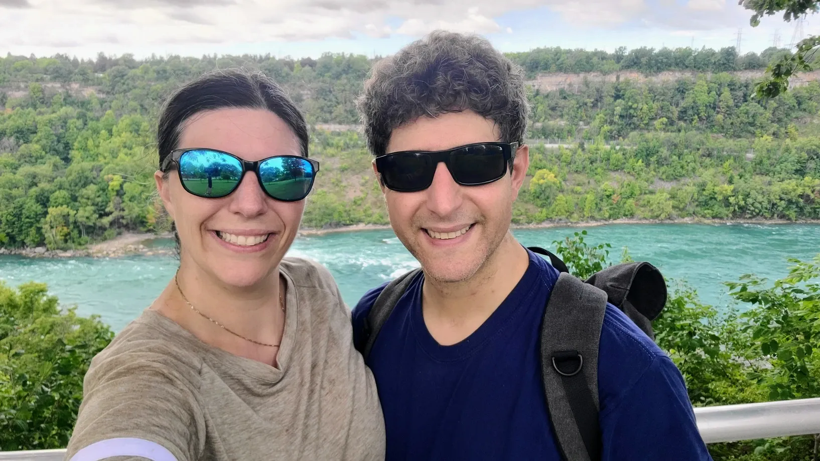
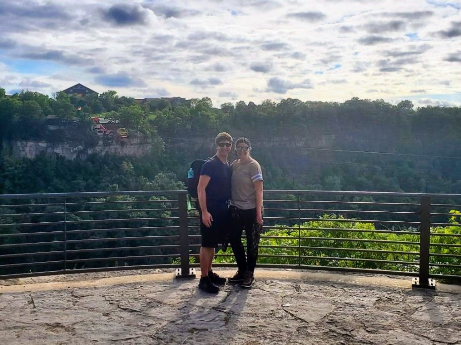
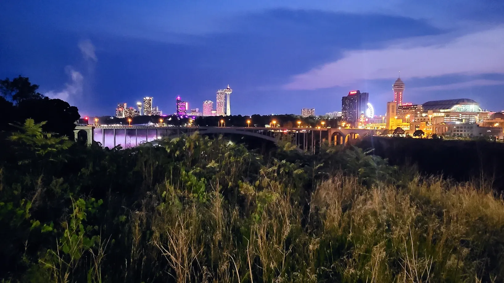
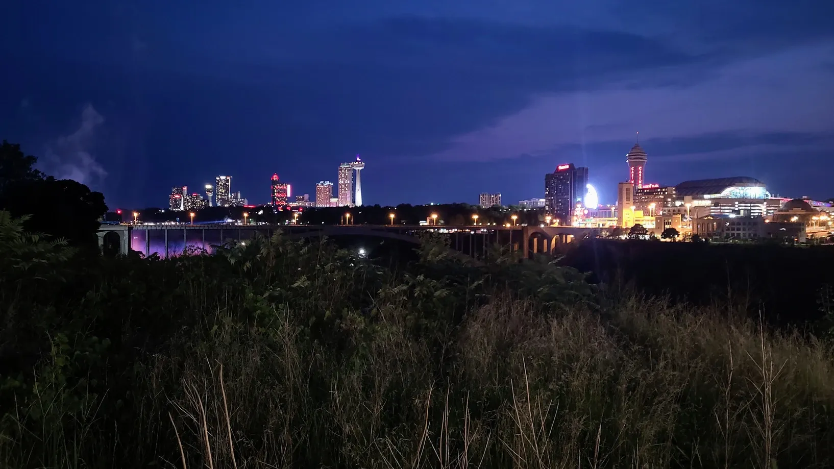
During our time in Niagara, we made sure to take advantage of all that the area offers. On the Canada side, gorgeous views of the Falls and lots of fun tourist attractions. On the New York side, the many state park offerings - some touristy, and some just recreational. We needed to strike a balance between gazing at the remarkable beauty and marveling at the magnitude of these features. And quite a balance it is! Nature vs. Industrialization. Beauty vs. Power.
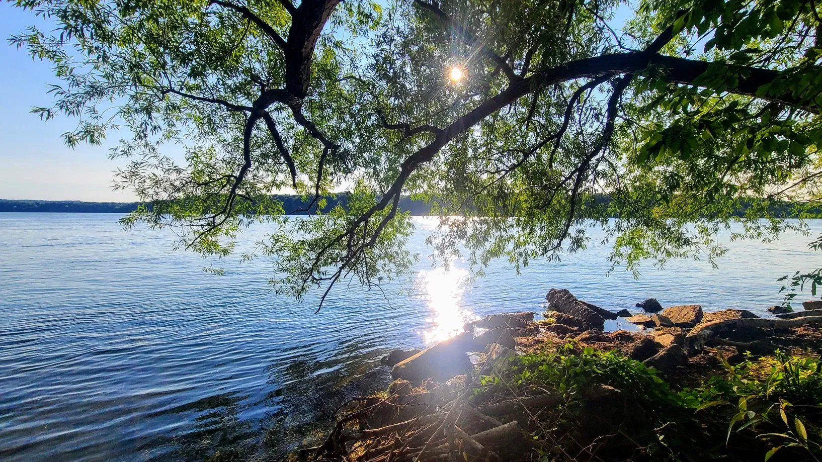
Unlike our trip 10 years ago where we barely got our feet wet (pun?) learning about our surroundings, this time we dove deeper (pun?) and really educated ourselves. The more we learned about the Niagara river, the more it mesmerized us. In a place where most people take whirlwind trips, we now had the opportunity to spend more time exploring. One of our favorite ways to explore an area is through hiking. One day shortly after arriving to Niagara, I came up with an idea. We should challenge ourselves to hike at least 36 miles in the area.
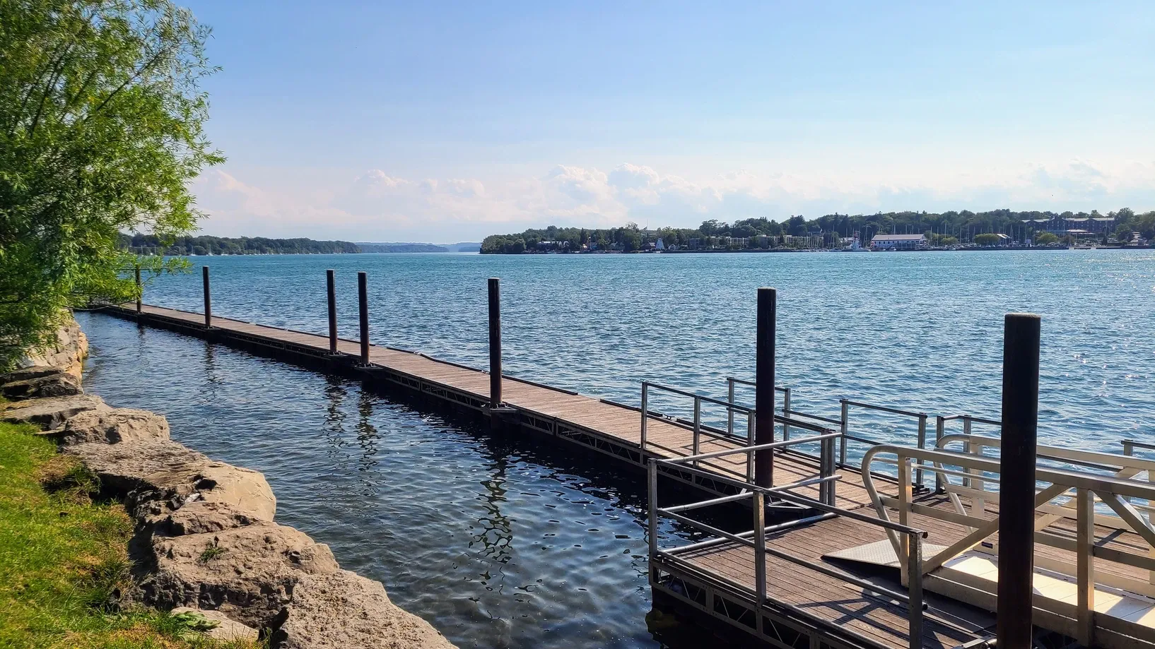
Why 36 miles? Because that's the length of the Niagara River. It's surprisingly short considering how much water flows through it, not so much a river but a channel that connects Lake Erie and Lake Ontario.
Though many of our hikes did indeed take us along the river, we wanted to count any distance on an actual hiking trail in the area. This included our Lake Ontario hikes and state park trails. 36 miles doesn't sound like a lot to accomplish in 2.5 weeks, but that time goes by fast, especially when many of the days were taken up with work, chores, Ontario excursions, and iffy weather. We were also still getting over our exhaustion from being bugged out at our last Lake Ontario campground. August had left us feeling totally beat, so it was time to get back on track and start moving again. 36 miles was enough to be doable, but we'd still need to prioritize hiking time.
We only had two rules:
- We would calculate distances only on actual trails, not roads
- We had to complete the challenge while staying at our Niagara-area campgrounds
Otherwise, we were free to hike any area trails, repeat the trails, and go as slow or fast as we wished.
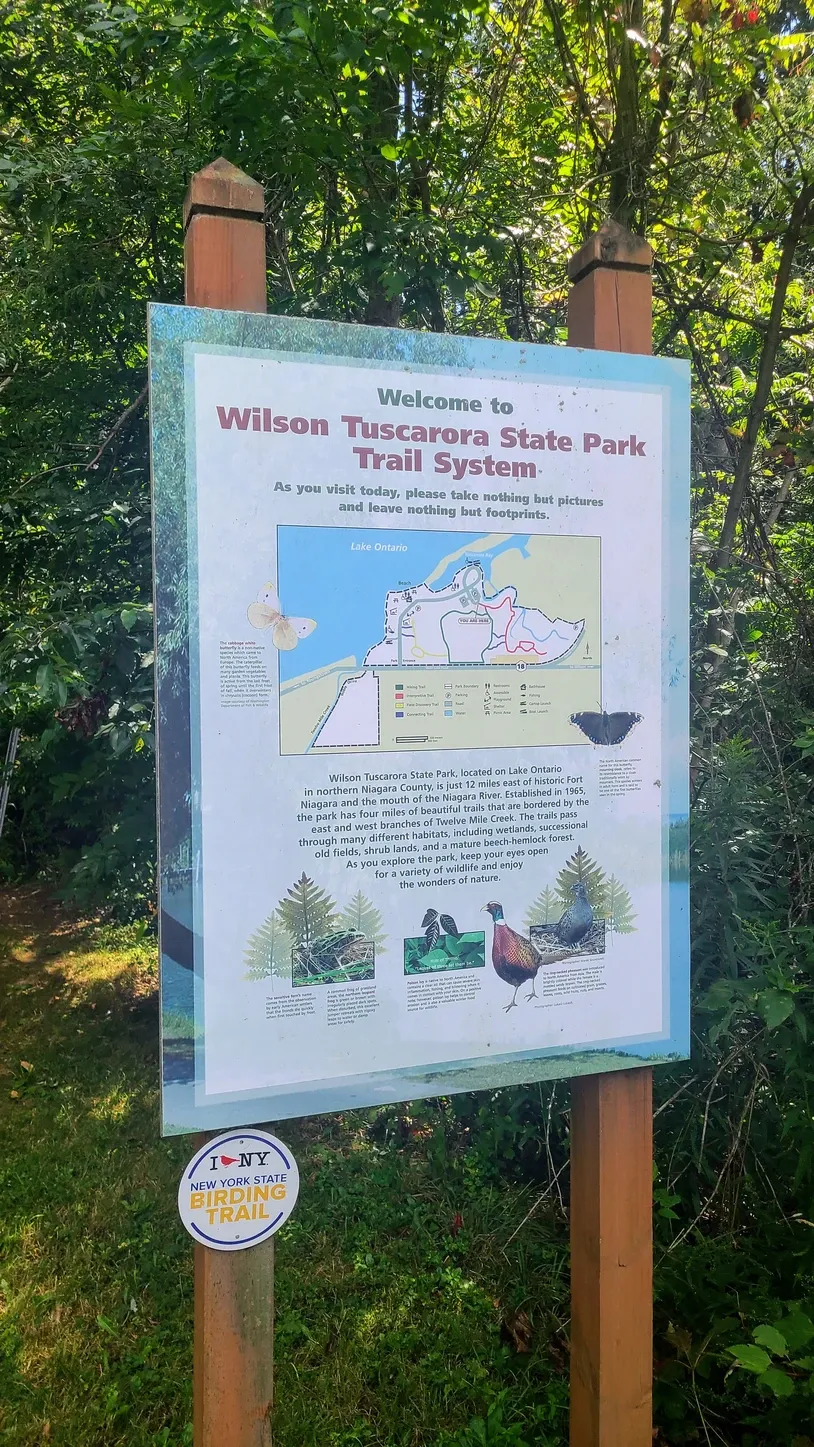
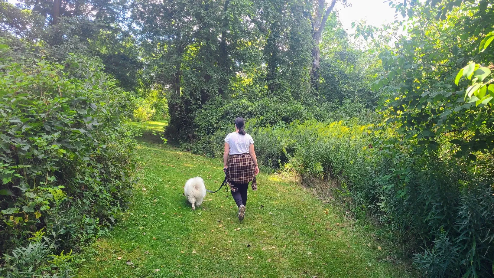
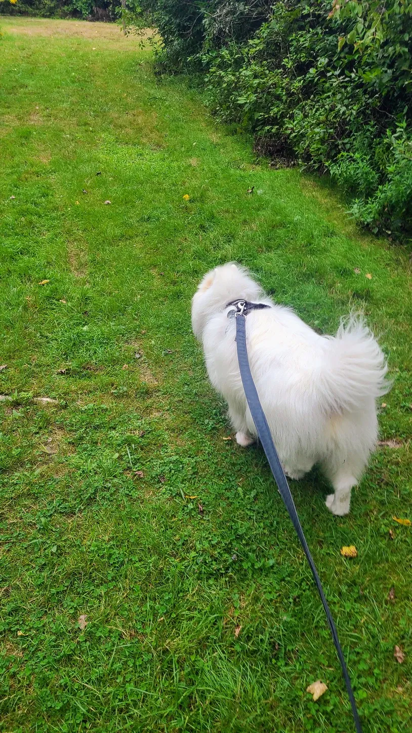
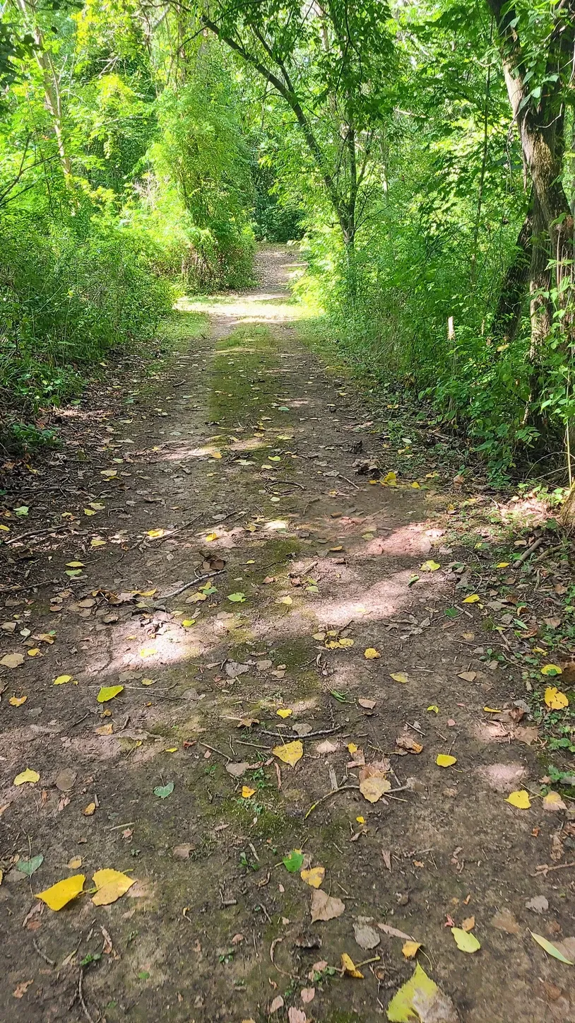
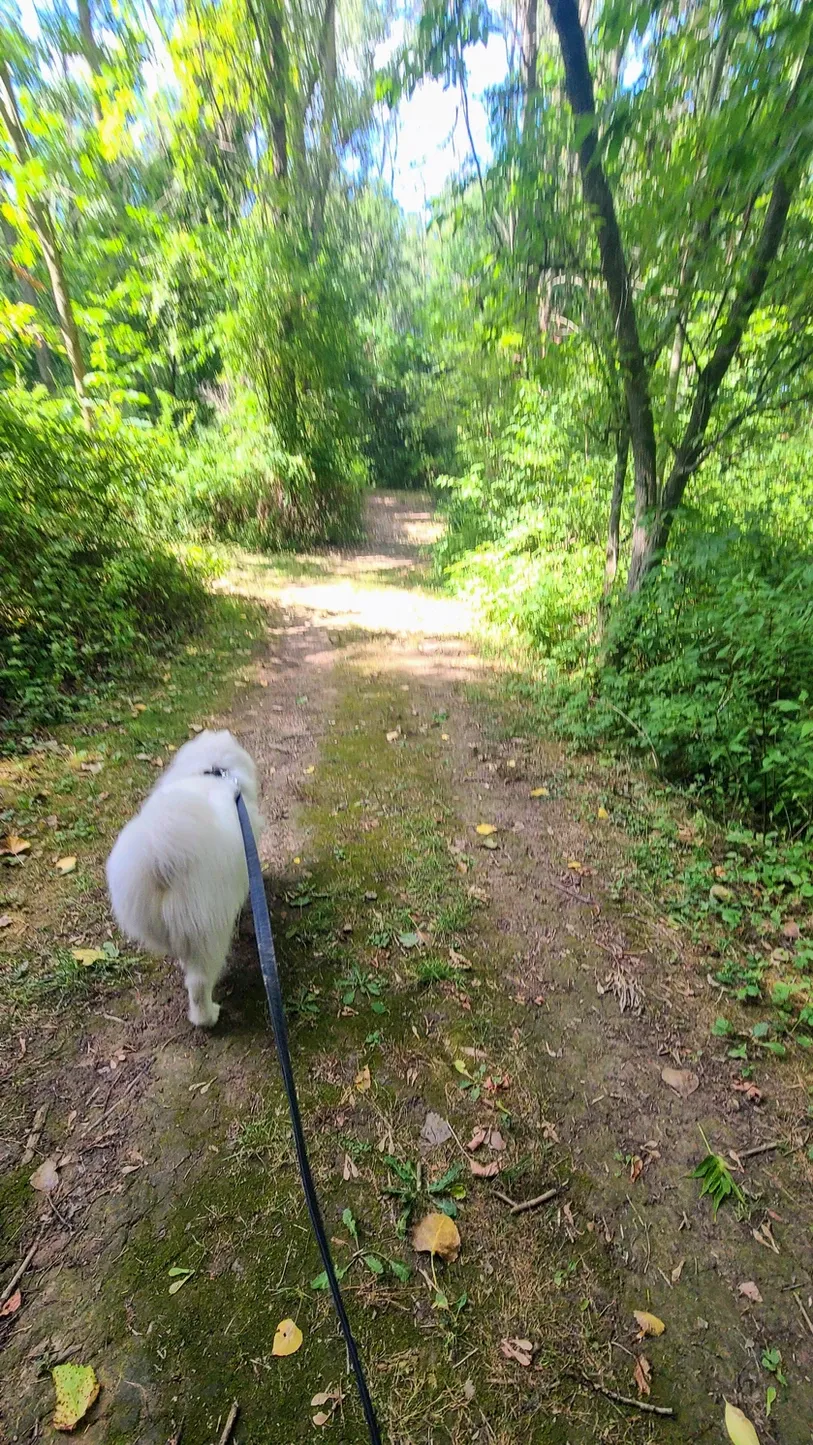
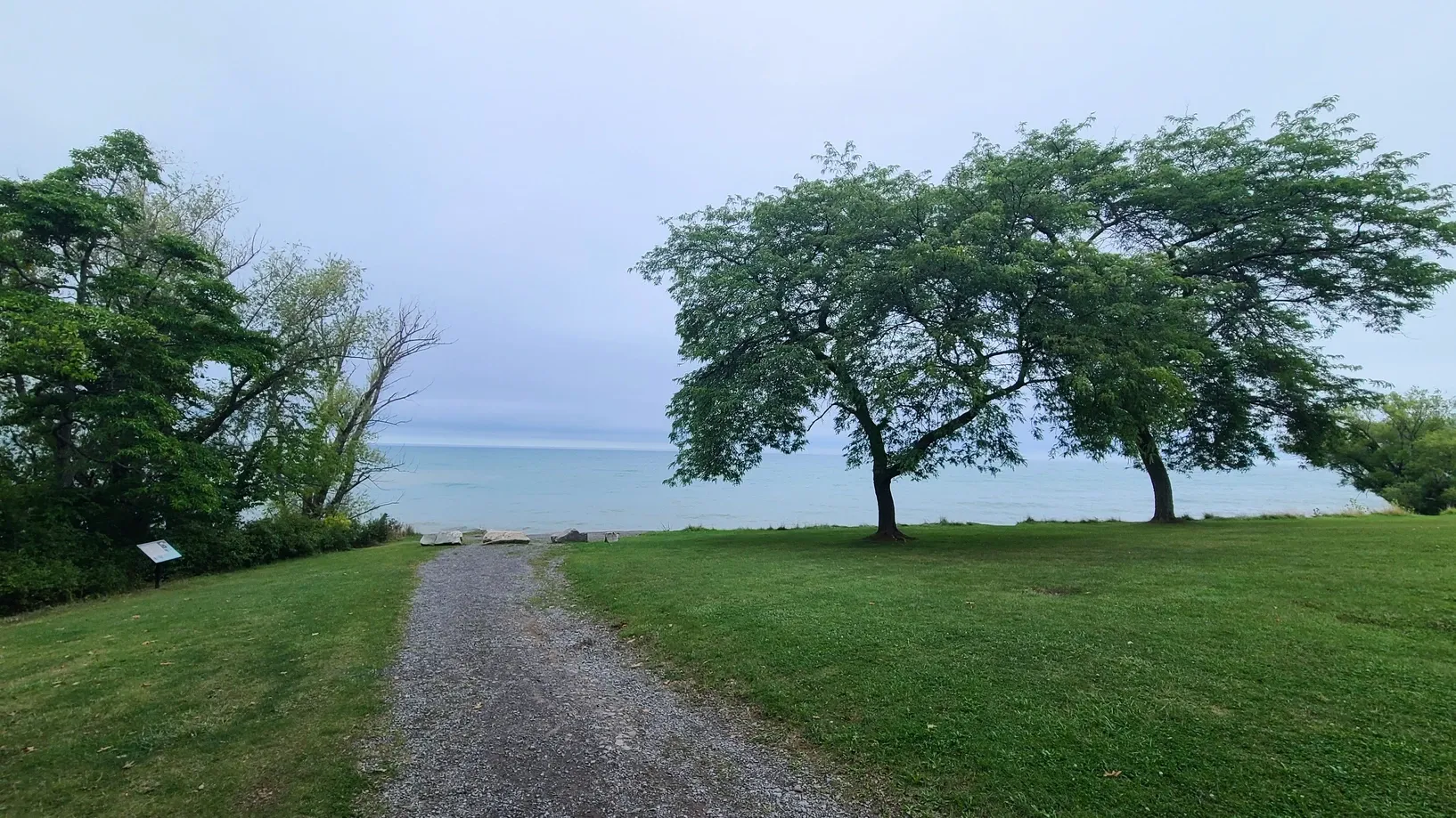
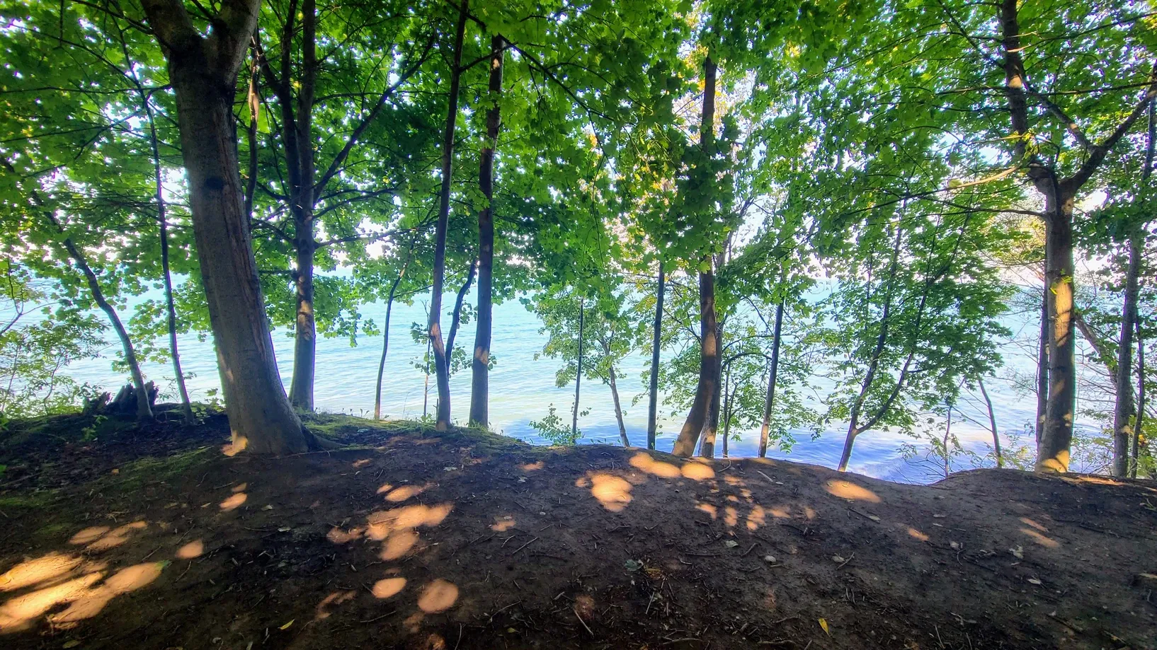
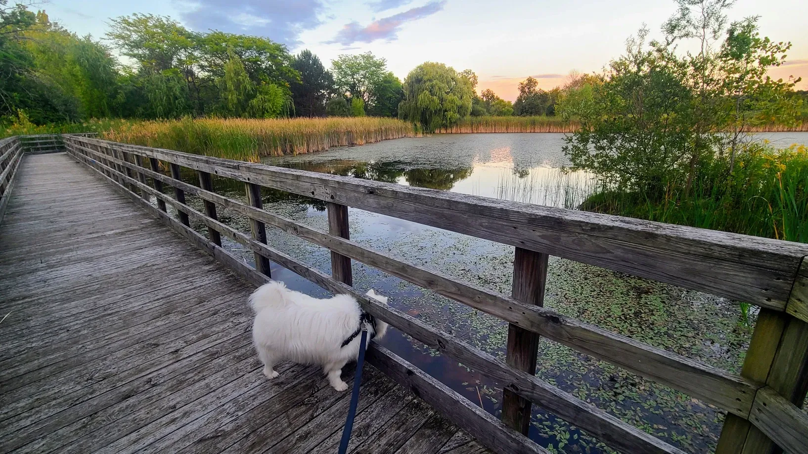
We began our challenge with a couple of trails at Wilson-Tuscarora State Park, just up the street from the first campground where we stayed. The trails were short, relatively flat, and not near the water, but they were a good warm-up for the challenge. The easier paths also allowed Tanner to come along with us.
Wilson-Tuscarora State Park Hiking Trail and Interpretive Trail, 2.4 miles
Part-way through our stay, we switched campgrounds, moving from an RV park to a State Park that had a few short hiking trails of its own. Already falling behind, we decided to take a quick lunchtime hike on the trail nearest our campsite.
Four Mile Creek State Park, 1.3 miles
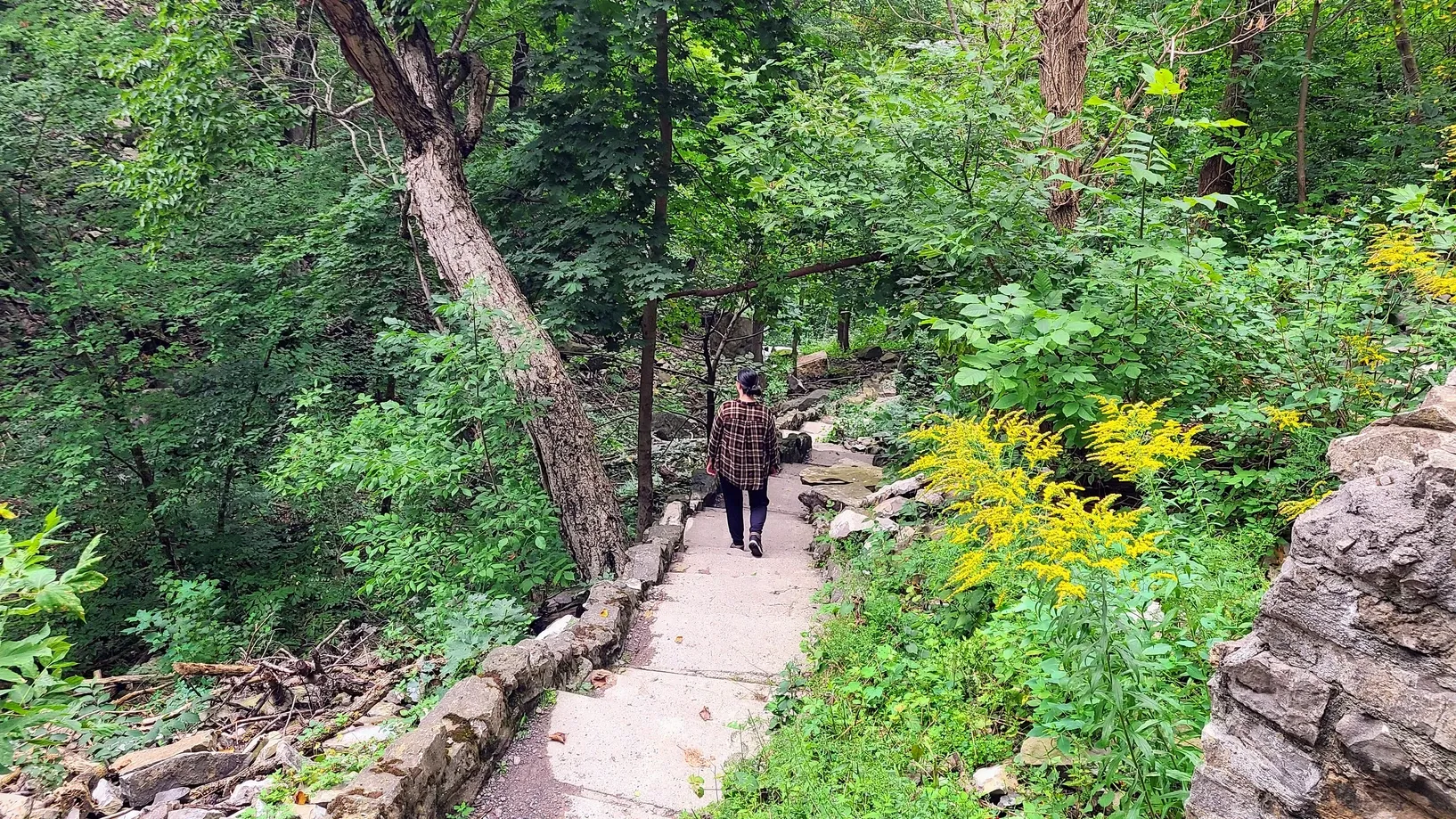
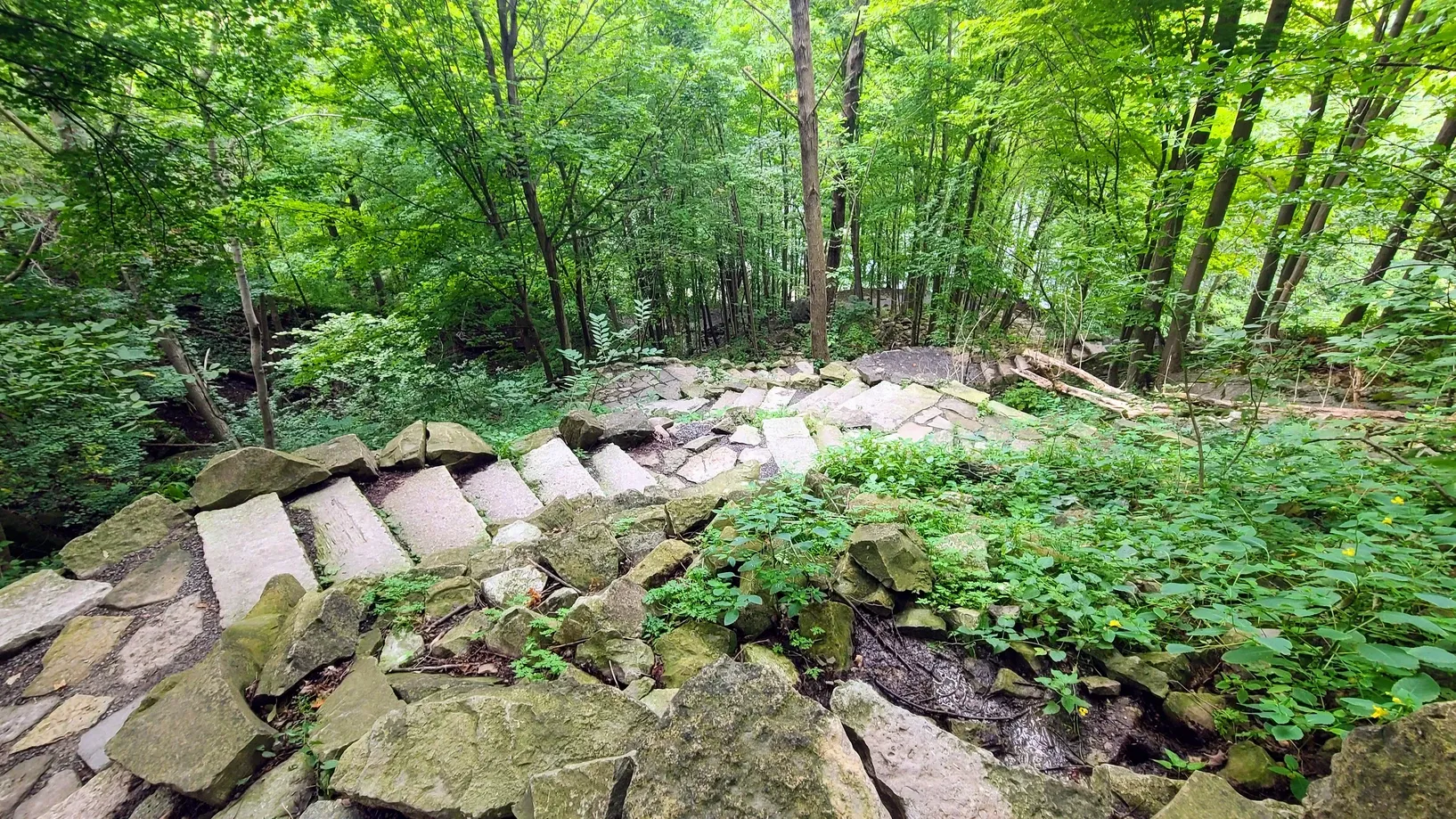
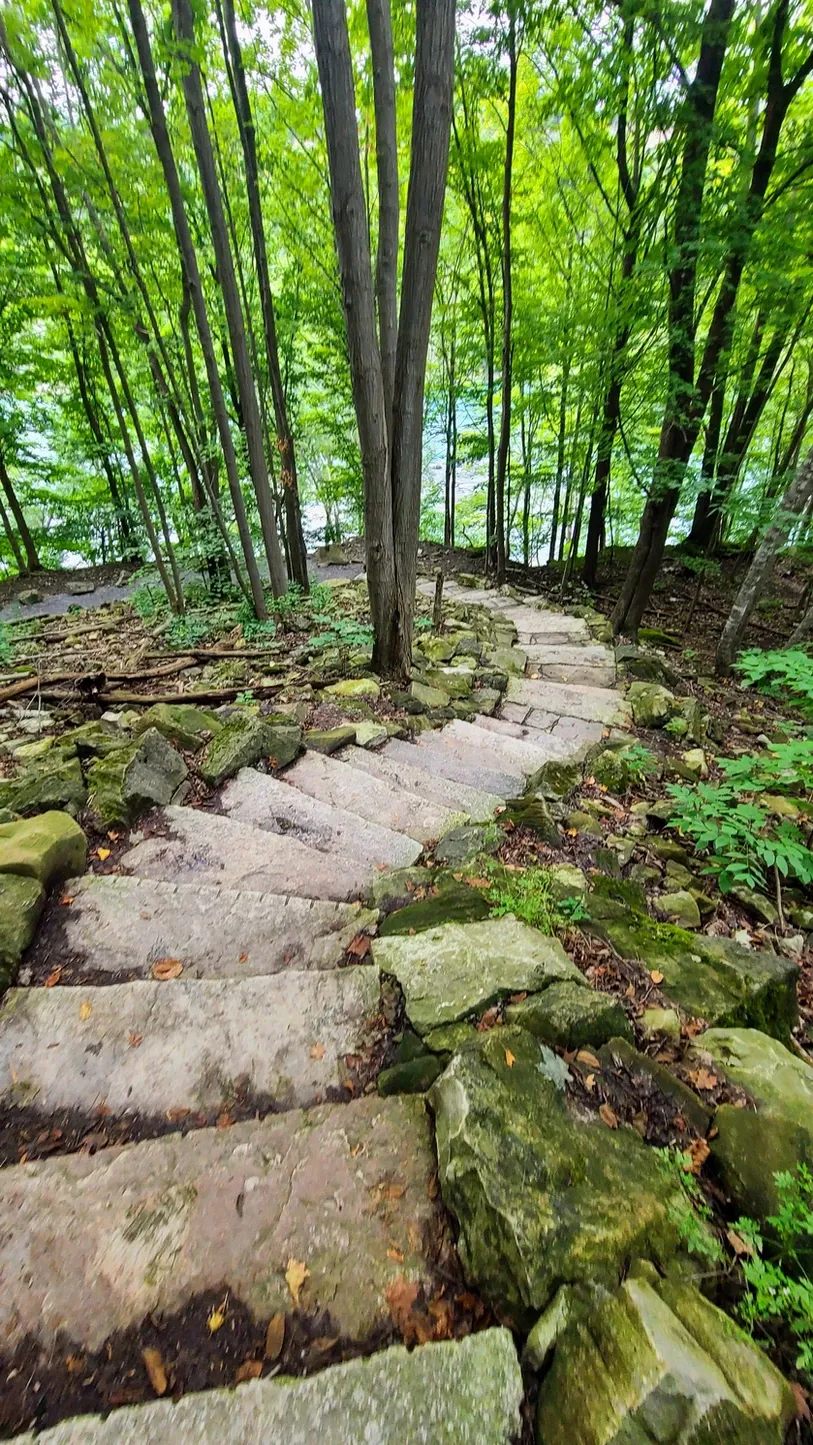
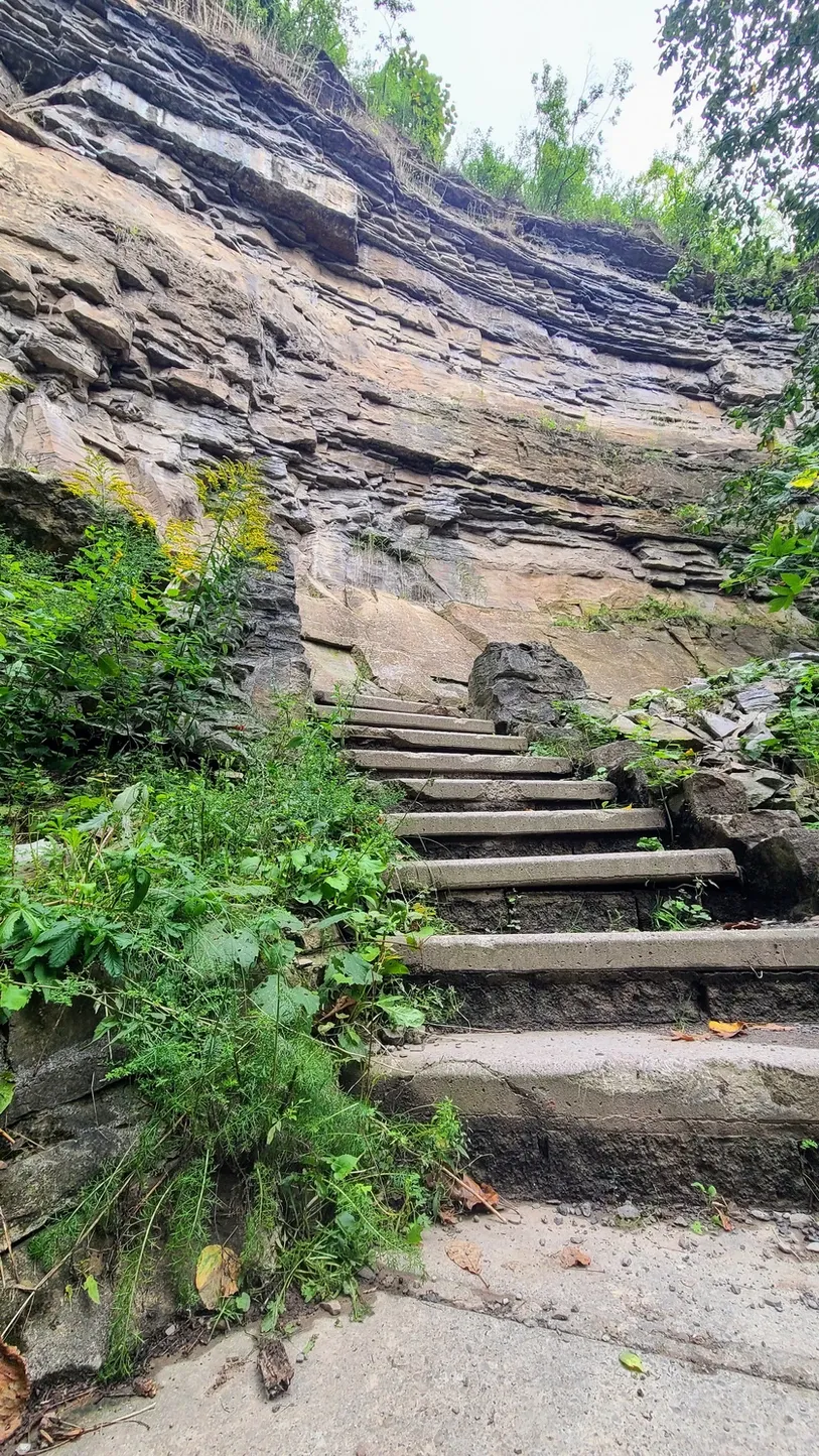
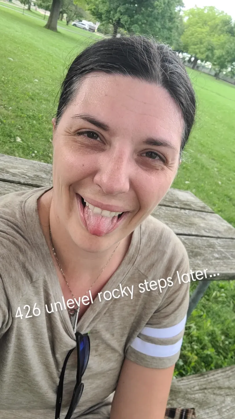
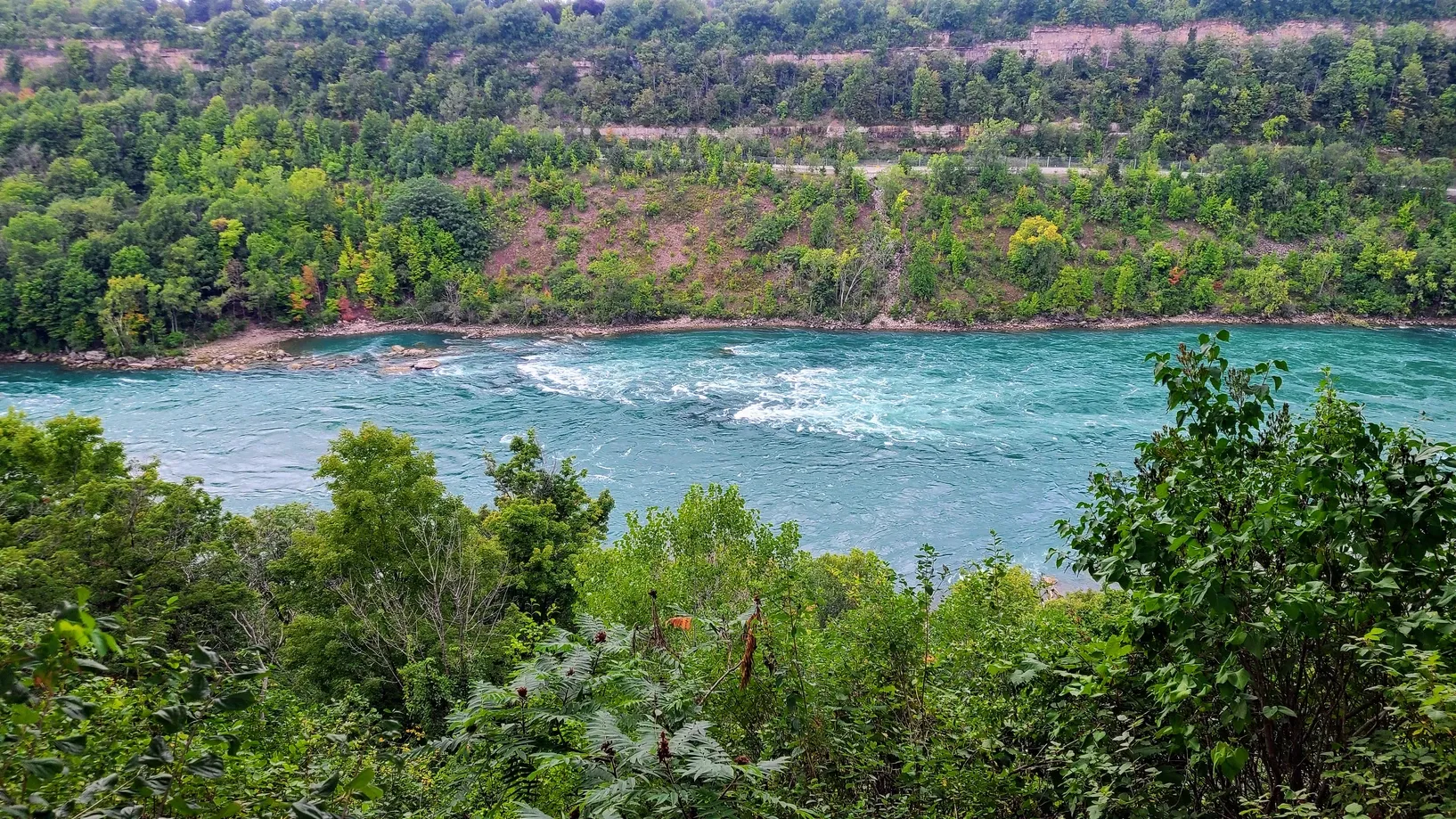
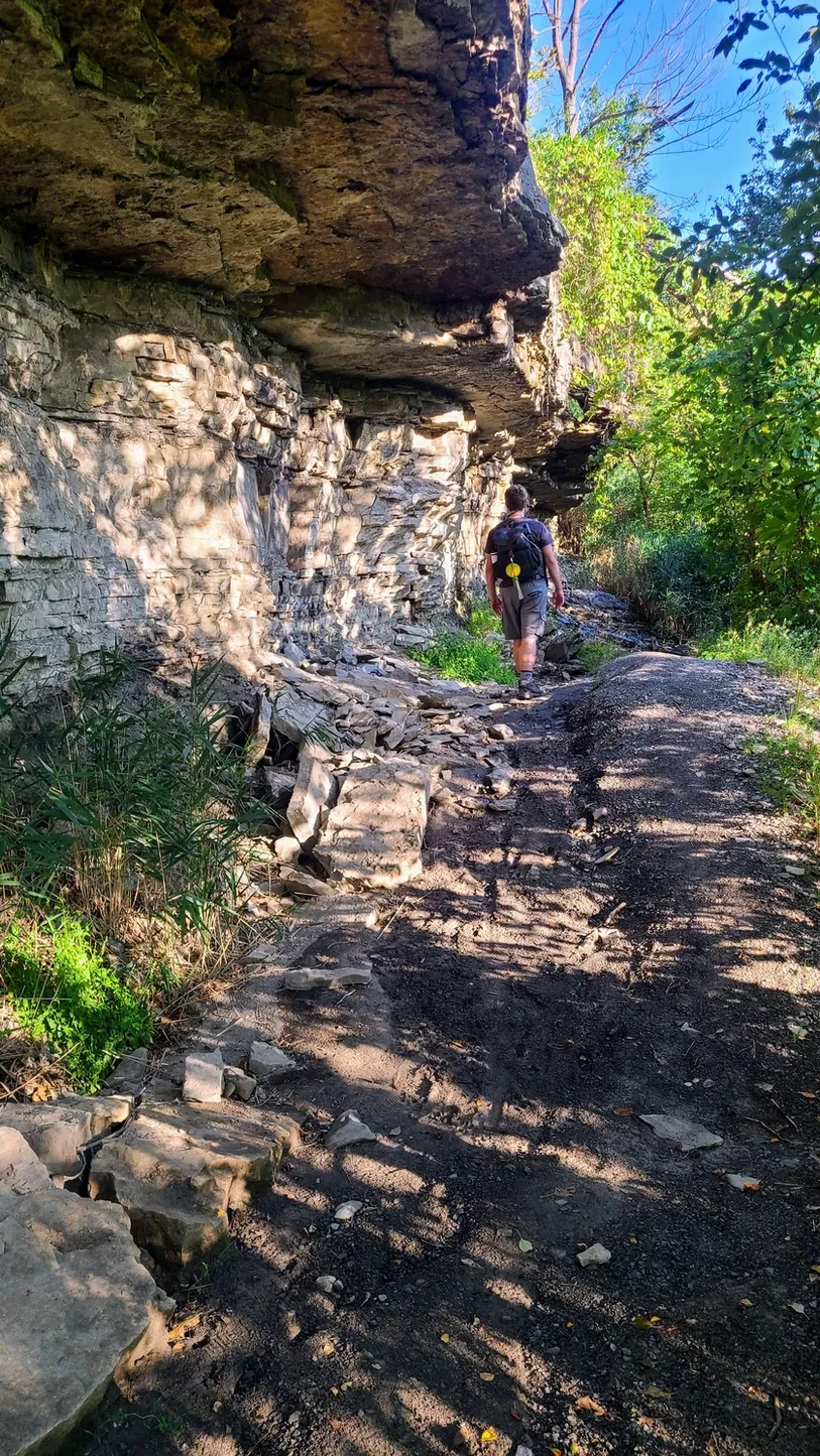
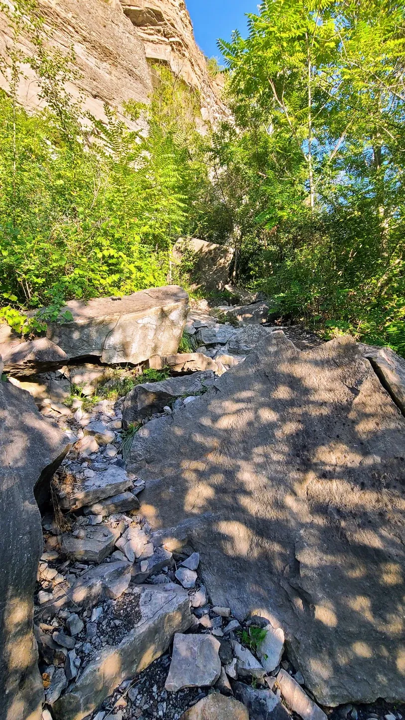
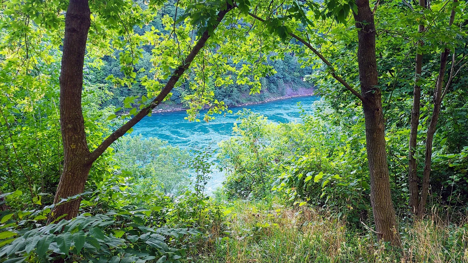
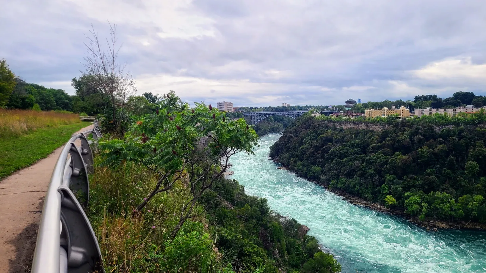
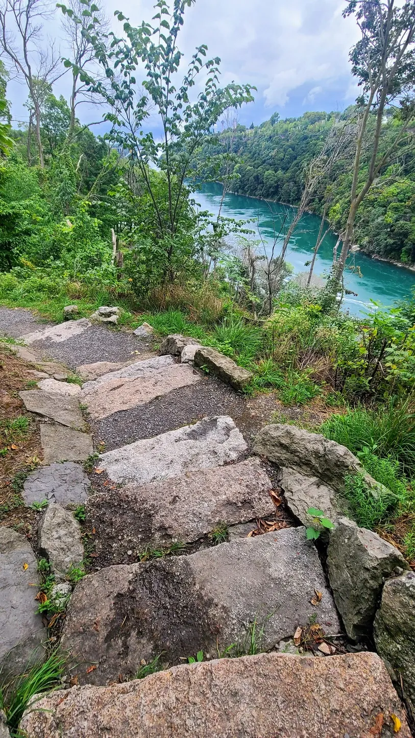
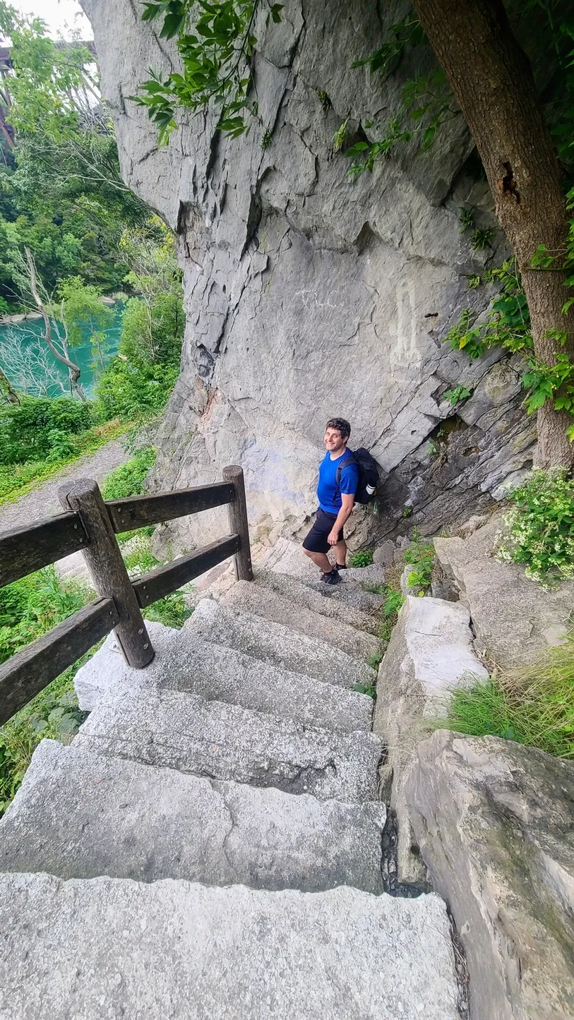
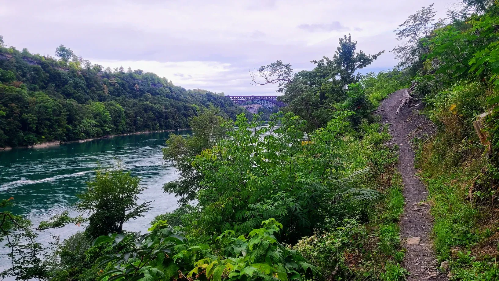
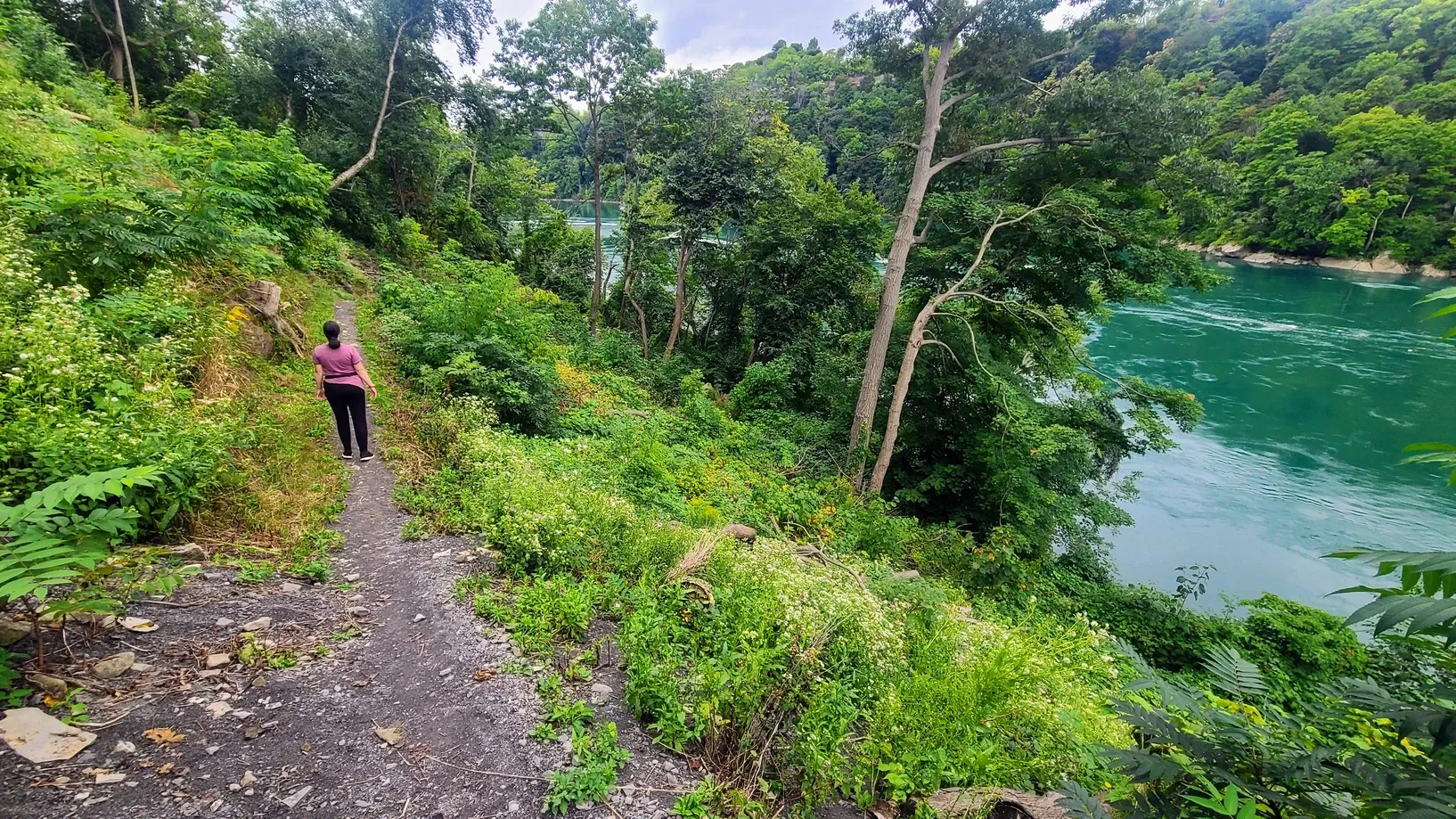
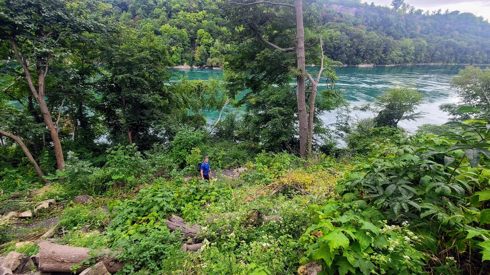
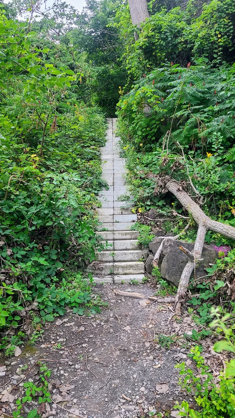
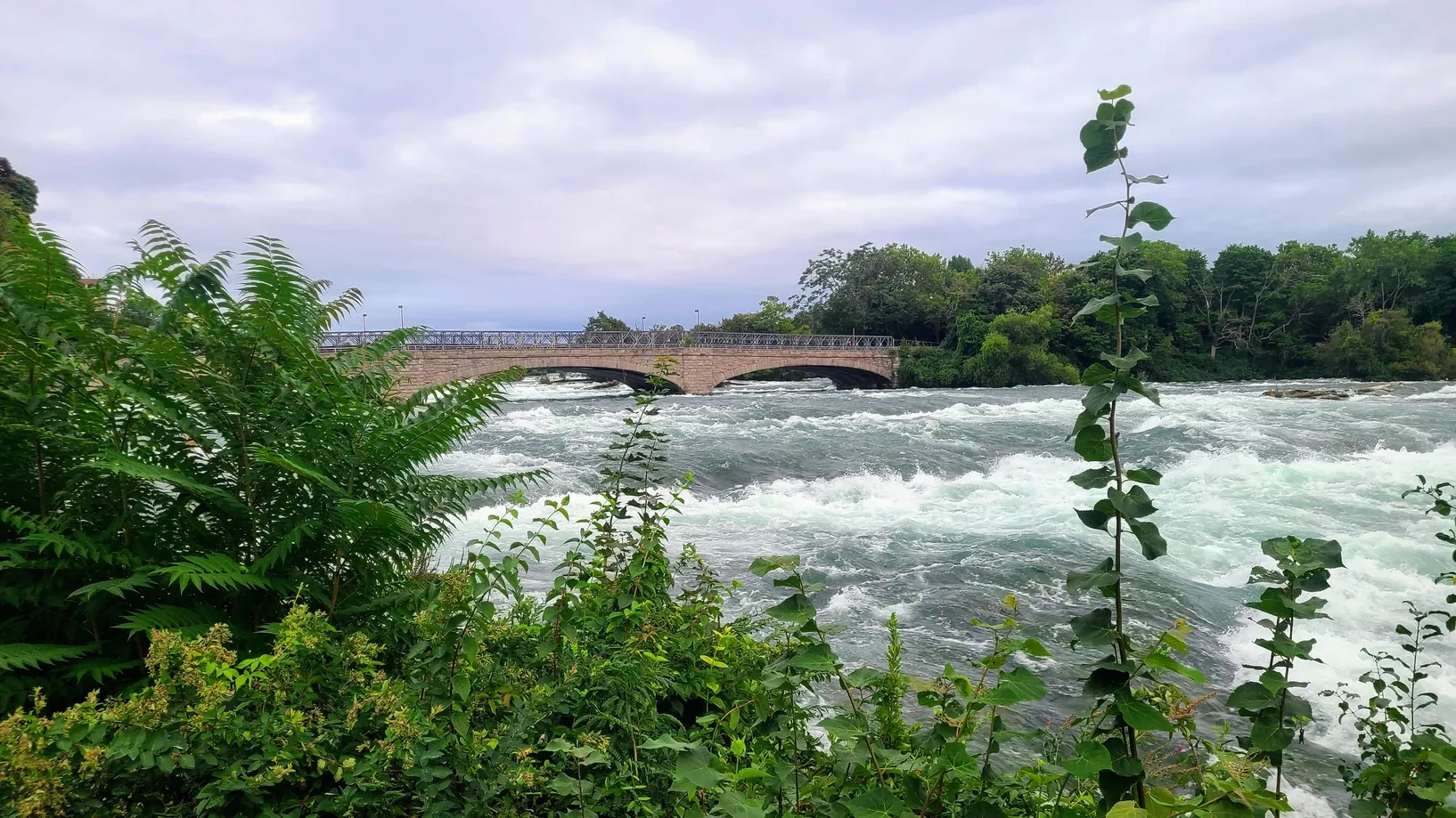
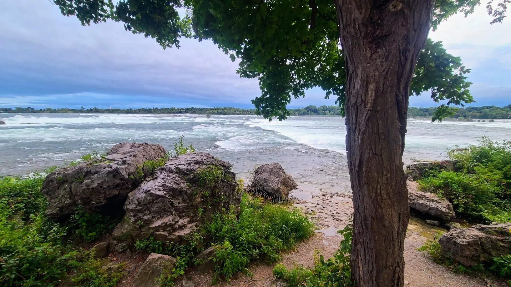
That same day, we ventured out after work and finally accomplished some hiking along the Niagara River. This is where things got really fun. We drove to Devil's Hole State Park and walked the 2.5 mile gorge trail, which includes 426 rock stairs, which we needed to climb down at the beginning of our hike and back up at the end. We ended up descending over 360 feet on those stairs alone to get down by the river!
Devil's Hole State Park, 2.5 miles
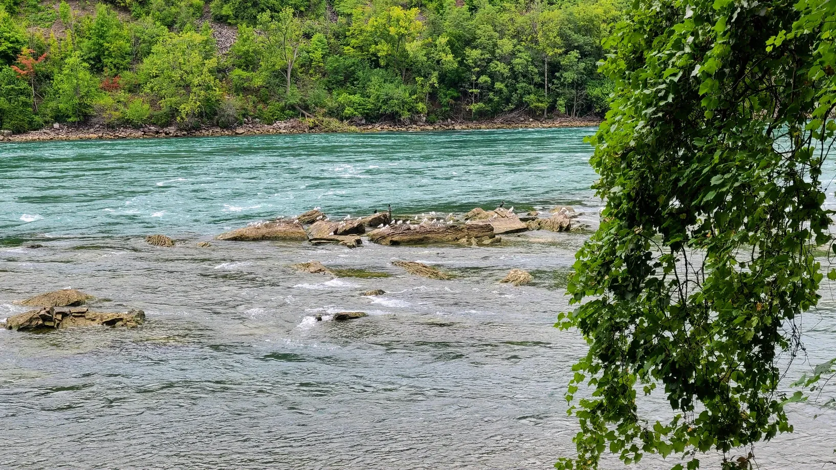
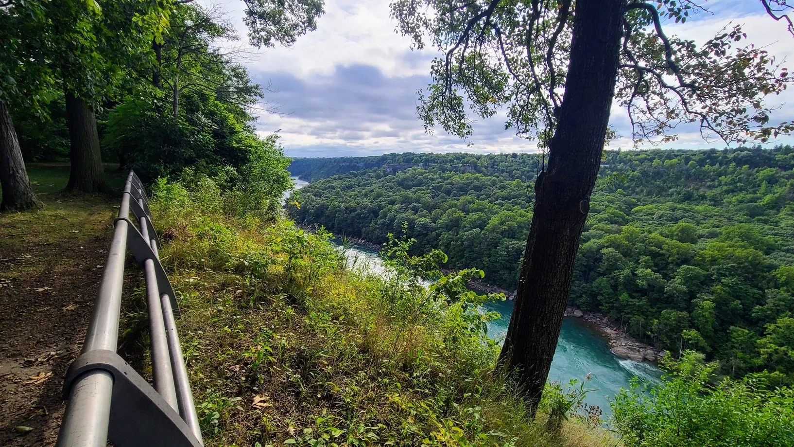
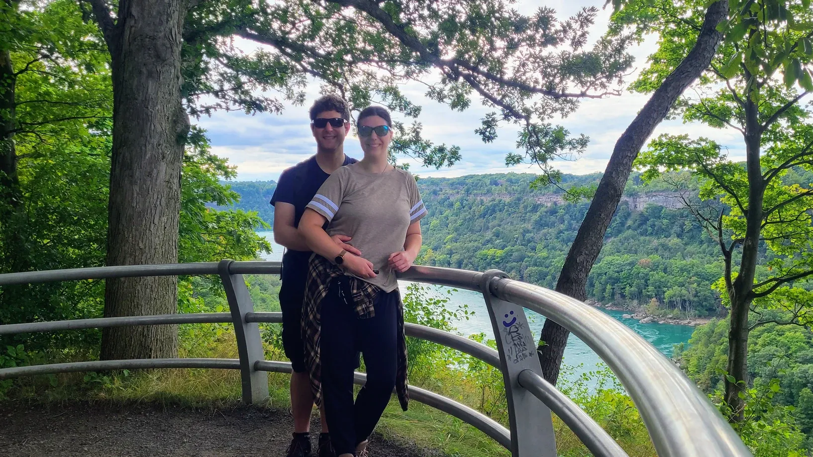
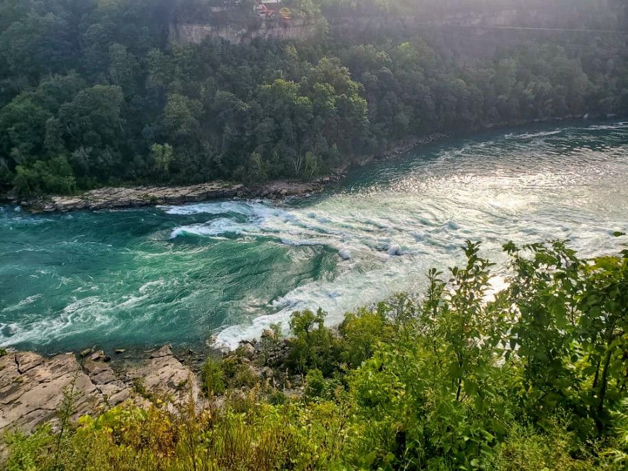
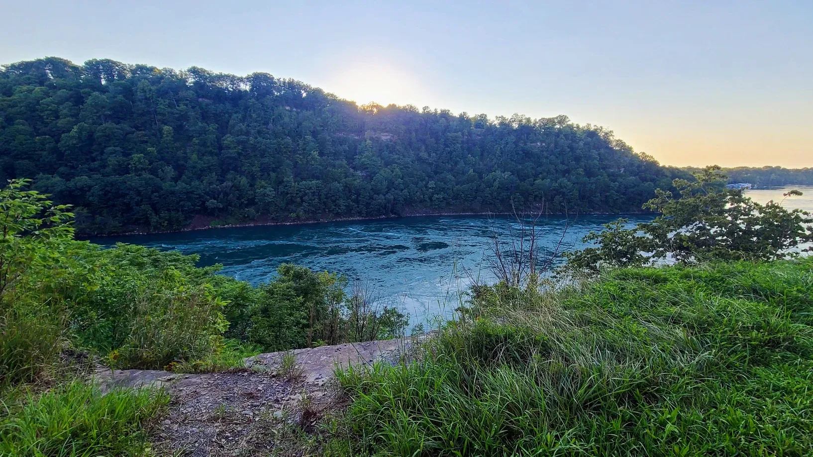
It was already a productive day, but we decided to keep going. After climbing 360+ feet back out of the gorge, we hopped on the nature trail that connects Devil's Hole State Park to Whirlpool State Park. This trail allows recreationalists to safely parallel the auto road and offers spectacular views of the gorge rim and the river below. We were hoping to get to see the Aero Cars traveling back and forth over the river, but unfortunately they weren't operating. Still, the views made this a wonderful hike. We could have opted to descend more stairs and take the rim trail, but the sun was starting to set and we knew it would be a slow climb that we wouldn't want to do without good light. Either way, the distance was the same, and the day gave us a total of nearly 7 miles of hiking. Finally we felt like we had made a sizeable dent in our challenge!
Devil's Hole to Whirlpool State Park, 3.0 miles
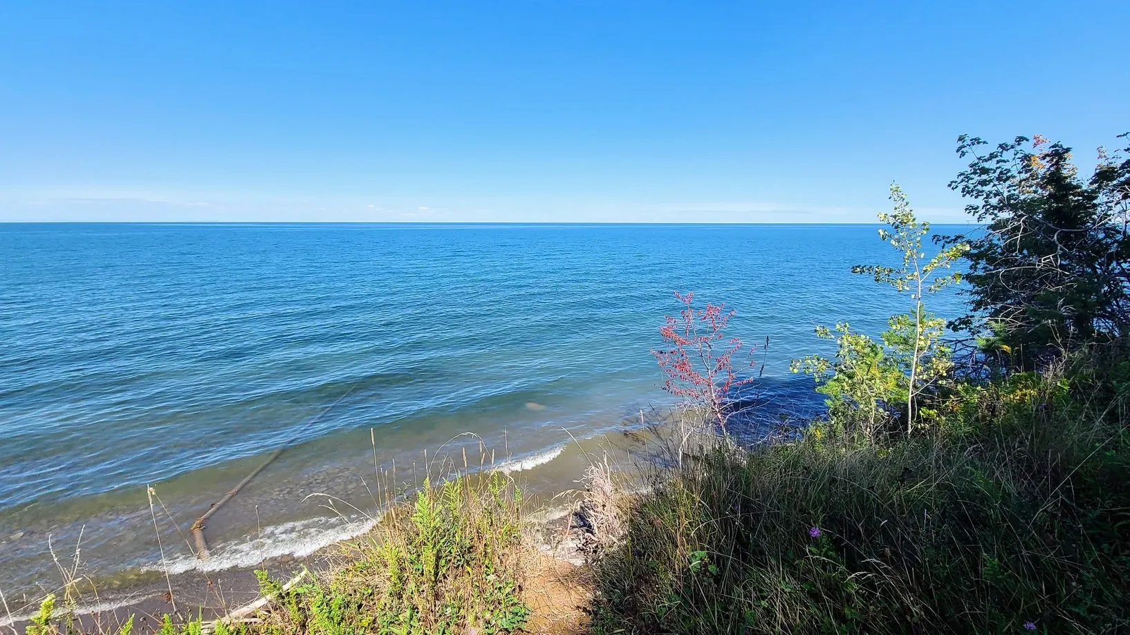
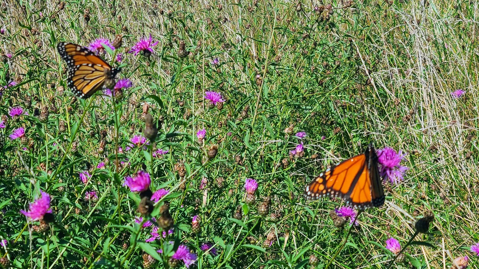
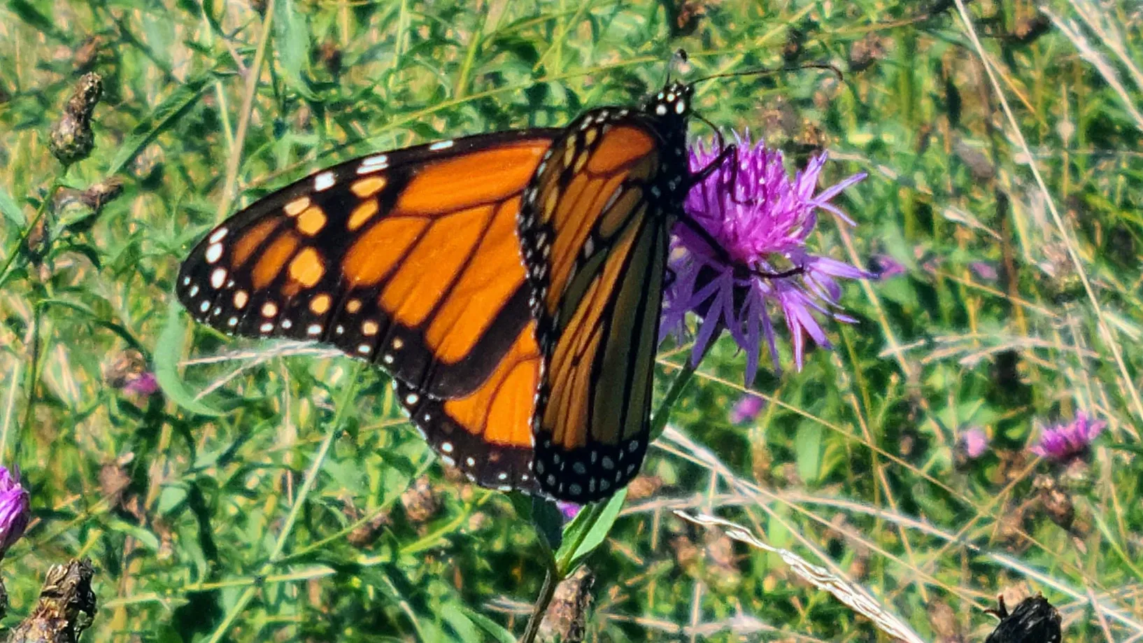
Another weekday brought another lunch hike around the state park. We ventured across the campground to what we thought were trails, but both led to dead ends. We got a couple of nice pictures of Lake Ontario and some monarch butterflies, but we needed to cover more distance. So it was back to our ~1 mile trail near our campsite.
Four Mile Creek State Park, 1.5 miles
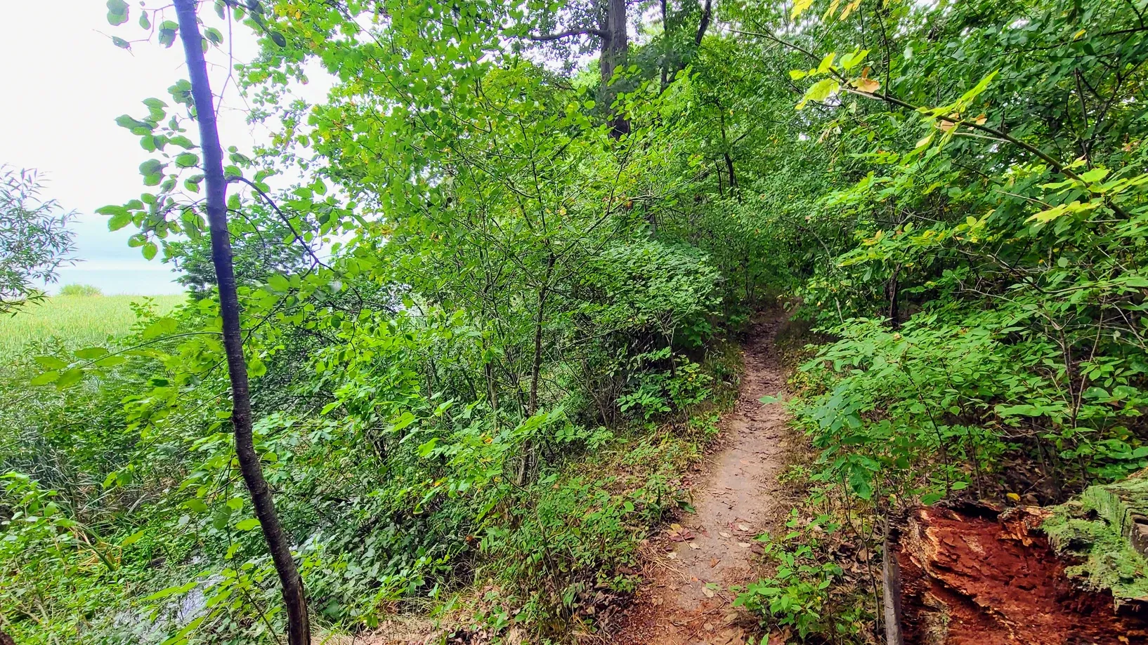
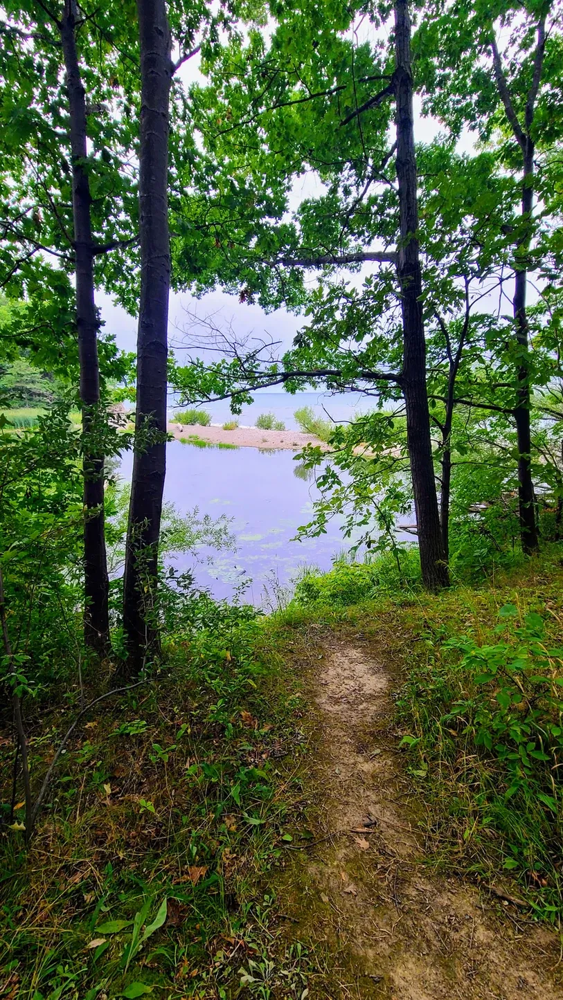
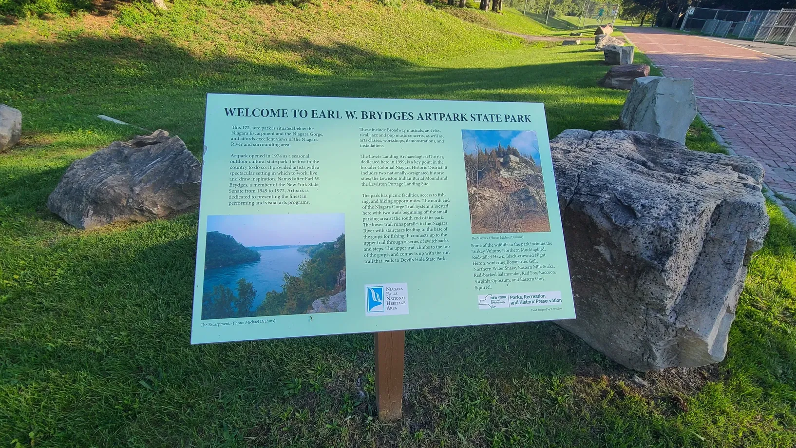
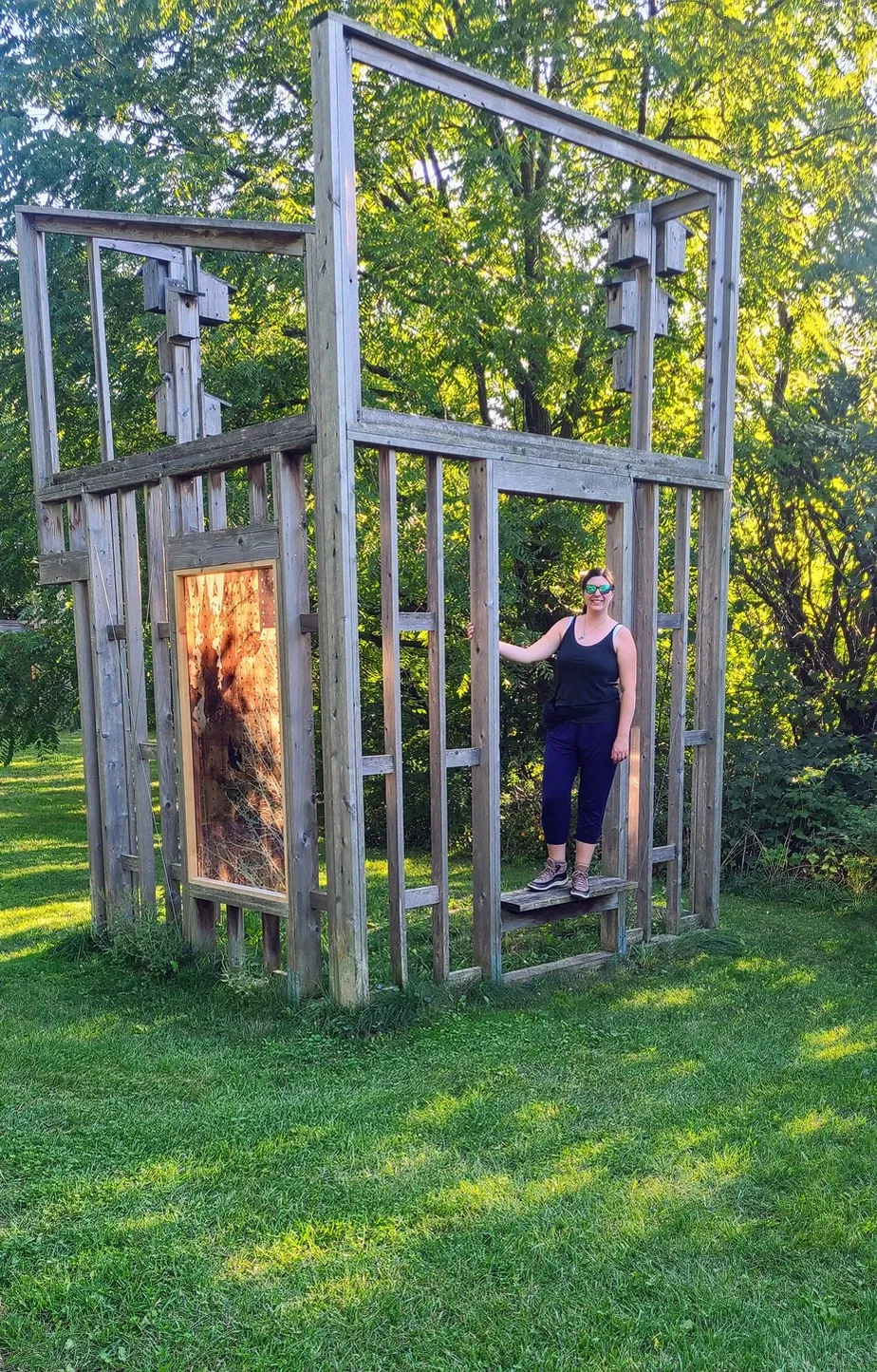
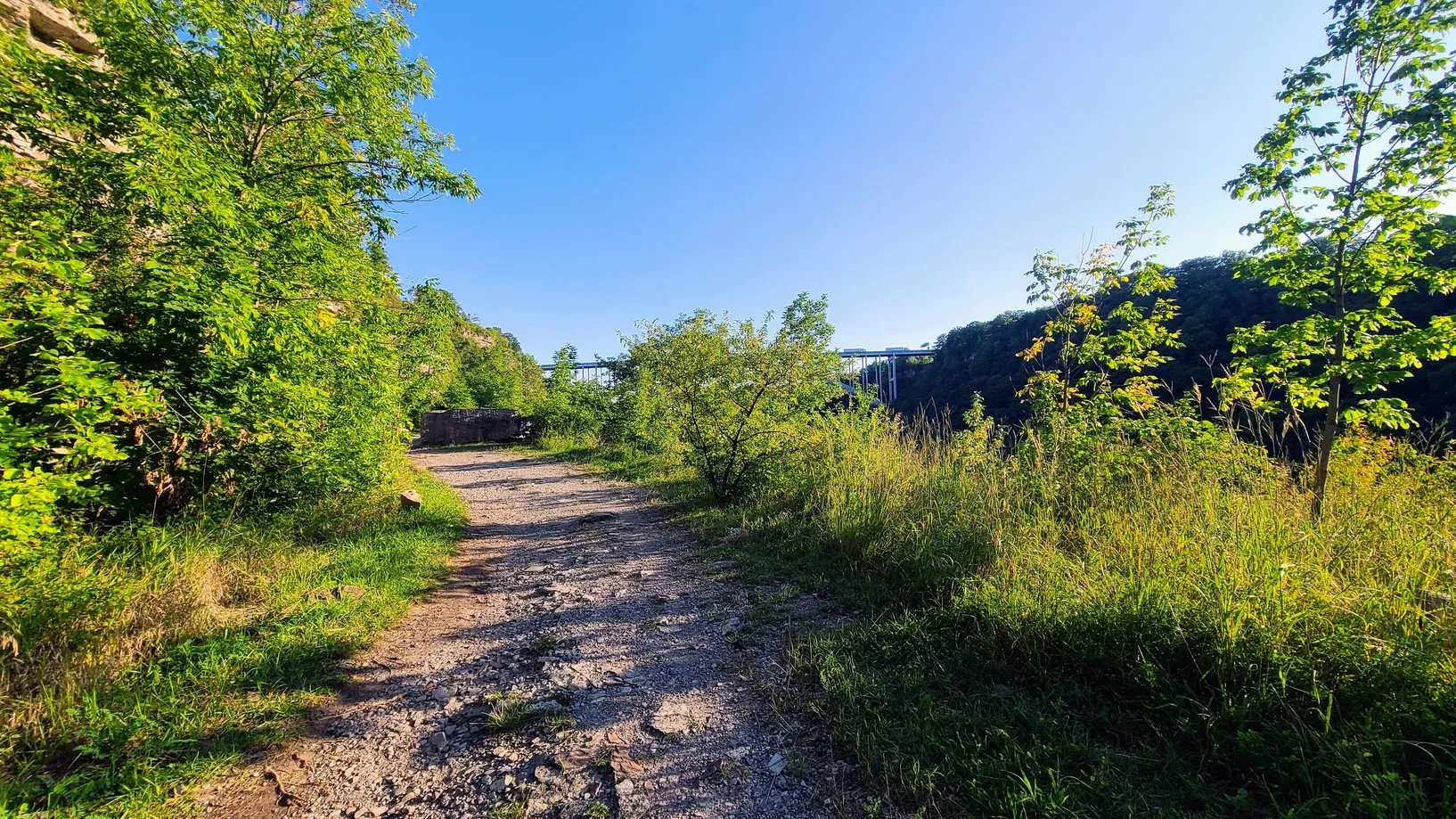
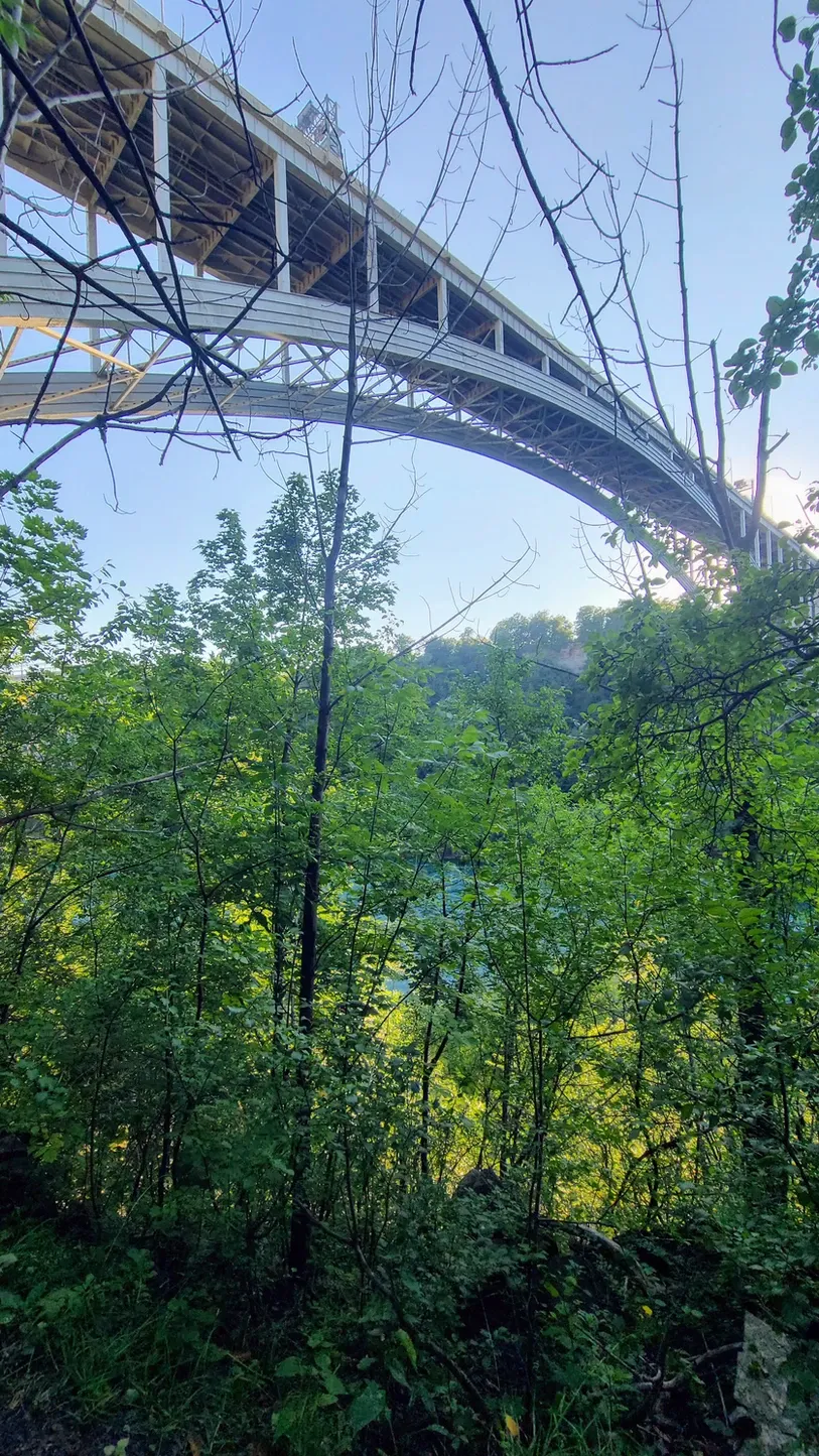
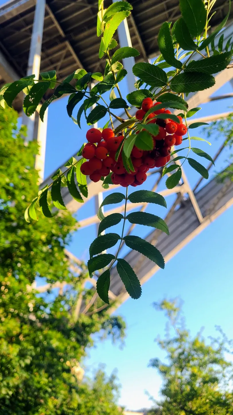
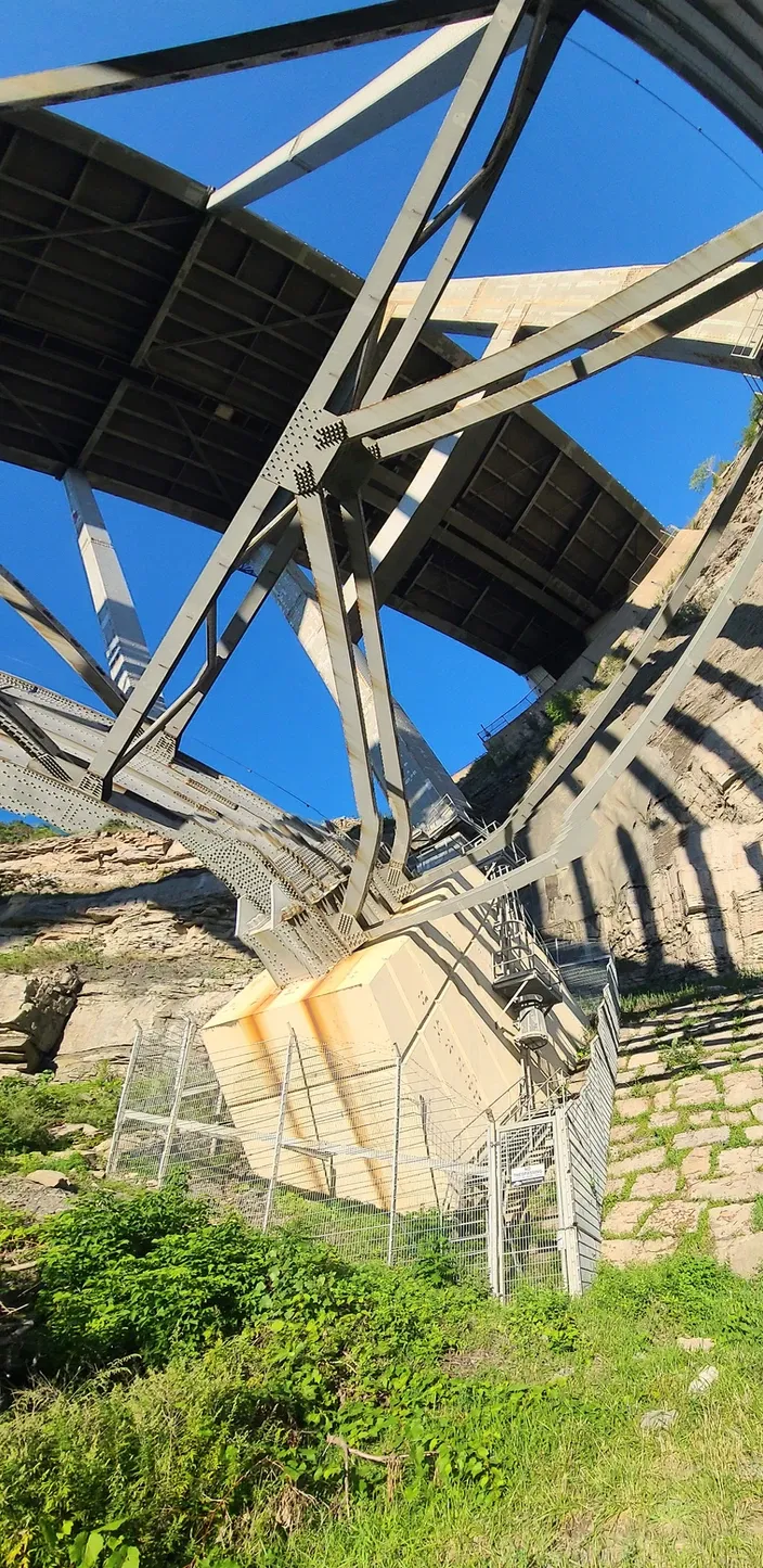
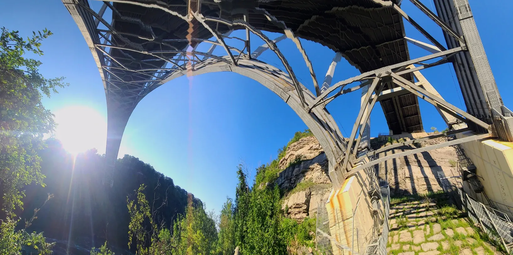
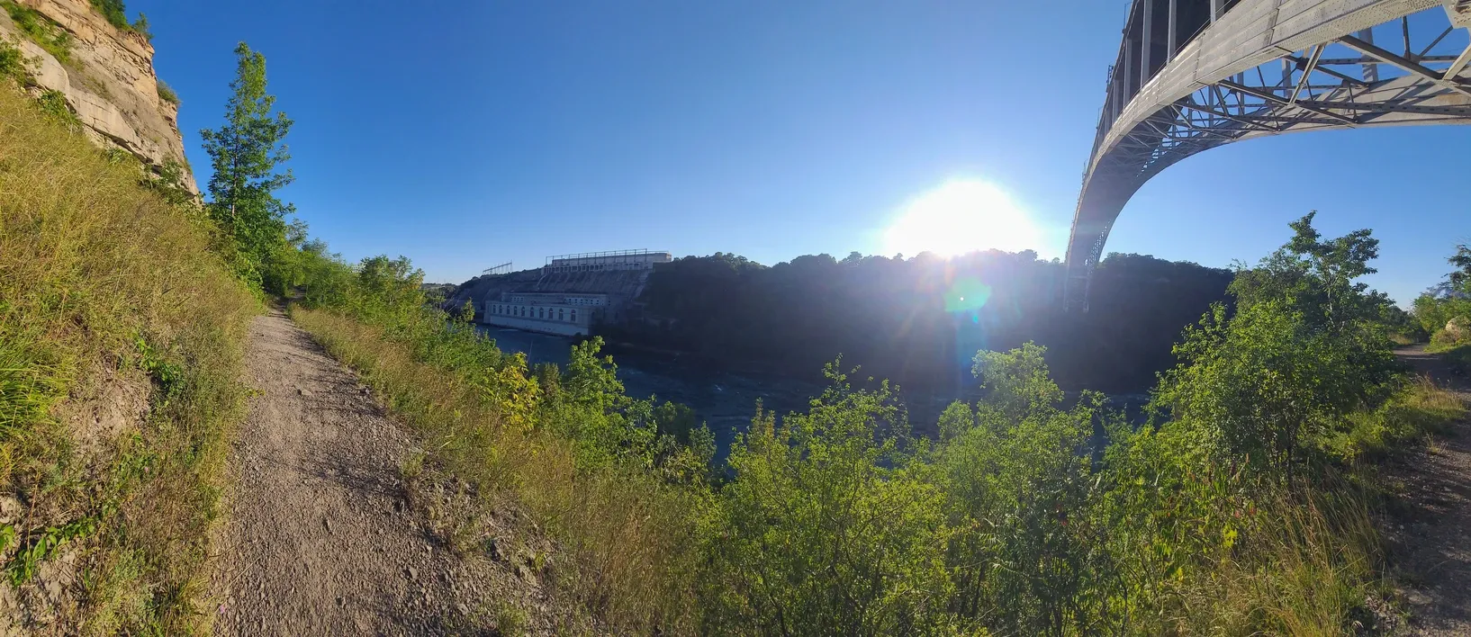
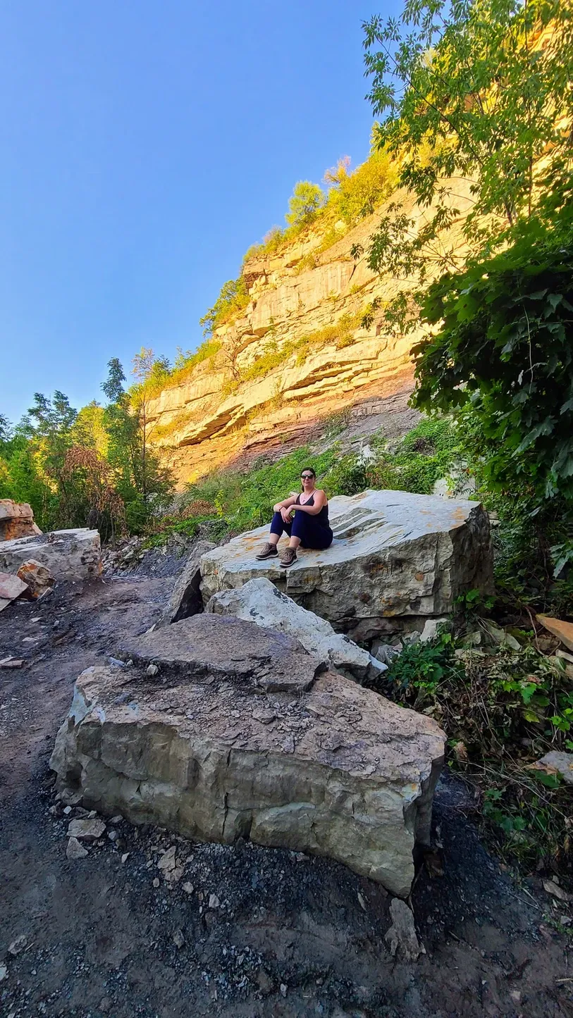
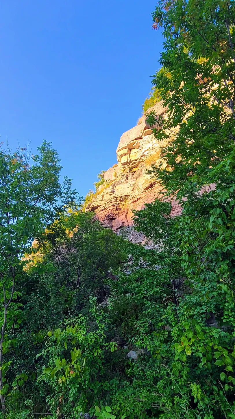
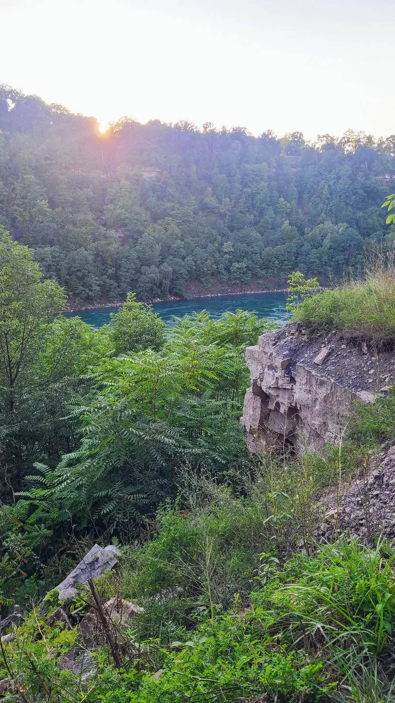
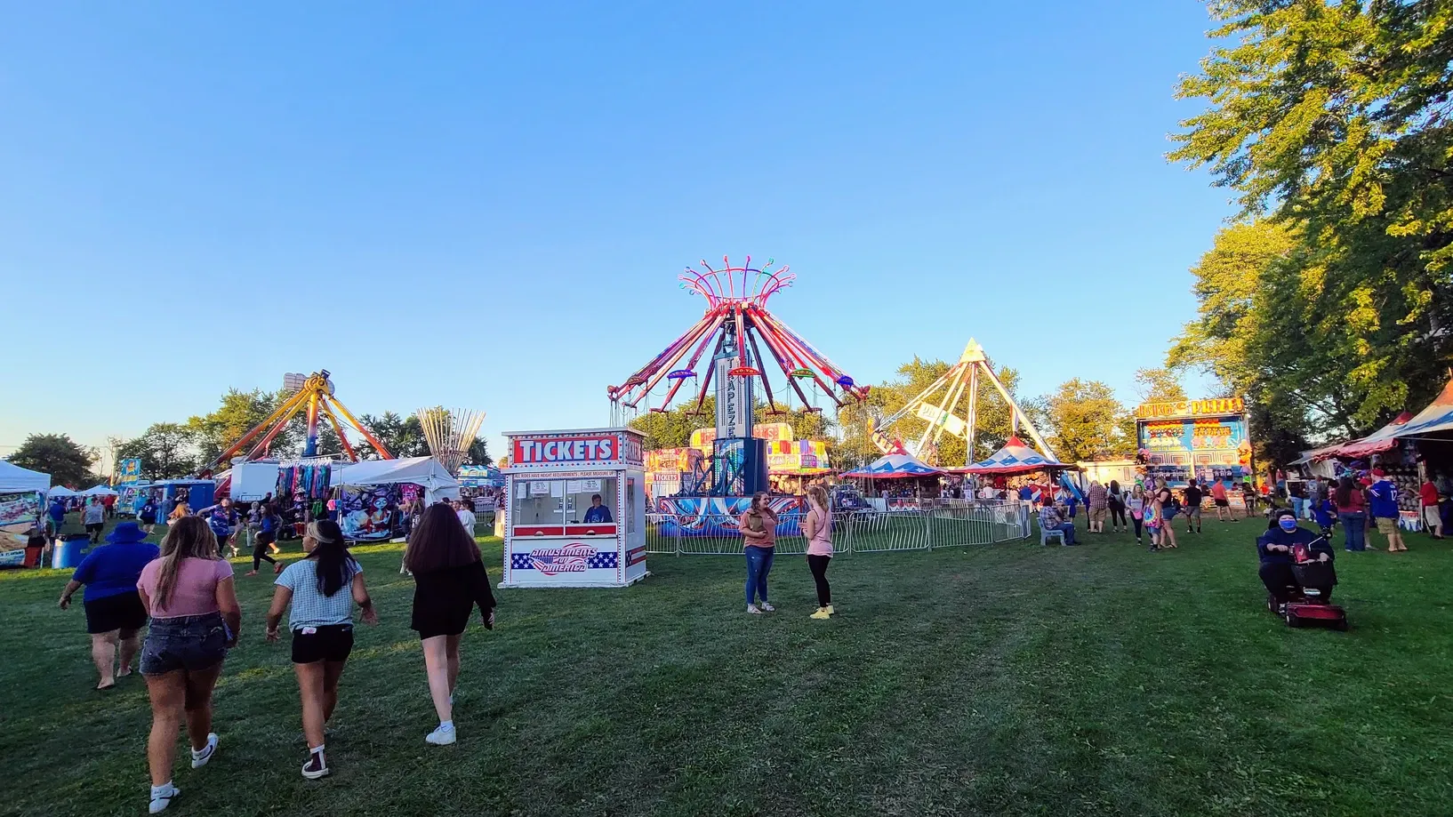
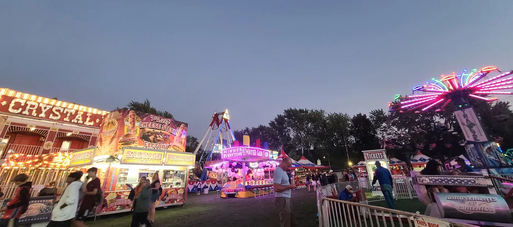
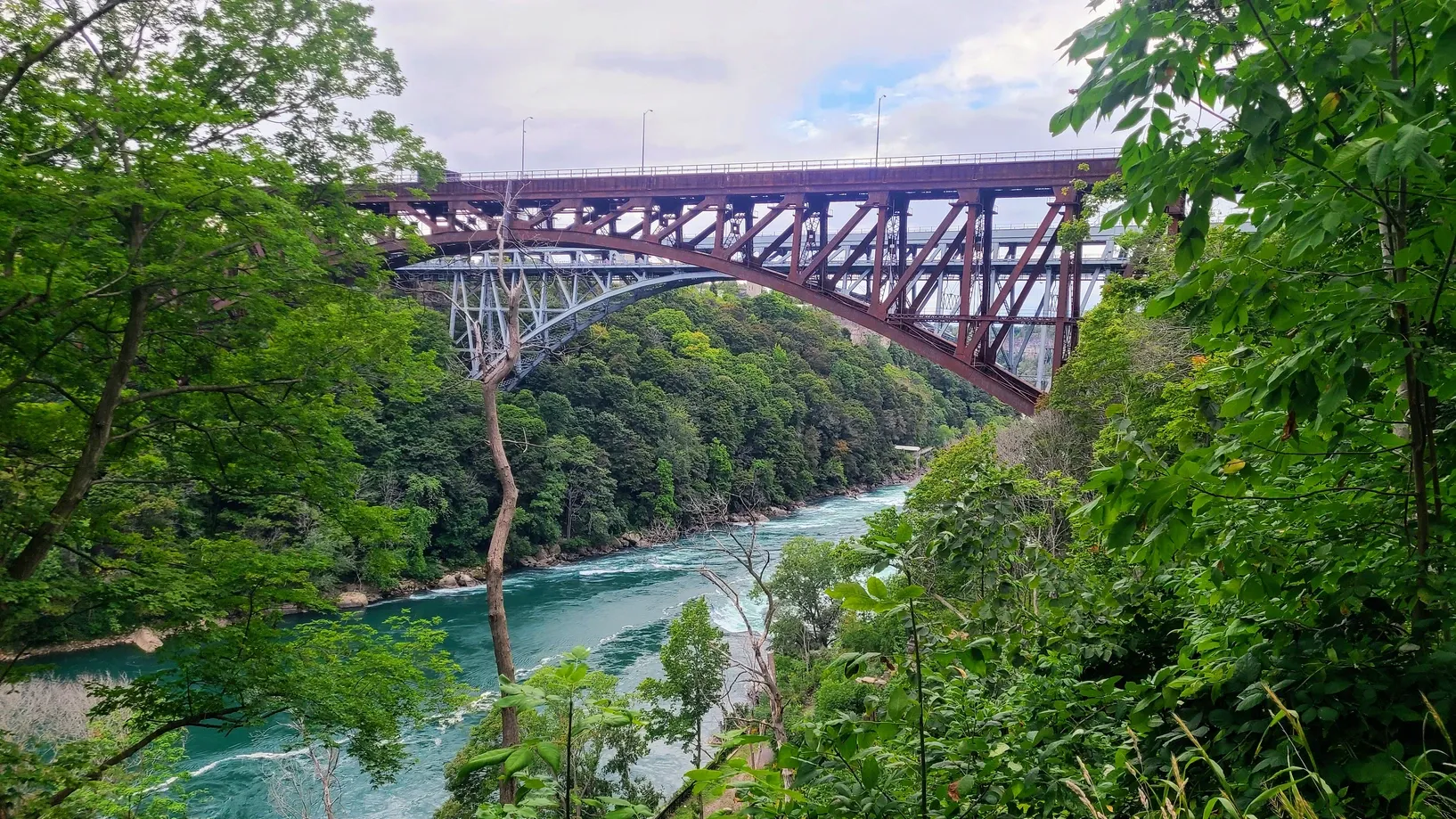
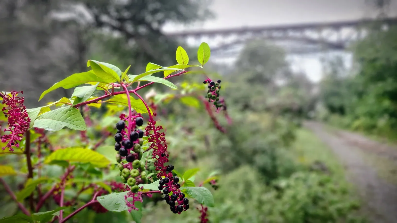
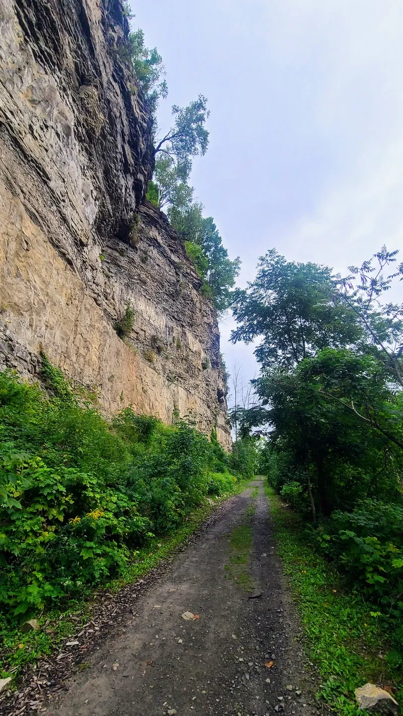
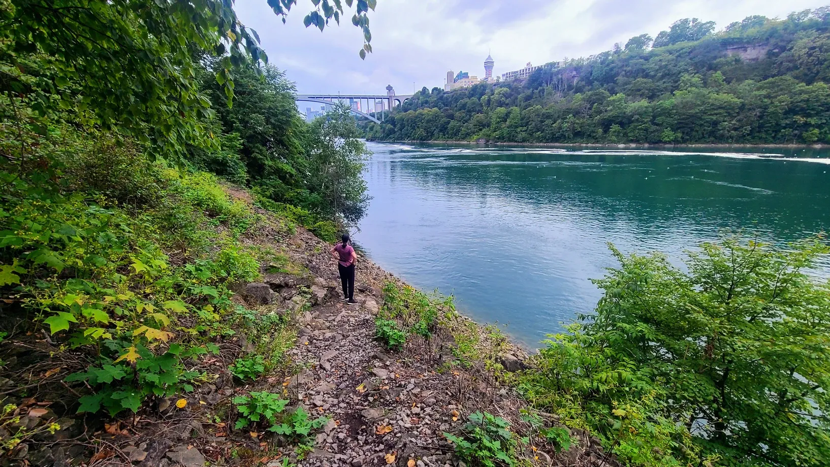
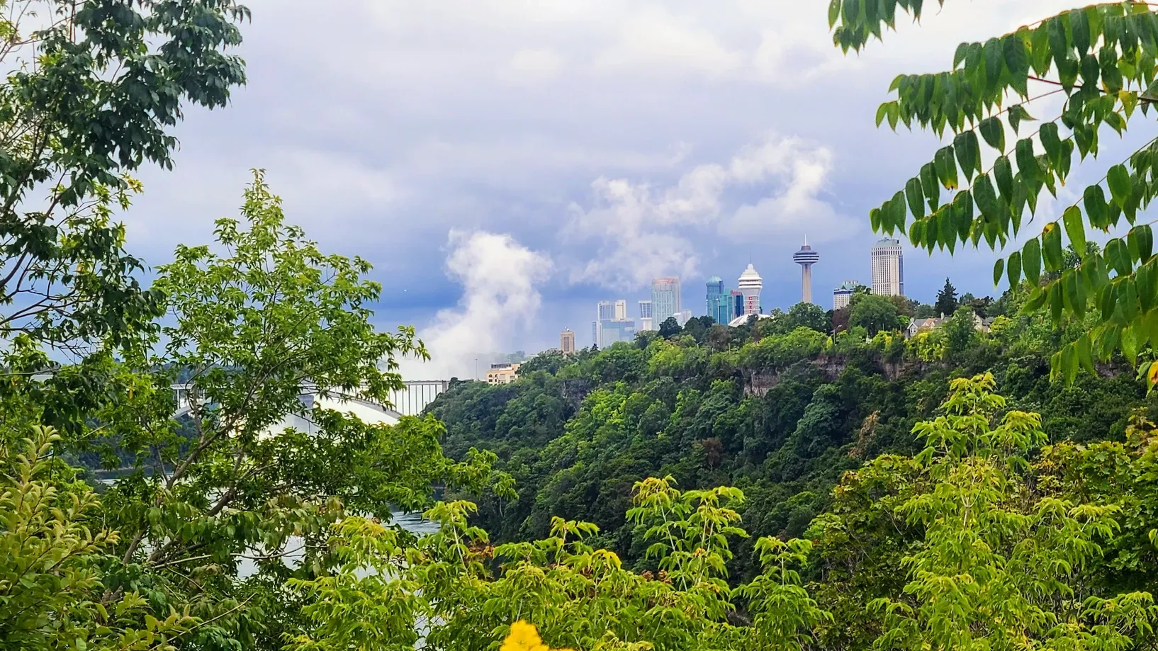
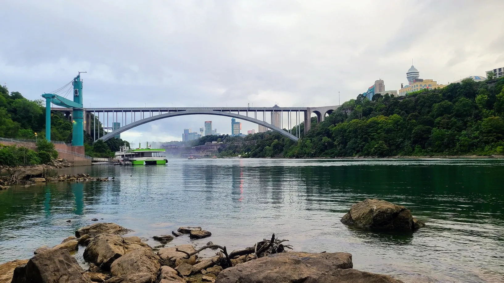
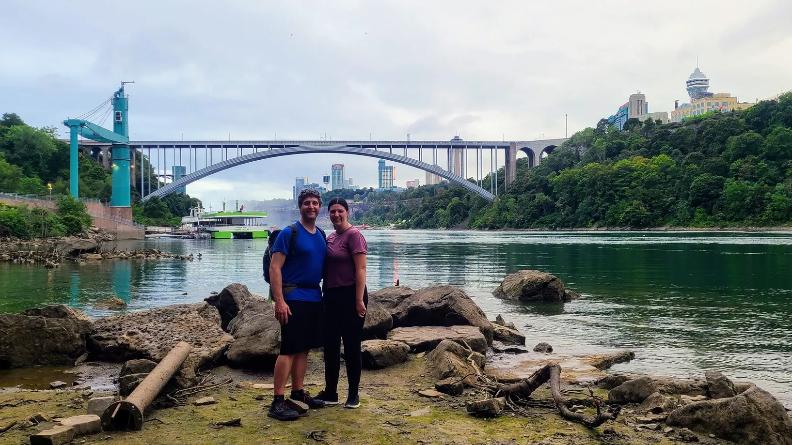
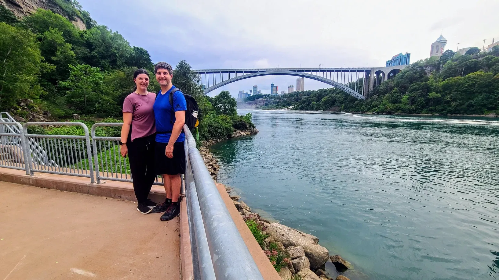
We got ourselves into the routine of doing a quick lunch hike followed by a longer after-work hike. This one was interesting. We decided to head to ArtPark, another nearby state park that has a gorge trail overlooking the river. As we drove through downtown Lewiston to get to the park, we noticed that the town center had some kind of carnival going on. Extra parking happened to be at ArtPark, with a free shuttle bringing people to and from the carnival. We couldn't just ditch our hike entirely because we were motivated for miles, but we told the shuttle drivers that we'd be back after a walk. We did a couple of short nature walks through the park and then headed over to the gorge trail. This trail traversed the rim of Niagara Gorge, at a similar height to our connecting trail from Devil's Hole to Whirlpool State Parks. The difference with this one, though, was that there was no guardrail and a whole lot of fallen rocks that we had to scramble over. Still, it wasn't a difficult hike; we just needed to watch our footing. The views were outstanding. The river and the rocky cliffsides never get old, but one of our favorite parts of this hike was getting to walk under the Lewiston-Queenston Bridge. We got to see the underside on our jet boat tour, but this was an up-close-and-personal look. I took some very twisty panoramas that were my attempt at art in the ArtPark. On our way back, the sun was starting to set behind the trees, and it cast a golden glow on the cliff rocks.
We arrived back at the parking lot and hopped the shuttle. The operator, stunned, asked us "How far did you walk?!" and we told him probably about 2.5 miles on the gorge trail, plus the little pre-hike nature walk. Not too shabby! The carnival was actually Lewiston's annual Peach Festival. It had rides, artisan tents, food, games, peach desserts, and a farm stand. An unexpected end to our evening, and something we may not have even known about had it not been for our hiking challenge.
ArtPark State Park, 2.9 miles
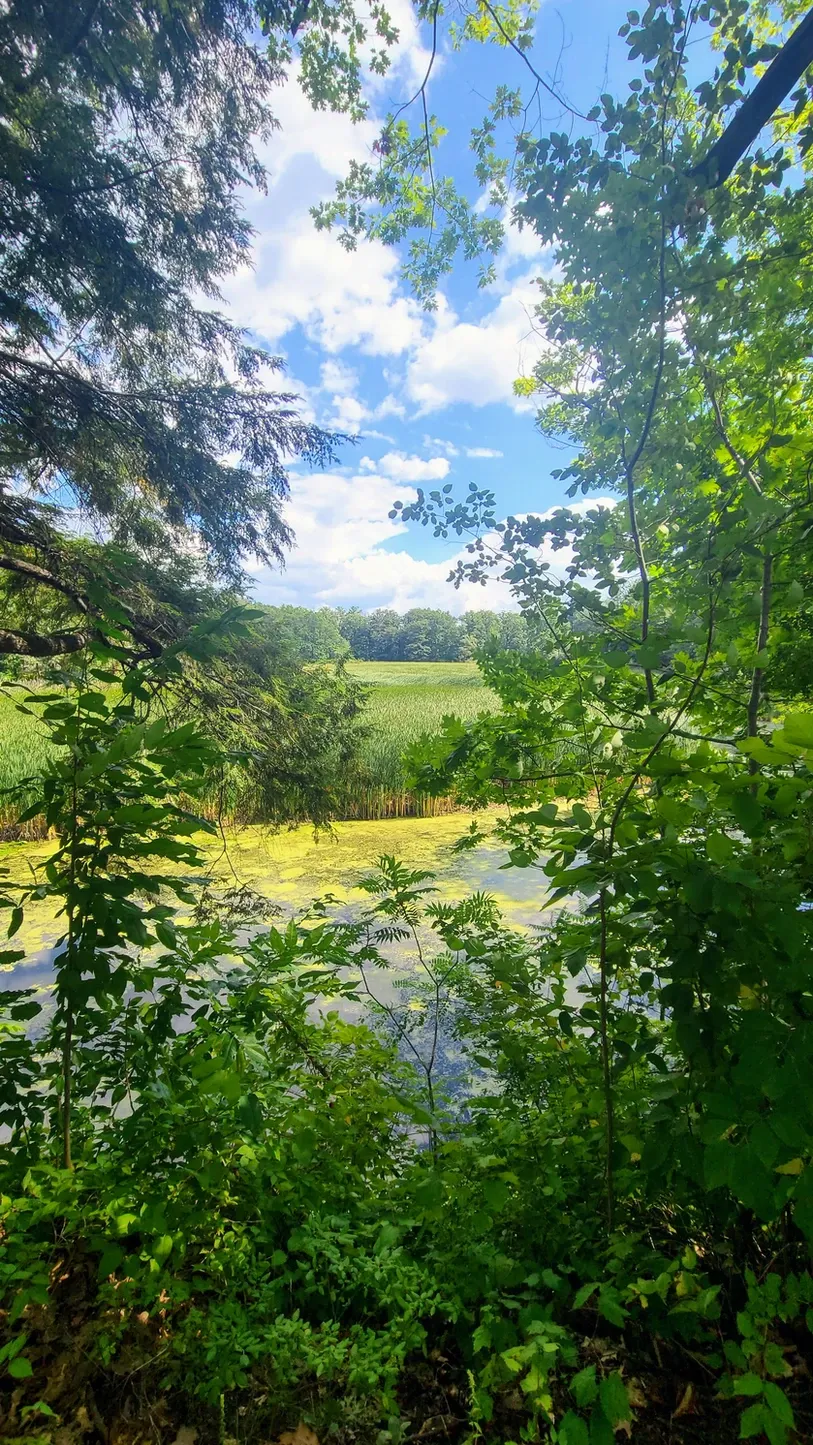
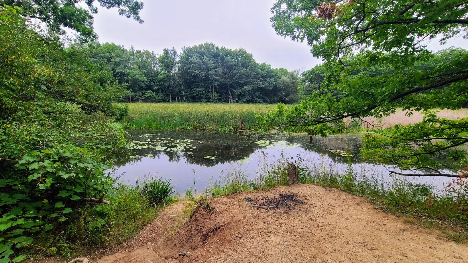
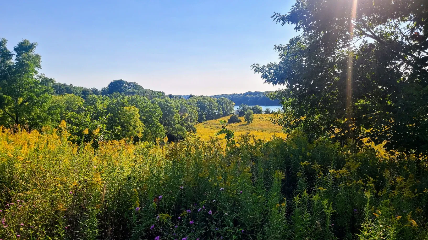
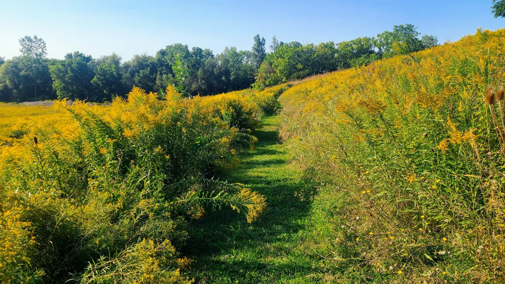
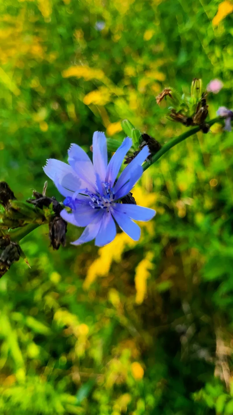
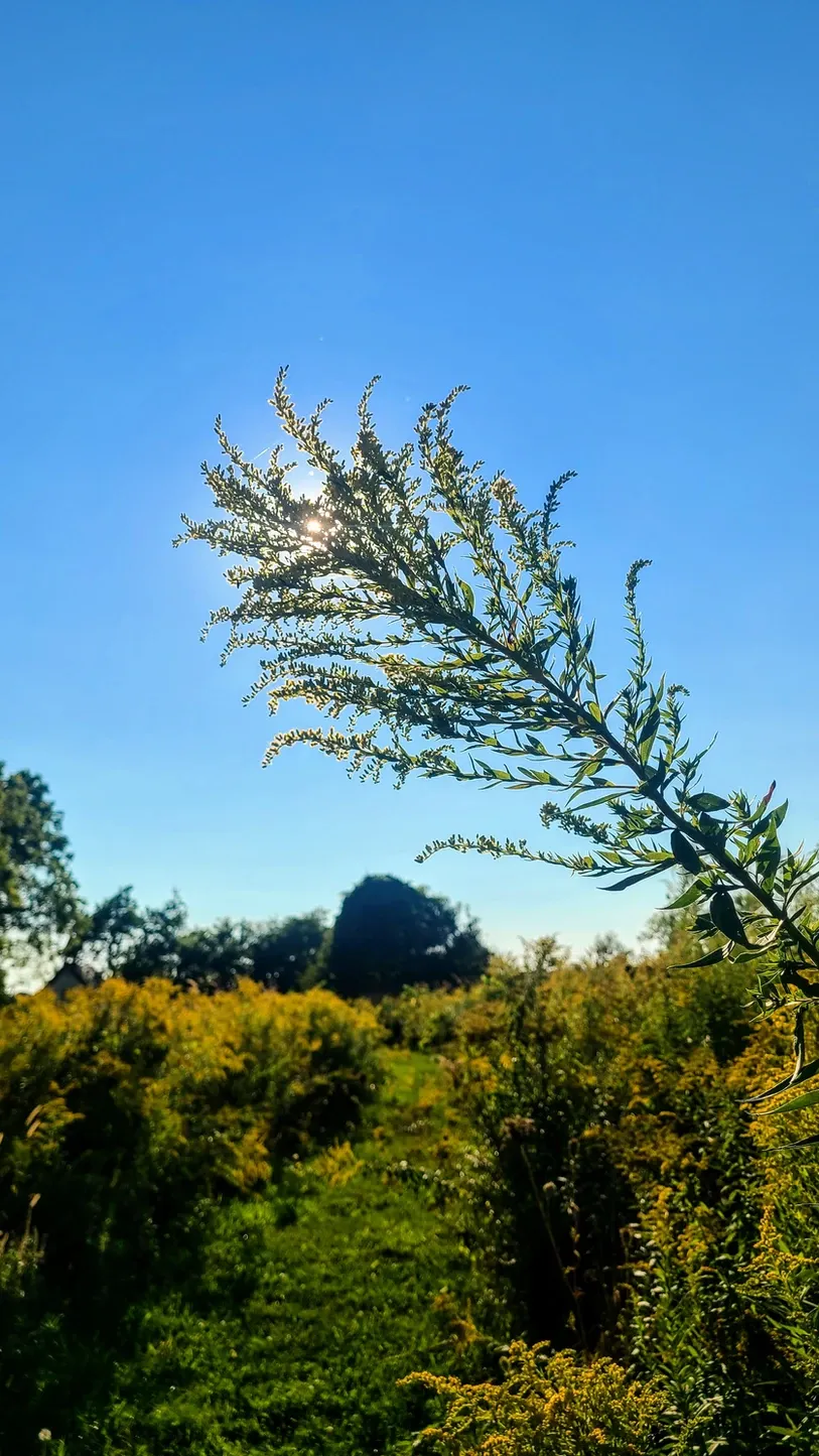
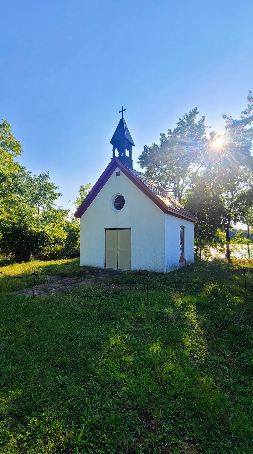
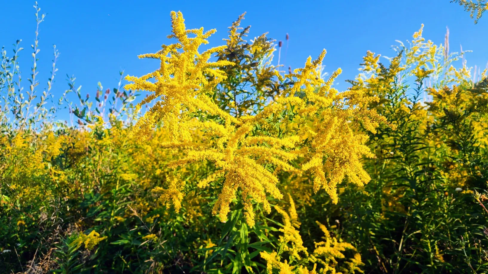
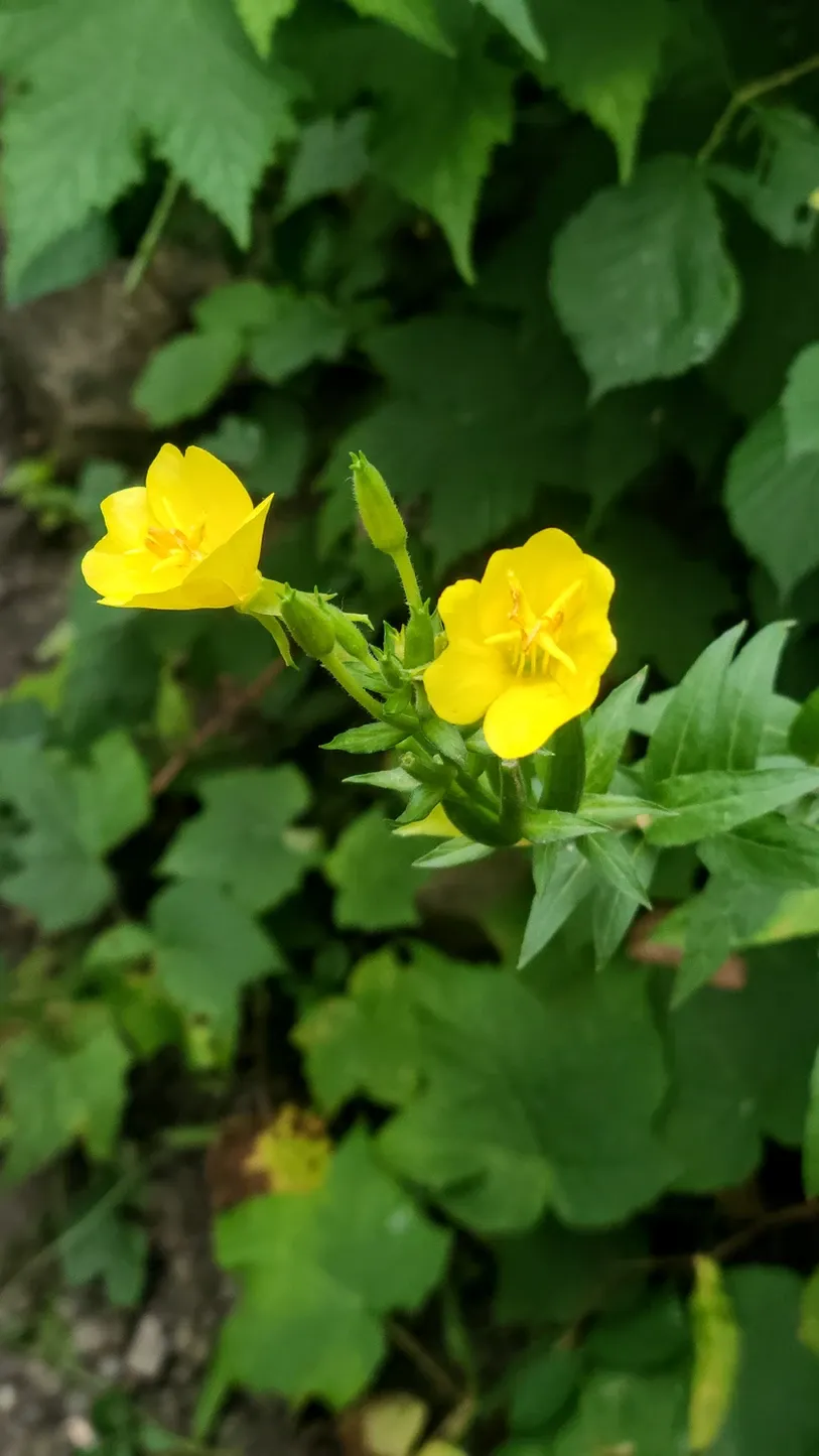
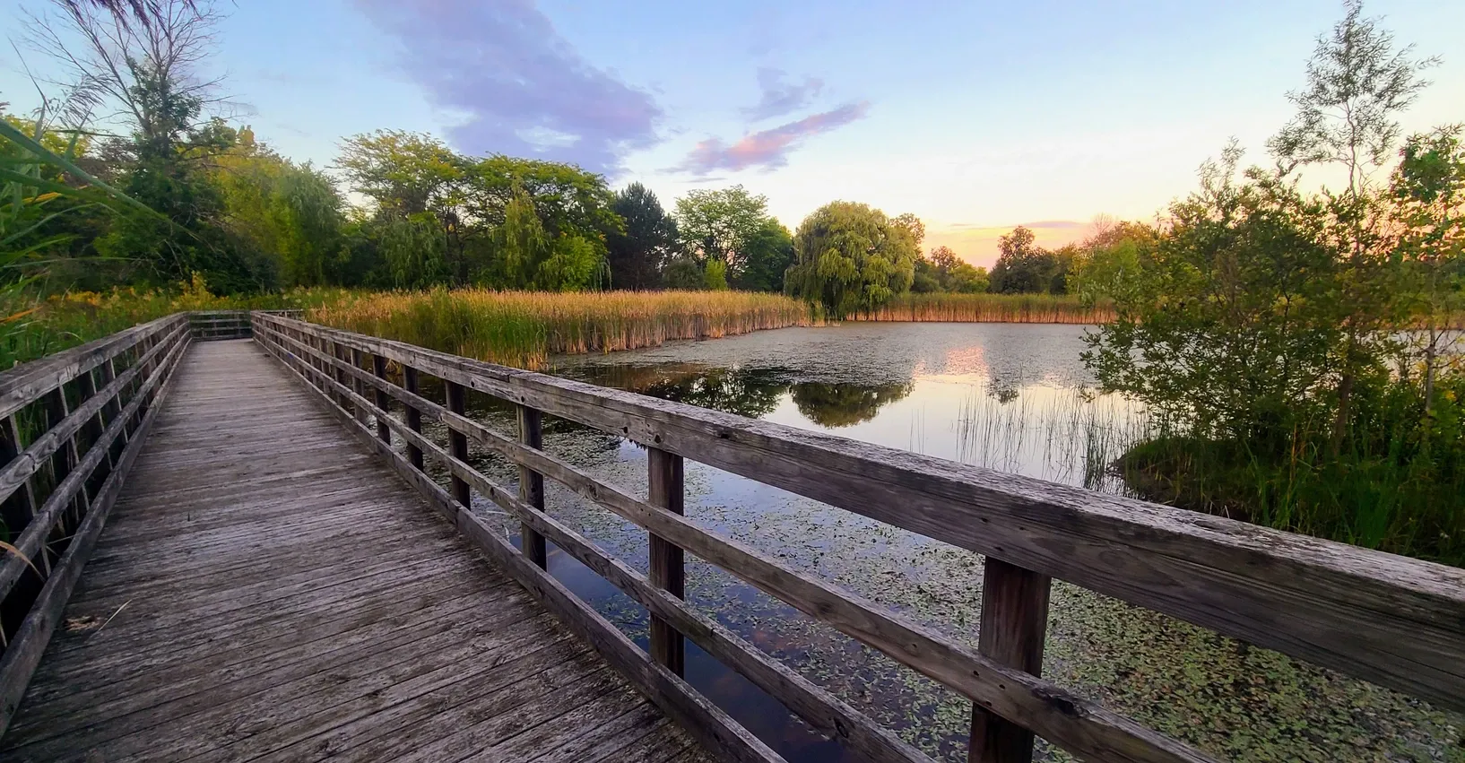
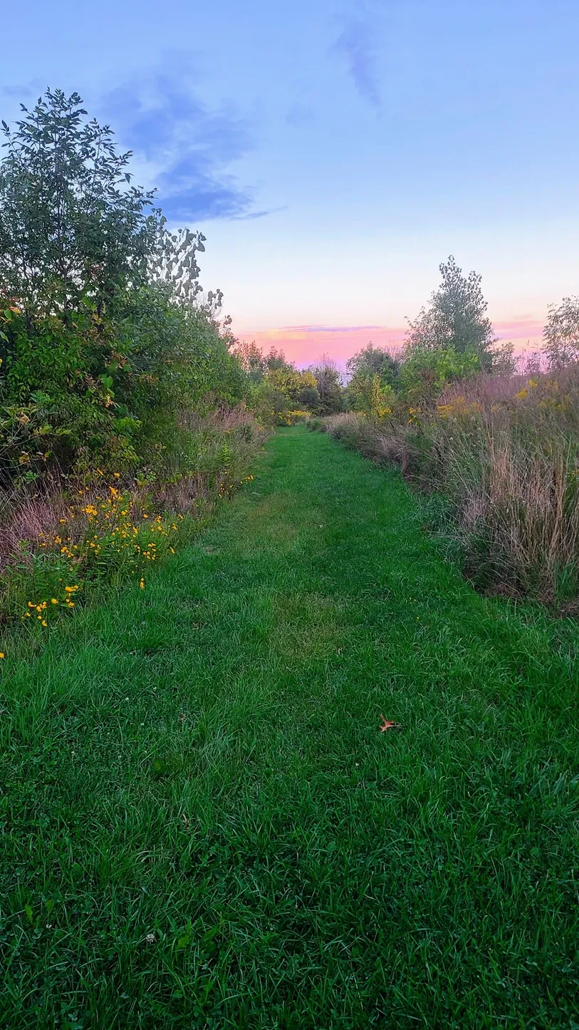
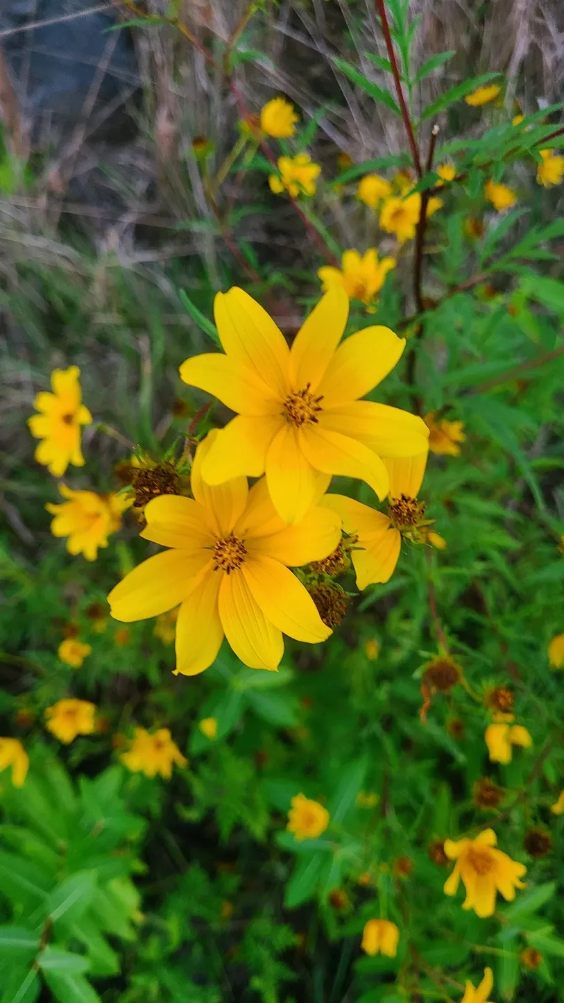
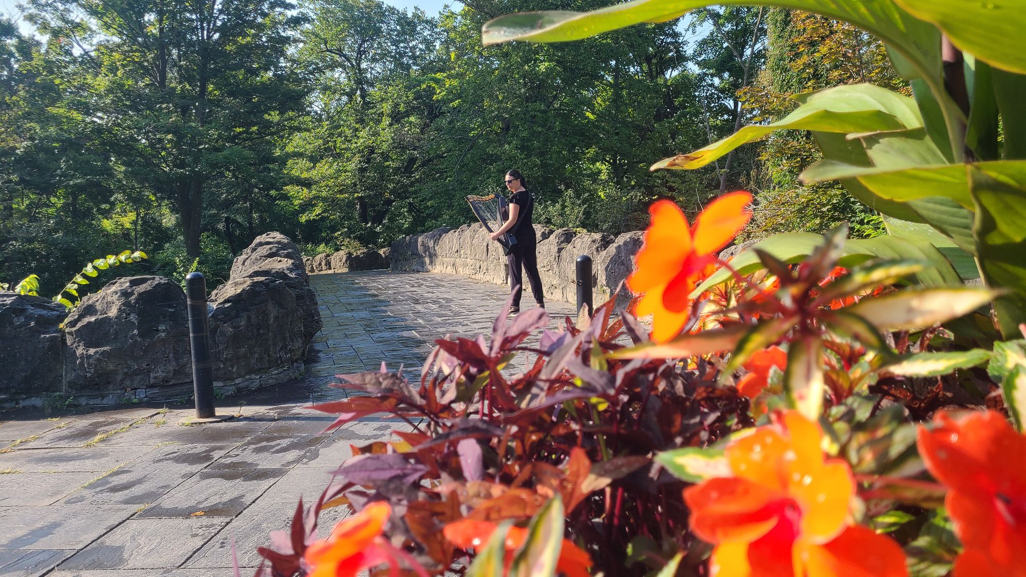
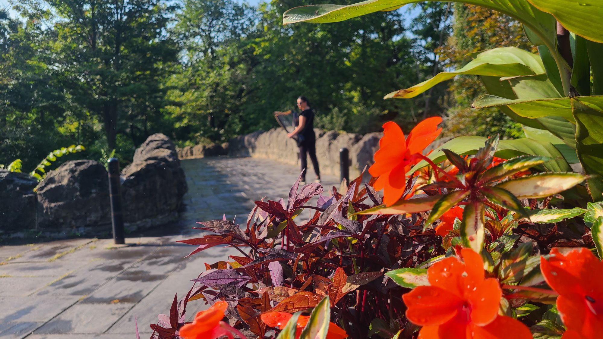
Our most fragrant hike was at Stella Niagara Preserve, a field with mowed grassy trails weaving throughout. We read that the trail was a .9 mile loop, so we weren't expecting much, but we had a great time. The loop itself might be less than a mile, but all the interconnecting trails allowed us to repeat some parts. We walked among the goldenrods, watching the bees and butterflies feed on their late summer nectar. We even saw a fox! The most extraordinary thing about Stella Niagara is its protective habitat for these species and so many more. Privately owned by the Sisters of St. Francis, the preserve is home to shrines and chapel - a tiny relic with more than spiritual significance. This little church once survived an ice jam that destroyed several other buildings along the Niagara River. Small but mighty isn't just descriptive of the river itself, but of this beautiful little building. The preserve is a designated National Peace Site, and walking the field, we couldn't help but feel at peace ourselves. A few days after the hike, I returned with my harp to record a peaceful hymn video in these inspirational surroundings.
Stella Niagara Preserve, 1.3 miles
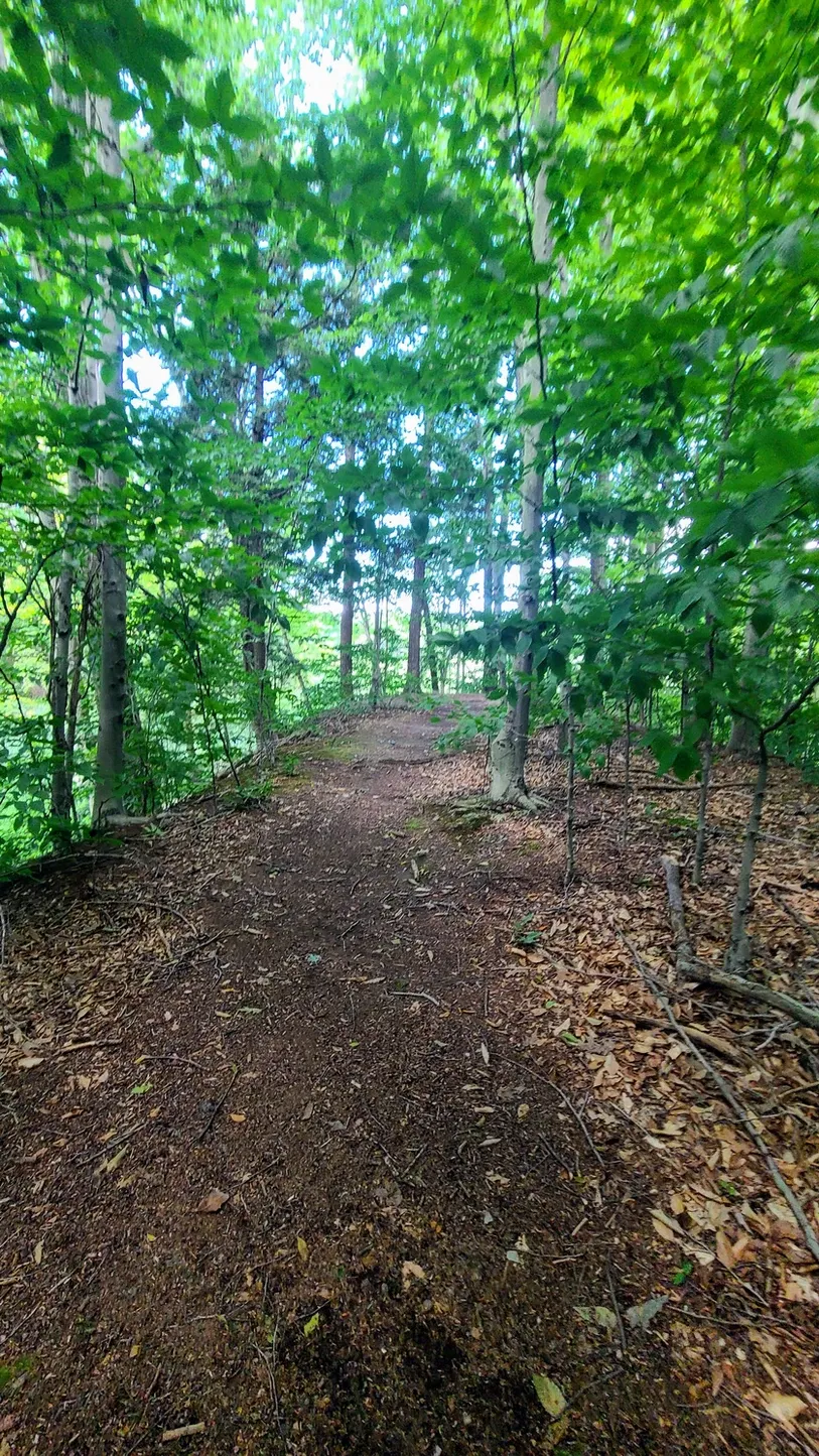
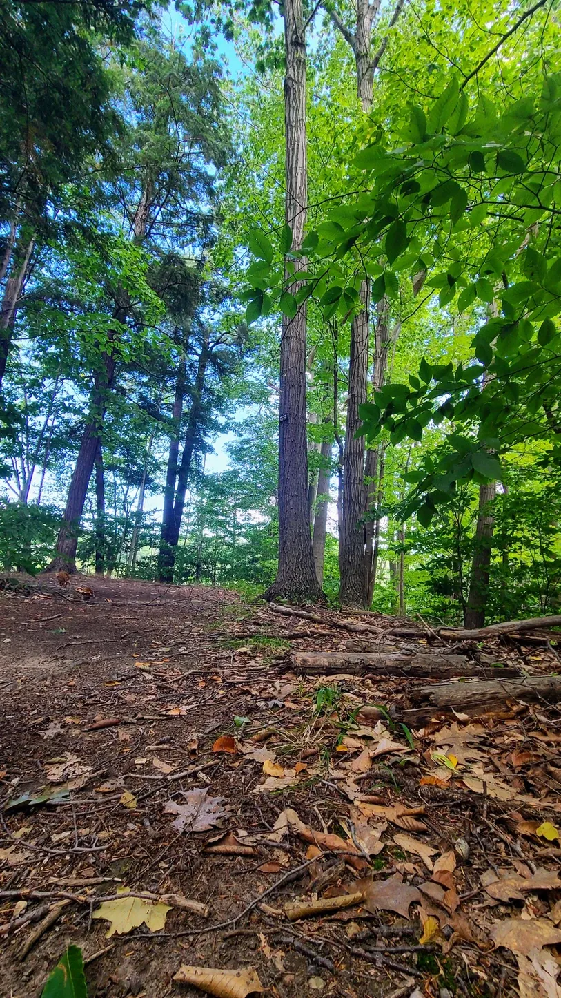
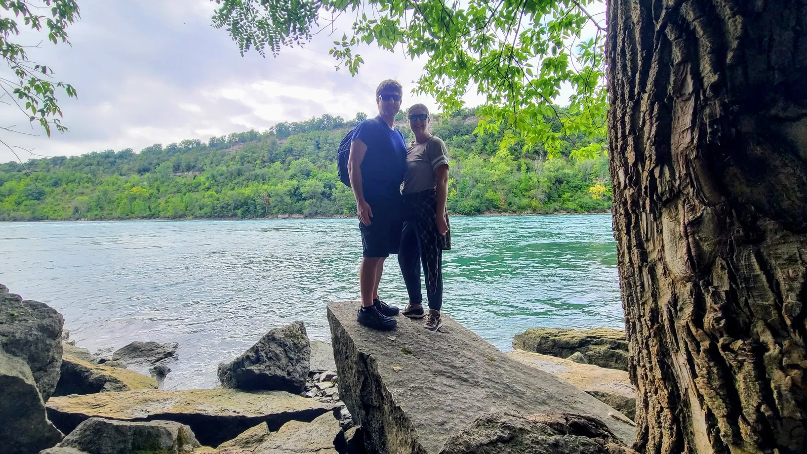
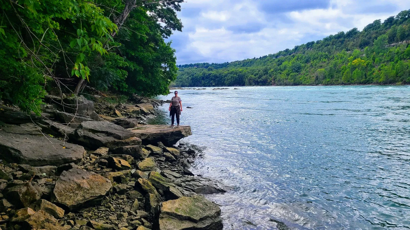
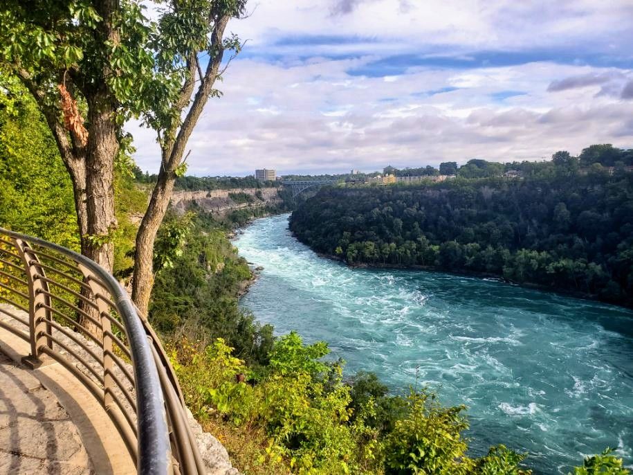
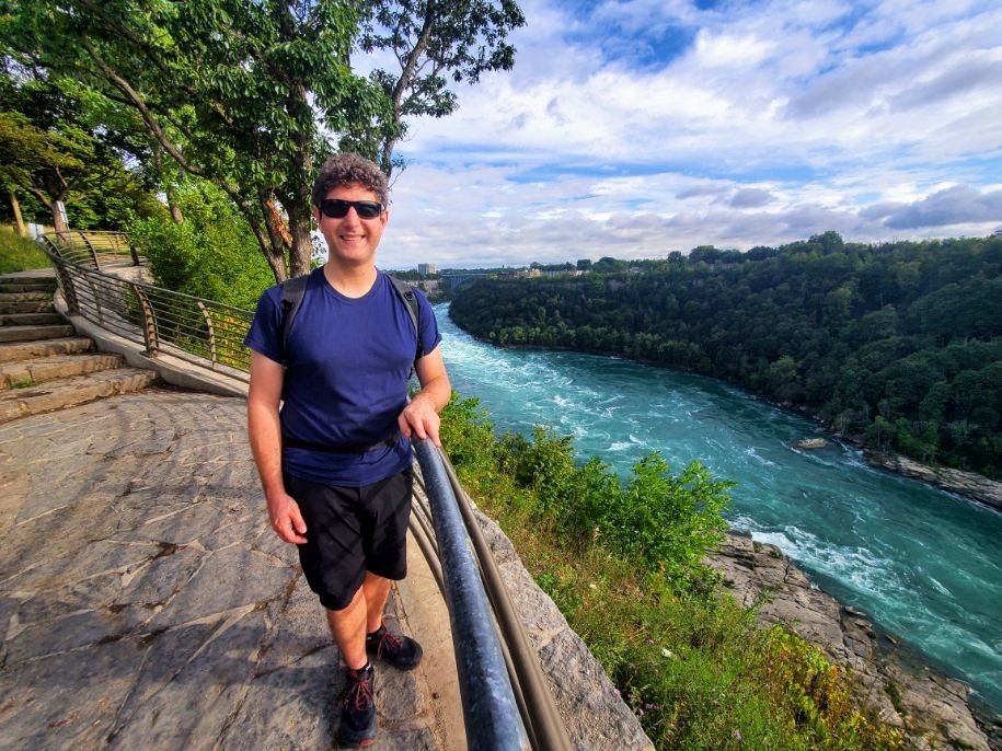
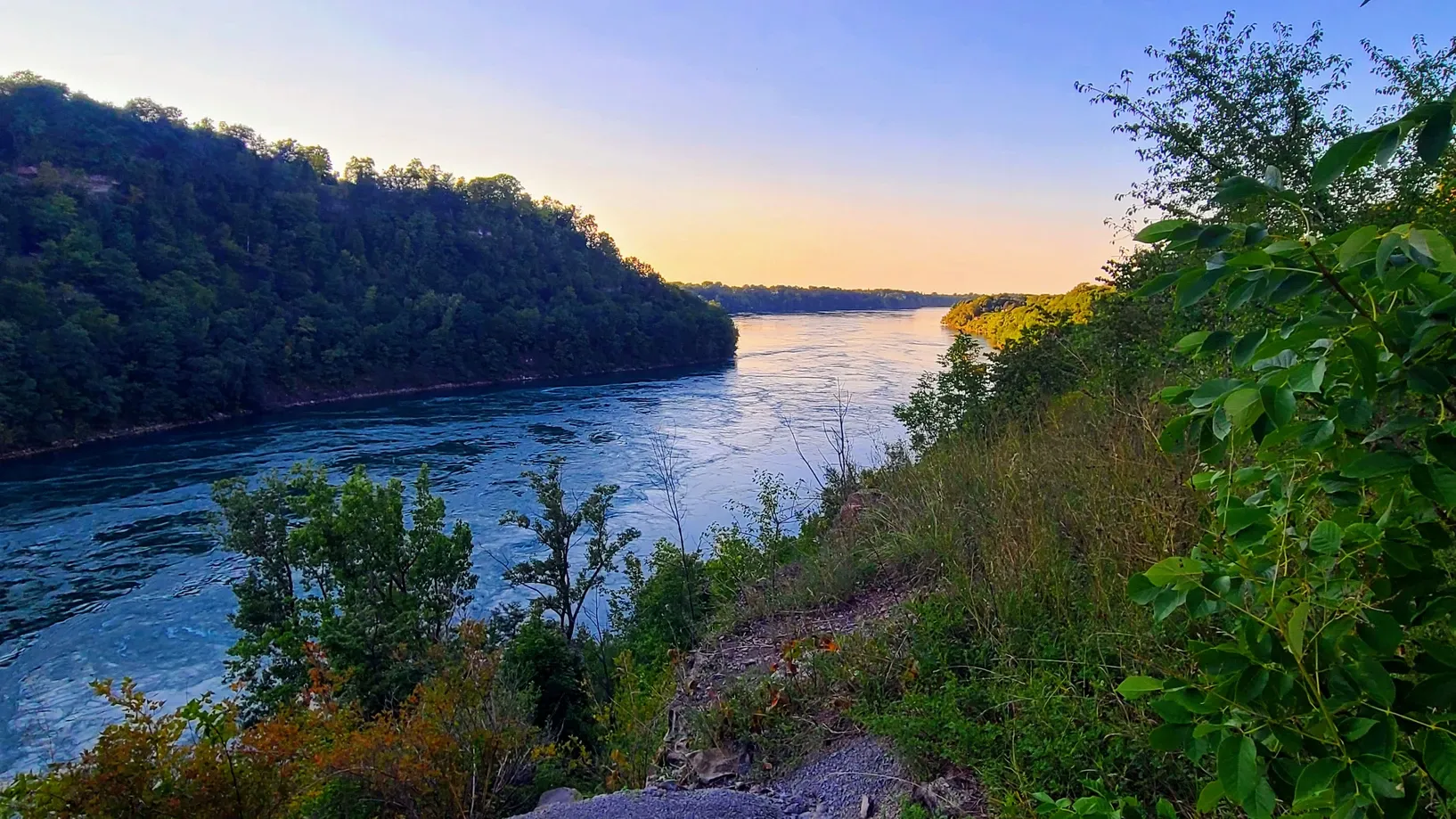
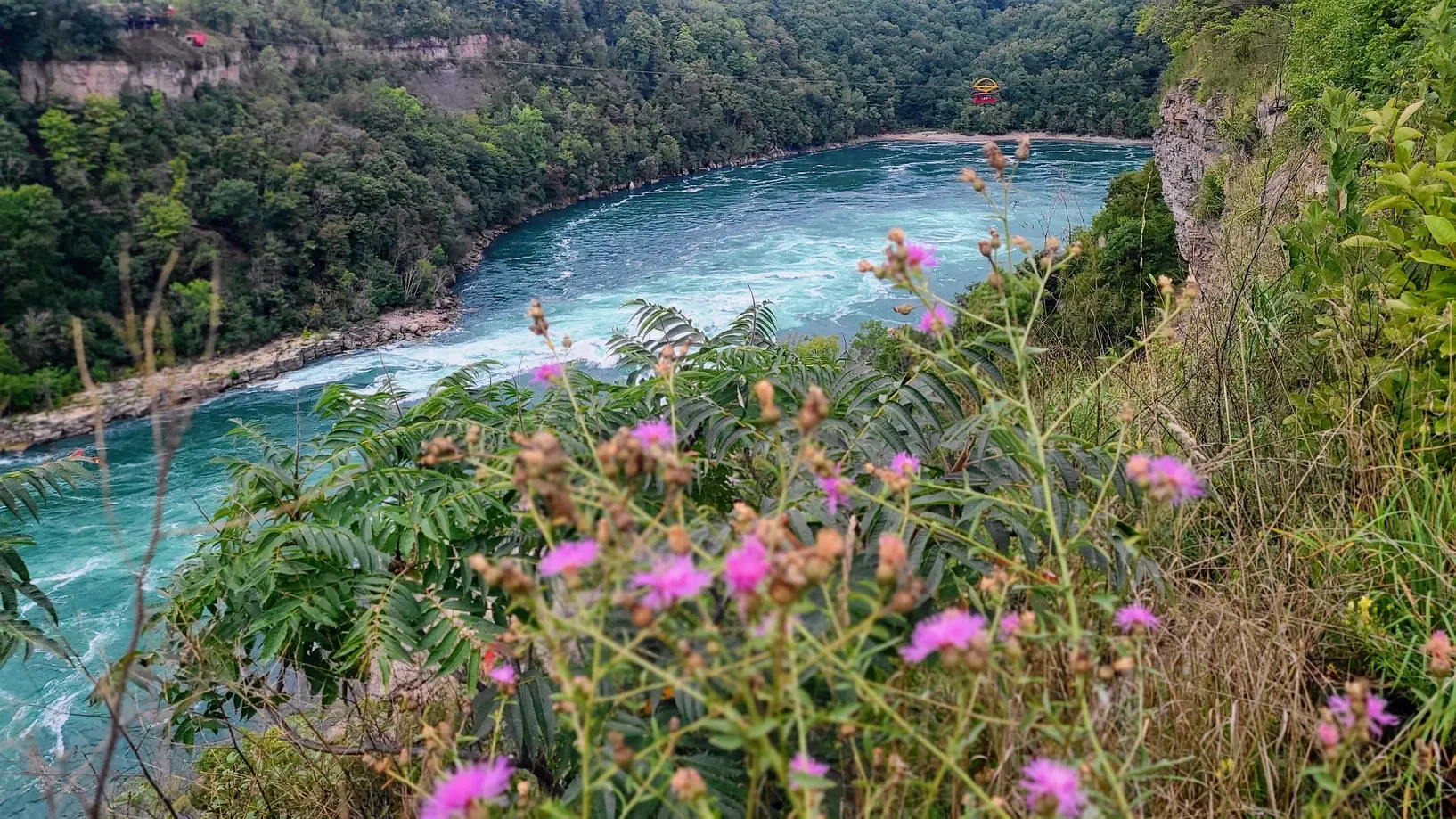
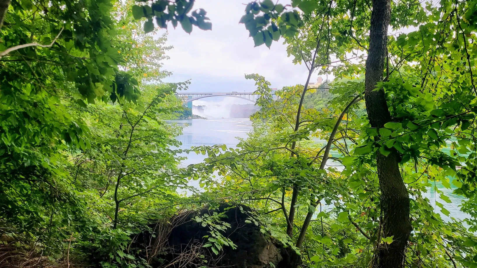
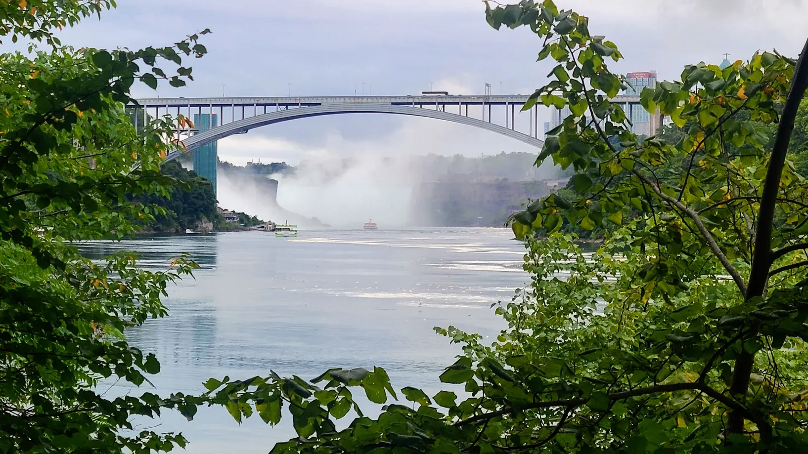
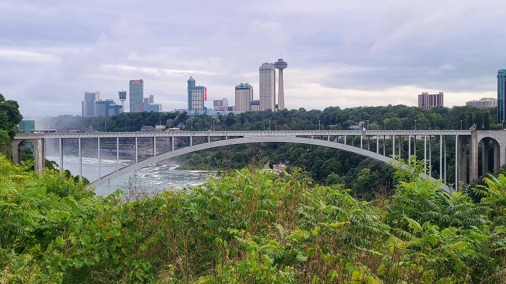
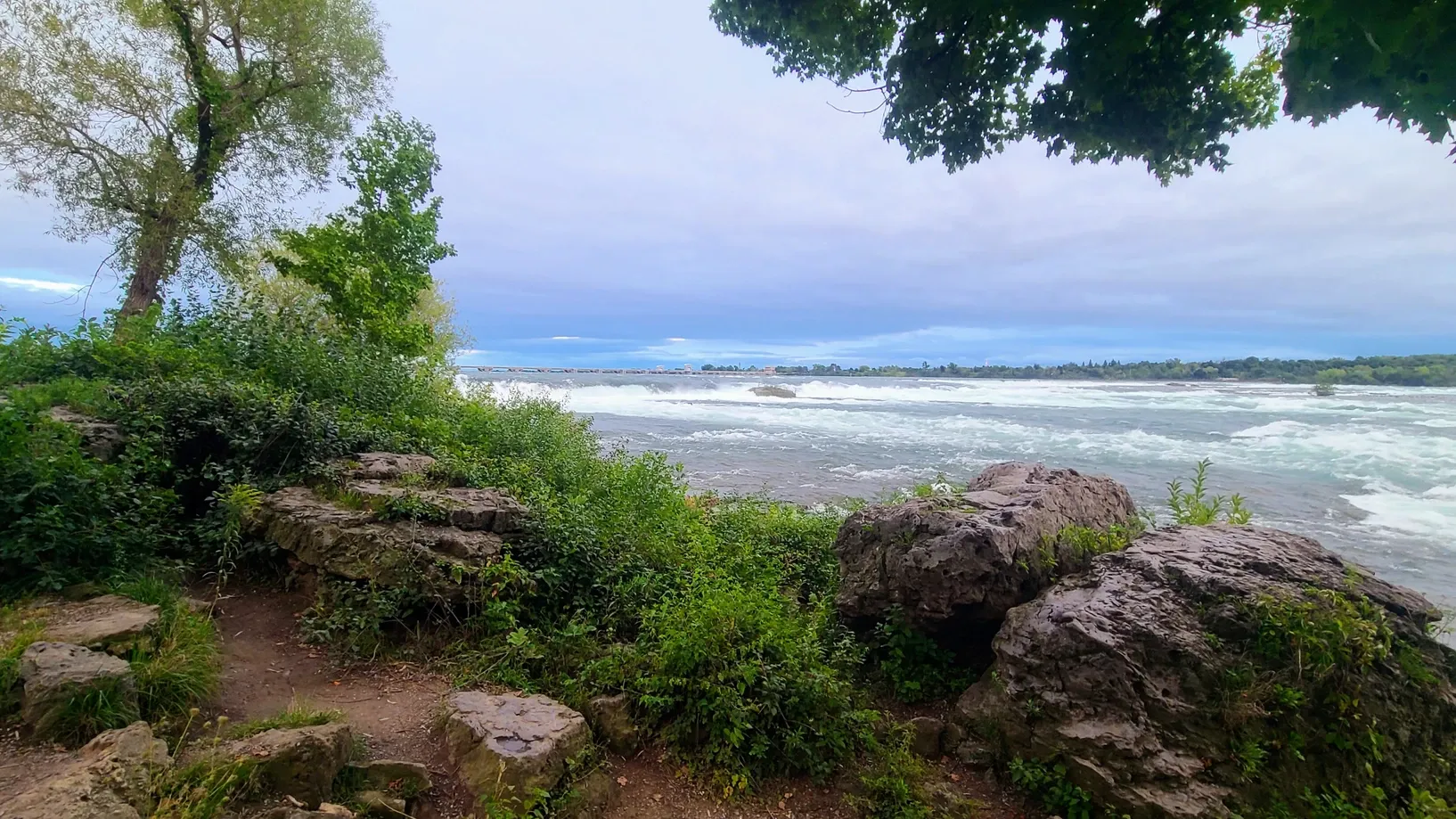
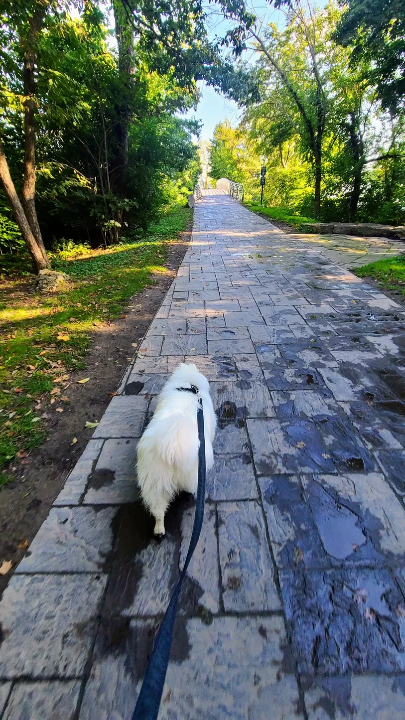
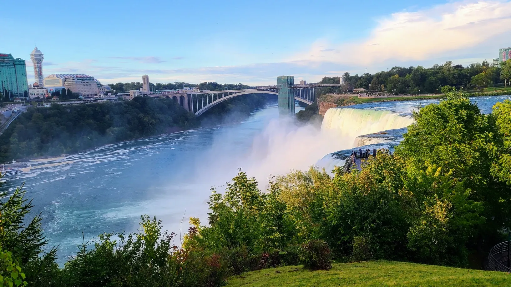
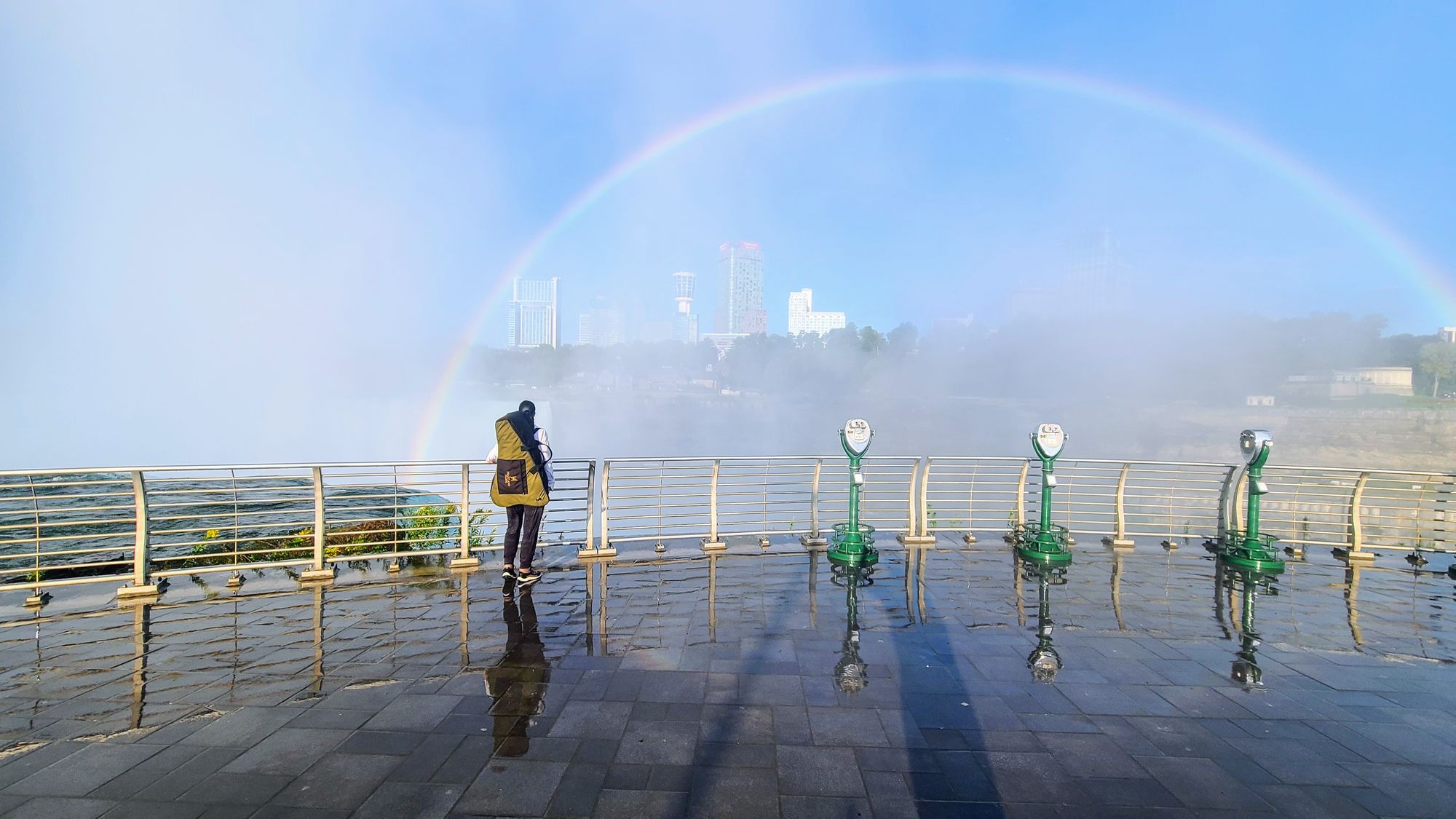
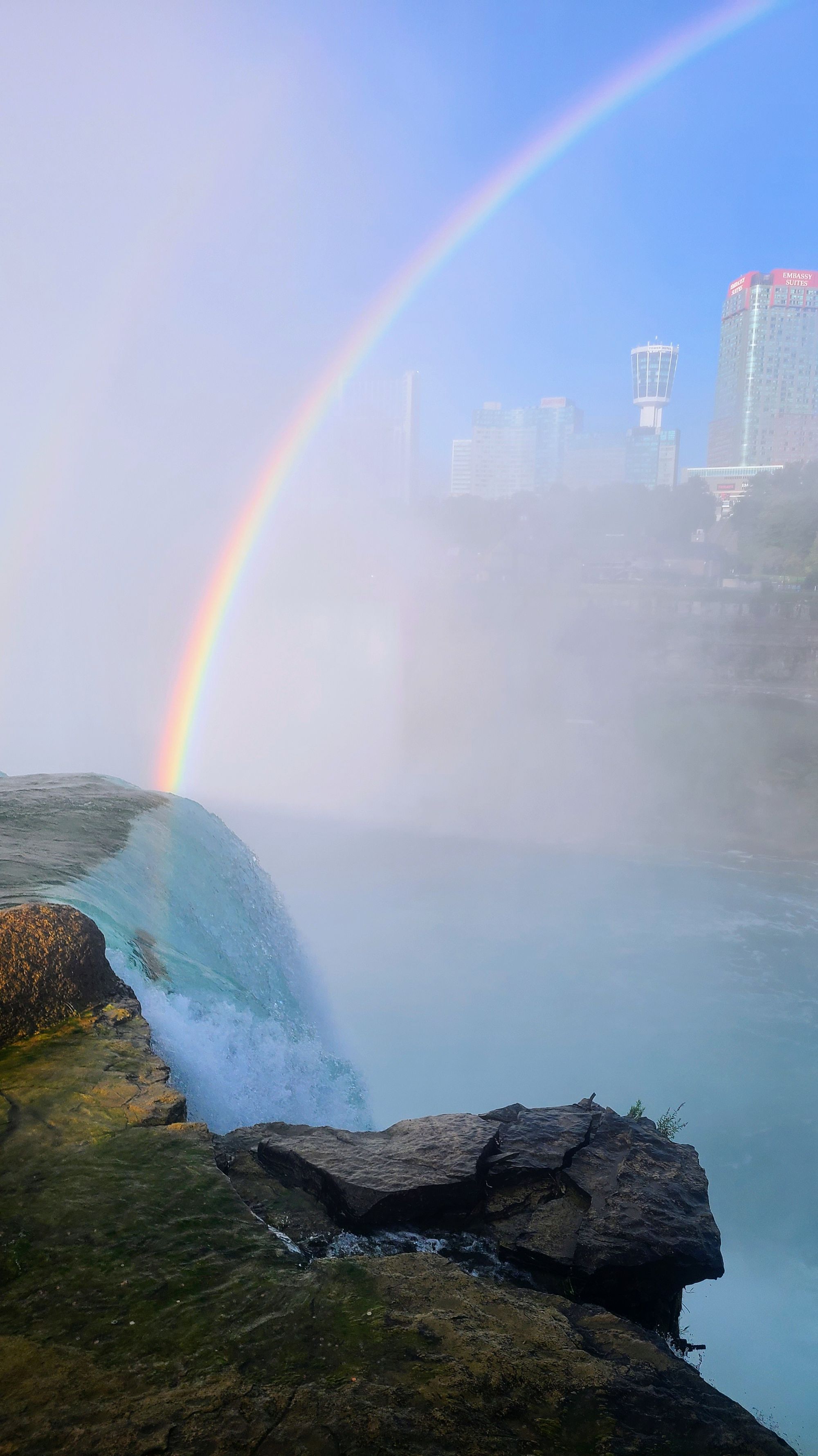
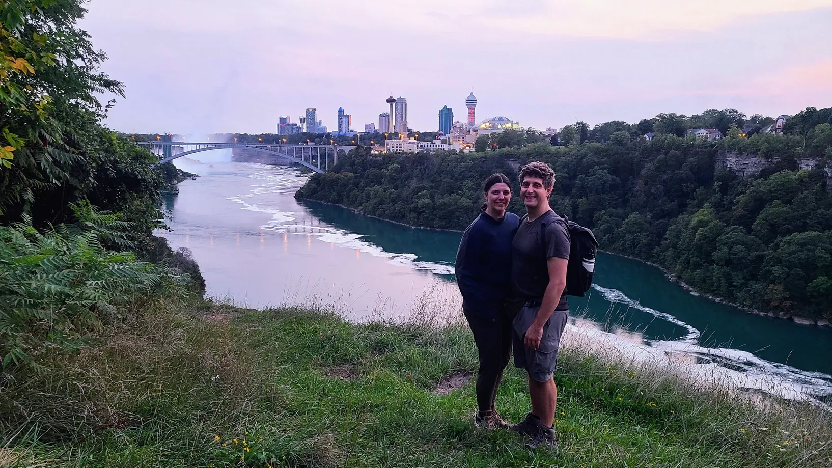
The rain moved in as we rounded our final week in Niagara, but we still had miles to go. We patiently waited out the weekend rain and headed on a late afternoon hike in the drizzle and clouds. We weren't sure how much we would accomplish because, as you can imagine, narrow, rocky rim trails with 300-foot drops aren't the smartest hikes to traverse after rainfall. So we headed back to the river with plans to only do trails away from the drops. Turns out there was a lot to do! We began at Whirlpool State Park with plans to head south, since we had already done the northern trail between Whirlpool and Devil's Hole. This would bring us to the Falls, if we wanted to walk that far. We switched trails a few times and found ourselves mainly on the American Falls Trail, a narrow rim trail that didn't have the notorious drops off to the side, but did have some great views. As we approached the Falls, we caught more and more glimpses of the mist, Rainbow Bridge, and Niagara Ontario across the way. We had moments where we were hundreds of feet above the river, and others we were right alongside it. Some parts of the trail were flat, while others were filled with rock scrambles and even more stairs (not 426 thankfully, but a significant amount nonetheless).
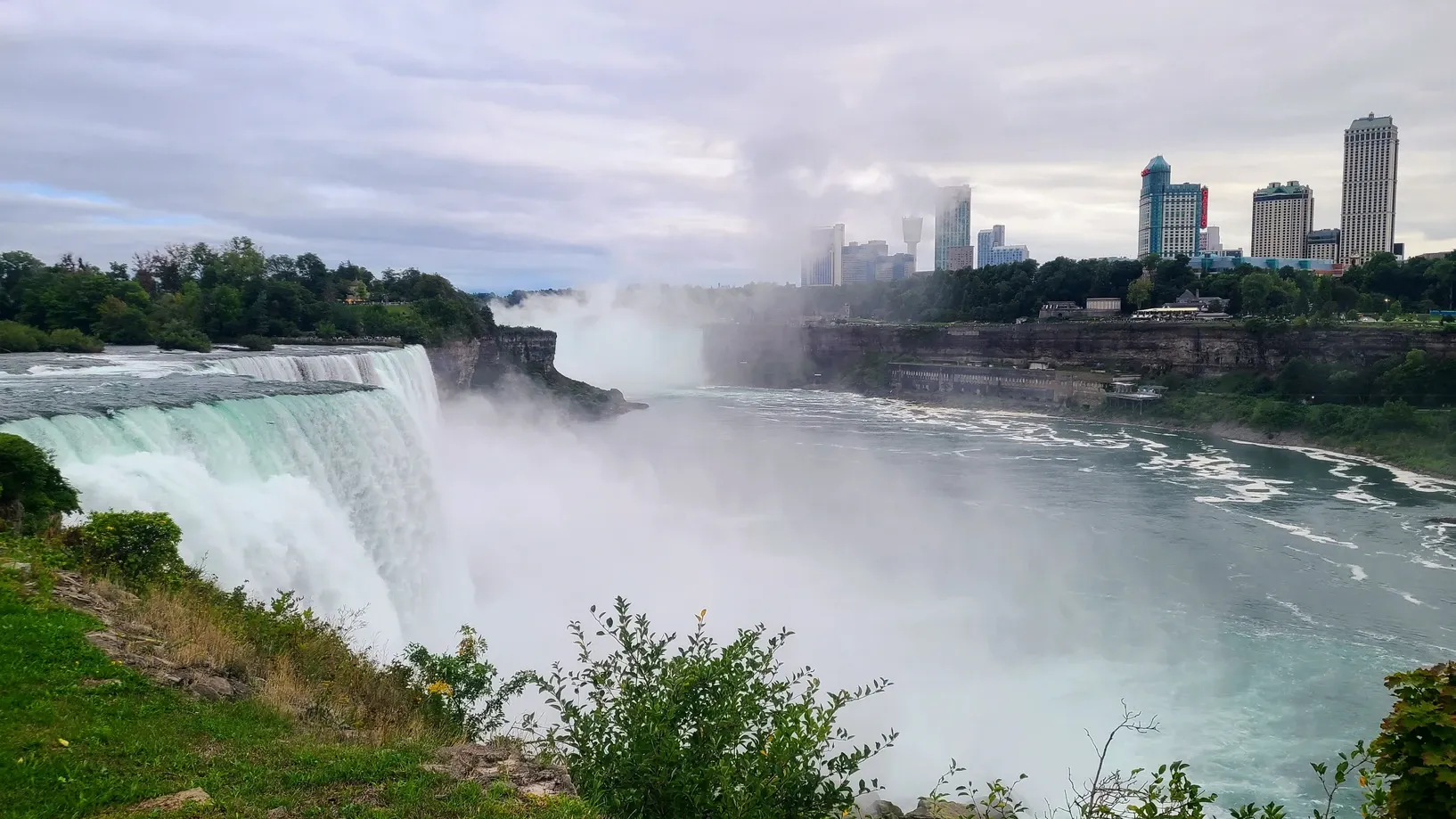
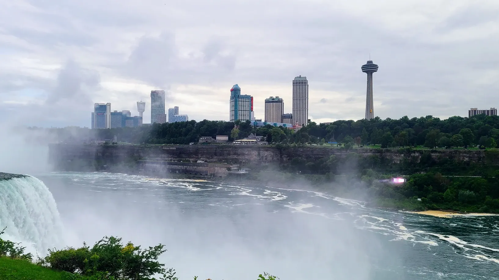
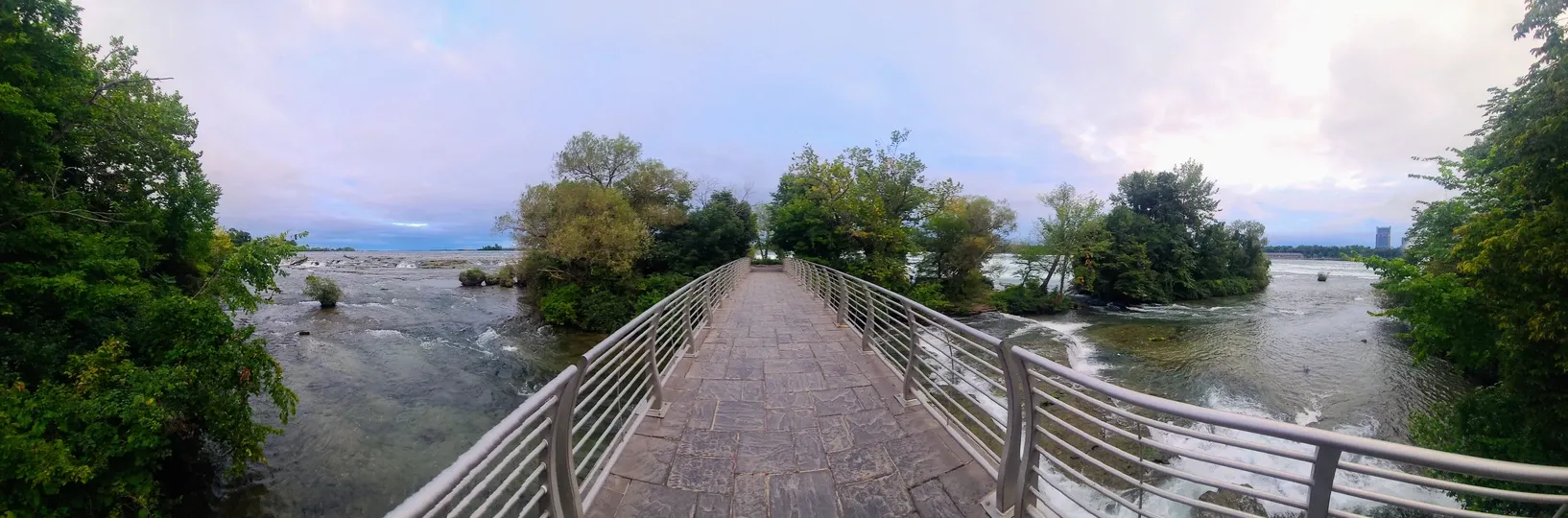
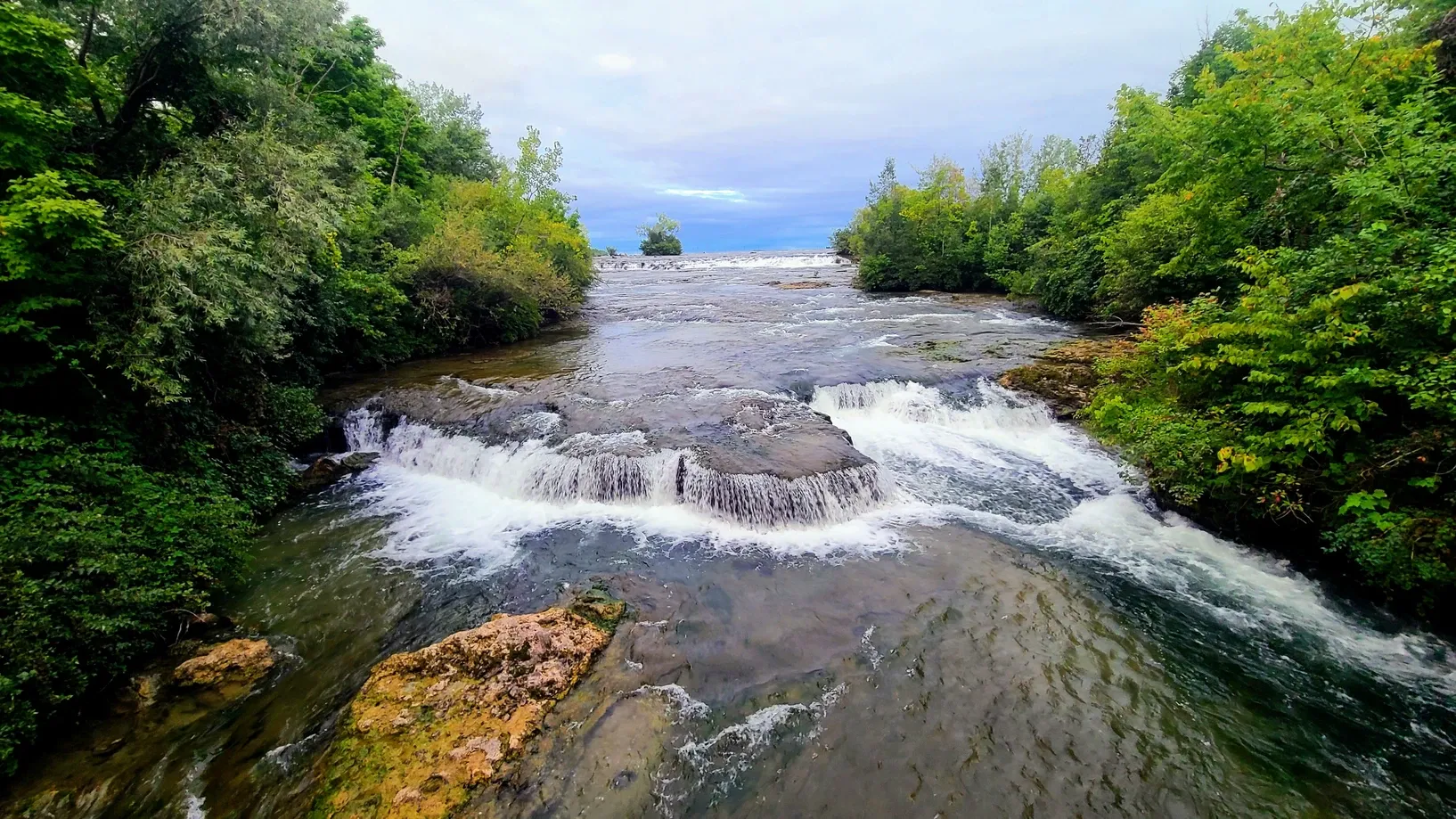
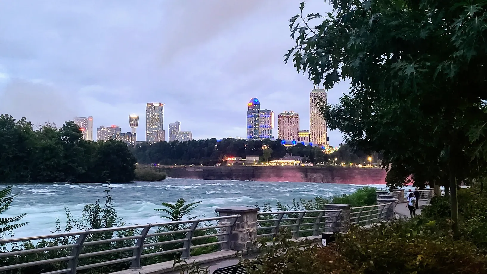
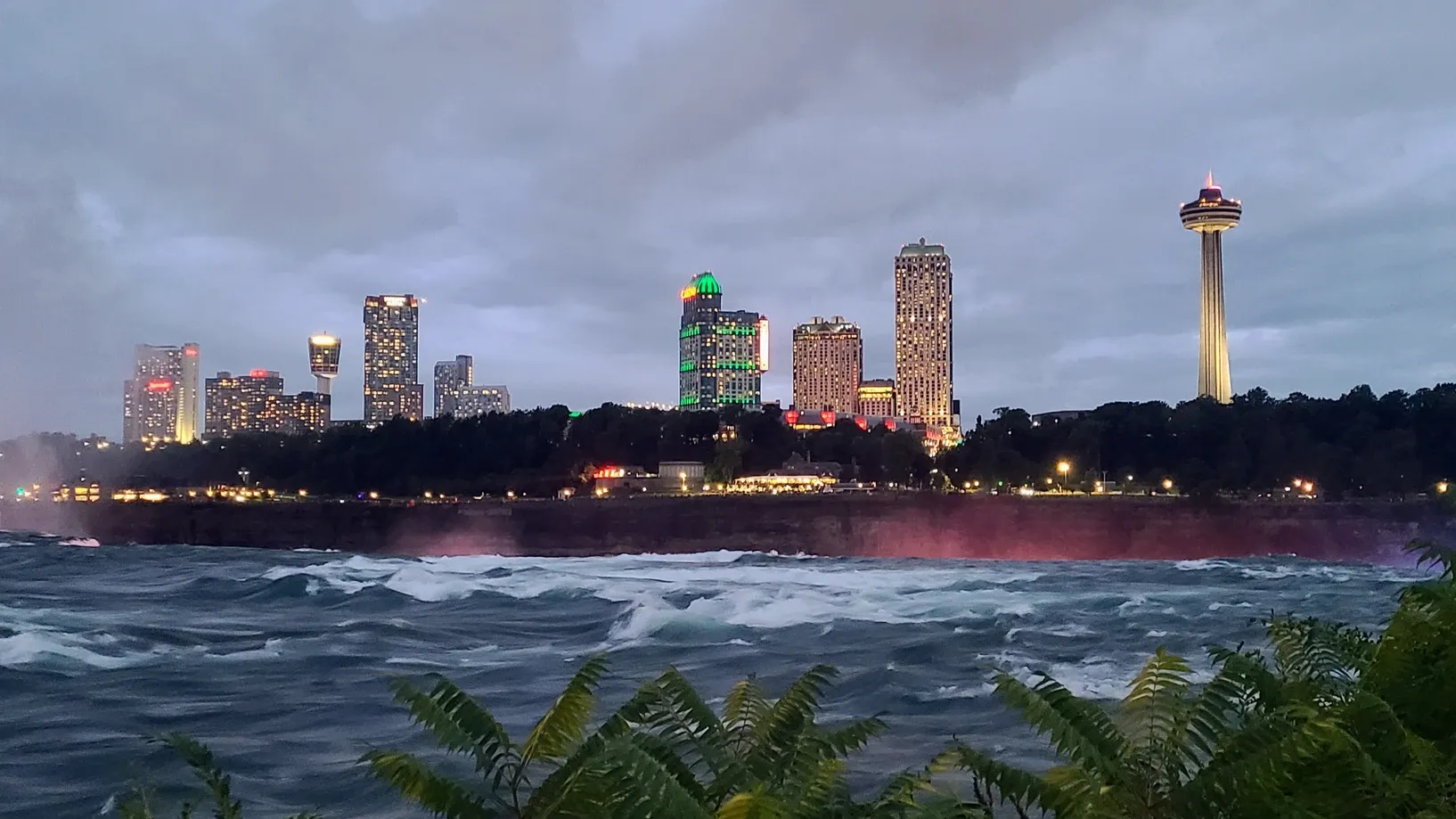
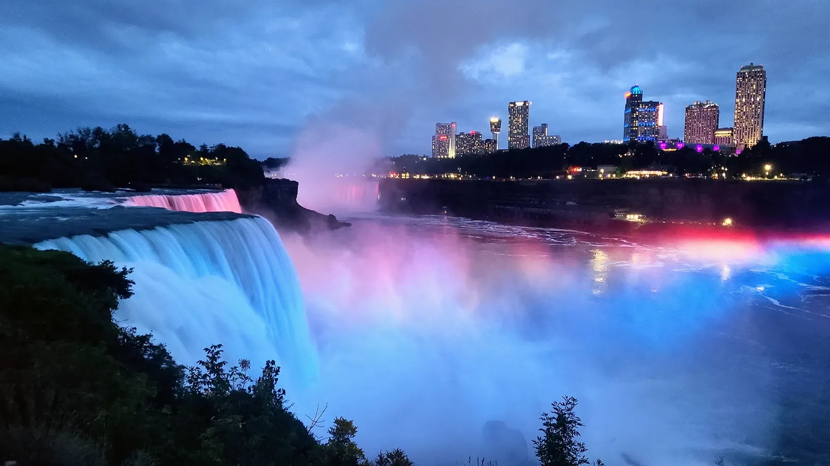
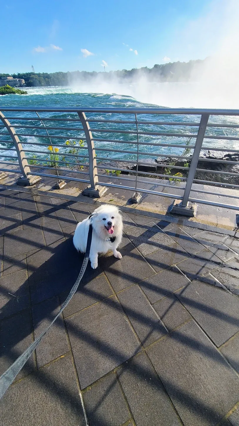
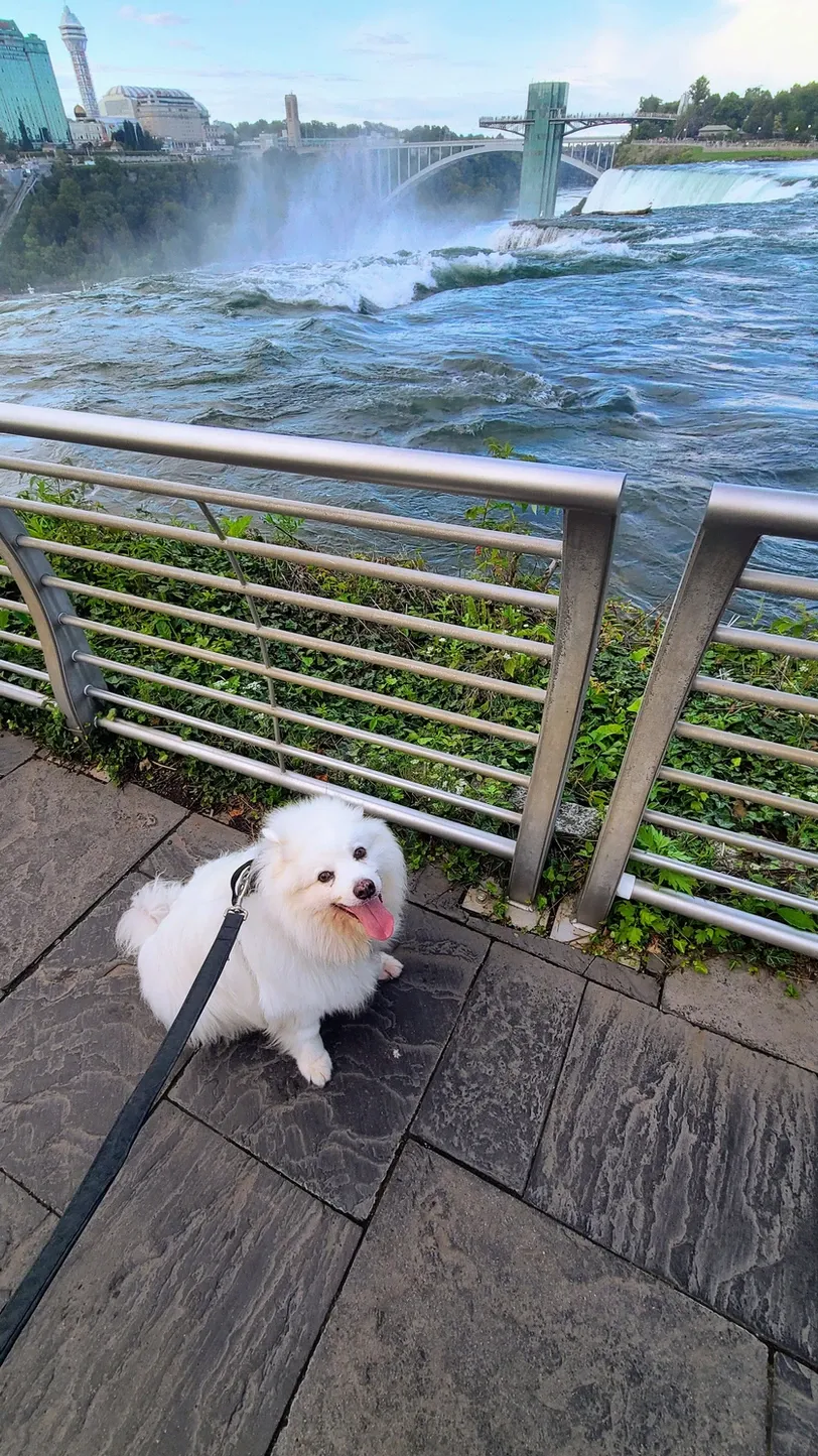
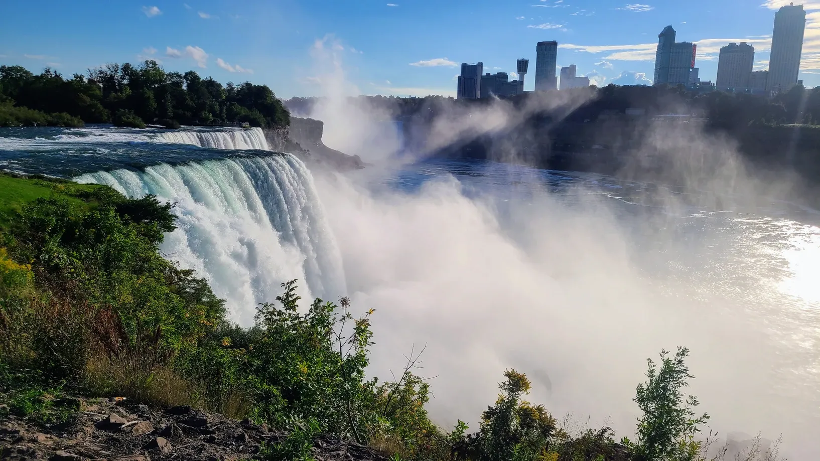
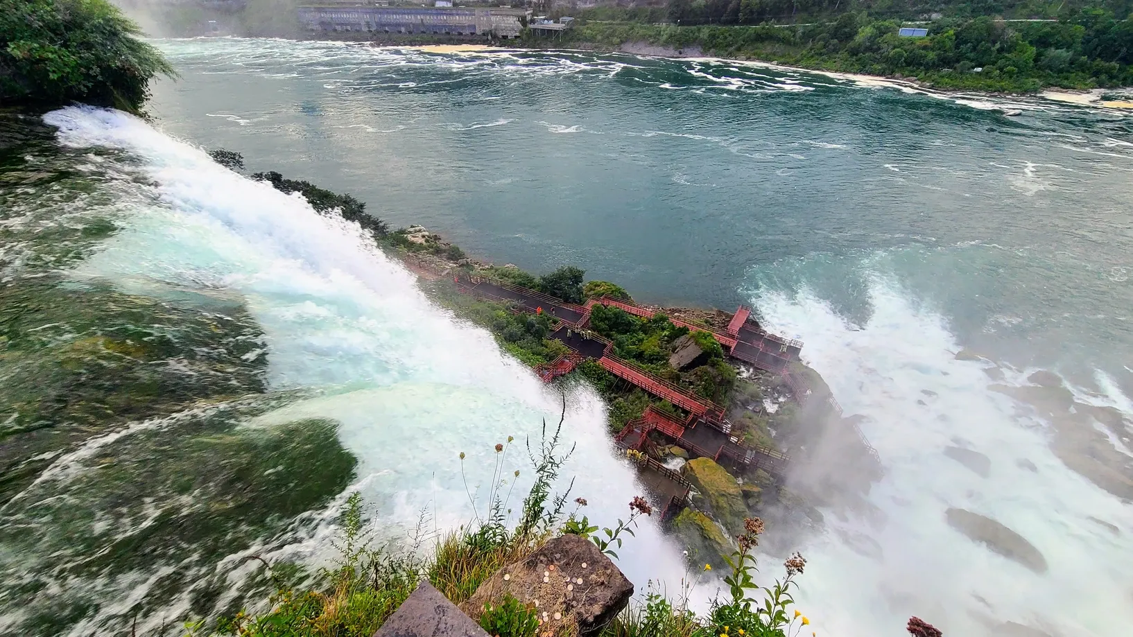
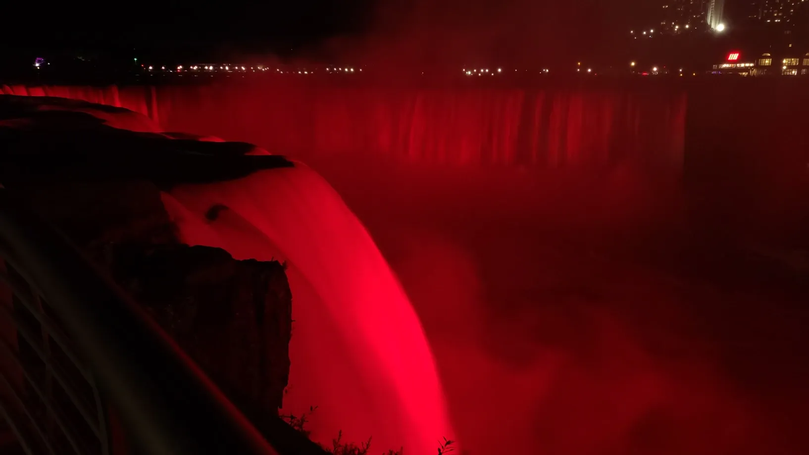
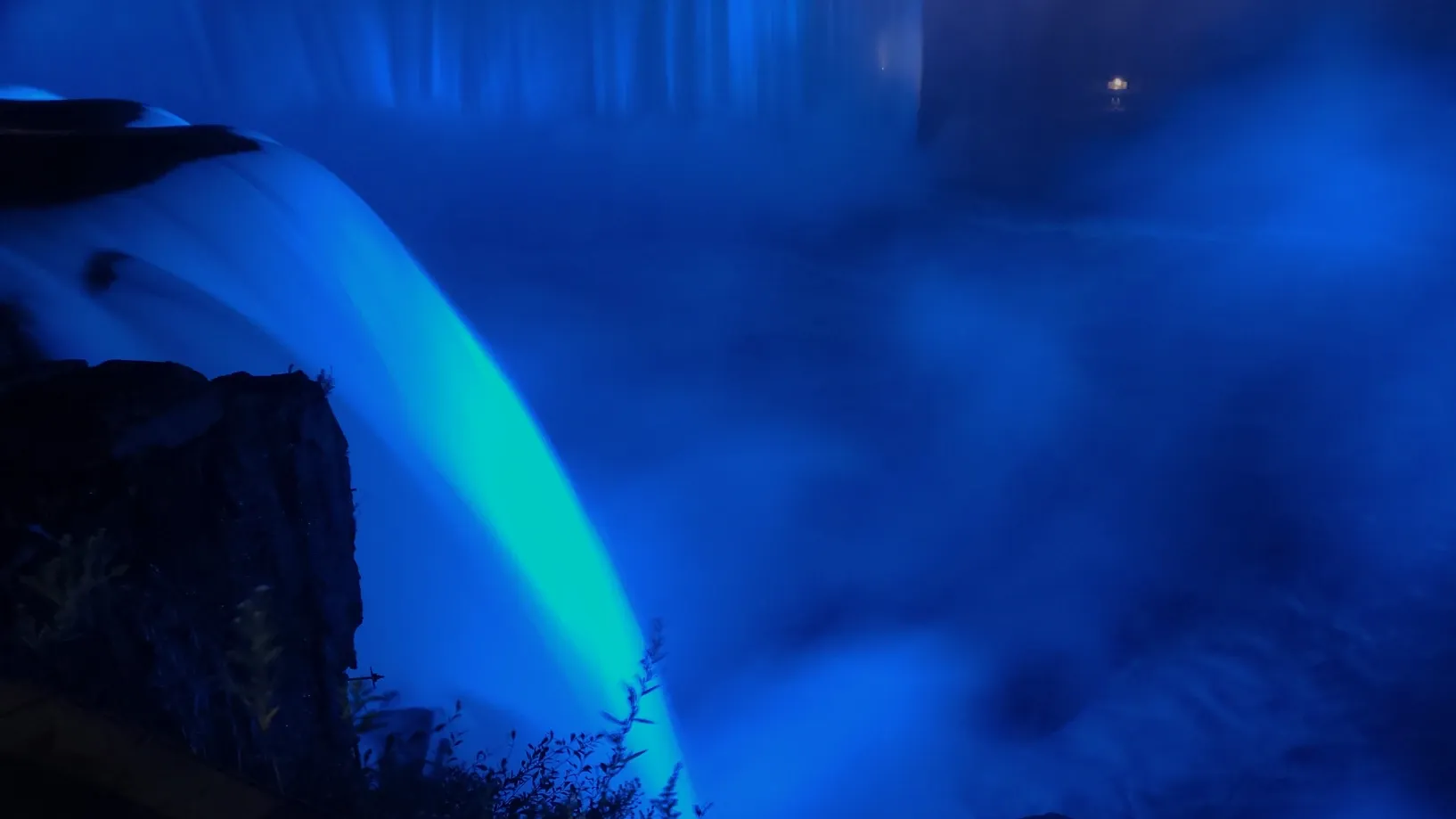
Before we knew it, we had trekked all the way to the Falls lookouts at Niagara State Park. We decided to keep going and went over to Goat Island, which connects to Three Sisters Islands. Here we got to see the small cascades that ripple their way towards American and Bridal Veil Falls. The whole area is beautiful. We spent so much time there that we lost daylight. The advantage to that was that we got to see the Falls illumination, aglow with red, white, and blue spotlights. Unfortunately this also meant hiking back in the dark. Don't worry, we didn't hike a rim trail! There is a flat, paved recreational trail that runs between the river and the road. Granted we couldn't see much, but there seemed to be lots of fields, flowers, and trees gracing both sides of the trail, and we were serenaded by crickets the entire way back. If we had more time in Niagara we'd for sure bring our ebikes to that trail, but we were happy to rack up close to 9 miles that day.
Whirlpool State Park to American Falls via American Falls Trail; Niagara State Park, Goat Island, and Three Sisters Islands; Recreational Trail from Niagara State Park to Whirlpool State Park, 8.9 miles
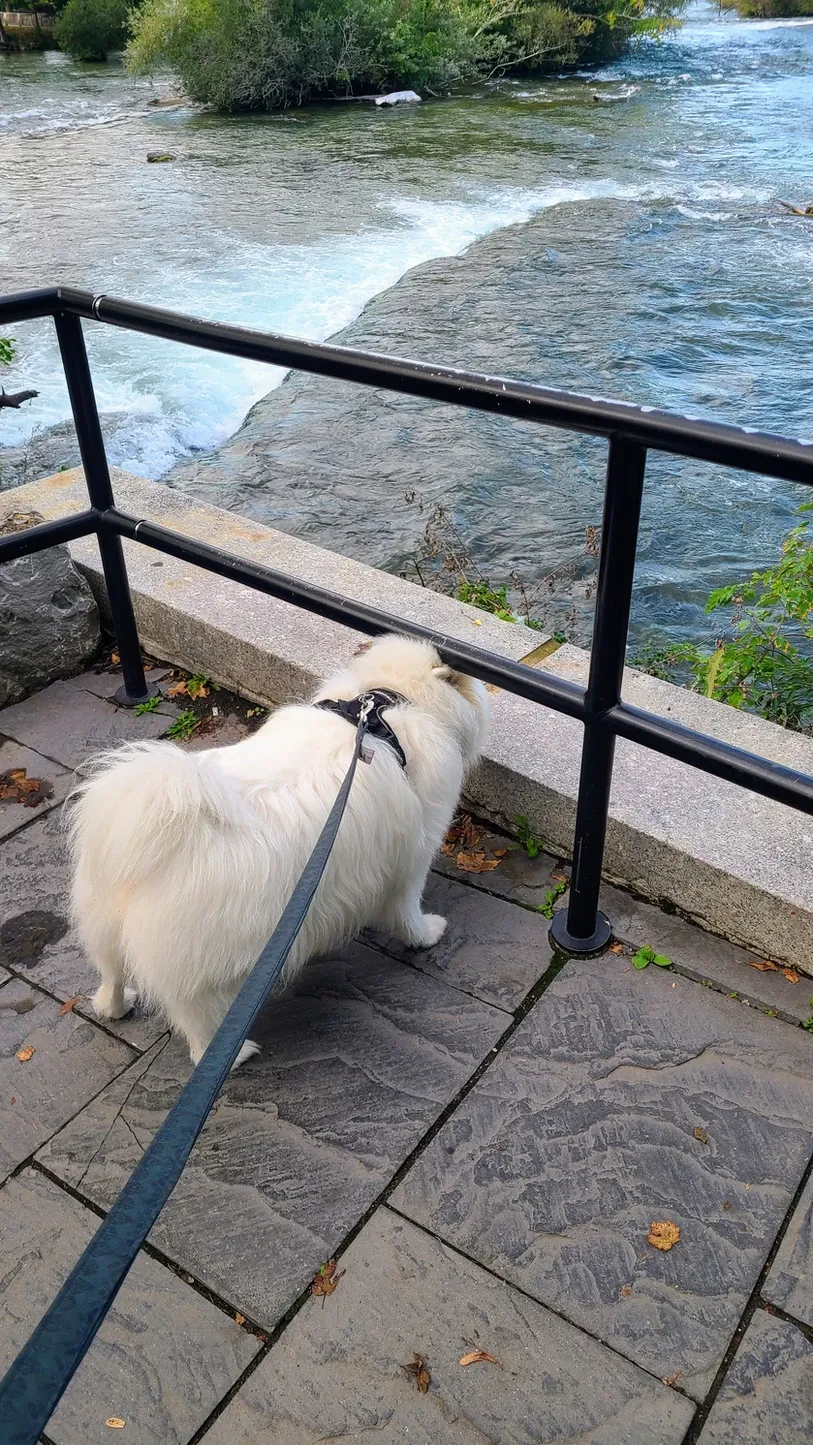
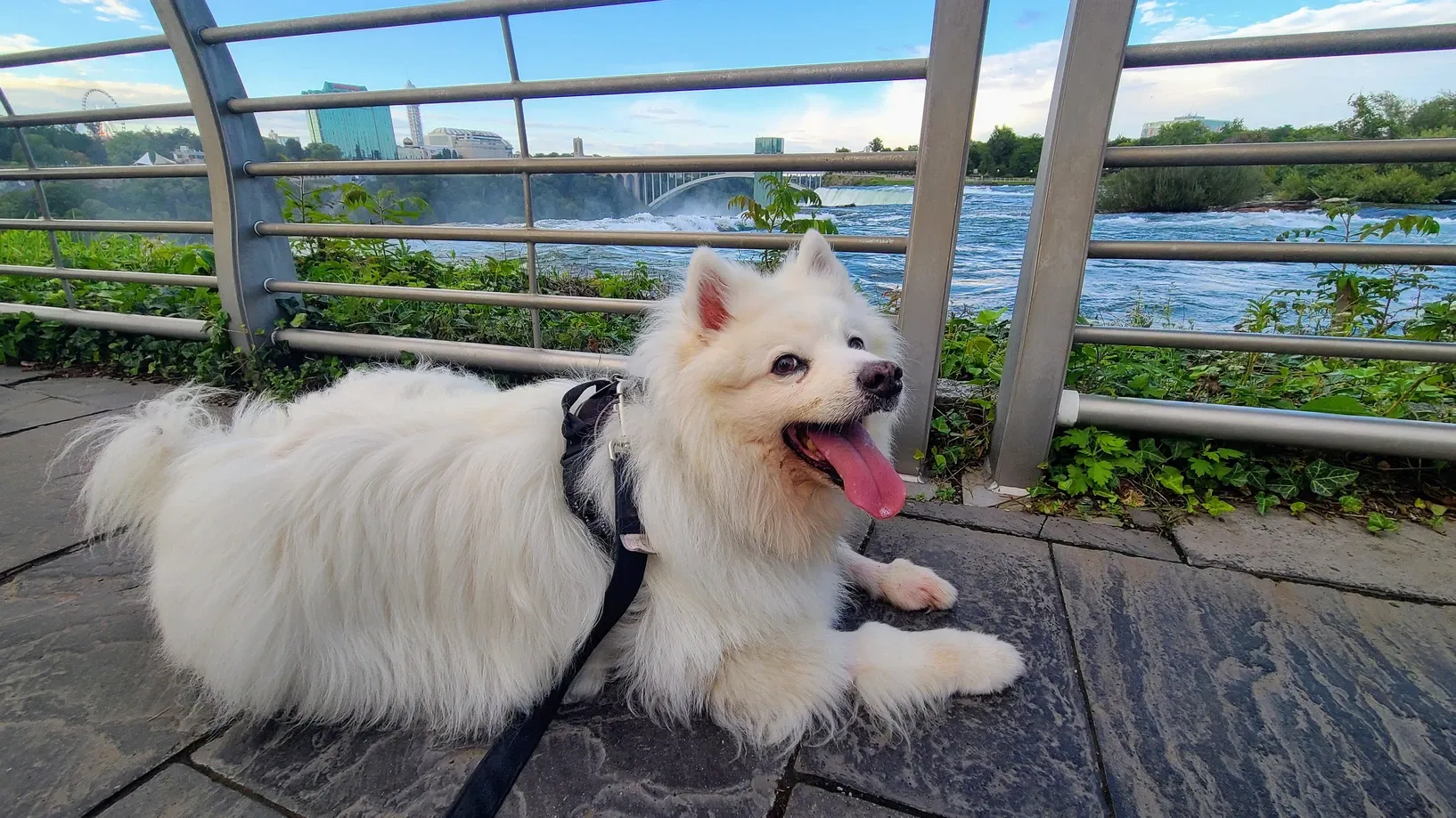
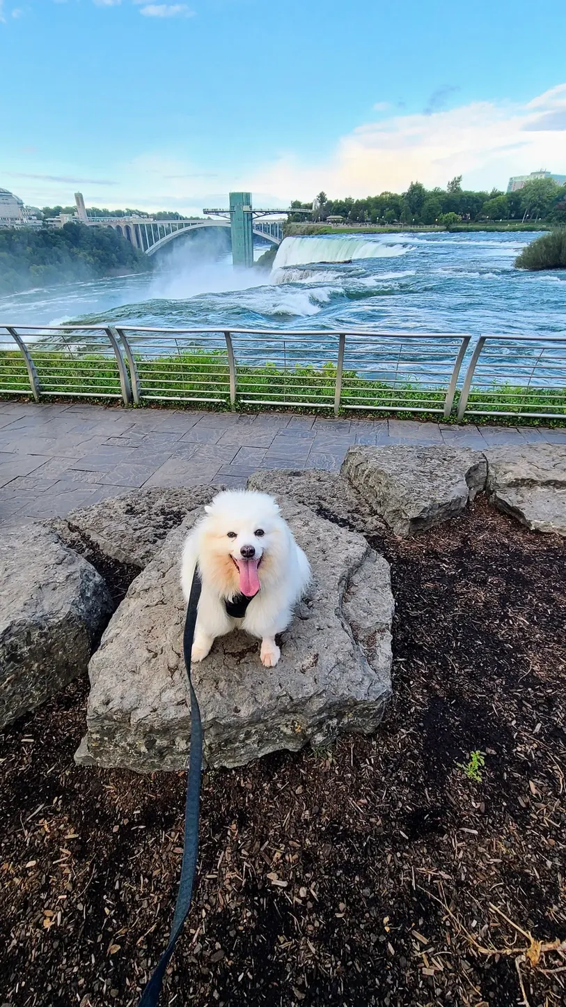
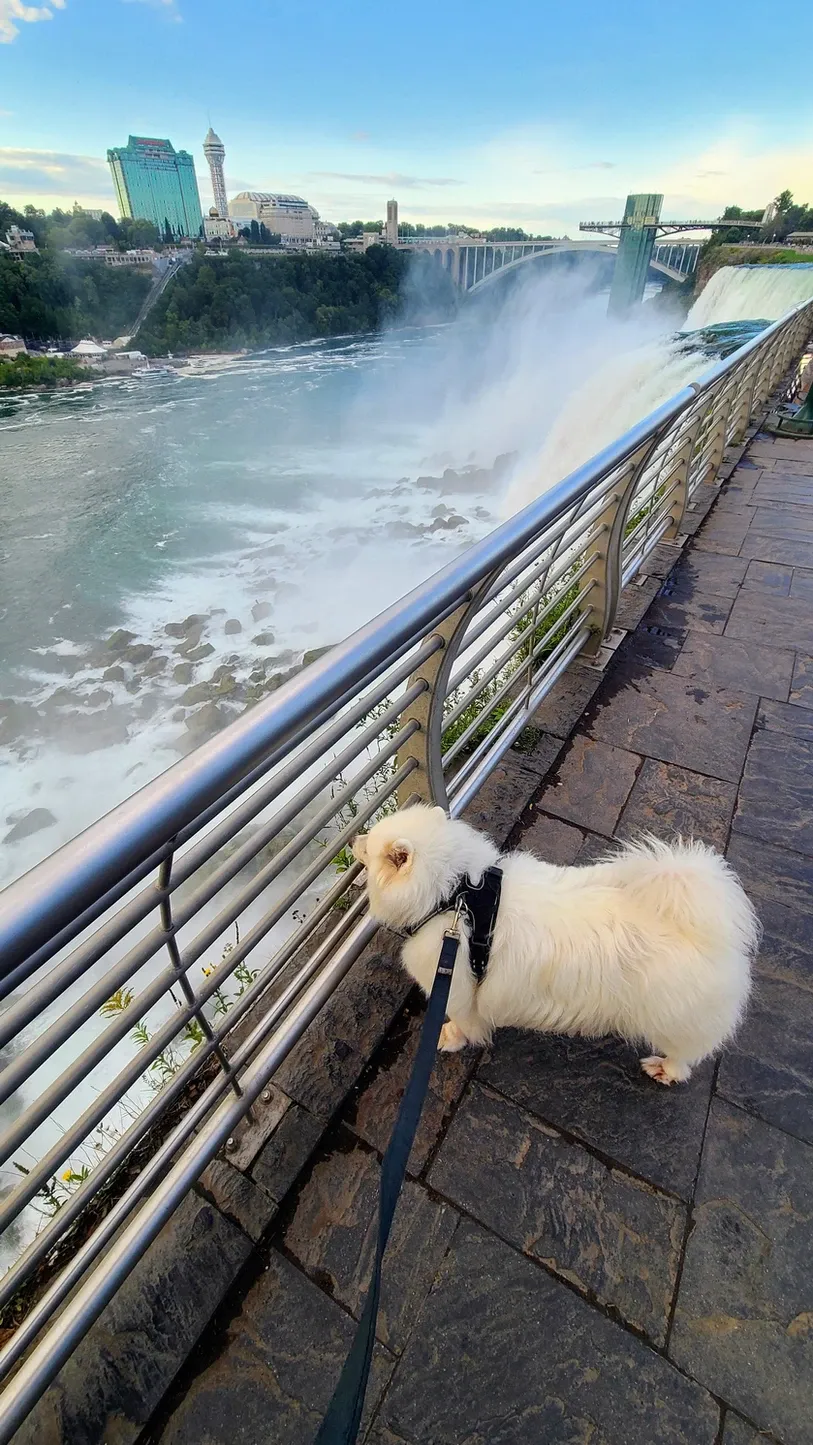
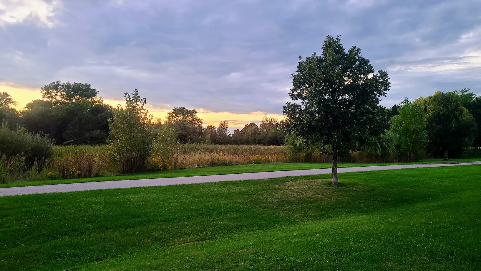
Nearly our entire stay went by and we hadn't brought Tanner to see the Falls! So one afternoon, we took him to the State Park to show him the sights. He seemed very intrigued by the loud rushing water, poking his nose between the guardrails on many occasions. We covered 3 miles. On our way home, we stopped for a short dusk walk at one of the state parks we hadn't visited yet. It was a big day for Tanner, but he loves his adventures. We all do!
Niagara State Park and Joseph Davis State Park, 4.2 miles

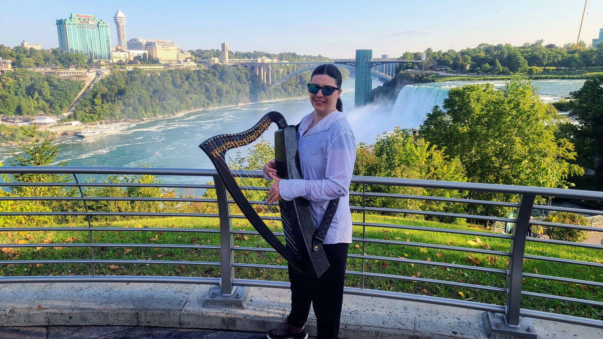
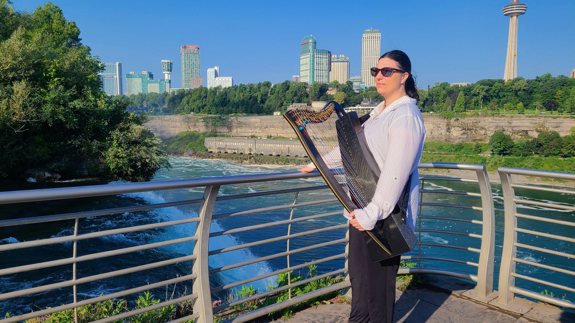
With landscapes this stunning, of course I couldn't leave Niagara without filming a harp hike! I brought James, my carbon fiber harp, on a walk around Goat Island and Three Sisters Islands. The morning mist was incredibly intense - probably the strongest we had felt at the upper falls. This is why I took my carbon fiber harp and not my wood one, because the carbon fiber harps are waterproof and can withstand extreme elements.
Niagara State Park, 4 miles
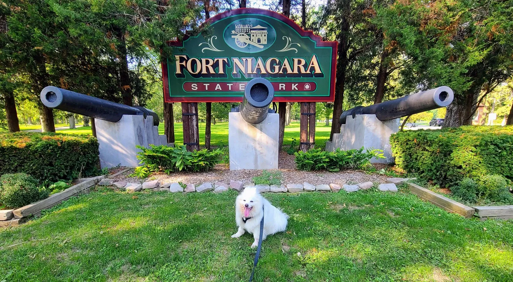
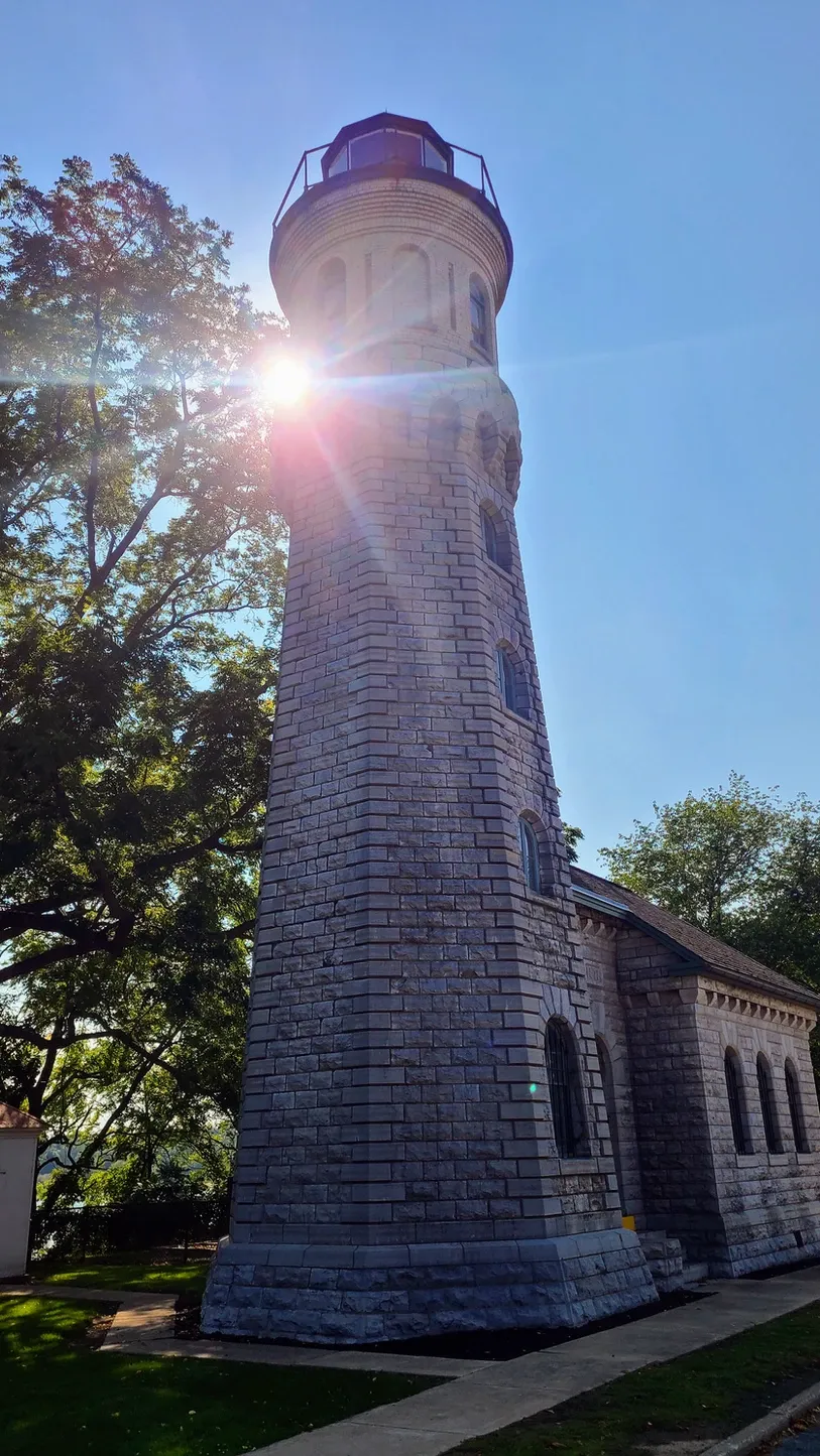
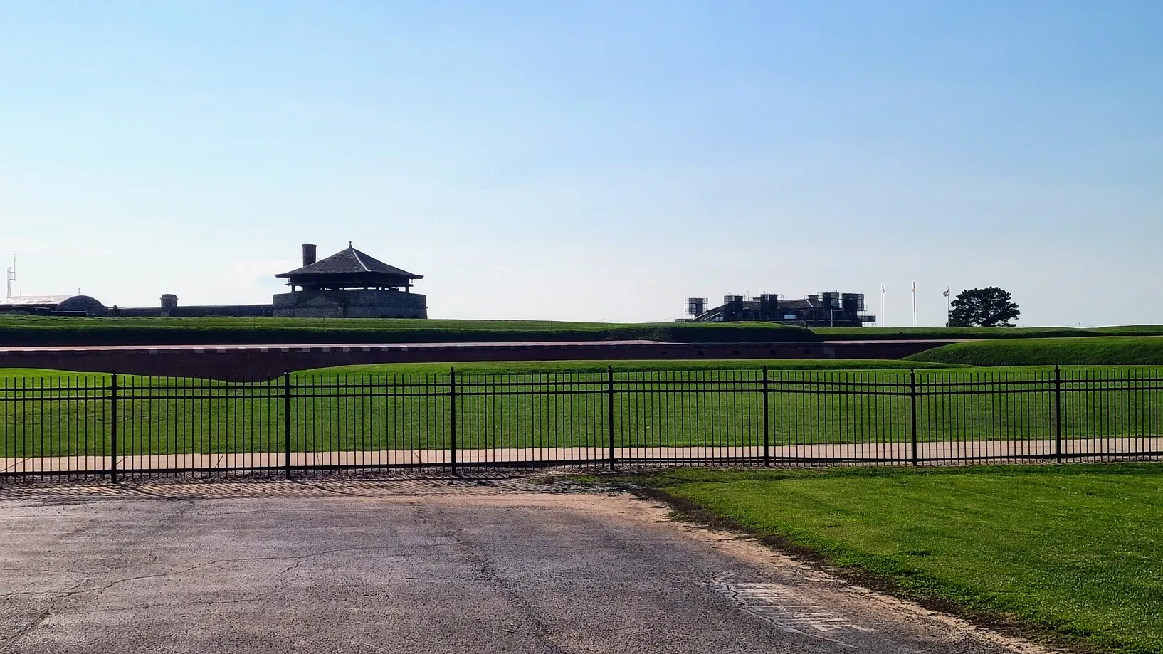
With only days remaining before we left Niagara, we were getting close to the finish line. We had seen every state park along the Niagara Scenic Parkway except one: Fort Niagara. Fort Niagara is located at the mouth of the Niagara River, where it meets Lake Ontario. If you pay admission you can go inside the fort, but we opted out due to time constraints. Turns out the fort was under construction anyway, and while still open, we would have enjoyed it more without the scaffolding. We did get to see the lighthouse, though, which was the first lighthouse built on a Great Lake. We took Tanner and strolled down the pathways, under the shadows of the turkey vultures that were soaring overhead.
Fort Niagara State Park, 2 miles:

We really came down the wire with this challenge, but not because we procrastinated. We actually had a great reason to save our final hike to the last minute. Our final day in Niagara was a busy work day, so instead of feeling pressured to squeeze in a couple miles during the day, I suggested that we take a night hike. Every night from summer into October, there is a fireworks display at the Falls. So how about we head to the Falls around sunset, walk some of the trails, and then stay for the fireworks?
When we hiked the American Falls Trail on our 9 mile day, we spent a little time on the Gorge Railway Trail, before veering off to the more challenging trek. We figured now would be a good opportunity to take the rest of Gorge Railway because it's a flatter trail but we'd get to see the views at dusk. That was about 1.25 miles out and back, and we followed it up with some more trails in the state park.
What better way to celebrate our 36 miles than with a fireworks display?! It was like New York State Parks was giving us a little gift for our accomplishment. We chose to watch the fireworks from Luna Island on Goat Island. It's a lot less crowded than Prospect Point where most people watch, mainly because it's less convenient and less well-known. Plus Luna Island has a lot of rocks where you can sit and watch the fireworks. We had a great view right across the river. Afterwards we took the long way back off Goat Island, stopping at Terrapin Point to soak in the illumination of Horseshoe Falls. Then we made the walk back through the state park to our truck. All the nighttime exploring brought in extra miles, all worth it.
Gorge Railway Trail, Niagara State Park, and Goat Island, 5.8 miles

When we set out to challenge ourselves to these hikes, we didn't know what was in store for us. Beyond the views, we got a deeper appreciation of the Niagara region. We got to see the Falls from vantage points that most visitors don't. We boosted our morale through movement and ended up feeling really good about ourselves. And we built memories that will last forever. I'm sure this won't be our last physical challenge as we continue our travels.