But before the Redemption Tour...


...we snuck in a trip to Colorado! After leaving our Airbnb, getting our trailer back, and taking Tanner to his final vet appointment in Payson, we had a few days to spare before our camping reservation began in Arches. We had left these as buffer days in case we got delayed by our appointments, or perhaps another Utah natural disaster. You never know! But this time, nothing held us back.
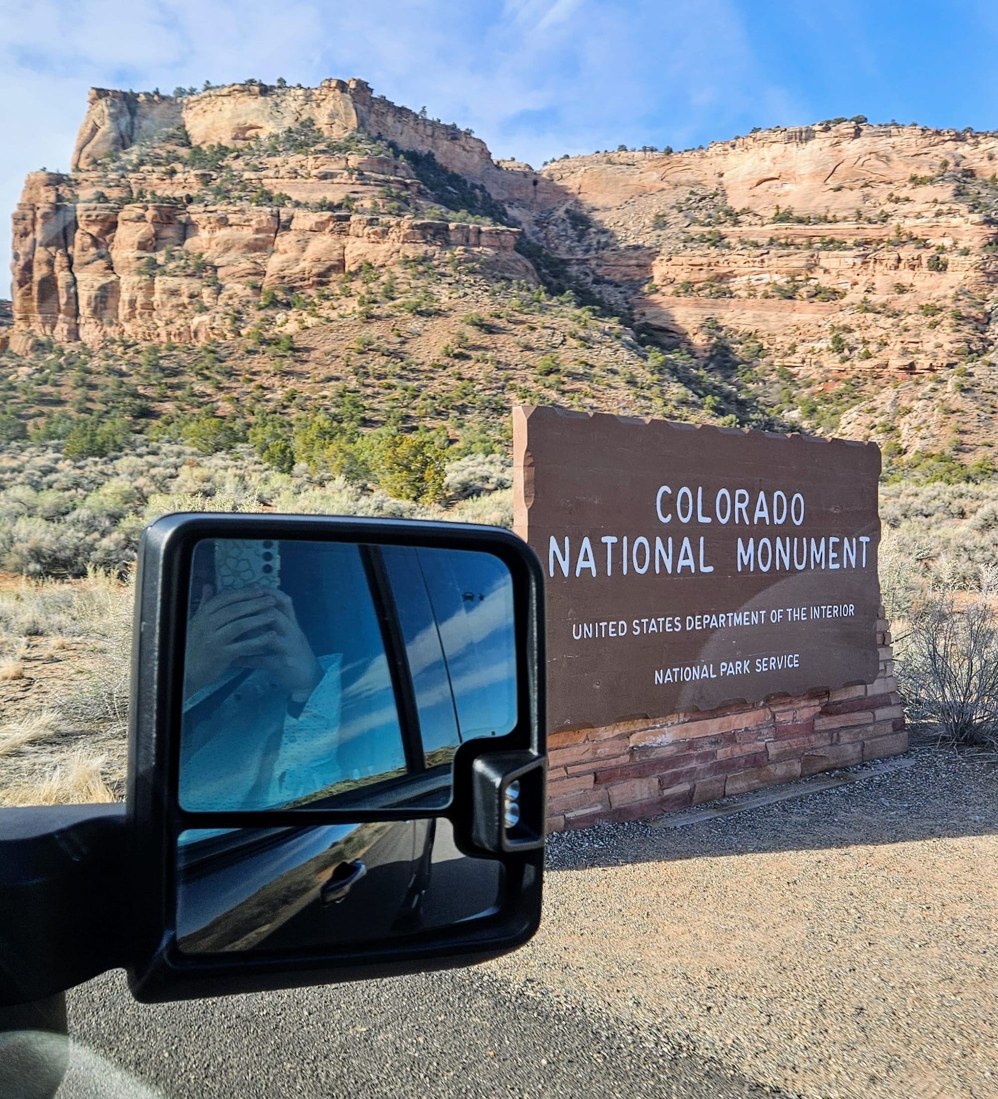
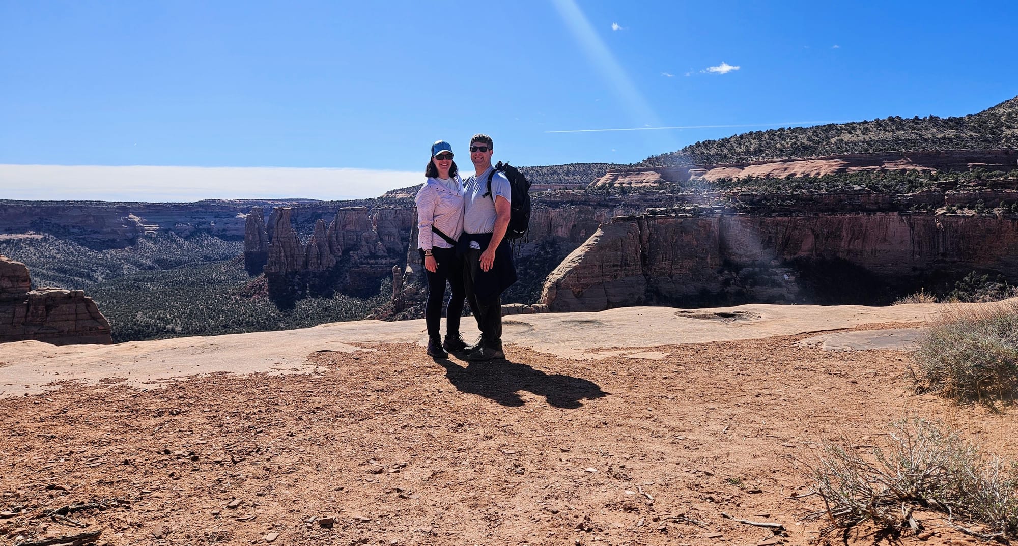
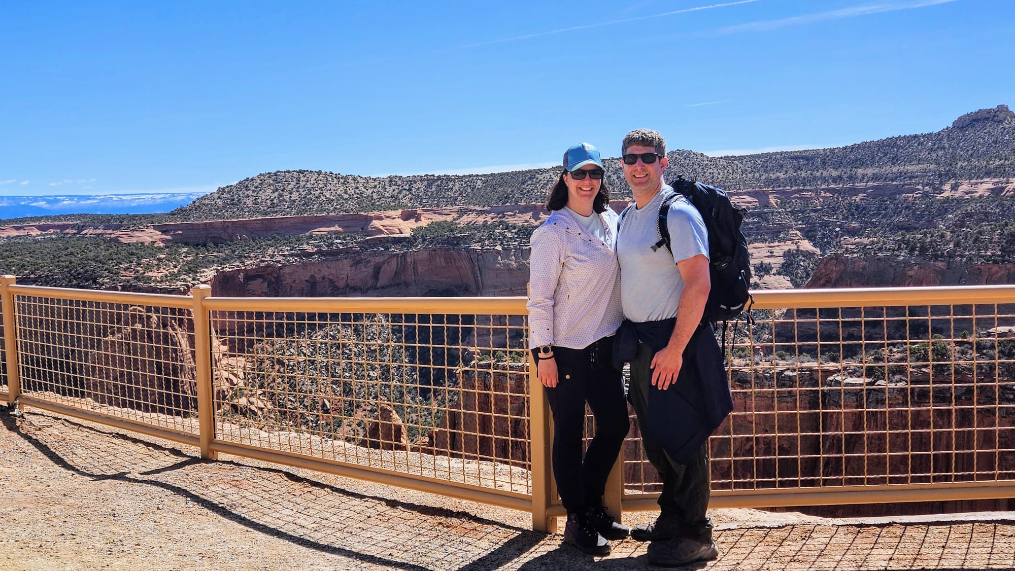
We thought about heading to Moab early and perhaps camp near Canyonlands first, but then I saw this YouTube video where Maria from Roaming Reckless took her dad to Colorado National Monument. My goodness, that place looked beautiful! Suddenly, Colorado National Monument shot to the top of our list. It's amazing that, of all the recommendations we've gotten and places that have turned up in our research, this one had mostly eluded us. I had probably heard the name in passing but never paid much mind. That was a mistake, and we were about to fix it.
One of the best parts of RV life is being able to see a beautiful place on the internet and just go. Only weeks after watching Maria's video, we were there, enjoying the canyon views in person. An absolute RV life win.
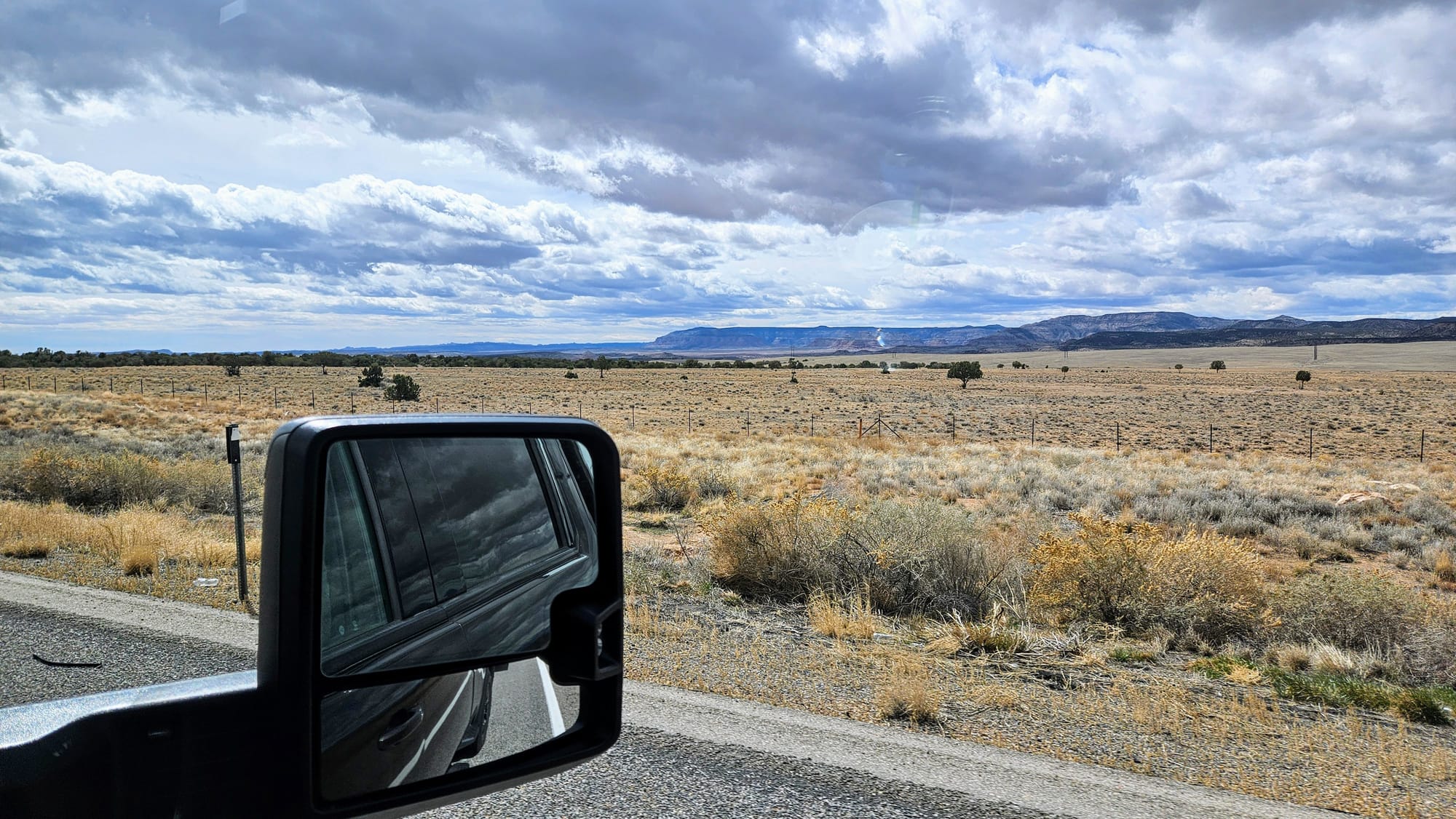
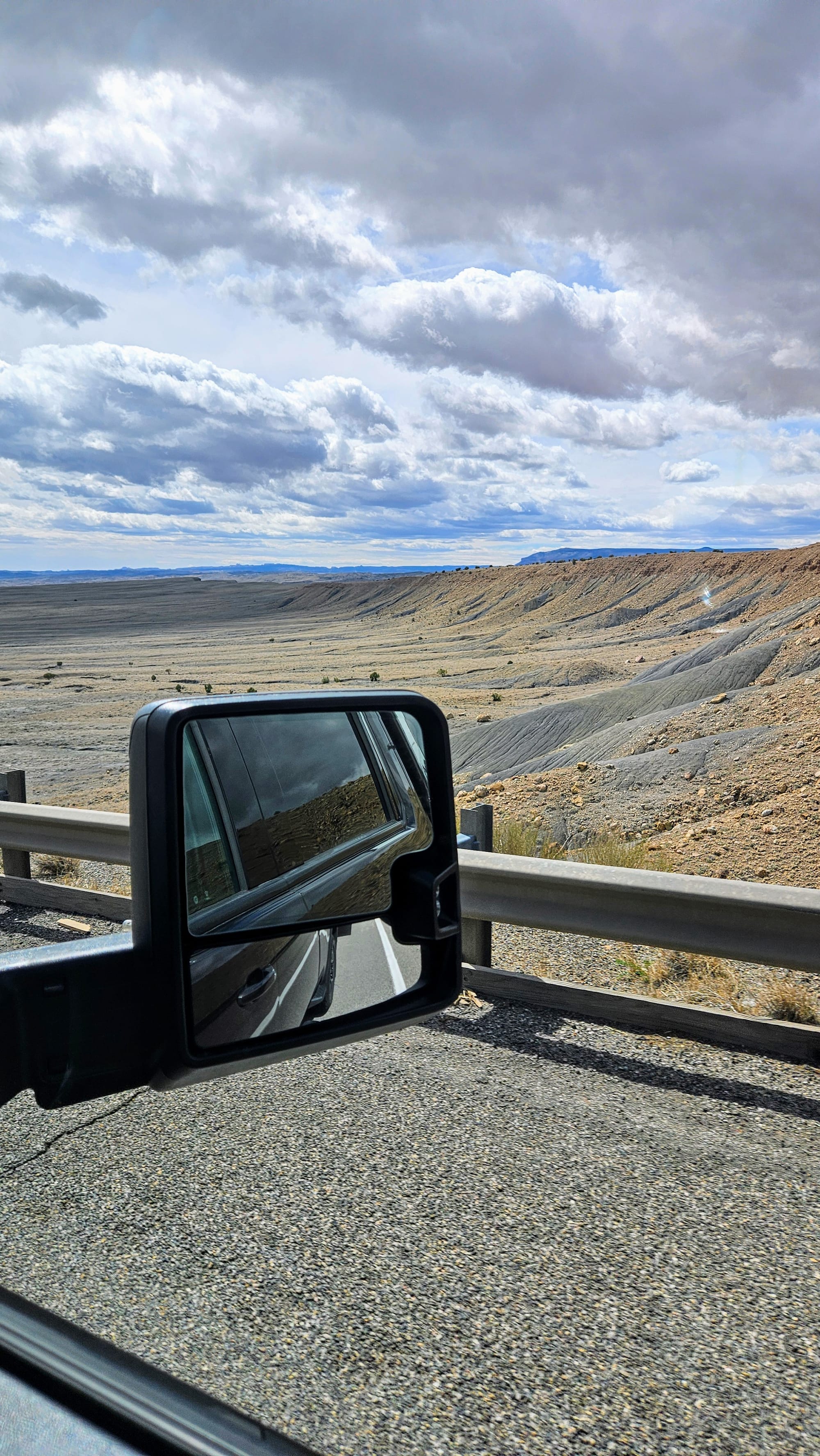
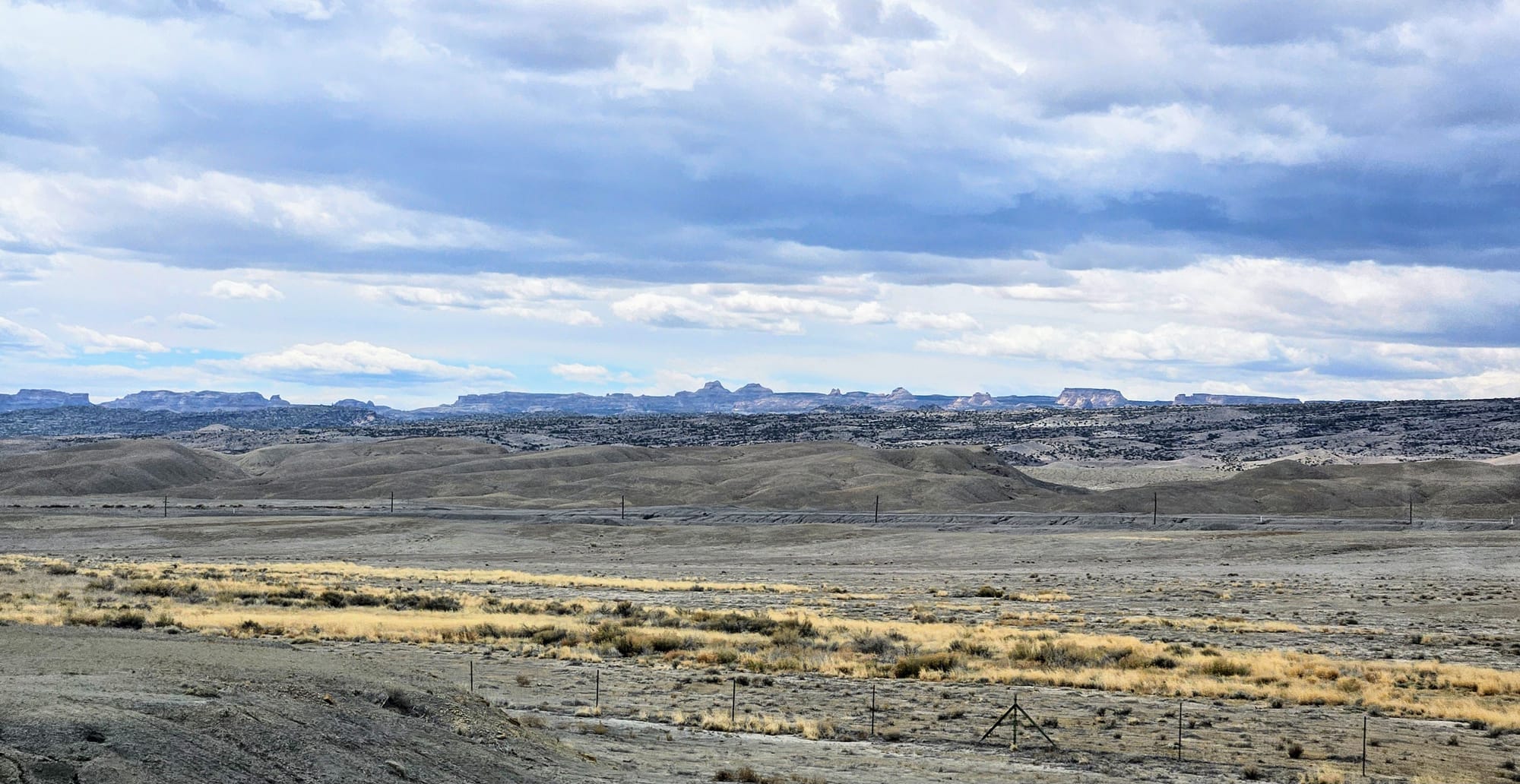
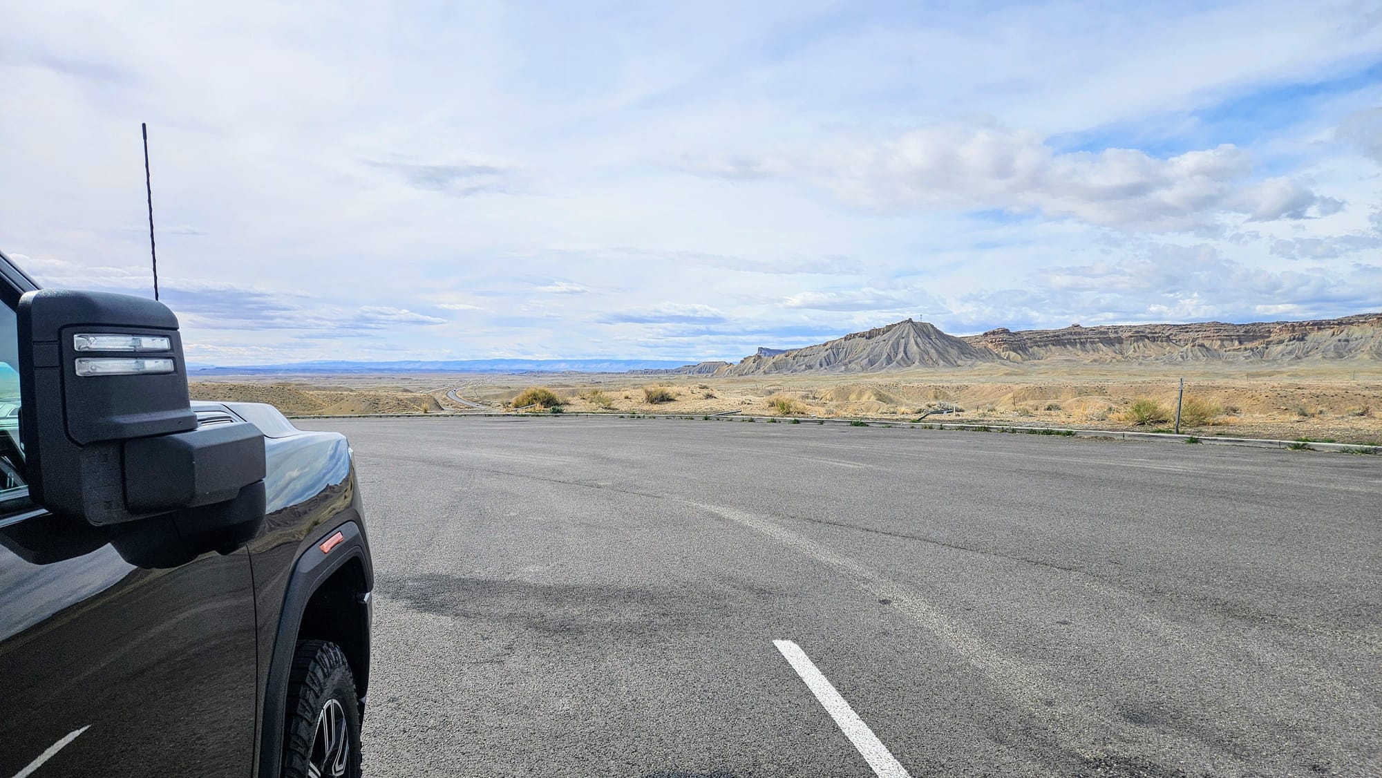
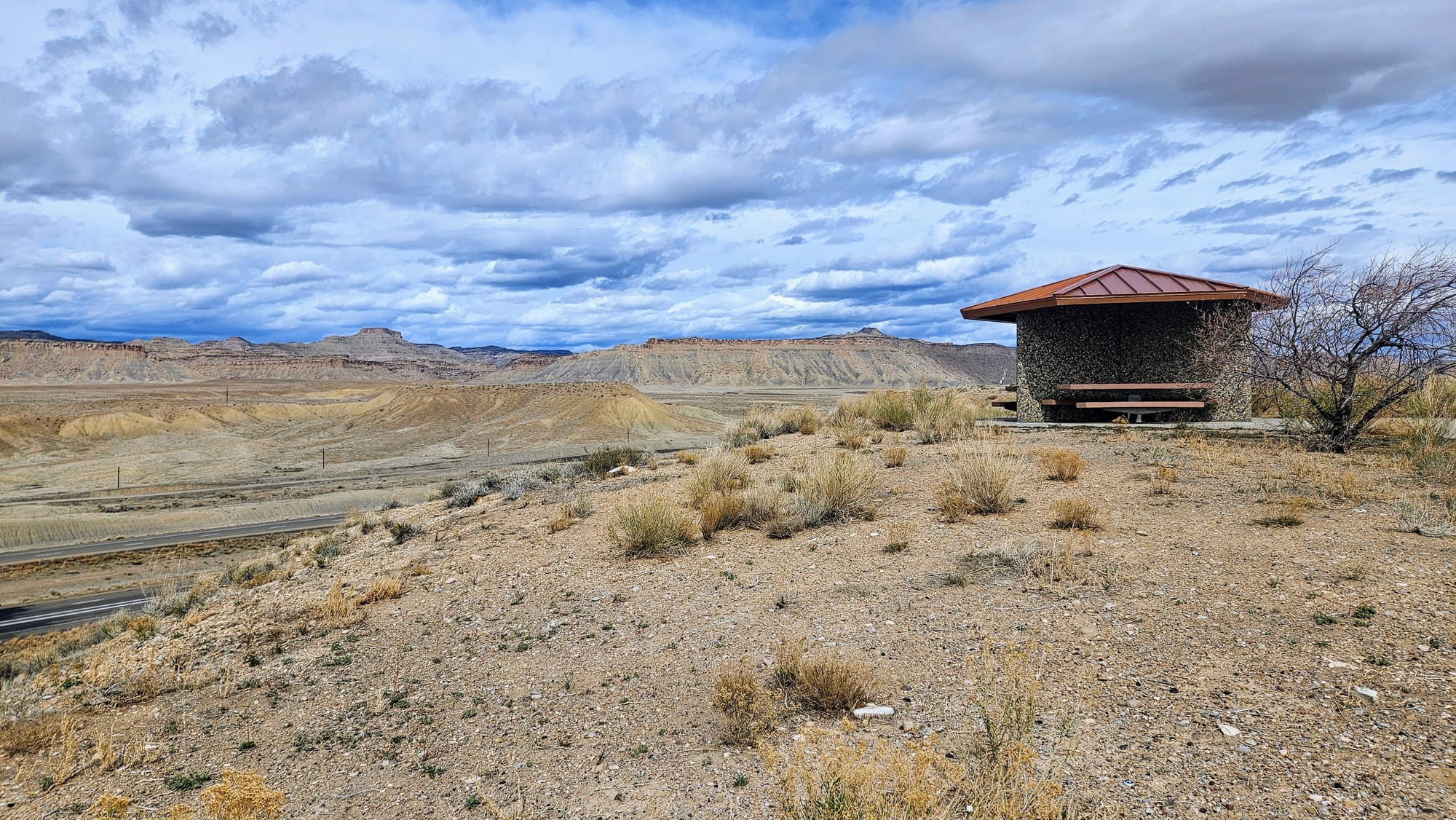
Colorado National Monument, or as we affectionately abbreviated, CONatMo, wasn't a far drive out of the way of our travel route. All we needed to do was continue east on I-70 past US191, the turn we would take to reach Moab. We crossed the border into CO and our campground was just off the interstate in the town of Fruita (not to be confused with the Capitol Reef historic Fruita). We tacked on a little over an hour each way compared to if we had just turned on US191. The drive was a little bumpy, but we got some great views. We also made a stop at one of the most scenic rest areas we've ever seen.
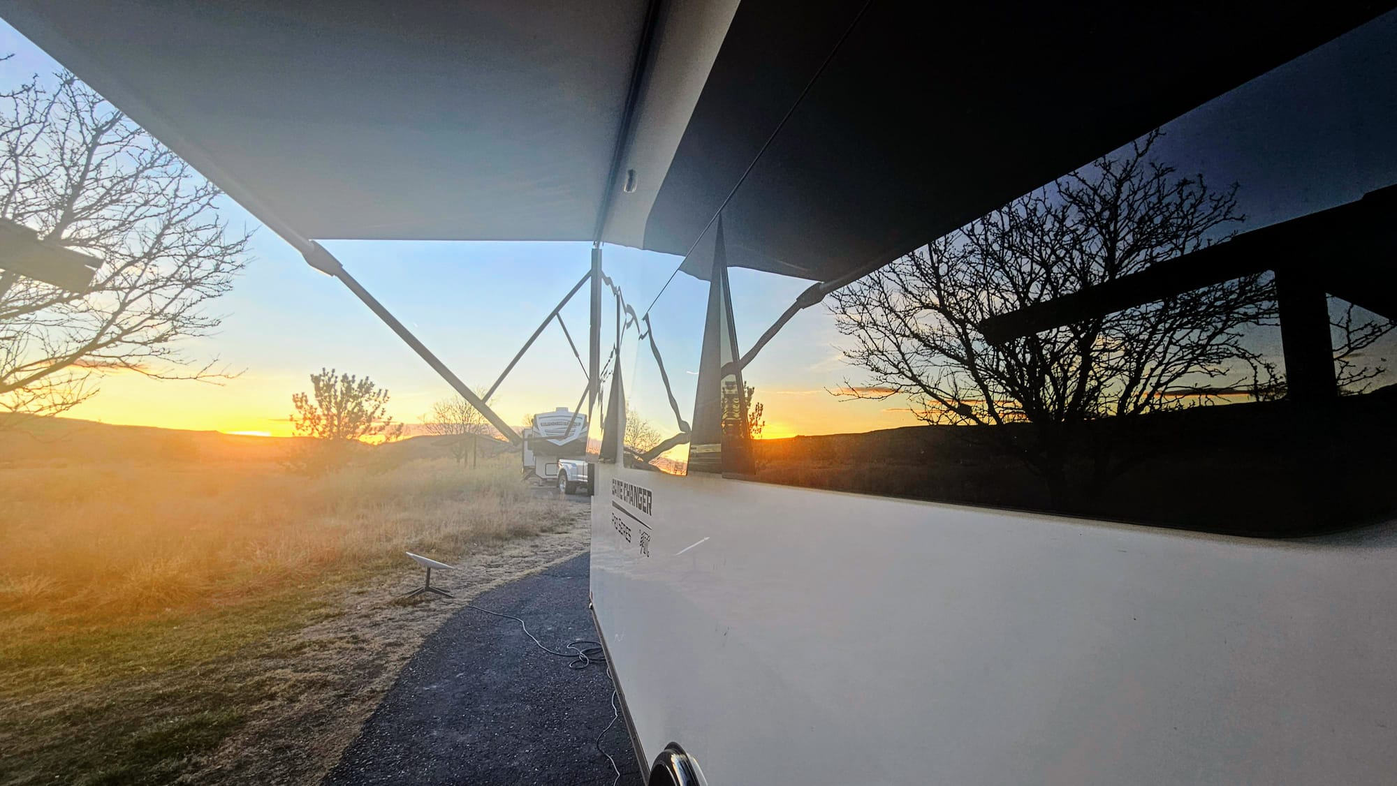
We stayed at the James M. Robb State Park in Fruita, which put us only a few minutes away from the western entrance to CONatMo's scenic road, Rimrock Drive. We usually avoid CO state parks. Their booking process is frustratingly tedious and they are far too expensive. But we sometimes make an exception if we can get a site with full hookups. At least then the $50-60 price tag is a little more palatable, especially compared to other RV parks in the state. Full hookups were a non-negotiable because we wanted to ensure that we were full on water and empty on black and gray before venturing into Arches. We wouldn't have hookups again for a while.
The price might be a tough pill to swallow, but CO state parks are nice. This park had spacious sites with covered picnic tables, and across the park was access to a few trails, including a gorgeous river walk along the CO River. We love a good walking trail from our campground! The state park also had lots of facilities, including a laundry room, but it was closed for the season.
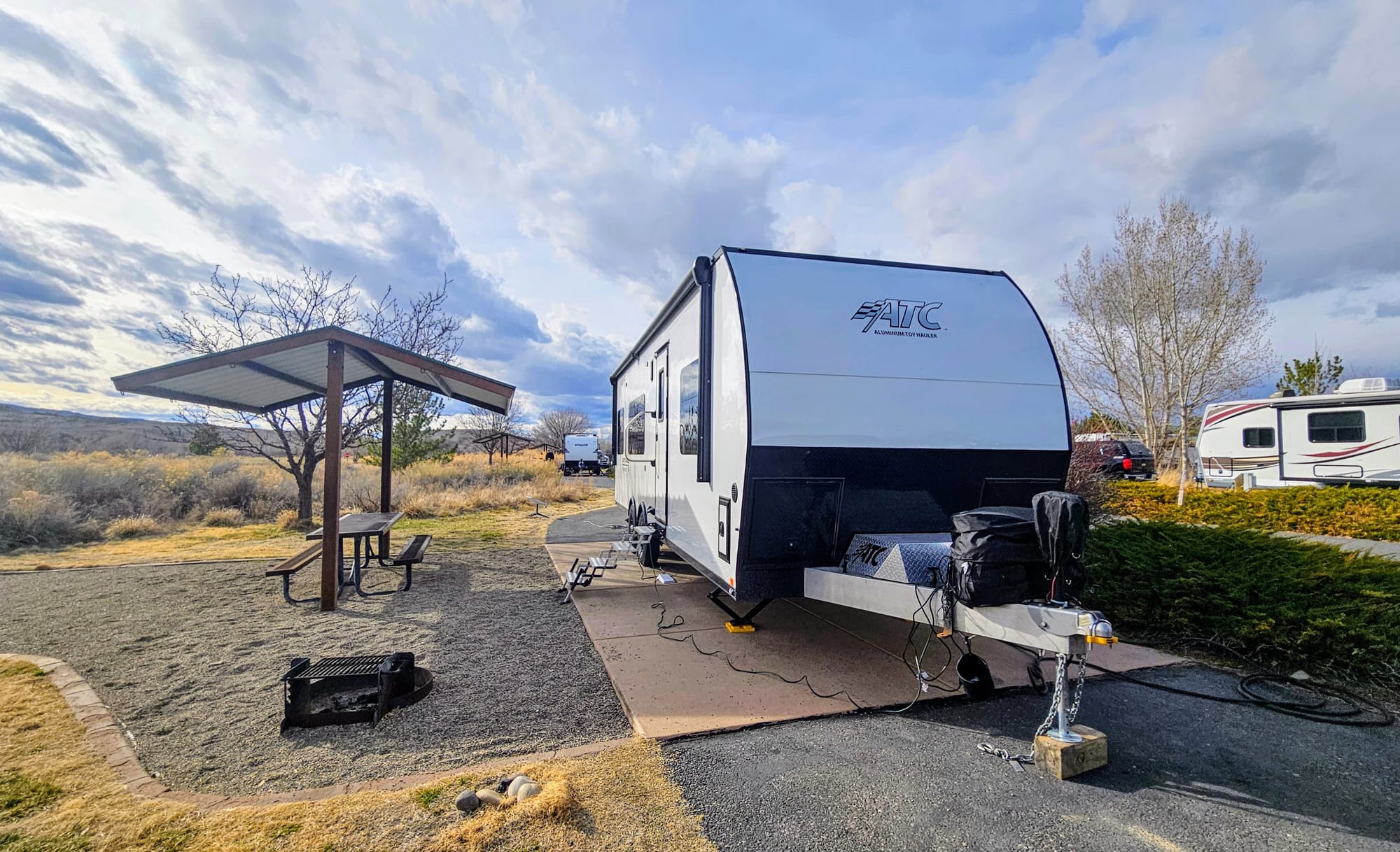
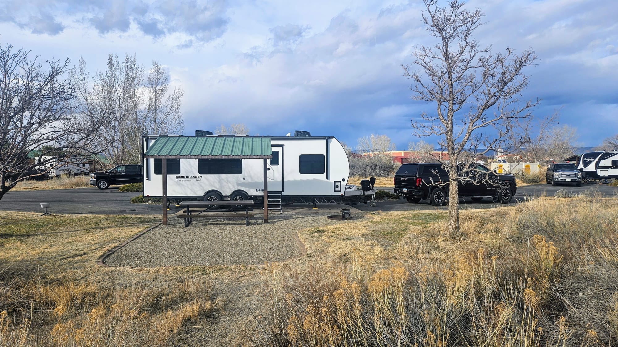
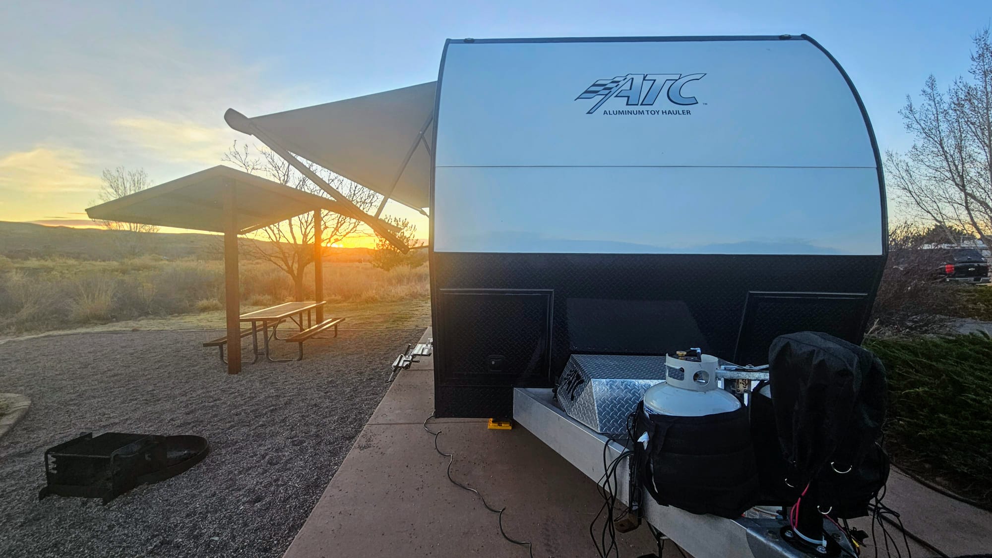
Site 8, pull-thru, FHU
Fire ring, covered picnic table
Campground recommended? Yes
Campsite recommended? Yes
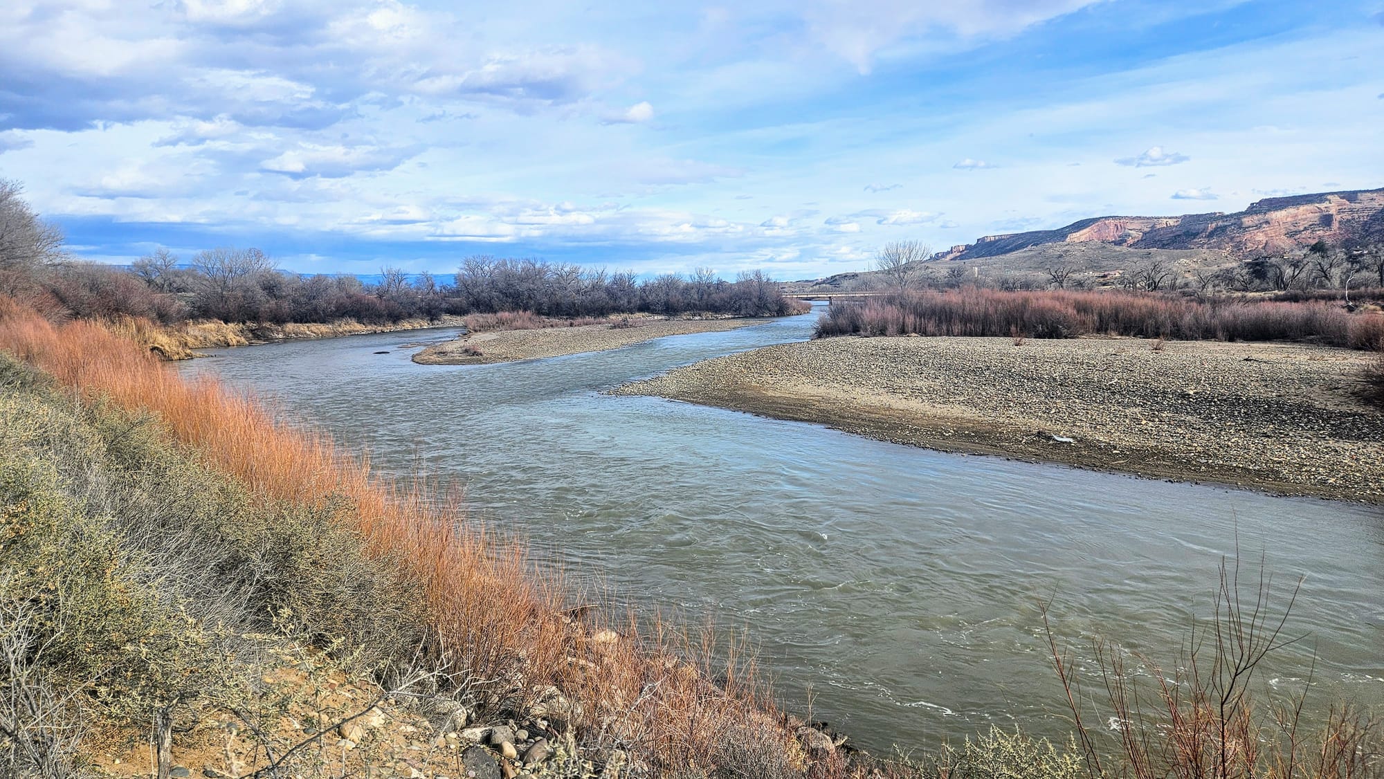
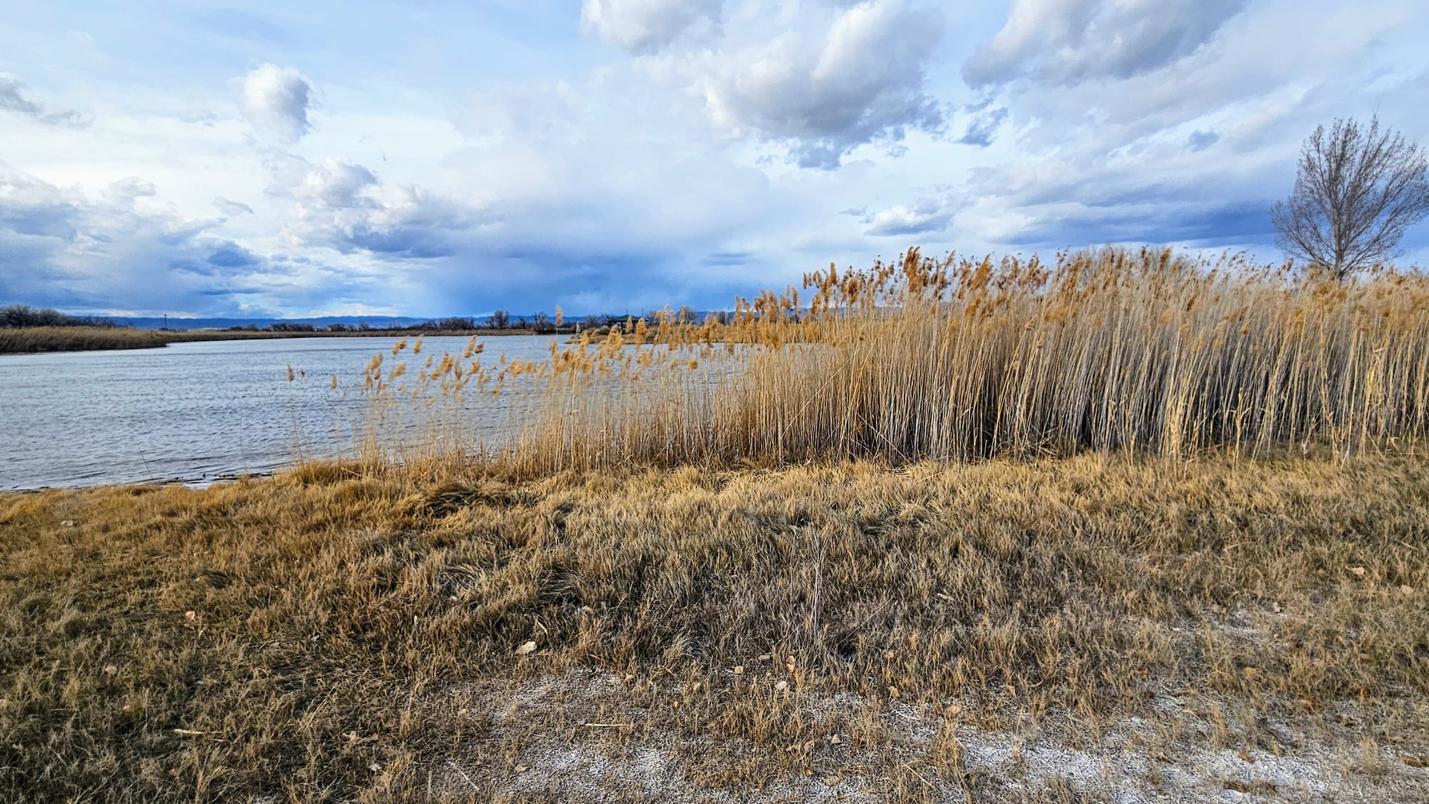
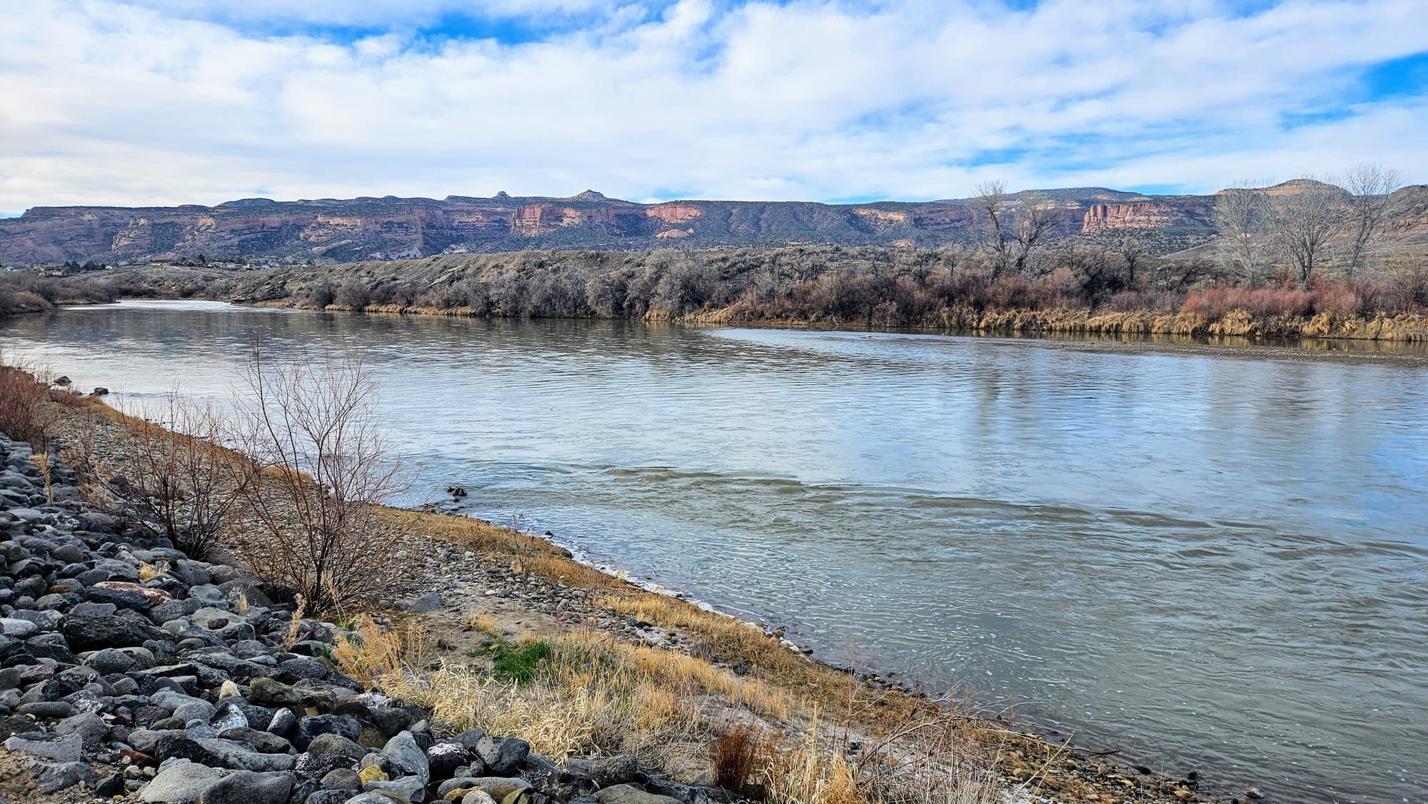
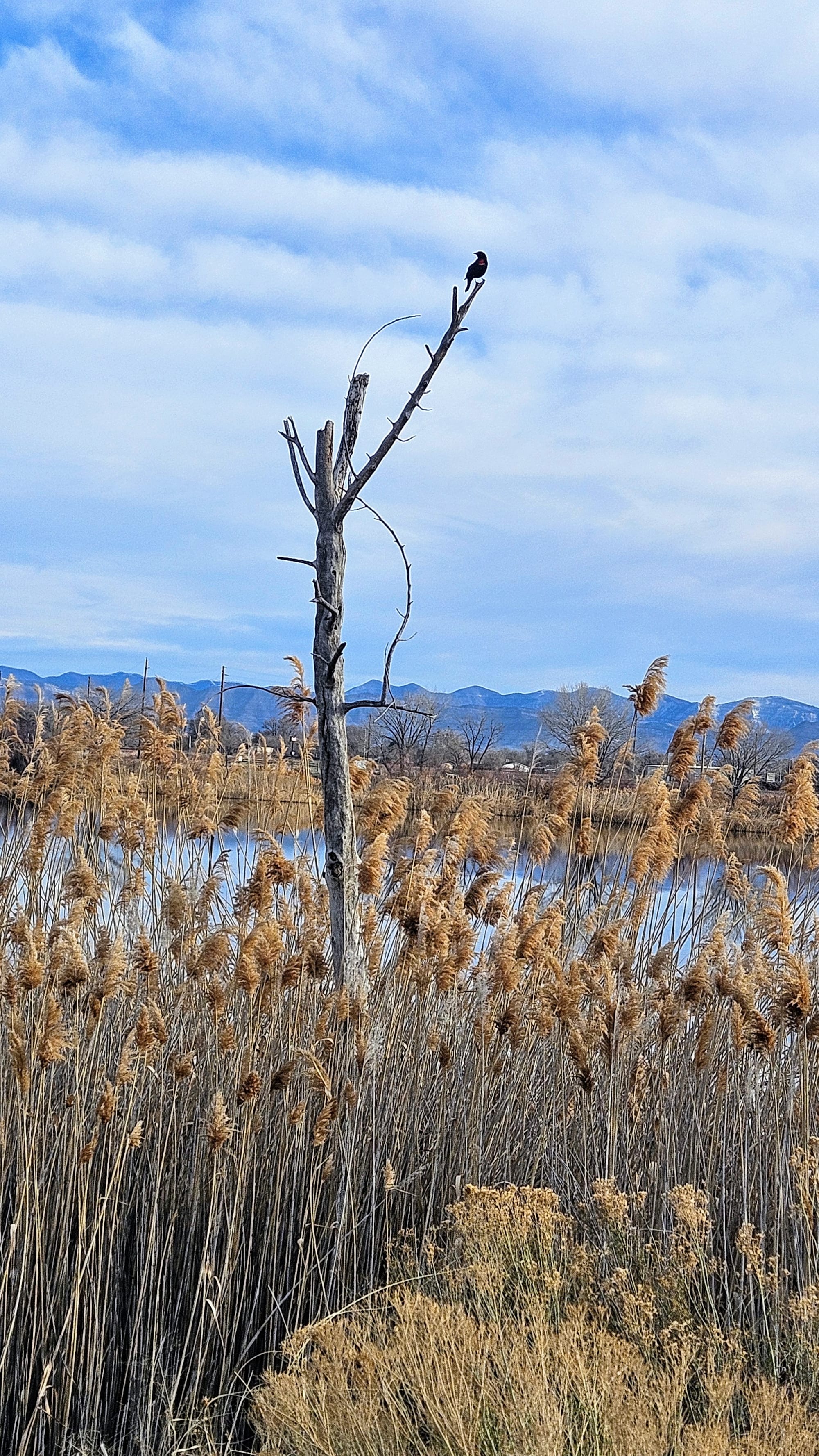
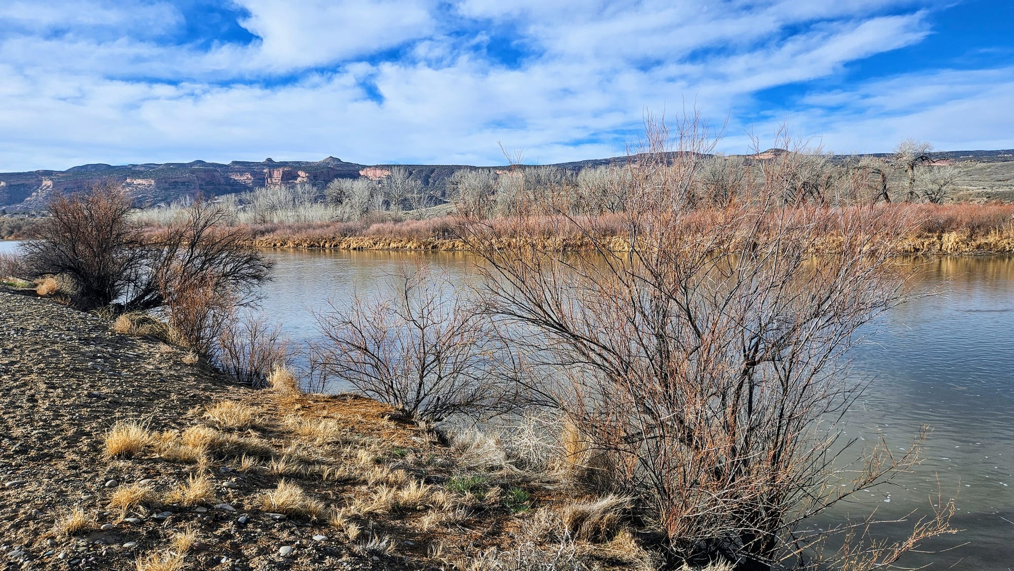
Photos from our many walks in the state park and by the river
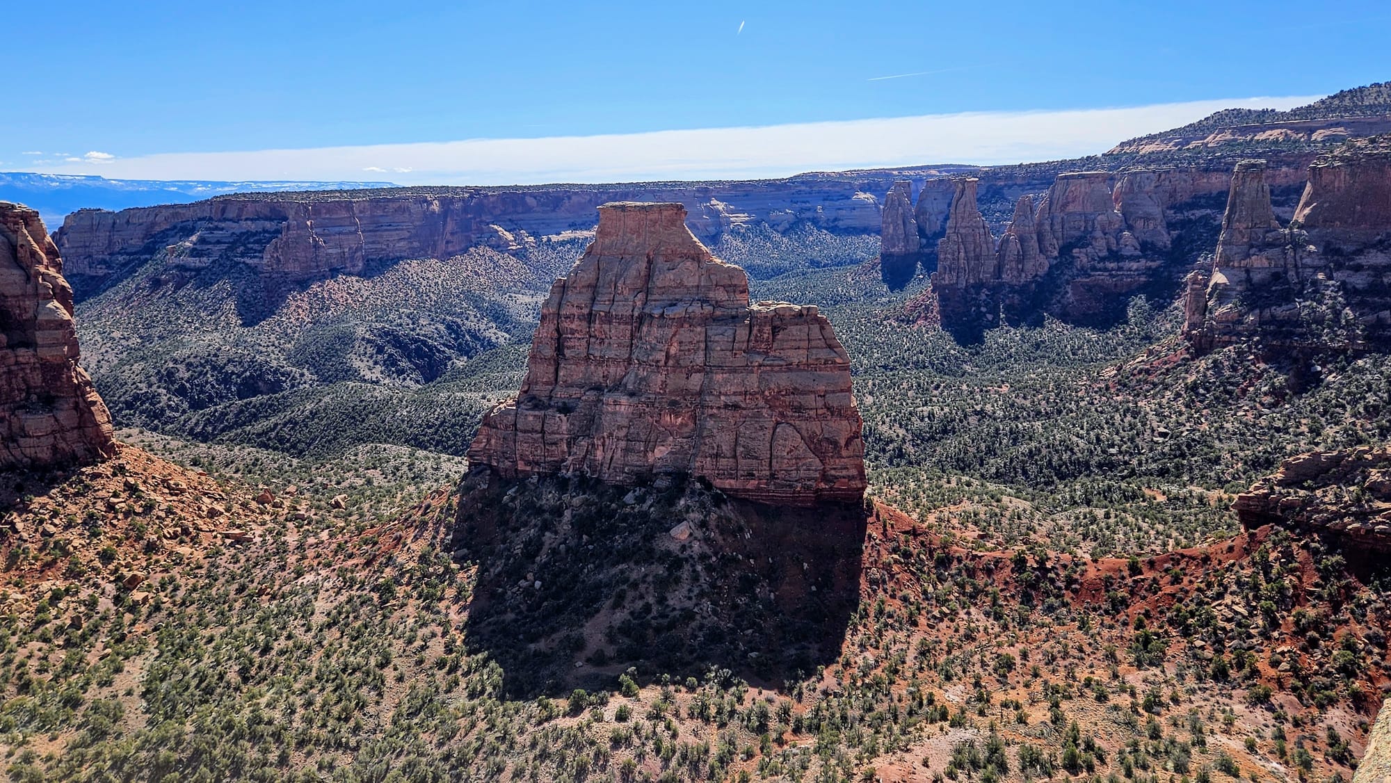
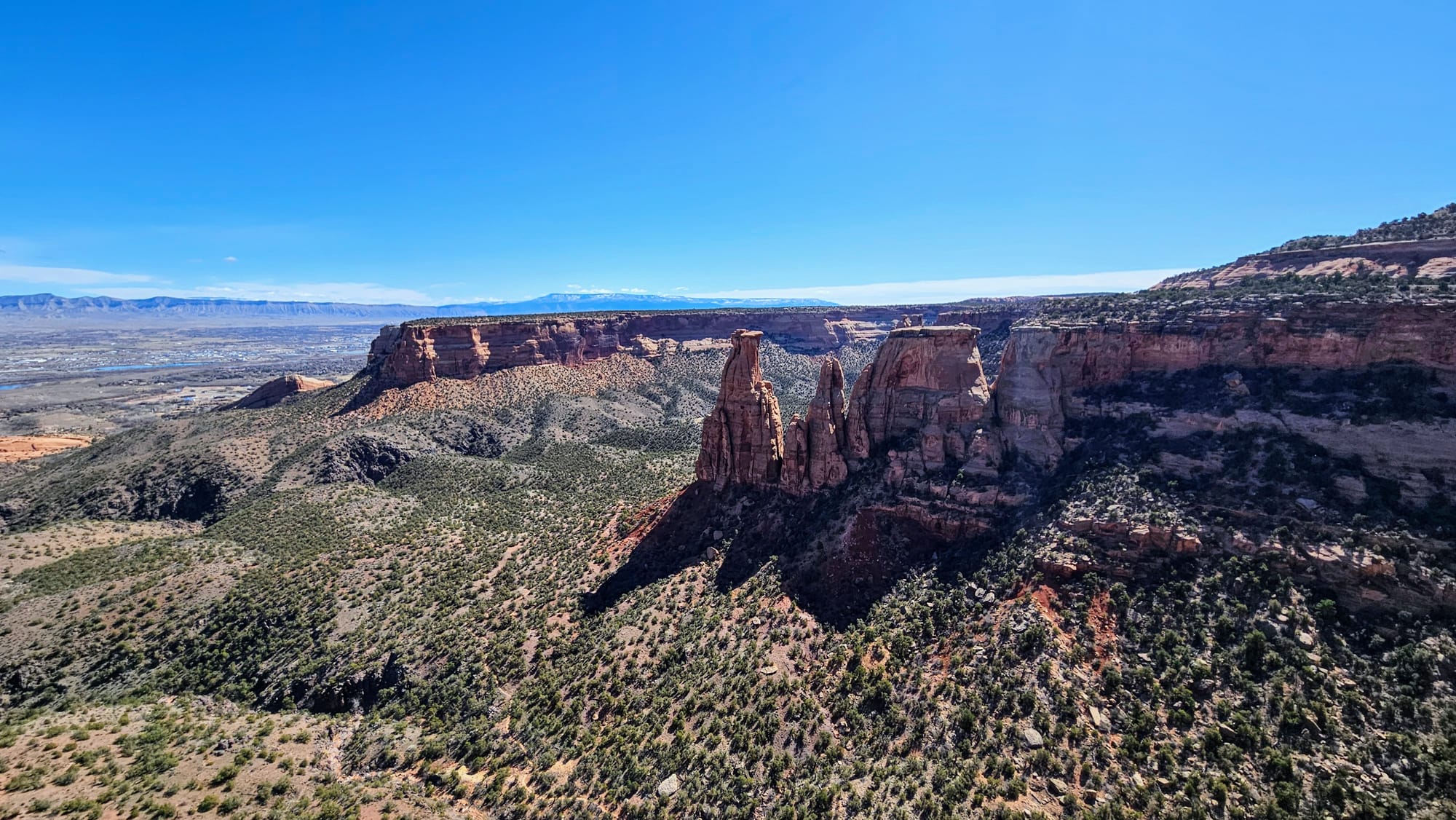
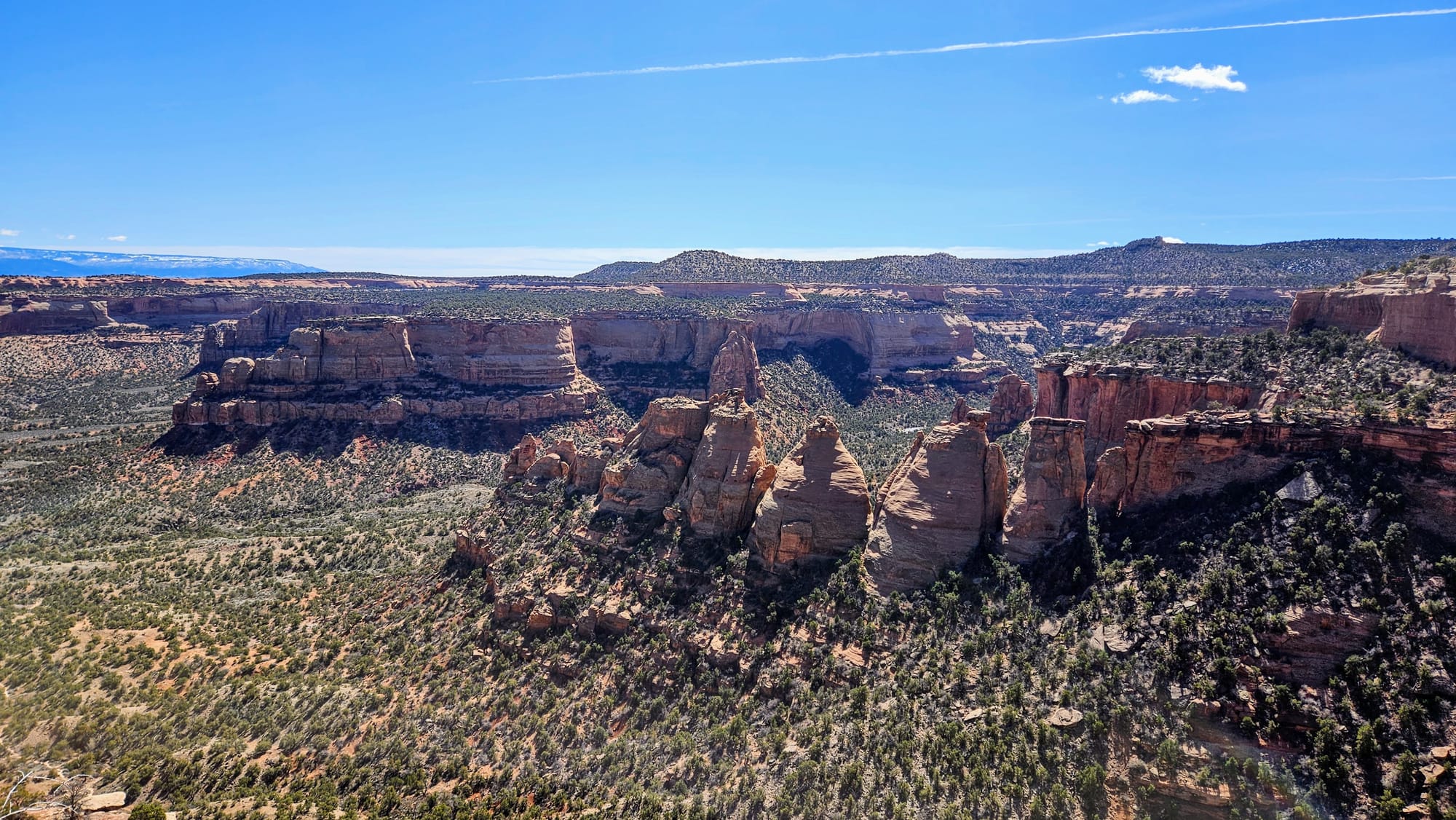
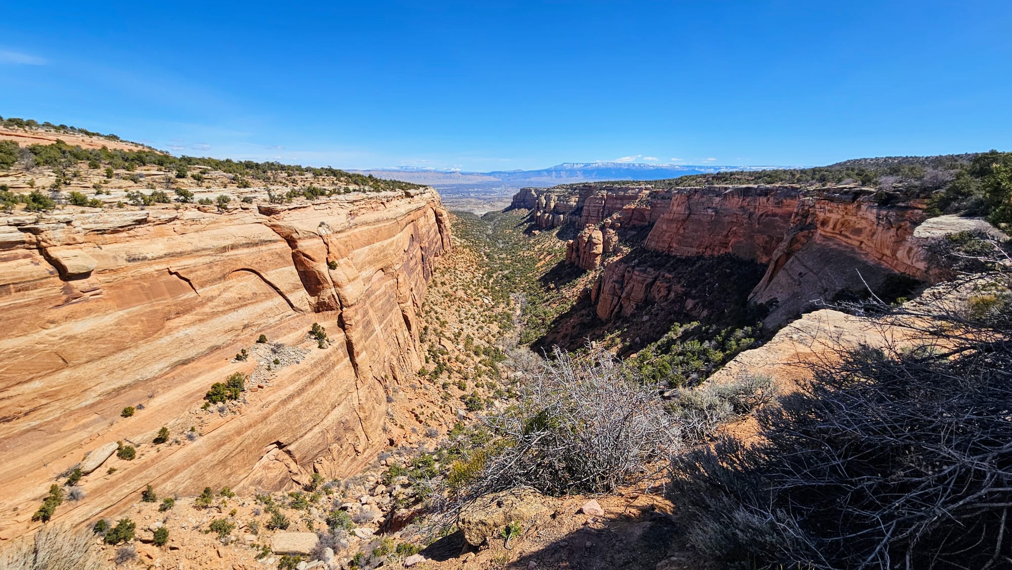
Colorado National Monument lies on the Colorado Plateau, the same topographic region as the Utah Mighty 5, as well as the Grand Canyon. The area is known for its vast array of mesas and plateaus, desert landscapes surrounded by highlands, and dramatic valleys and canyons. At CO National Monument, you can see many of the same rock features that we talked about in our Utah Redemption Tour, including mineral-heavy rock layers and distinctive monoliths.
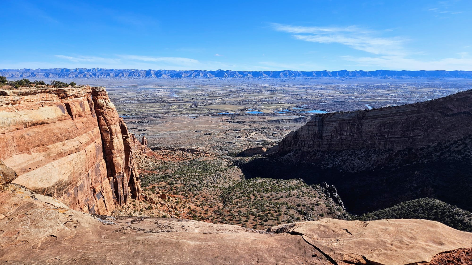
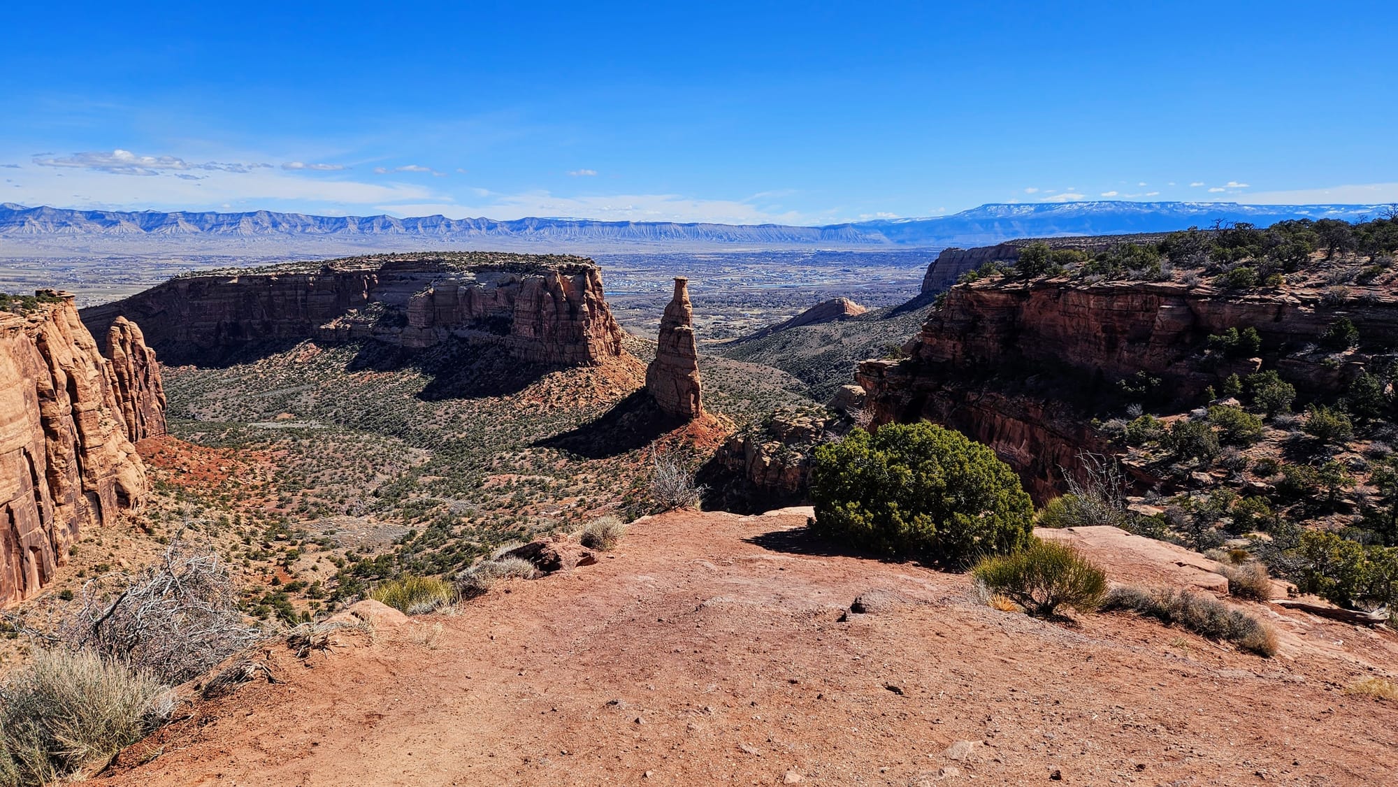
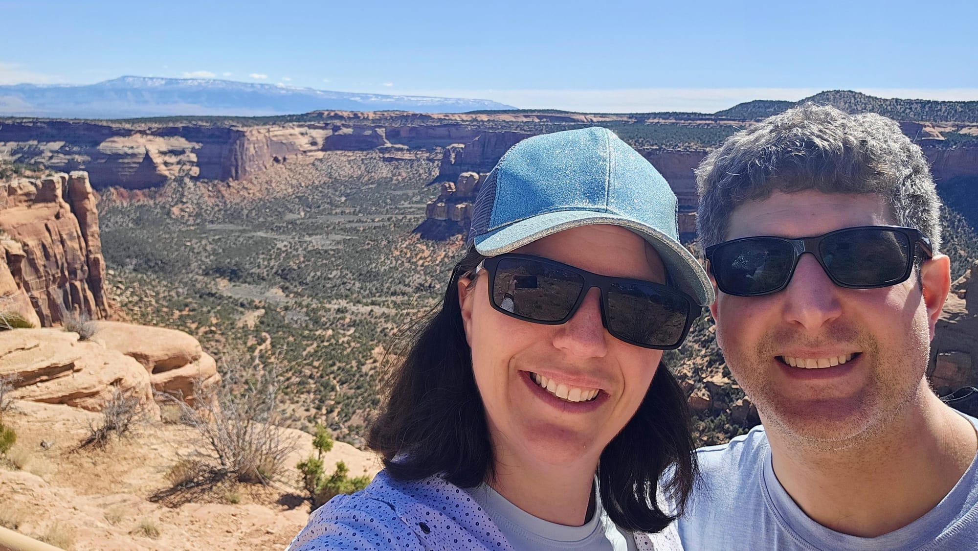
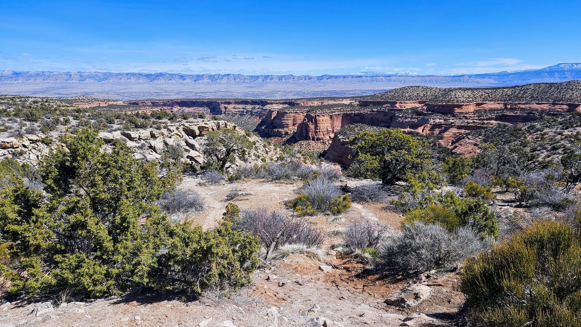
The main scenic drive through the park is Rimrock Drive, a 23-mile road that spans from Fruita in the west to Grand Junction in the east, and tops out at 6,640ft in elevation. We approached this park like we often do, planning a scenic drive with stops for viewpoints and hikes along the way. We chose our hikes not just for the scenery, but to give us a "rehearsal" for our redemption tour. We looked at trails that would increase our footing and balance, boost our stamina for distance, and acclimate us to higher elevations.
Our first stop was at the visitor center, where we caught the Canyon Rim Trail: 1.8 miles of mostly flat terrain, with a lot of bang for our buck. We extended our hike a little further so we could scout out the campground (which only fits tents and smaller RVs).
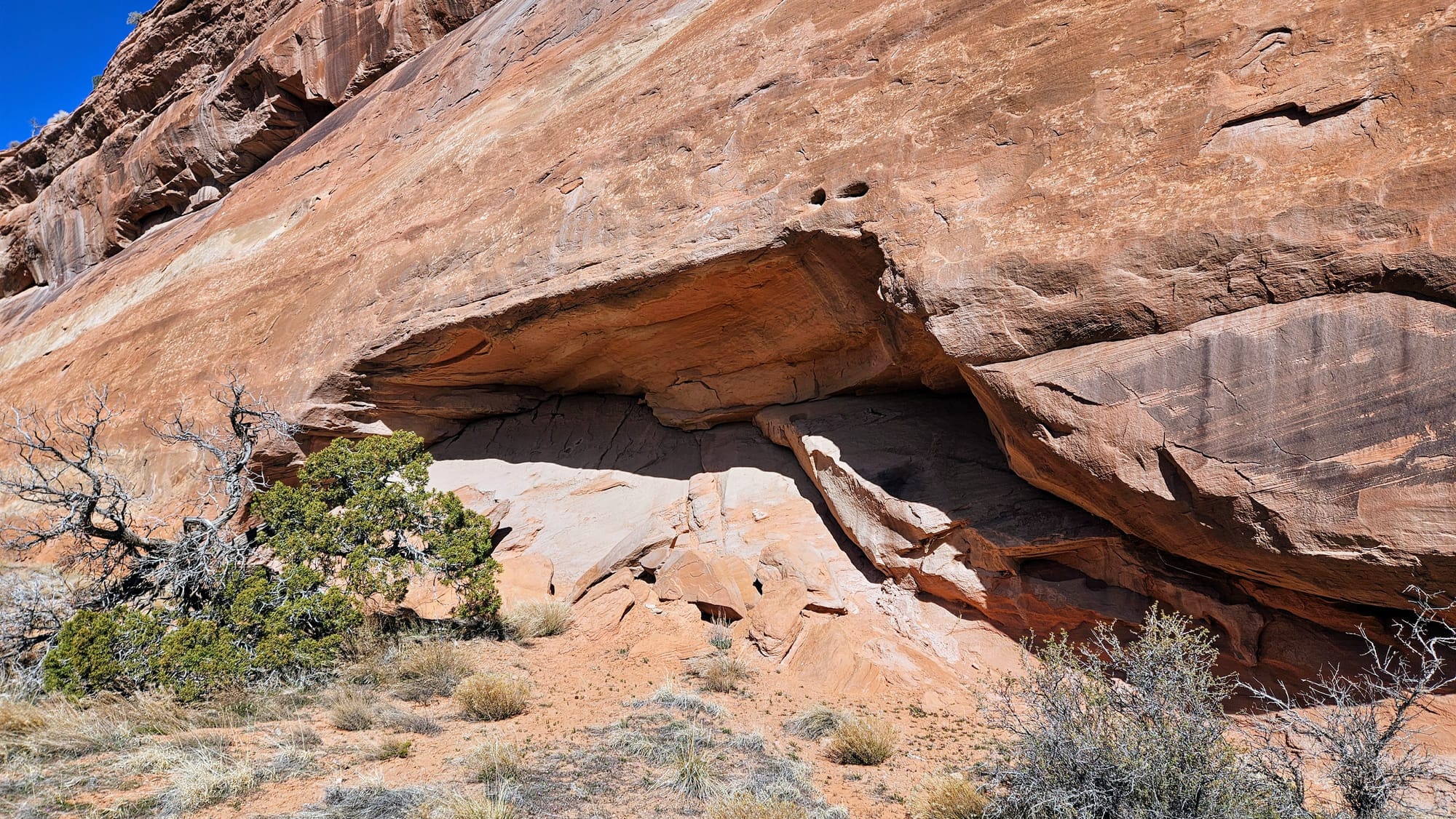
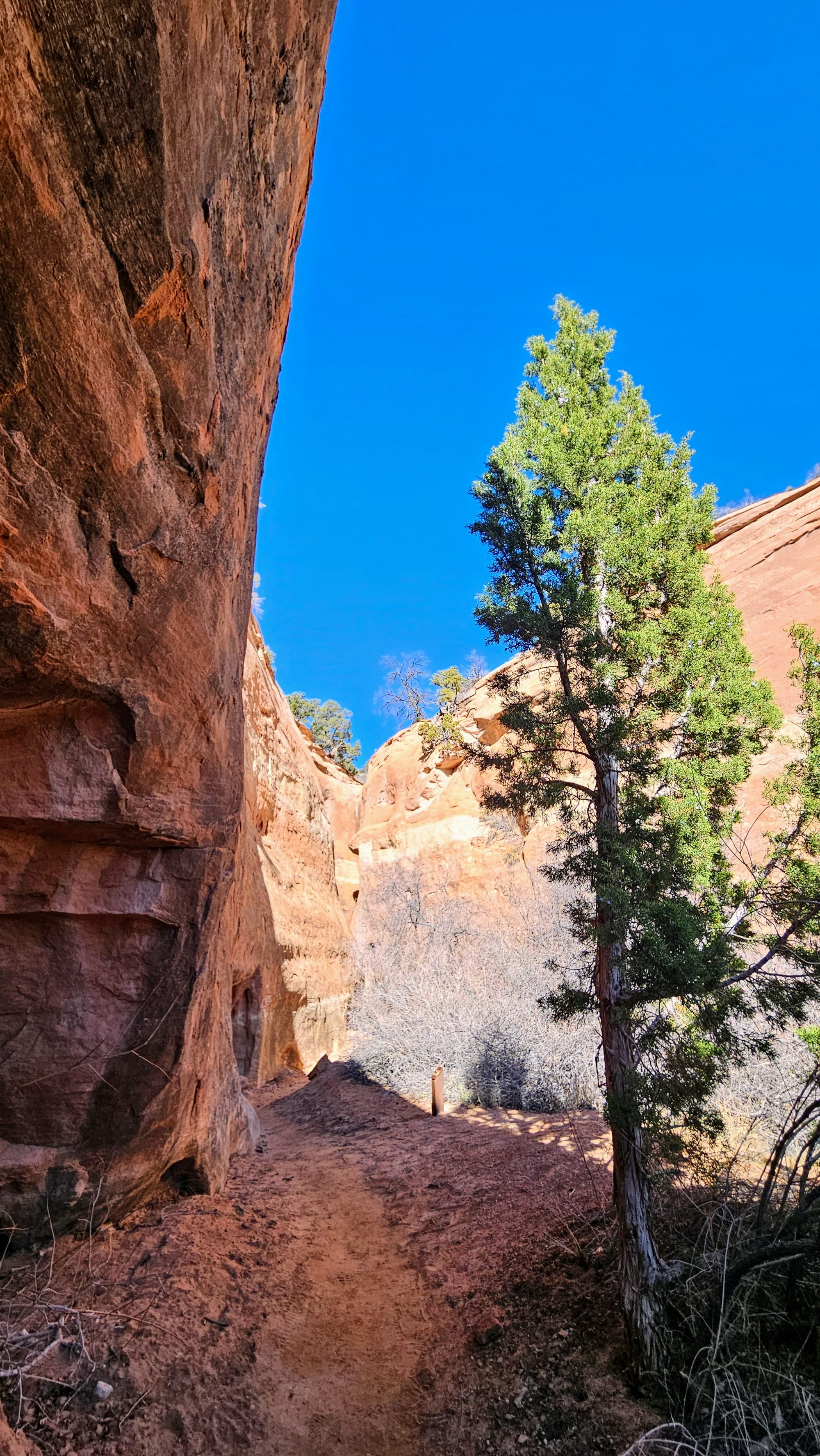
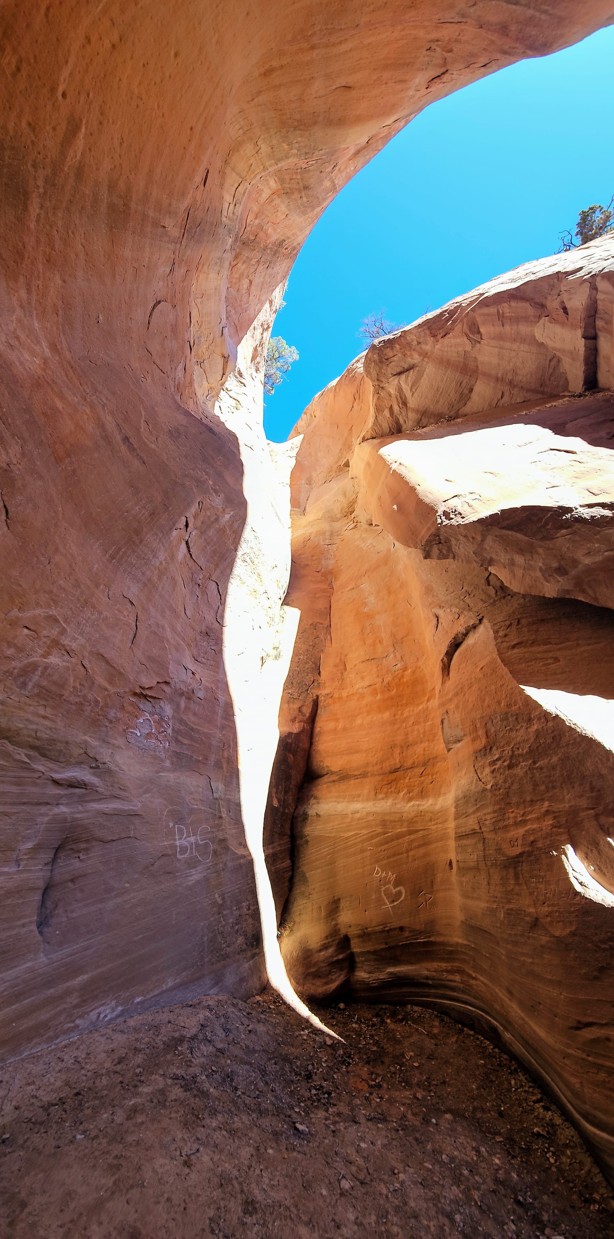
Once back at the visitor center, we continued our hike across the street at the Alcove Nature Trail. This is a short and easy discovery trail. It's not where you go for the views, but you get to walk up close and personal to rocks and plants. The trail is named after an alcove that marks the turnaround point. We got there at the perfect time of day to see the sunlight streaming in. Then on the way back, we took a short spur to the only canyon viewpoint on the trail.
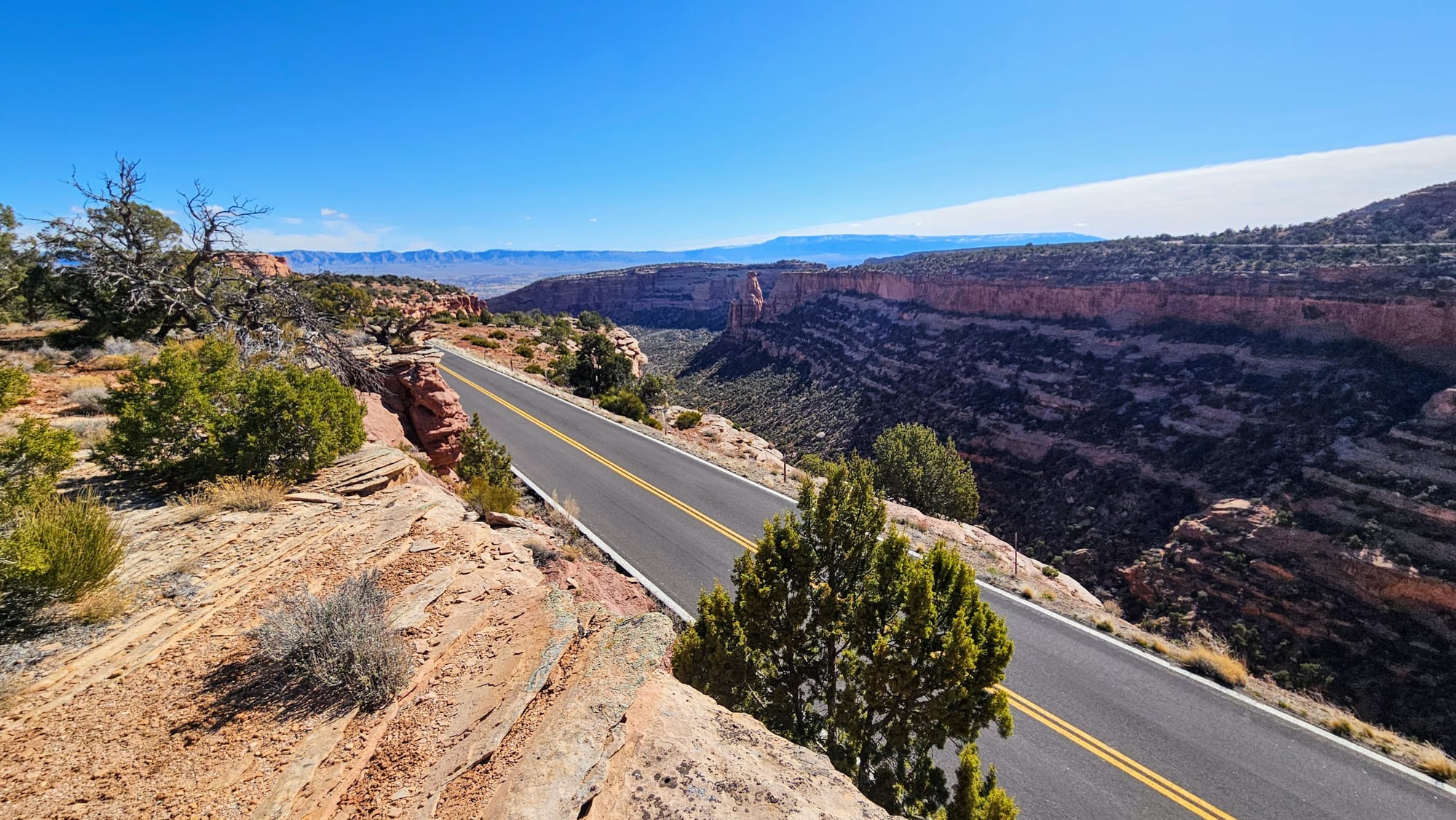
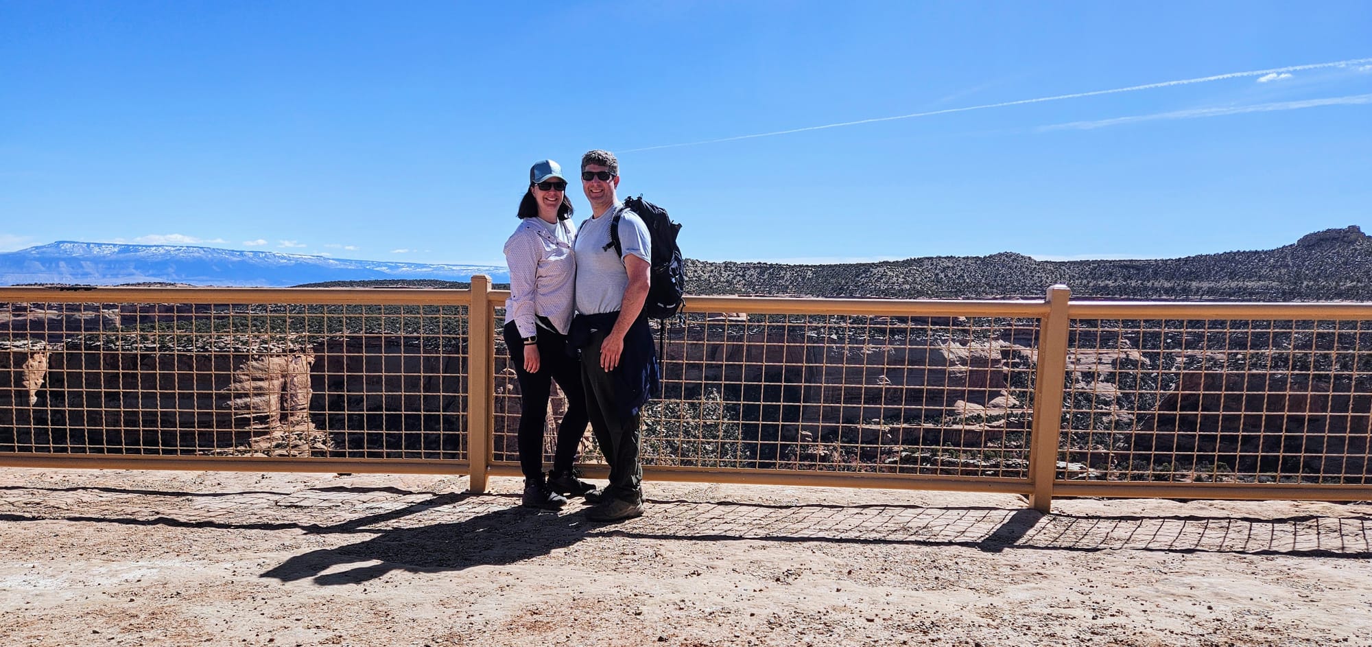
With about 3 hiking miles down, it was time to get our show on the road. We continued on our drive, stopping at various overlooks, many of which had short hikes as well.
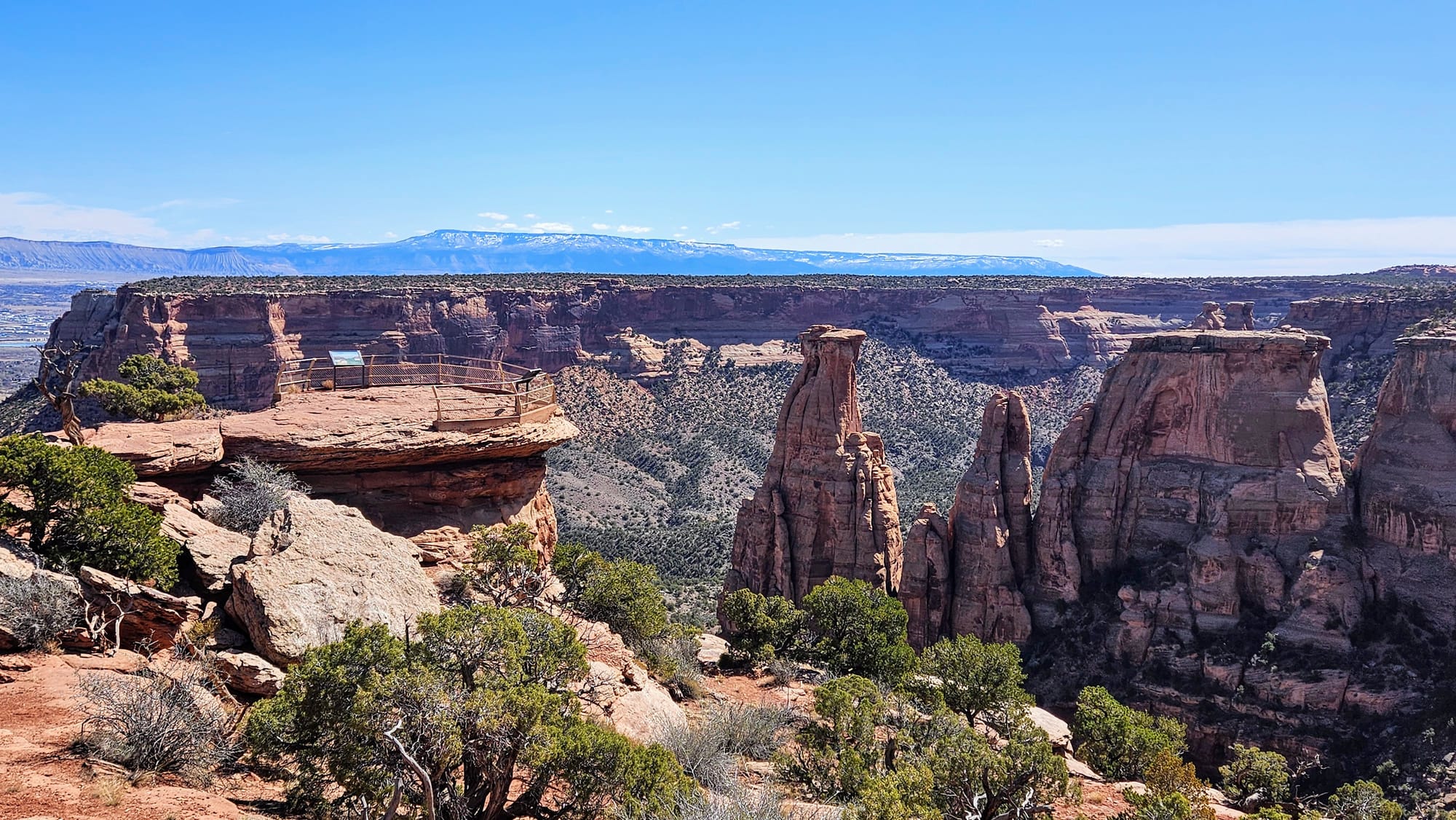
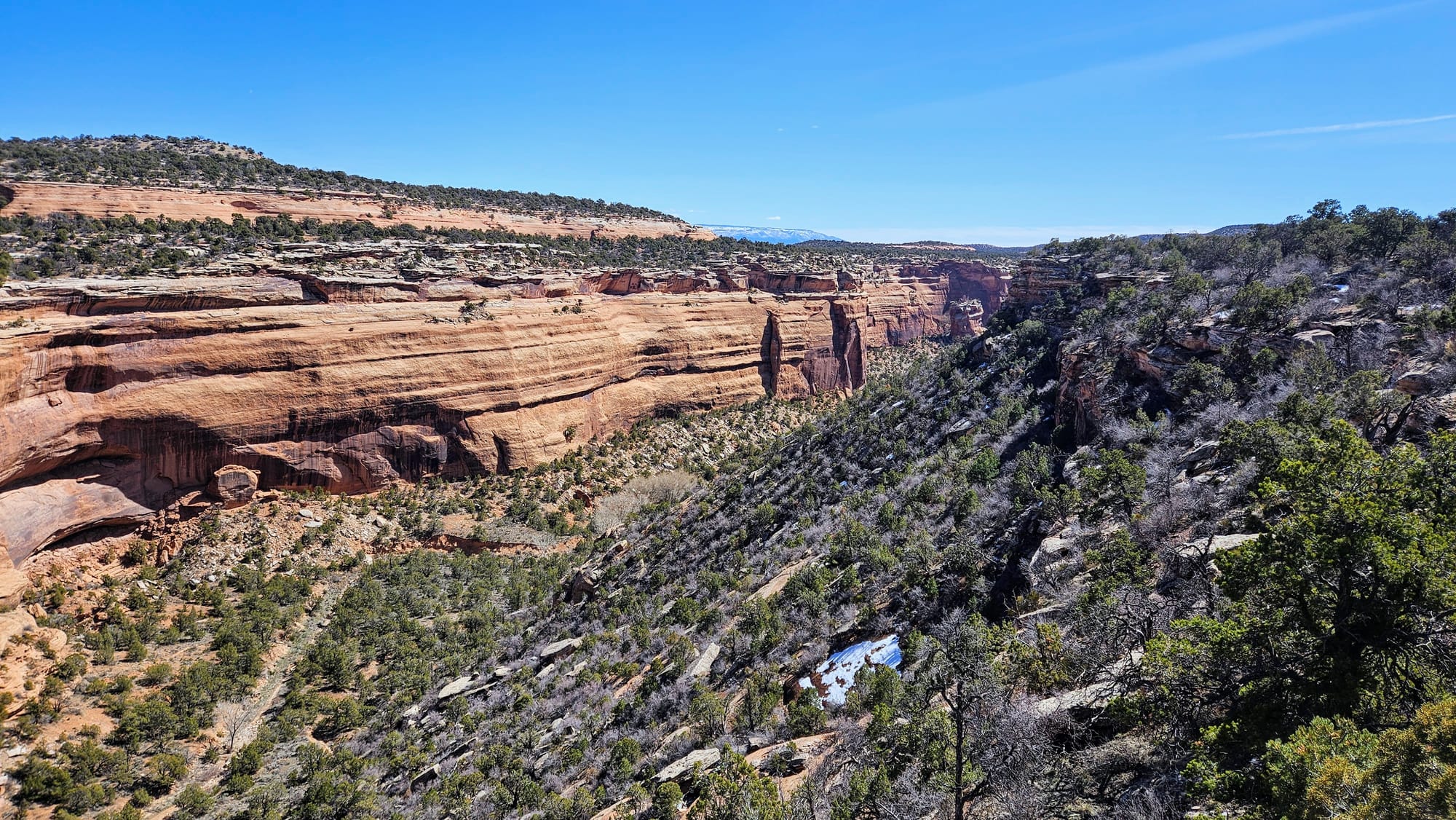
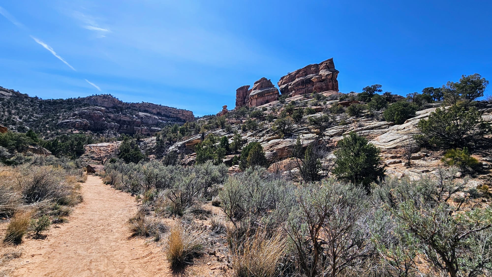
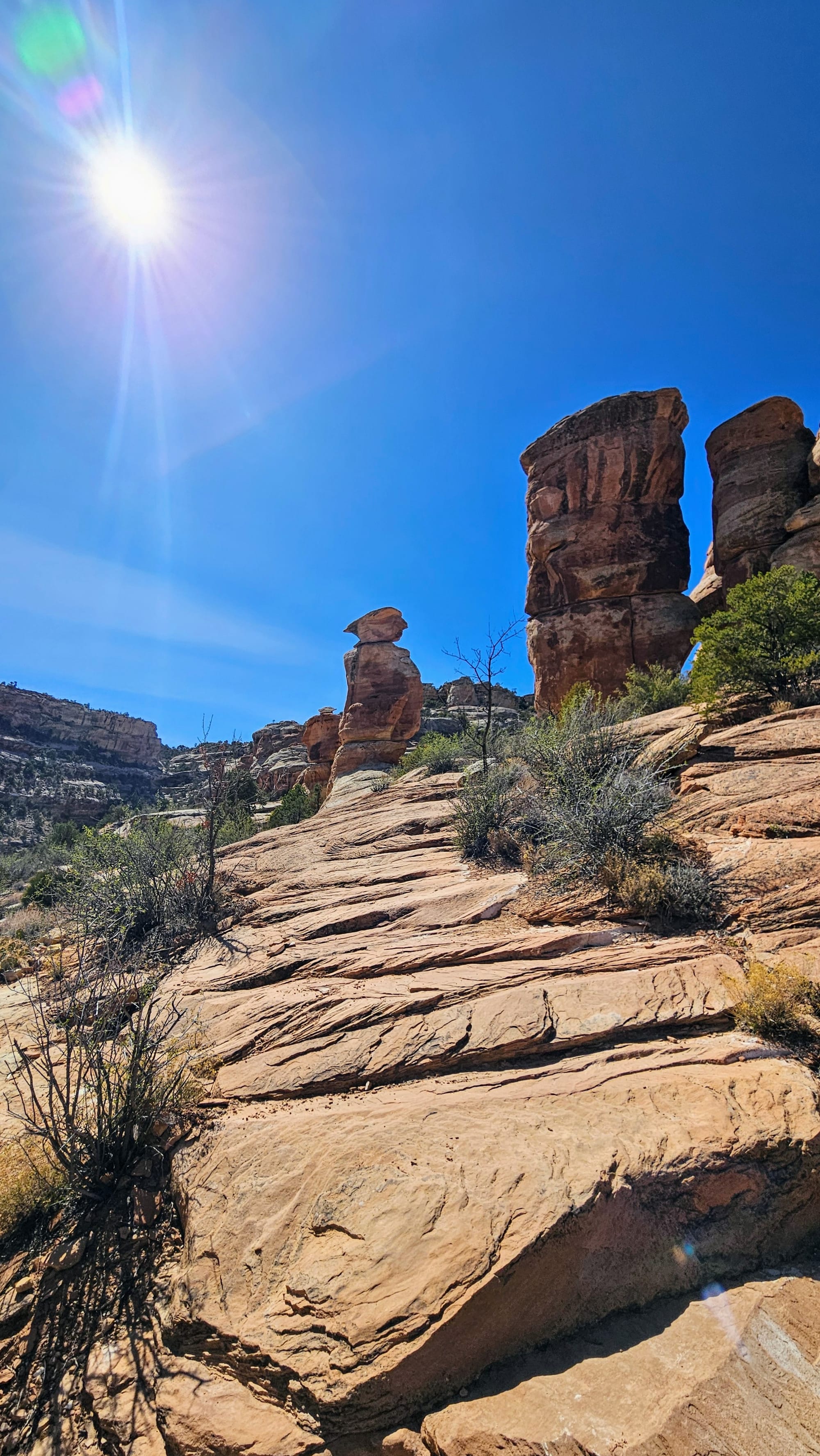
Otto's Trail:
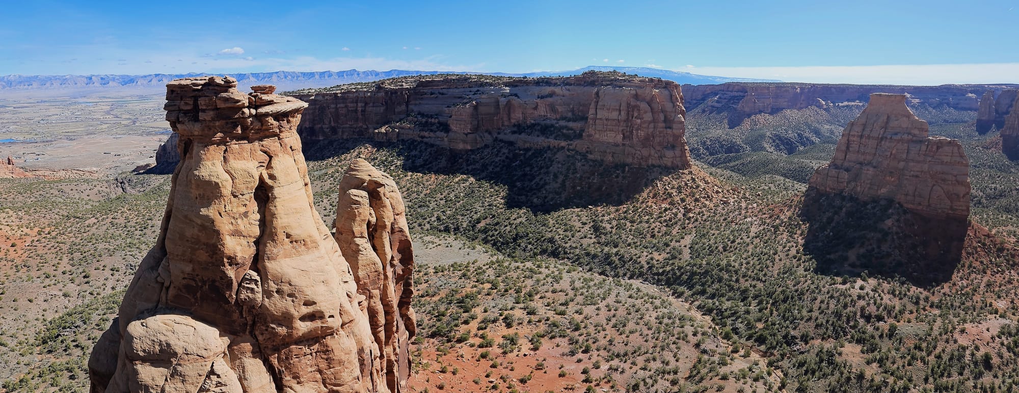
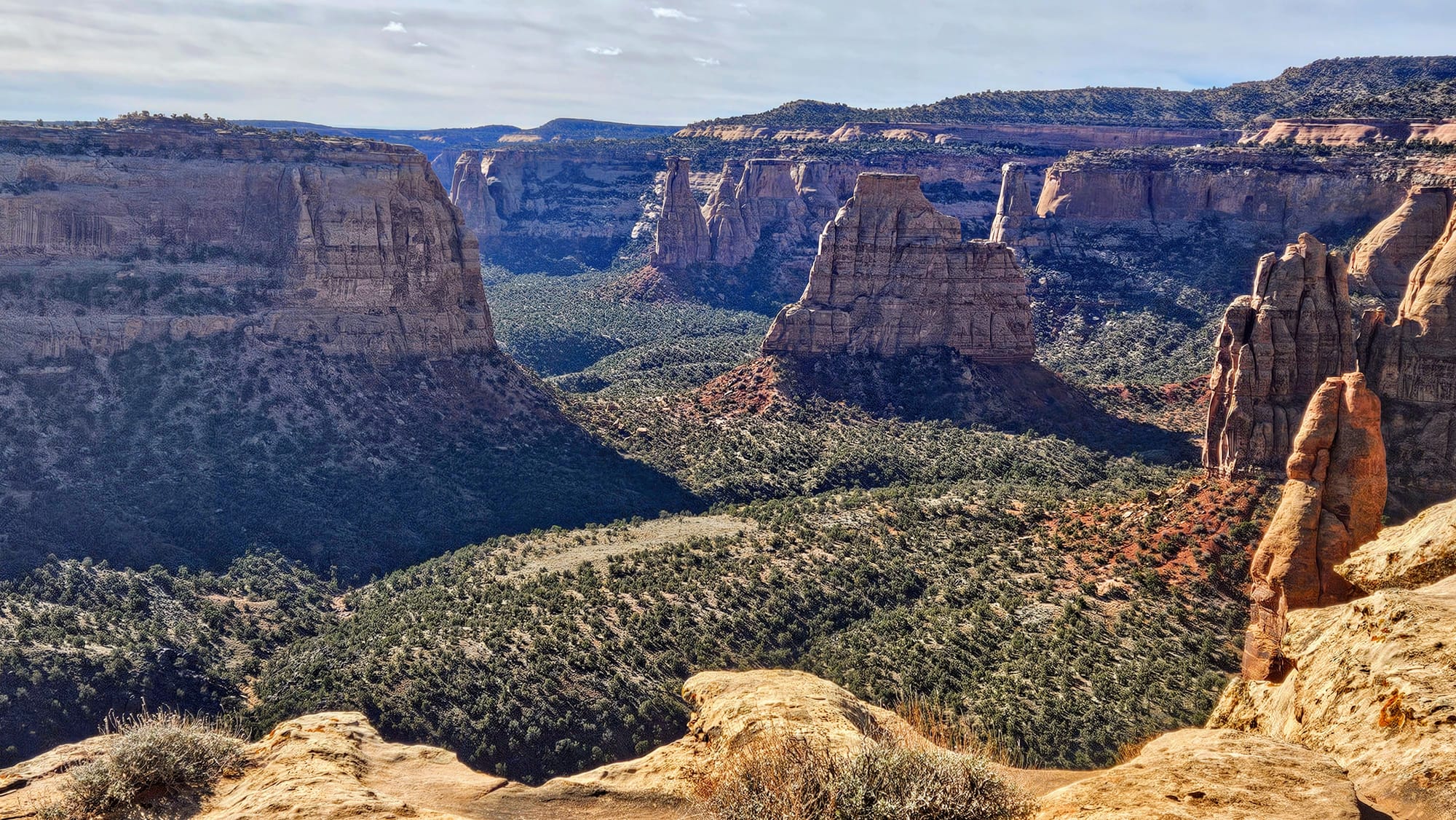
Otto's Trail is a .7mi path to a platform that offers panoramic views of the rocks, including a side view of Independence Monument.
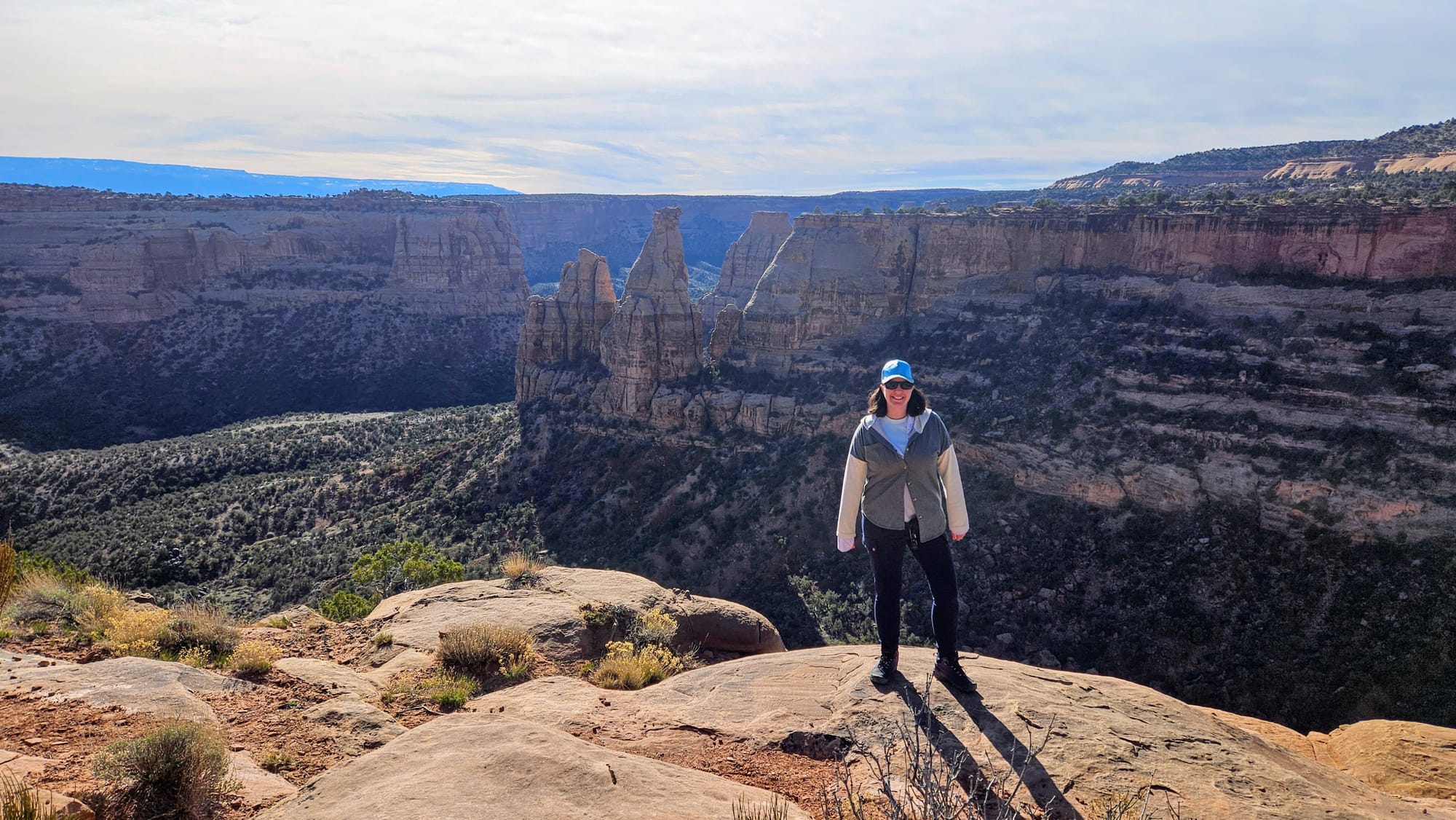
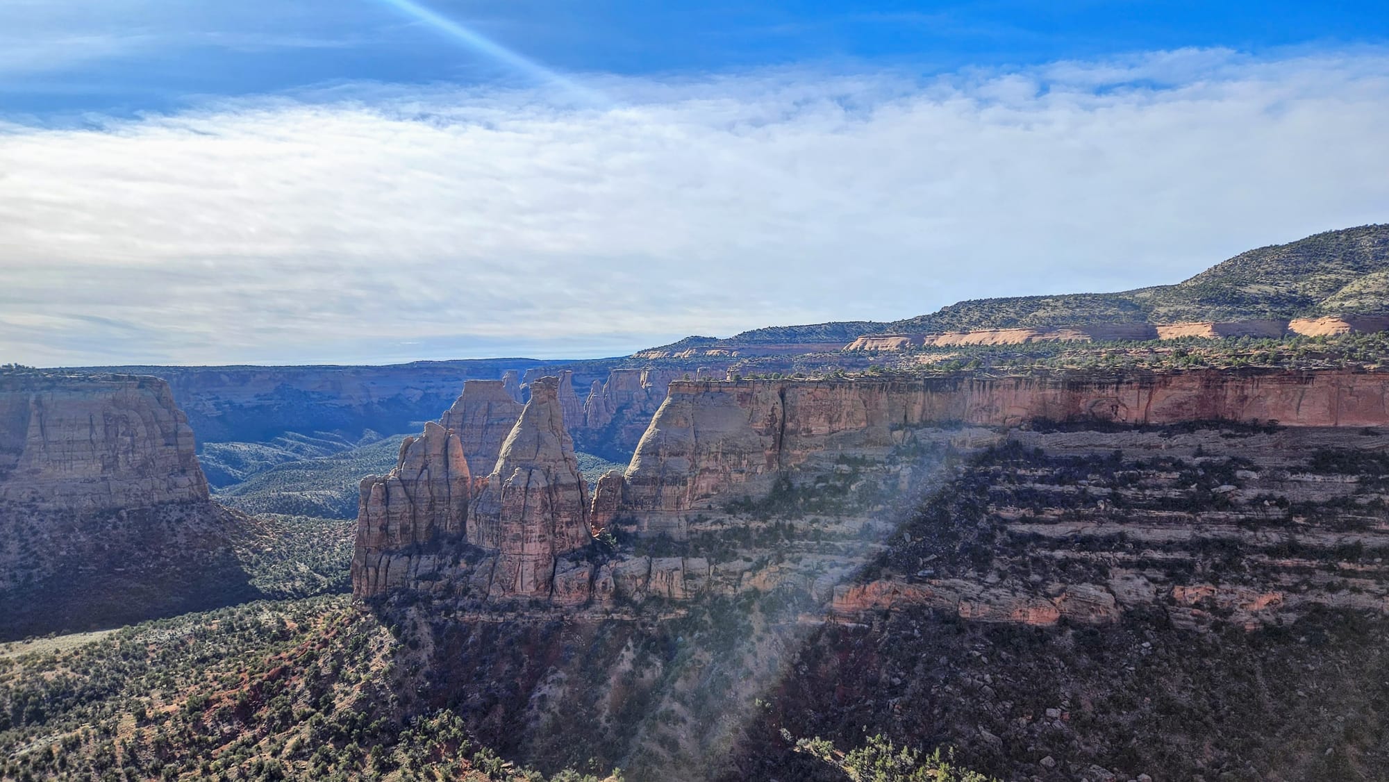
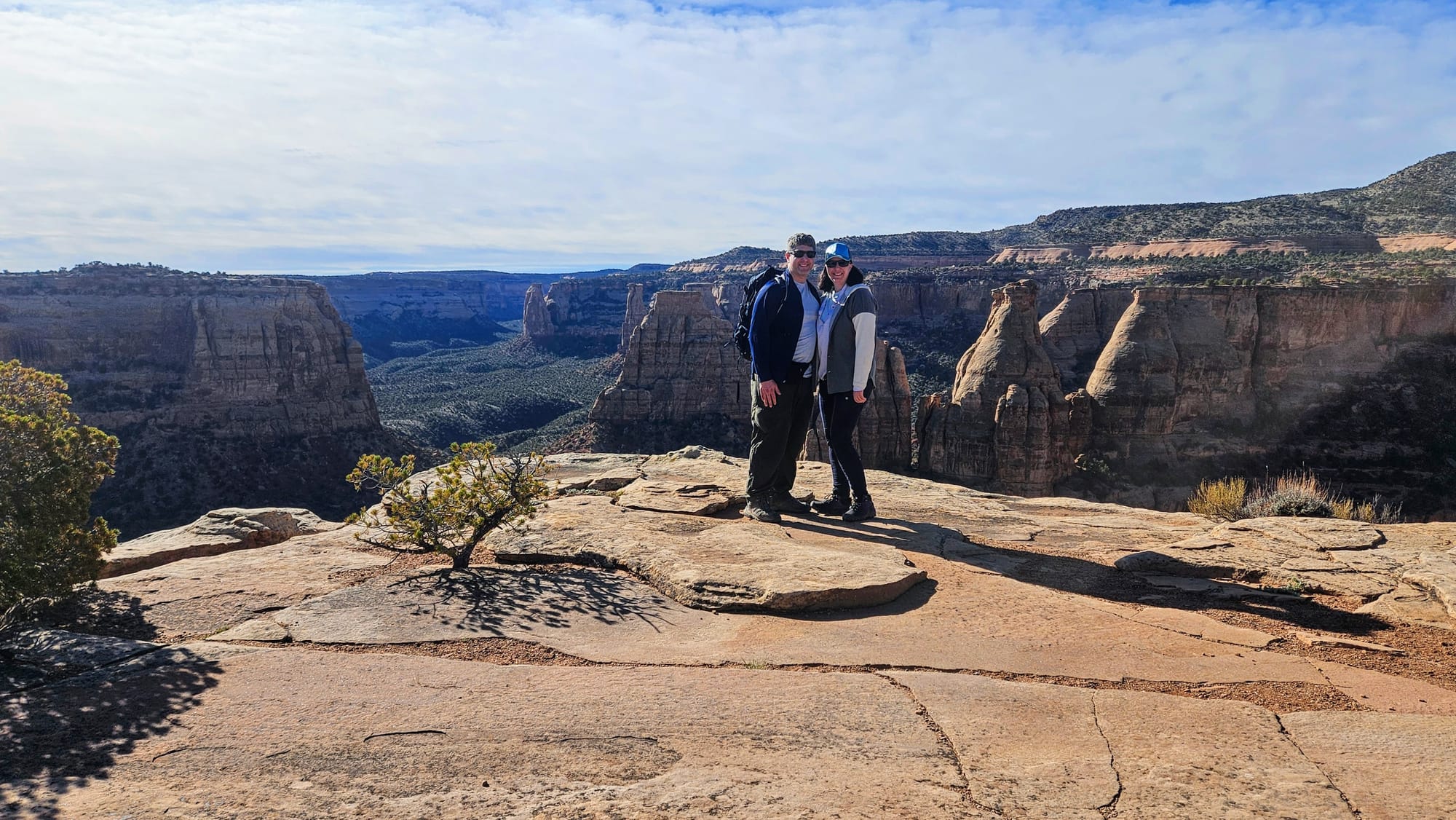
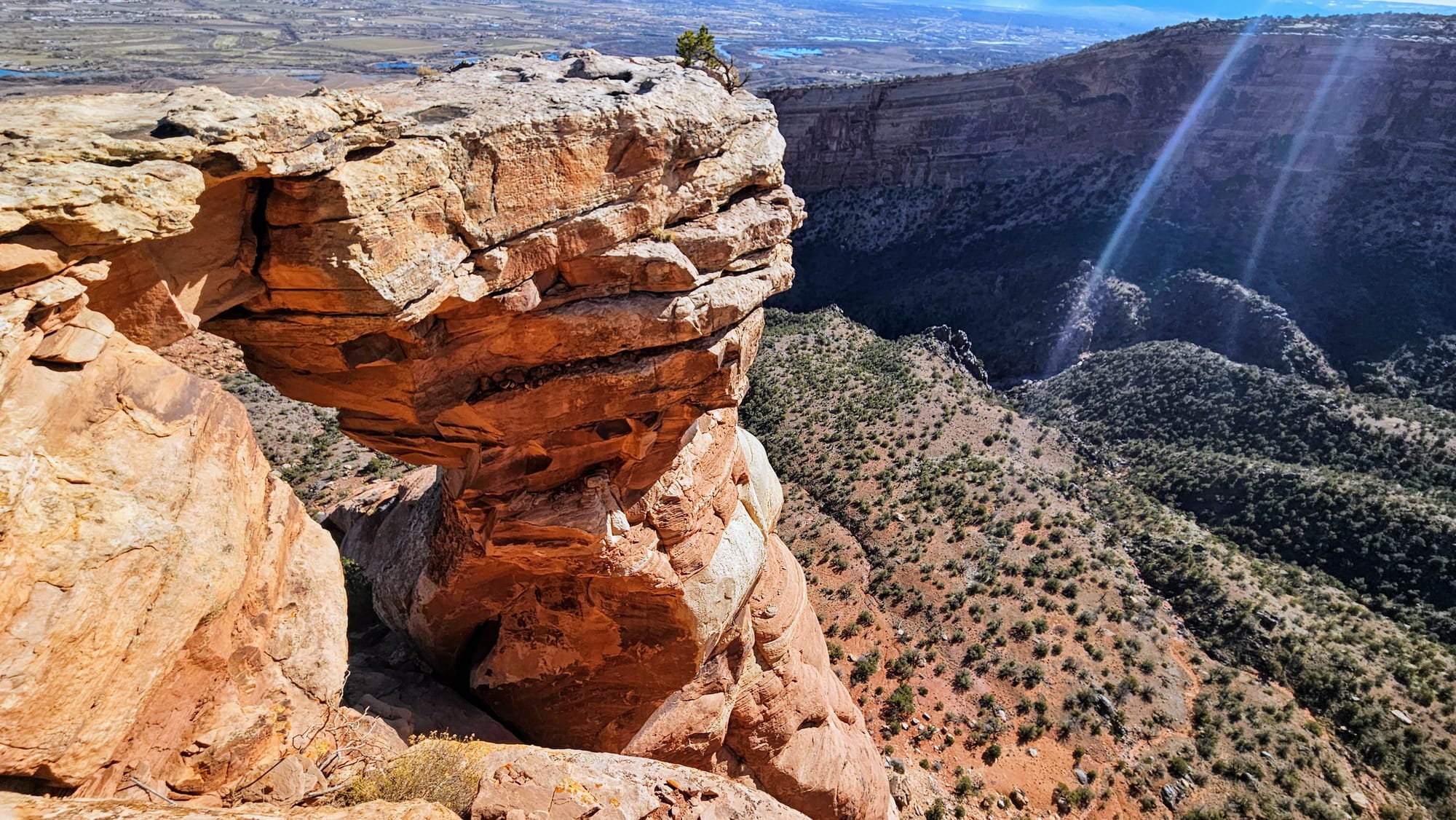
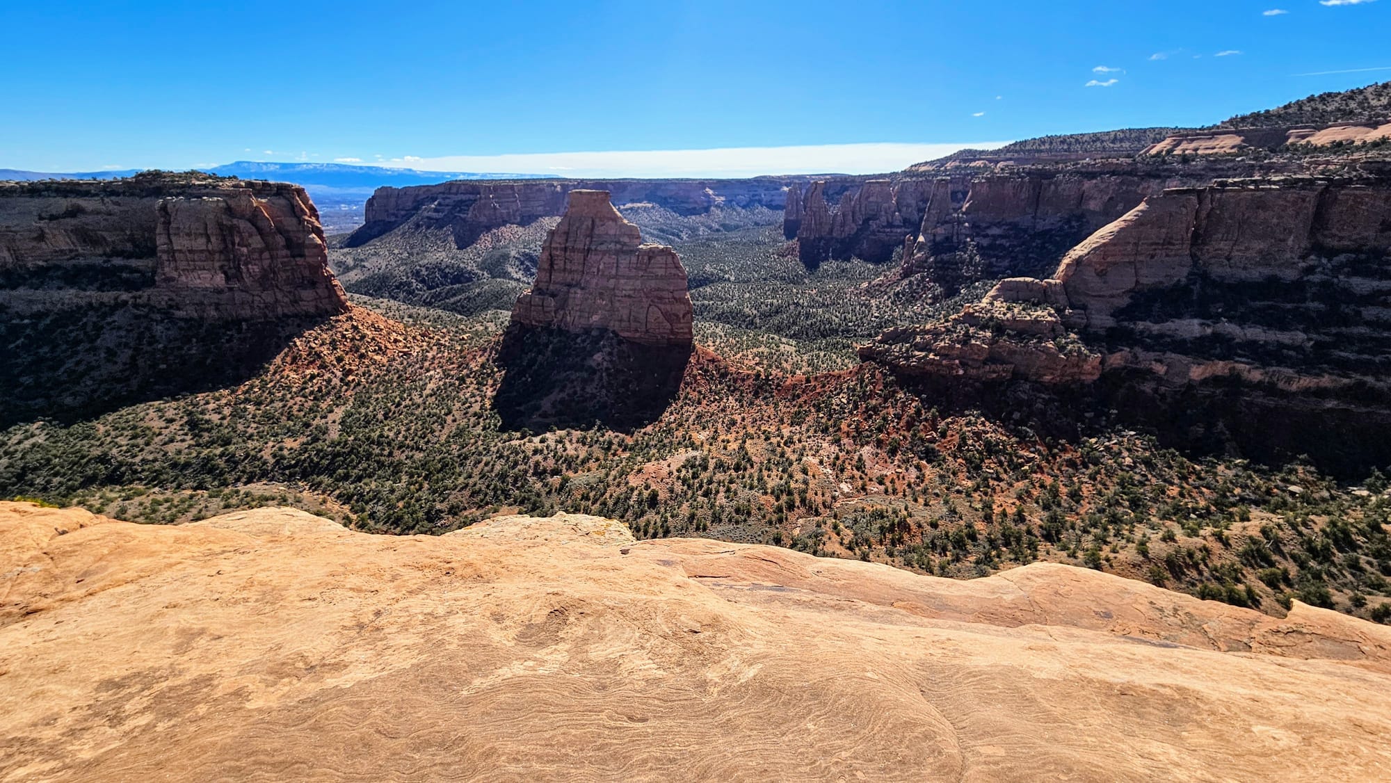
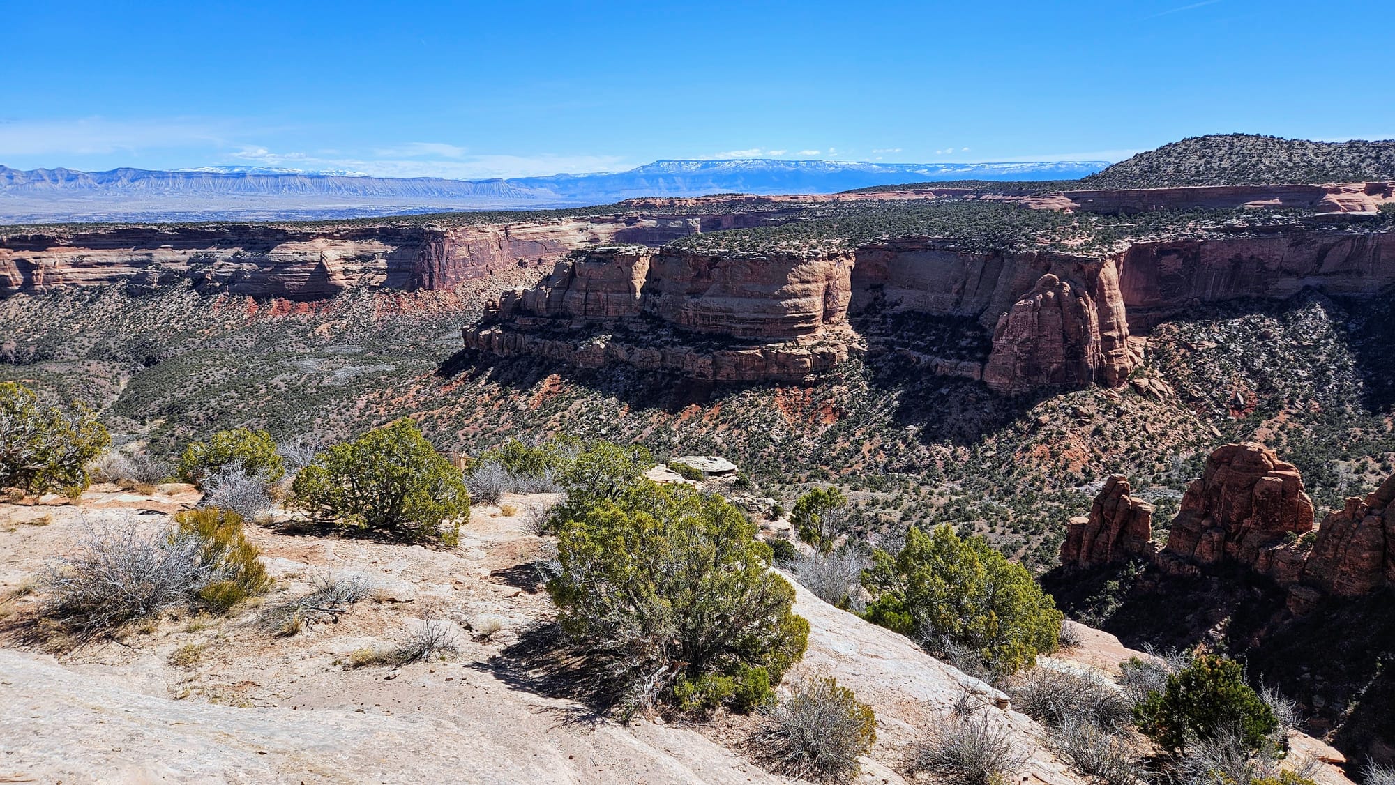
A little further up the road is the official Independence Monument Overlook, with views of the formation's front side.
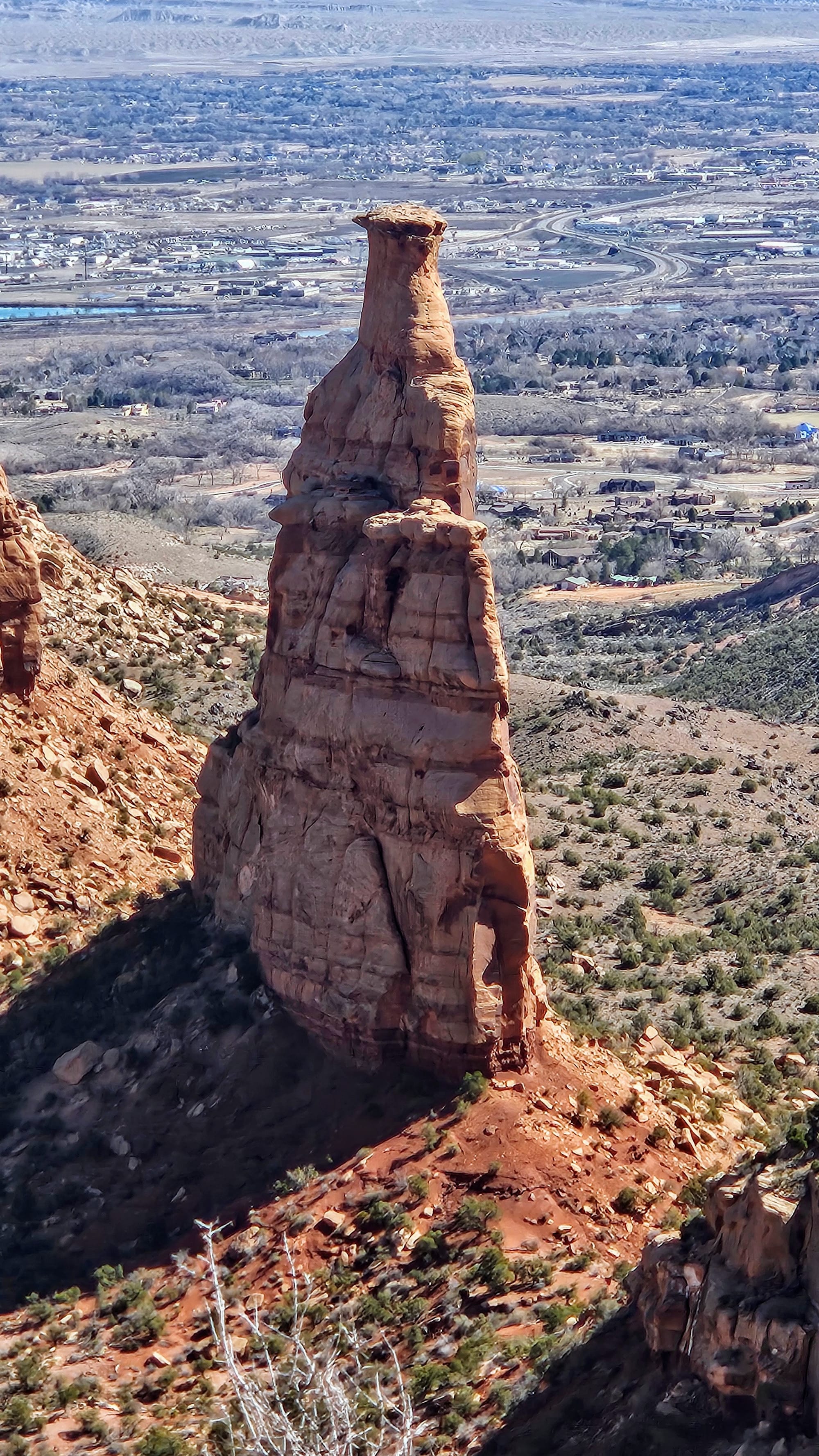
Fun fact about the history of Independence Monument: John Otto, the founder of CO National Monument, used to climb the monument every year on the 4th of July, planting an American flag when he reached the top. In order to accomplish this 450ft ascent, he would drill pipes into the side of the rock to create a ladder. At the overlook, we were able to see remnants of his tracks up the side of the monolith.
Our remaining longer hike of the day wasn't until we got to the other end of the road, but we had plenty more overlooks to stop at along the way.
Grand View:
Coke Ovens:
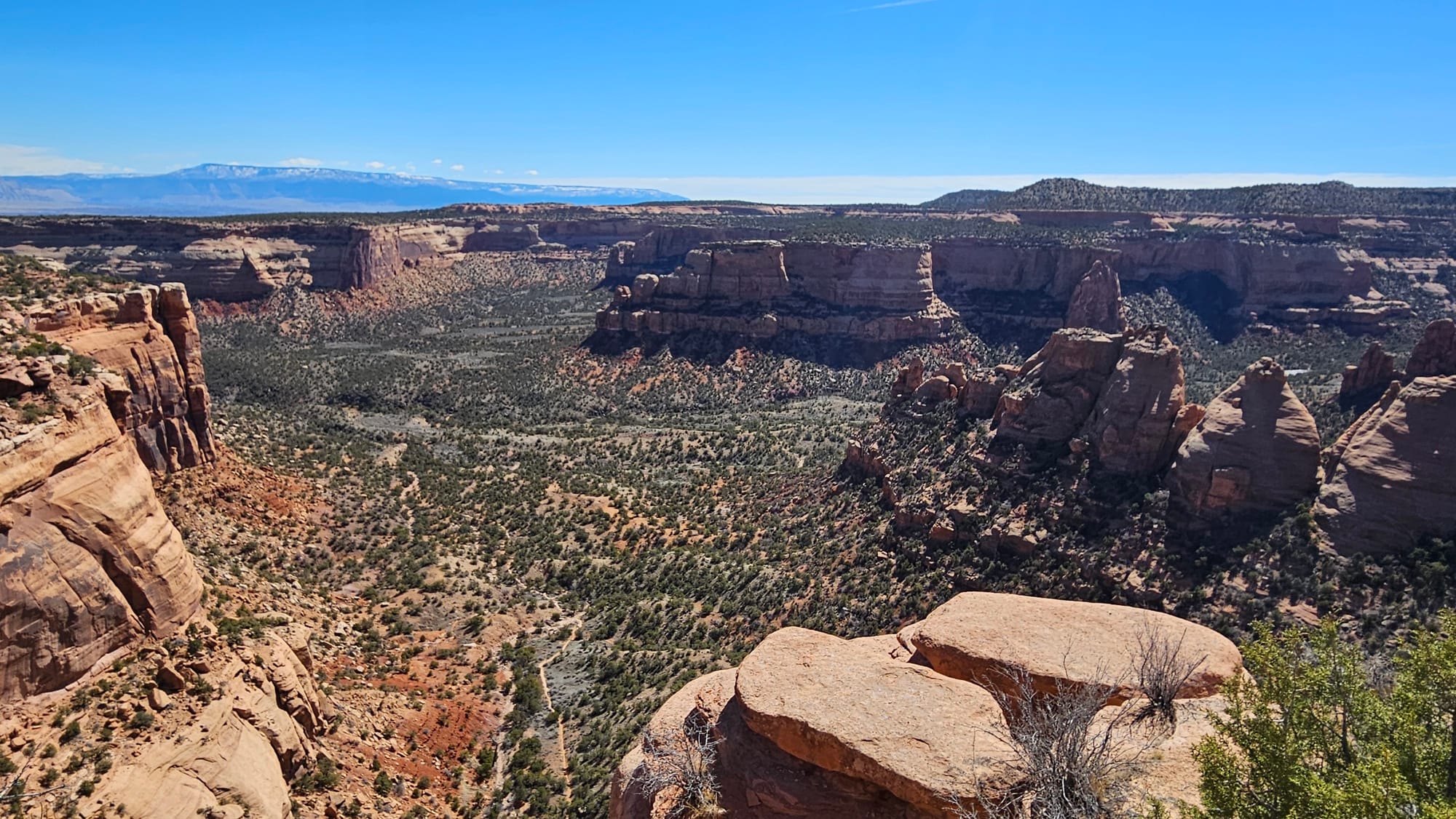
Artists Point:

Highland View:
Upper Ute Canyon:
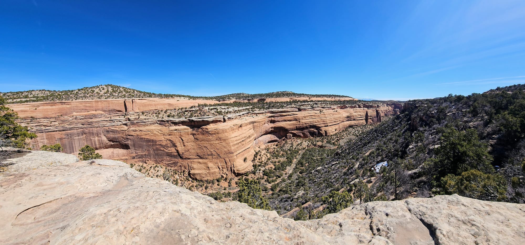
Red Canyon:
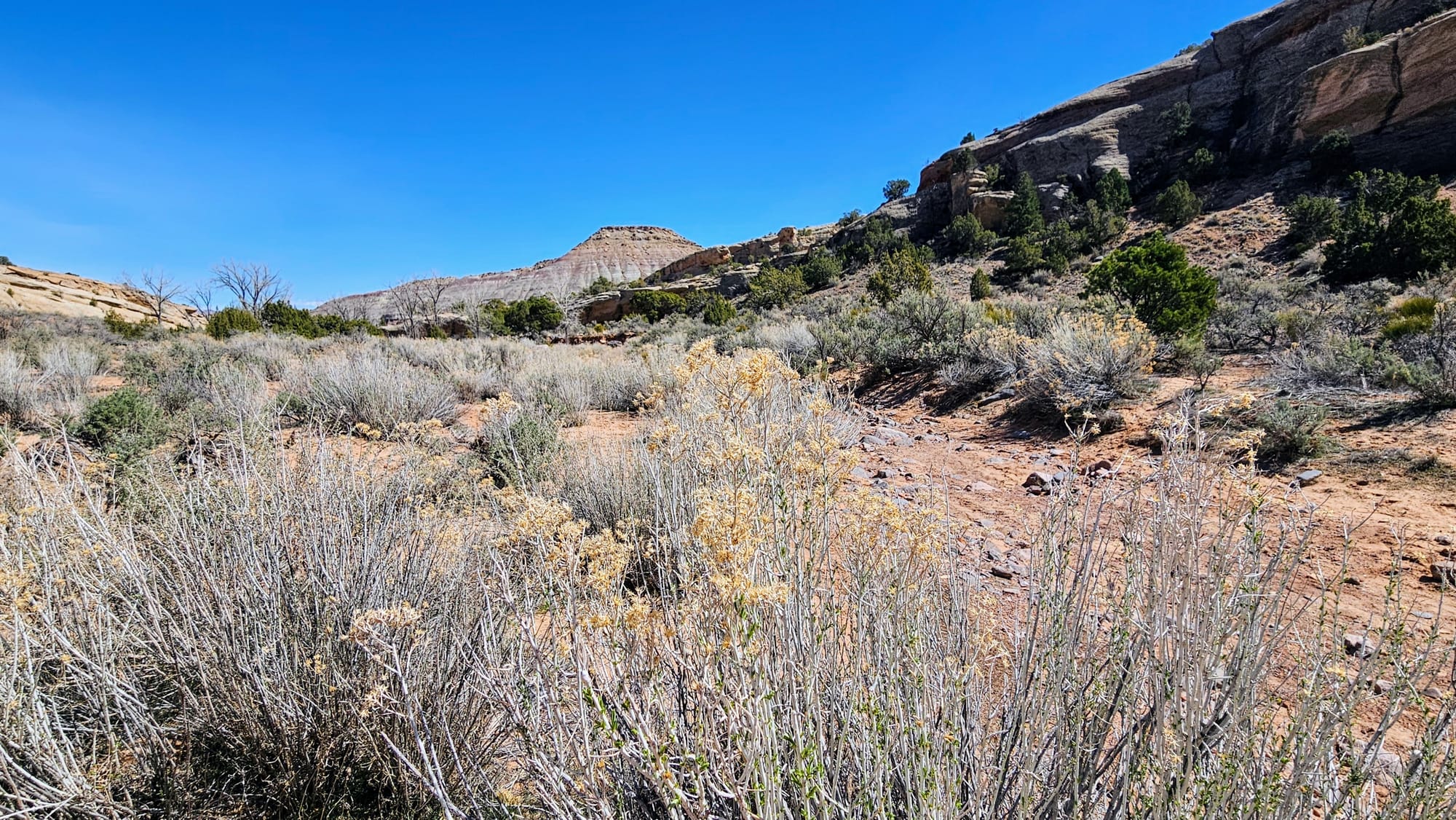
After getting ample views from above, we descended on the east side of Rimrock Drive and embarked on our final hike of the day, which would take us among some of the rock formations known as Devils Kitchen. The trail is 1.5 miles out and back, with moderate elevation gain and a scramble at the end.
The trail started off well-marked, but by the time we came to the scramble, we had no idea where to go. A sign pointed us straight and up the rocks, but after climbing, the All Trails map said we were off-course. A family came up behind us and took a path before the rocks, off to the left. We decided to try that instead. After walking a ways, we checked the map, which showed us that we were off-course again. What should have been a fun final hike turned frustrating.
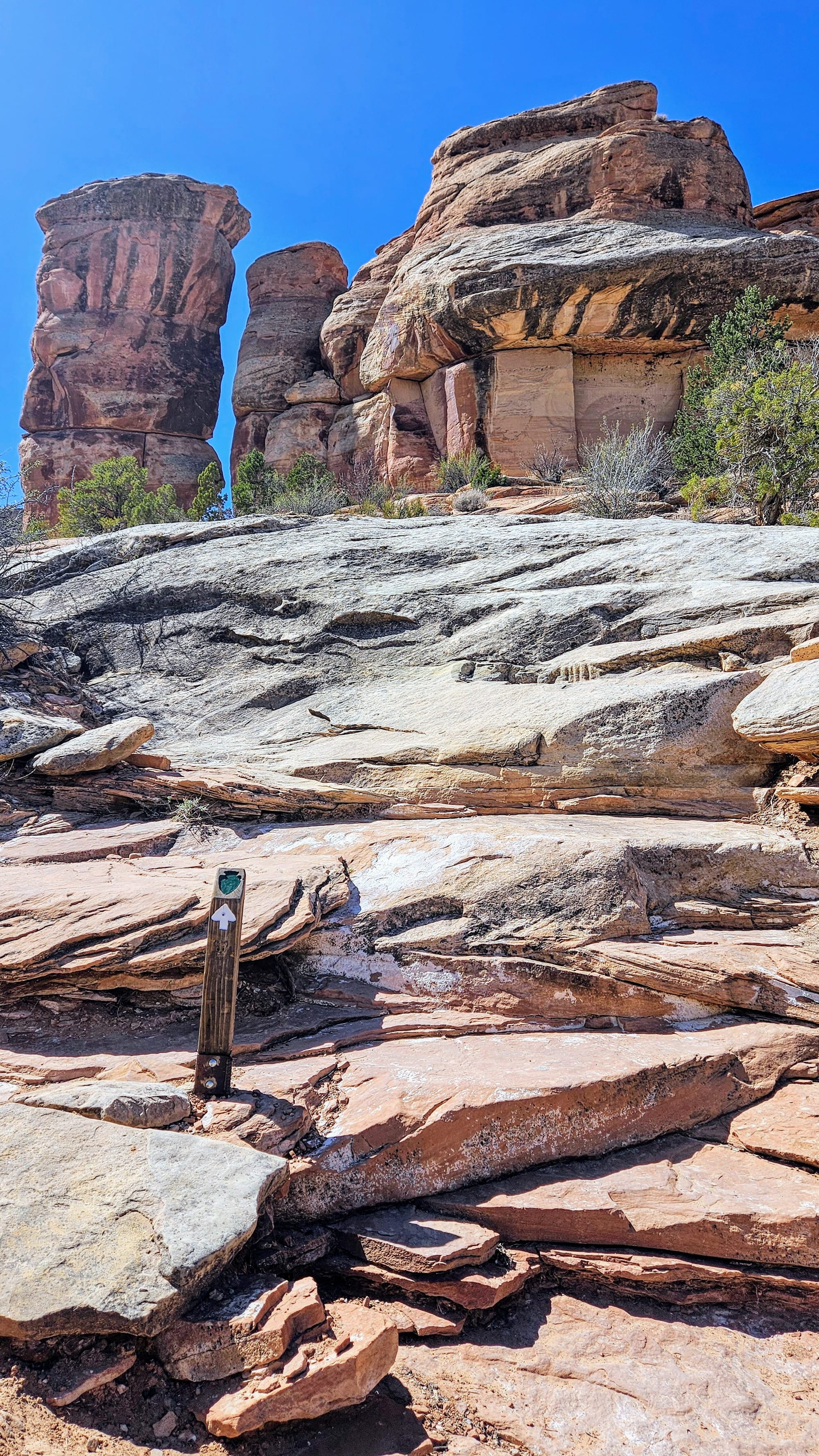
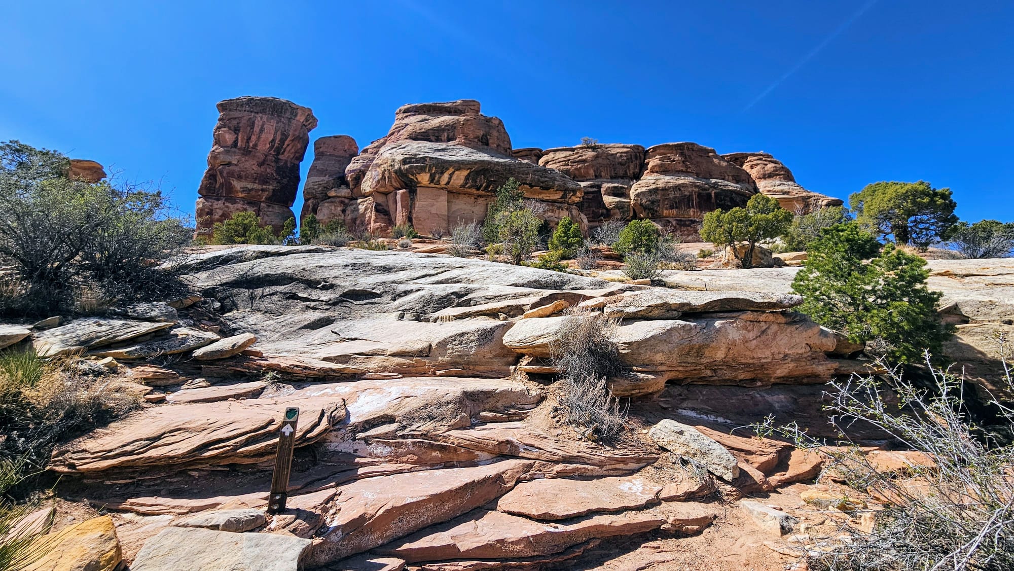
We had already gone further than we were supposed to, and the family we thought we could follow ended up just playing on some rocks without going further. Later, we overheard them tell another hiker that they "think they found Devils Kitchen," but according to the map, they didn't. The hiker, who had done the trail before, made it sound like either the scramble or the left path would bring people to Devils Kitchen, but we lost the trail both times. We wish we could have hiked among the formations, but at least we had plenty of opportunities for that coming up at the Mighty 5.
We cut our losses and headed back to the truck, though it took a while to even find the marked trailhead again.
While this wasn't the way we wanted to end our time in Colorado National Monument, we felt good about our "rehearsal" for the Utah Redemption Tour. Between these hikes and all our walks at the state park, we began feeling stronger in our legs. This was much welcome after two weeks of no hiking during our preparation and displacement for our axle appointment.
On Tuesday, March 25, we packed up and headed out of Colorado and back to Utah. It was time to finally begin our most anticipated adventure of the year. If our destinations were anywhere near as beautiful as CoNatMo, we were in for a fantastic ride.