Day Hiking the Smokies

We love hiking and thought the RV life would bring us ample opportunities to lace up our boots. However, between the relentless heat that seems to catch up to us wherever we go, and the fact that this is just normal, busy life, we haven't hit the trails as much as we'd hoped. We were looking forward to changing that in the Smokies. We couldn't wait to plan our treks to some of the most beautiful vistas in the eastern part of the US. Perhaps we were a little too optimistic there, too. We had a tough time deciding which trails we wanted to do. There are so many articles advising on the "must-do" Smokies trails, and it's pretty overwhelming. Besides, most of the trails led to waterfalls, which I'm sure are beautiful, but being in the Blue Ridge Mountains for a month, we had kind of seen our fair share of waterfalls already. We wanted something unique, but we also weren't able to take longer, challenging hikes. Our week off from work was designated mainly for enjoying the attractions at Pigeon Forge and Gatlinburg, so the next couple of weeks we were extra busy. I was catching up on work and Anthony was starting his new job. I also had a pretty serious calf muscle pull, thanks to the single rail mountain coaster of death, which you can read about here. Because of these constraints, we found that scenic driving with a few short hikes thrown in was the best fit for us.
We couldn't leave the Smokies without doing some "real" hiking, though, and looking back, we're pretty content with our choices. We know we'll return to the Smokies at some point to do some of the trails that remain on our list, but for now, we got a taste of what's offered in the area. While we did do some shorter hikes here and there, we're going to only talk about three hikes that covered the spectrum of what you can expect from the Smokies: a water feature hike, a history hike, and a mountain hike.
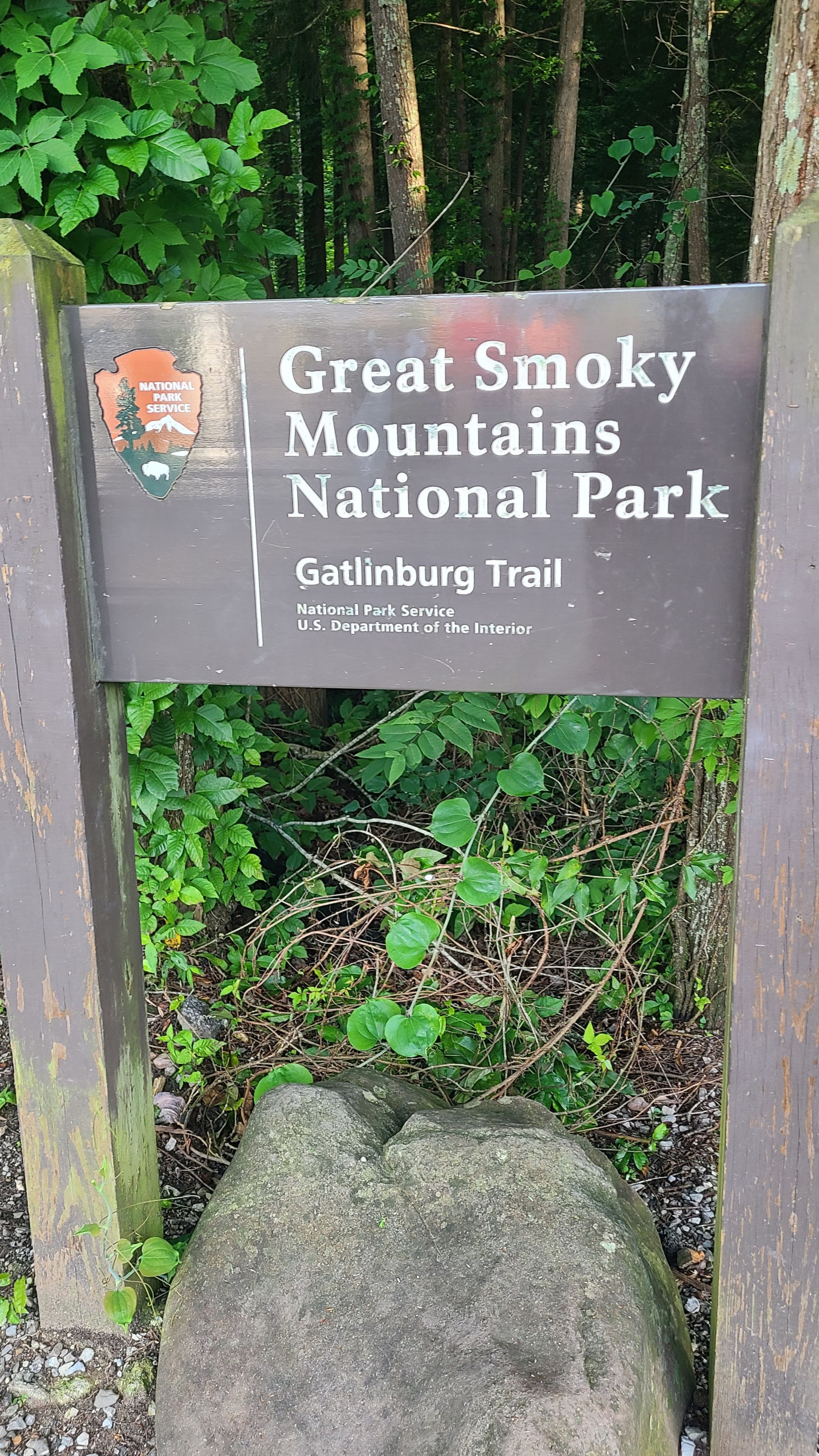
Water Feature Hike: The Gatlinburg Trail
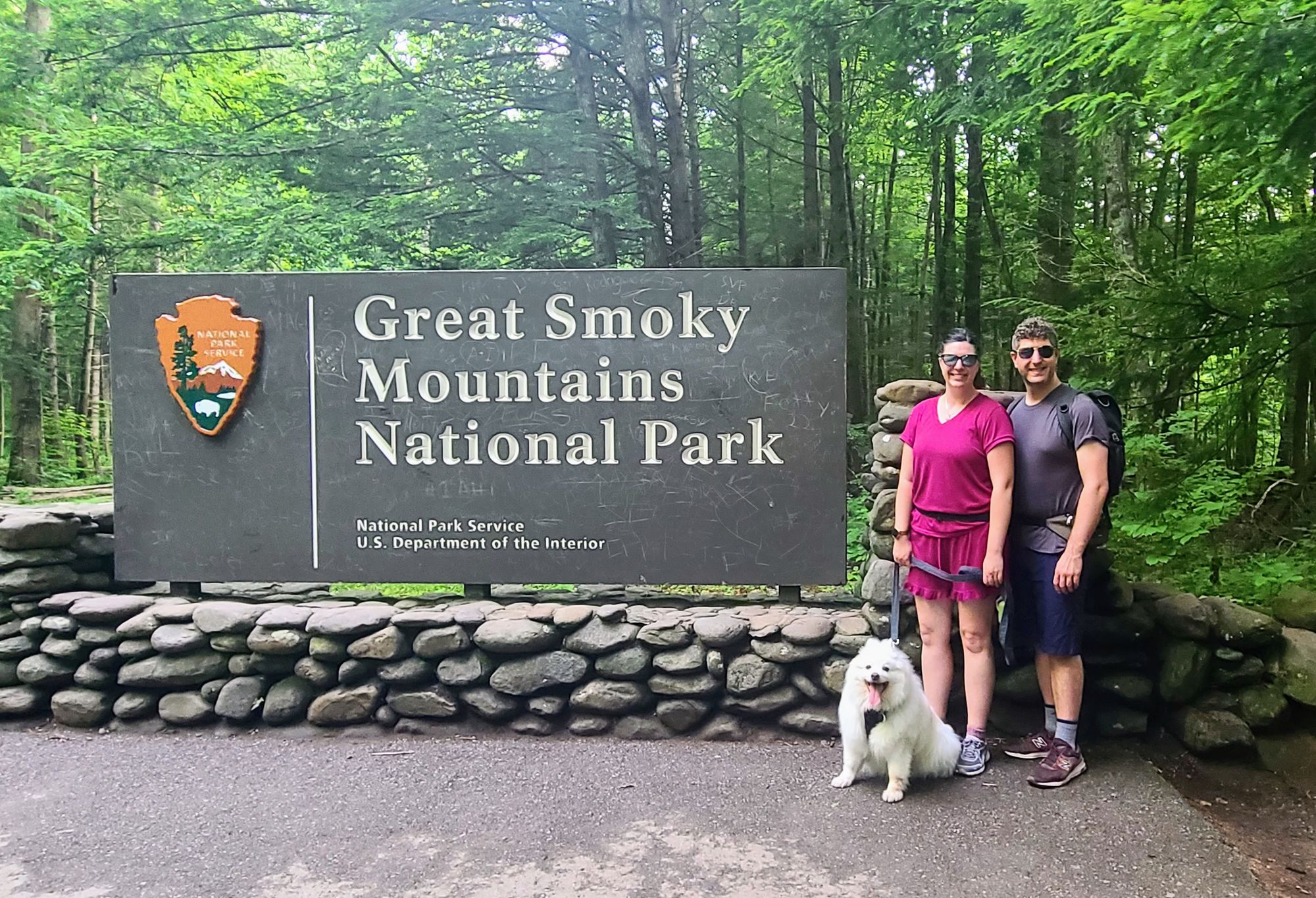
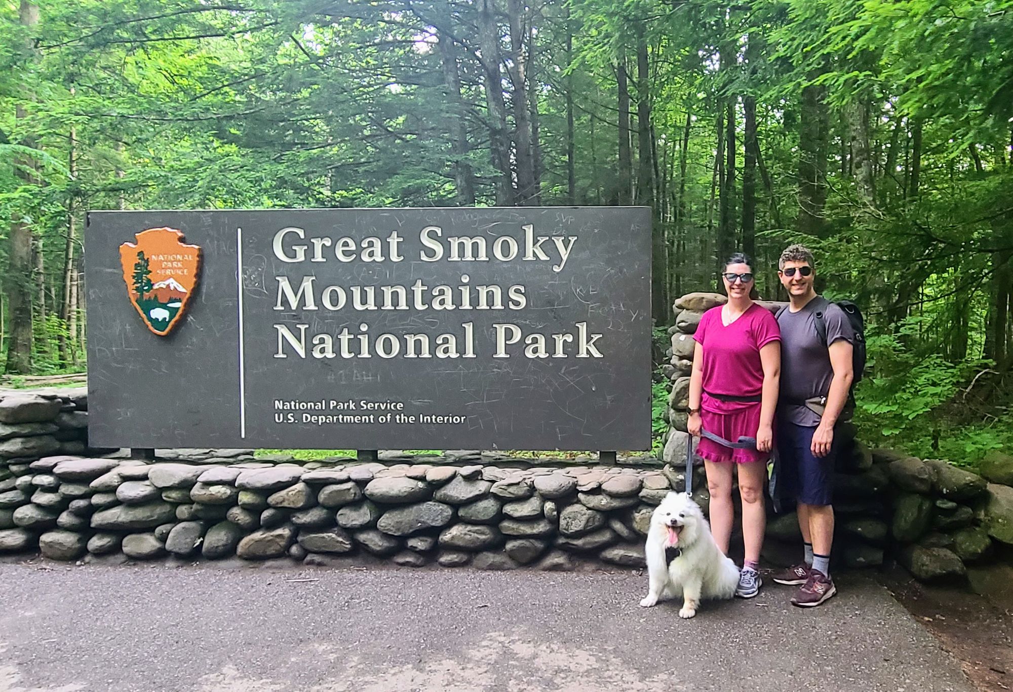
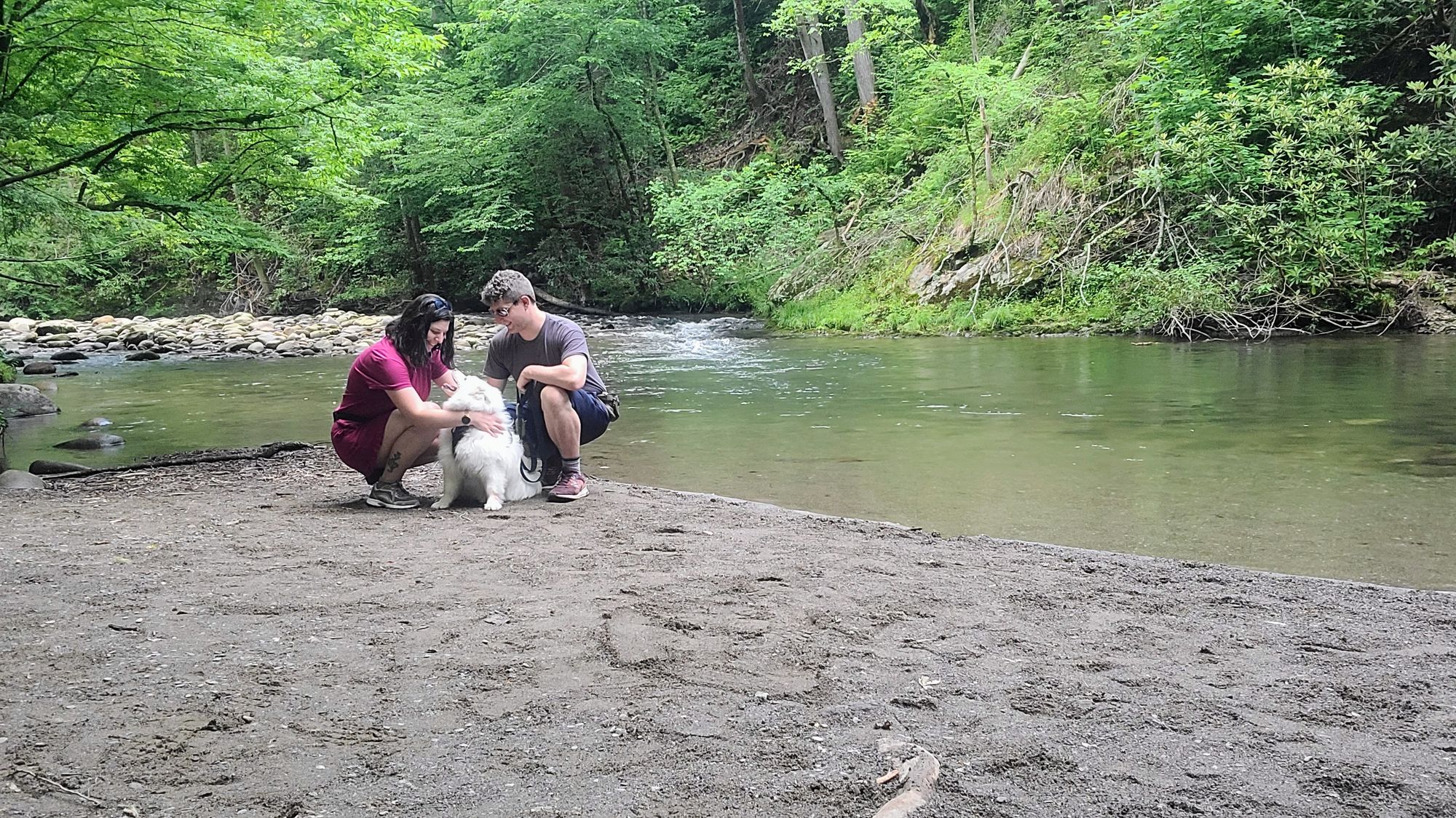
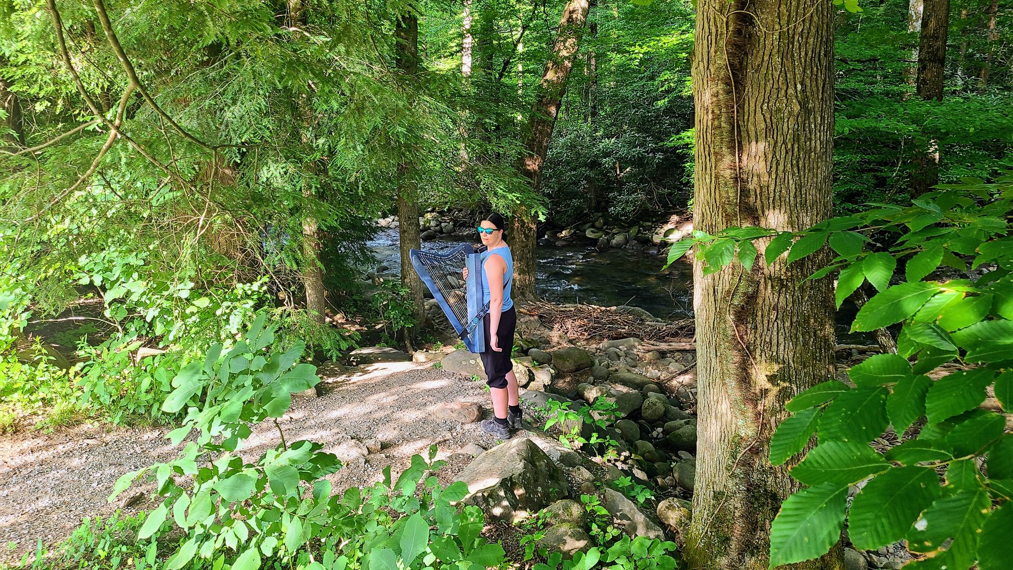
We decided to forego waterfall hikes and head to one of the two dog-friendly trails, so that we could take Tanner on one of the cooler days. The Gatlinburg Trail follows alongside a river, and while it's close to town and you can hear some traffic noise, it's overall a very peaceful trail. More of a nature walk than a hike, it doesn't have a lot of elevation gain and was perfect for our senior pup. We parked at the maintenance lot close to the Sugarlands Visitor Center and walked to Gatlinburg and back. All Trails says the hike is almost 4 miles total, but we clocked far less than this, probably closer to 3, if that. We also had the opportunity to go up to the road and get a picture by the Smokies Sign, a fun memory to share with our little fluffball.
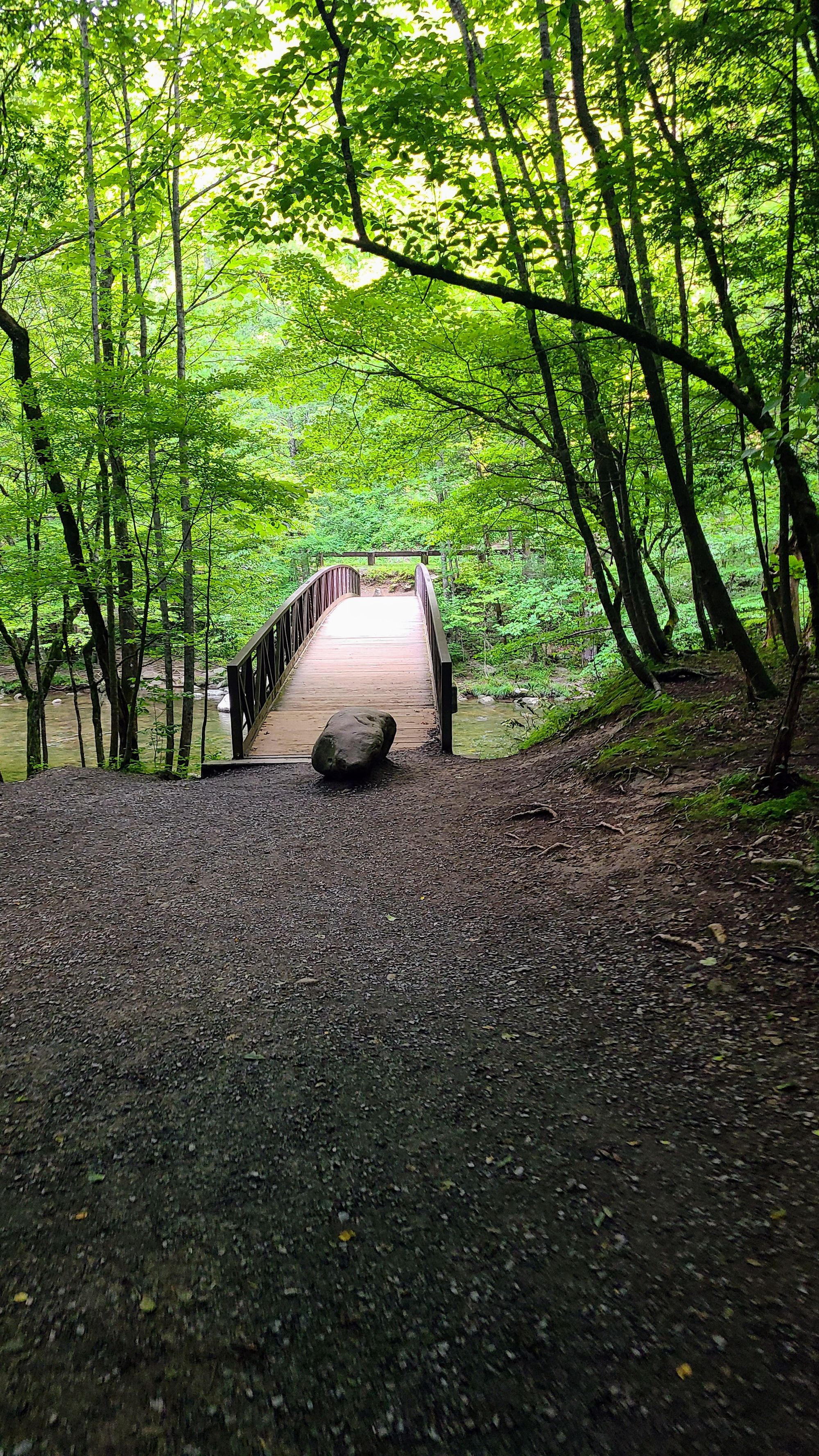
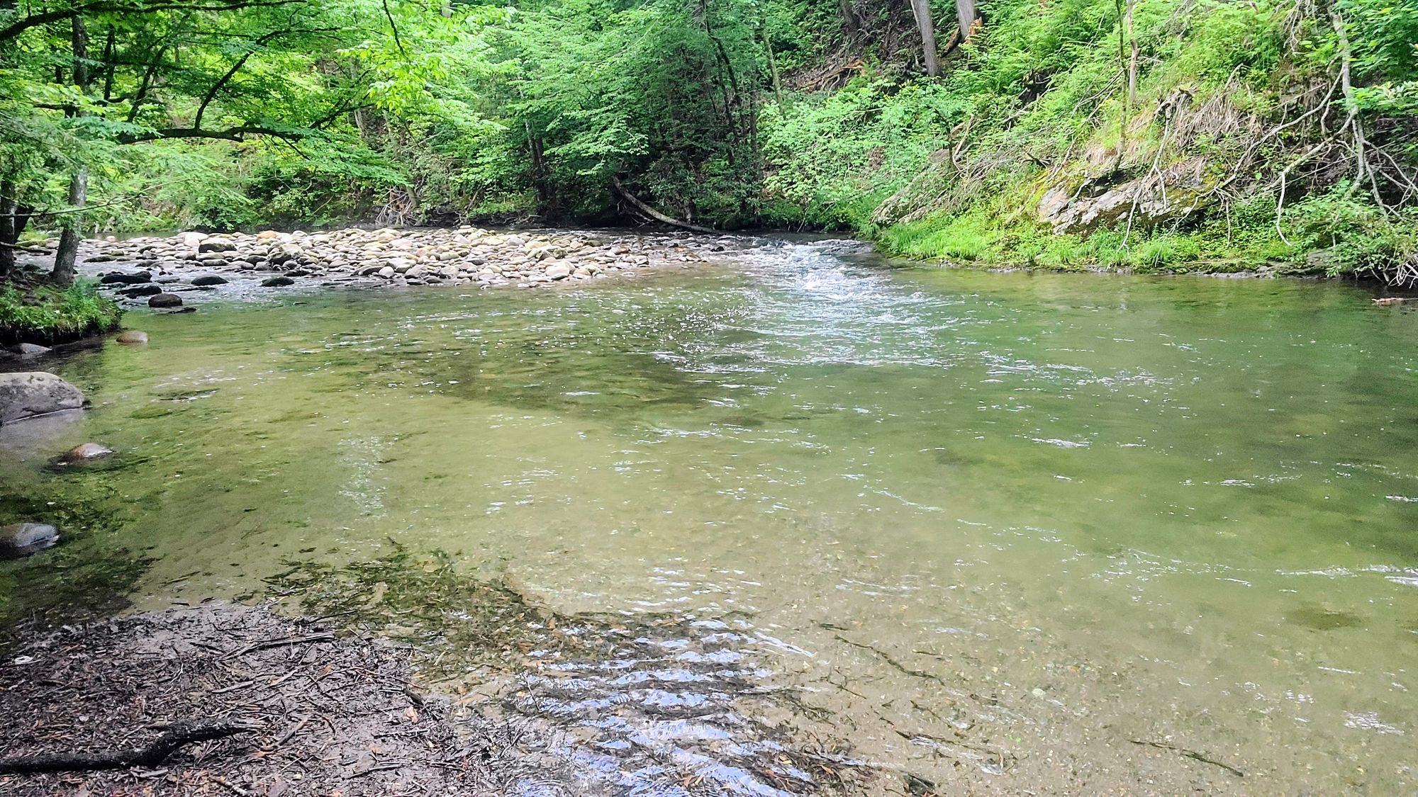
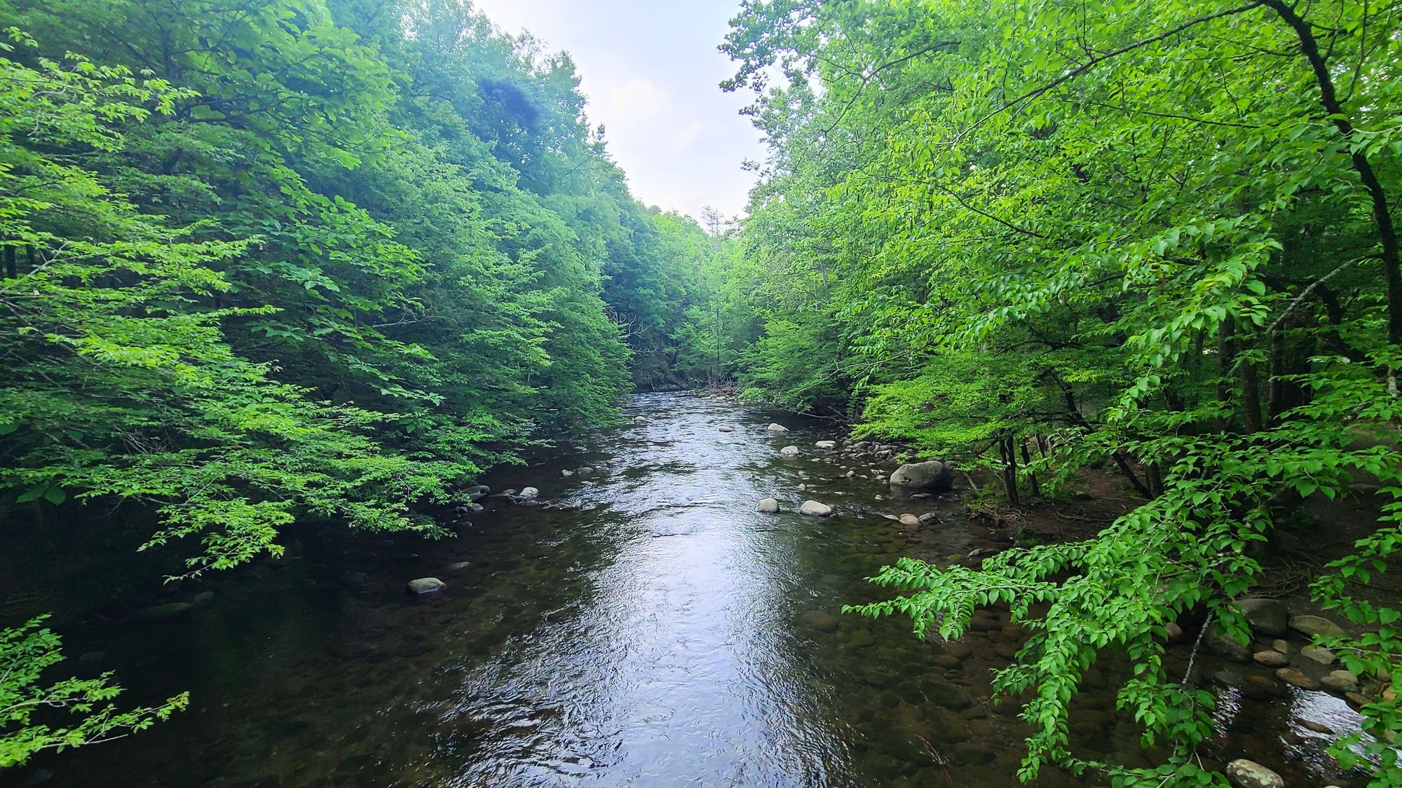
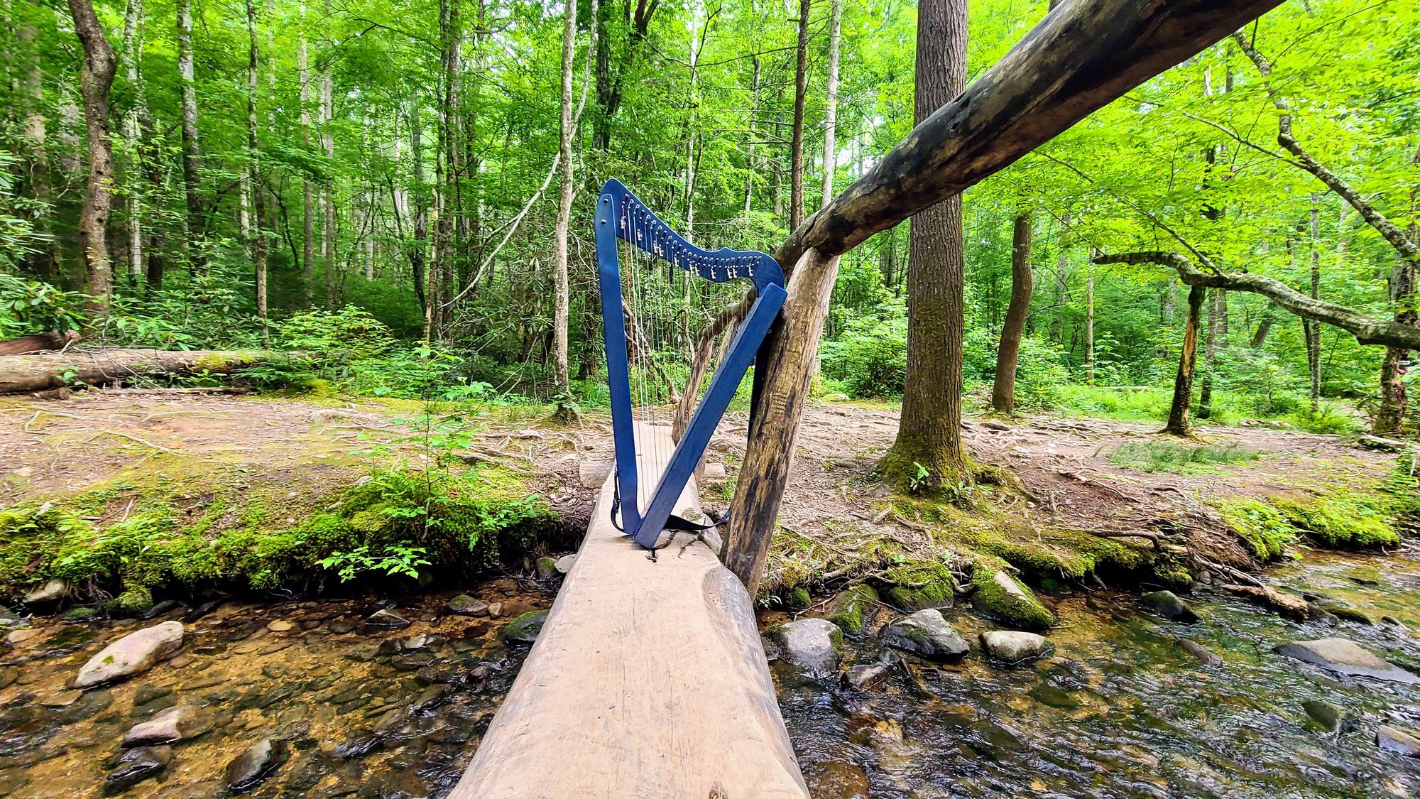
It's not the most scenic trail in the Smokies, but the flowing water, wooden bridges, and easy vibe inspired me to return a few days later with my harp.
Historic Hike: Metcalf Bottoms
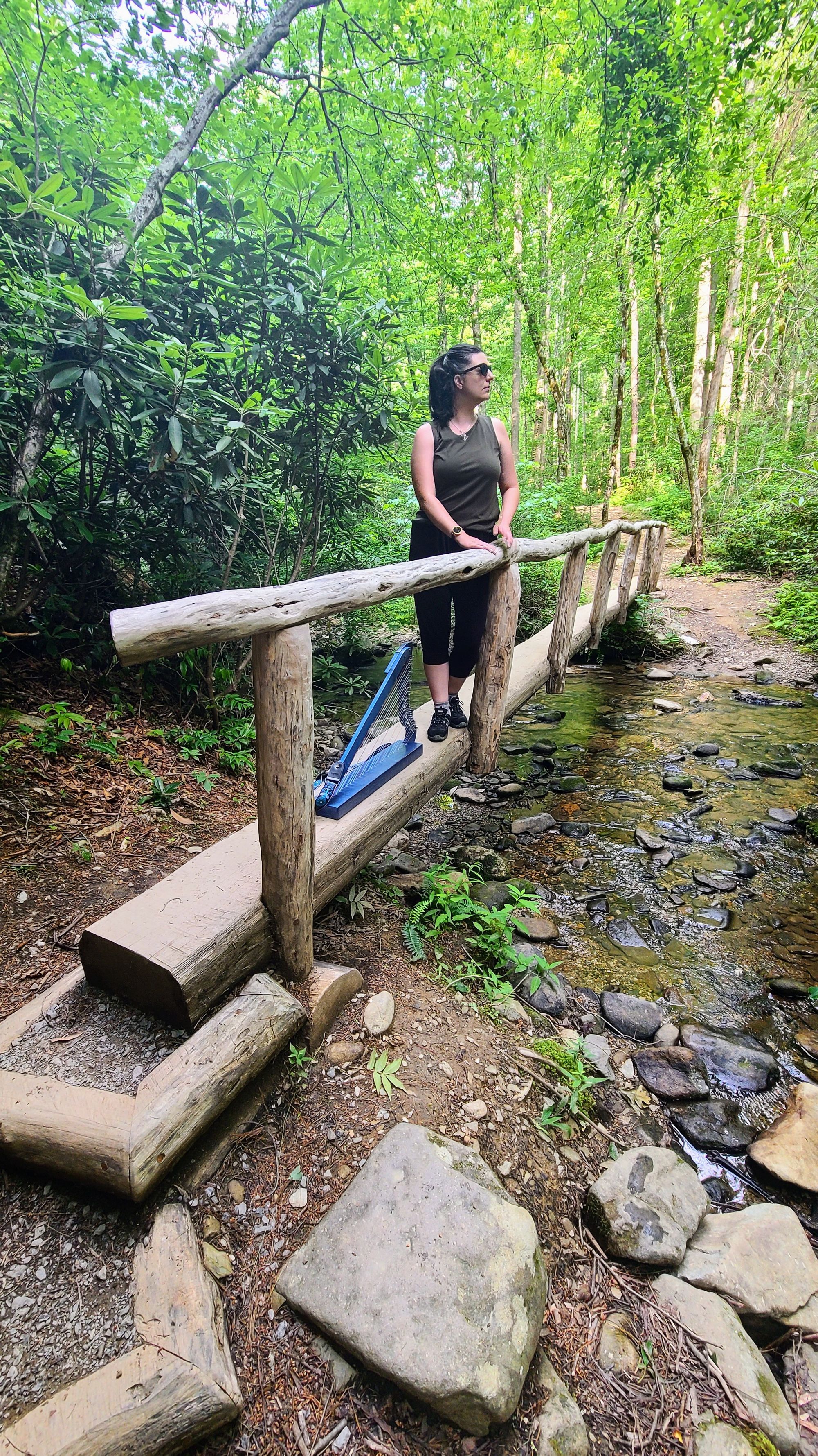
We loved walking through all the pioneer farmsteads during our drives up Roaring Fork and Cades Cove Loop, but near our campground was the Little Greenbrier School, which has a fascinating history. You can drive to the school, but we opted to hike the Metcalf Bottoms Trail, which leads to the school. The trail is fairly easy but does have some inclines. It's a true forest walk, with little footbridges over creeks, and the spring greenery was extra vivid in early June. I took my harp with me, and while I didn't play much along the trail, it was nice to give a little pop of blue to the surrounding green and brown colors of the forest and schoolhouse.
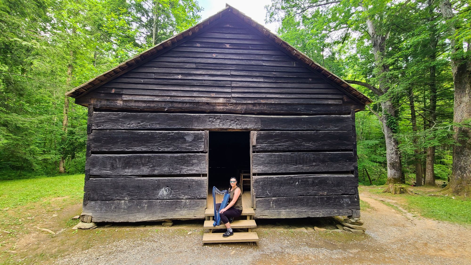
The trail is an out-and-back, so we walked to the schoolhouse and then retraced our steps. It was a short hike, about 1.5 miles total. It's not a trail I'd recommend going out of your way for, but the surrounding area is nice. The Metcalf Bottoms trailhead is located by the Little River Picnic Area, and the nearby road has a lot of scenic points. If you're headed to the Sugarlands Visitor Center from Townsend or Wears Valley, it's worth a stop for a scenic drive, picnic, and short hike.
Mountain Trail: Clingmans Dome
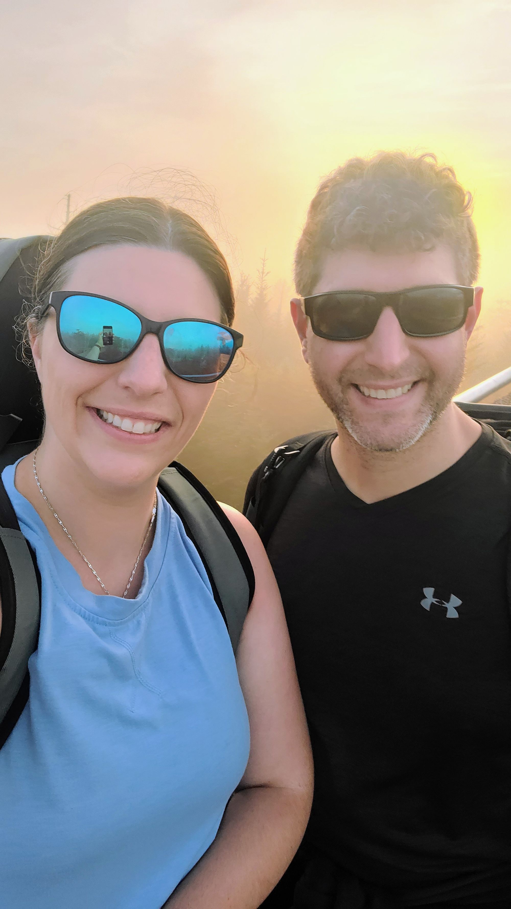
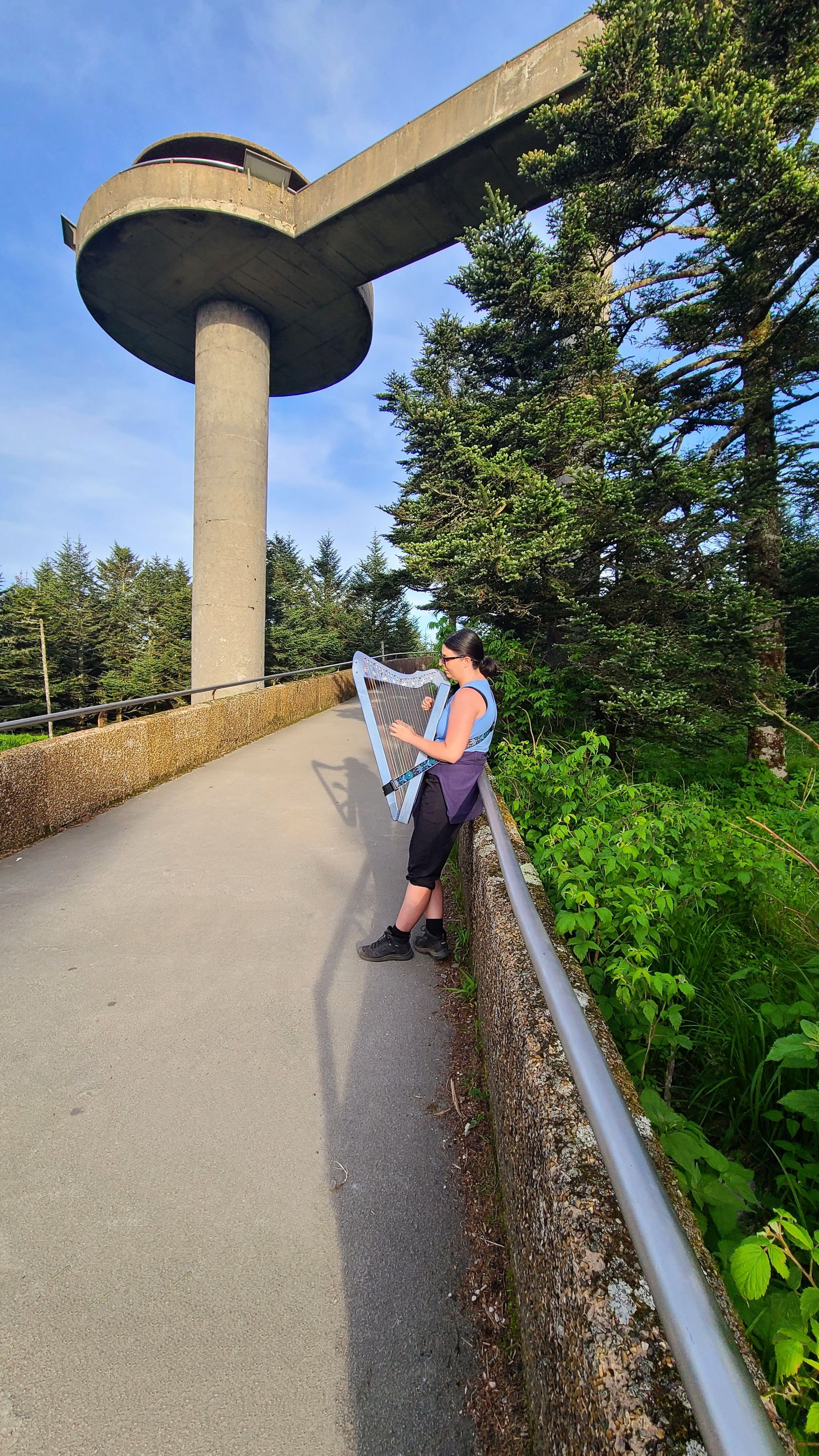
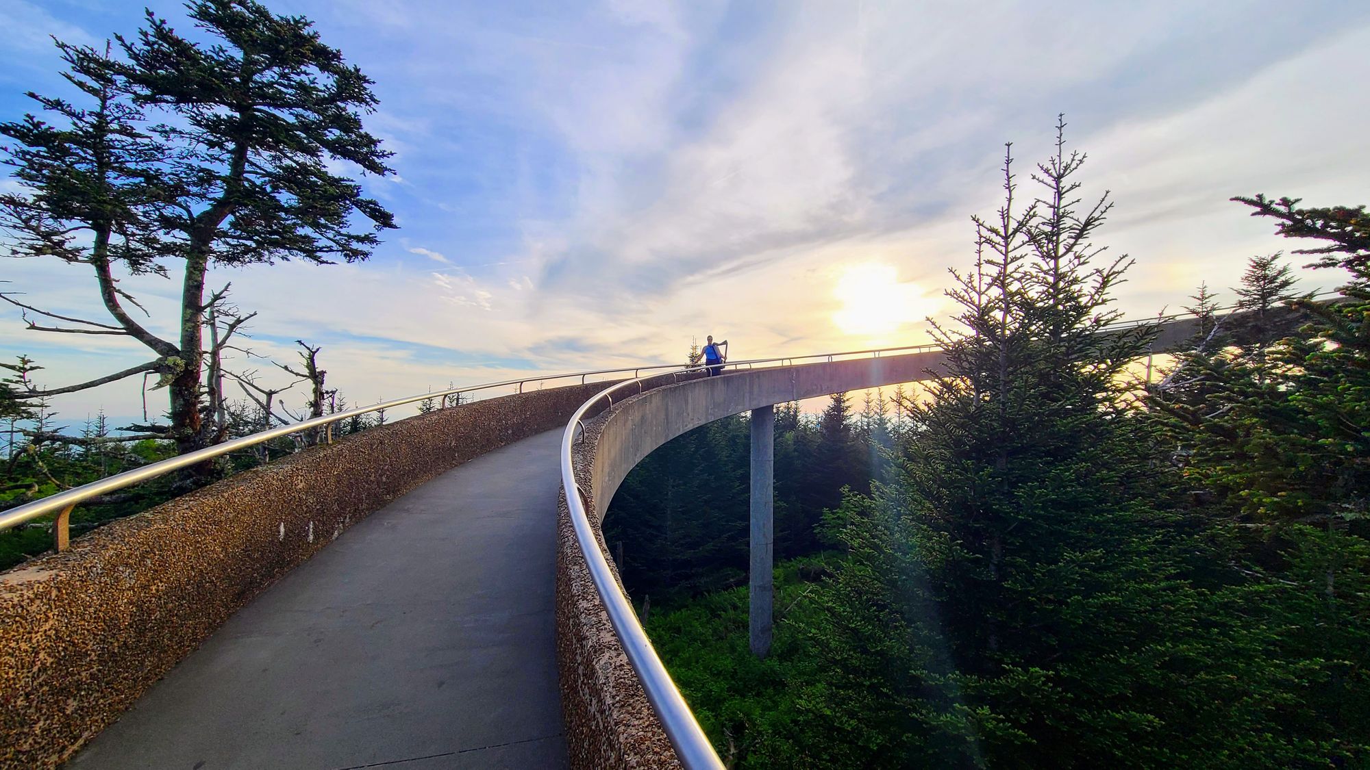
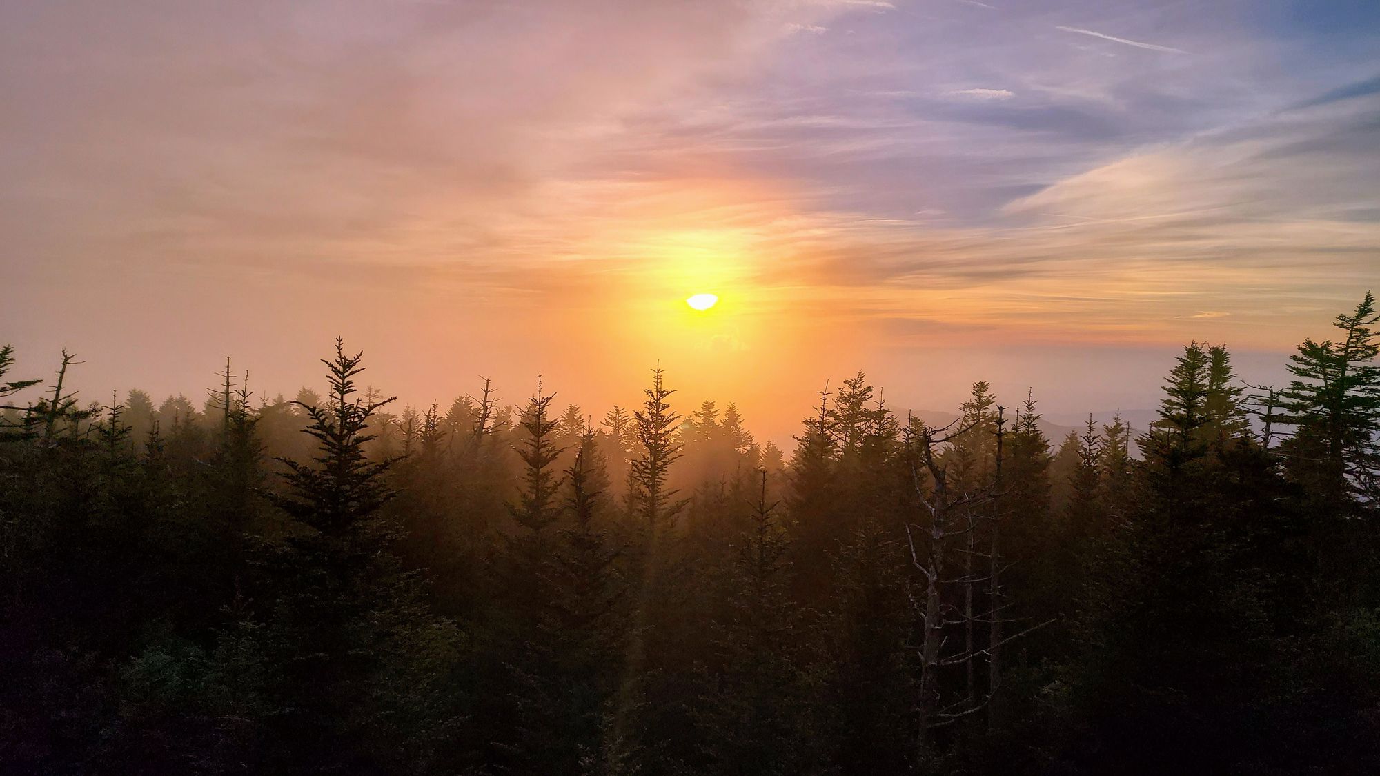
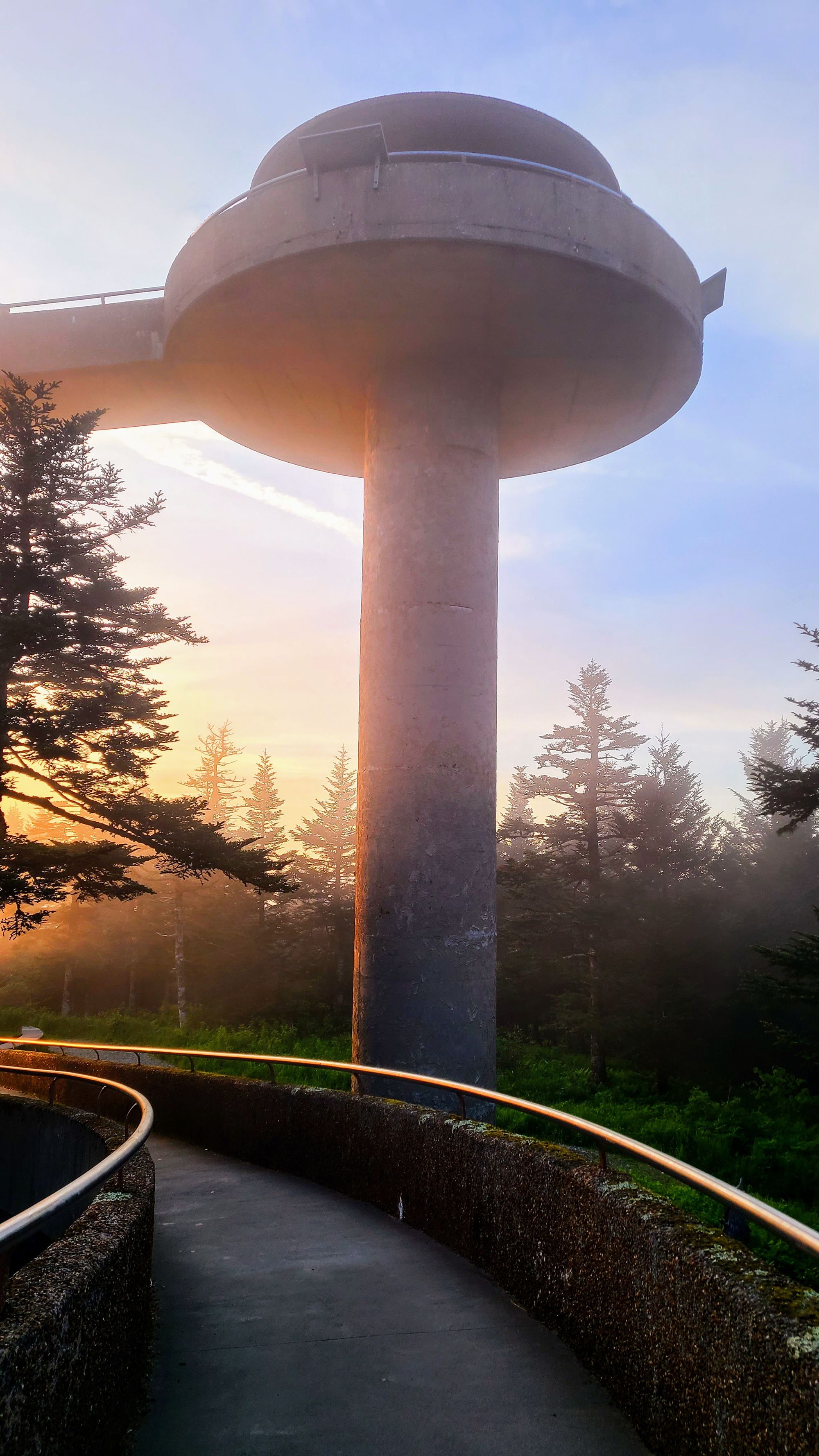
There was one must-do trail that was in fact a must-do, and that was Clingmans Dome. You can't go wrong with this trail. You only need to trek .5 miles to reach the highest point in the Smokies! On a clear day, you can see 7 states from the top of the lookout tower, but it's hardly ever a clear day. The mountains aren't called Smoky for nothing! The drive to get to Clingmans Dome is just as exciting as the hike. We took Newfound Gap Road from the Sugarlands Visitor Center and then turned off to Clingmans Dome Road. We shared pictures from Newfound Gap Road in our Scenic Drive post, too.
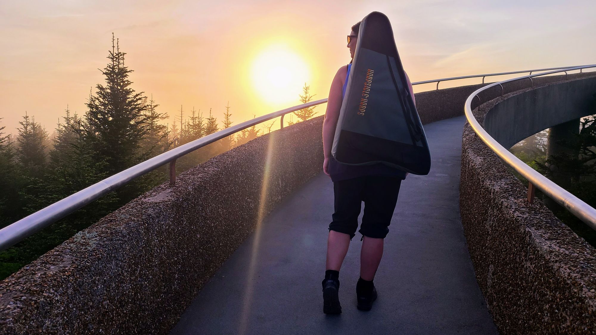
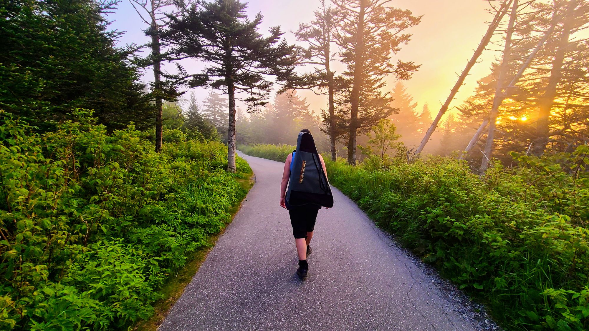
We went for sunset because it fit into our schedule, and let's face it, sunset over mountains is gorgeous. If I wasn't aiding my calf injury, we would have opted to also do Andrews Bald trail, which begins at the Clingmans Dome parking lot. This trail leads down to an opening with beautiful views, and it was recommended to us by a worker at the local REI. But, since we were taking it easy, I instead added challenge by lugging my harp up the steep hill to the Clingmans Dome lookout tower. Those photos are definitely a fine addition to the Hiking Harpist gallery!
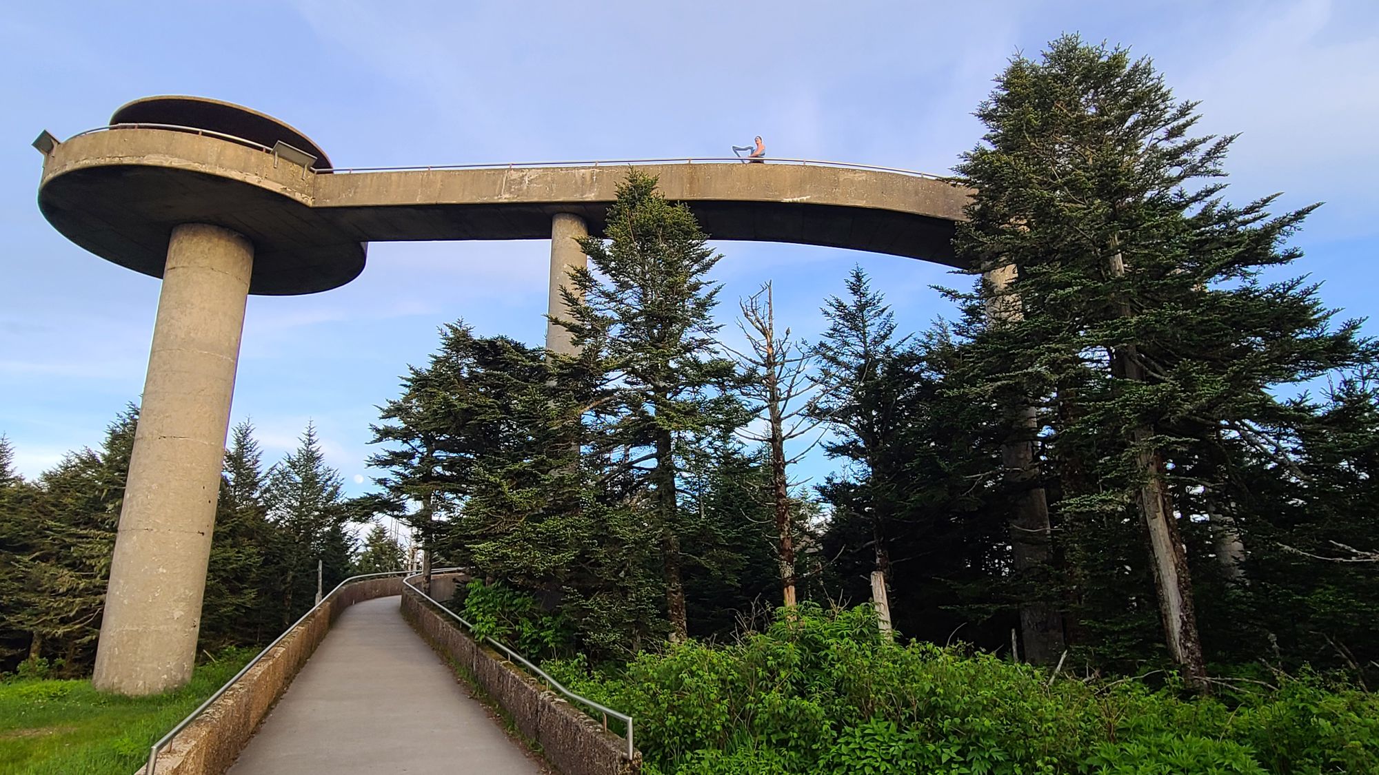
Because Clingmans Dome is a short, paved trail, people often wonder if it's actually worth it. We can say whole-heartedly that it was for us. That's the great part about exploring these places; it may seem overwhelming that there is so much to choose from, but that's a good thing too! There can be a lot of pressure, especially in big National Parks, to do certain trails or push yourself to hike outside your comfort zone. Our greatest piece of advice is to just do what you want. You can gain so much by hiking short trails, or just driving around. You can focus your entire visit on pioneer history, or the Appalachian Trail, or even Pigeon Forge! This is your trip, so make it your own.