Going to Wind Cave...without going to Wind Cave


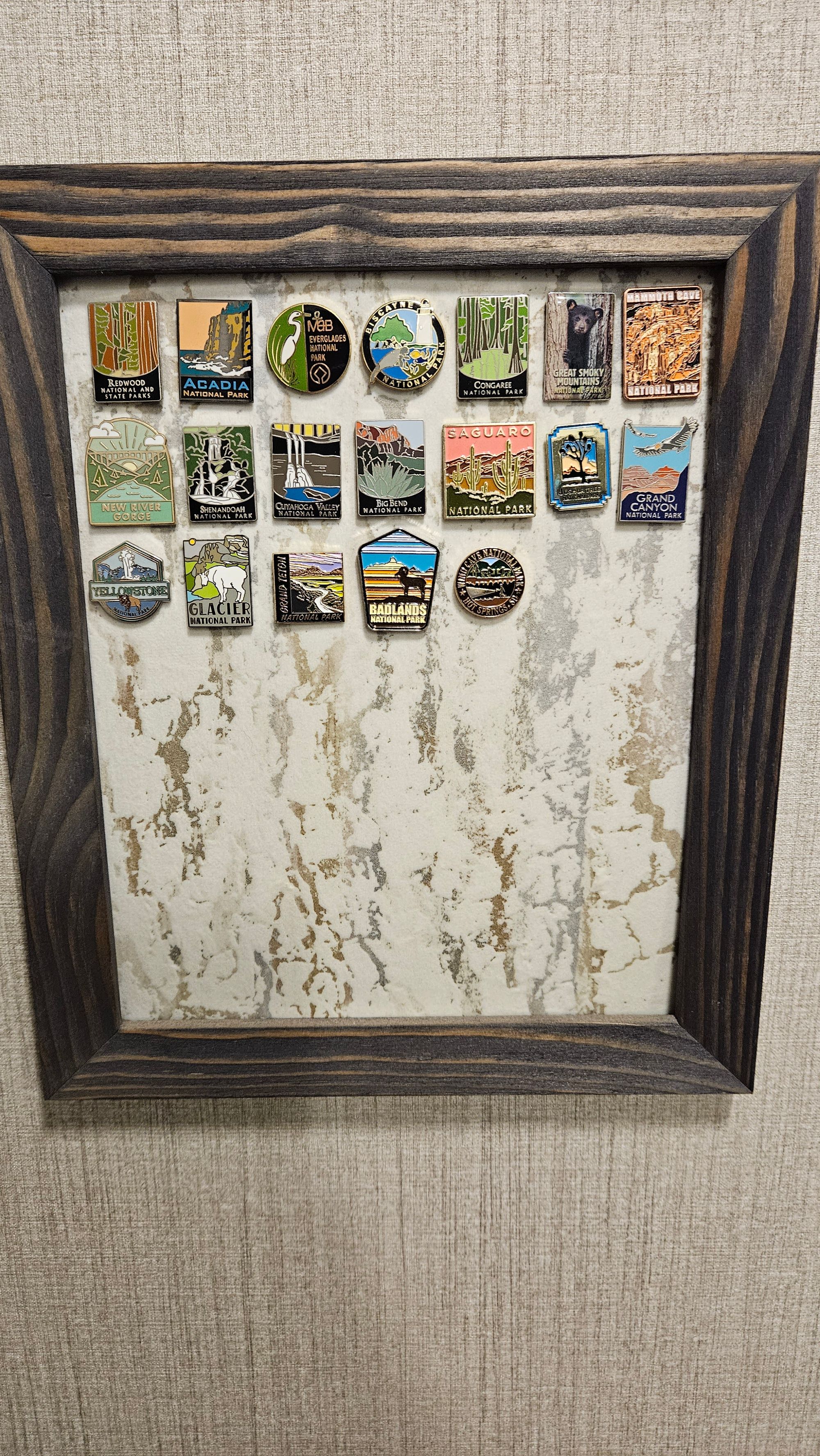
Before we left South Dakota, we had a decision to make. As you probably know, we try to make it a point to go to National Parks because we collect pins for our pin board - something we started doing before we hit the road. Wind Cave is right near the Black Hills, and even though we didn't go when we had all our Black Hills and Beyond excursions, we were headed back that way before leaving the state.
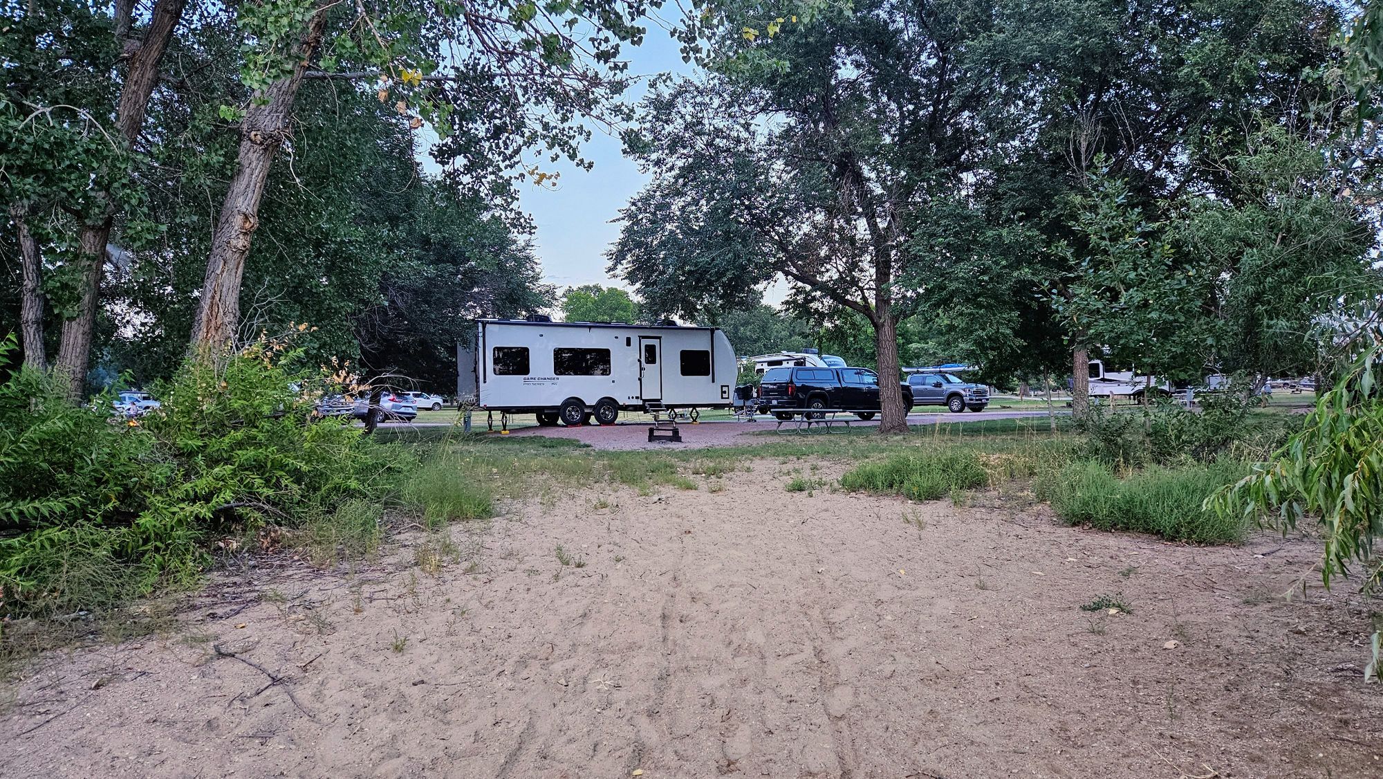
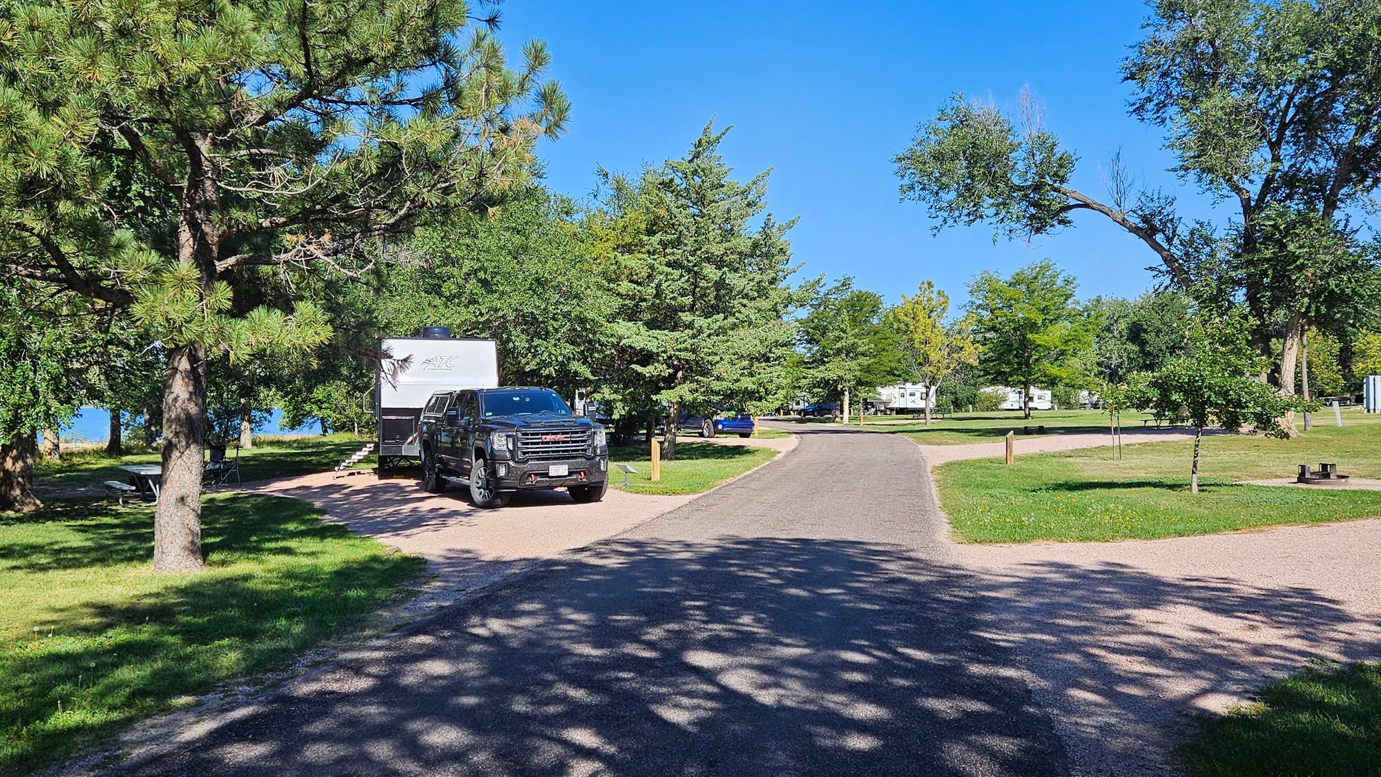
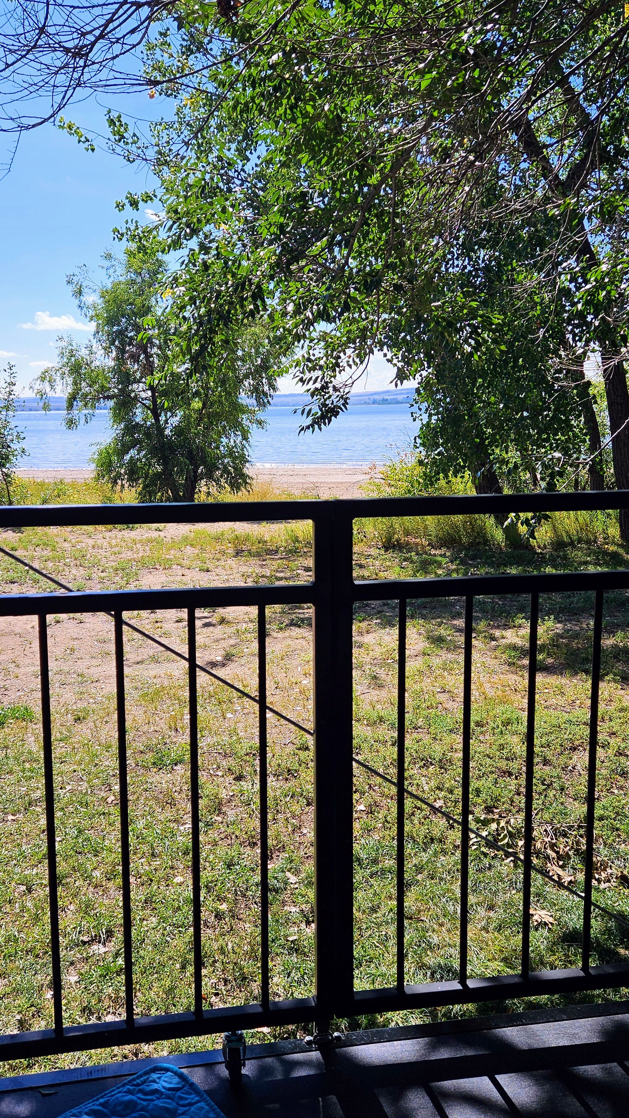
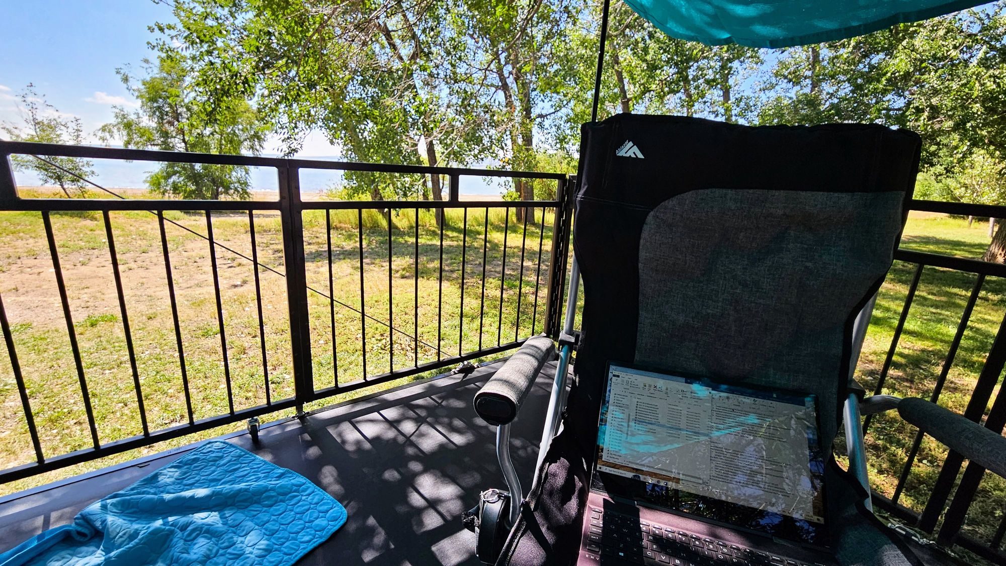
When planning our South Dakota itinerary at the beginning of summer, we actually ended up booking a campsite right inside the park, but then we found an even better site further south, and so we canceled the Wind Cave site in favor of this site at Angostura Reservoir:
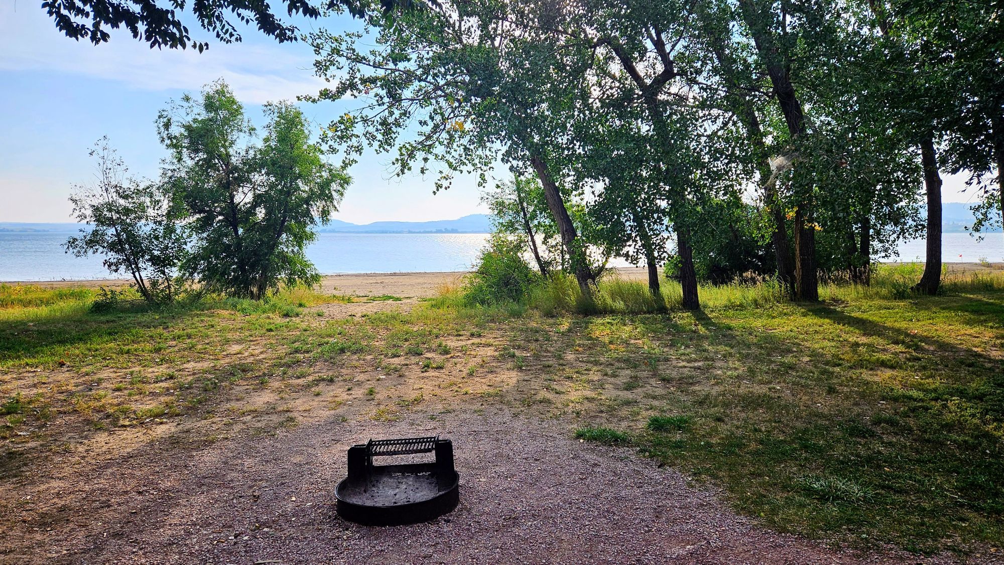
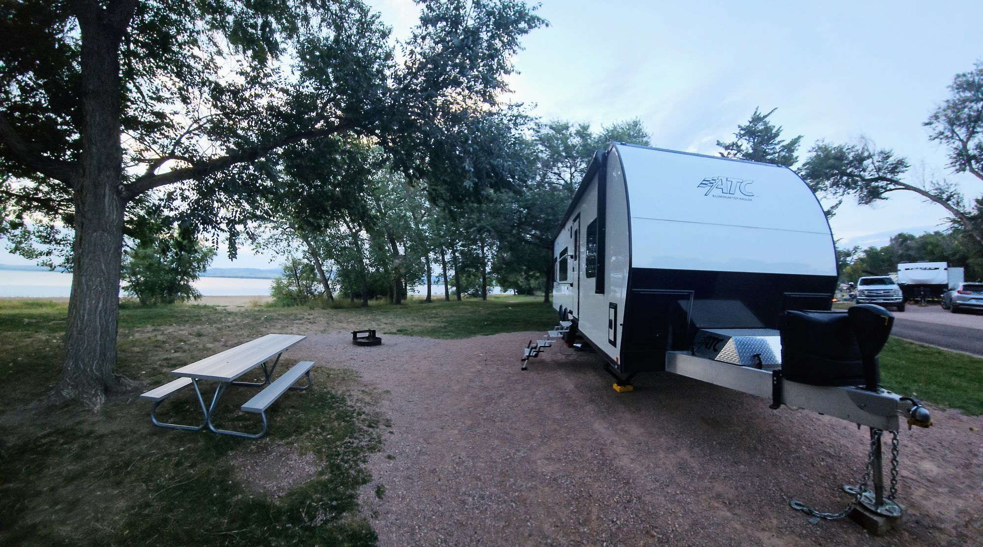
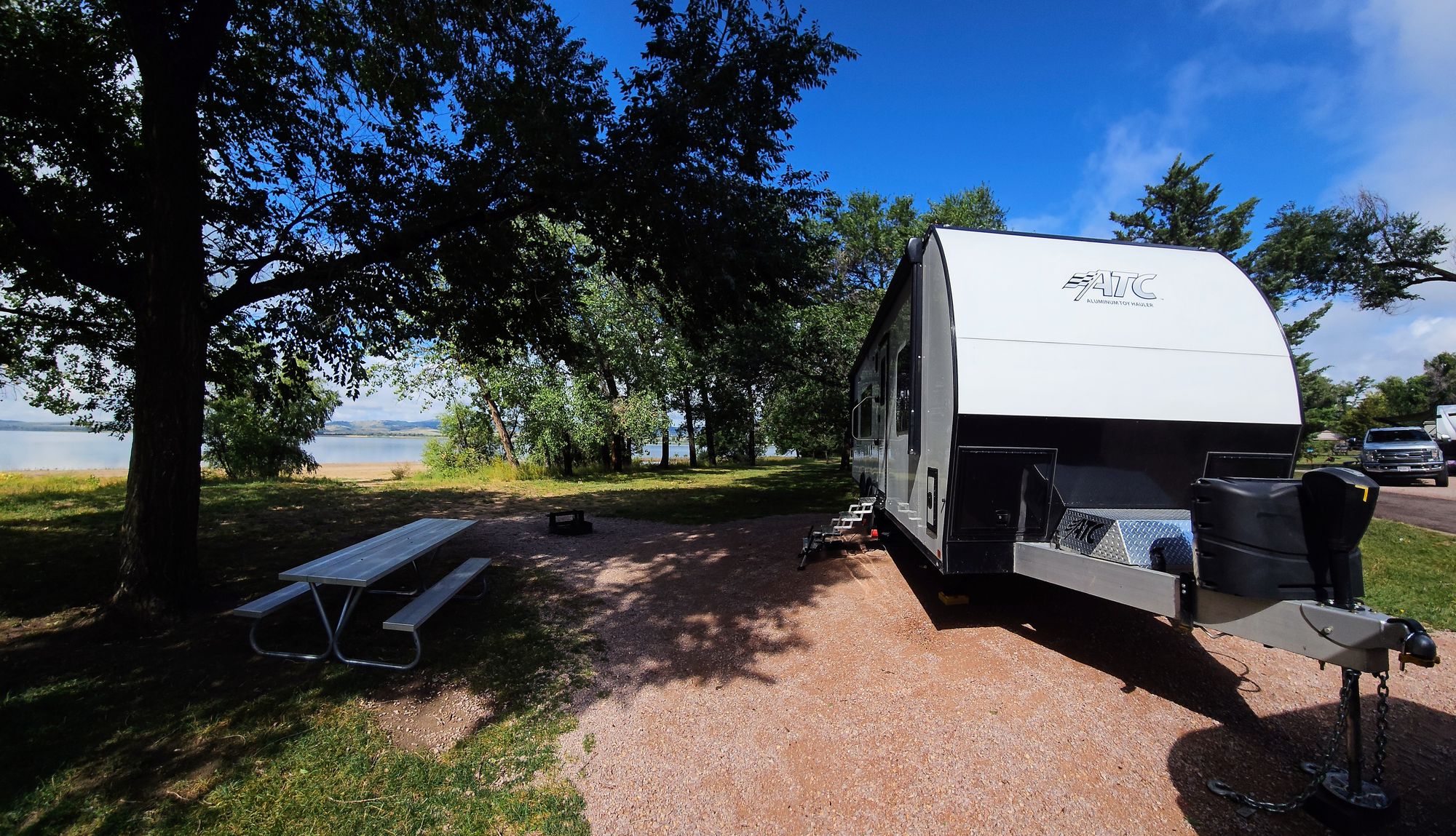
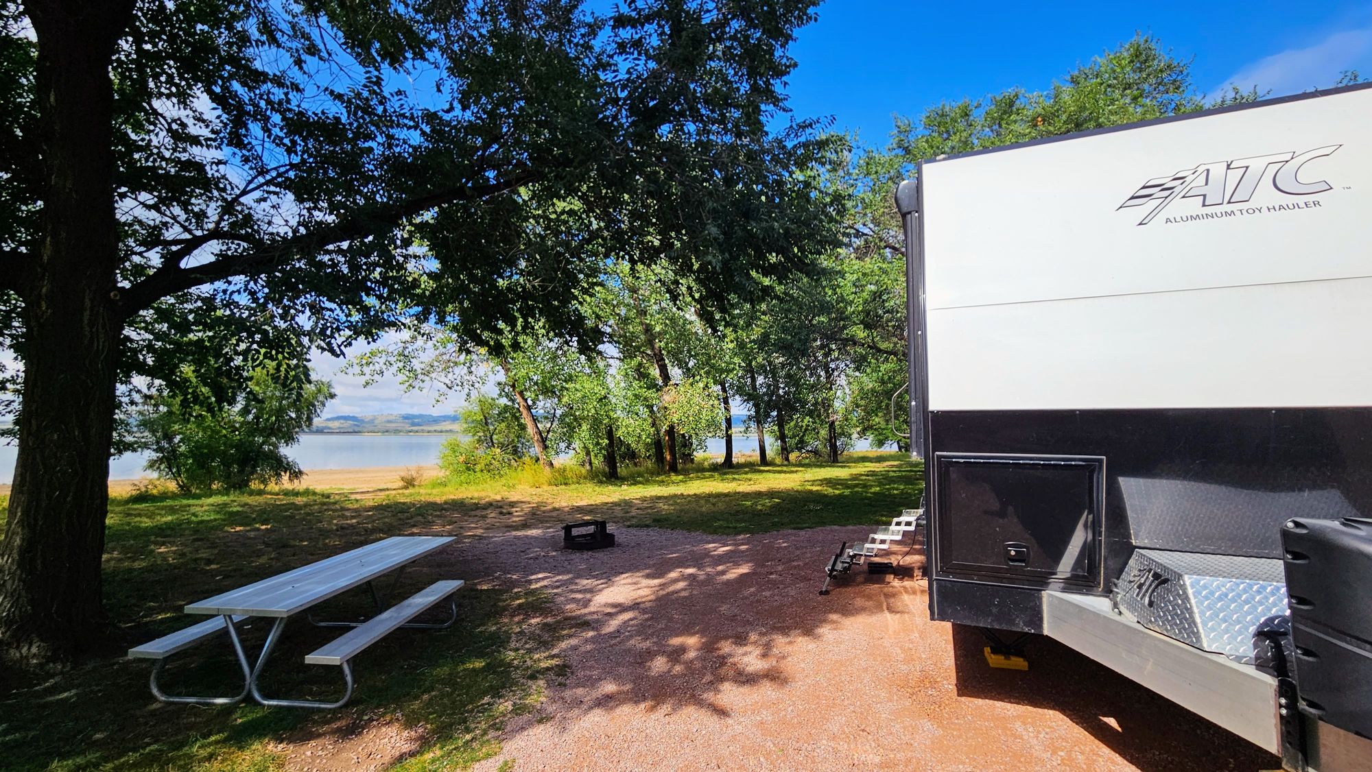
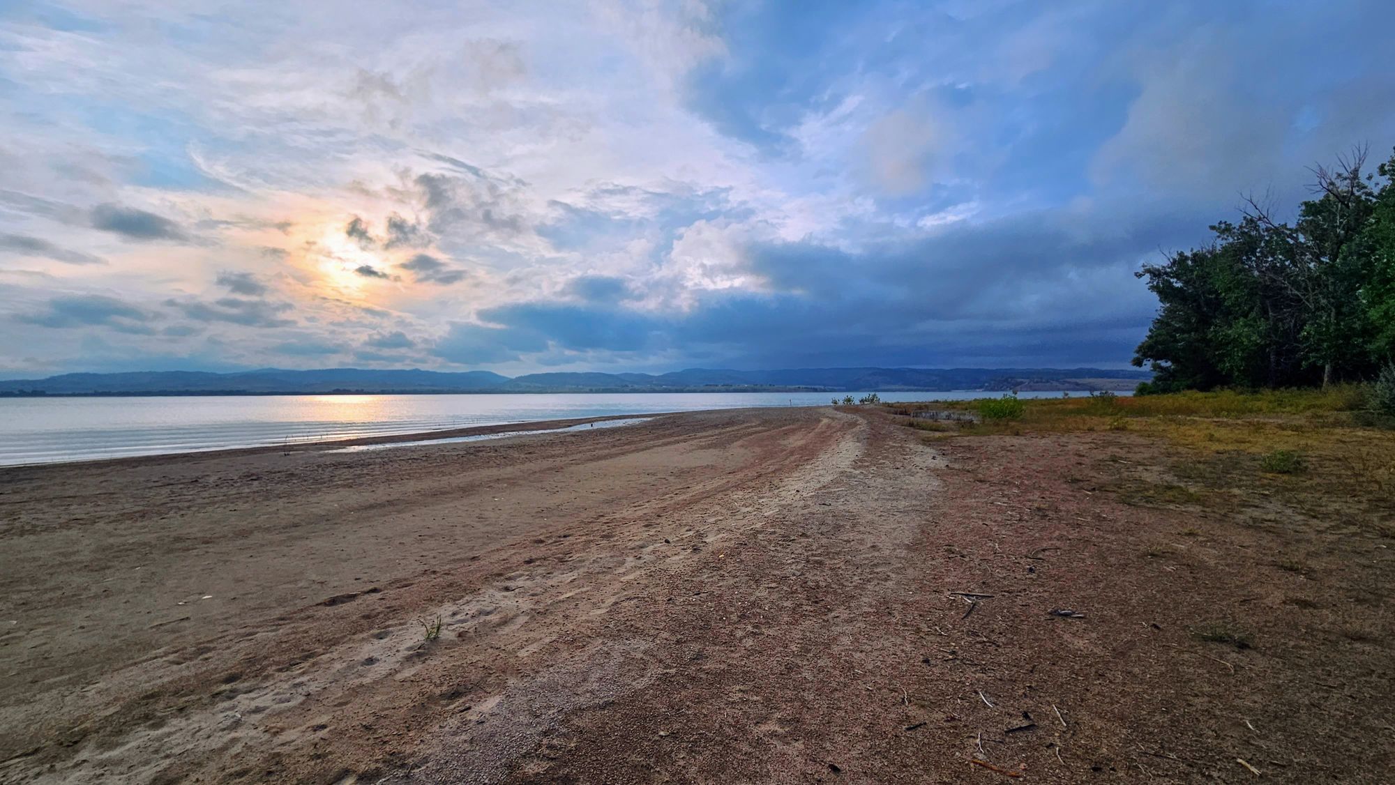
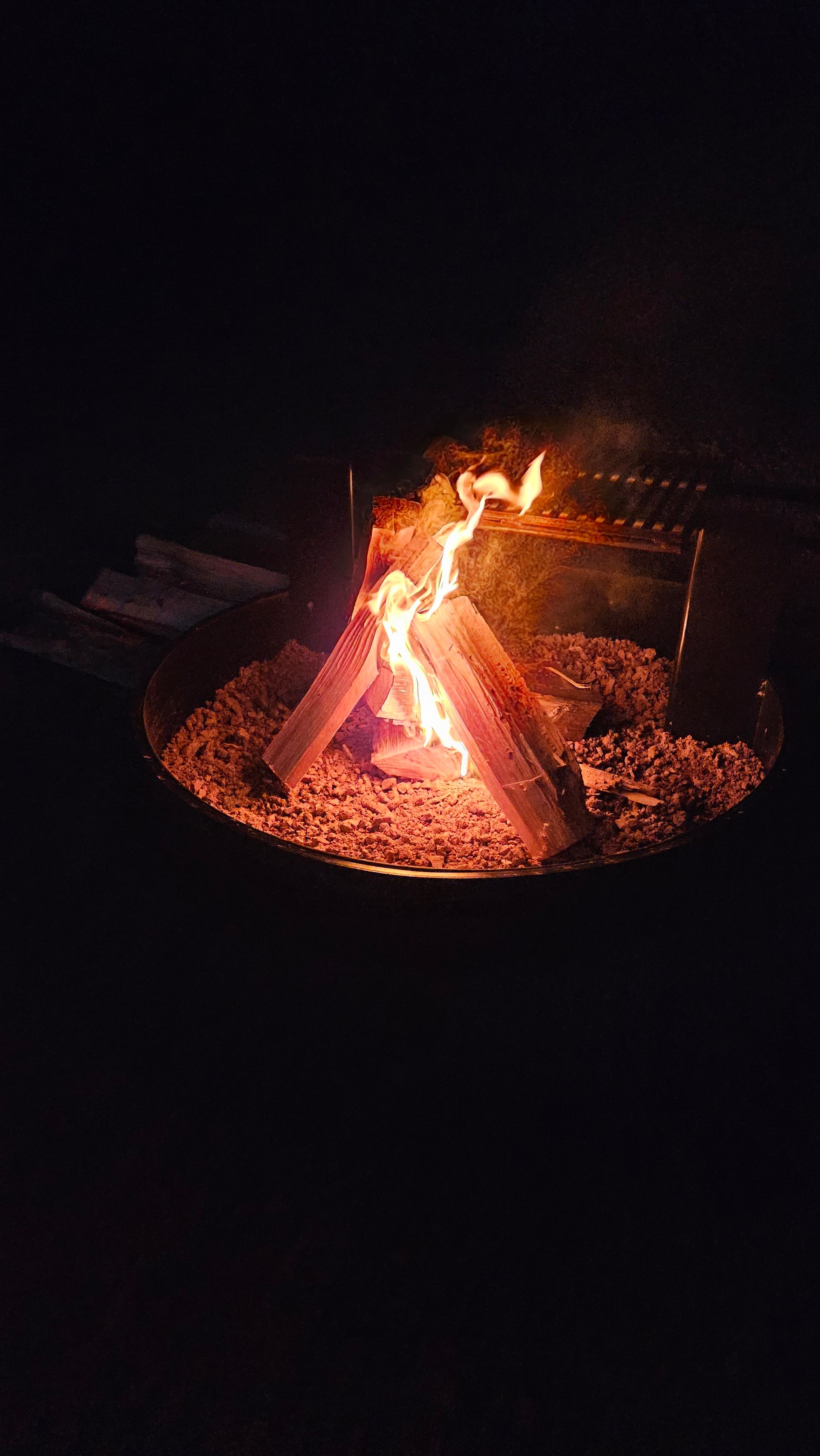
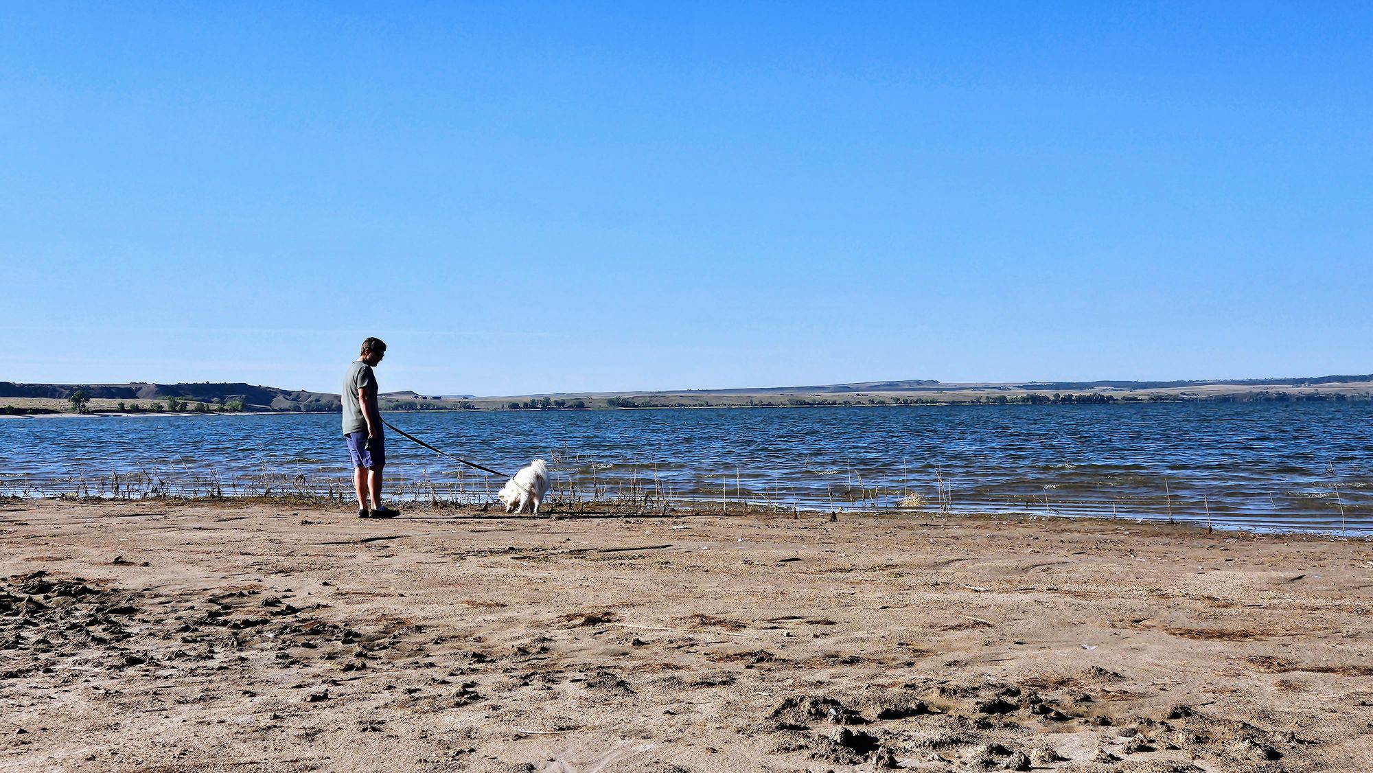
We finally had nice enough weather to really enjoy our lakefront site. We put down our patio, sat/walked by the water, and had a campfire.
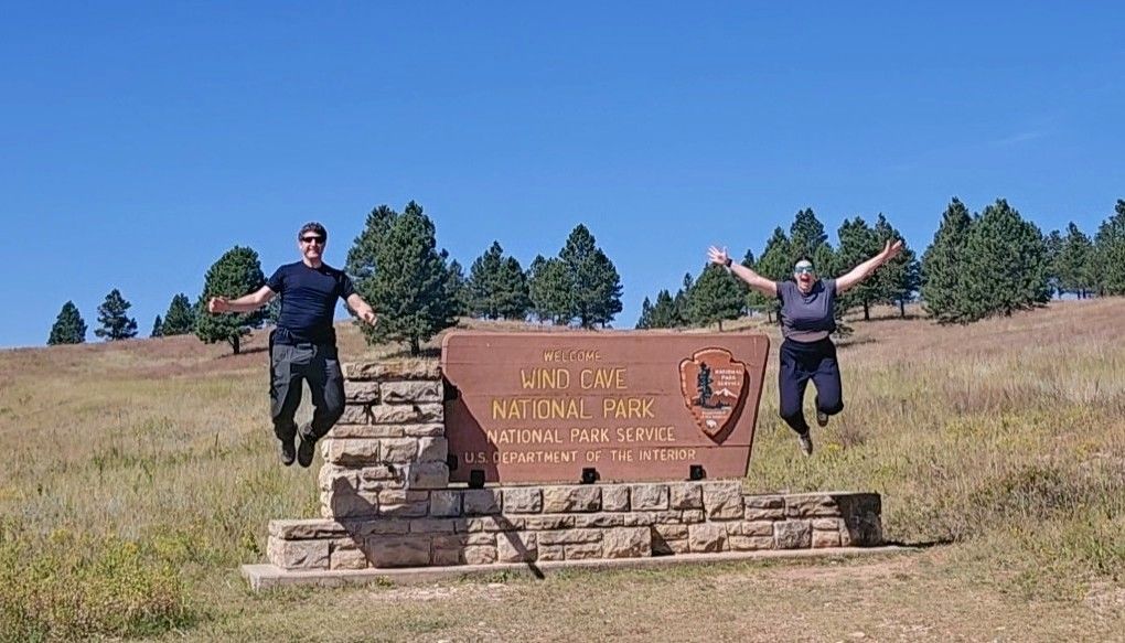
Wind Cave National Park was only about 40 minutes away, but we had a big reason for not going: The cave tours weren't running. We had heard an announcement that the elevators down to the cave were being repaired and tours would be cancelled until further notice, likely the beginning of September. That's when we'd be back in the area, so we held out hope. Unfortunately, the park staff kept delaying the tours' reopening, and they were now postponed until at least October. So that left us wondering, do we head up there, grab our pin, and do the outdoor activities, or do we wait until we return to South Dakota and go when we can get into the cave?
We didn't know the next time we'd be back in South Dakota, and so we decided to pop over to the visitor's center and then go on a few hikes. At least that way, when we do return, we'll be able to focus solely on the cave experience.
Even though the cave is the clear draw of this national park, we were sure the outdoor activities would be beautiful because it's a beautiful area. We were pleasantly surprised to see many visitors going to the park despite the tour closures. We were ready to make the most of our time there.
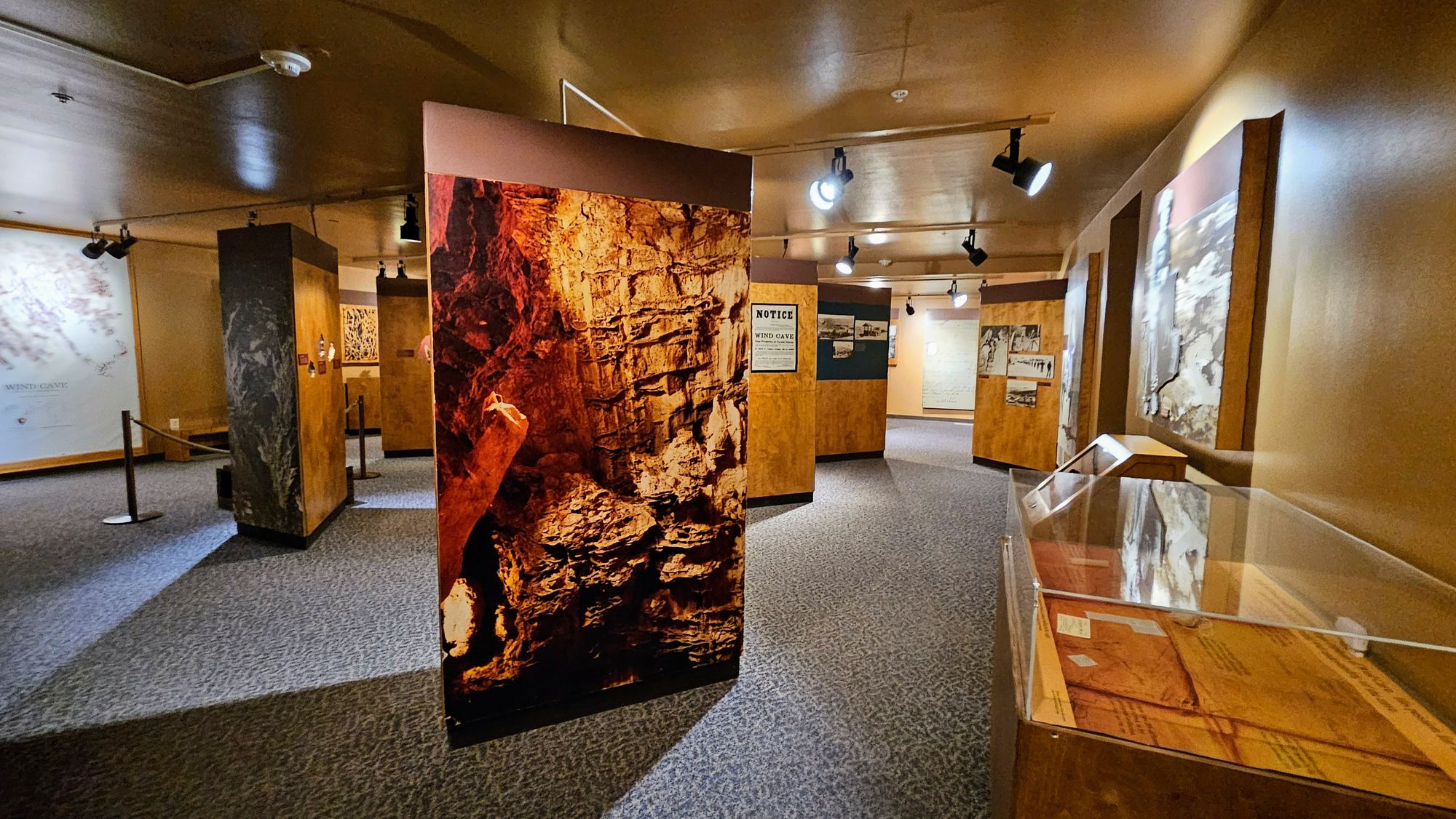
We stopped at the visitor's center first to grab a map and check out the exhibits. There were many on the Black Hills, which would be great for first-time visitors just learning about the area, but for us, much of the information was repetitive. Still, we found some ways to entertain ourselves.
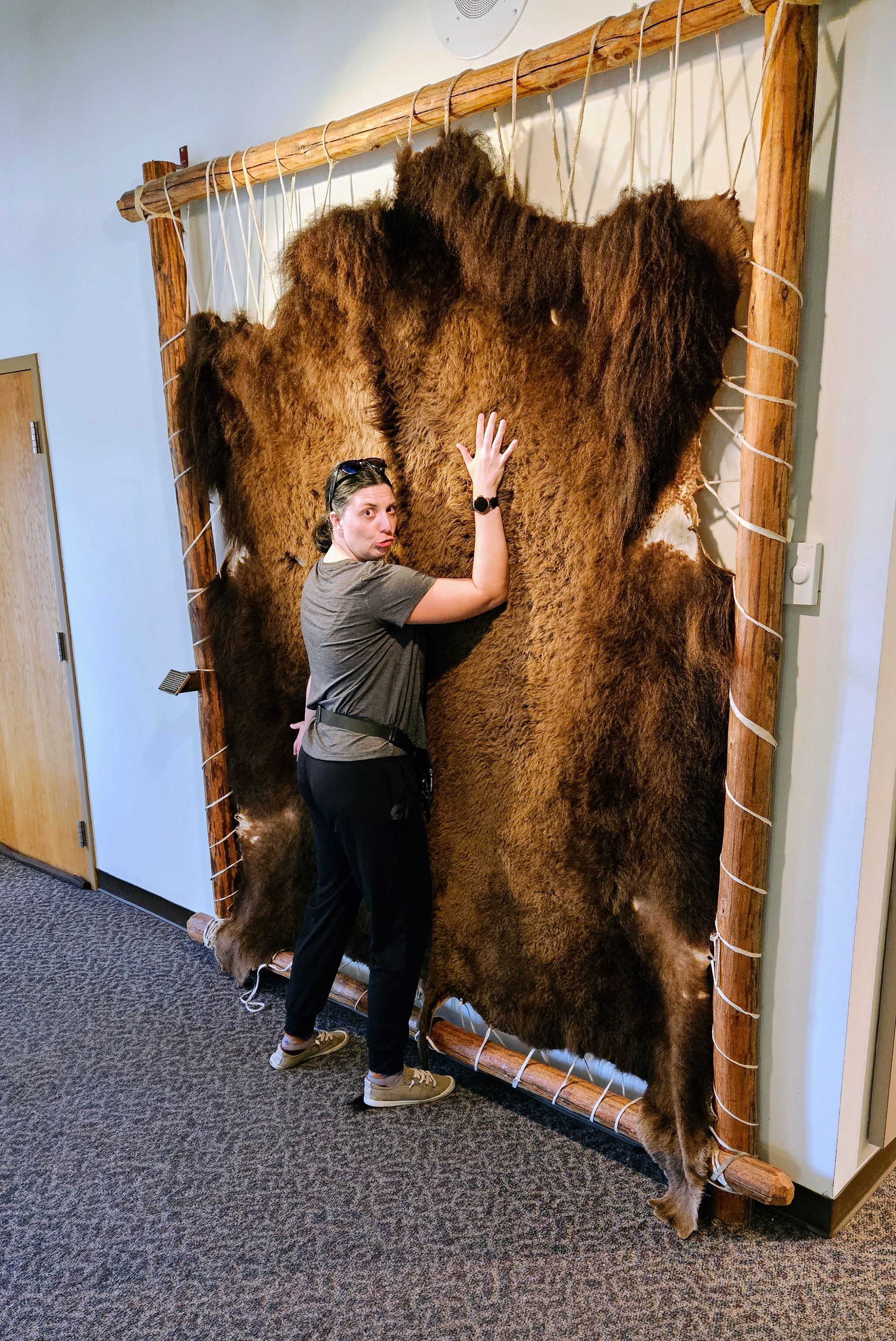
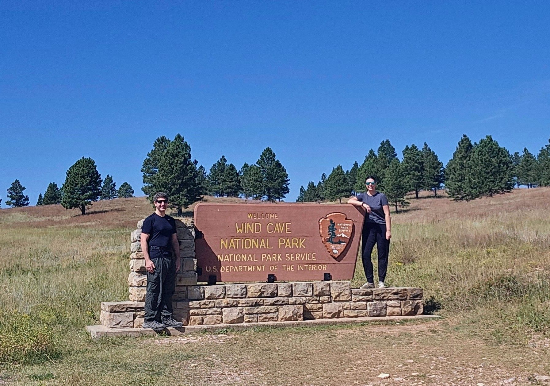
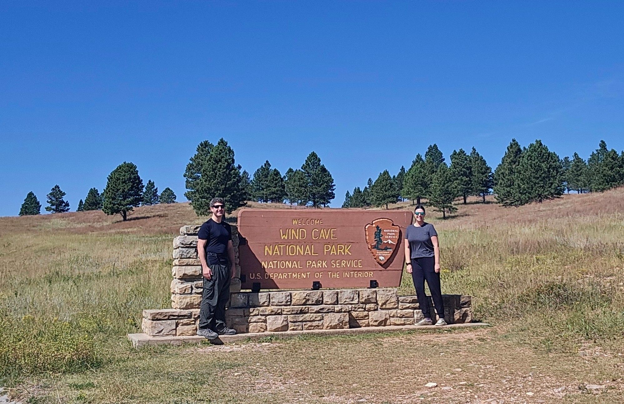
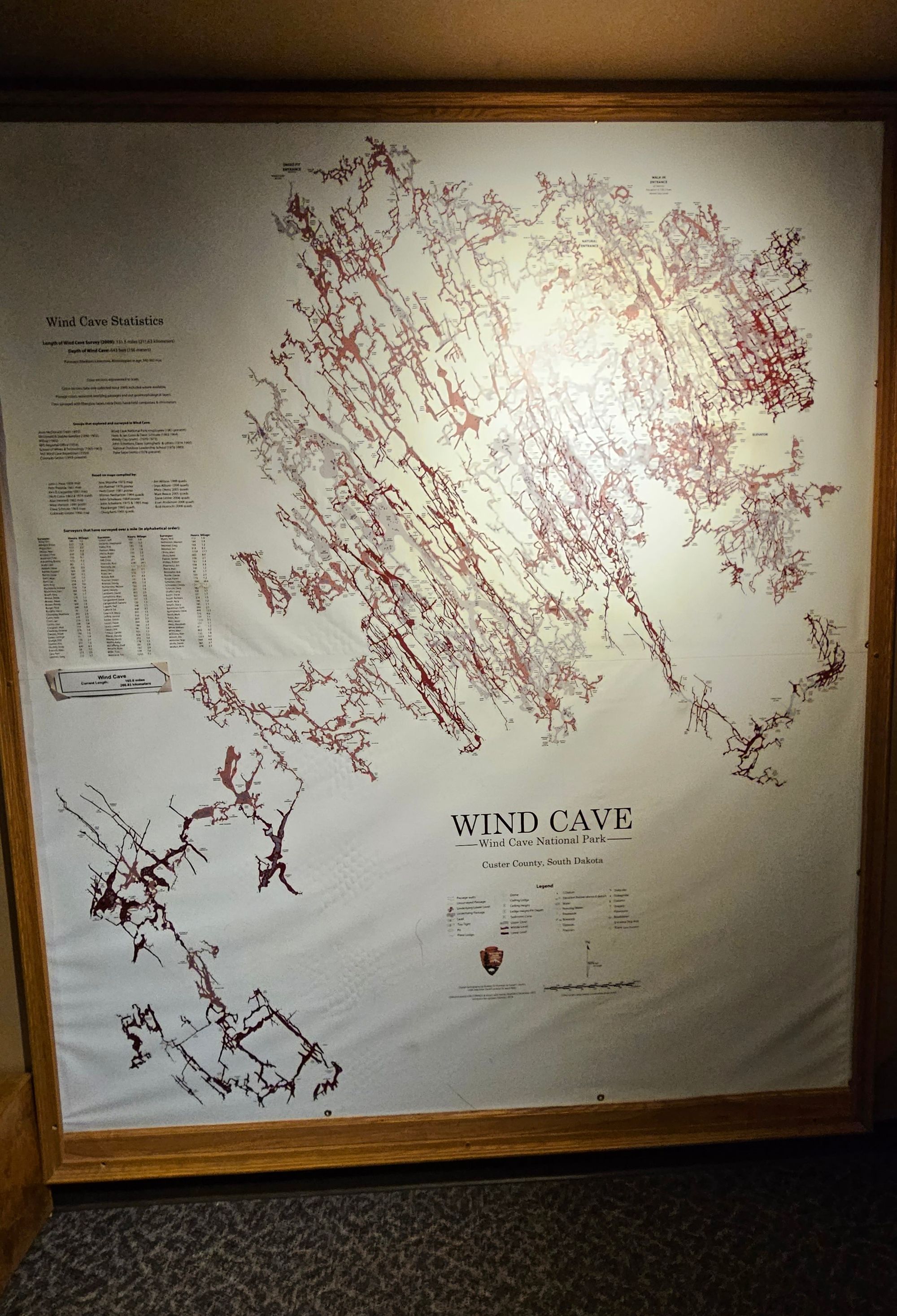
The downstairs of the visitor's center, however, had a lot more information on the cave itself, including a really cool interactive display on caves all over the US. We also got to see maps of Wind Cave and learn its statistics. It's not the longest or deepest cave, so what makes it special? It's got some incredible and unique formations, including boxwork, a formation that looks like honeycomb. We saw photos of the inside of the cave, including gorgeous crystallized rocks that look like frosted Christmas trees. We imagine the tours are fantastic, but we had other features to see, and so we grabbed our national park pin at the gift shop and headed out.
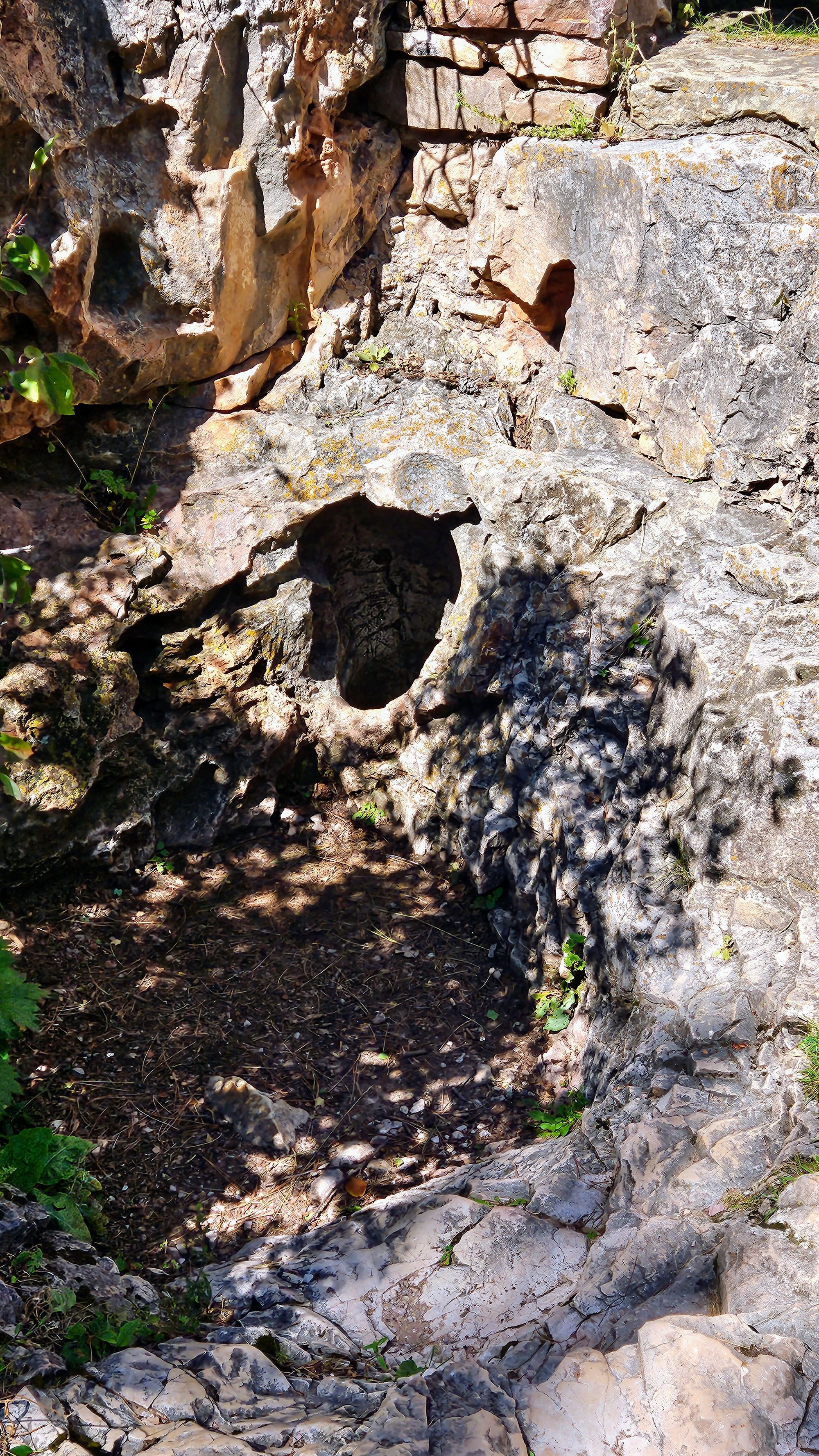
Behind the visitor's center and a short walk away is one of the "natural entrances" to the cave, a 10-inch hole that doesn't look like much from the outside, but at least we were able to gaze upon the cave we weren't able to visit.
Then it was time to hike. We opted for 3 hikes, one on each end of the park north-to-south, and one in the middle. Most of the recreation is on the west side of the park, with the east side being backcountry.
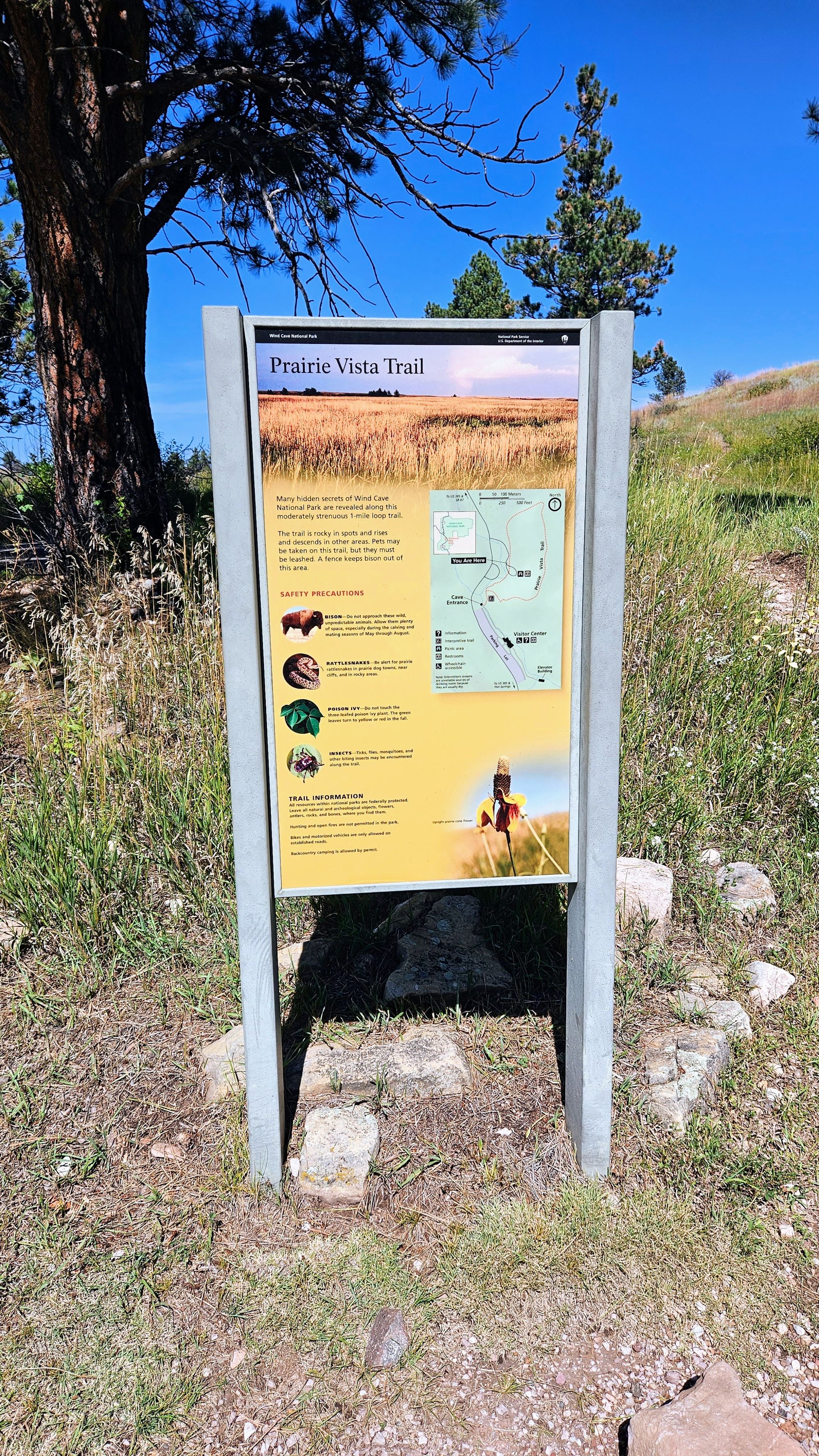
South side: Prairie Vista Trail (~1 mile)
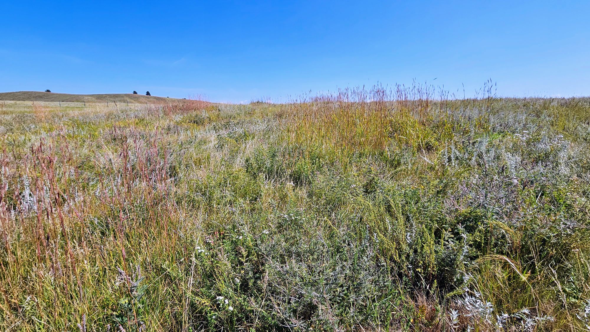
This trail begins right at the natural cave entrance and loops through the mixed-grass prairie. While it has a few small climbs, it's a fairly easy loop that only took us about 20 minutes. Along the way are signs talking about the plants and wildlife that live in the prairie habitat. While it may just look like green fields and hills at first glance, many species thrive in this environment. Besides some grasshoppers and butterflies, we didn't see much, and we kept moving along as to not be in the sun too long. The day was already heating up.
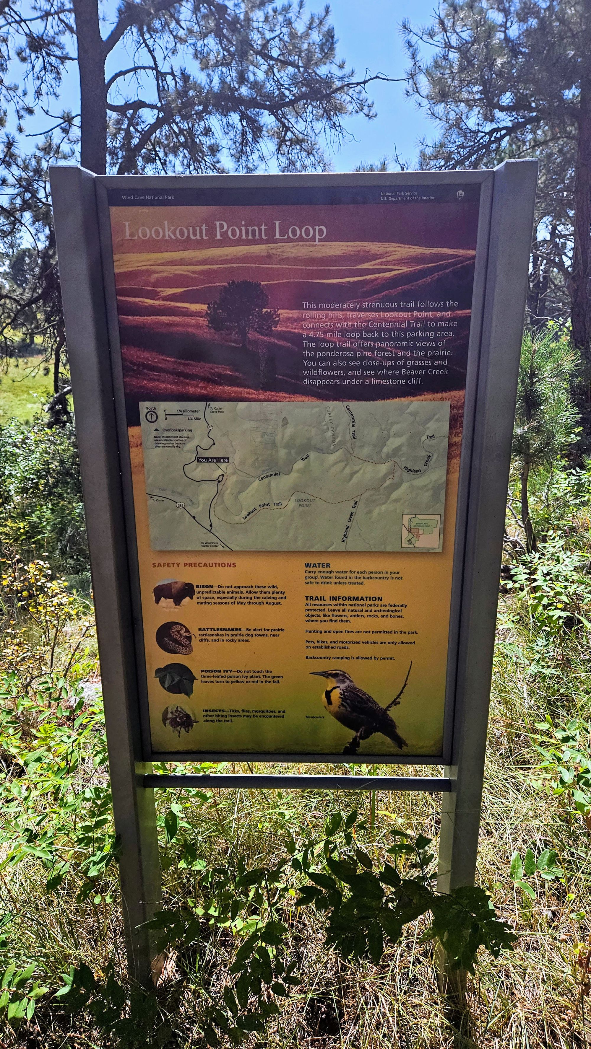
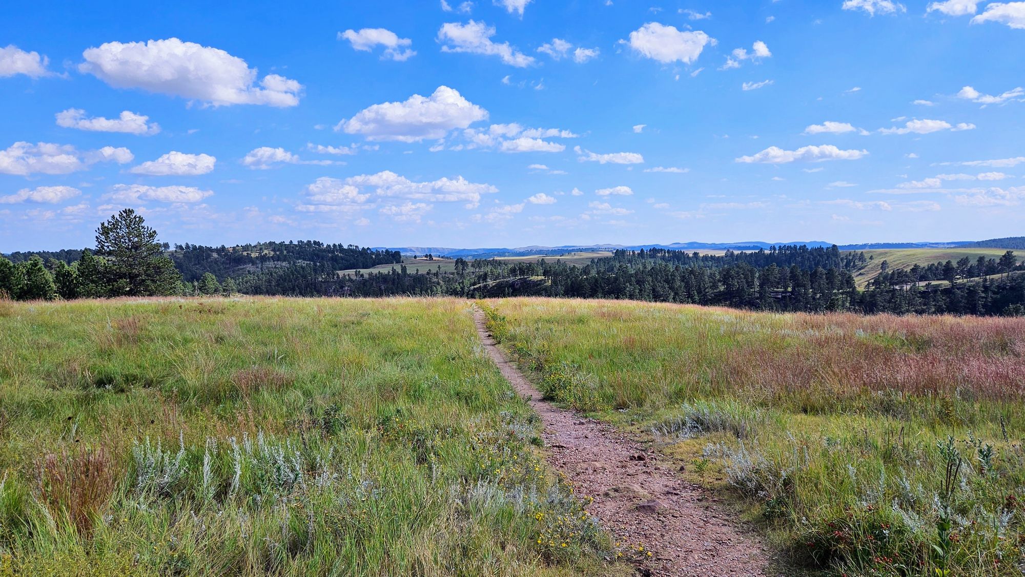
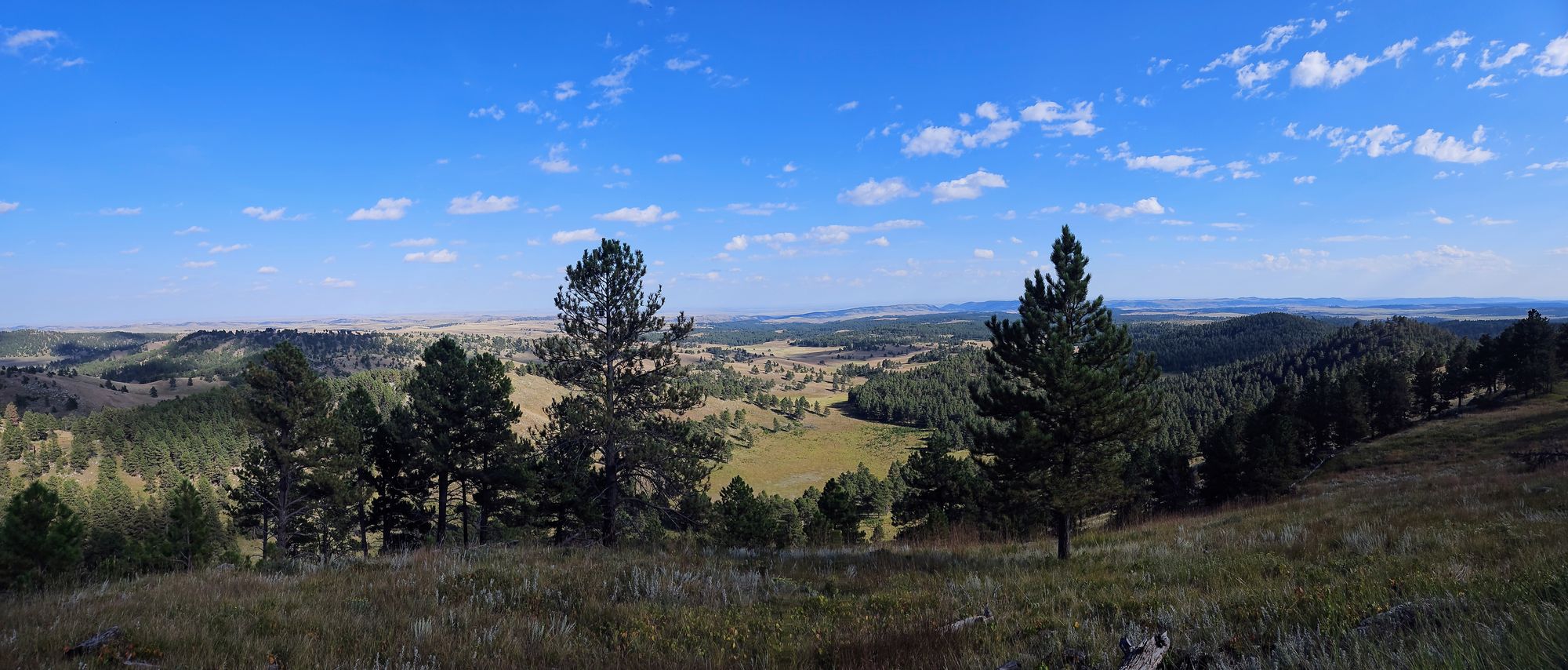
Middle: Lookout Point Trail and Centennial Trail Loop (~5 miles)
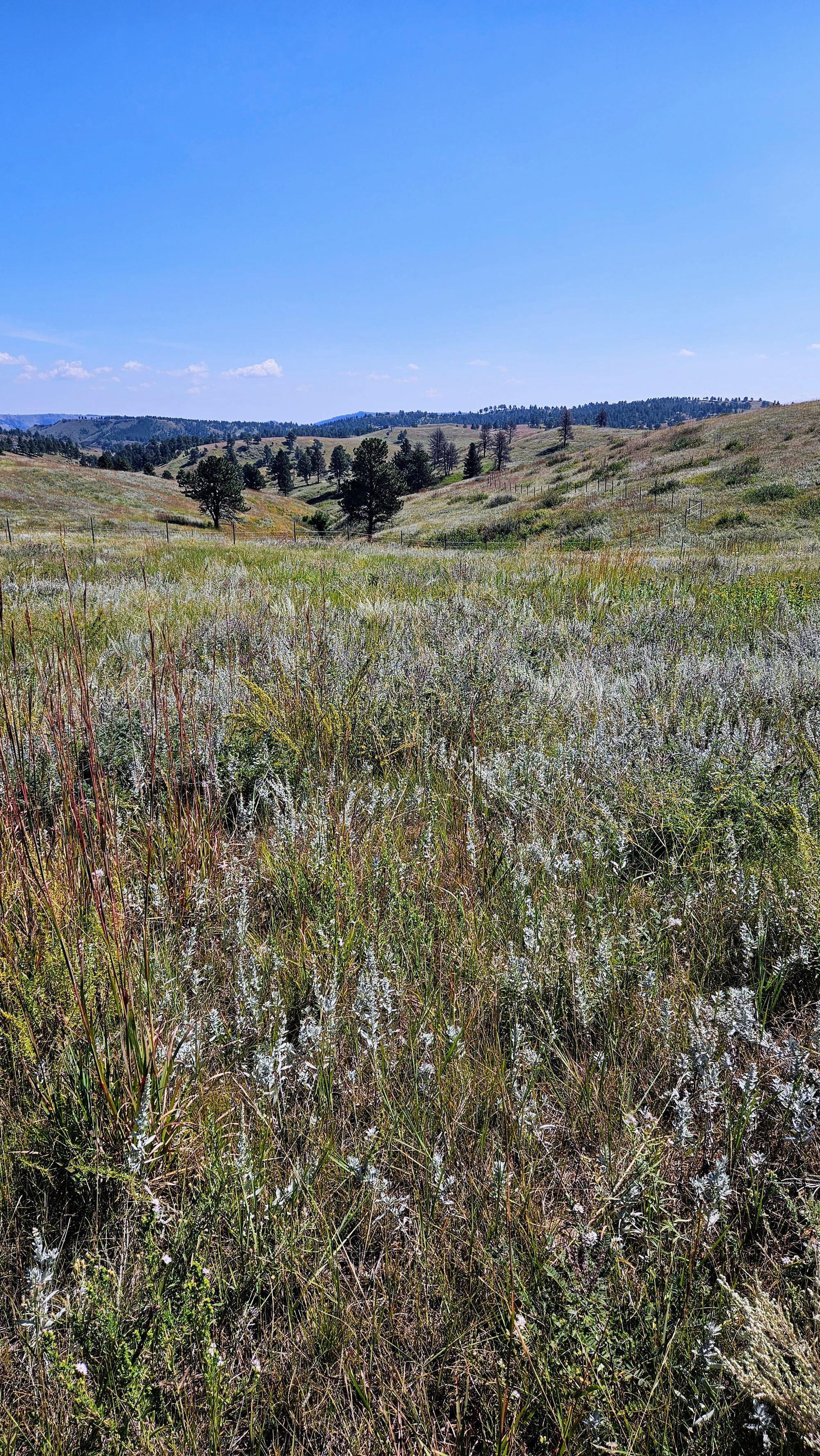
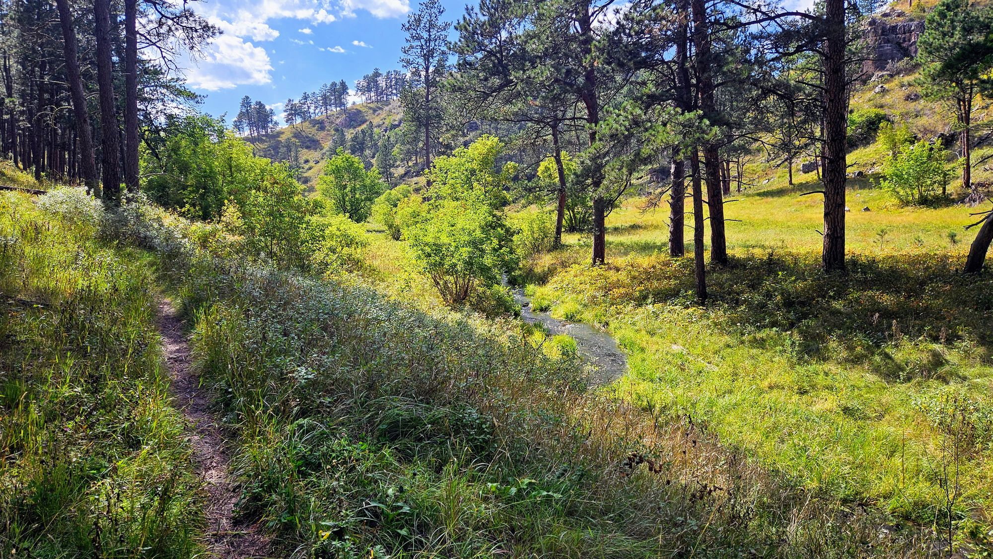
We heard lots of rave reviews about this hike, and so we decided to make it our longer hike of the day. It begins just off of Route 87 - a scenic drive in itself - and we took the loop counter-clockwise, beginning on the Lookout Trail and then making our way back on the Centennial Trail. We had hiked portions of the Centennial Trail during some of our earlier Black Hills hikes, as it is a trail that runs through the entire forest. Based on the reviews of this trail, we expected to see a variety of terrain, from prairies to forests to hills, and possibly lots of wildlife too. We tend to enjoy hikes where there is a lot to see along the way.
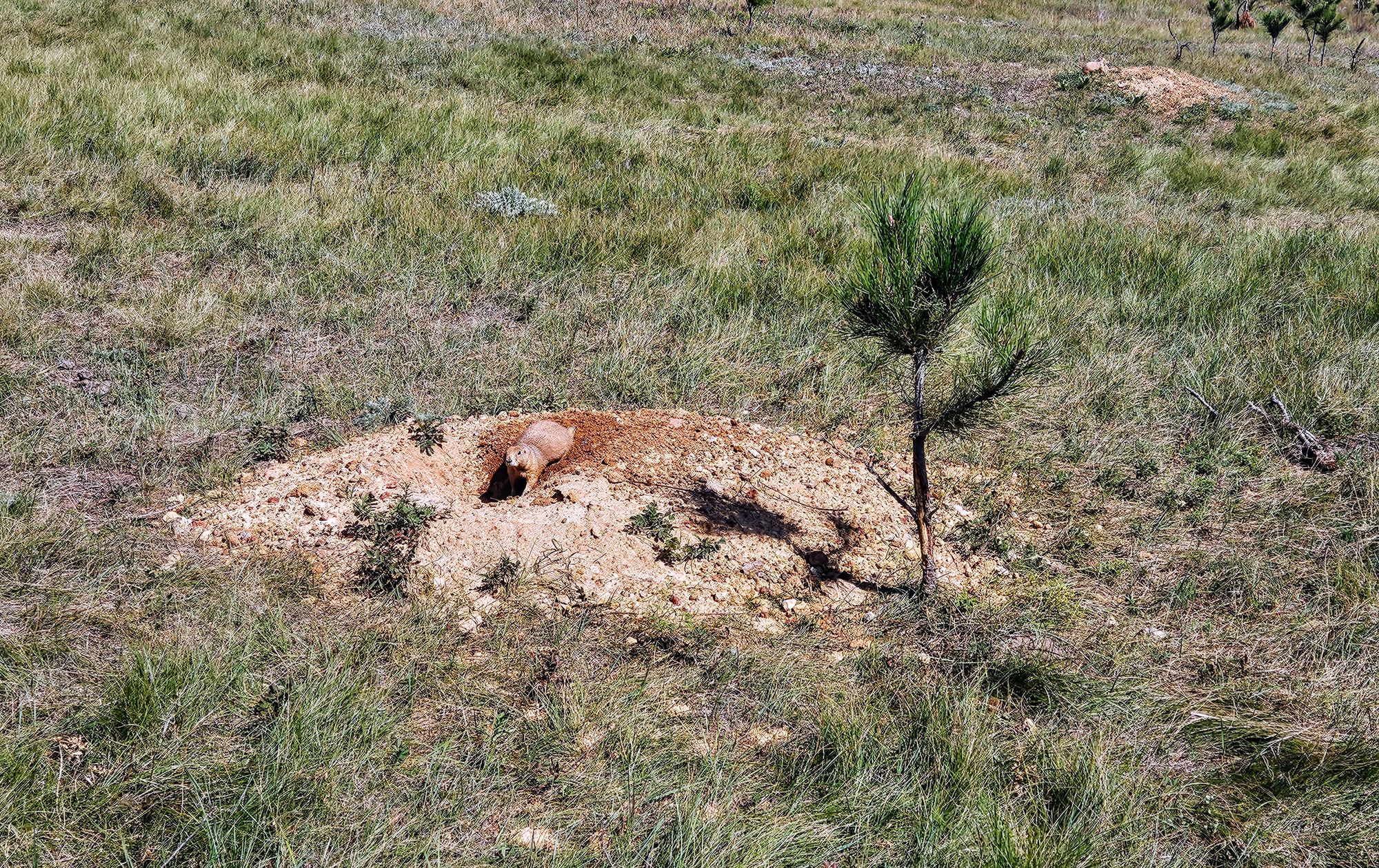
Not to rain on anyone's parade, but we just could not get into this hike. The 5 miles seemed to last forever, and with the noon sun beating down on us, we couldn't wait for it to end. There was nothing terribly grueling about it, and we did get to see all the prairie dogs in their massive habitat which is always cute and fun, but we had already seen a lot of prairie dogs, first at Devils Tower, then at Custer, and then in the Badlands. We did, however, get to capture a video showcasing their barks. They are definitely not as comfortable with people as some of the prairie dogs we saw in other places. Their barks are used to alert each other to potential threats, and as we walked through their town, it was clear that we were that potential threat.
One unique habitat development we noticed was that many of the prairie dogs used the small infant pines to shade their coterie mounds. Do they get hot in the prairie sun too?
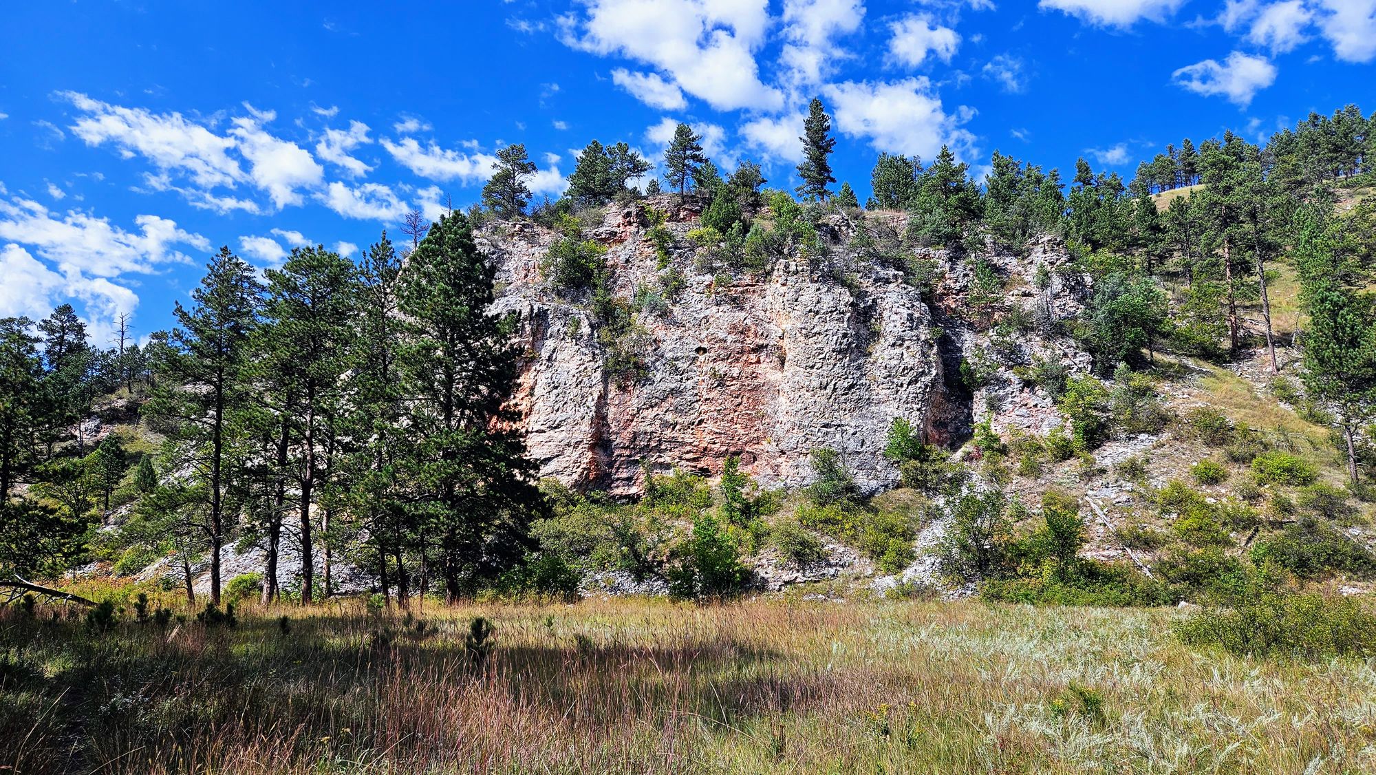
Now, we won't say that the scenery wasn't beautiful, because it definitely had its moments.
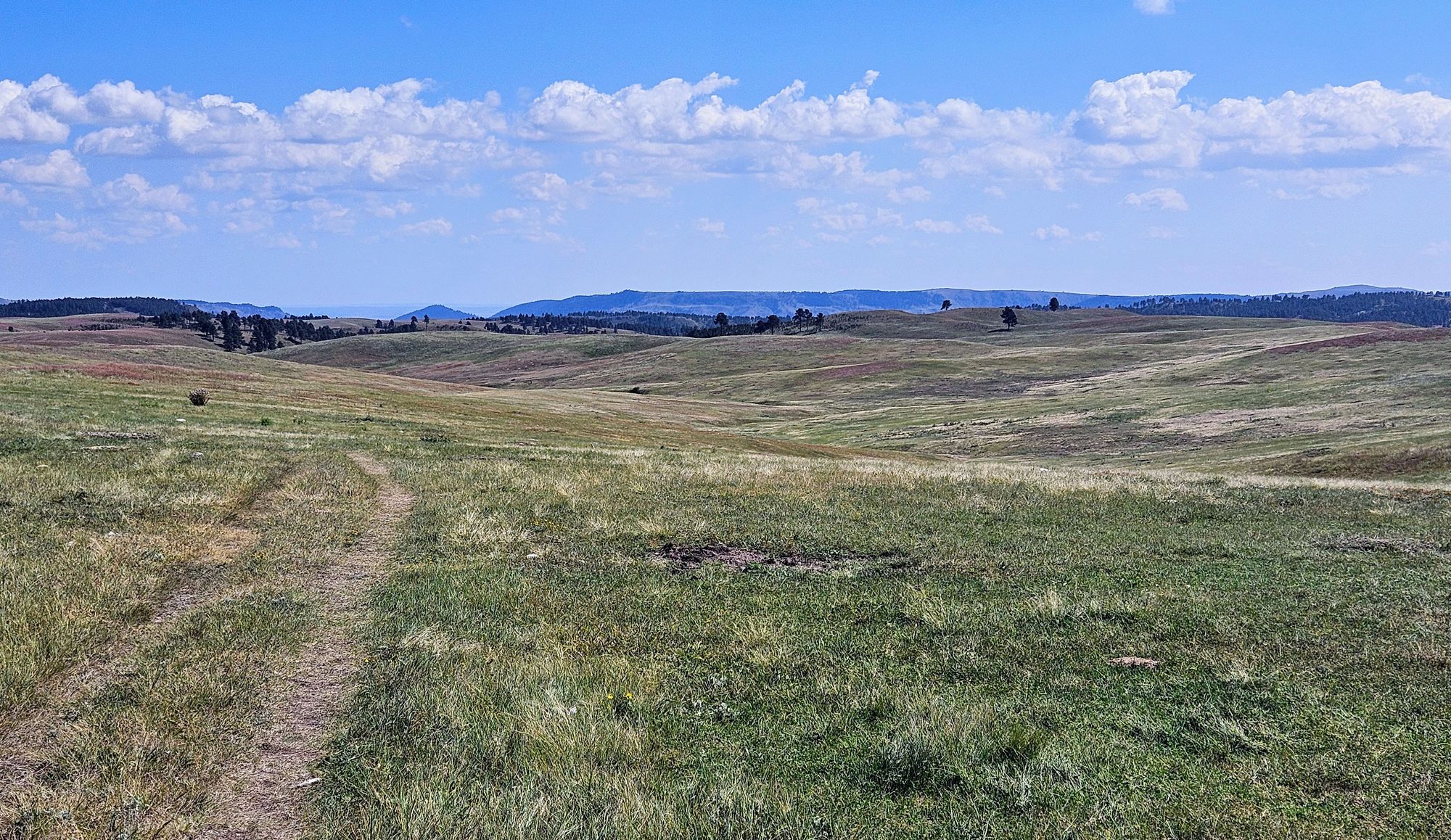
We have to stay realistic, though, that compared with the other hikes we did in the Black Hills, this one pales. Perhaps we had officially spent too much time in the prairie and were ready for a change.
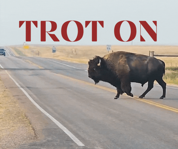
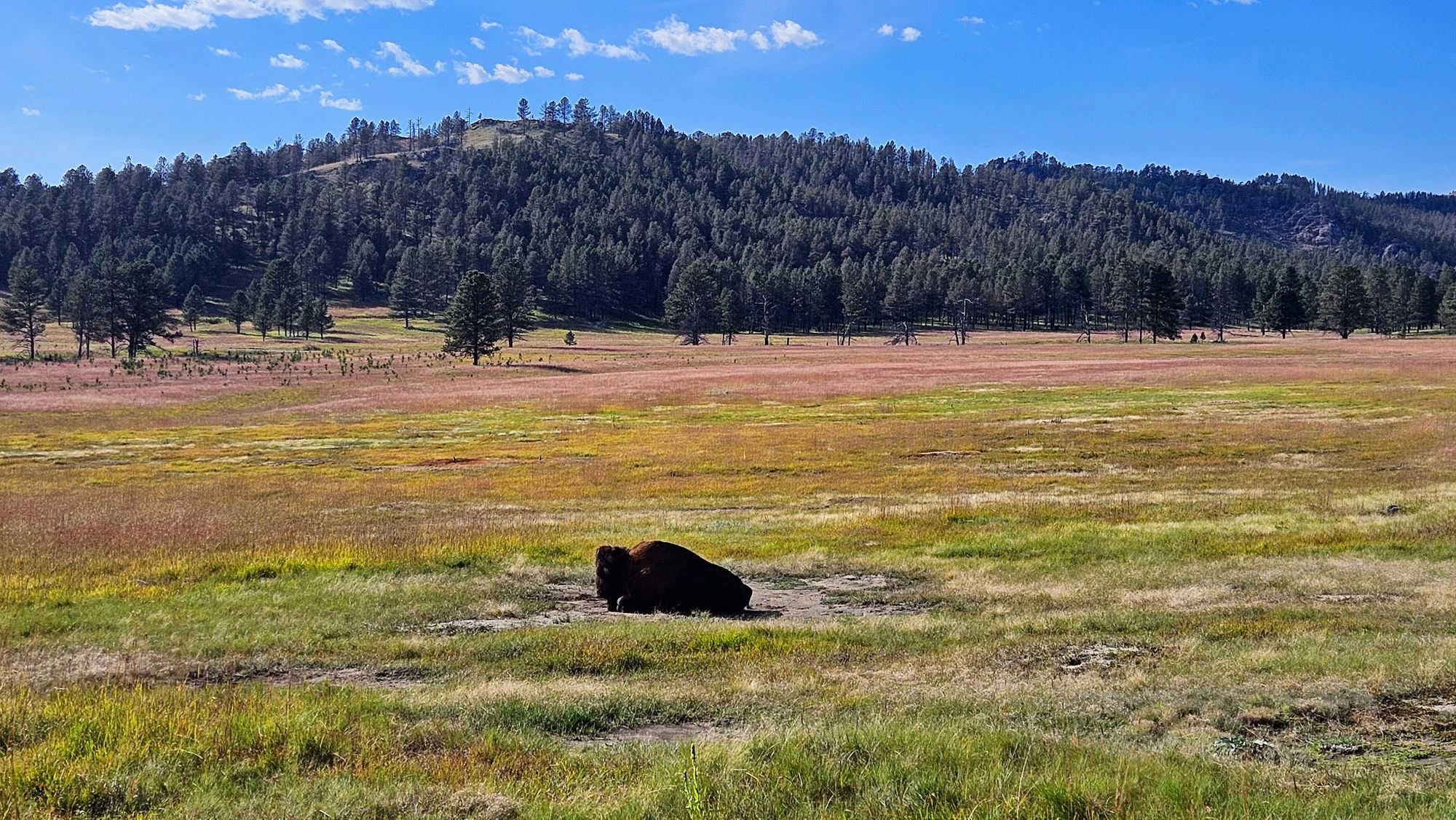
We kept a lookout for bison, as we had heard many tales of hikers needing to "share" the trails with them, which is a little scary considering how narrow the trail was in some places! We saw lots of evidence of bison, but no bison themselves. That basically means we were just dodging massive bison patties the whole hike - some bigger than Anthony's hand.
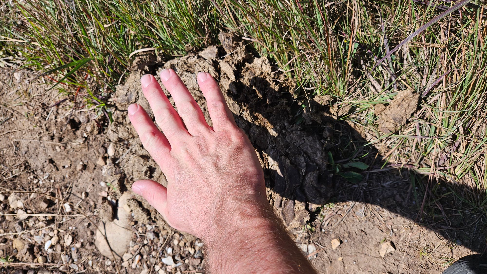
Some of the bison patties also made it seem like the bison may have had a little too much fiber for breakfast...if you catch our drift...
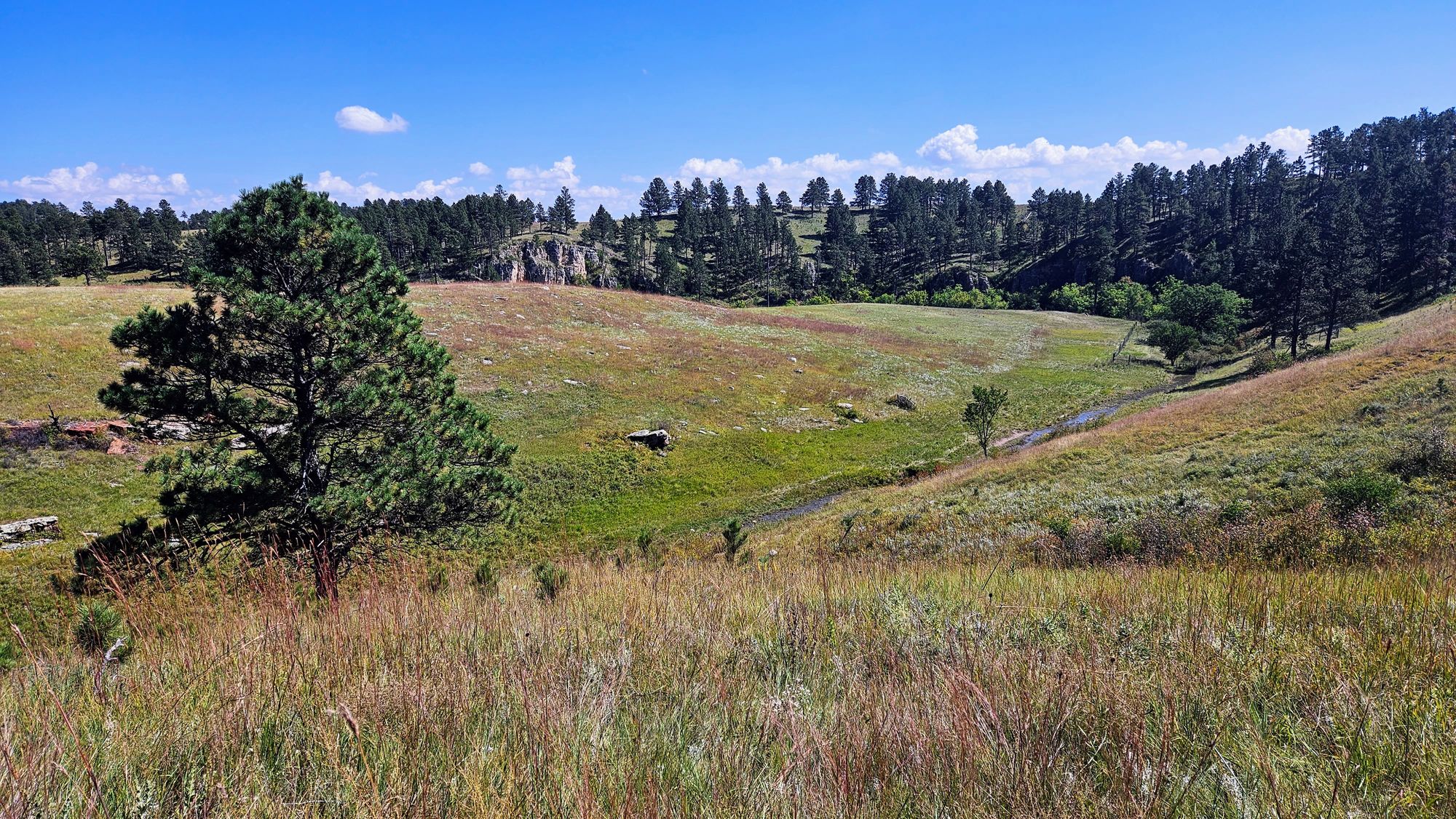
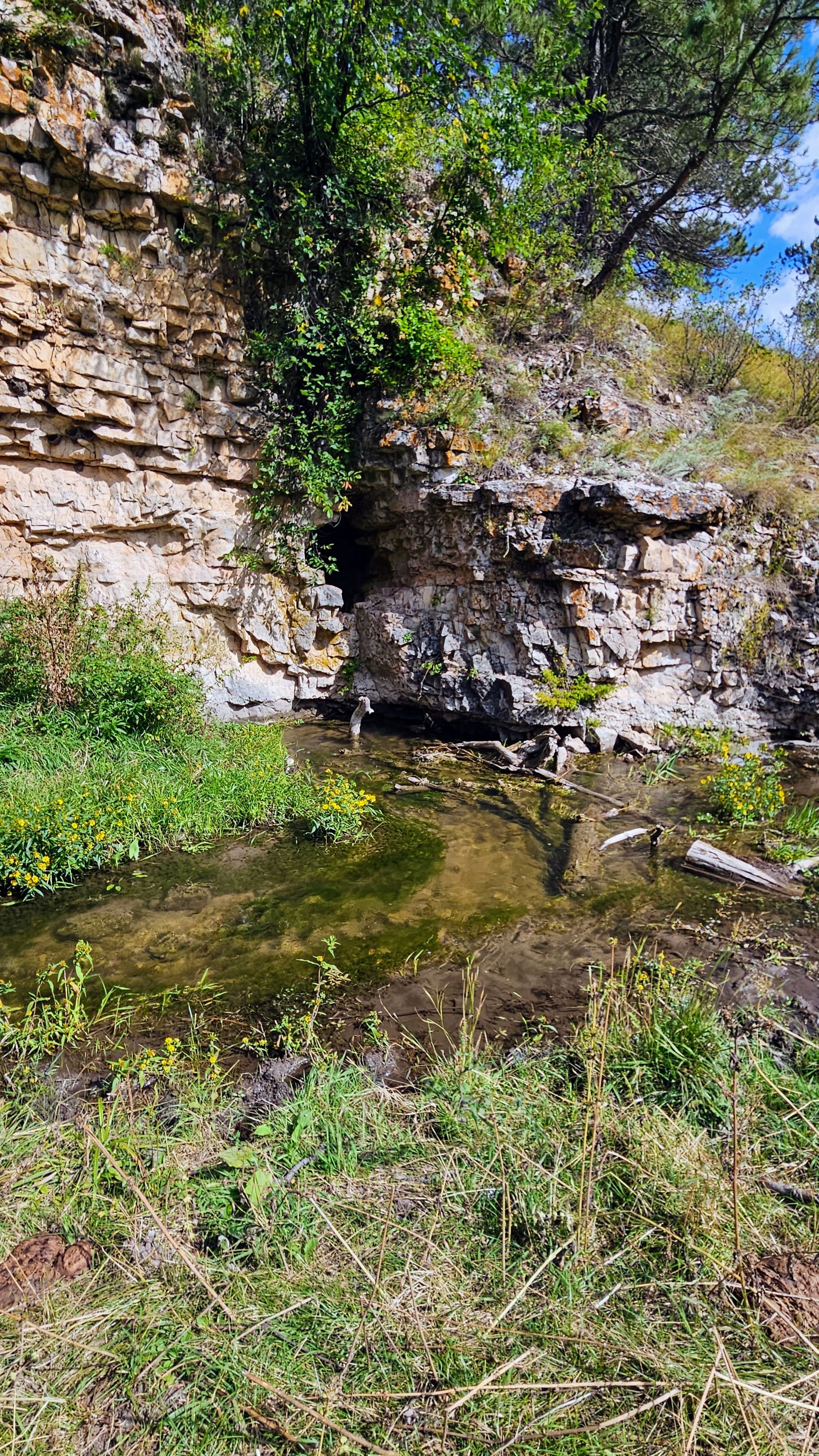
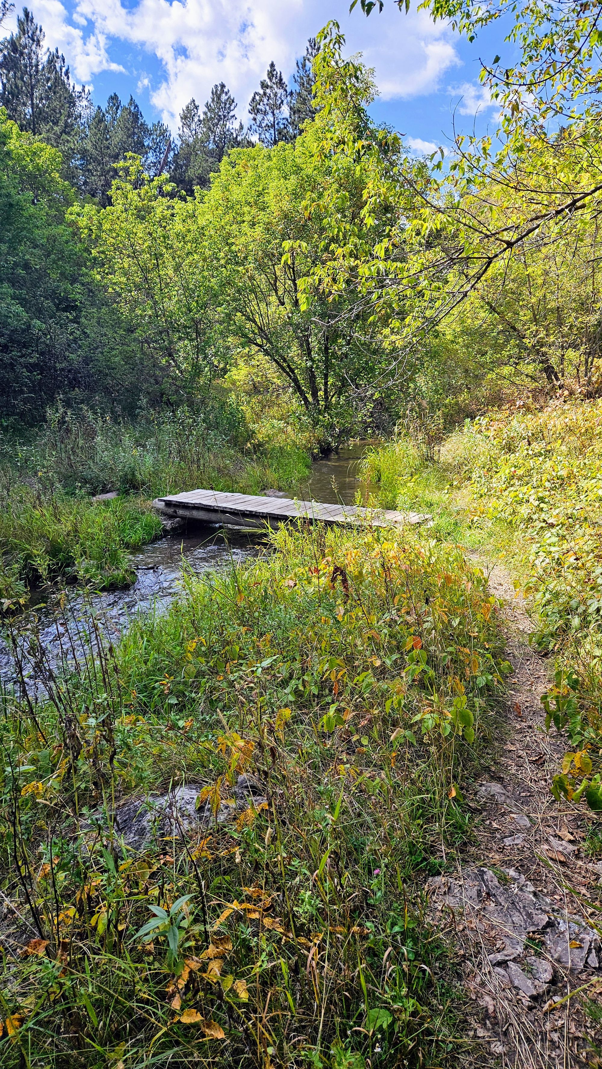
Then, when we looped around and met up with the Centennial Trail, we had a few moments of reprieve from the hot sun, but then we were met with tremendous overgrowth, where at times we couldn't even see where we were placing our feet. Try avoiding the patties then!
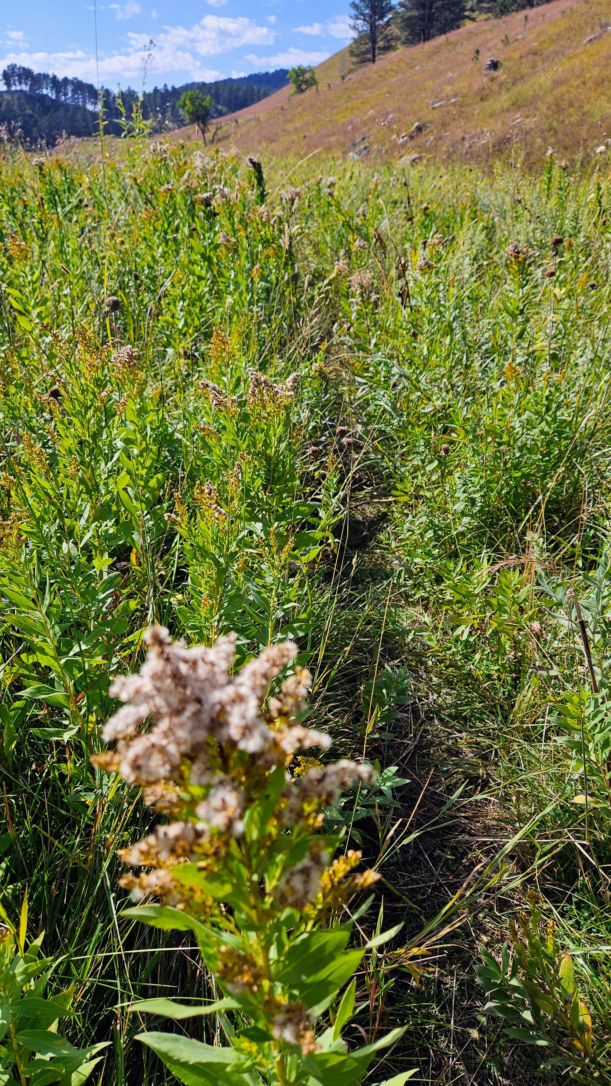
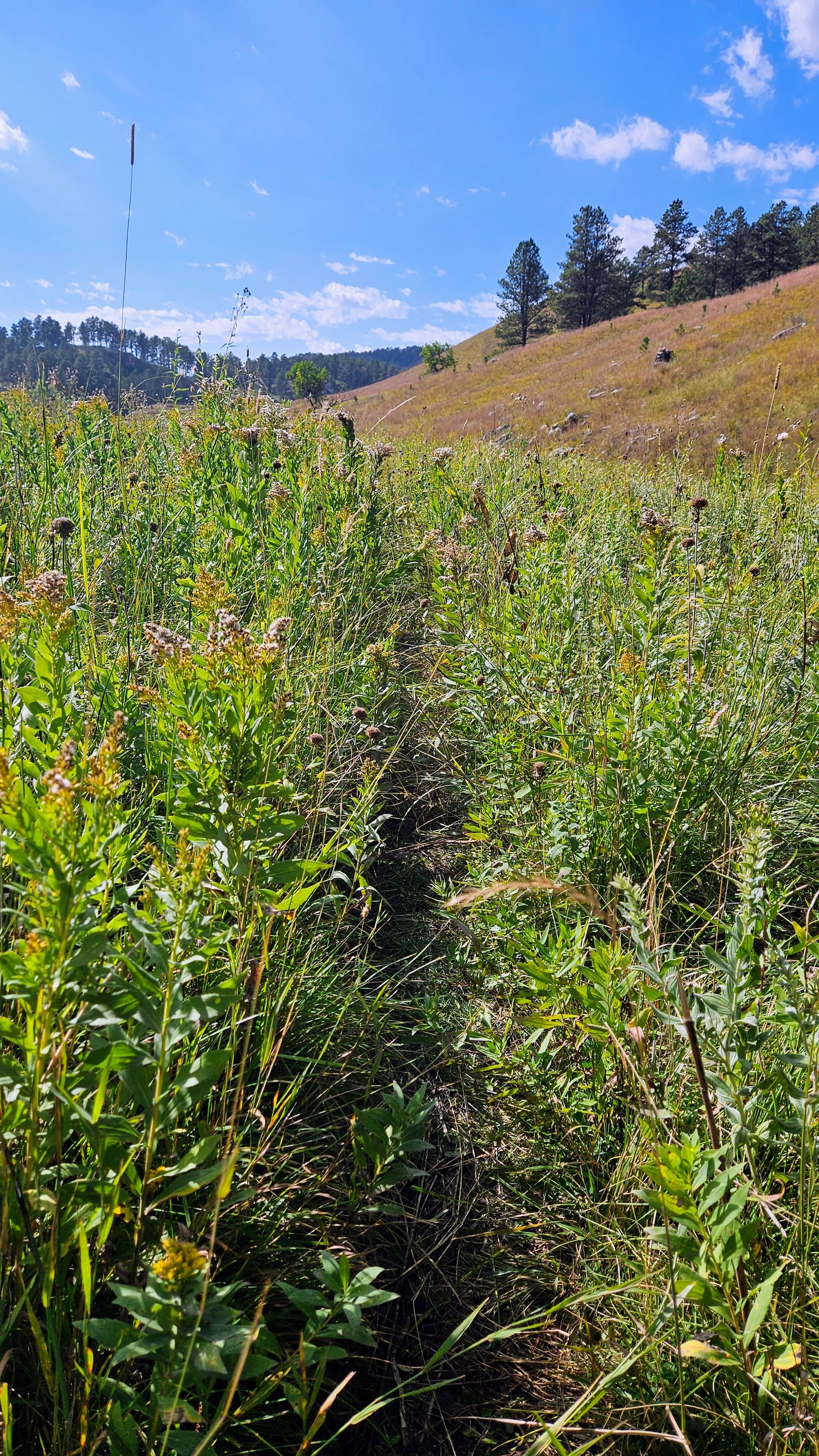
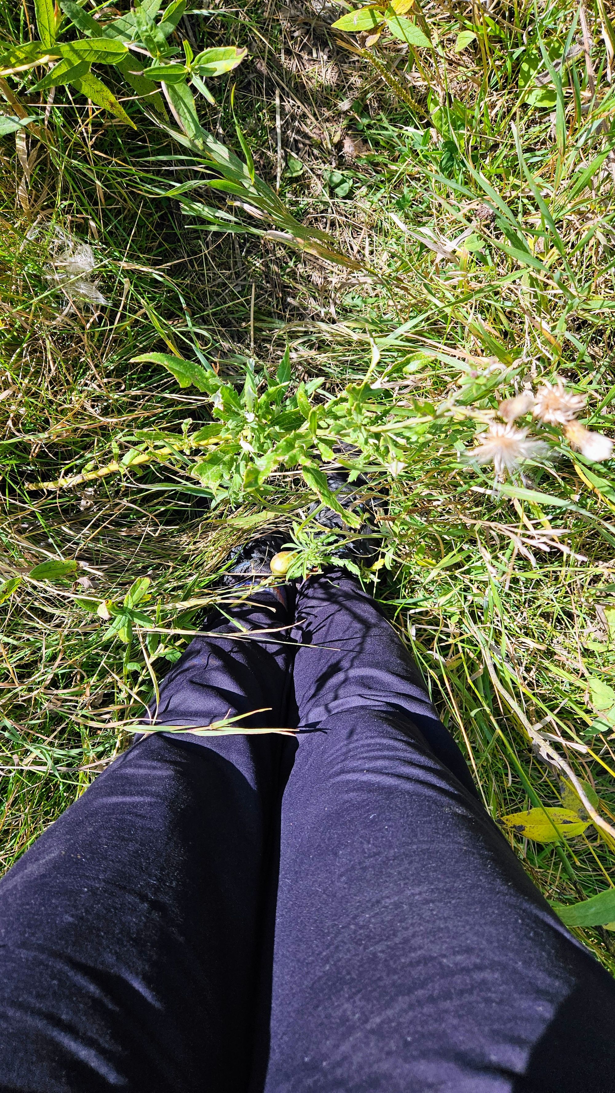
Lots of poison ivy grows along that trail and it's unavoidable, so we very much recommend wearing pants for this trail. The plus side was, the poison ivy had already turned for the season, as it's one of the earliest plants to do so. The colors were lovely. We also came upon some cool rocks and stream crossings.
Every hiker goes through this, where some hikes twice this length seem to go by in a flash, while others are just daunting. It's usually a mental thing, and maybe we were just not in the mood for it, but we couldn't wait to get back to the truck. Too bad the trail ends with a steep quarter-mile climb, just there to drive the point home that we were not in good hiking spirits.
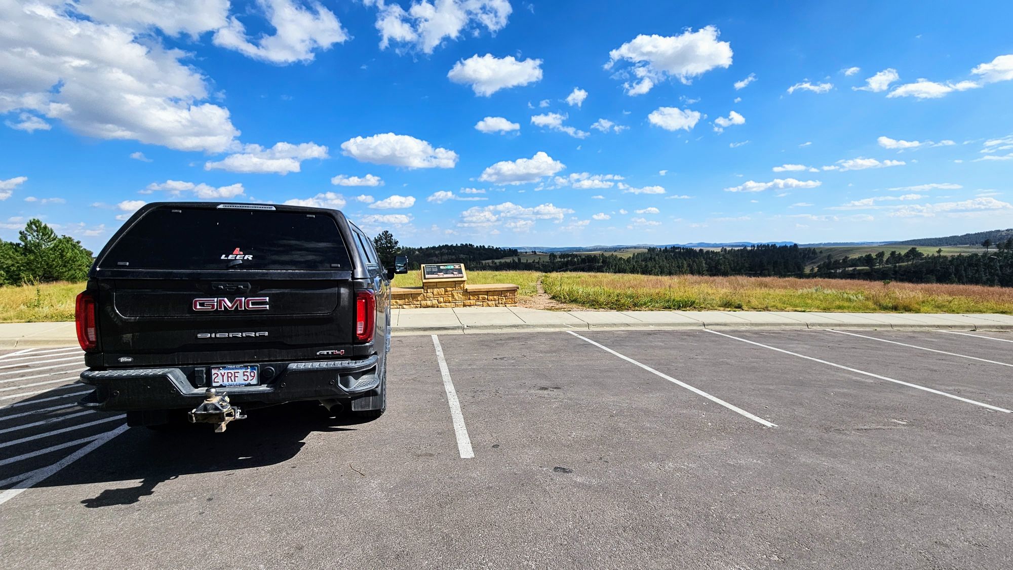
After that hike, we didn't know if we wanted to continue on with our plan, but we knew that driving further up route 87 would yield us some nice views and also give us a breather before tackling our 3rd and final hike. We decided to make the drive and then see how we felt. The drive did help to give us a boost. We love scenic drives through national parks, stopping at the various overlooks and taking our time to appreciate nature. By the time we got to our final trailhead, we were ready to hike again.
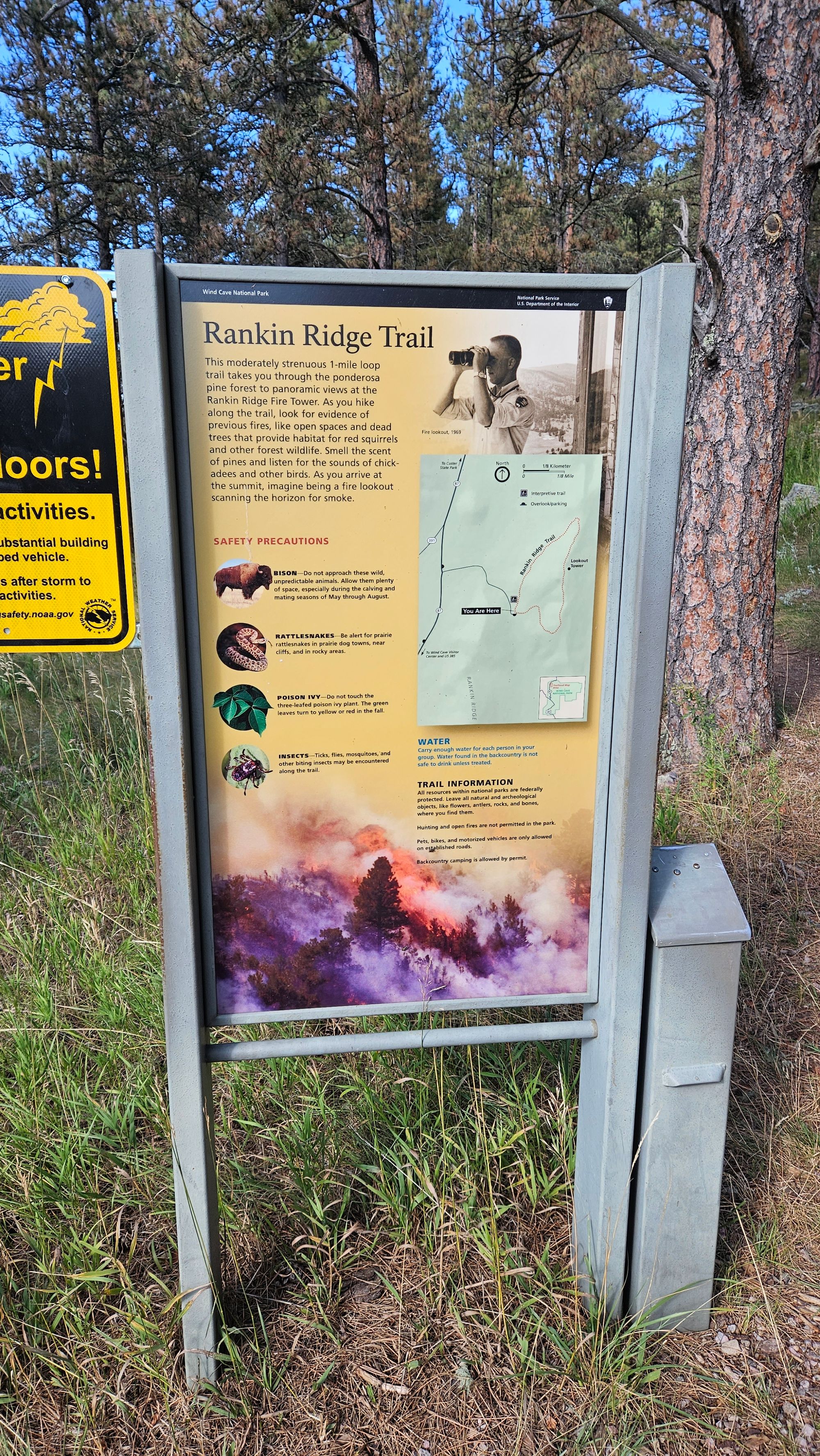
North side: Rankin Ridge Trail (~1 mile)
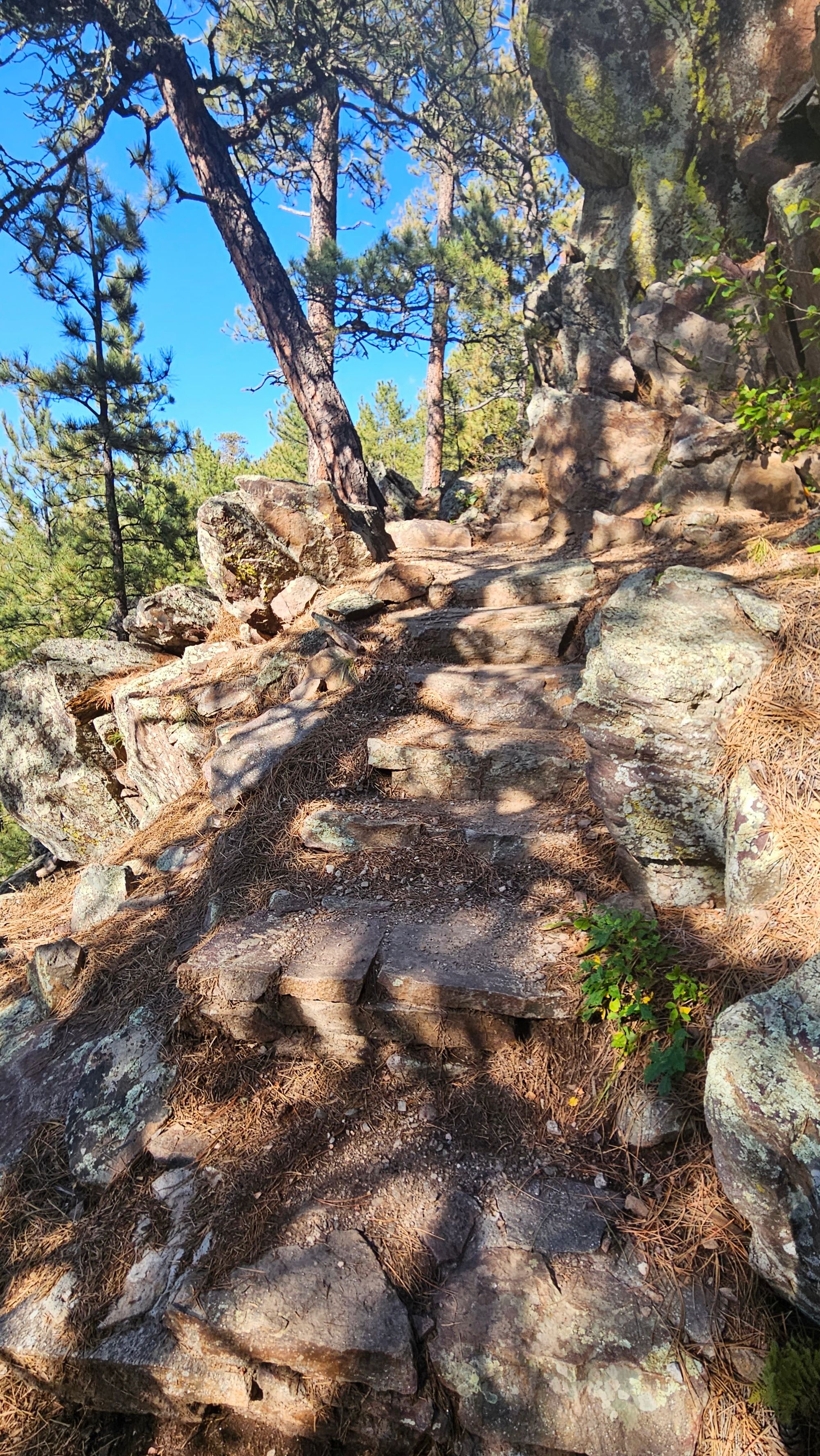
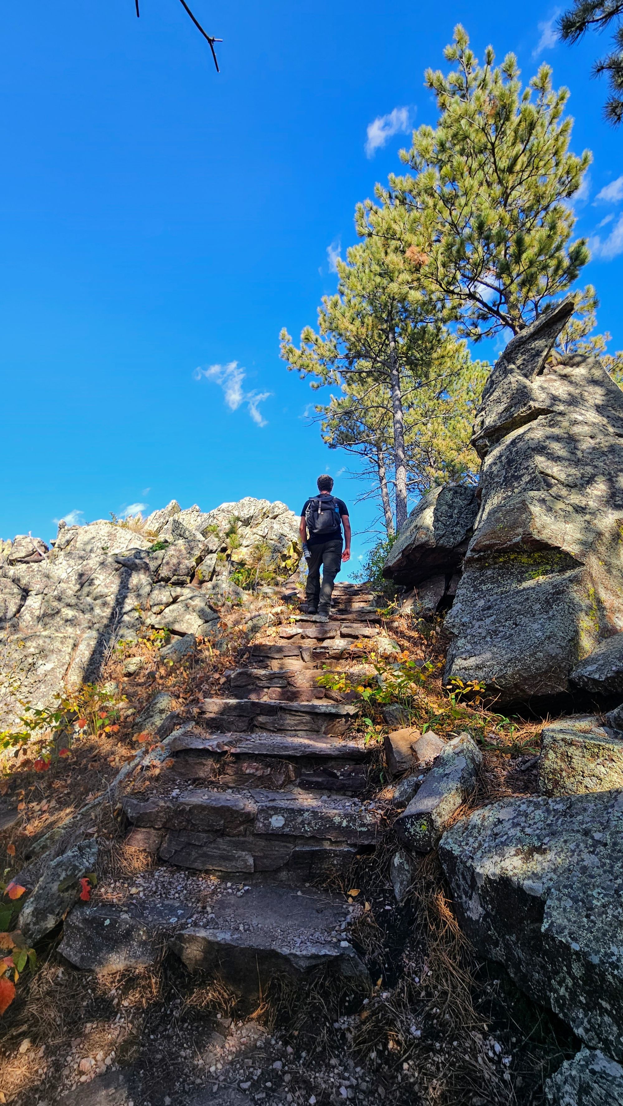
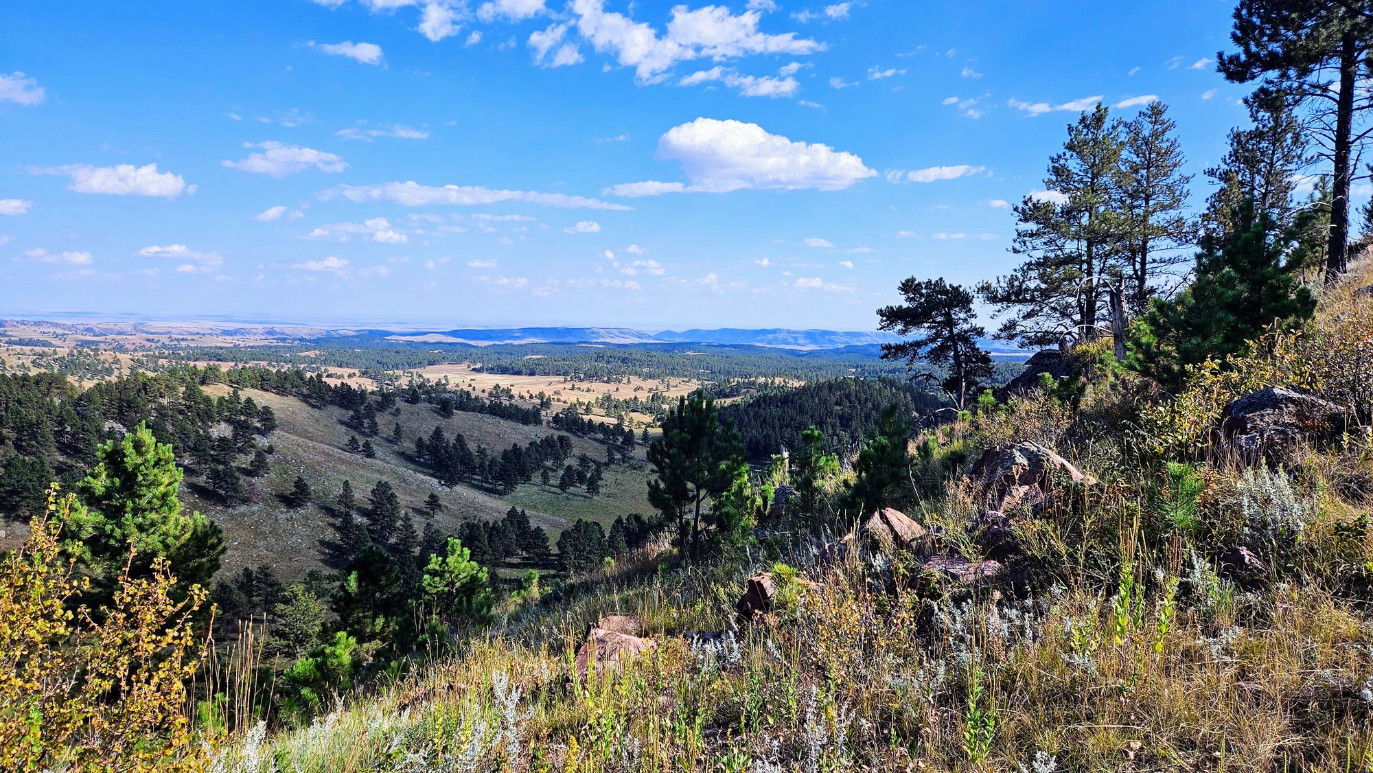
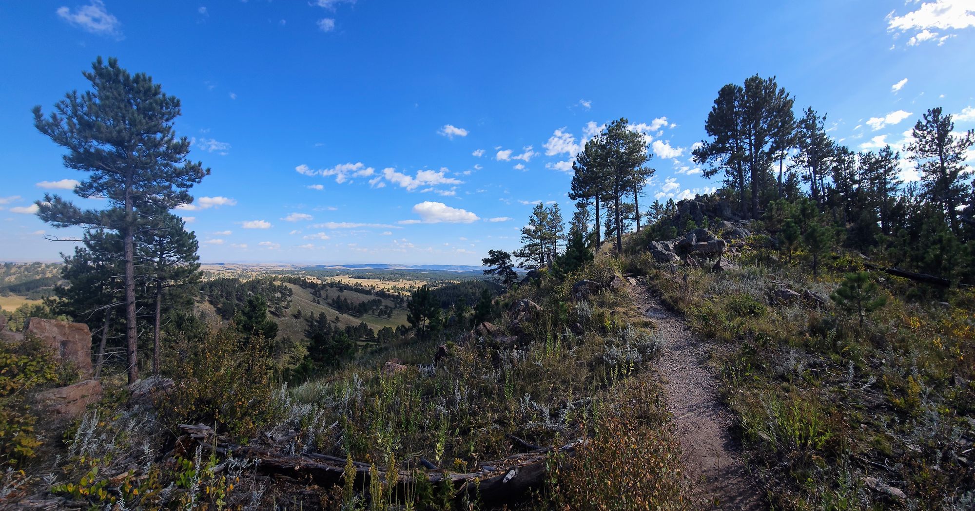
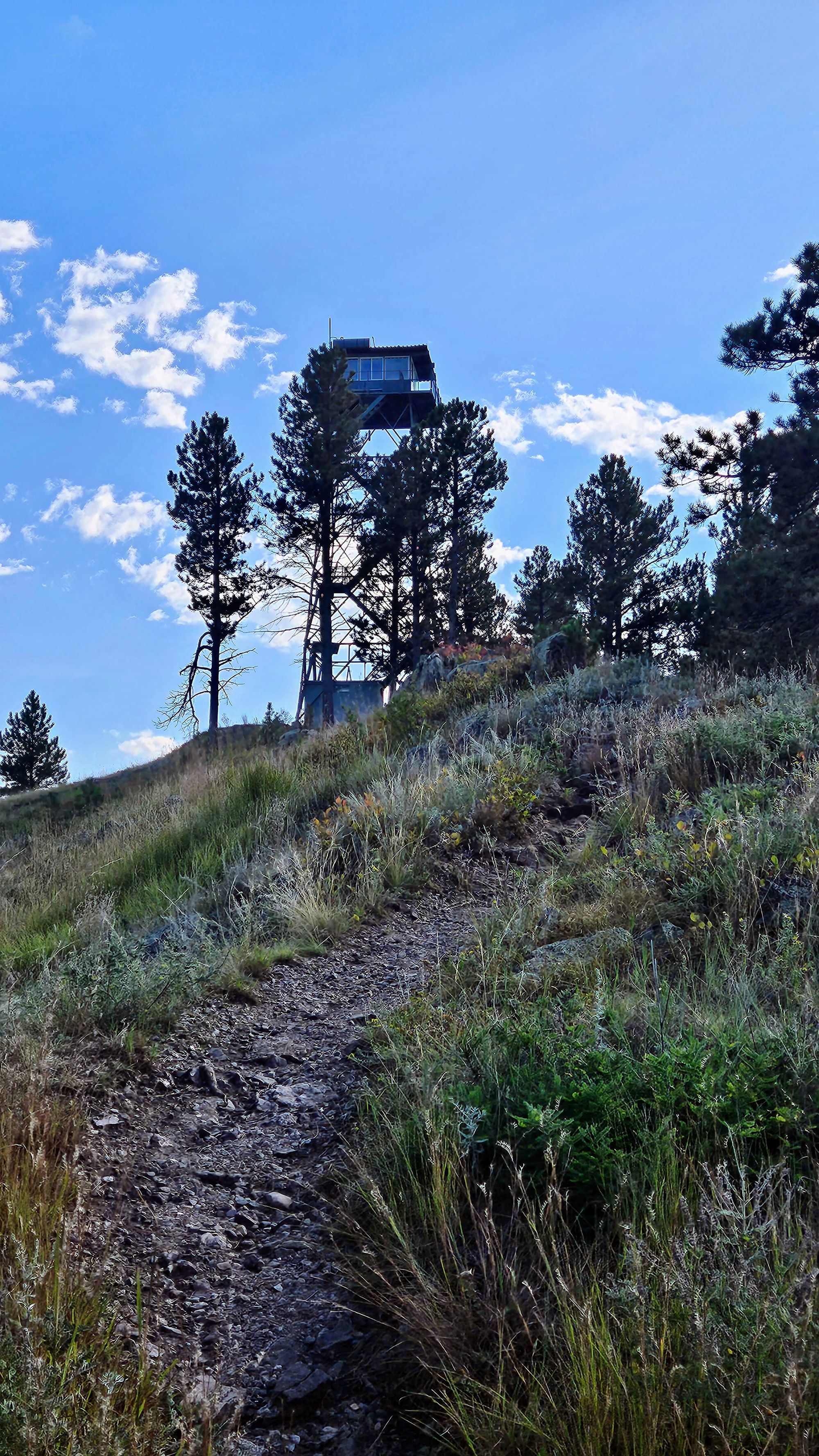
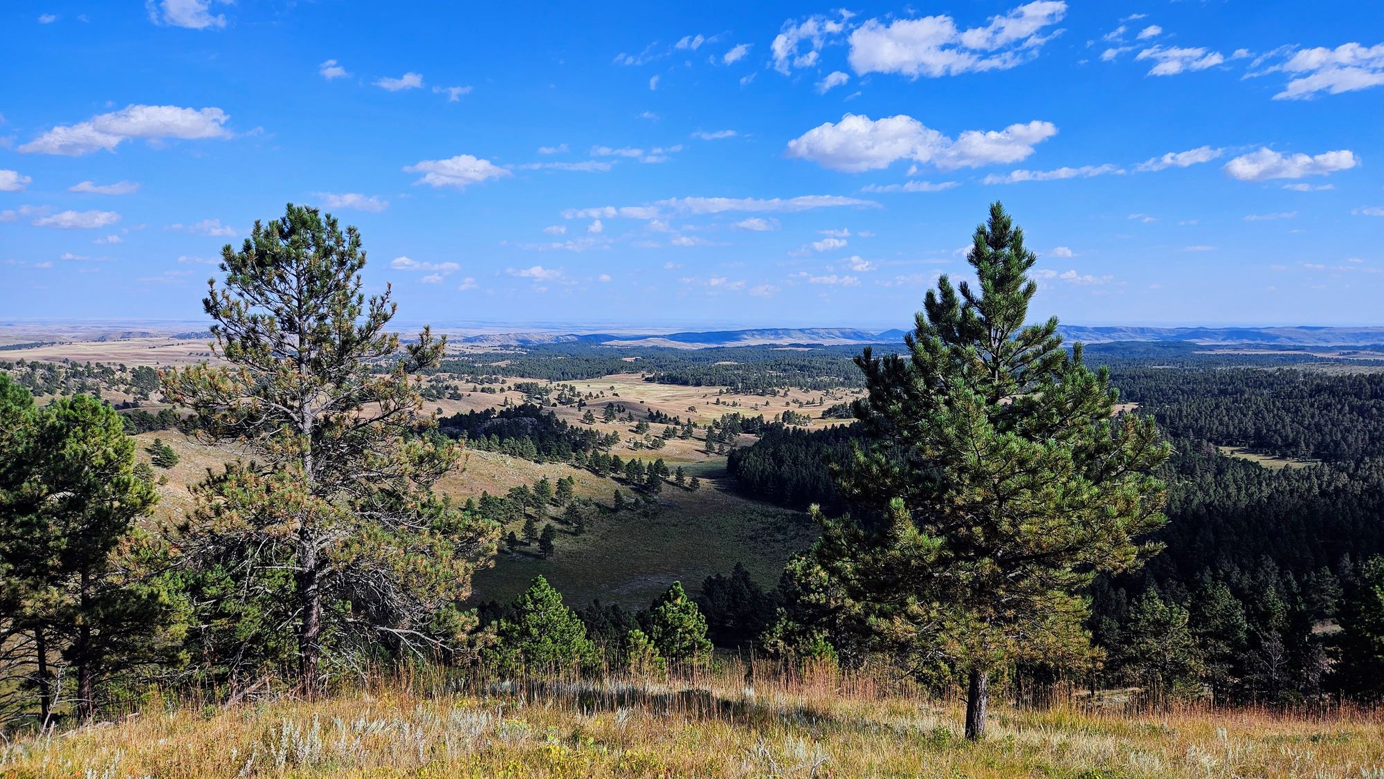
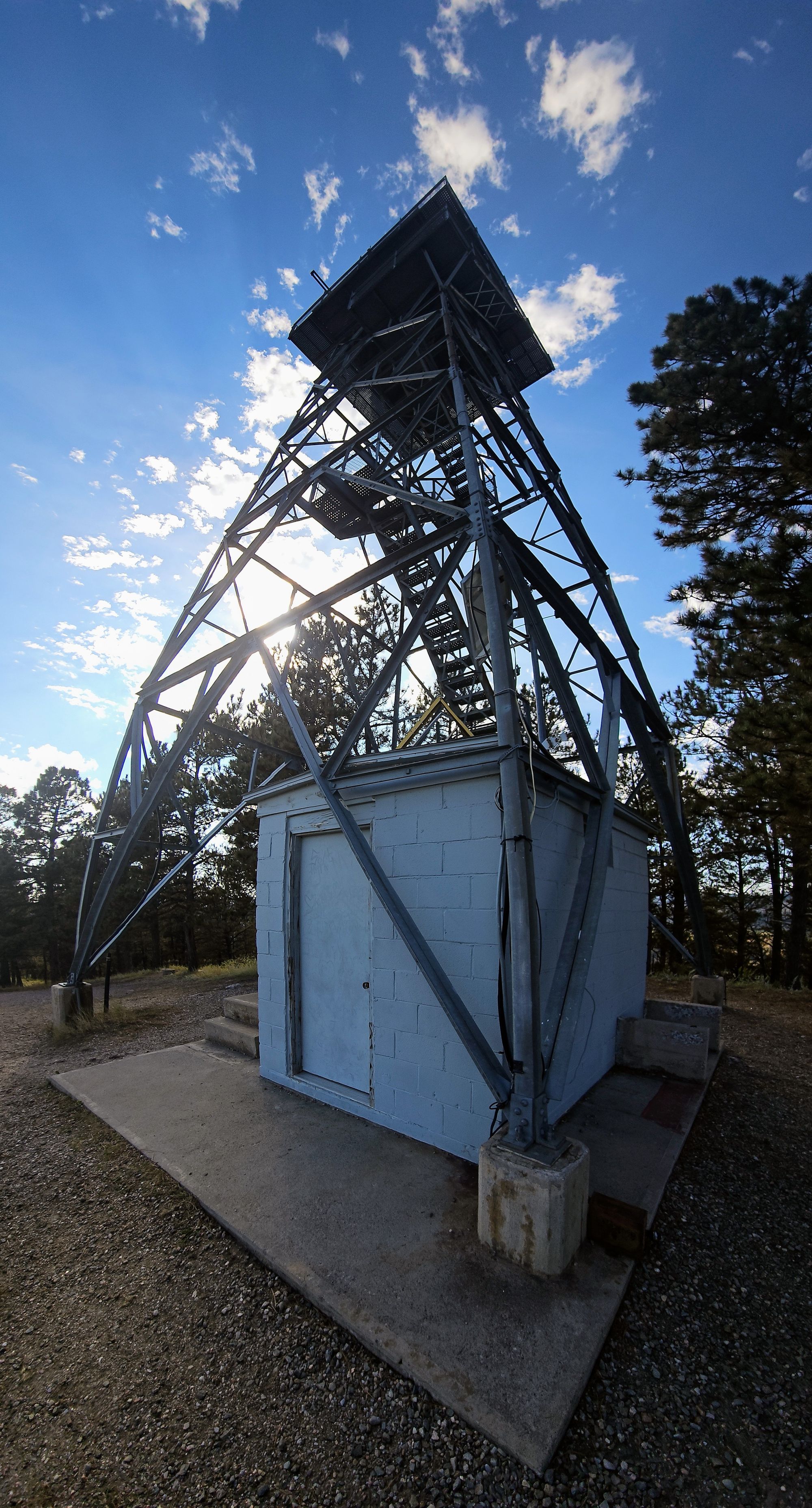
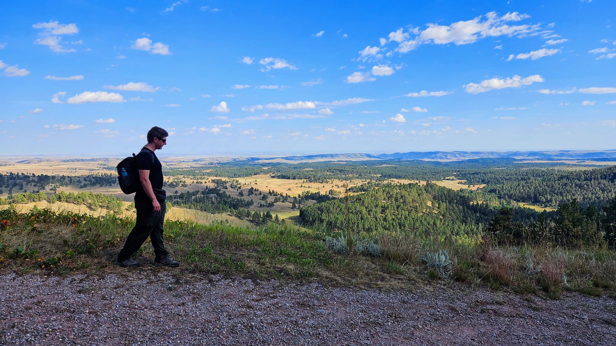
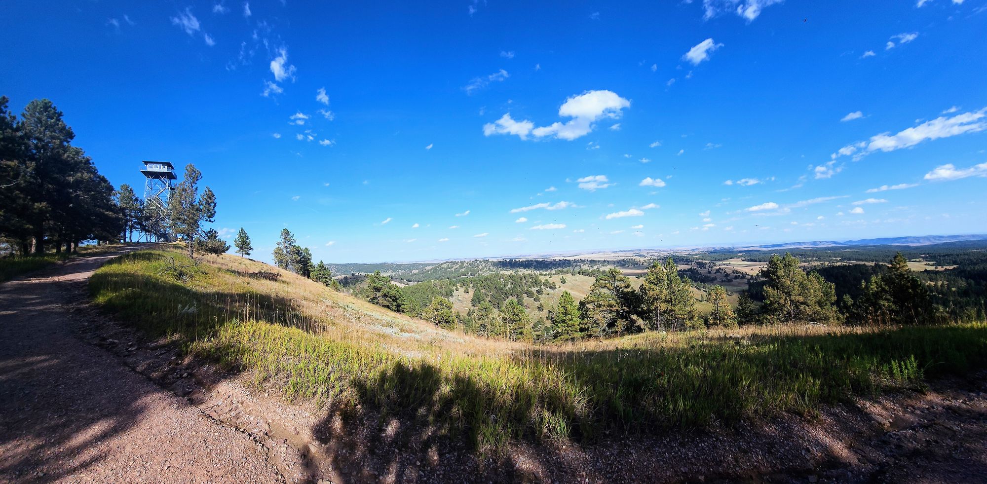
All Trails deceived us on this one. On the website it's titled as an interpretive trail, which to us usually means an easier trail with lots of signs and exhibits. We expect to be educated along the way. Rankin Ridge is not that, and don't let the distance fool you; it is a climb. We didn't go in totally unknowing, as we got the inkling when we noticed our truck climbing halfway up a hill with a fire tower in the distance. We checked the elevation map, and sure enough, we'd be hiking the rest of the way to the fire tower. The trail sign confirmed it, calling the trail "moderately strenuous."
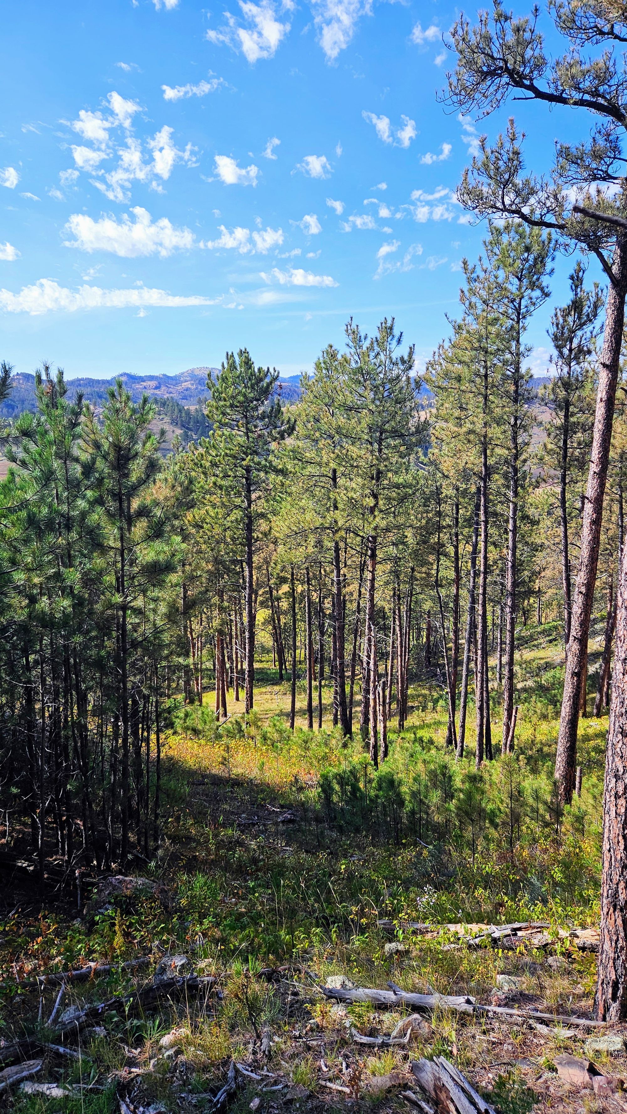
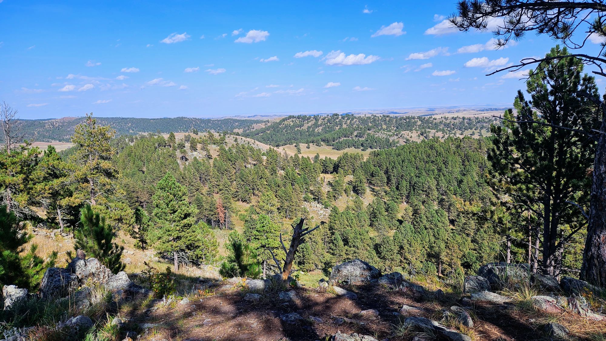
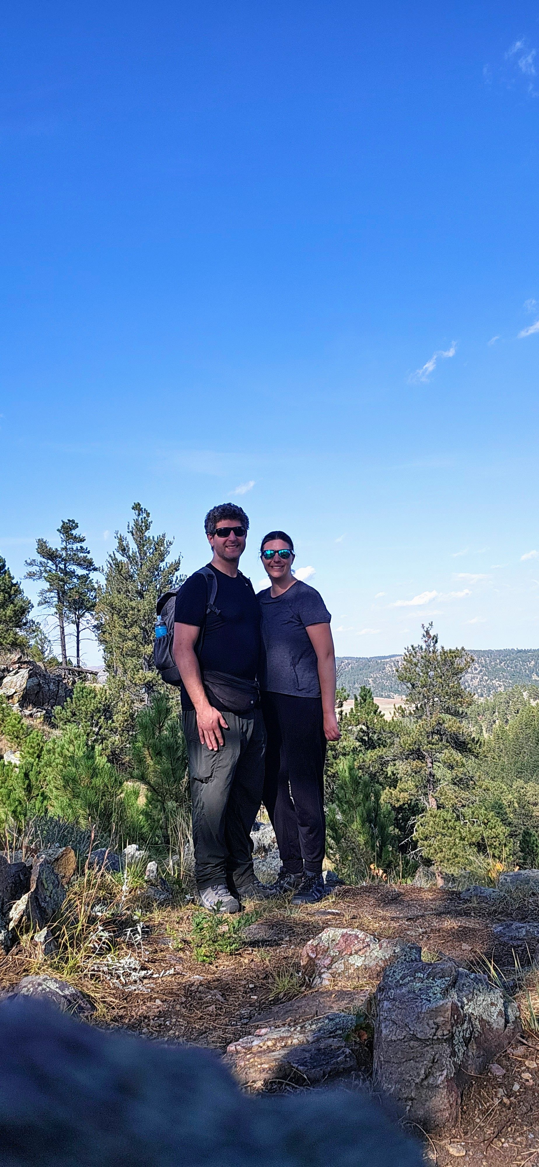
It definitely was not an interpretive trail. It was better! The climb wasn't easy, but it was lots of steps made of boulders, which we tend to enjoy. The views at the top are incredible, and finally we were seeing the true beauty of Wind Cave National Park above ground. The fire tower was blocked off, but we still got to see the grasslands below, the ponderosa pines, and even a glimpse of the Badlands silhouetted in the far distance. The loop closes with the service road, so we took that down back to the truck. Hands-down this little trail was our favorite of the day, and on the drive out, we were rewarded with our only bison sighting.
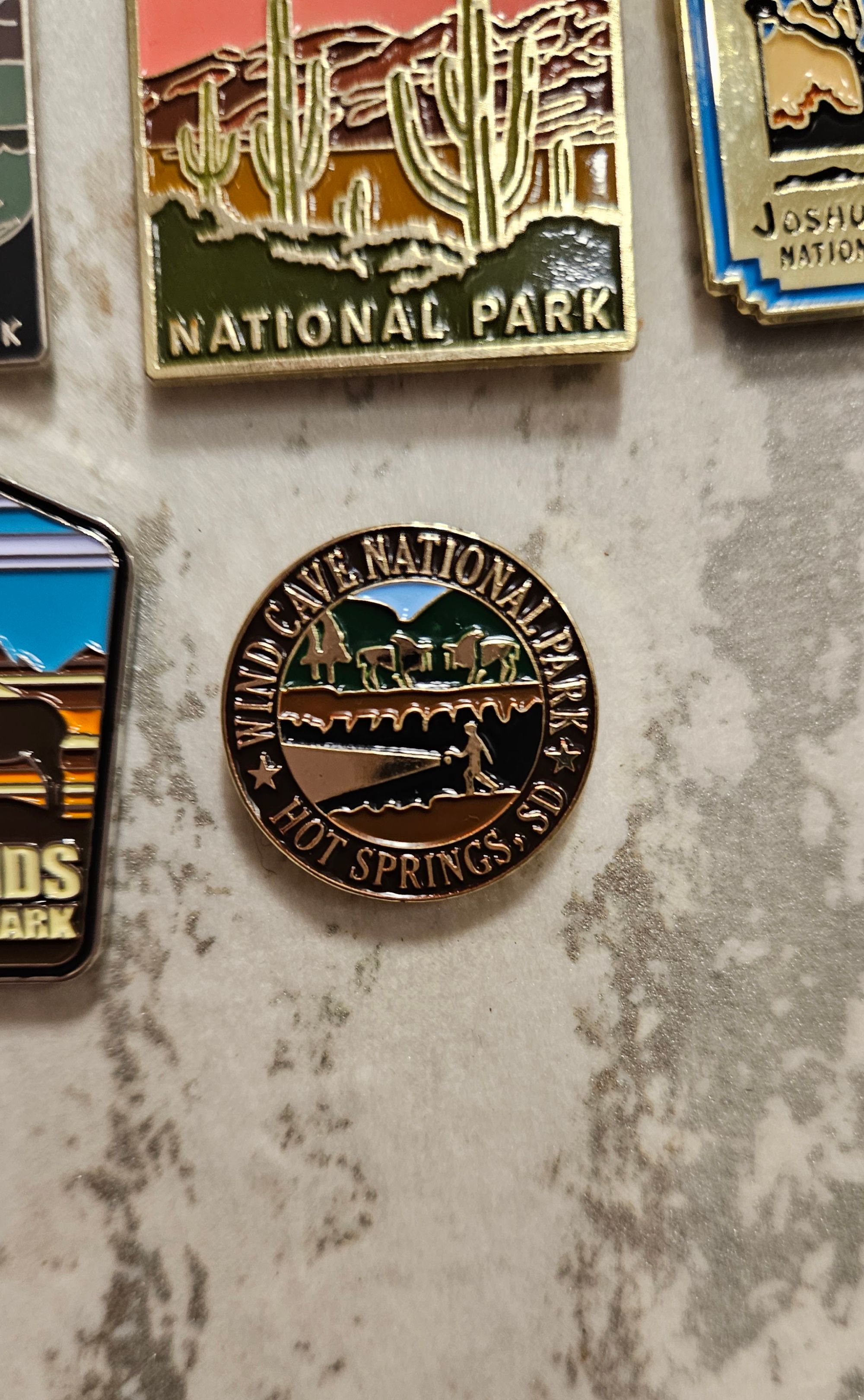
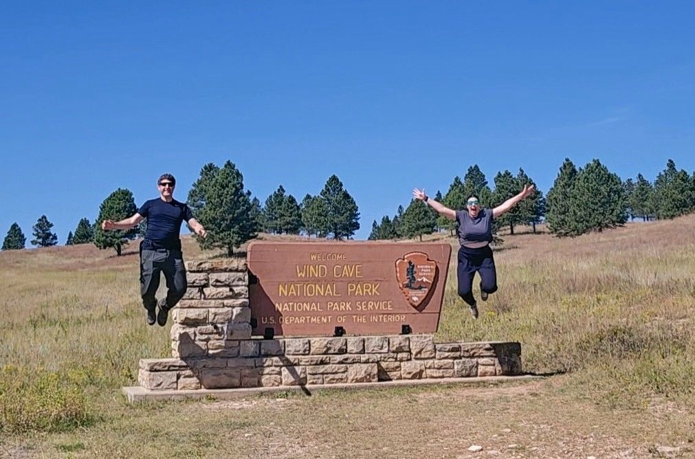
So, after our day exploring the non-cave features of Wind Cave, what's our consensus? Was it worth it to go? Our visit certainly had its positives, and we honestly don't know if we would have traveled that far north in the park if we had also booked a cave tour, so we're happy to have experienced our little mountain climb up Rankin Ridge. In fact, it's not far from Custer State Park, so this could be a fun detour from there, if you want to approach the park from the north. All that to say, we honestly don't think our visit to Wind Cave was worth it. We would have been more satisfied if we had been able to do a cave tour and then maybe a hike or drive. But, cave or not, we earned our 19th national park pin, and we're happy about that.