Watkins Glen hikes - the famous Gorge Trail and more!

Watkins Glen, New York. We have had our eye on this place.

In 2022, we set our sights on Watkins Glen State Park, with plans to stop there on our way back from Niagara Falls. We didn't have solar yet, so we tried to grab one of the coveted electric sites, available in only two loops of the six. We set availability notifications so Reserve America would alert us if a site opened up, and as soon as one did, I booked it. Then I didn't bother turning off notifications, hence the emails galore.
After all that effort and all those emails, we didn't even end up going. Instead of heading back east after Niagara, we continued west to Indiana. Why? The unending repercussions of this dramatic incident:
 Nicole Anderson
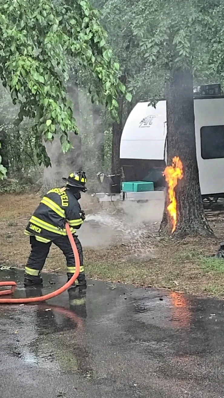
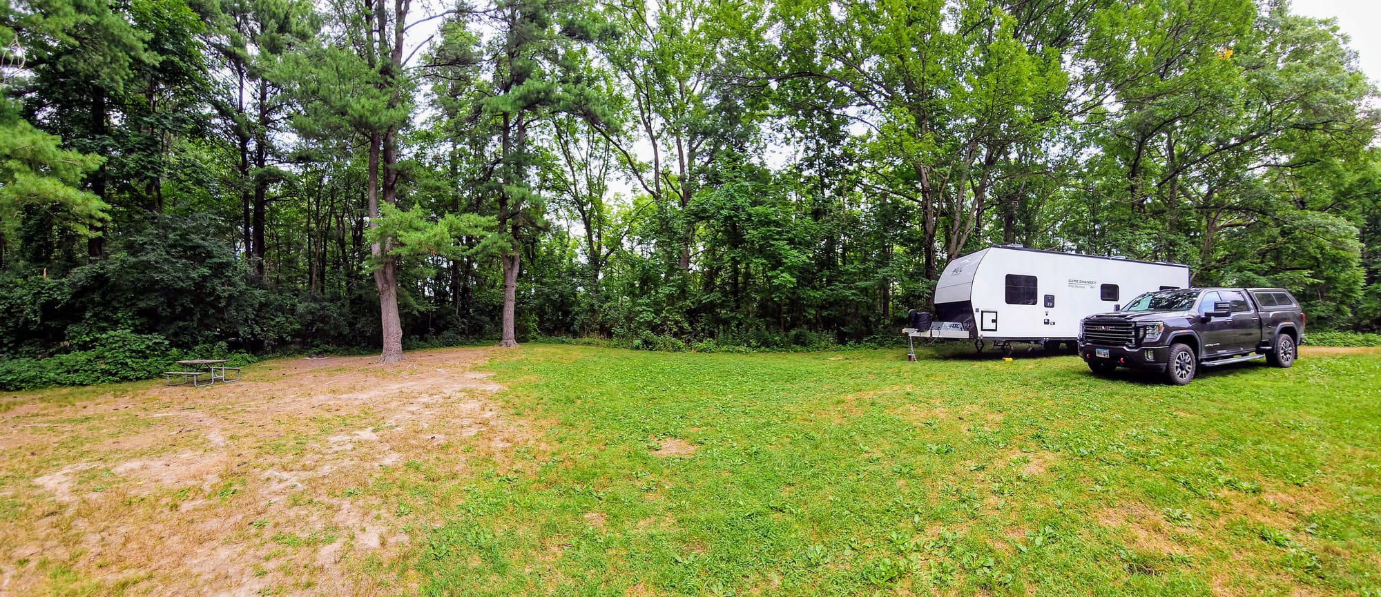
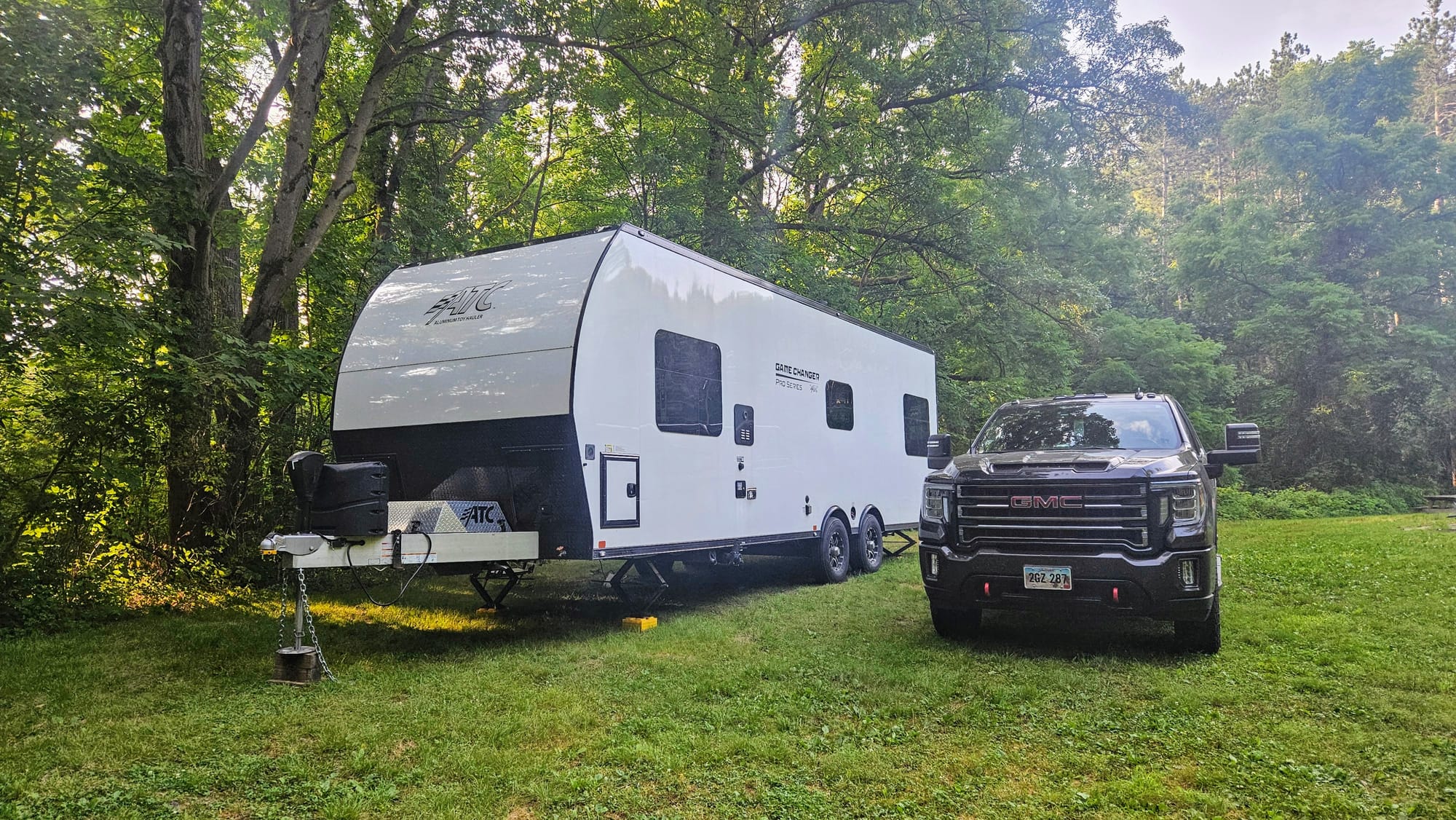
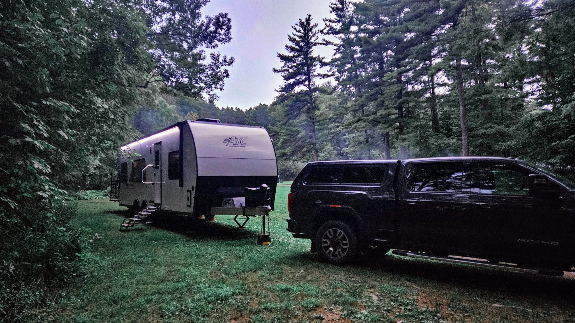
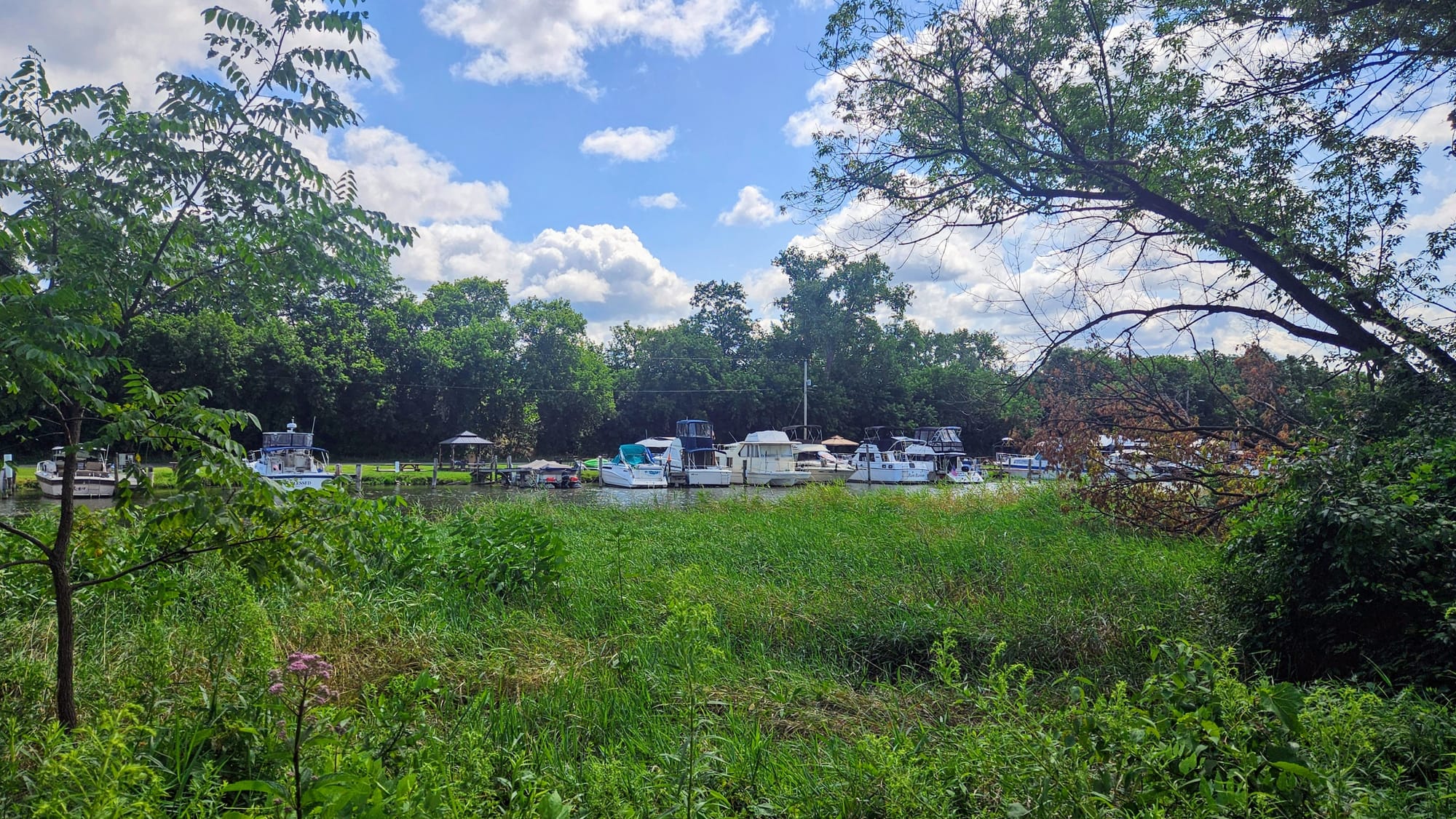
Thankfully, 2024 has been lightning-strike-free, and we were ready for our second attempt at a stay in Watkins Glen. This time, we didn't need to worry about getting an electric site, which was good because none were available for our dates. We could have turned on availability notifications again, but instead we decided to book one of the sites without hookups. We made a great choice, getting a huge site with just enough shade to stay cool and just enough openness to get Starlink connectivity...with some interruptions.
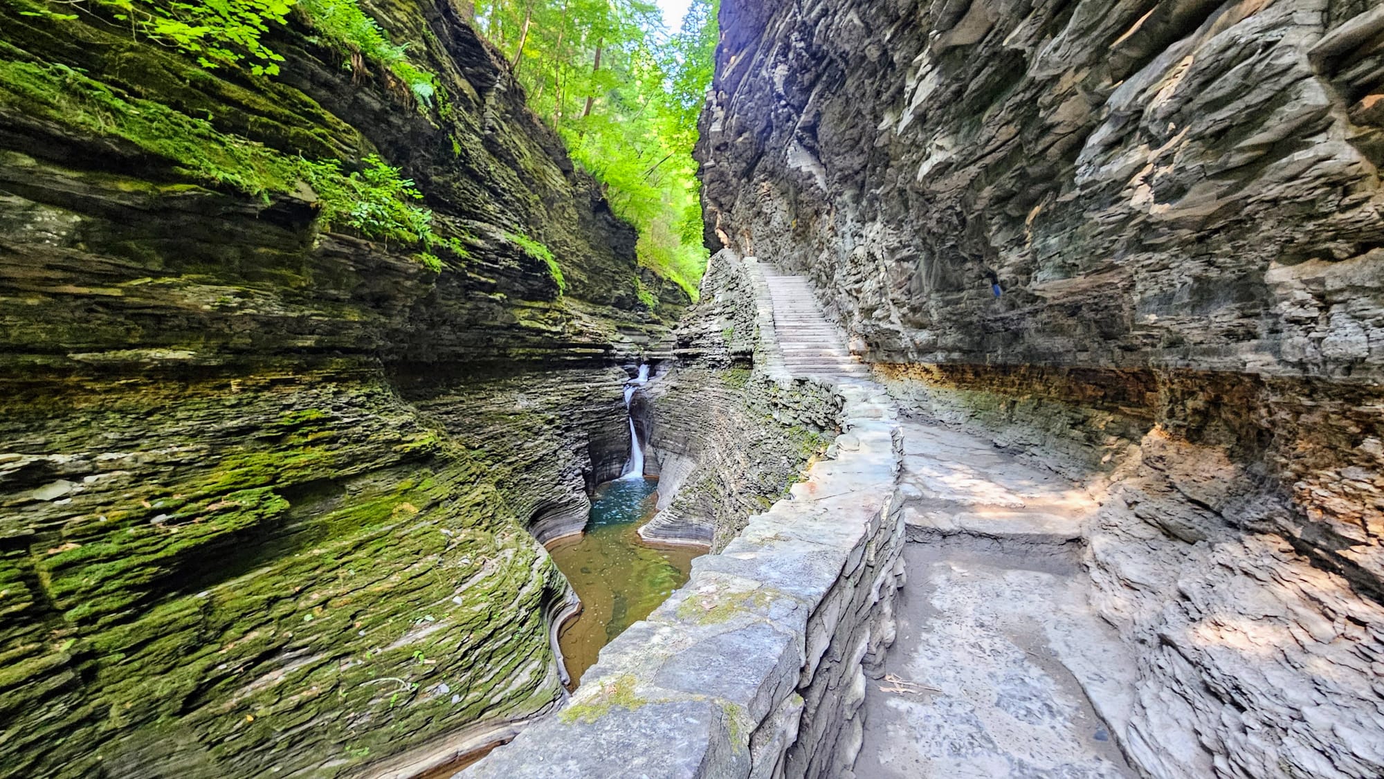
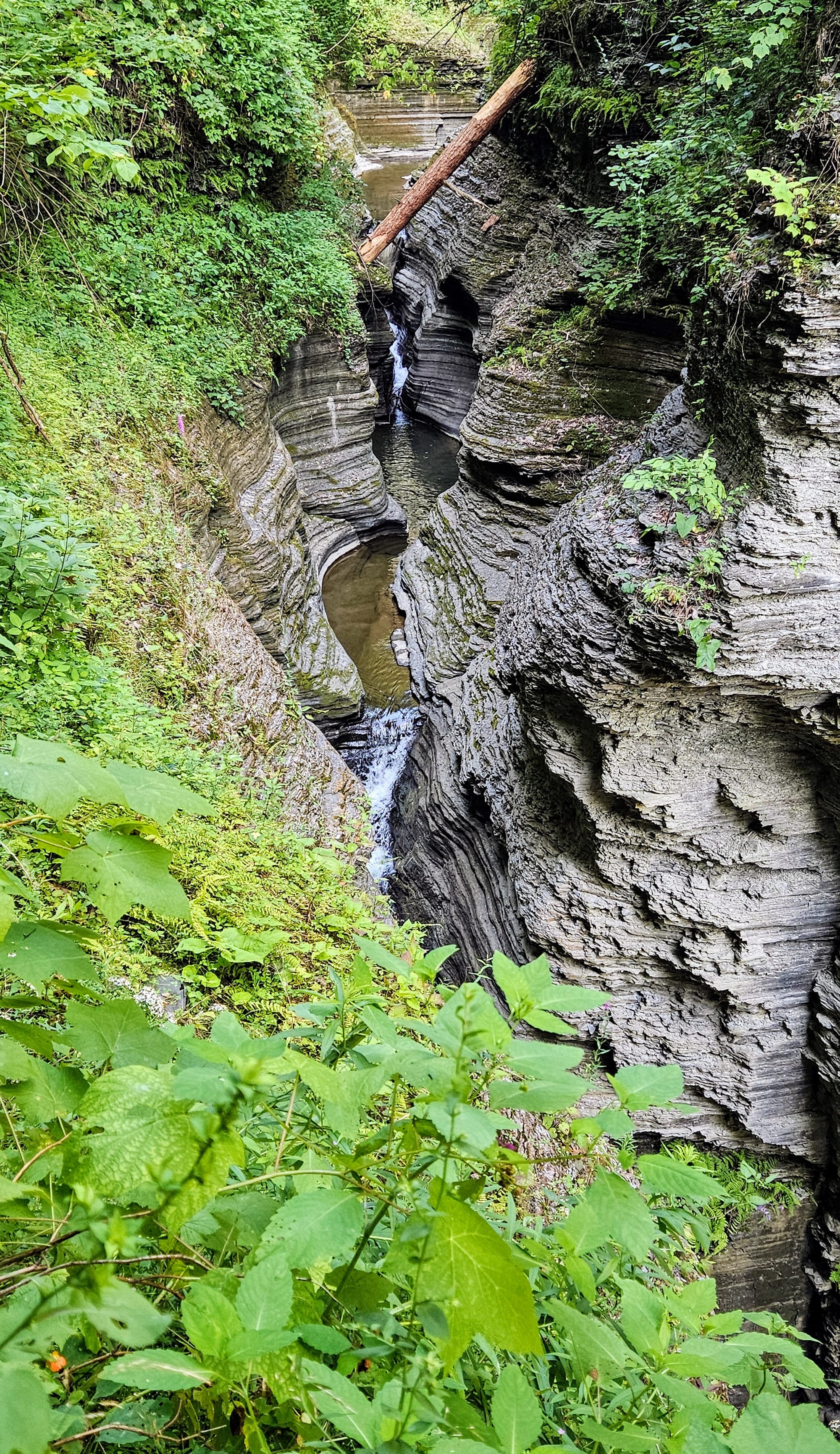
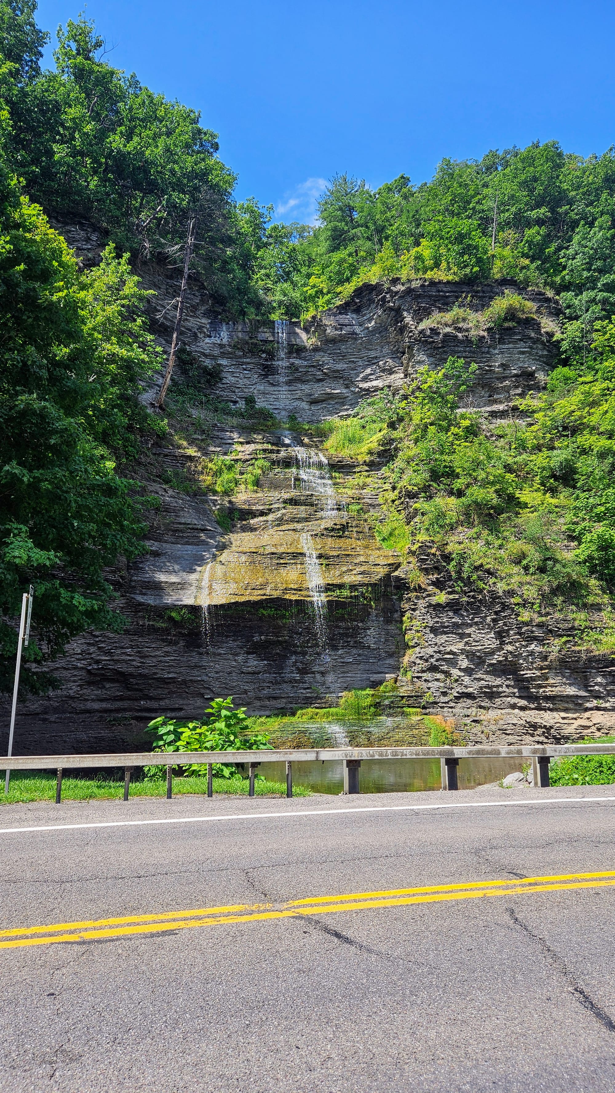
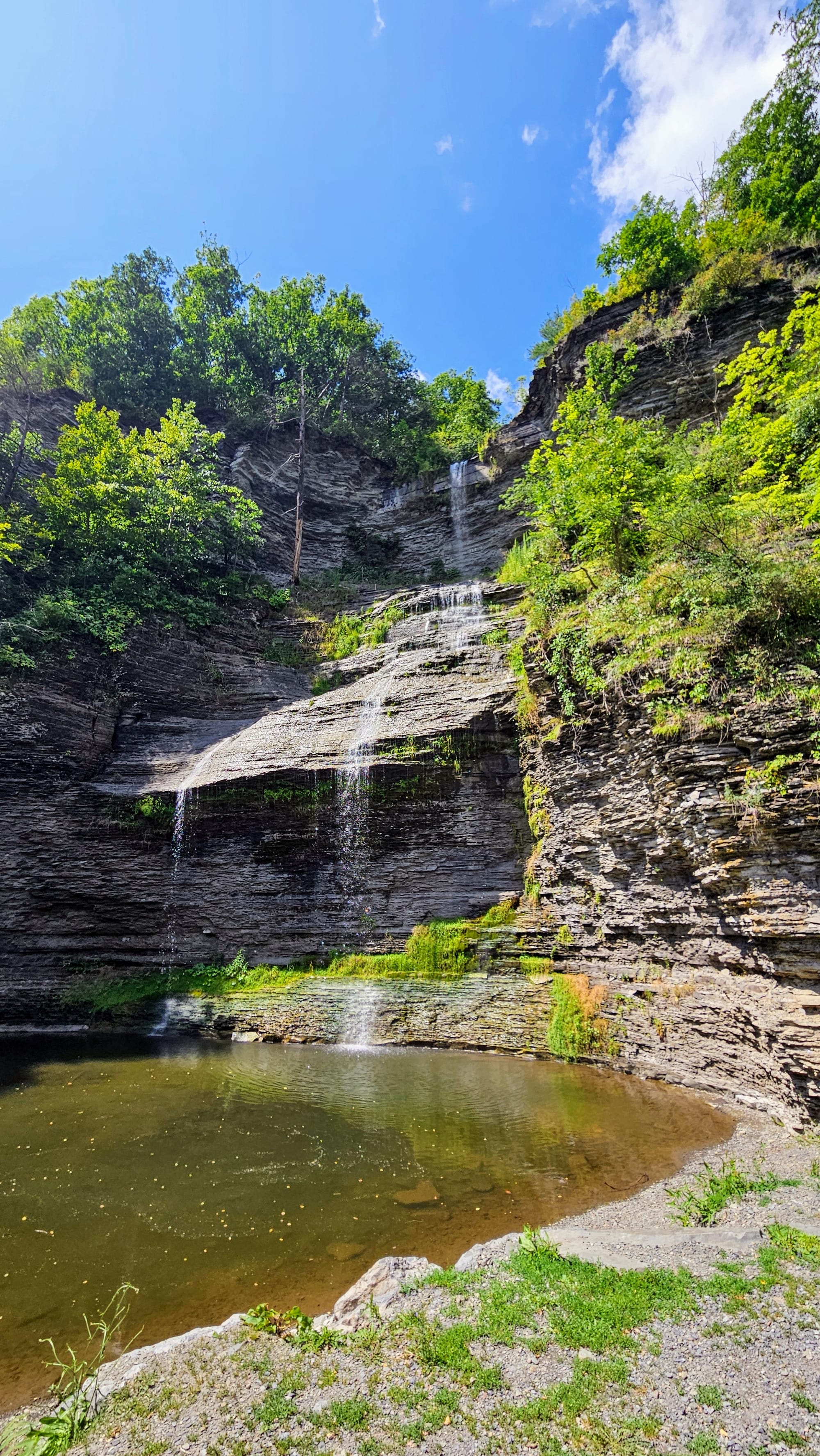
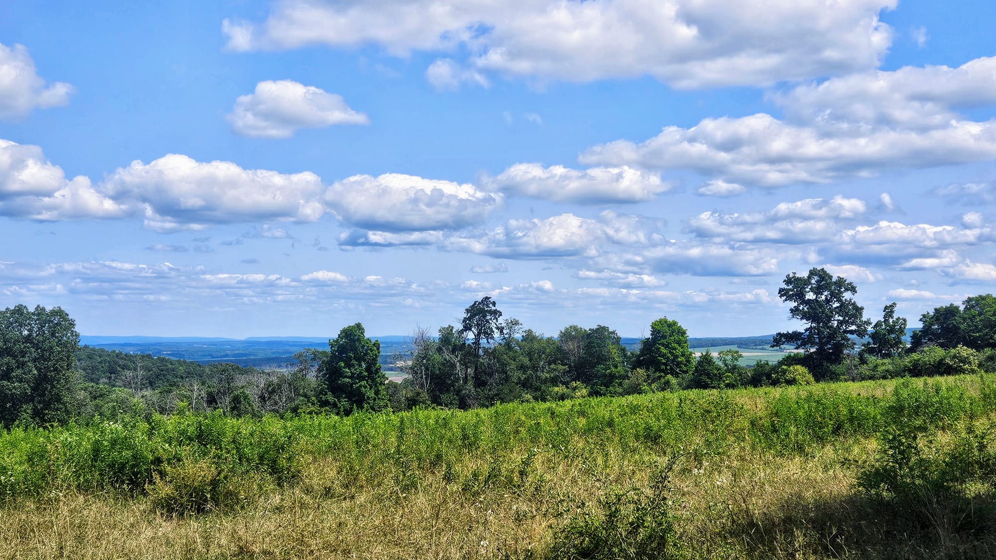
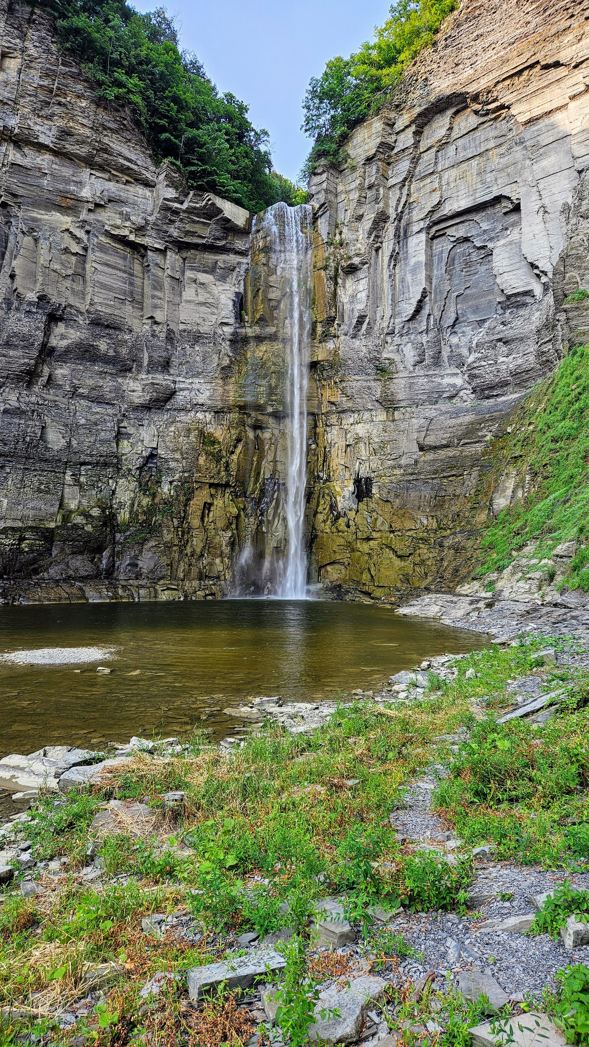
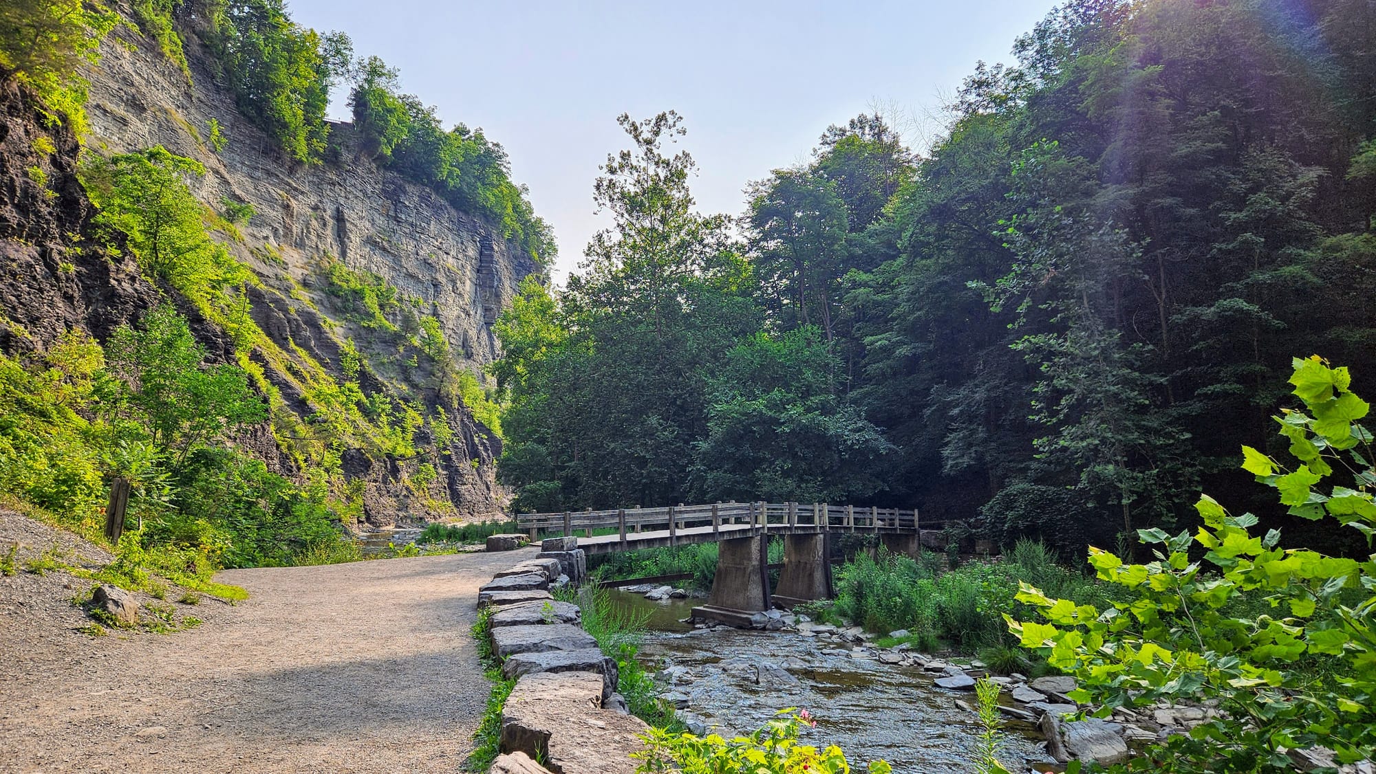
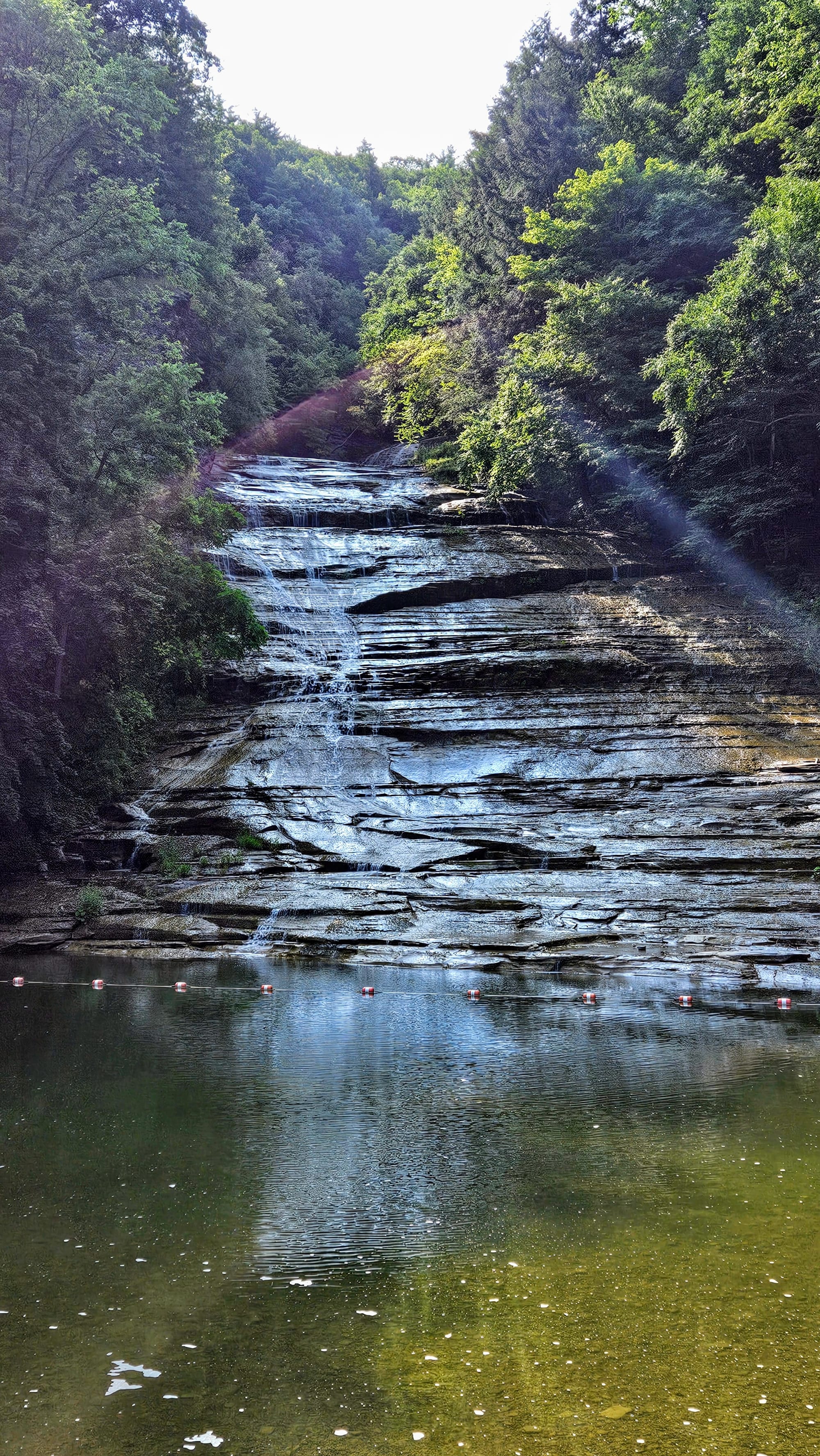
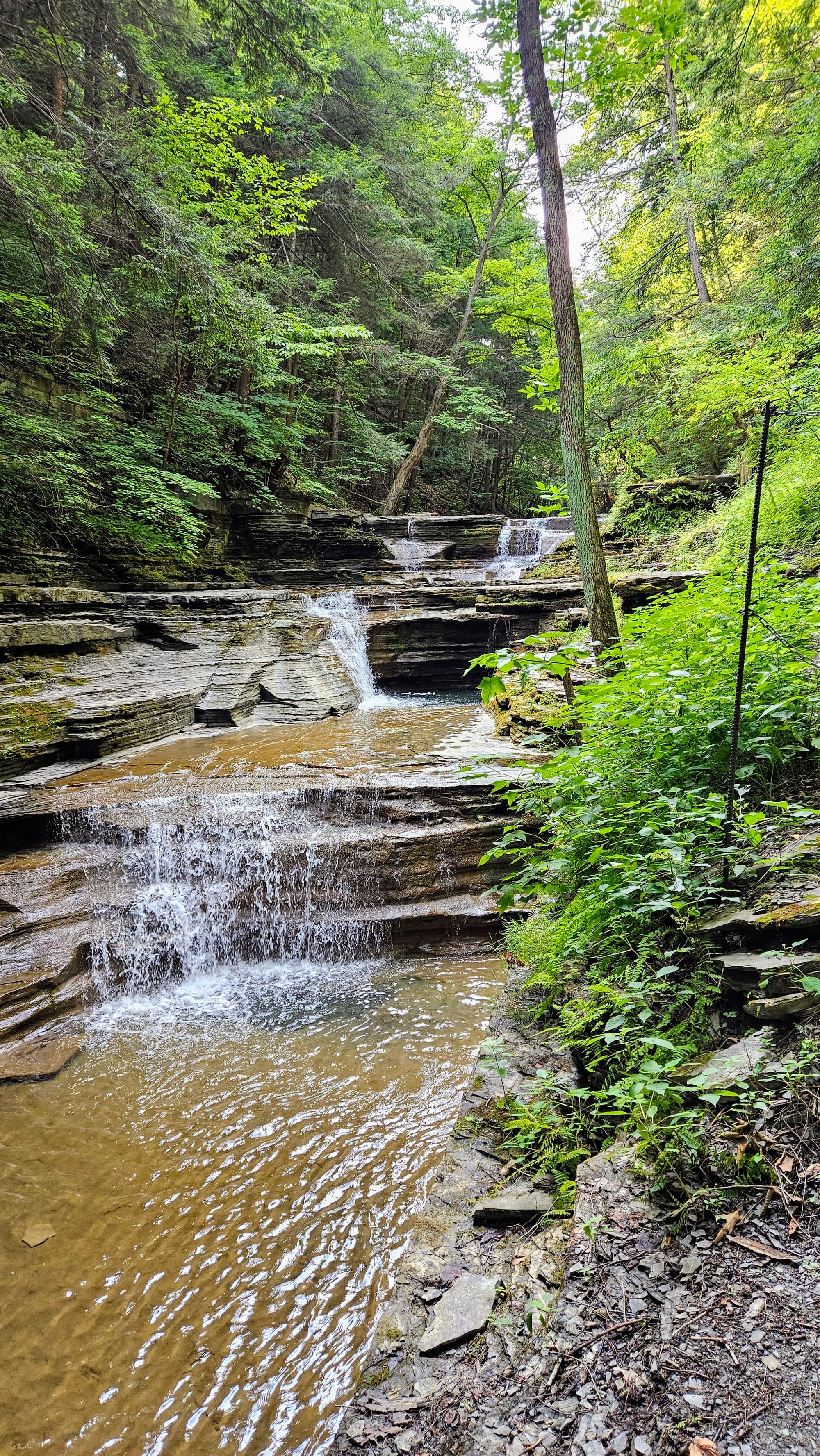
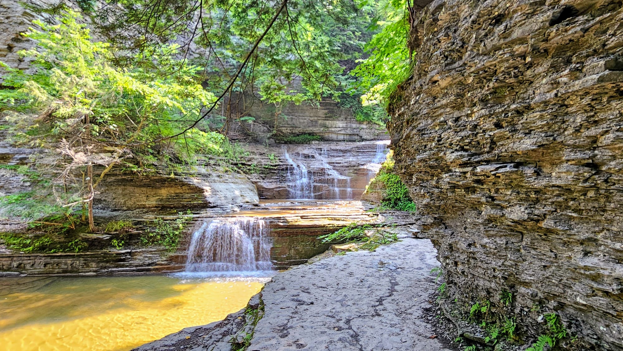
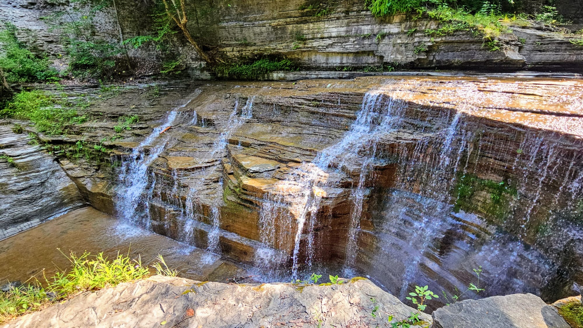
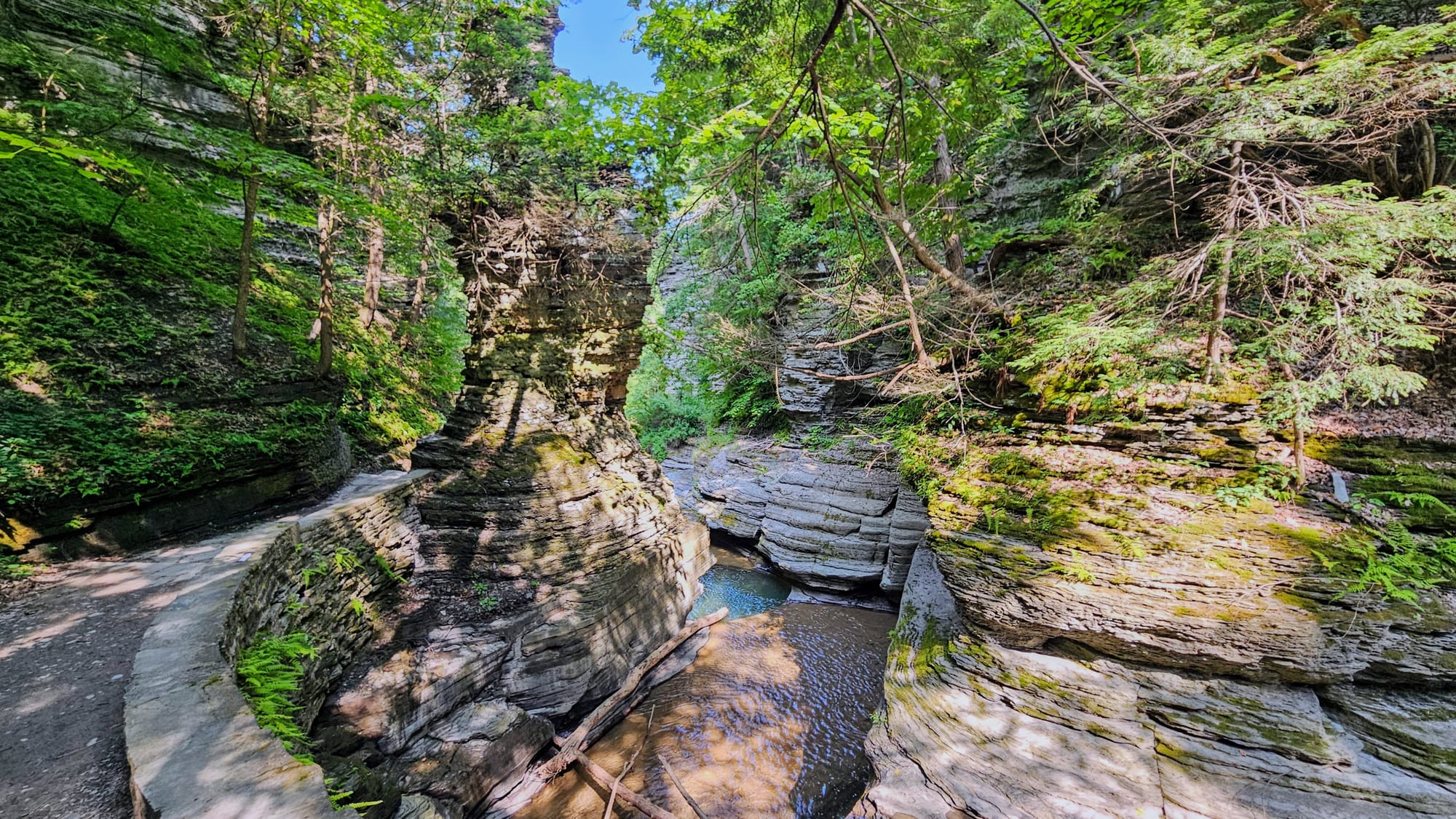
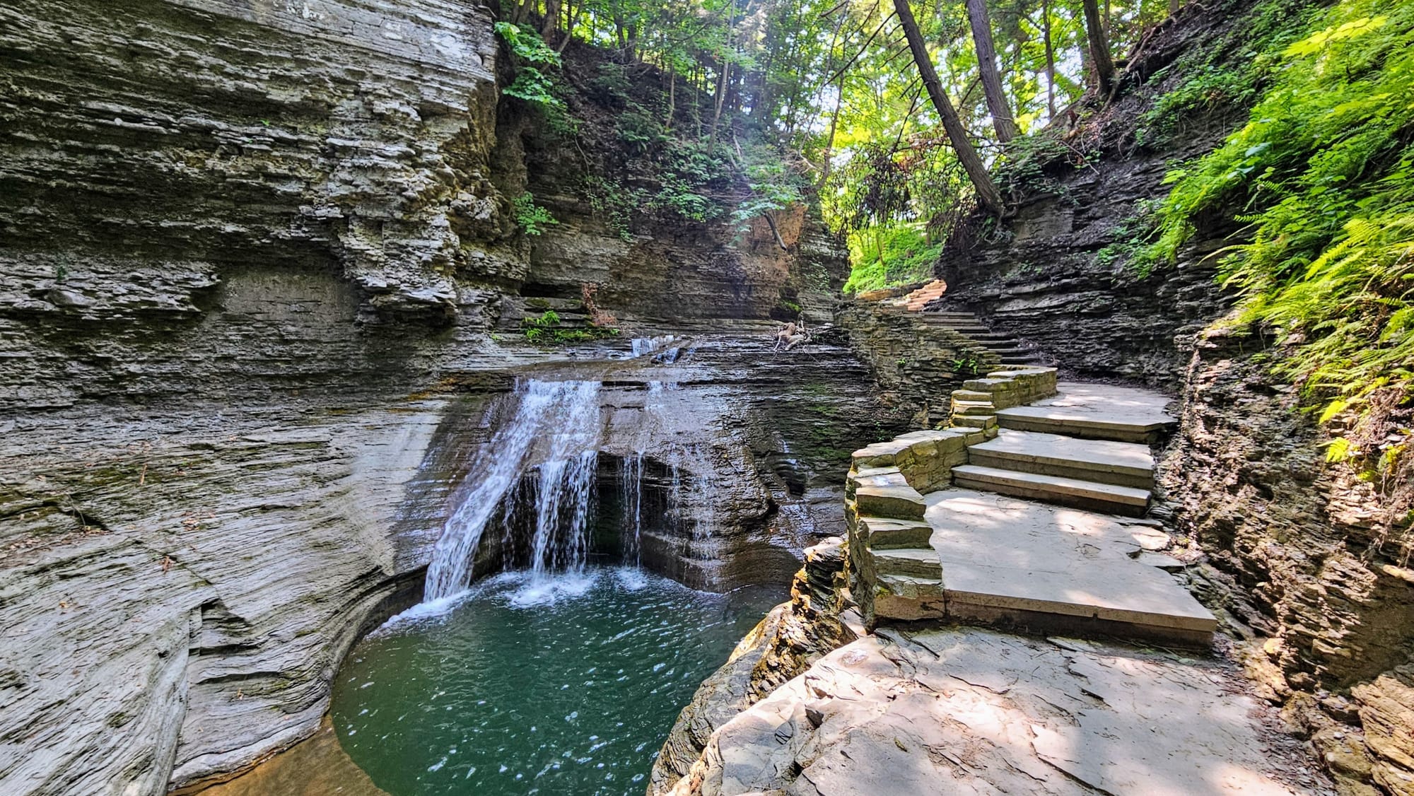
So why the intensive efforts to get a campsite at Watkins Glen? This state park is home to one of the most beautiful hikes in all of New York – some people even say it's one of the most beautiful hikes they've ever taken! The Glen Creek has carved surrounding sandstone layers over many years, creating an intricate, winding gorge, complete with a variety of waterfalls. The Glen Creek Gorge Trail takes hikers on various levels of the gorge, from right alongside it, to hundreds of feet above it. We can get up close and personal with some of the waterfalls, even getting to walk behind some of them. Beyond the Gorge Trail, Watkins Glen is located in New York's Finger Lakes Region, which is a hub of outdoor recreation, dotted with adorable towns.
Clearly, it's not easy to get a camping reservation here, especially if you're vying for one of the electric sites. However, based on the vast number of cancellations in 2022, sites do open up often, so if you want to camp here, be patient and optimistic, and watch the availability notifications like a hawk.
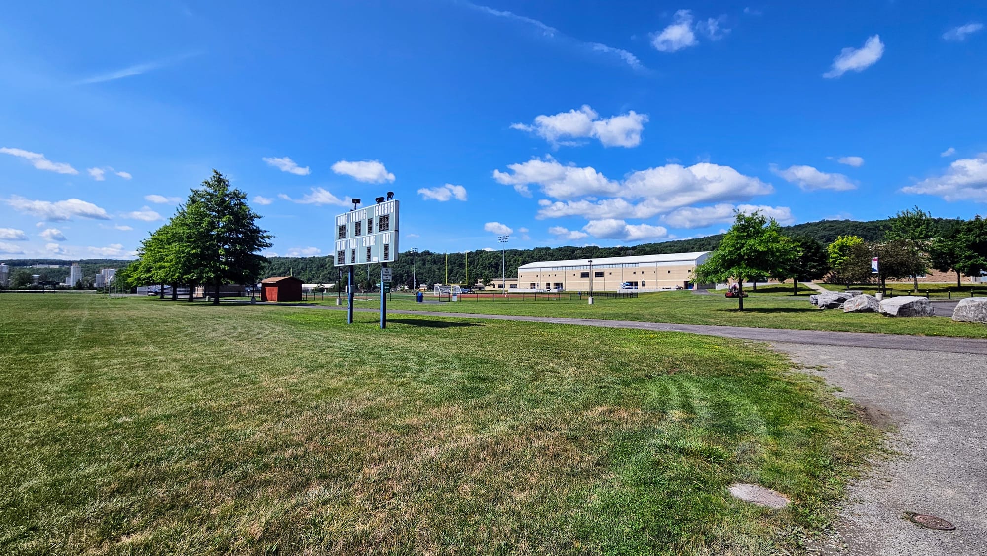
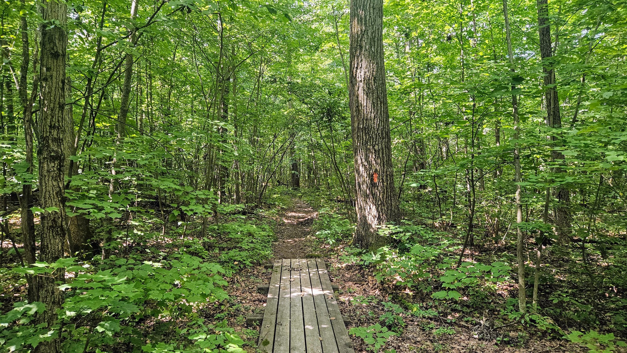
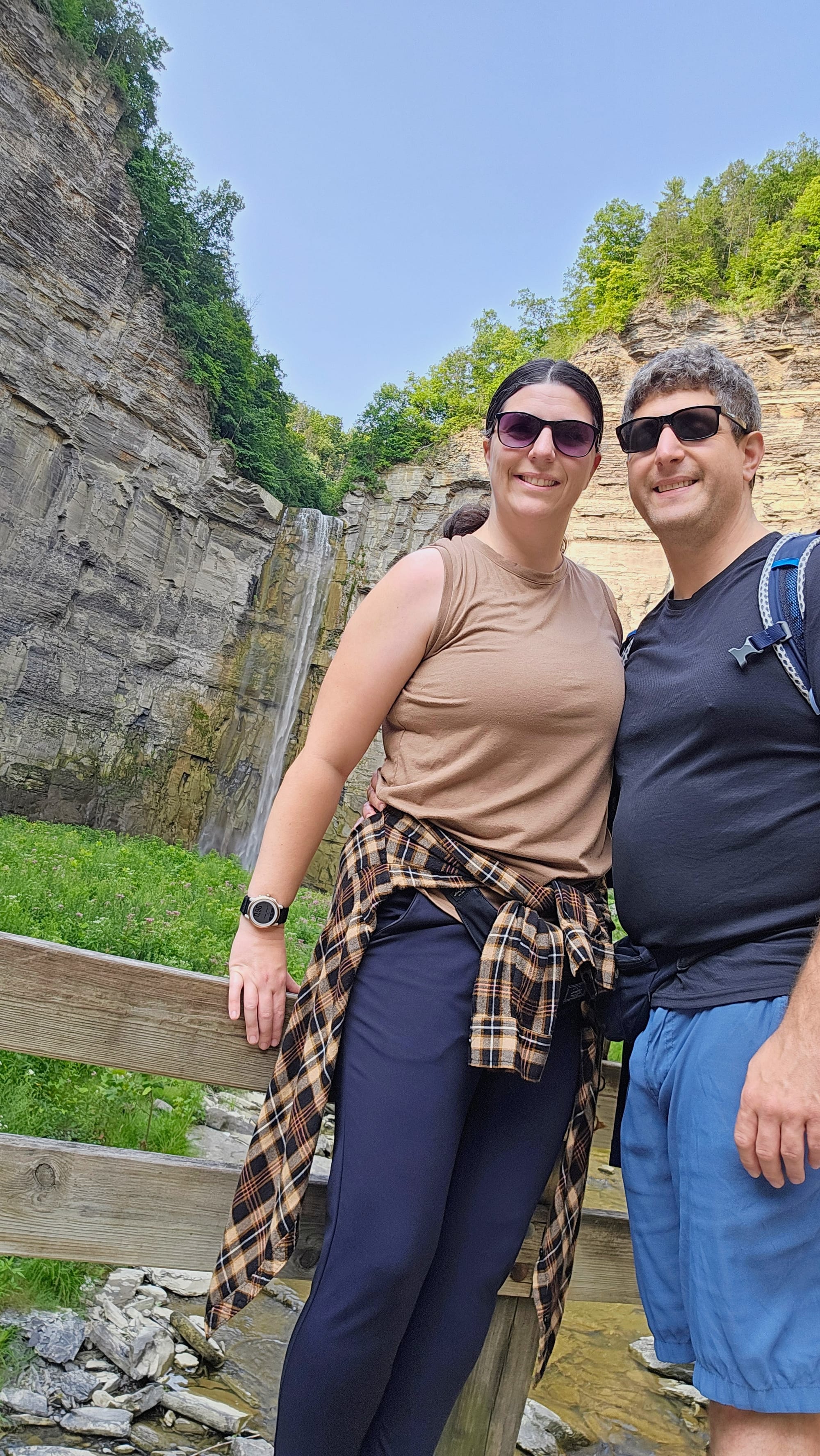
Watkins Glen was our home for one week, and on the agenda was as much hiking as possible. We were still playing catchup on our goal to hike 100 miles during the summer. Comparing our progress to last year, we were behind, and last year was certainly no picnic either. During our week in Watkins Glen, we'd continue to battle thunderstorms, just as we'd been doing for months, but we had trails right at our doorstep, literally. One trail left from the back of our campsite, and the main trails were accessible from one of the other campground loops. We planned to squeeze in as many hikes as possible between storms.
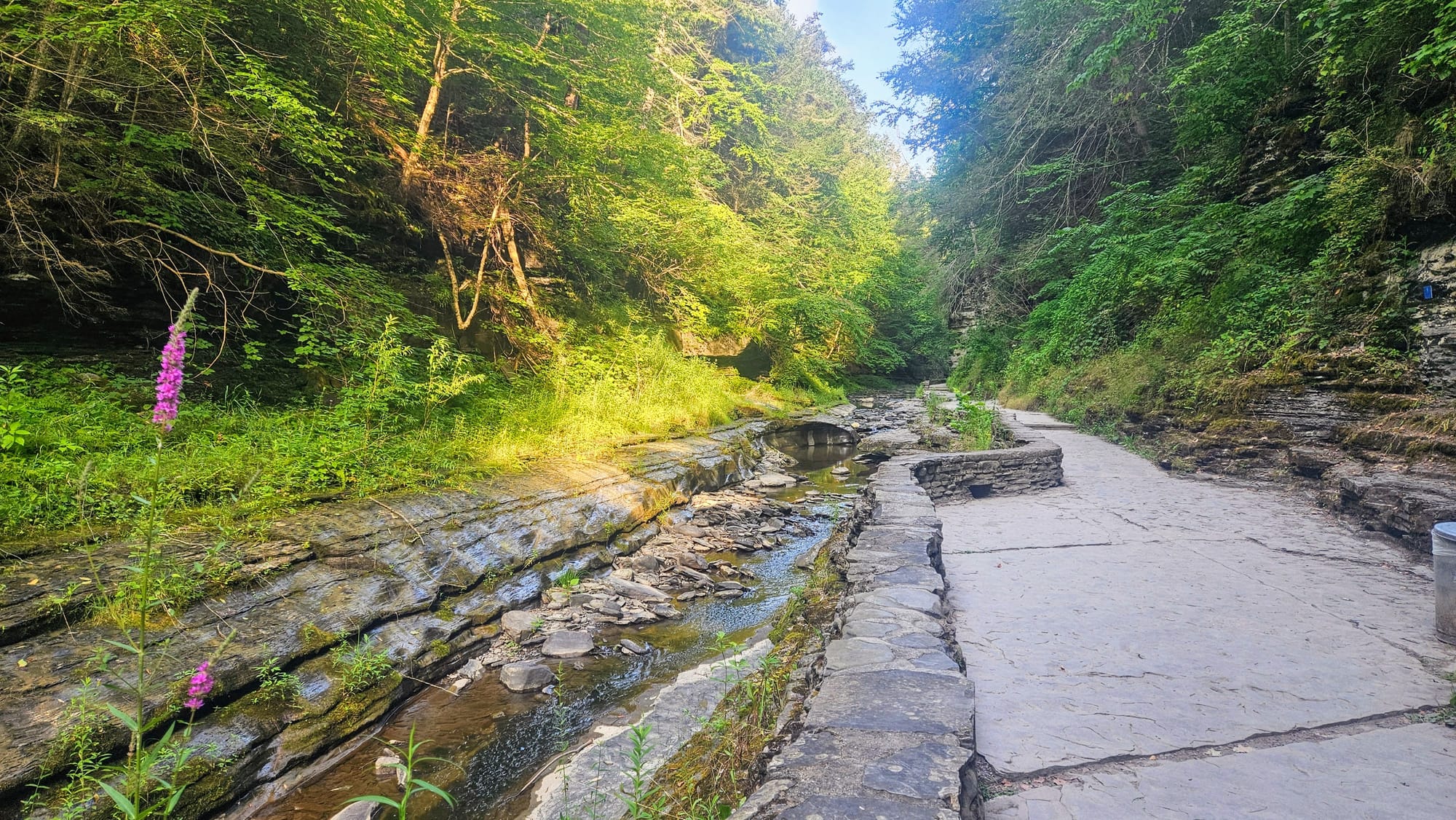
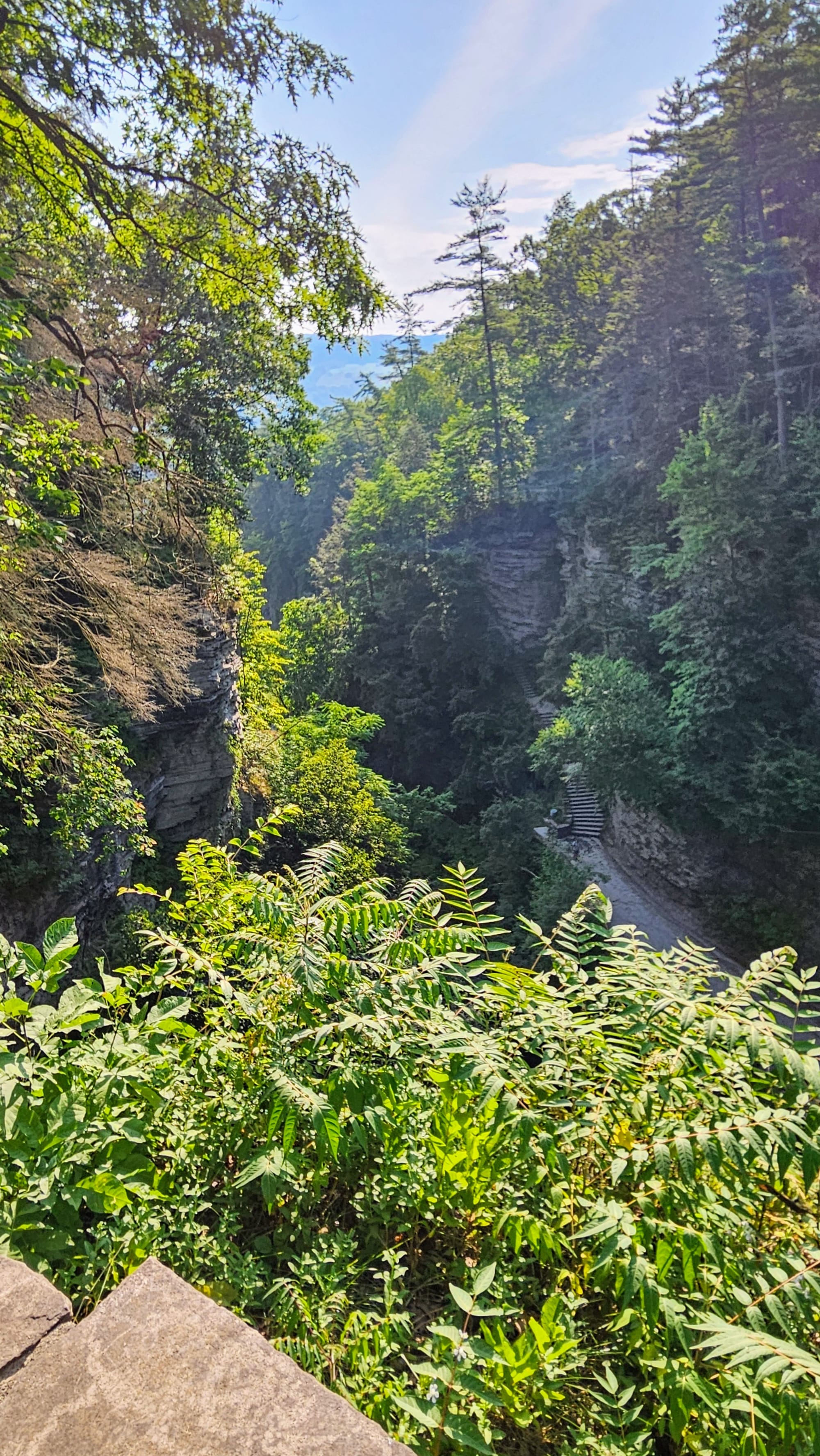
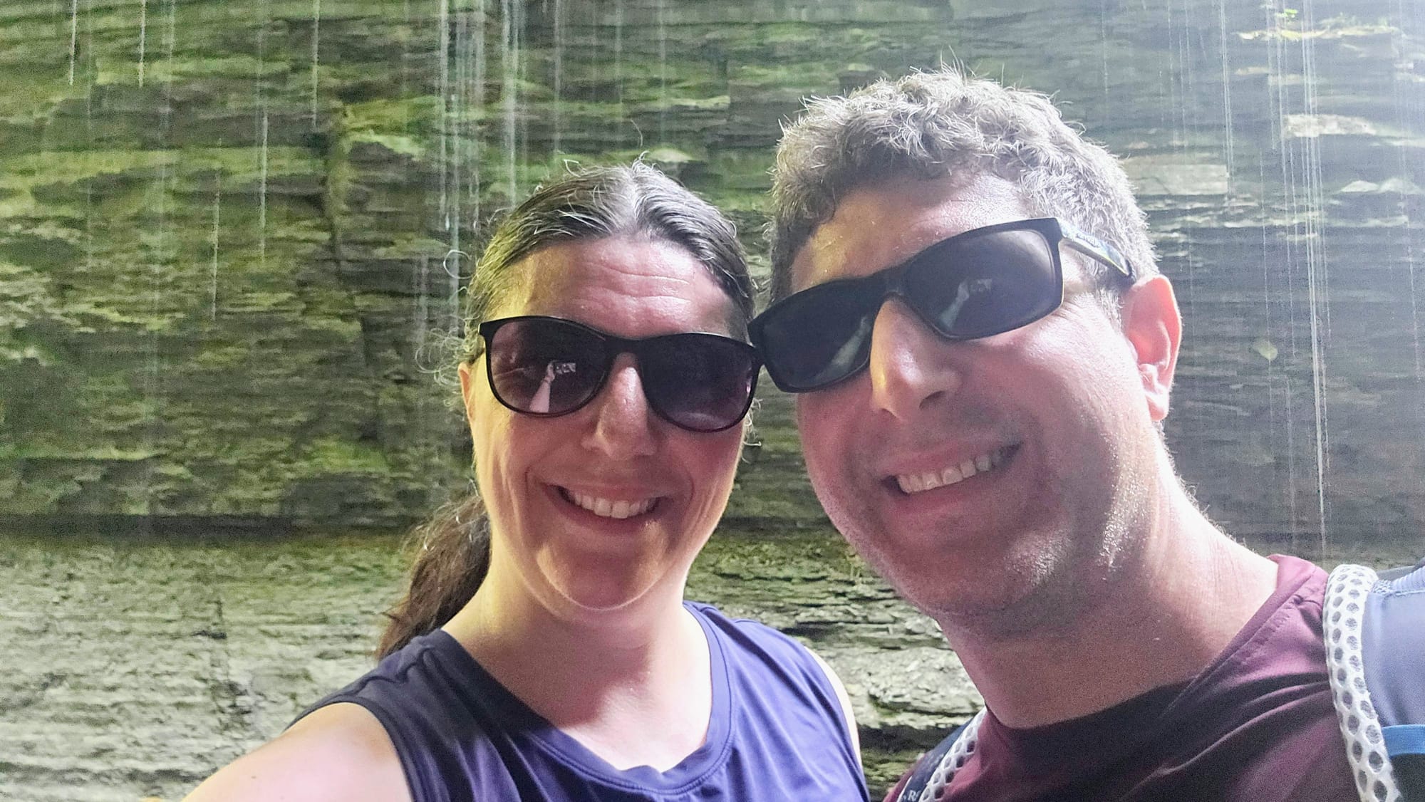
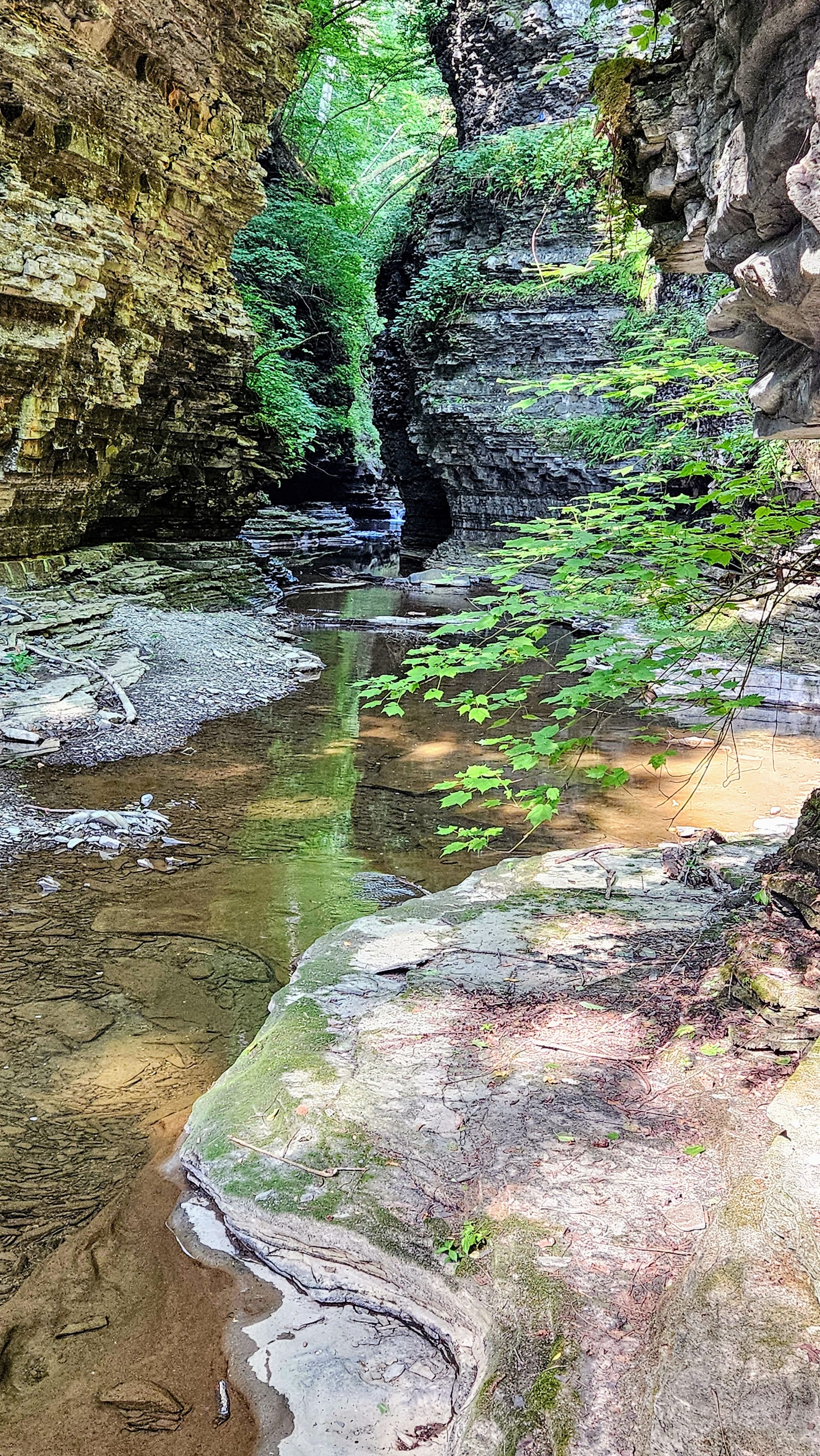
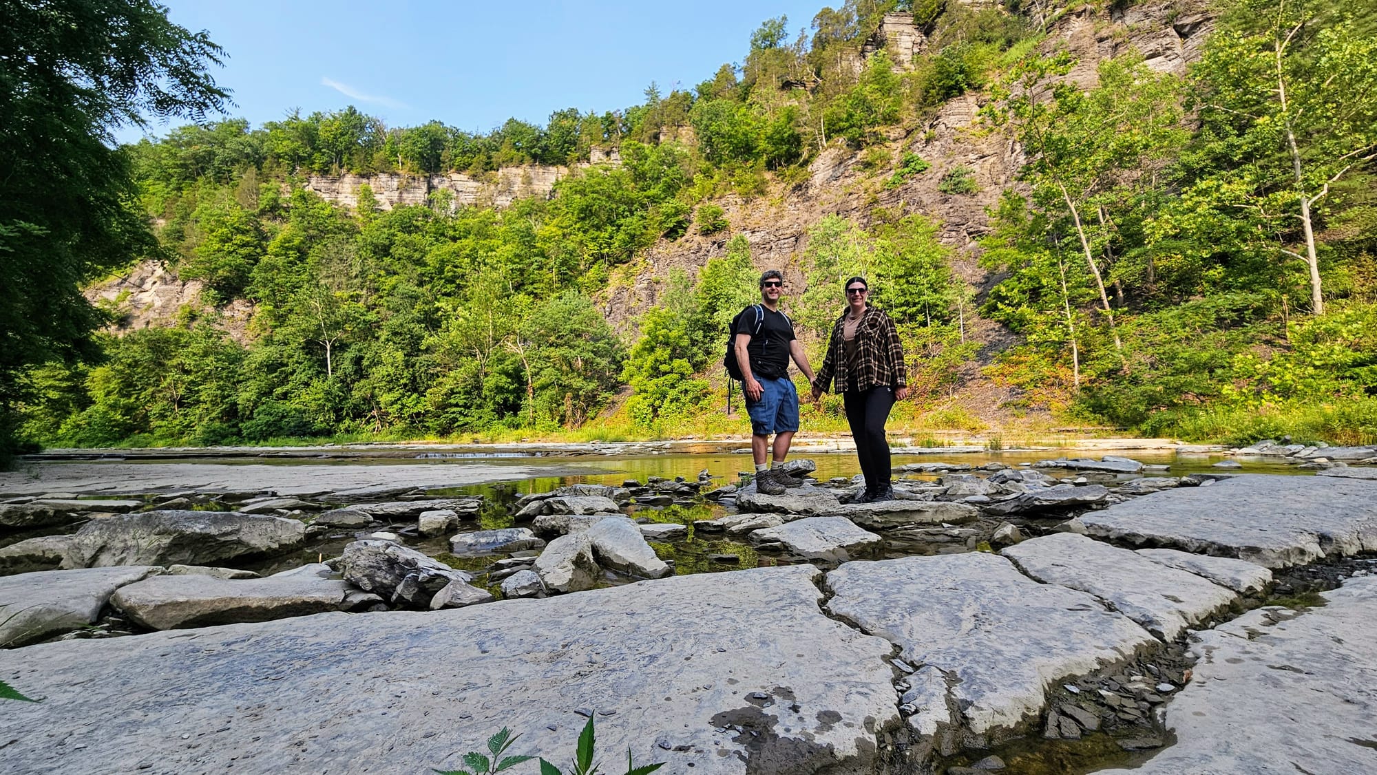
First up was the famed Gorge Trail, only we decided to create a loop with the Indian Trail, which runs on an upper level on the north side of the creek. When it comes to the Watkins Glen Gorge Trail, the early bird gets the worm. It can get very crowded during peak times, so we purposely went early on a Monday morning. We left our campsite around 7:40AM and started the Gorge Trail a little before 8AM. When we first got down to the gorge, we saw only a handful of people.
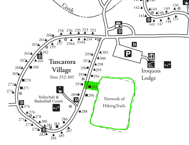
We did make a little boo boo, though. We based our hike off of this one on All Trails, only instead of starting at the main entrance on the far end of the park, we began in the middle, at the access trail from the campground (circled in red).
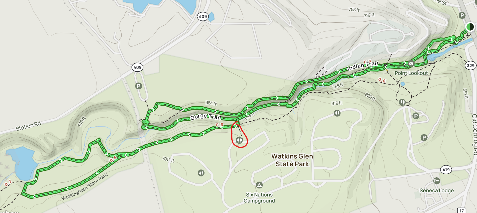
Because of this, we would only see half of the gorge before climbing up to the Indian Trail, and by the time we got back down to the other side, more people had already arrived. We were so set on getting extra miles that we chose this longer hike, but in retrospect, we wish we had only done the gorge trail so we could see the main features with less people around.
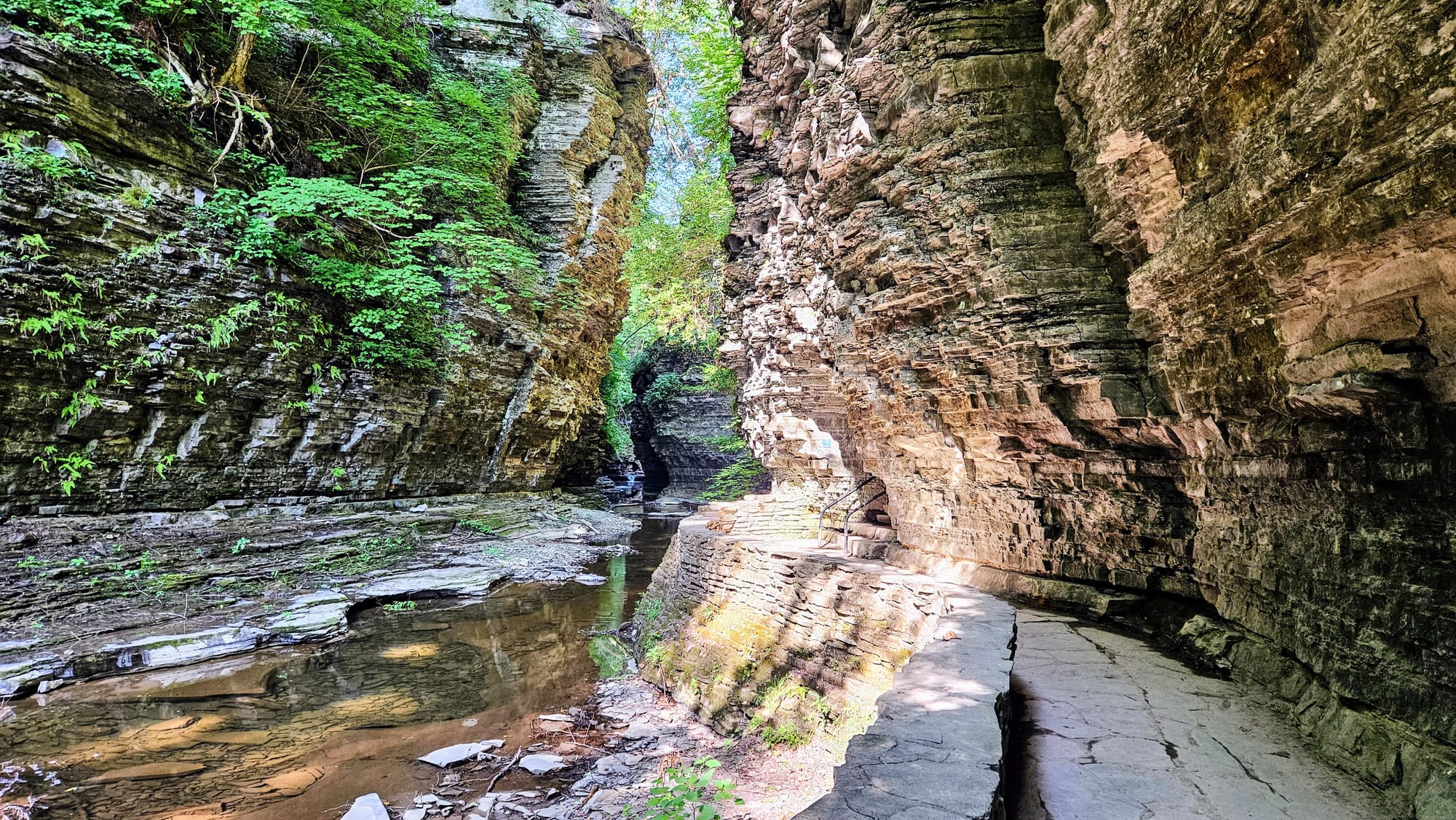
First leg of the Gorge Trail
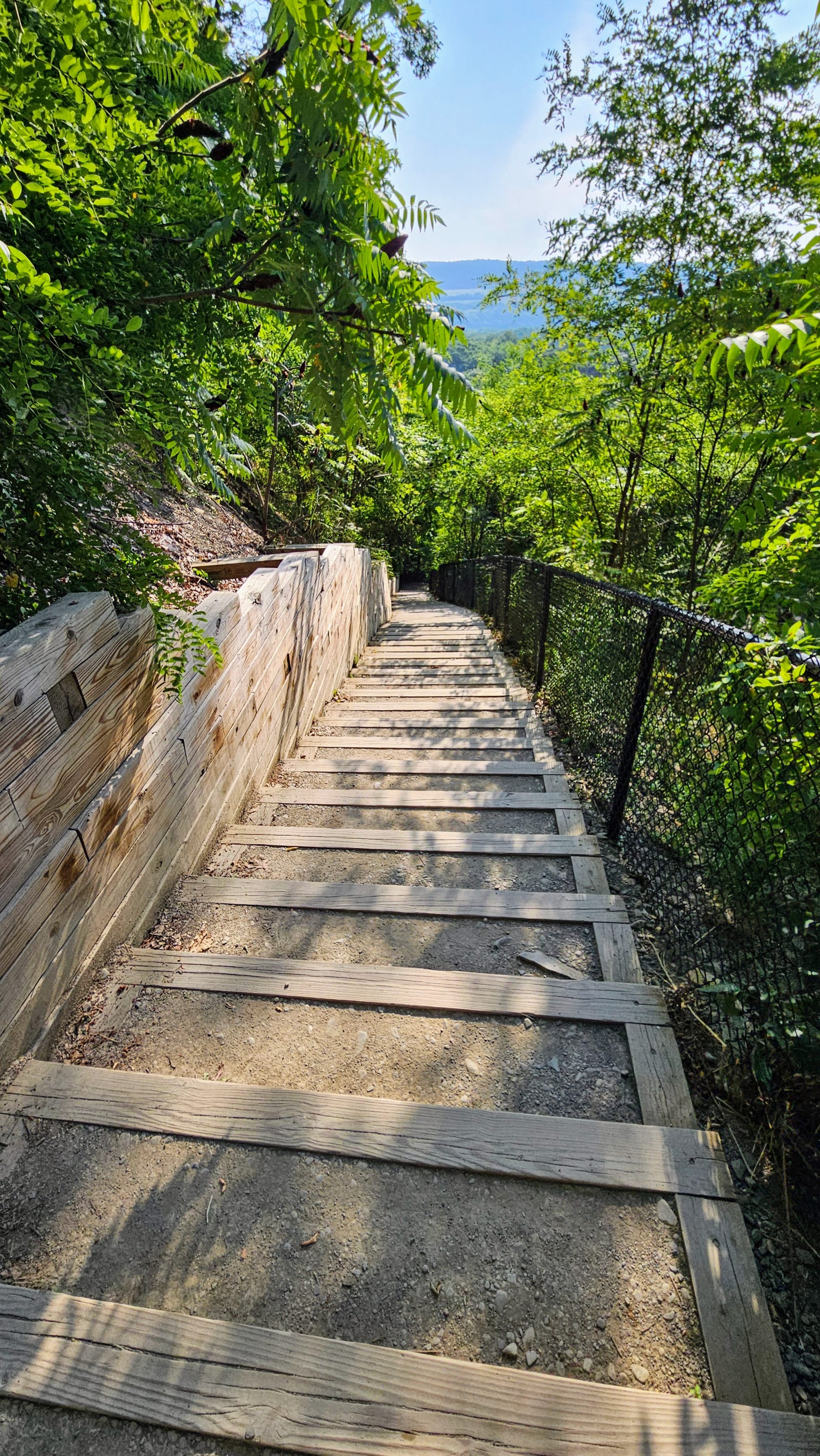
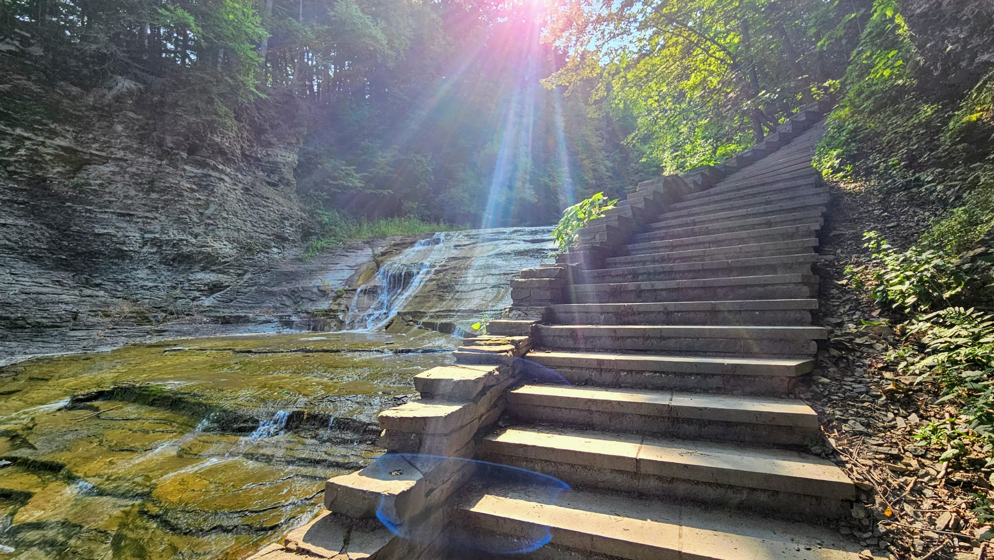
Views from the Indian Trail, including stairs that we were very happy to be going down and not up
Still, we only shared the trail with a couple dozen other people, and that allowed us to go at our own pace and get some unobstructed photos. Really, though, everyone was nice about clearing the way for people to take pictures, and we all ended up enjoying the shared experience together.
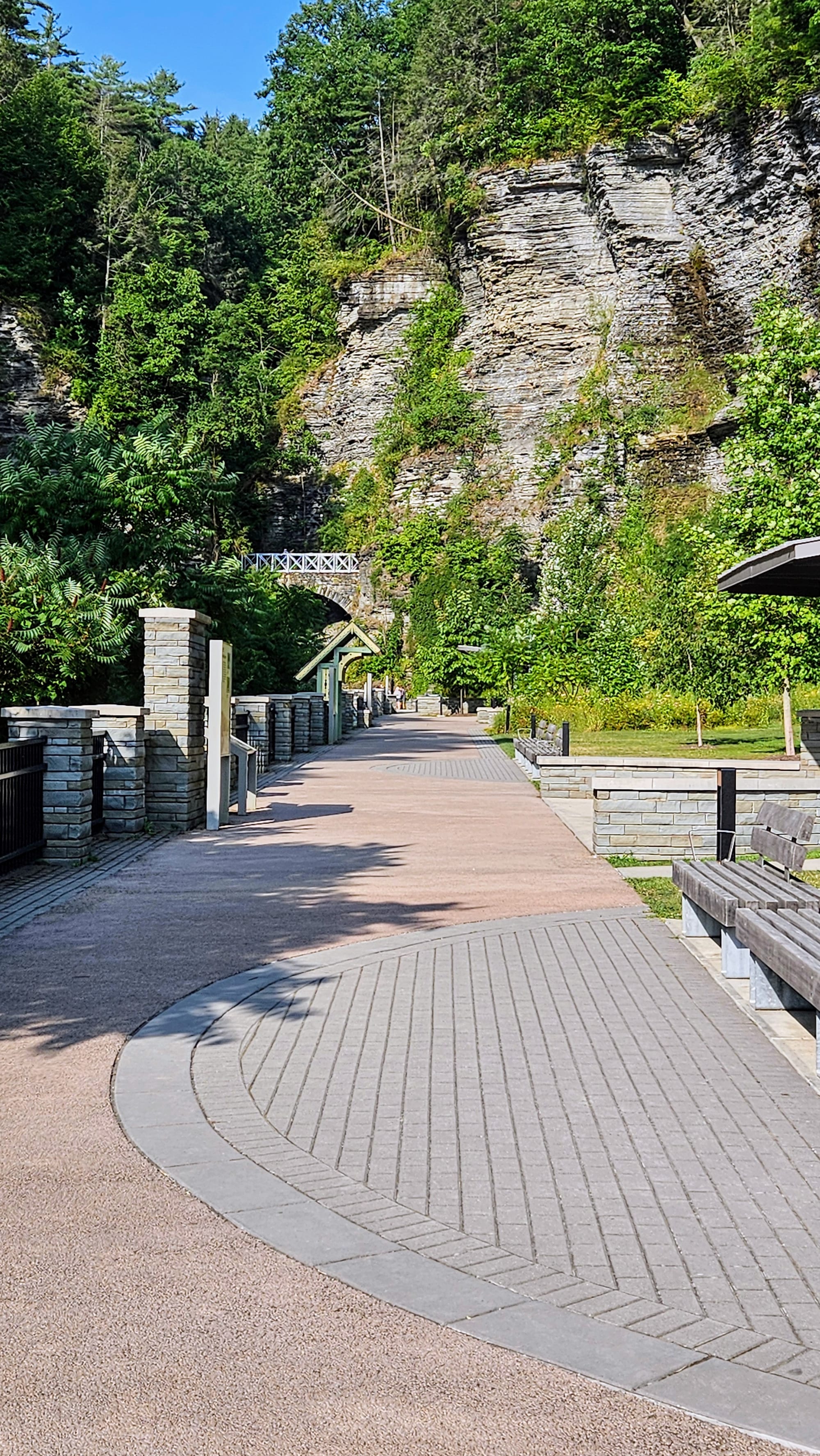
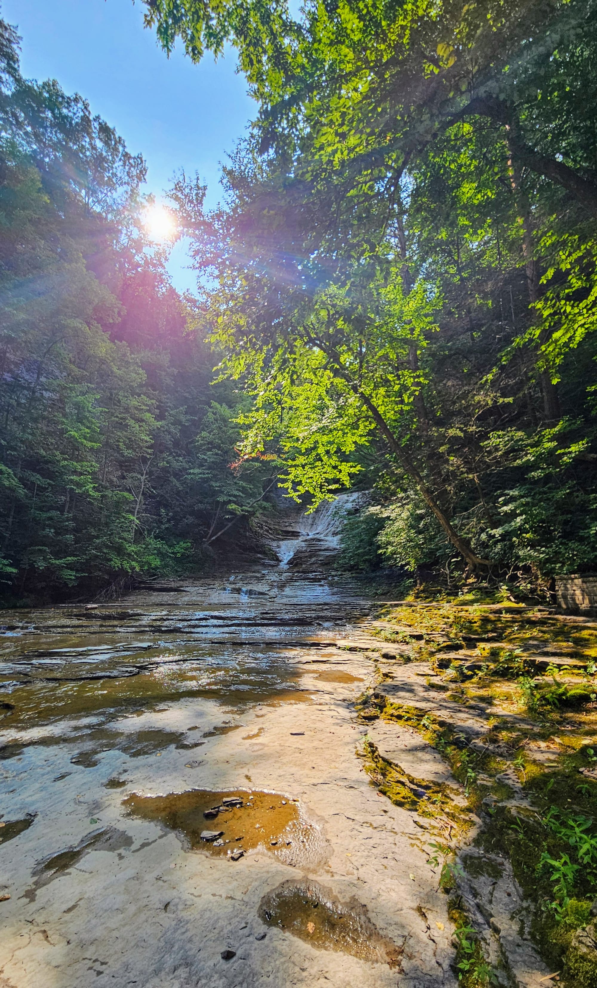
An almost-empty walkway at the entrance to the trail
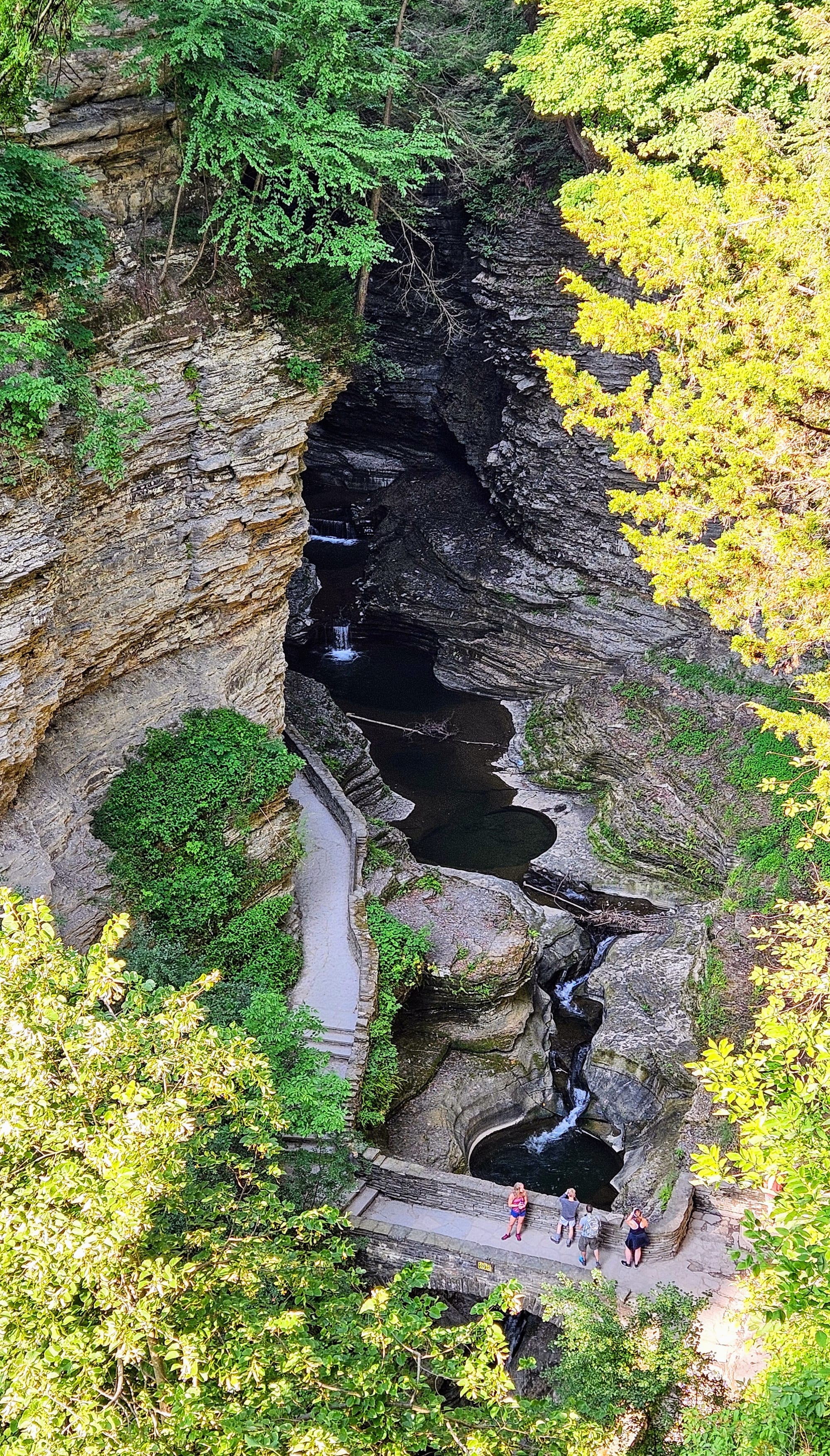
From a photography standpoint, doing the gorge trail early would have been better, too, because once the sun rose above the cliffs, it made for lots of weird shadows and reflections. The creek twists and turns in so many spots that the sun bounces off the water and the gorge walls, making it hard to focus the lens. Photos are nice, but nothing topped seeing the gorge with our own eyes.
The Gorge Trail alone is about 2 miles and does have some stairs. Depending on where you park, it has a lot of stairs. The paths can also get slippery from the water, so it's important to wear good sneakers or hiking boots with good traction. In typical BOW fashion, we did just fine along the gorge, but I tweaked my ankle on the access trail from the campground before we even started the hike, and Anthony got stung by a bee on the Indian Trail. Still, we pressed on, and we're glad we did. The second half of our Gorge Trail hike was the best section.
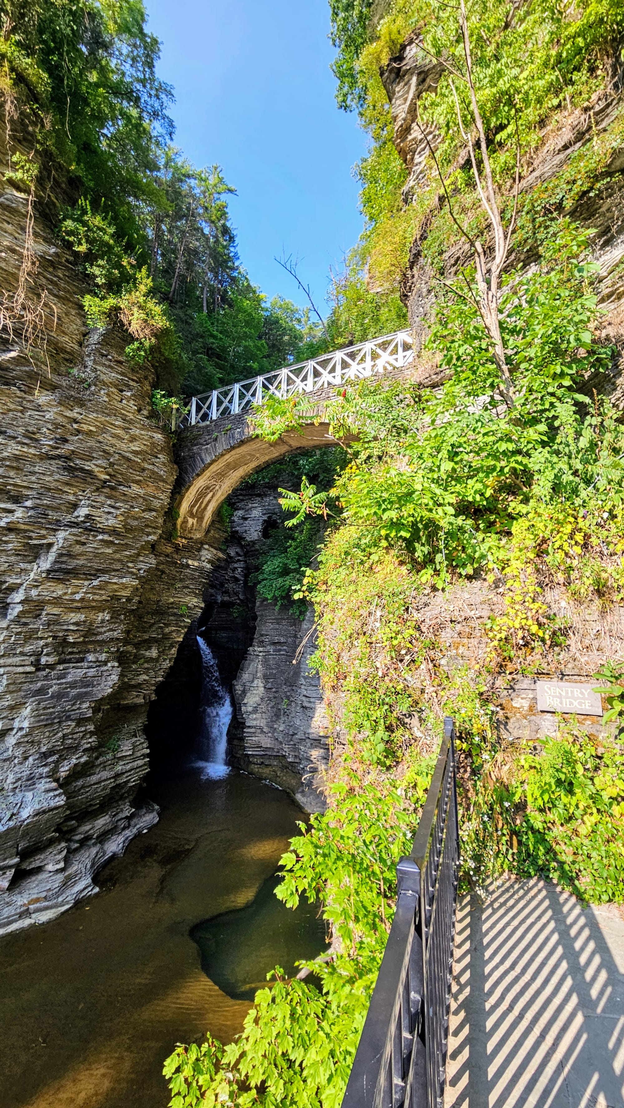
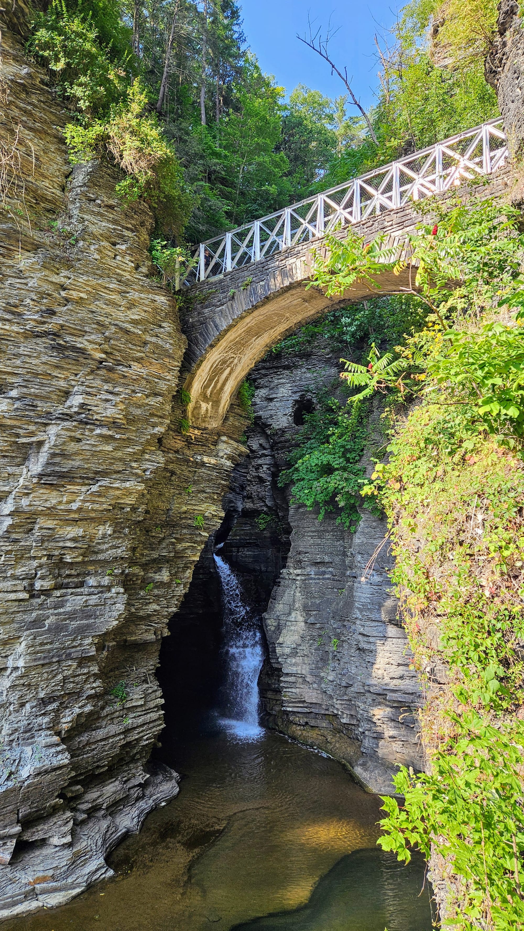
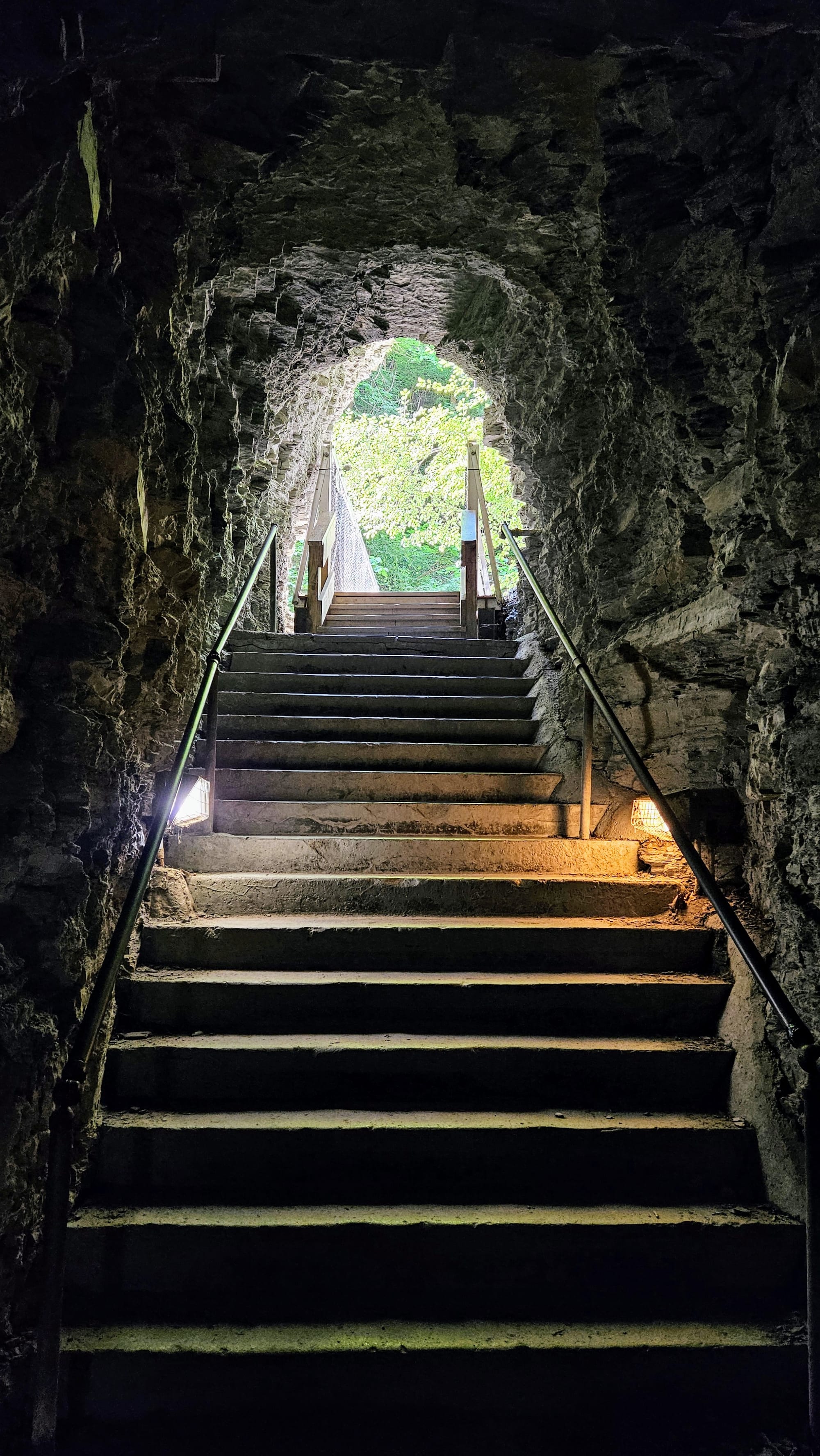
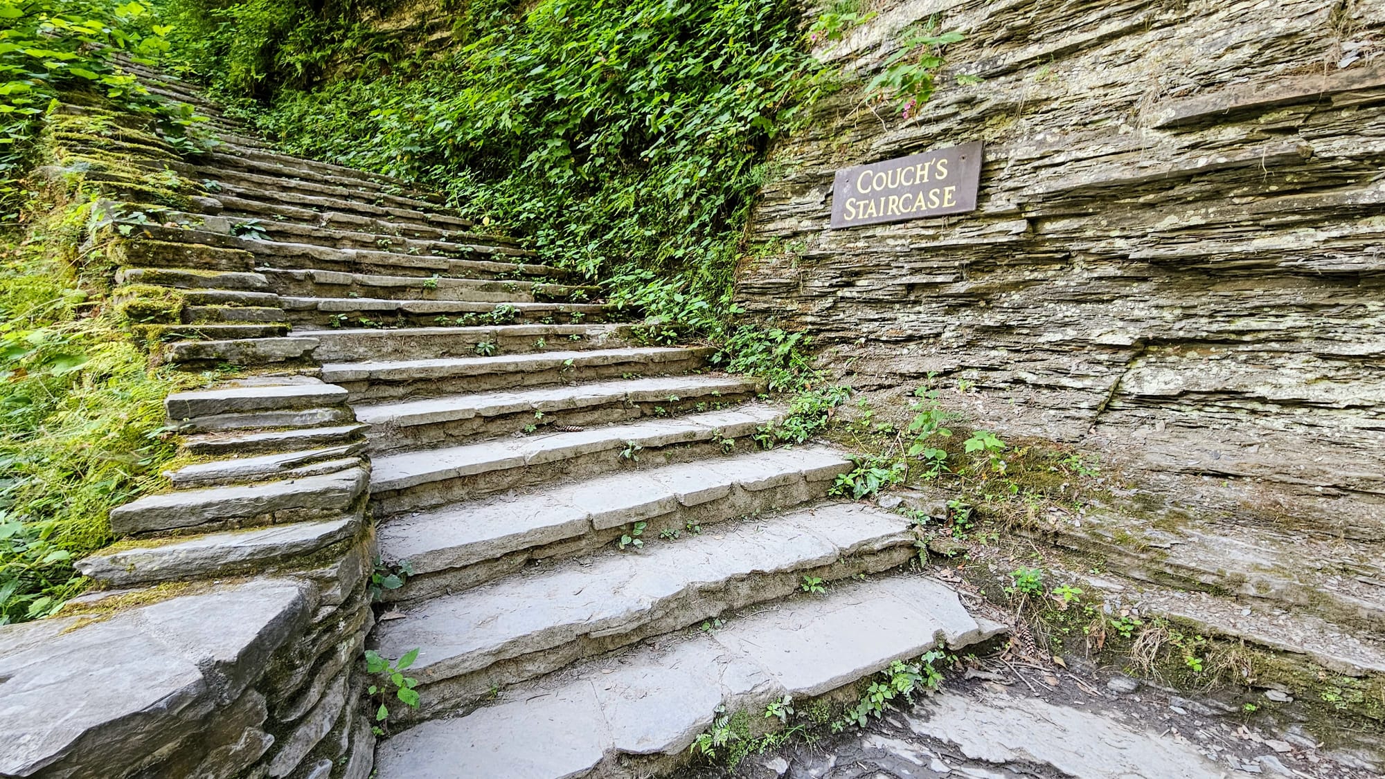
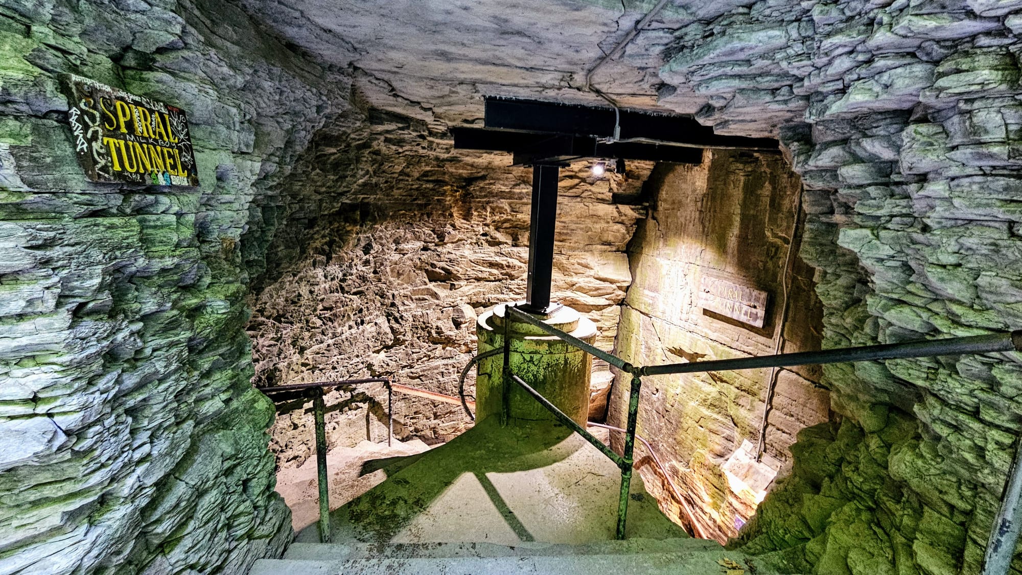
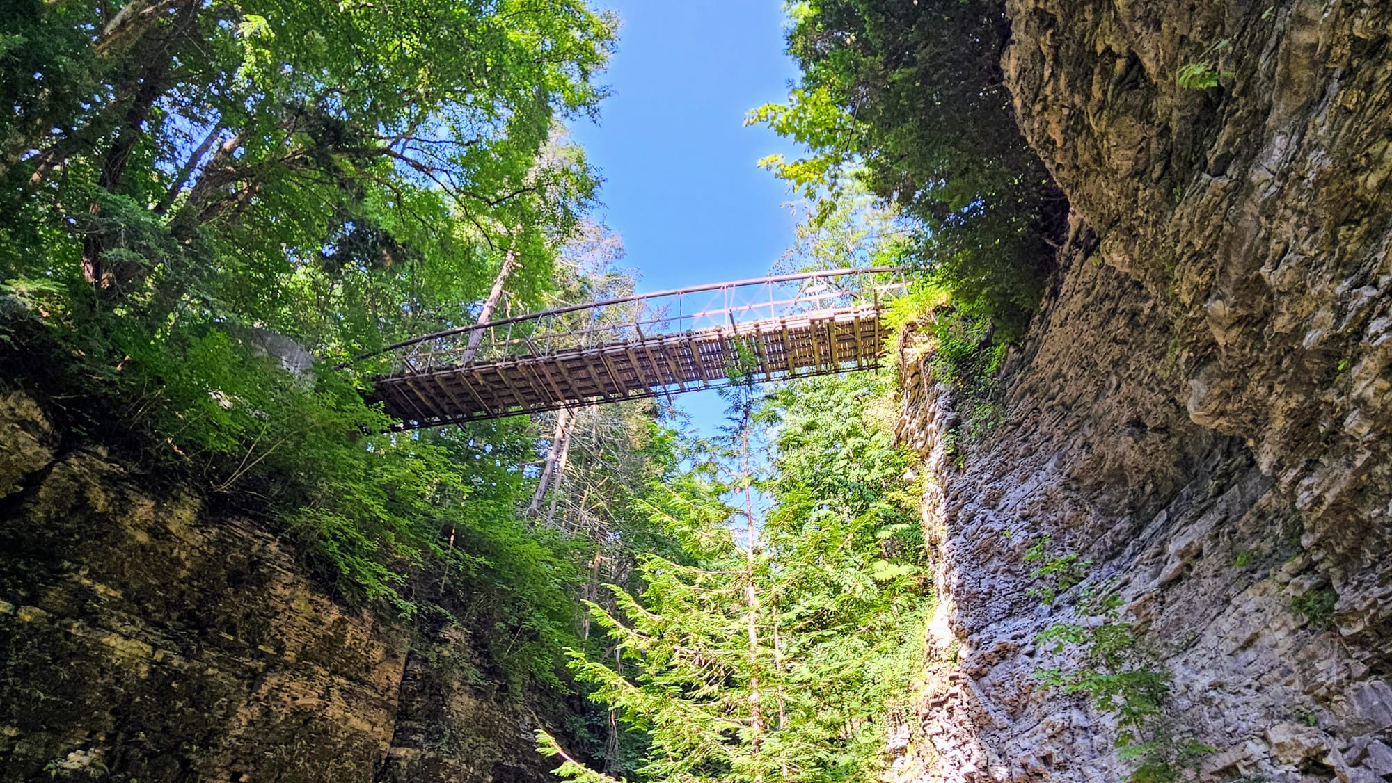
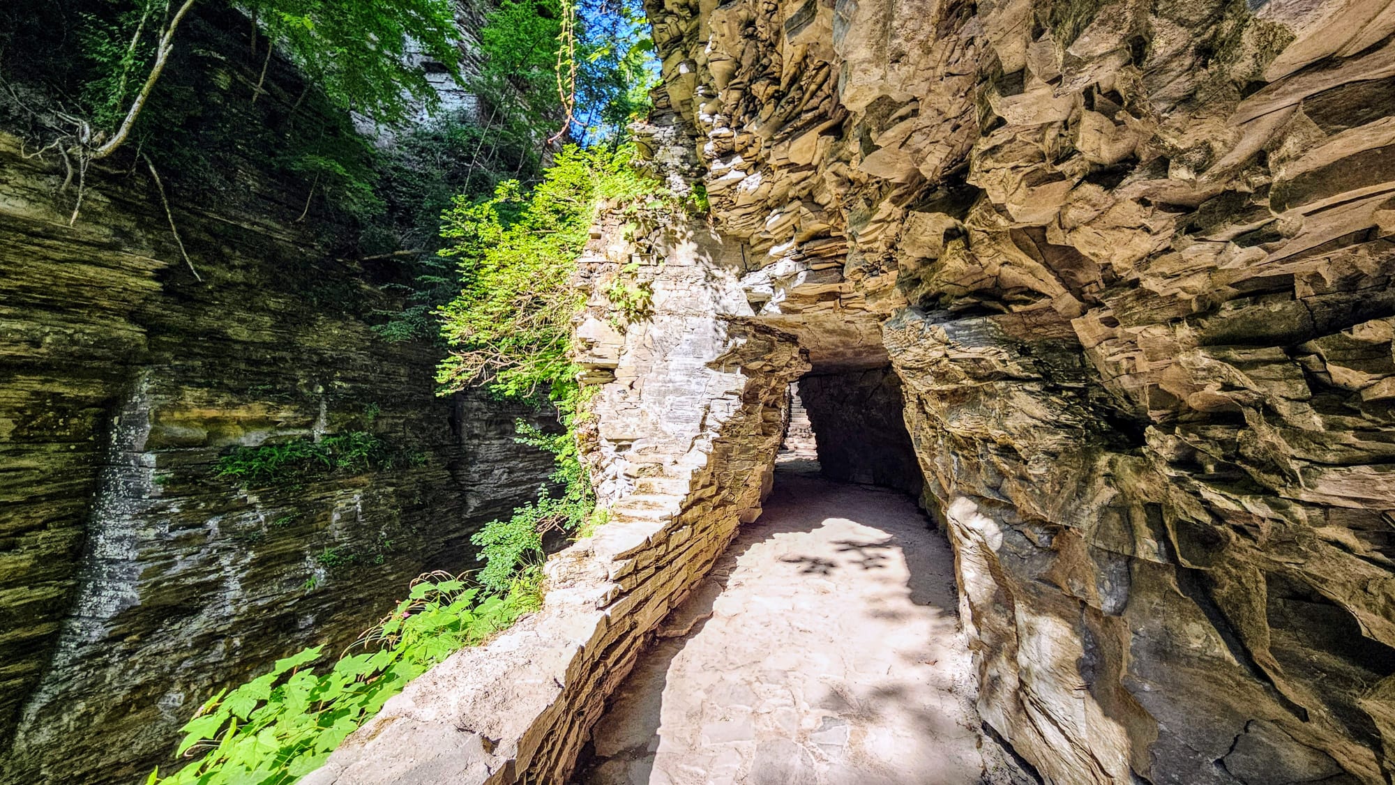
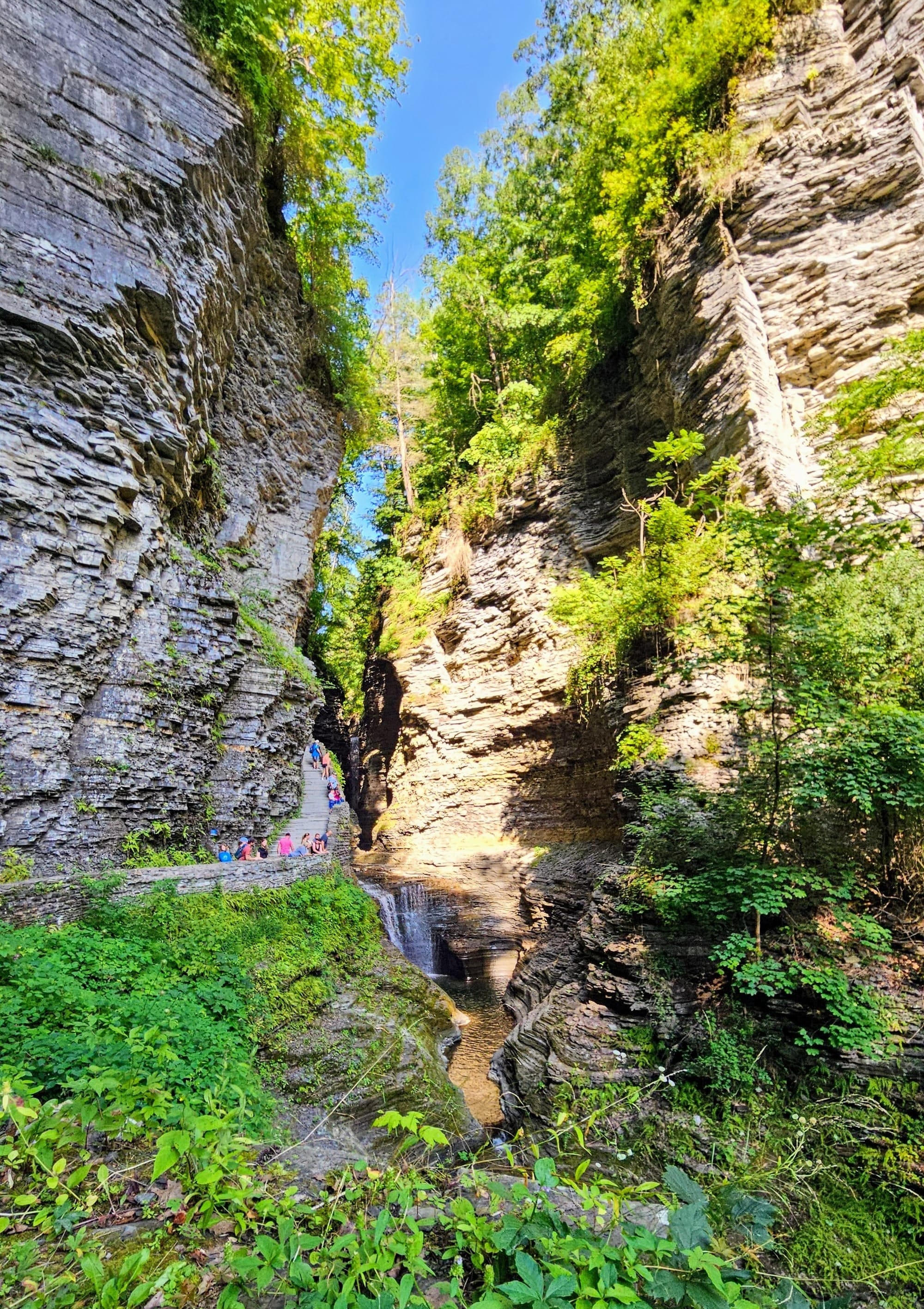
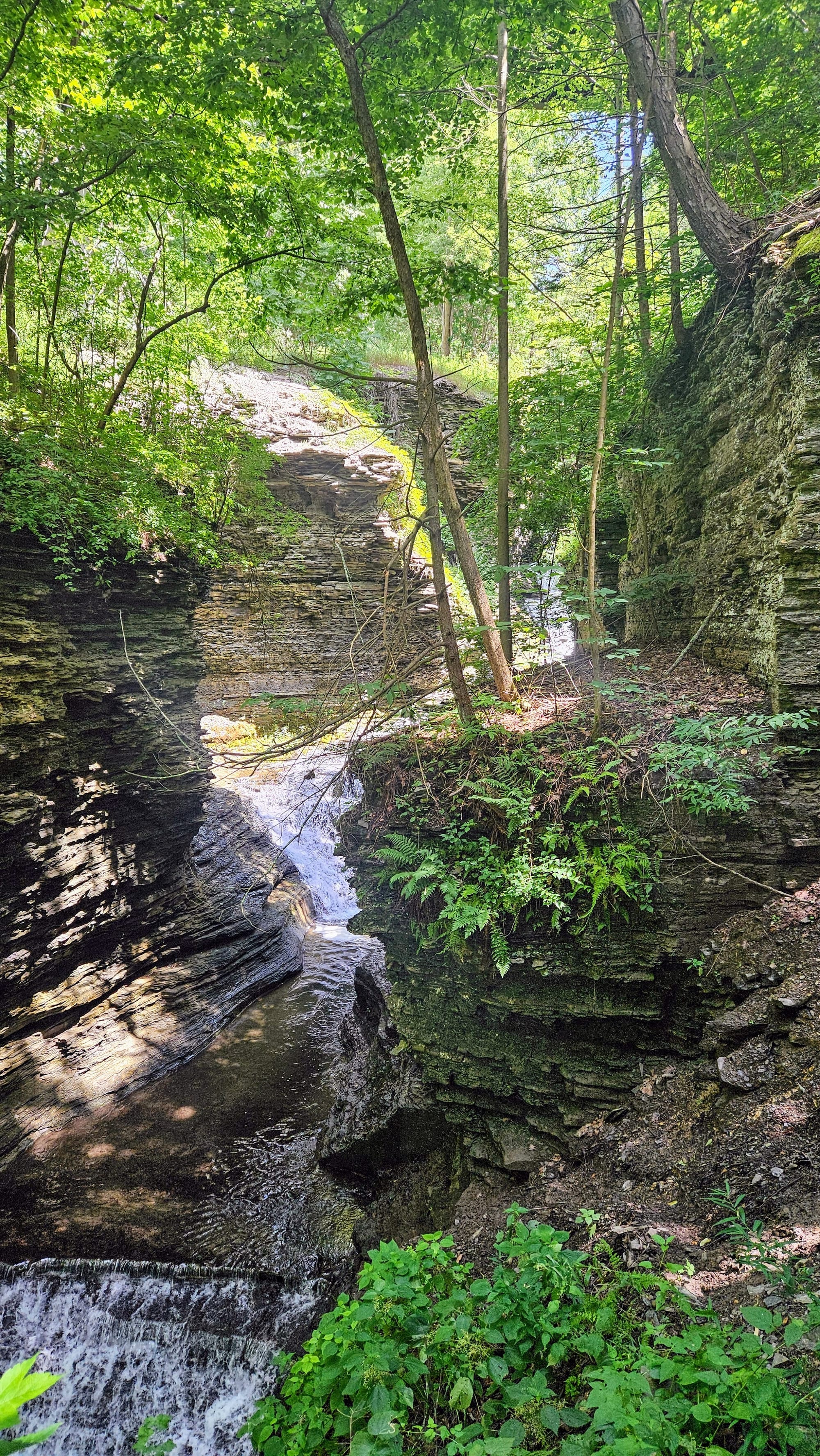
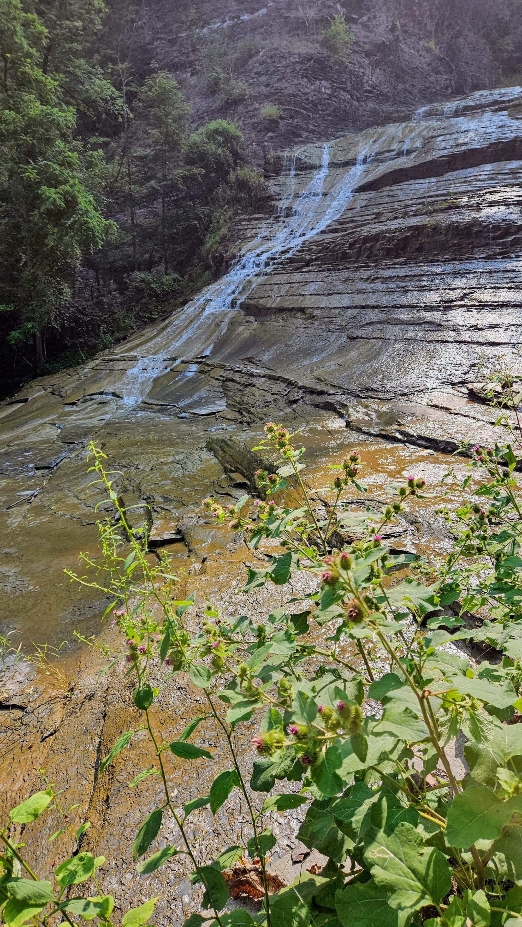
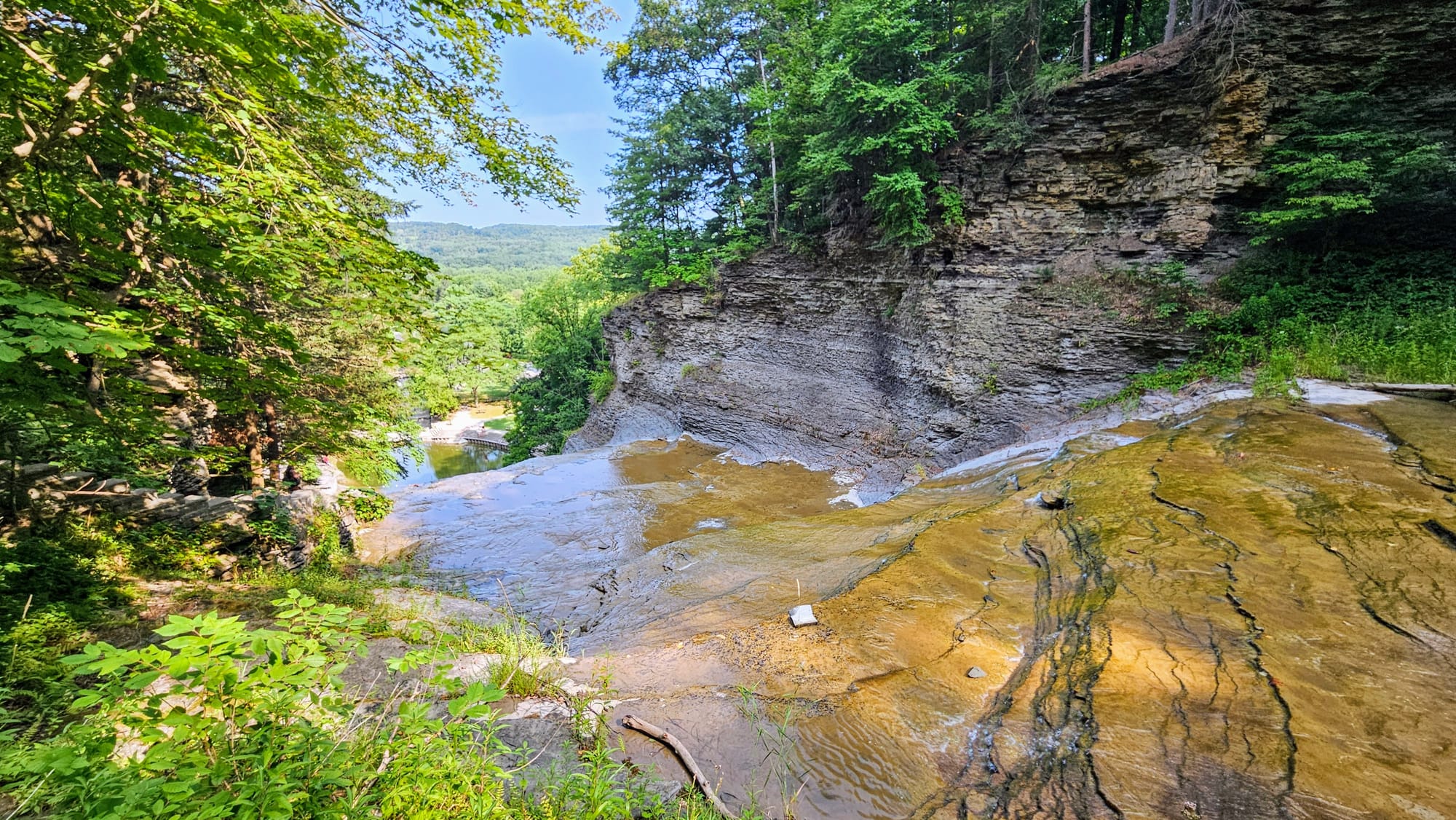
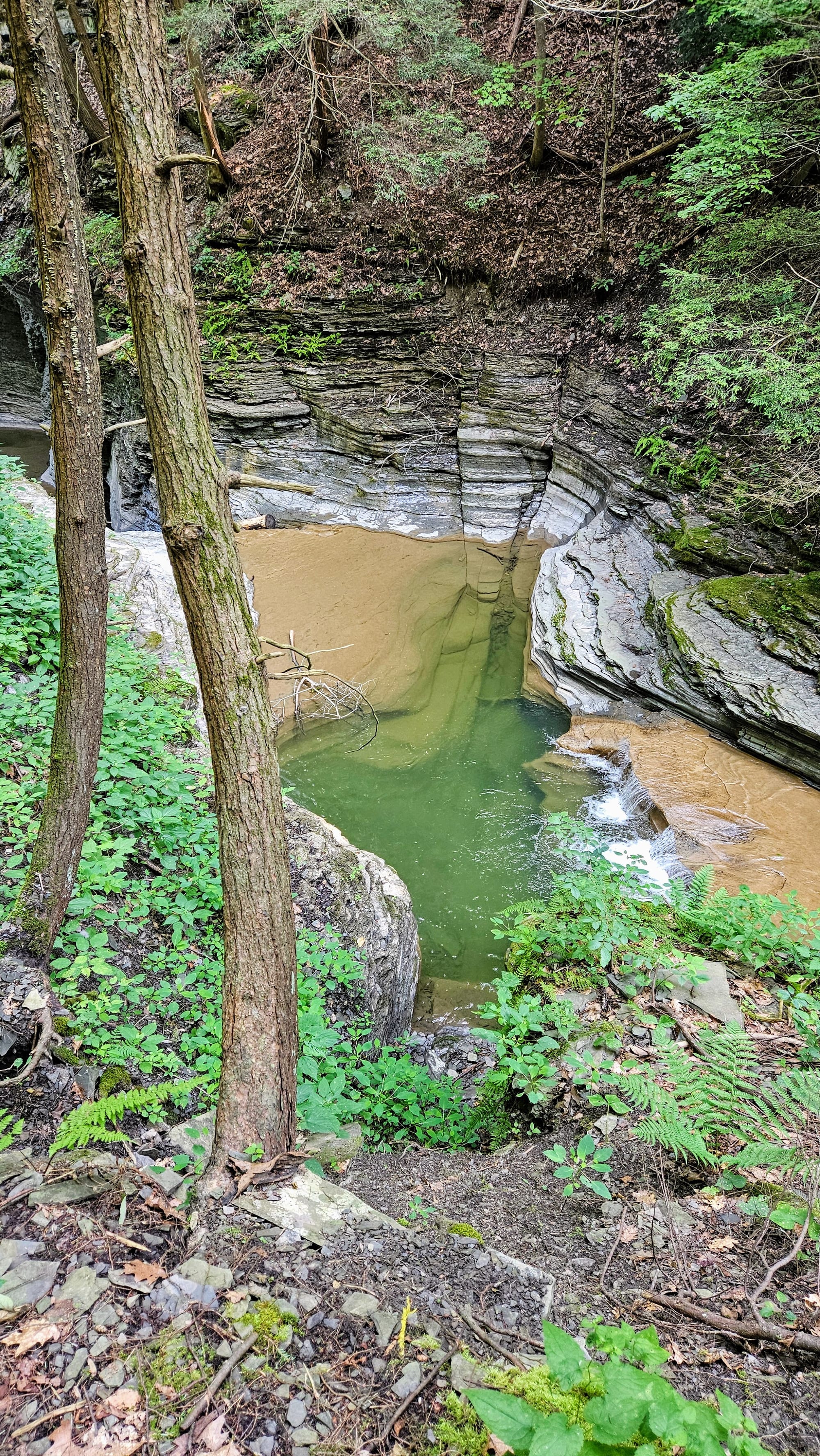
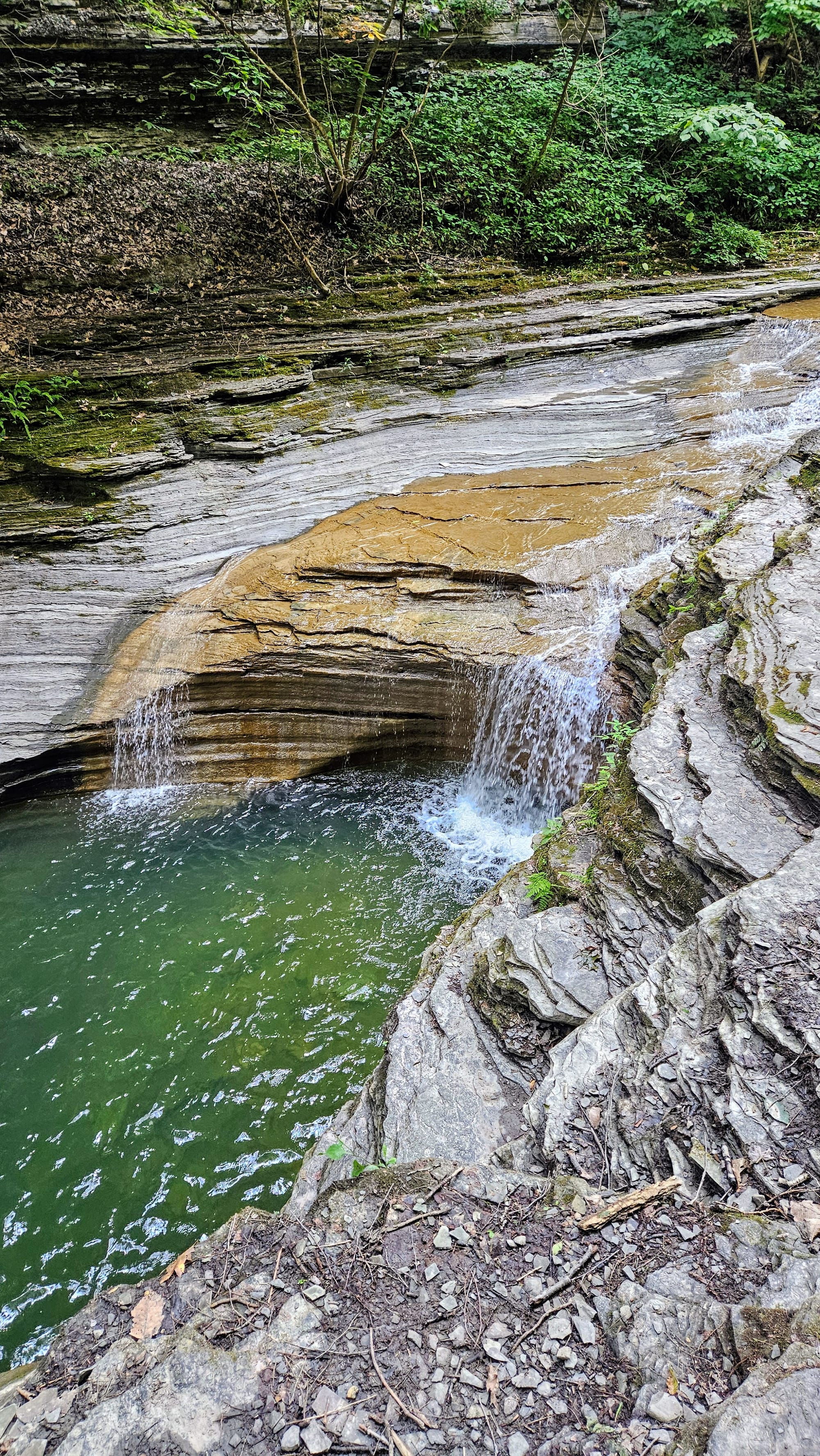
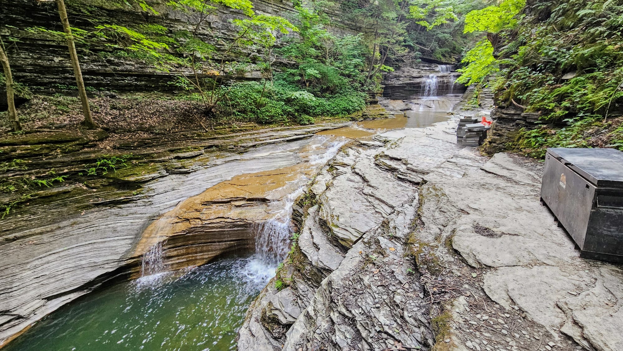
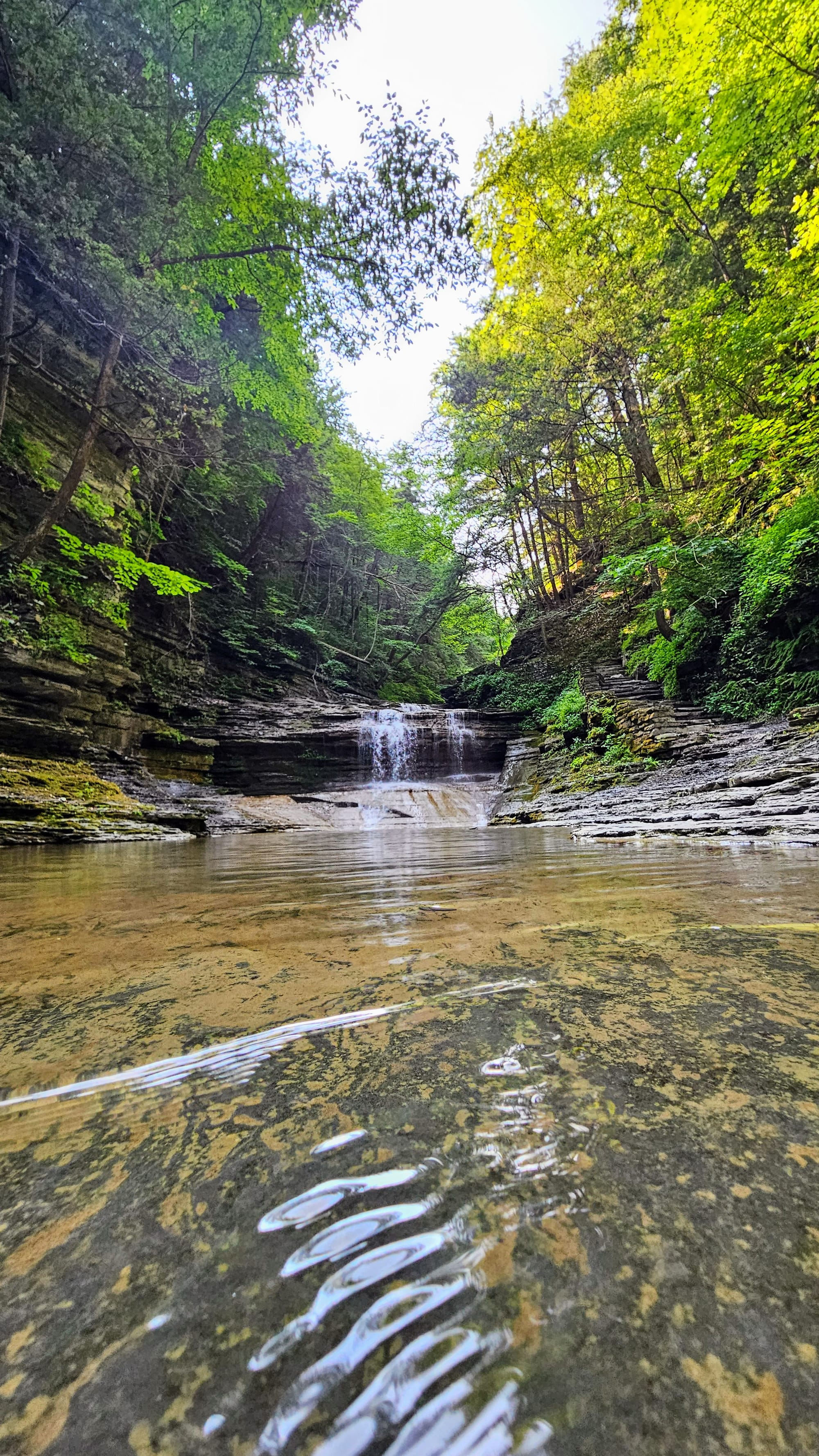
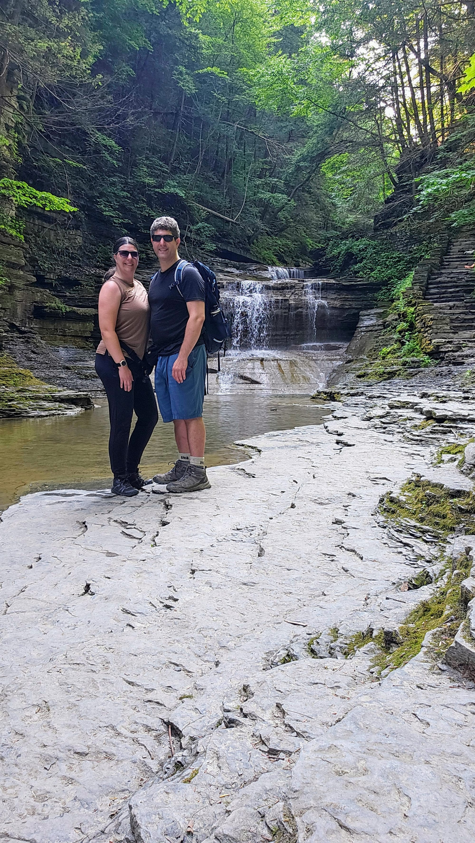
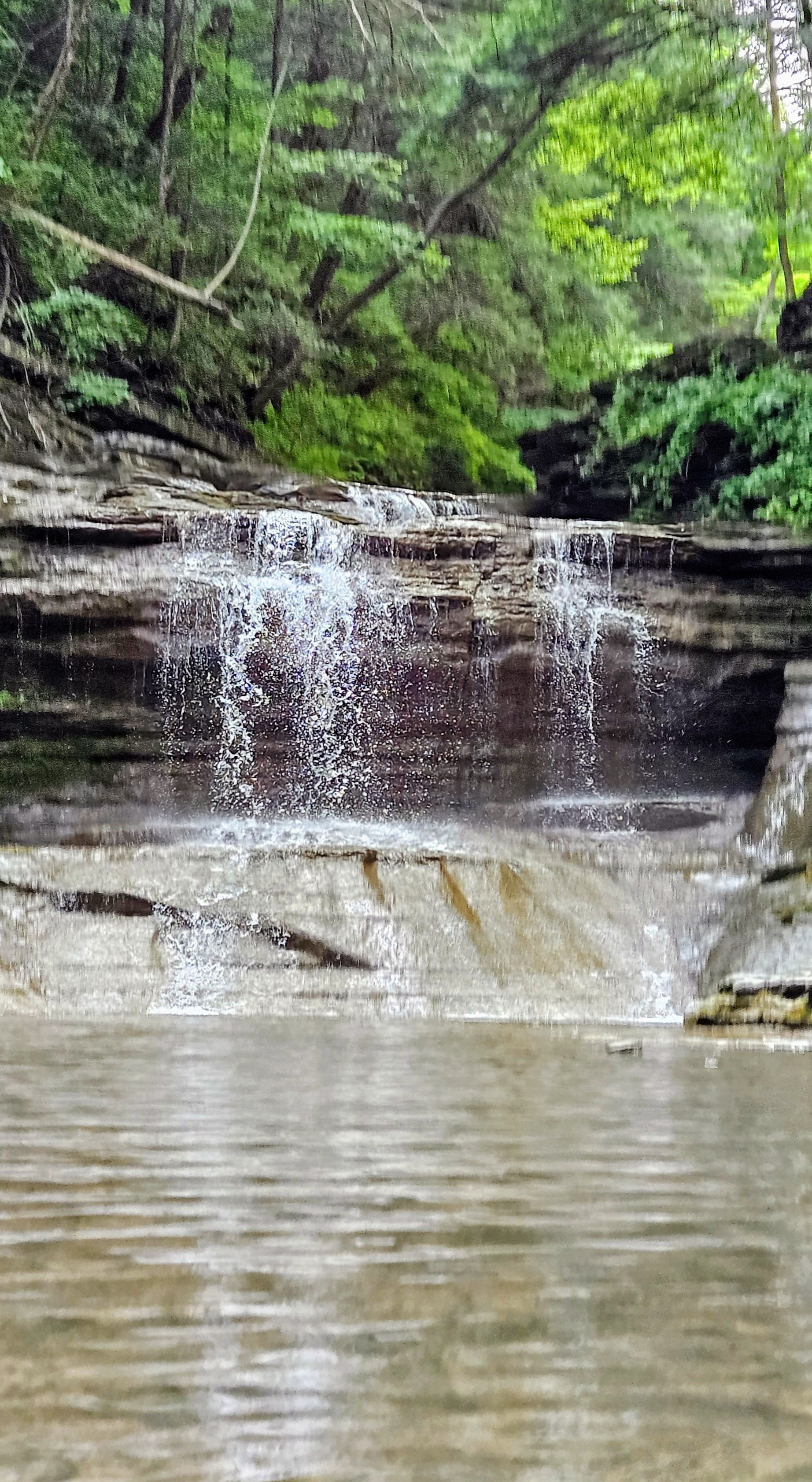
Fun features: Cascades, bridges, tunnels, and staircases
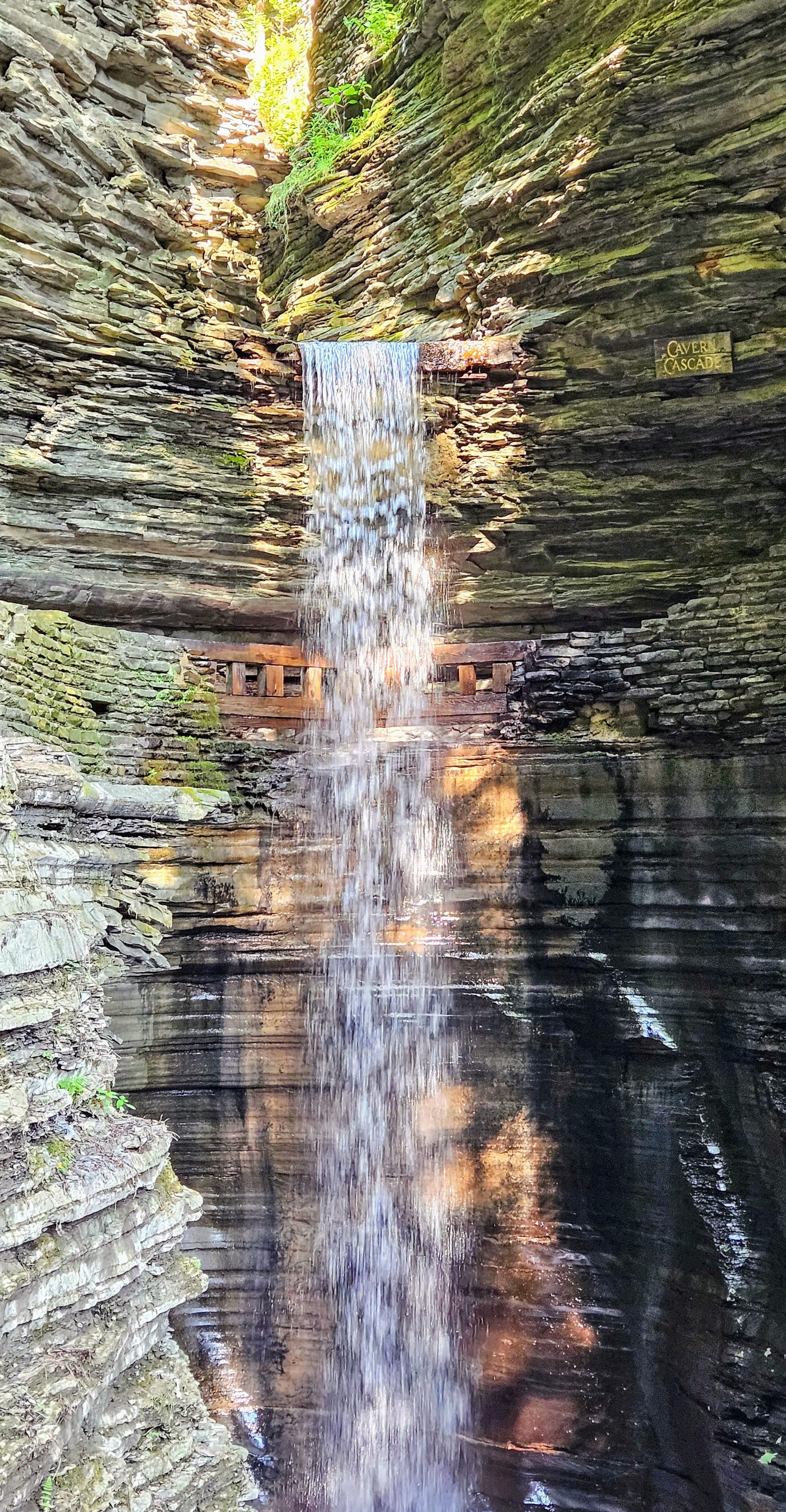
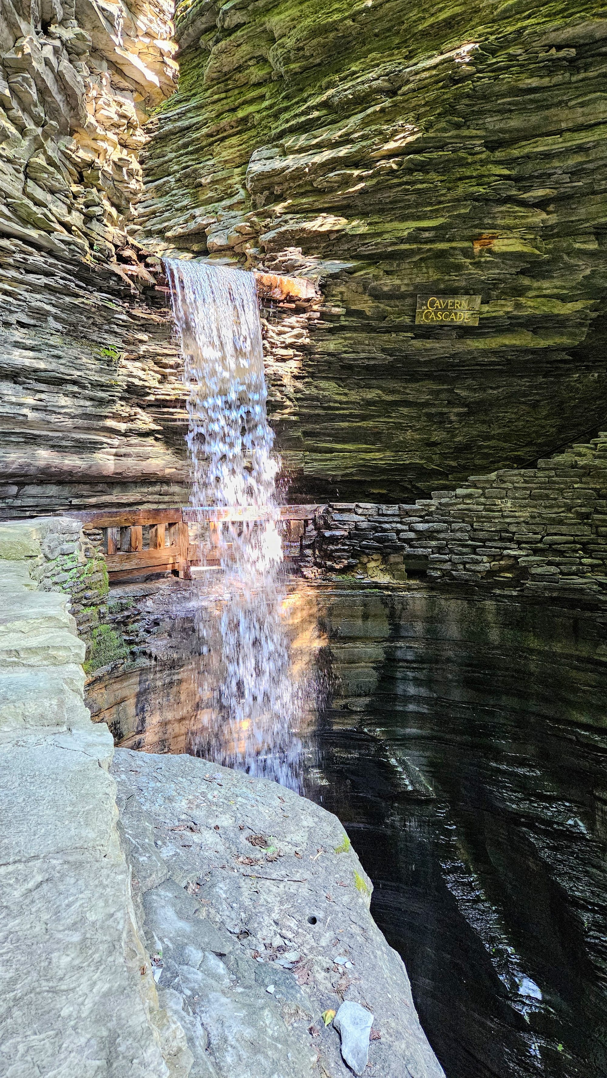
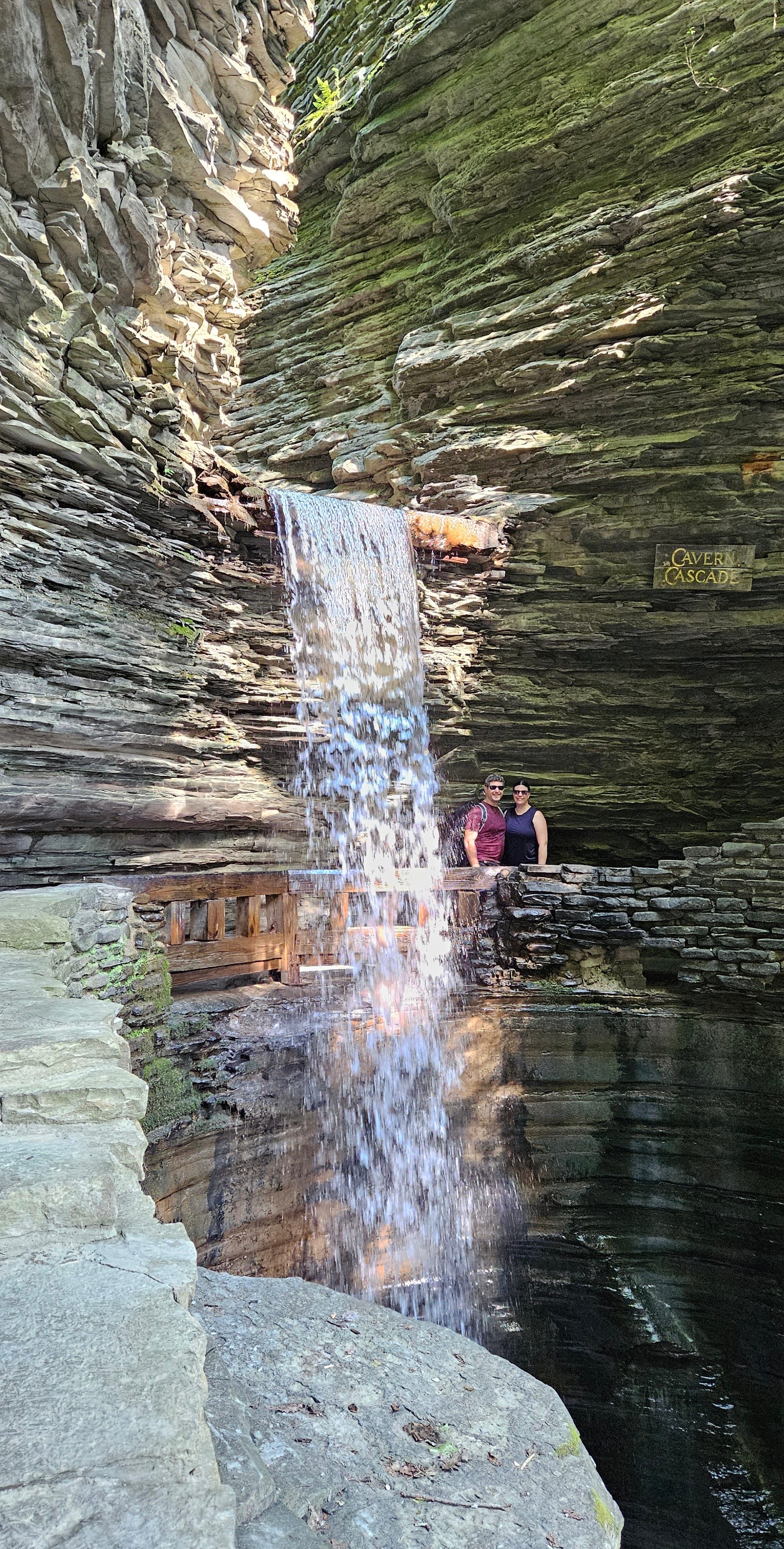
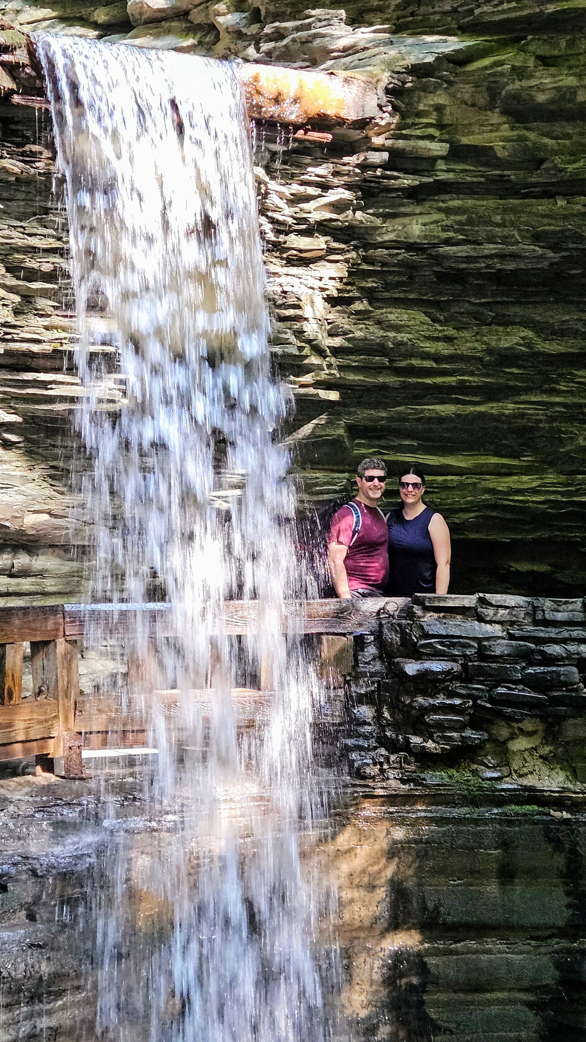
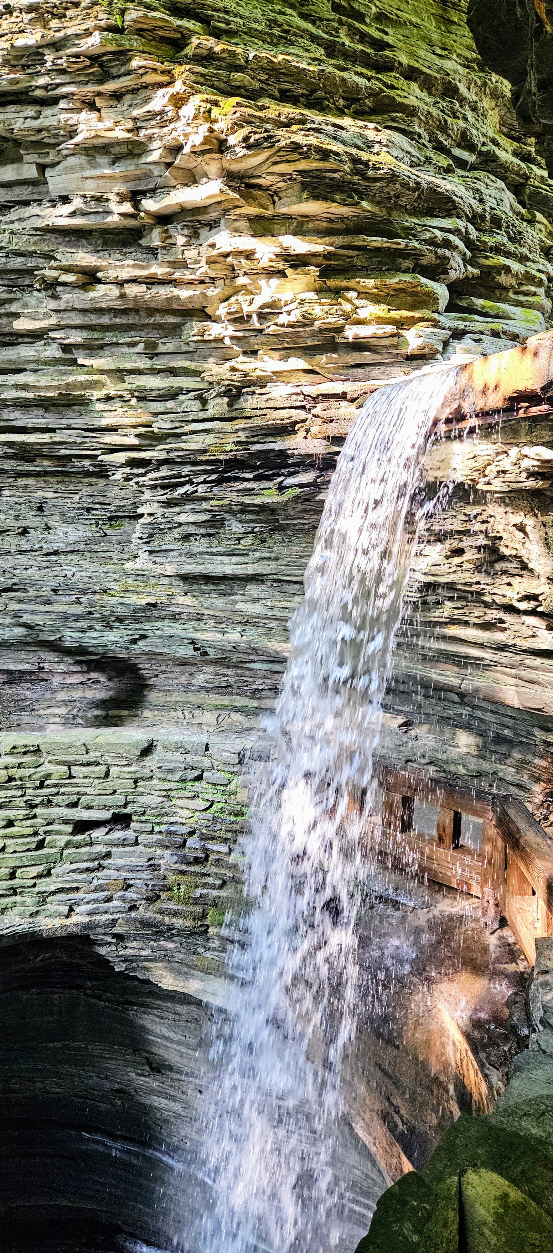
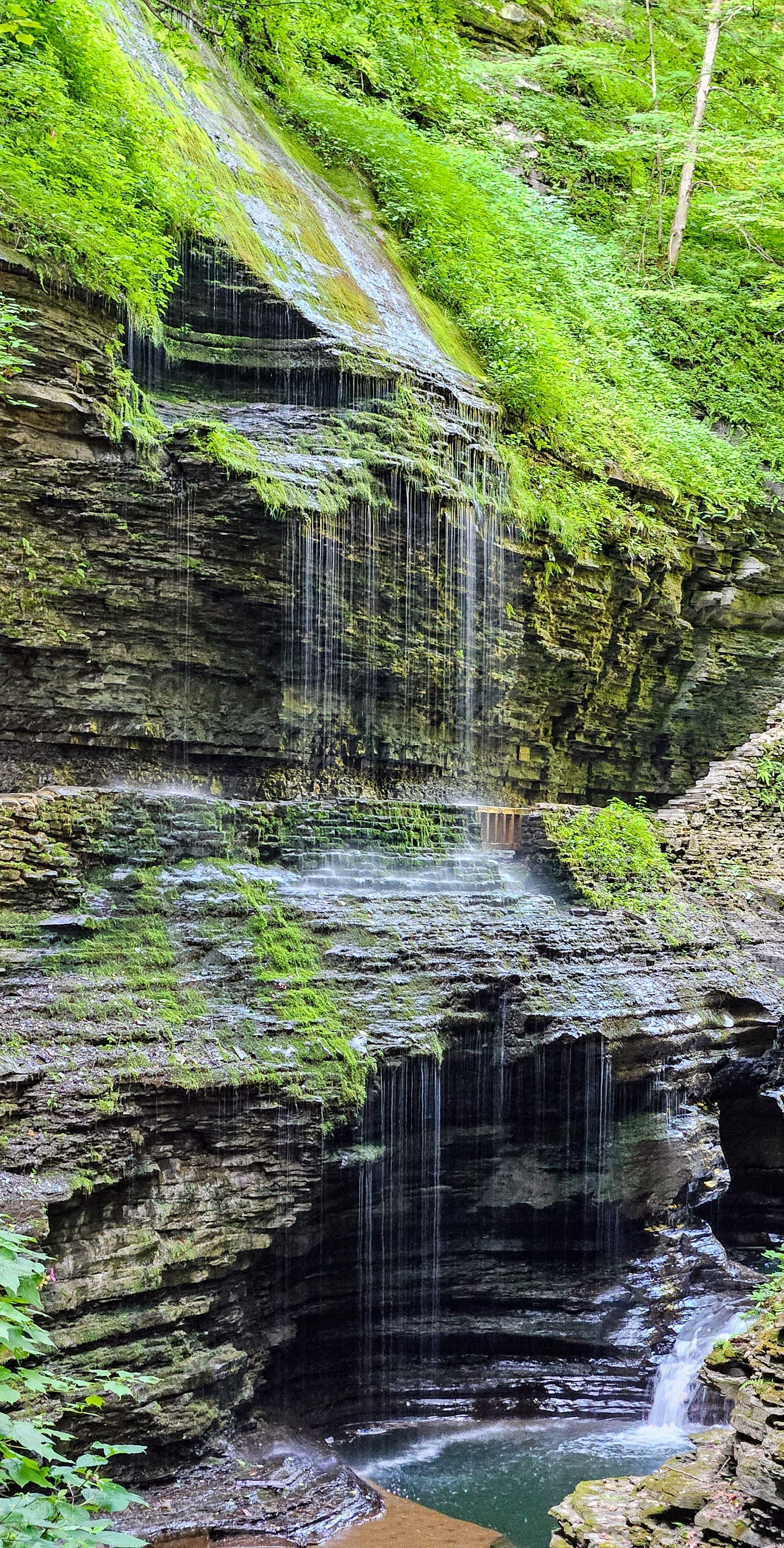
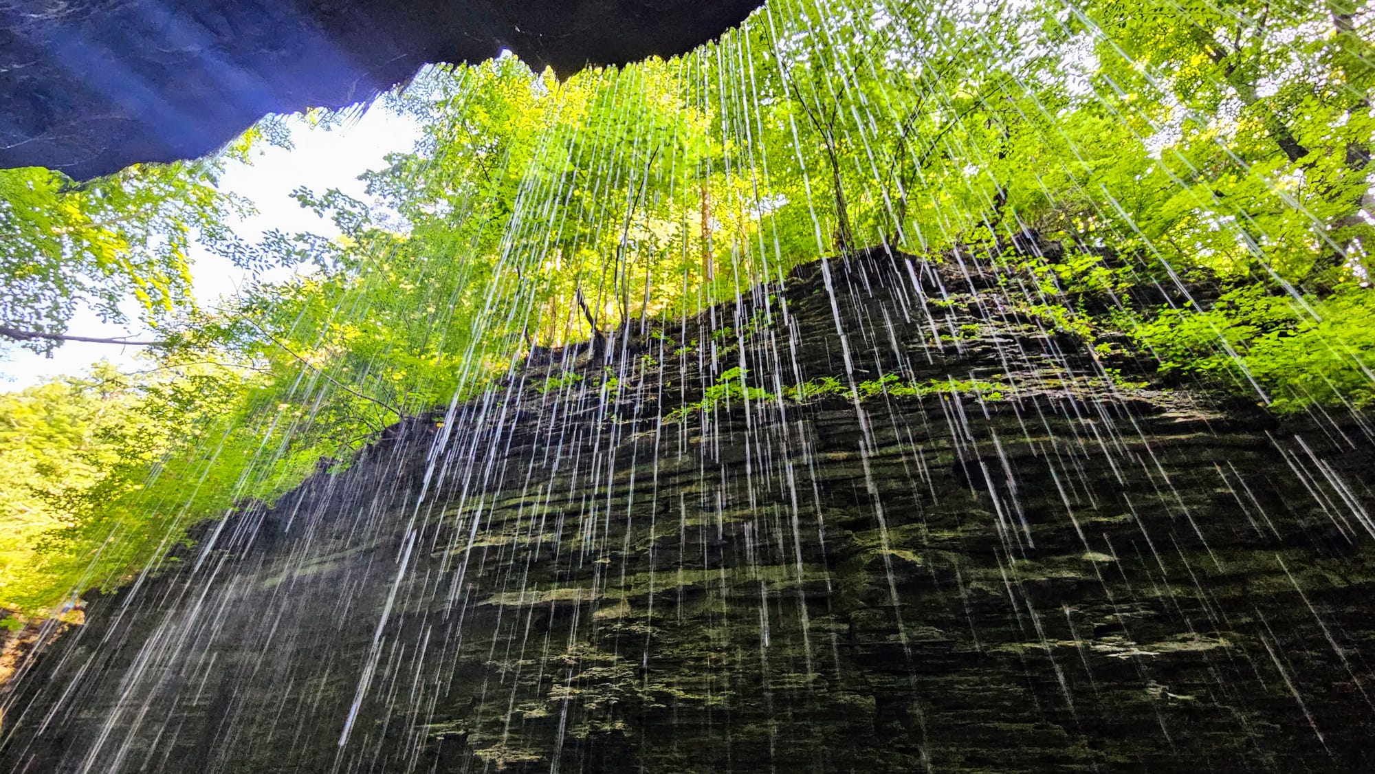
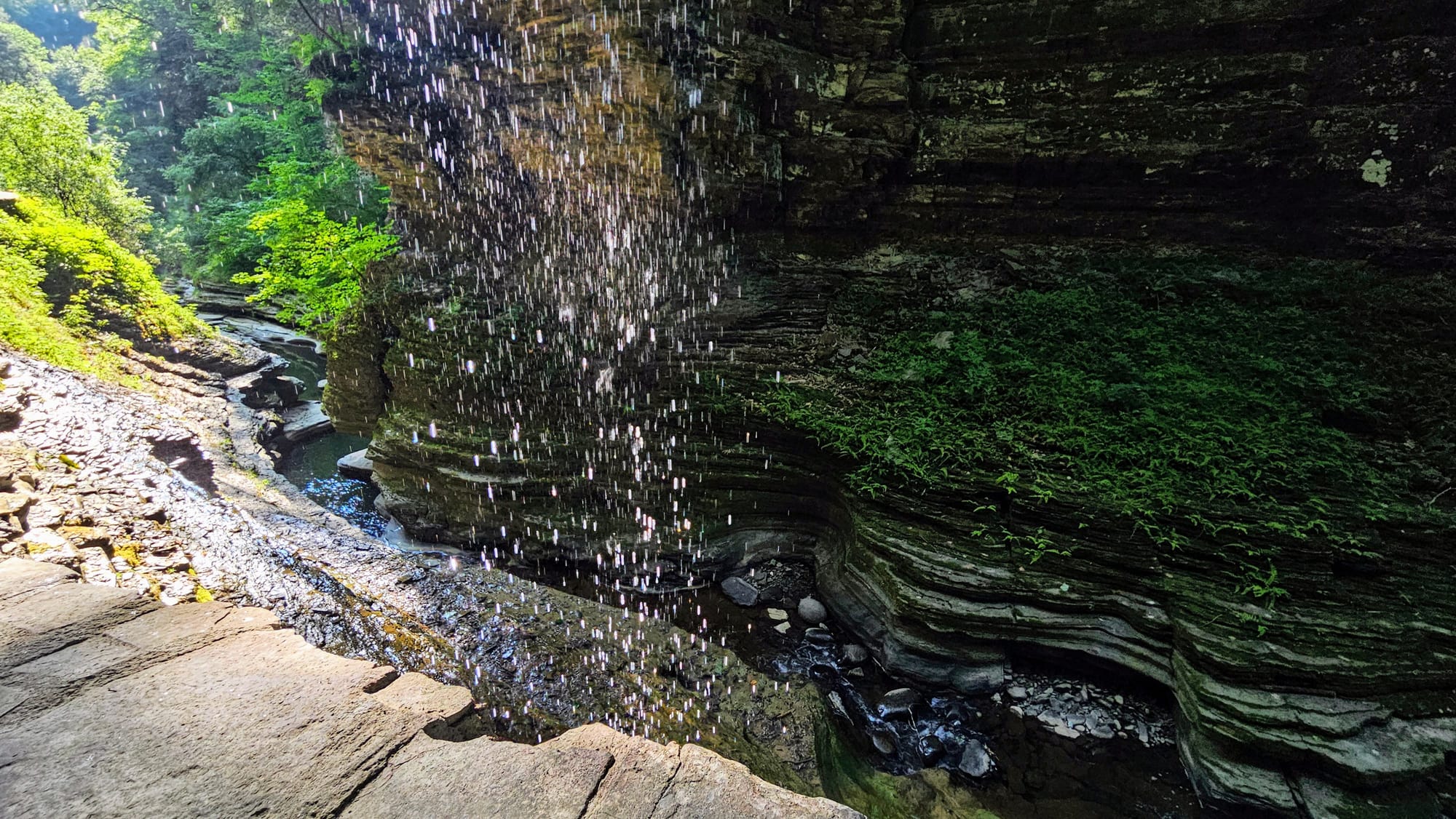
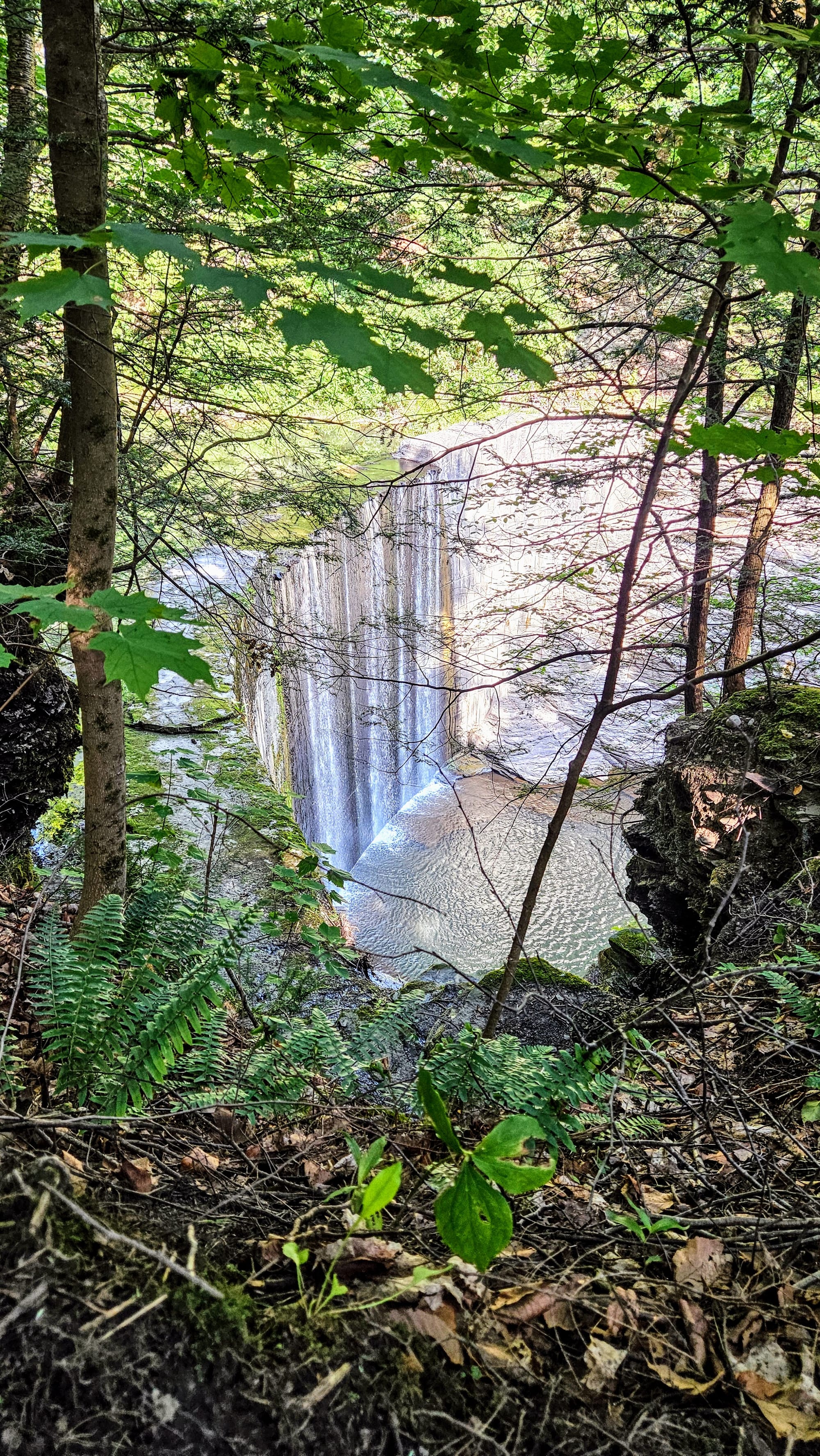
Waterfalls you can walk behind!
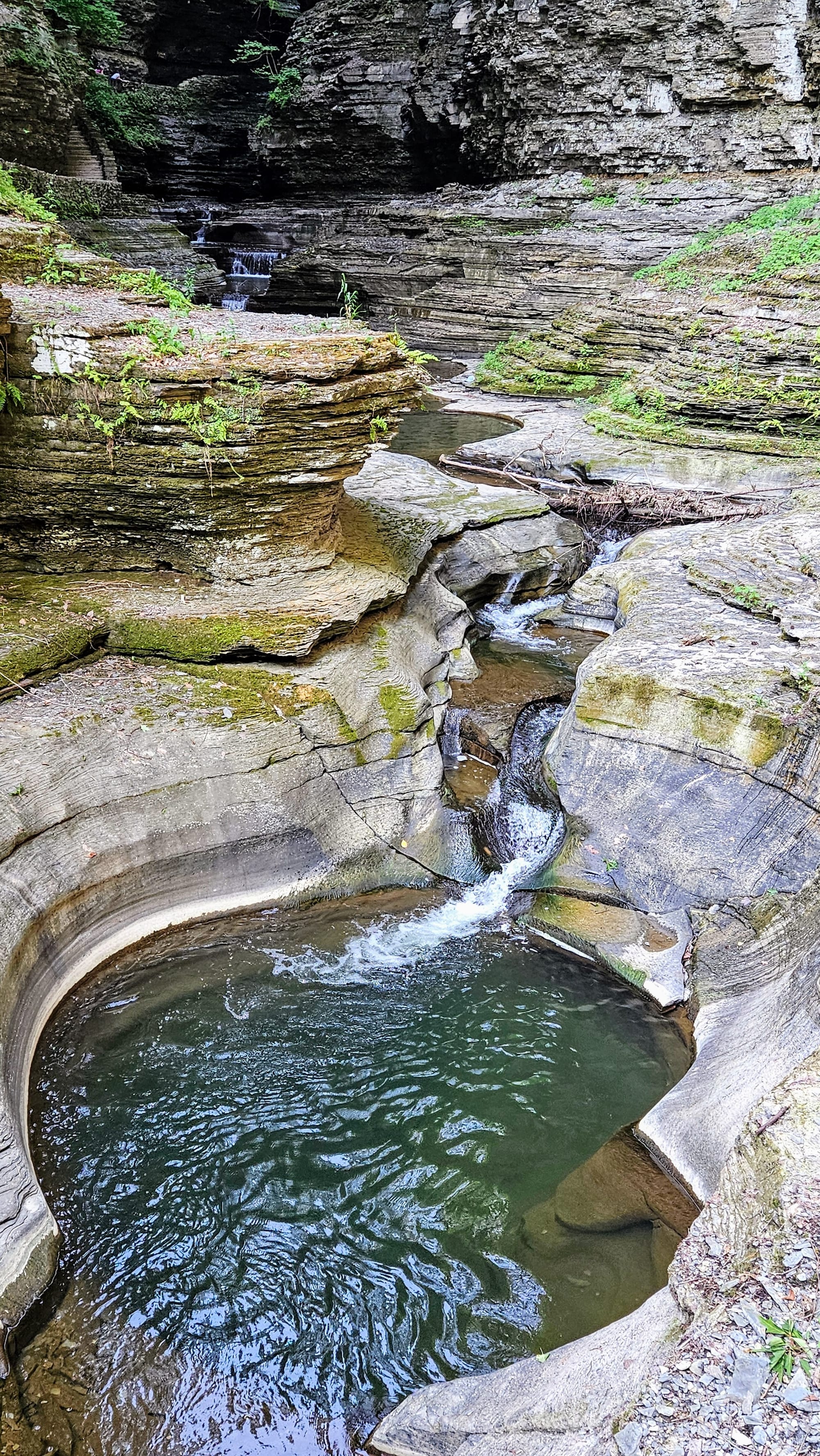
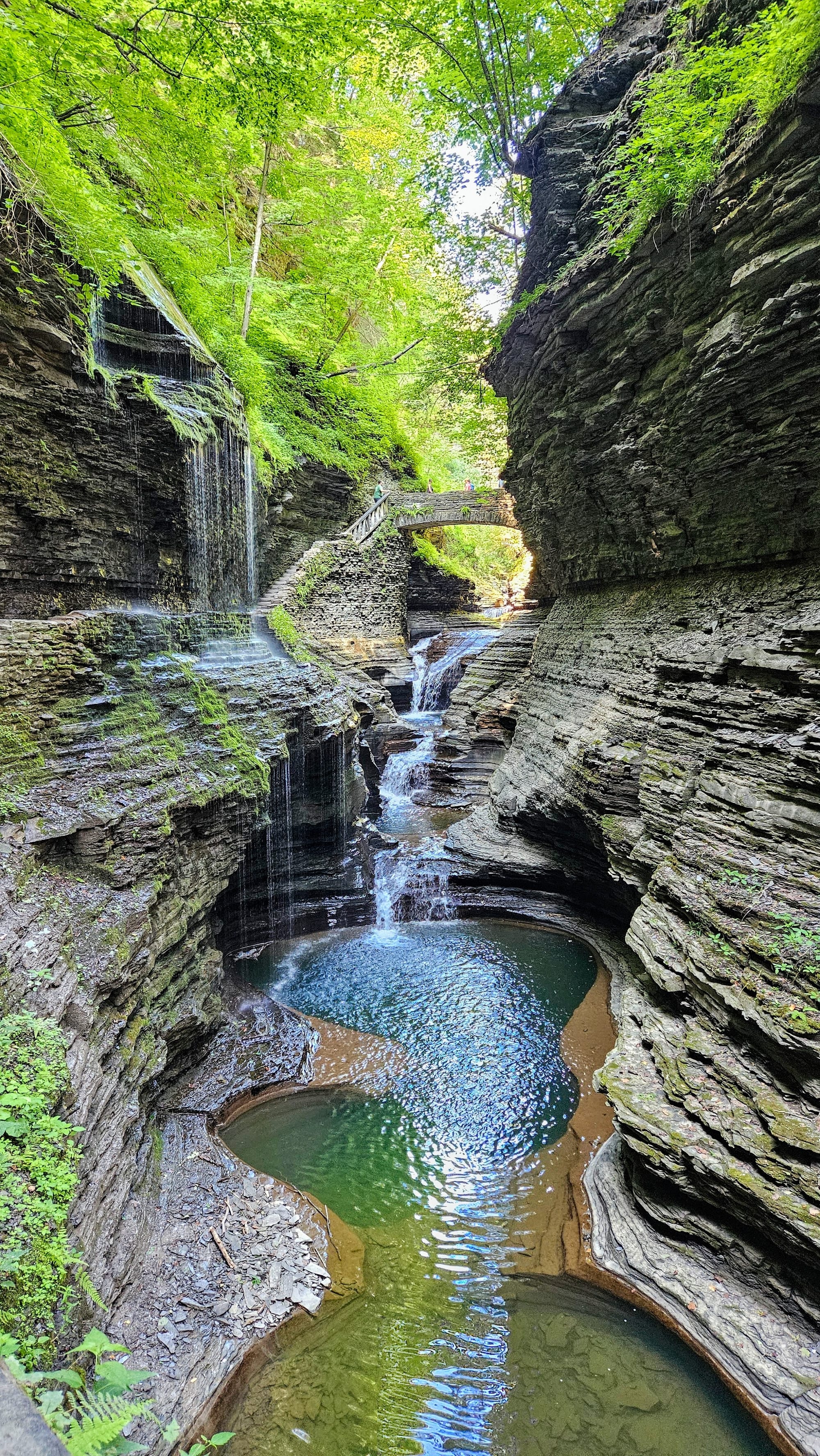
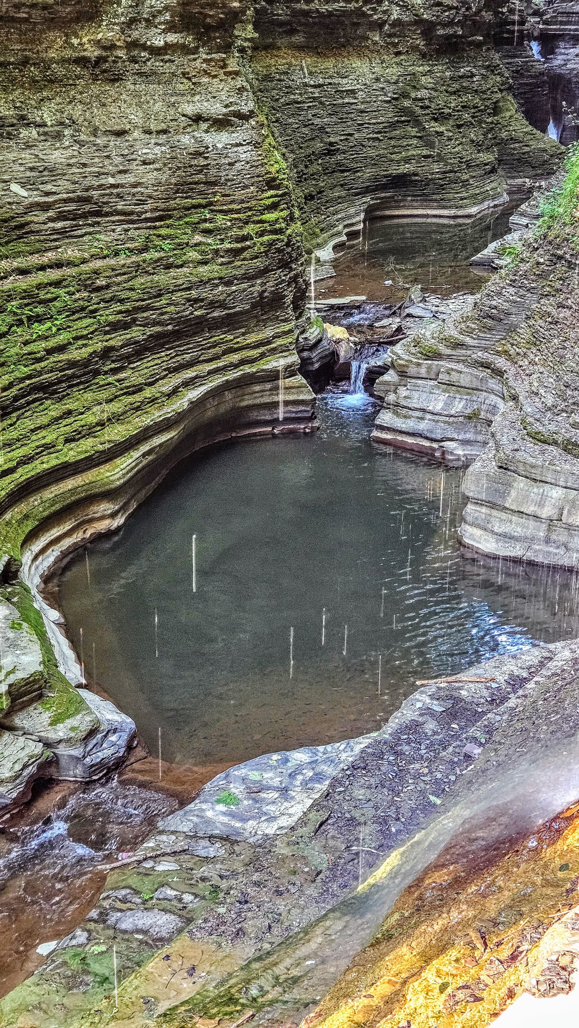

Gorge-ous views!
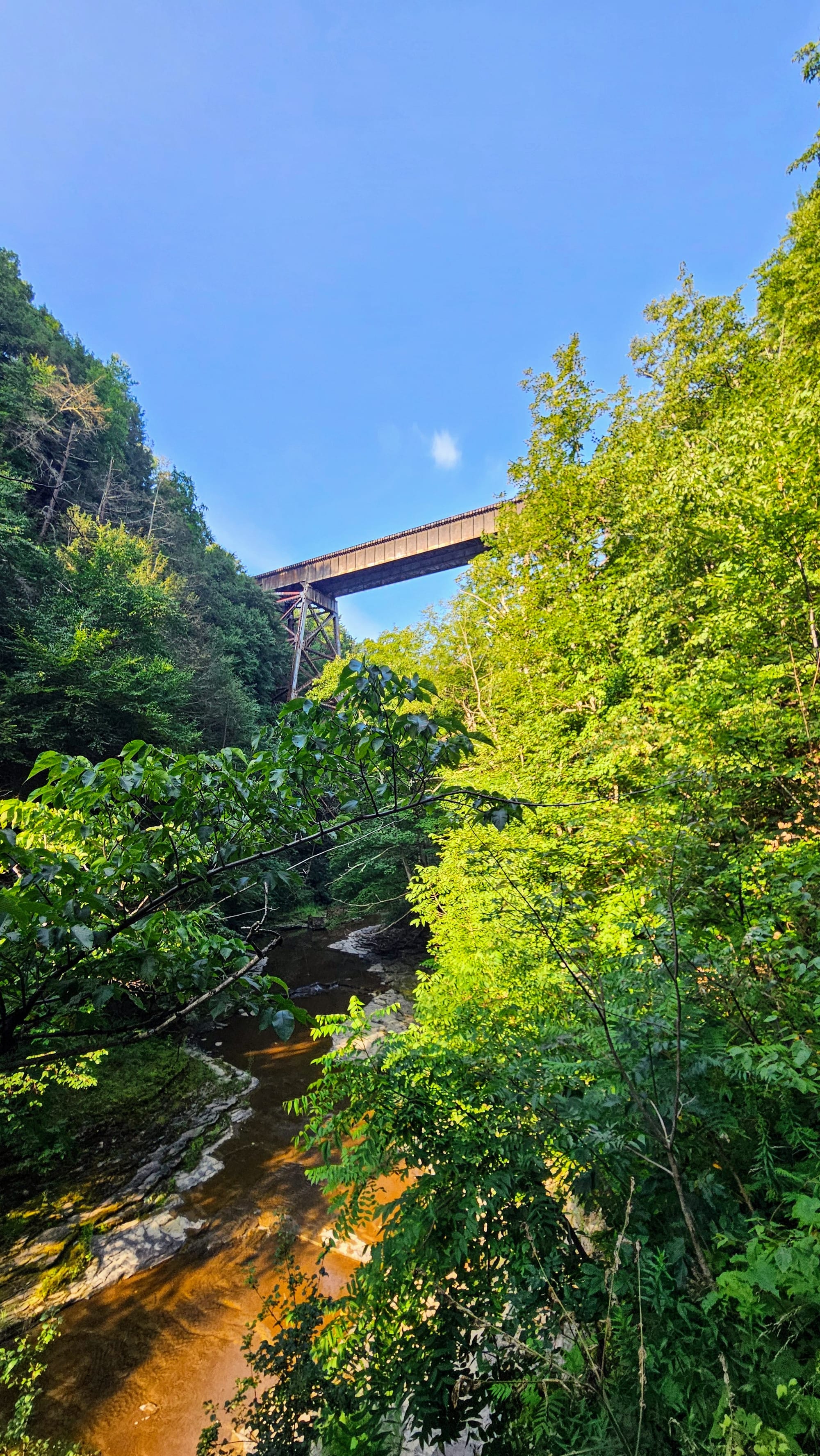
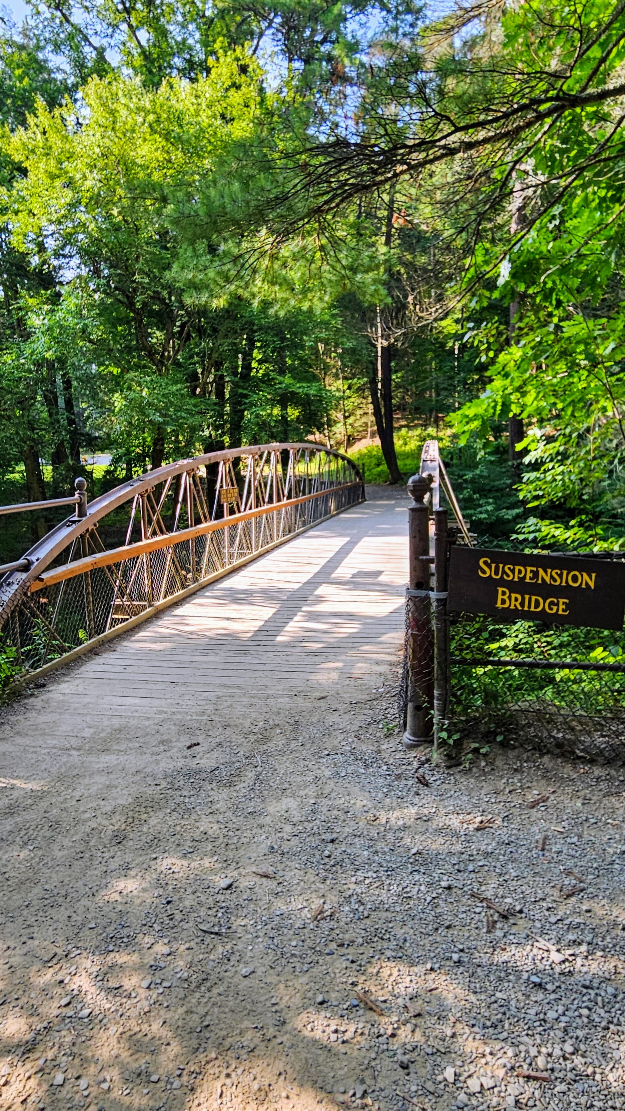
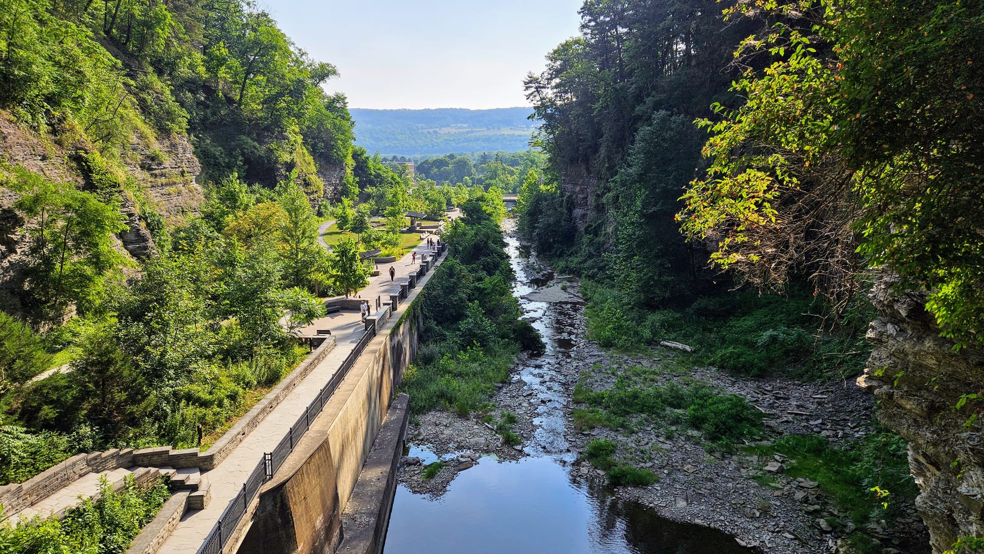
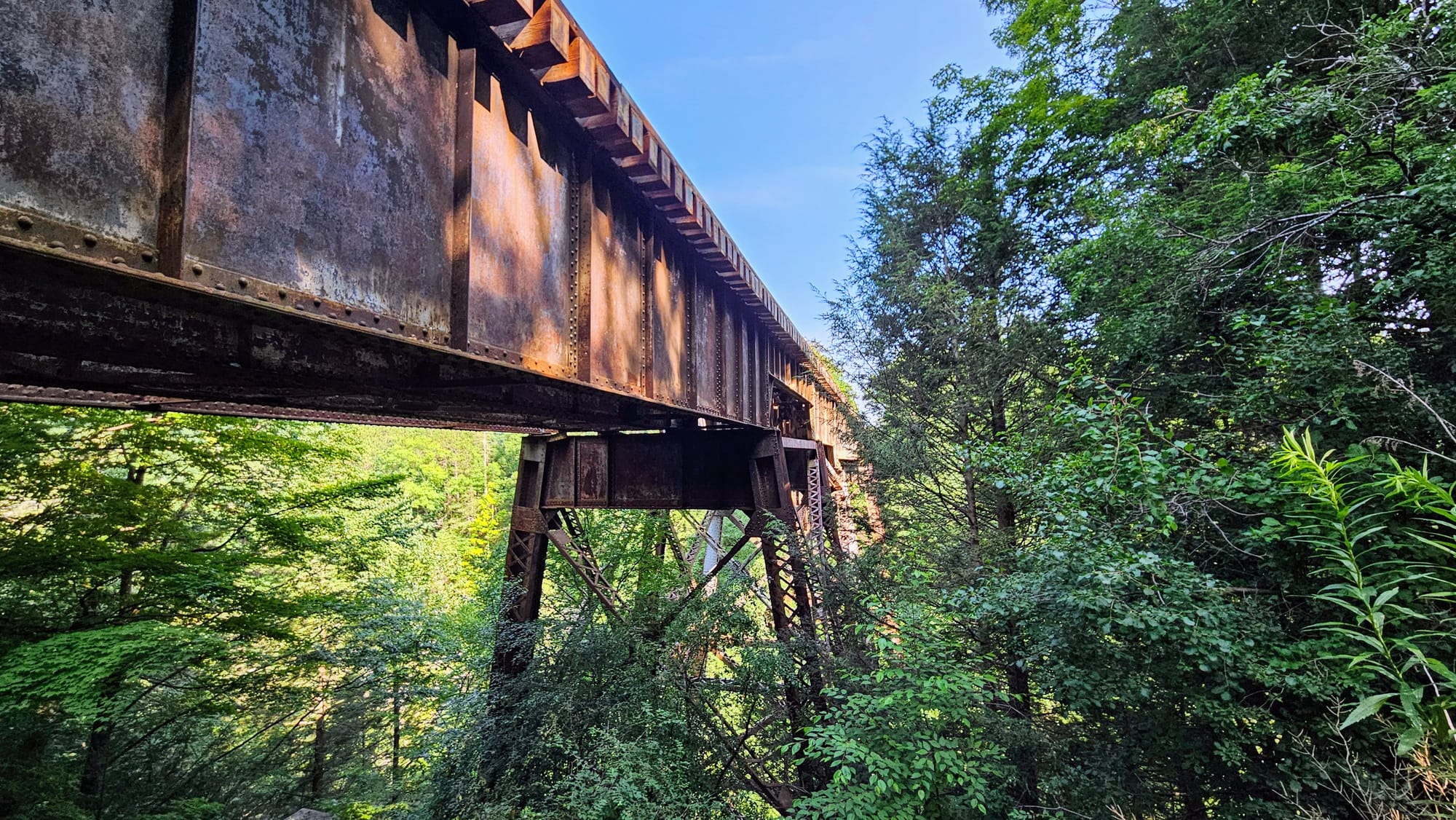
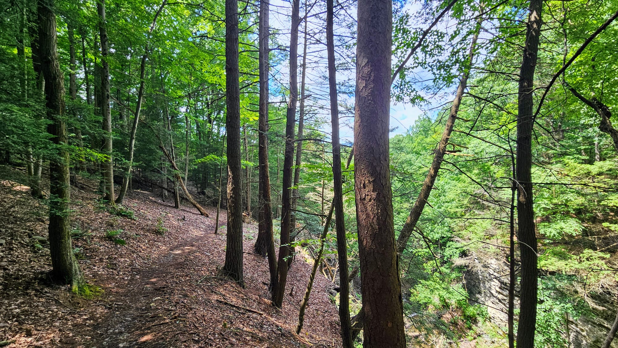
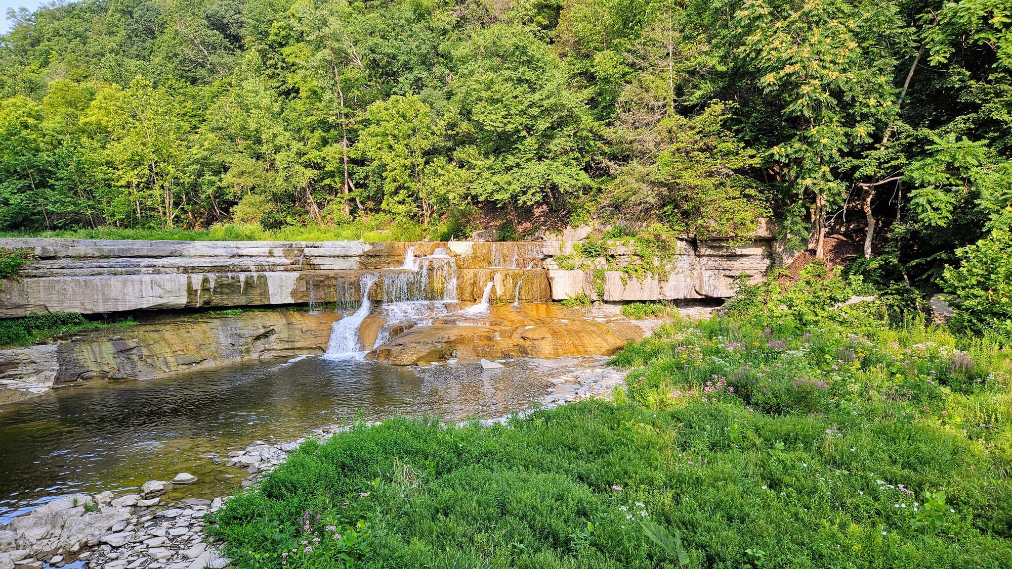
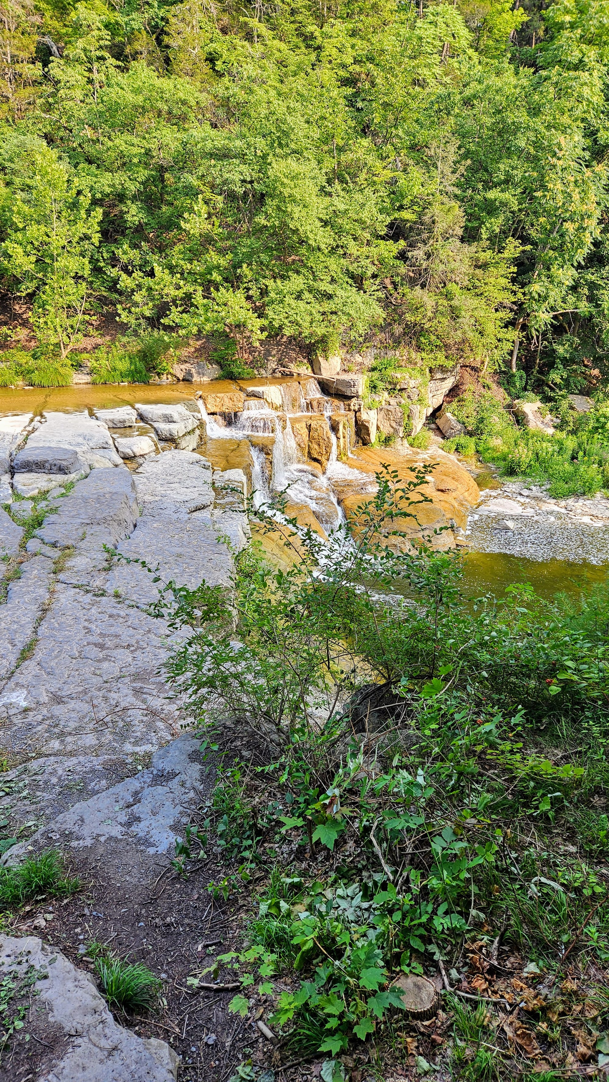
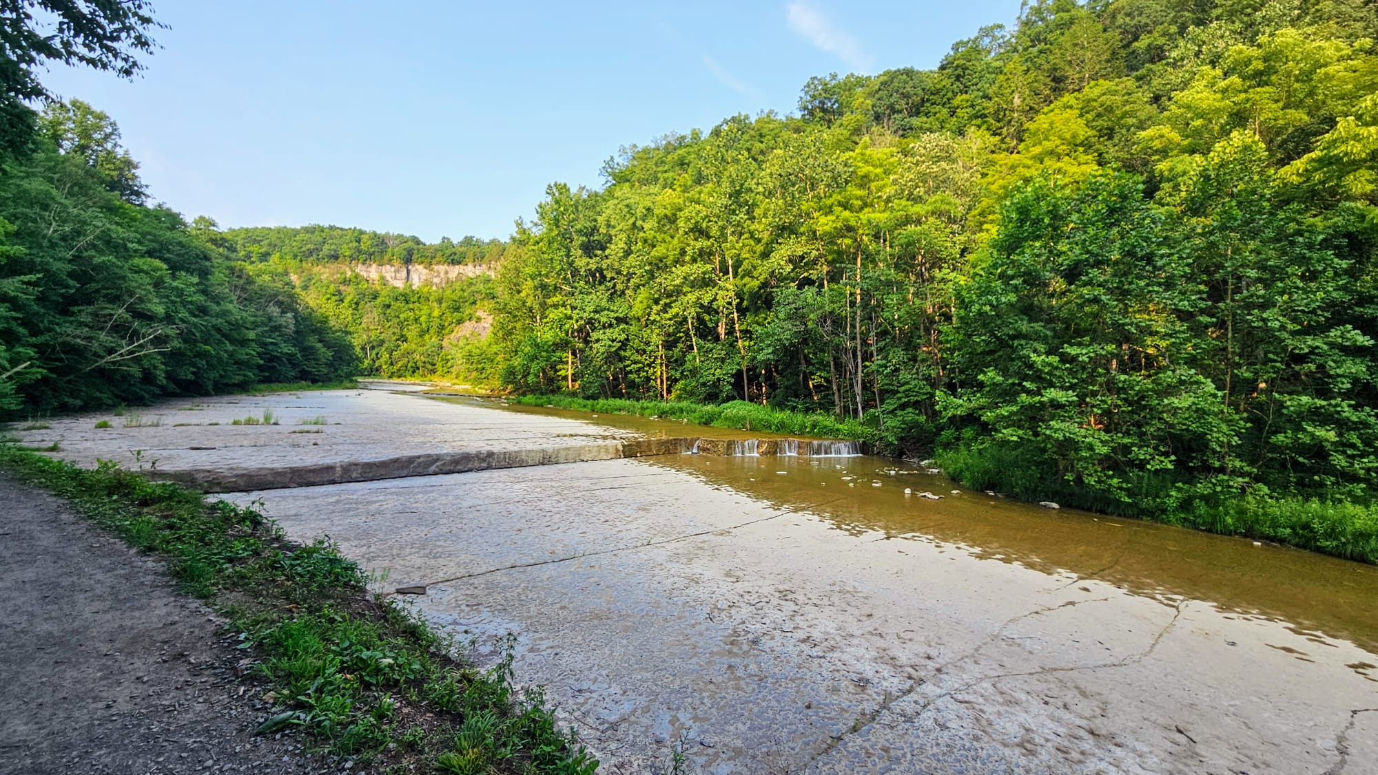
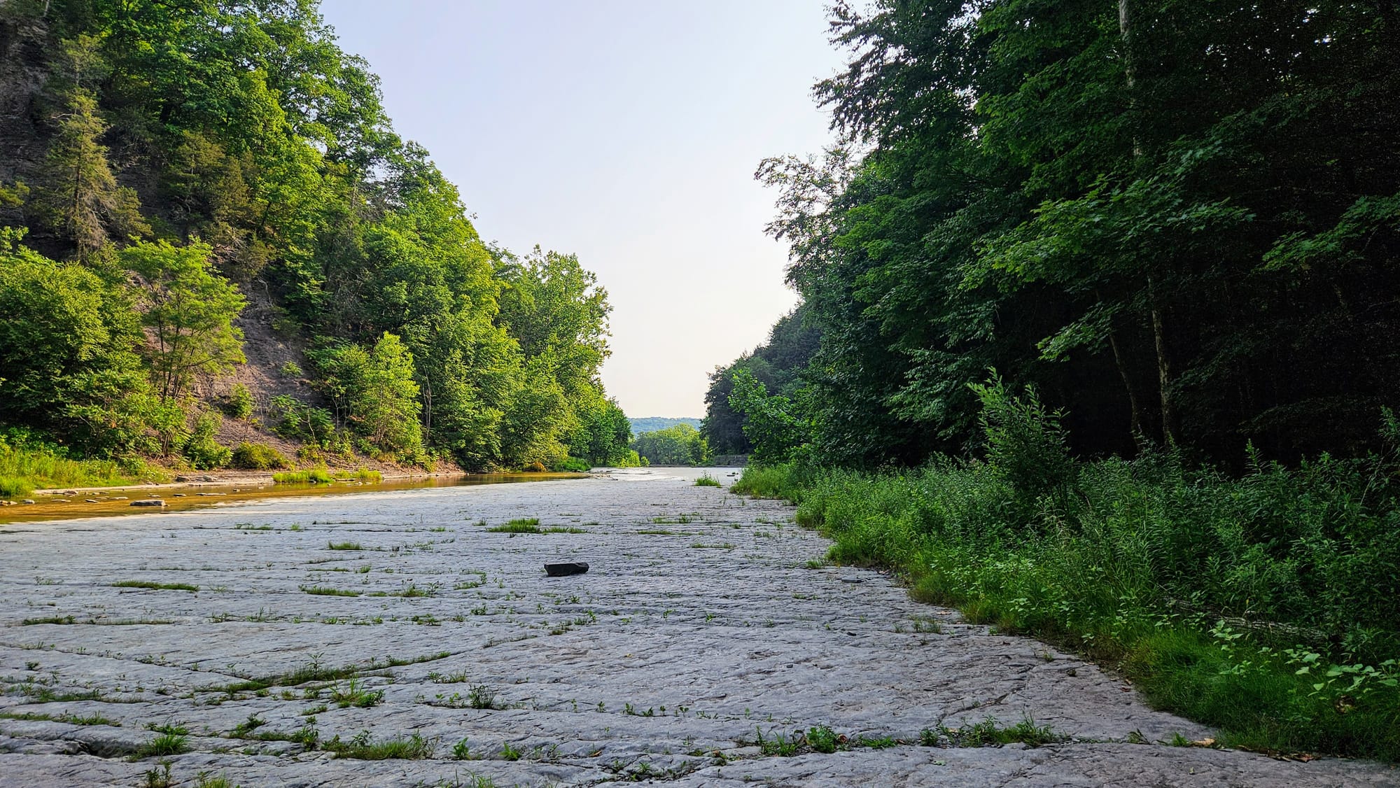
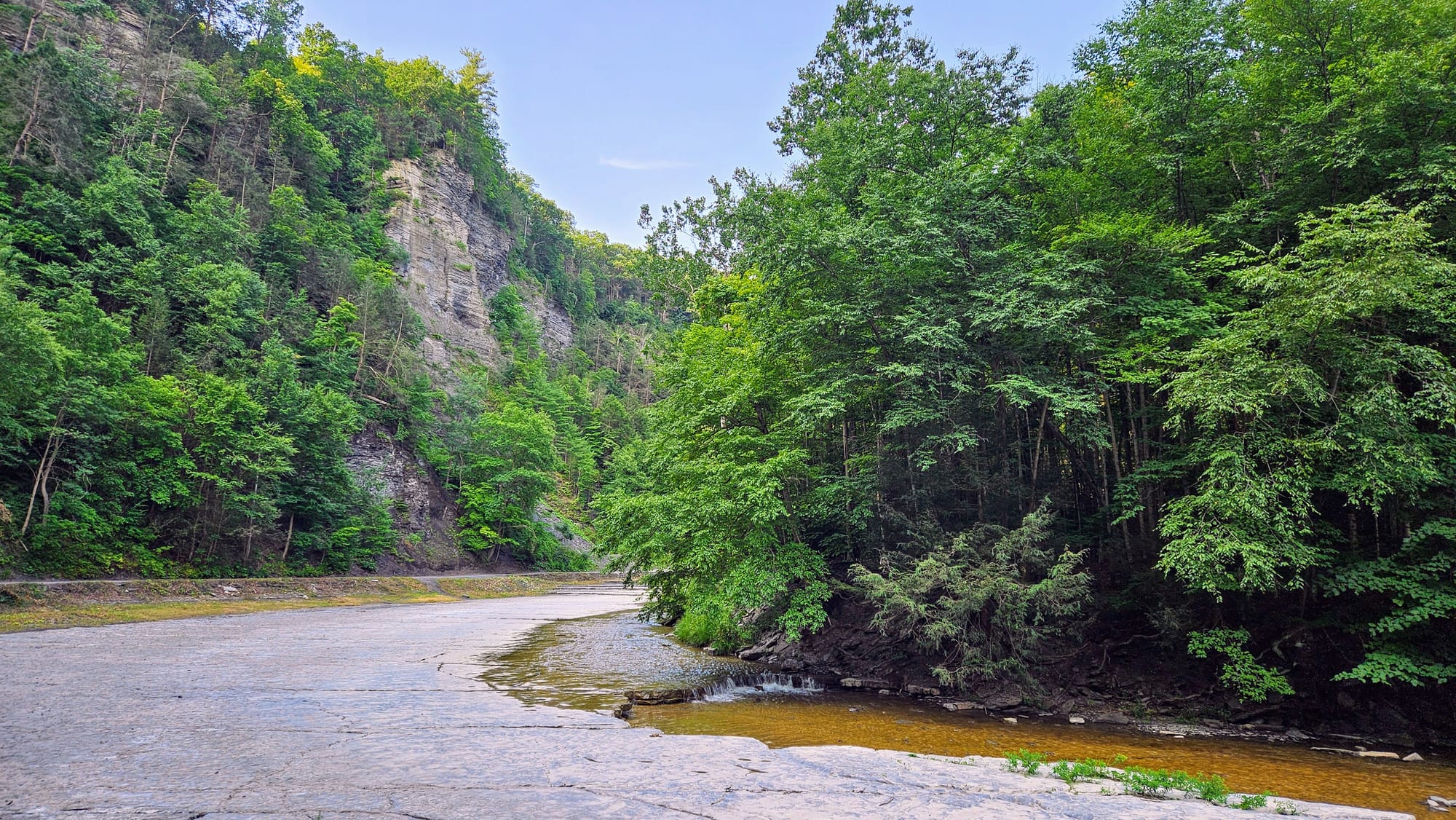
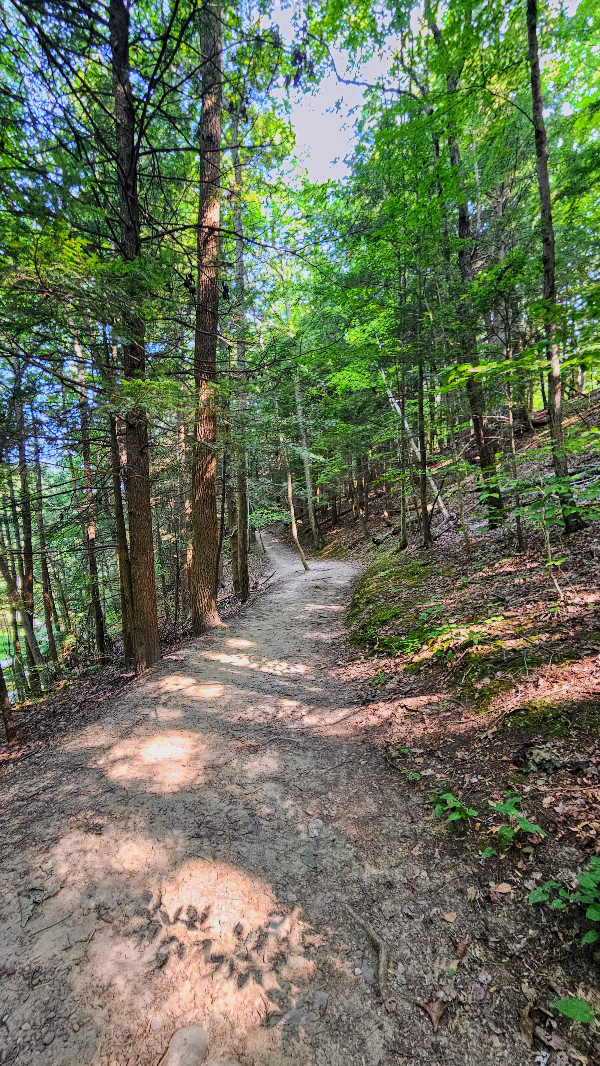
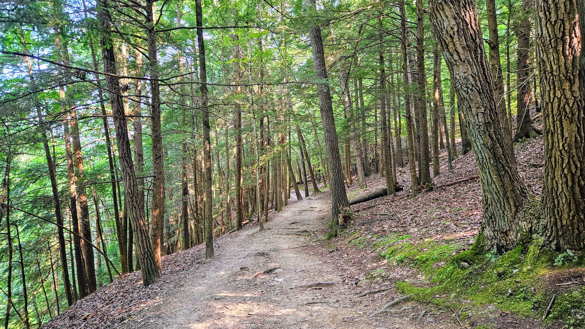
After our loop around the gorge, we continued following the All Trails map and took part of the South Rim trail, which runs high above the gorge on its south side. We couldn't get a lot of views of the gorge except for peeps through the trees, but it was a nice trail: Flat except for some optional offshoots, quiet with the sounds of the distant trickling waters, and shaded from the sun. We got to walk under an active railroad bridge that goes over the gorge, and we got to see where the creek pools at a dam.
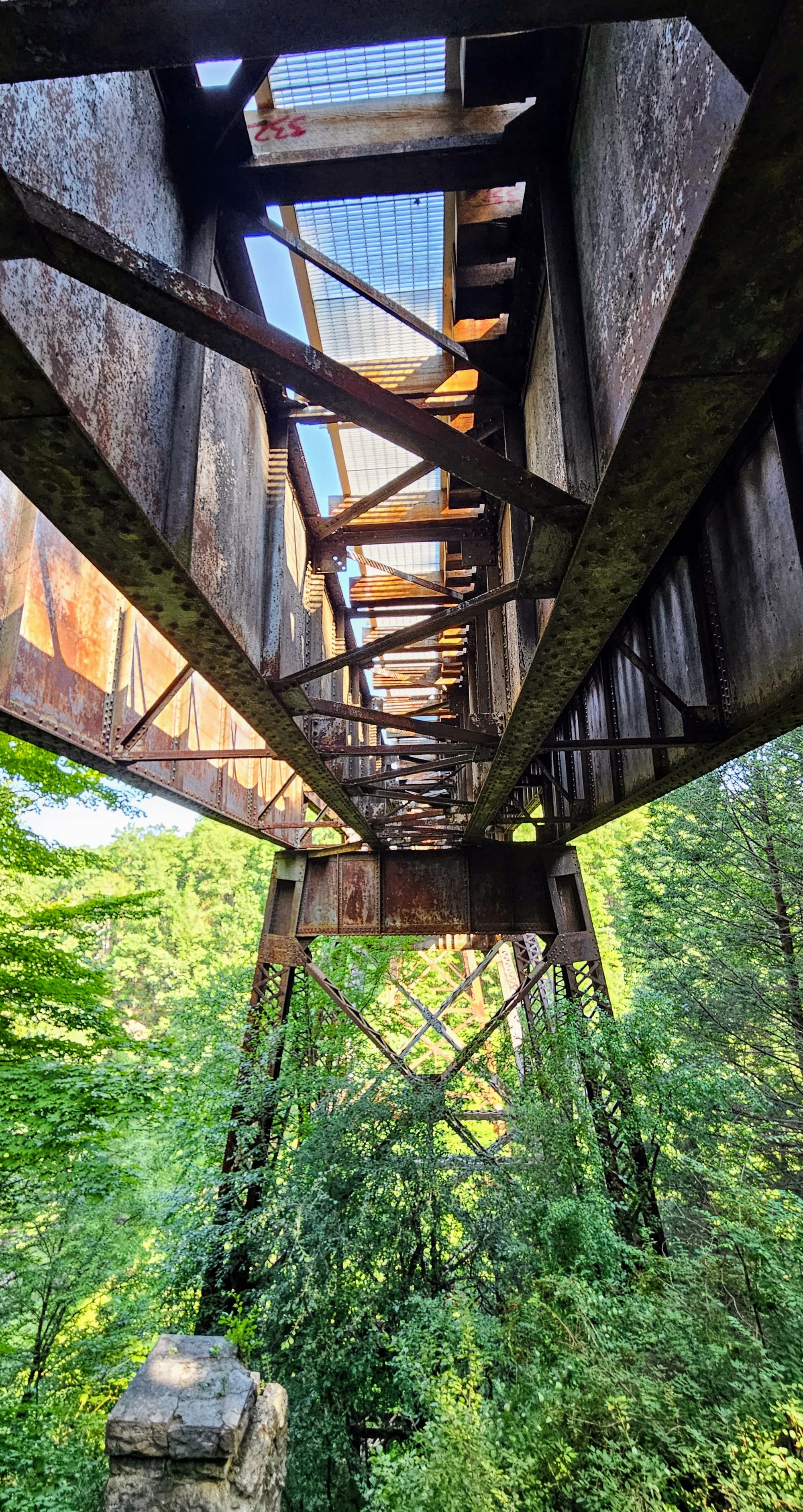
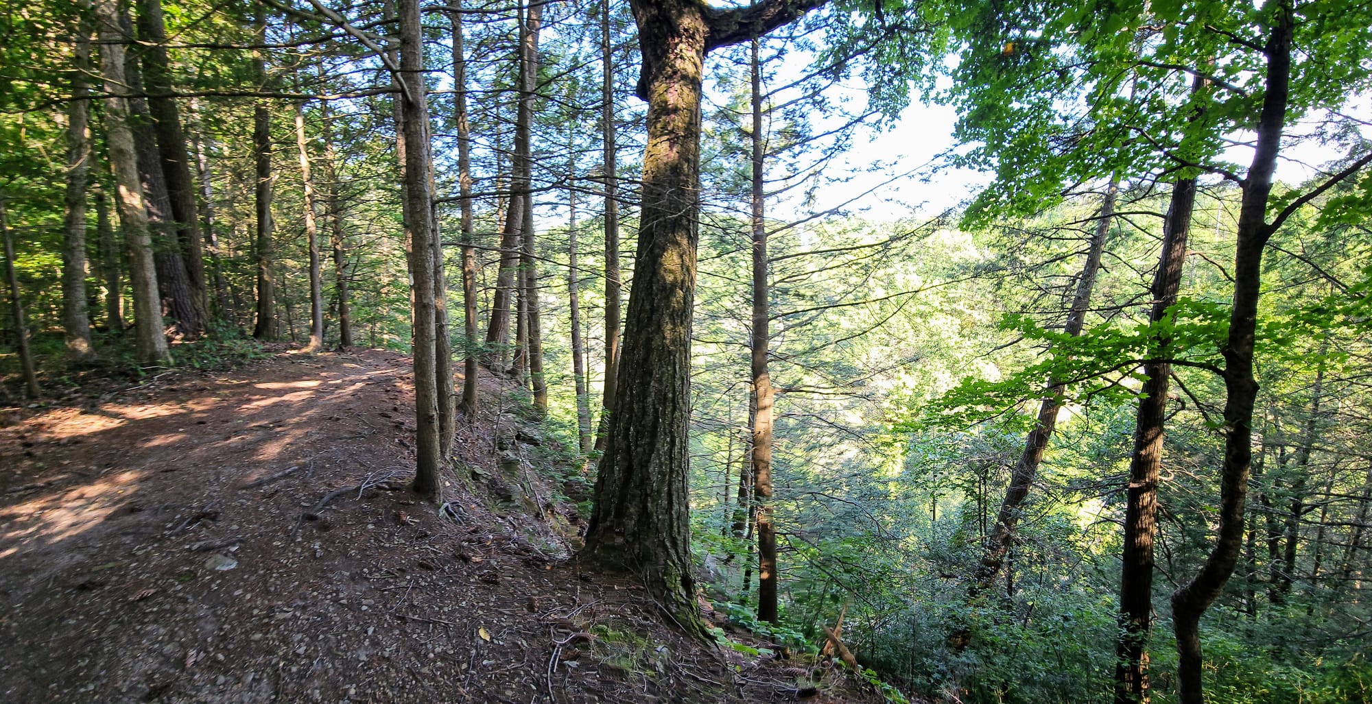
South Rim Trail
We clocked over 5 miles in total and were happy to finally experience the Gorge Trail after two years of waiting patiently. Was it as spectacular as expected? We think so. We did hype it up a lot in our minds, but if we compare it to, say, the Flume Gorge in the White Mountains, this trail wins hands down. We definitely think going at an off-time makes all the difference, because the vibe would be a lot less zen if the trail was wall-to-wall people (as many All Trails reviewers describe it). When it's less crowded, it's so peaceful and majestic. Plus, we got to hike in the cooler morning temperatures, which is always helpful in the middle of July.
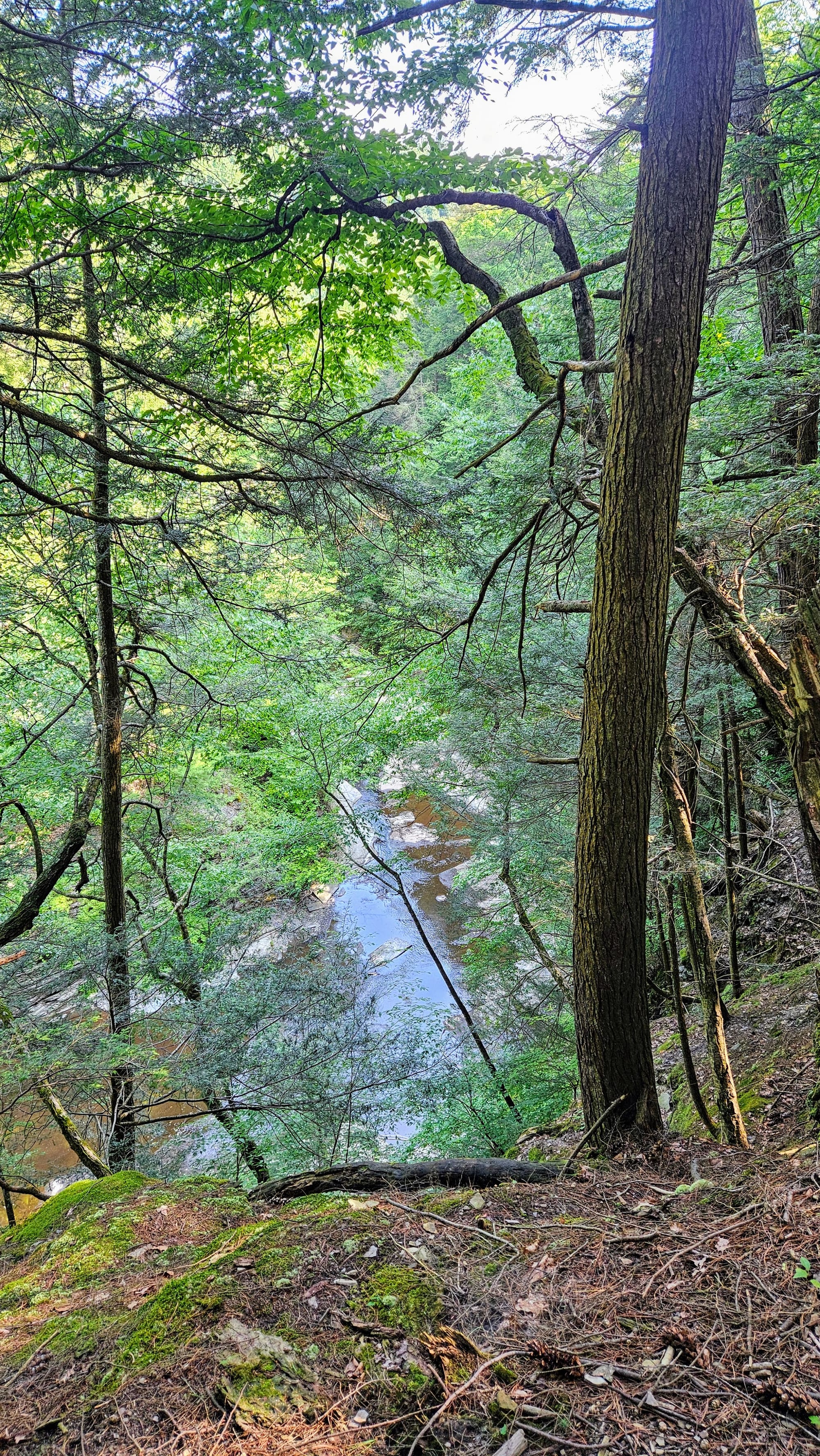
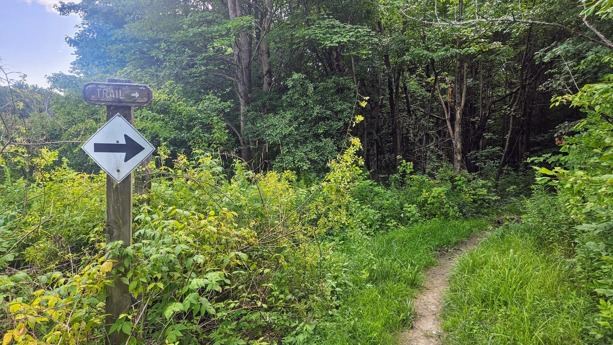
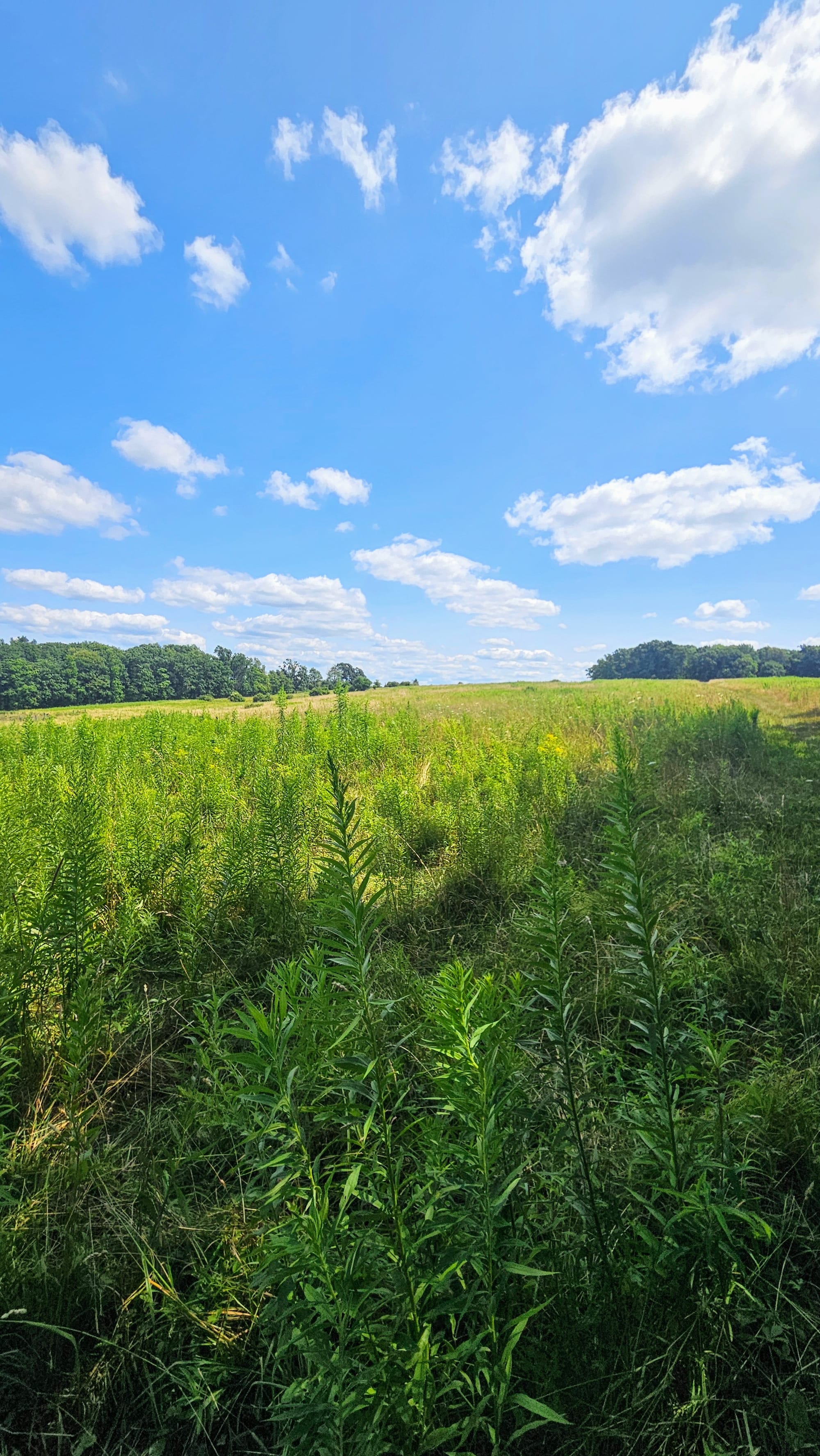
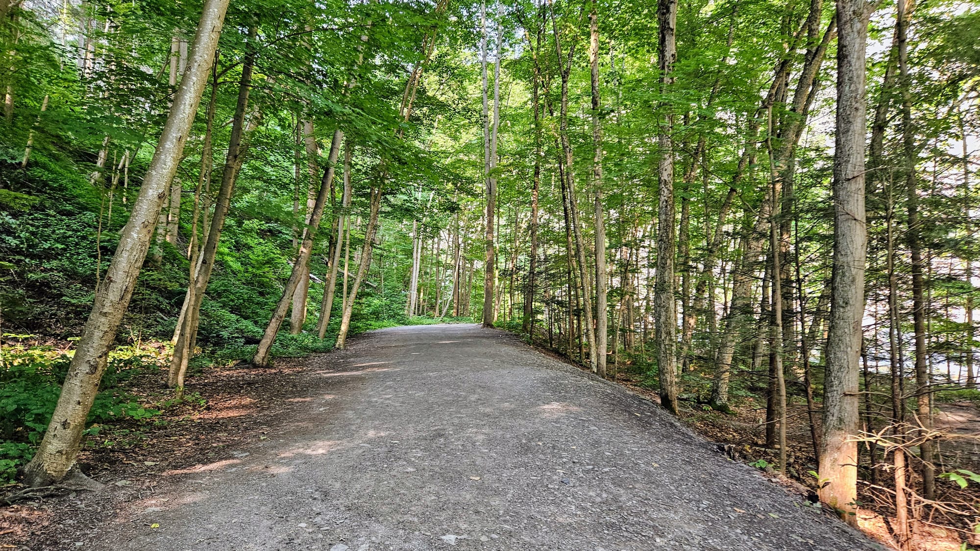
When we booked our campsite, we didn't know that we'd have access to a hiking trail, let alone a whole network of hiking trails! At least that's what they called it on the map.
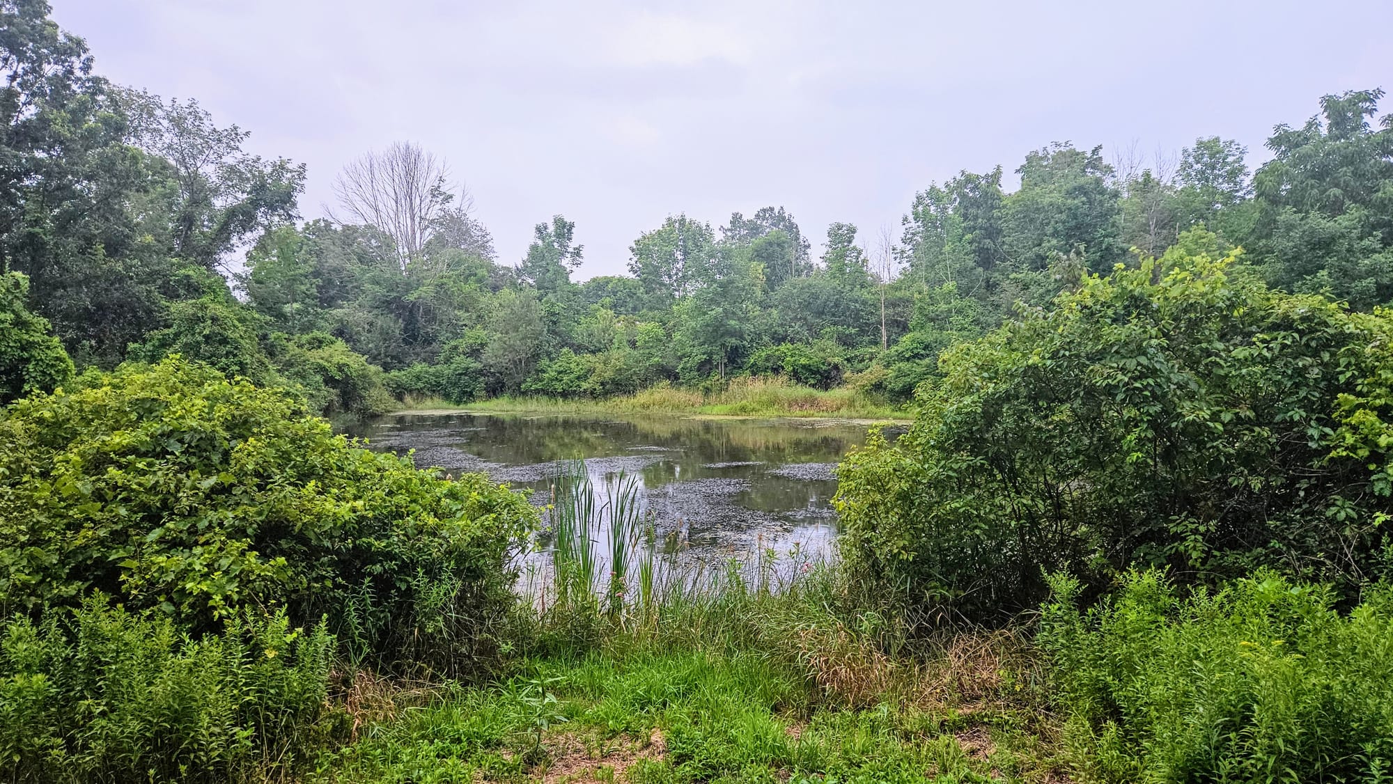
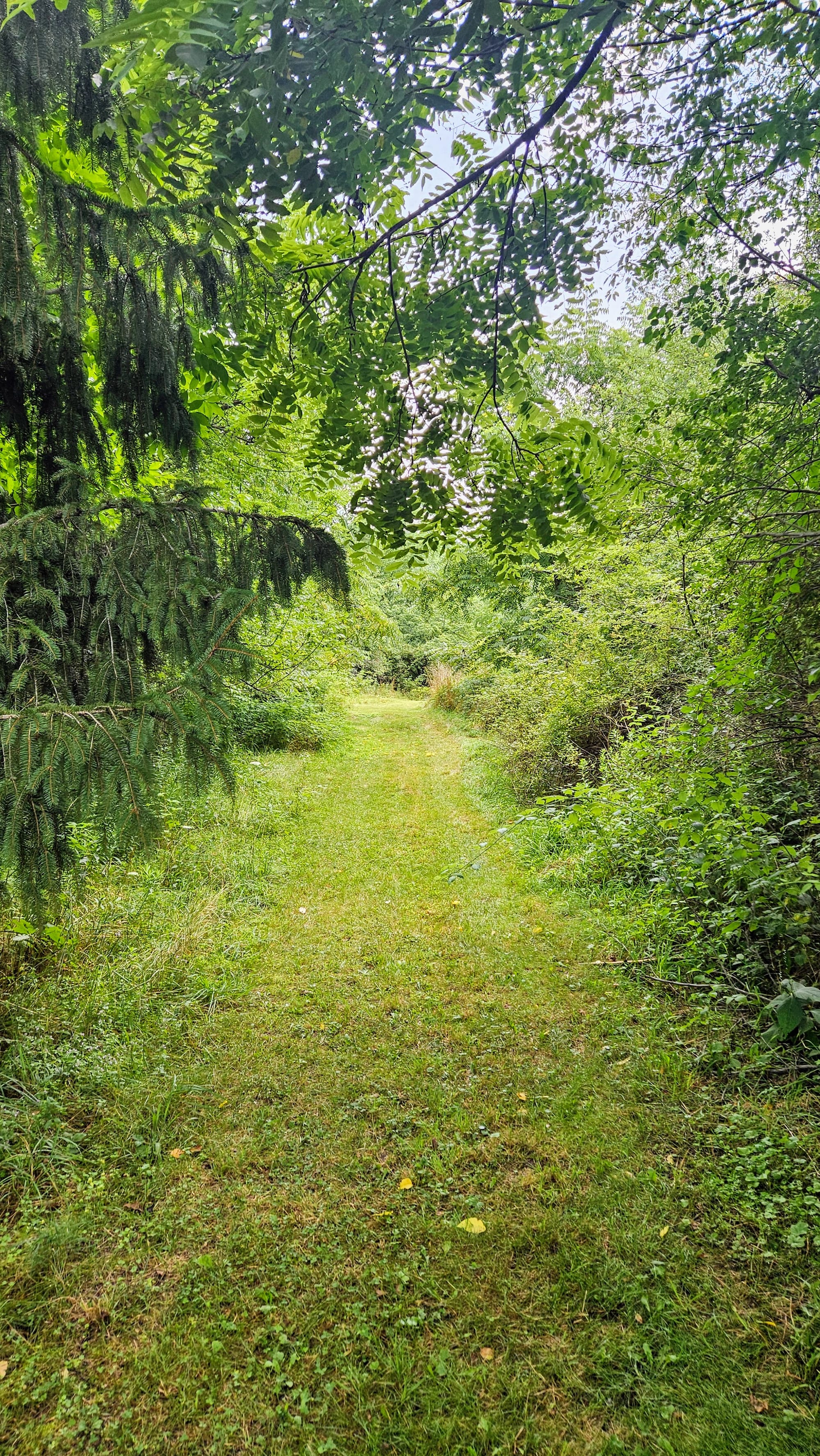
We expected to find a few trails that perhaps made a loop through some woods and then came out near the Iroquois Lodge, but when we first ventured back there, we found a whole maze of trails so intricate that we got lost!
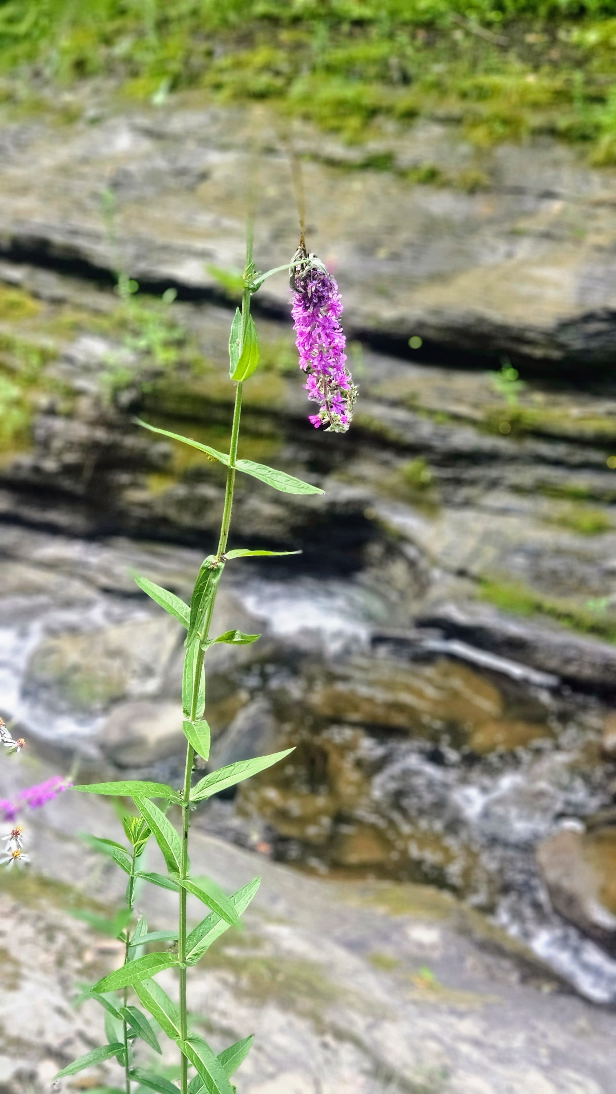
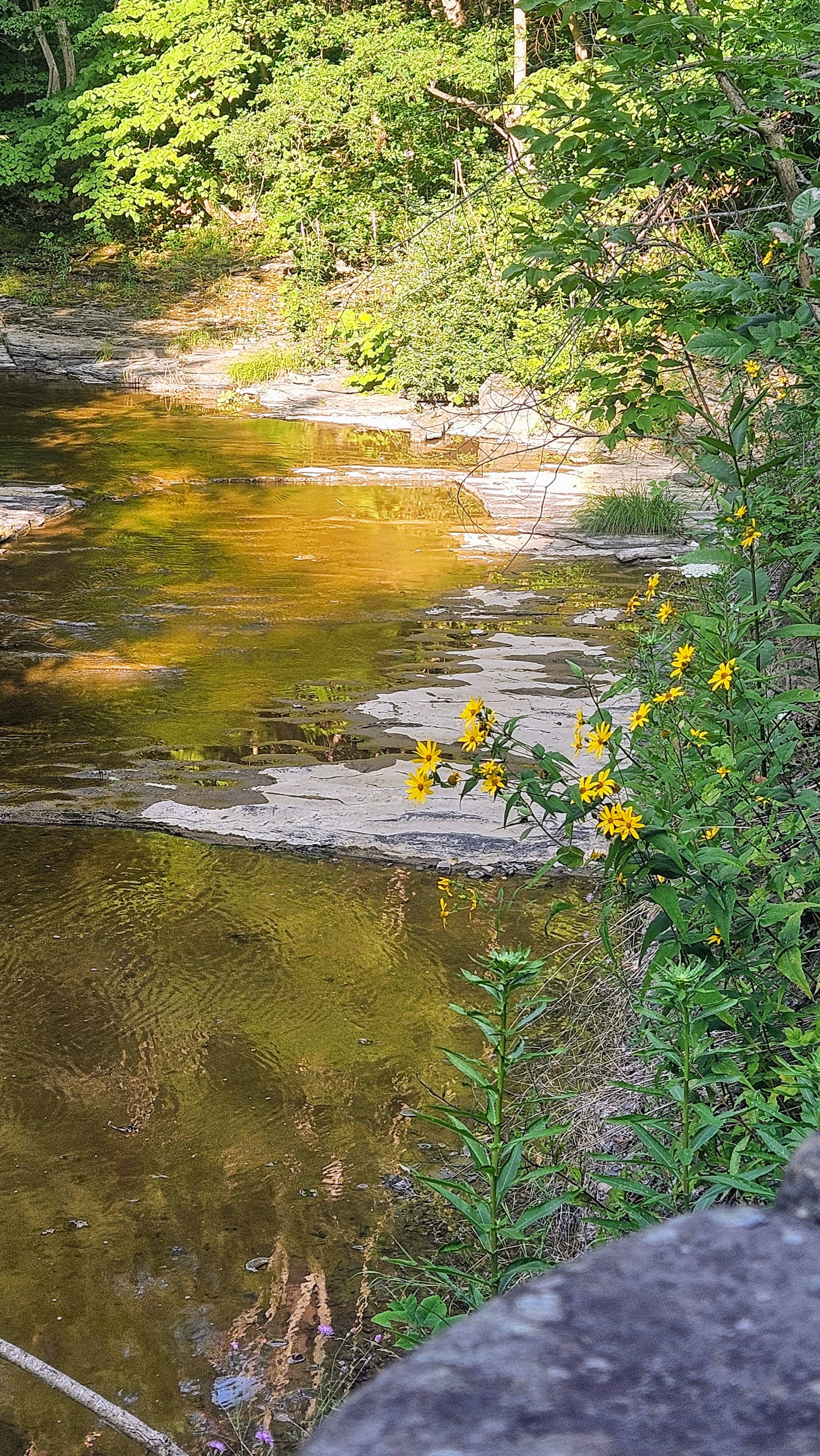
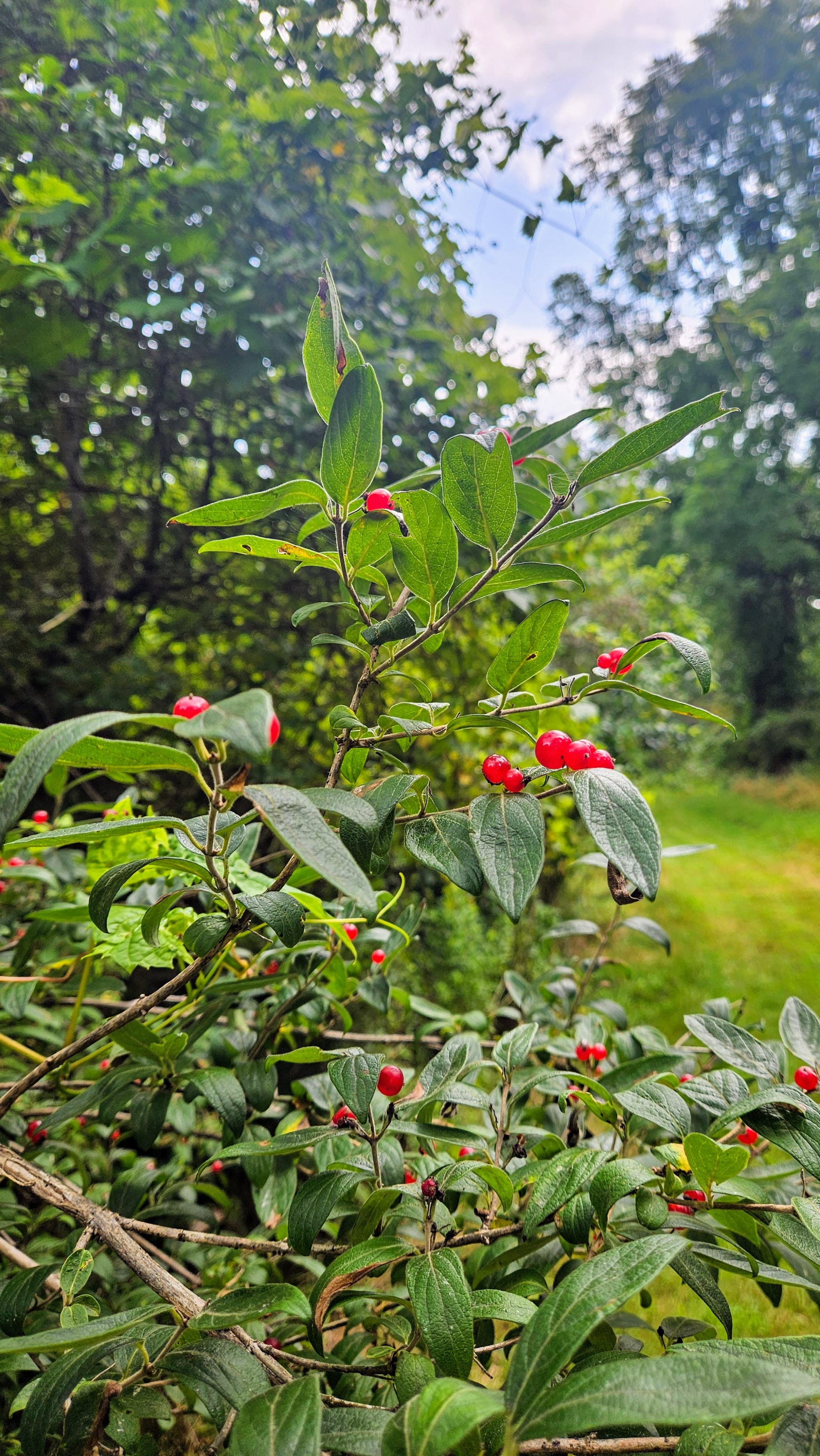
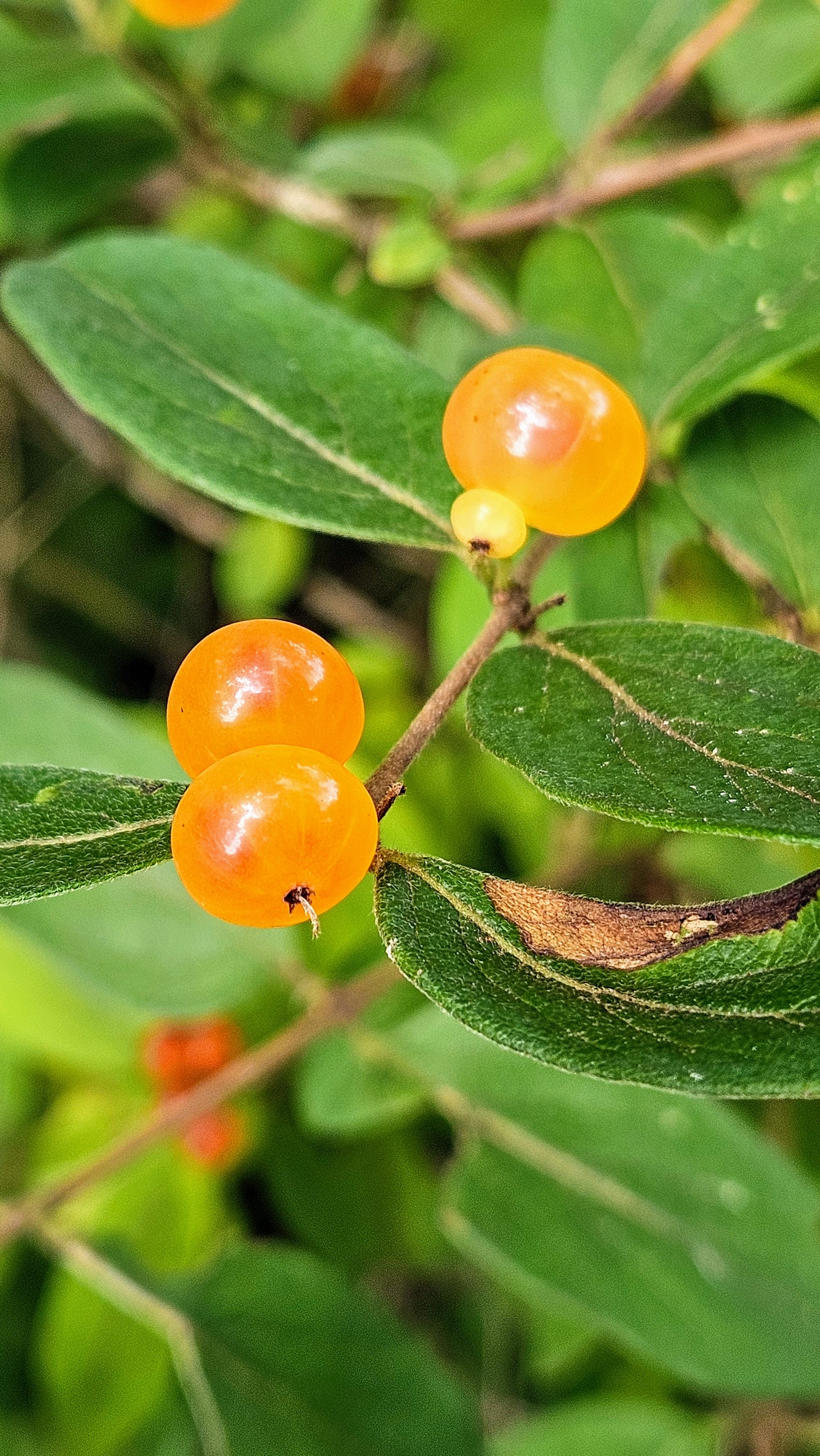
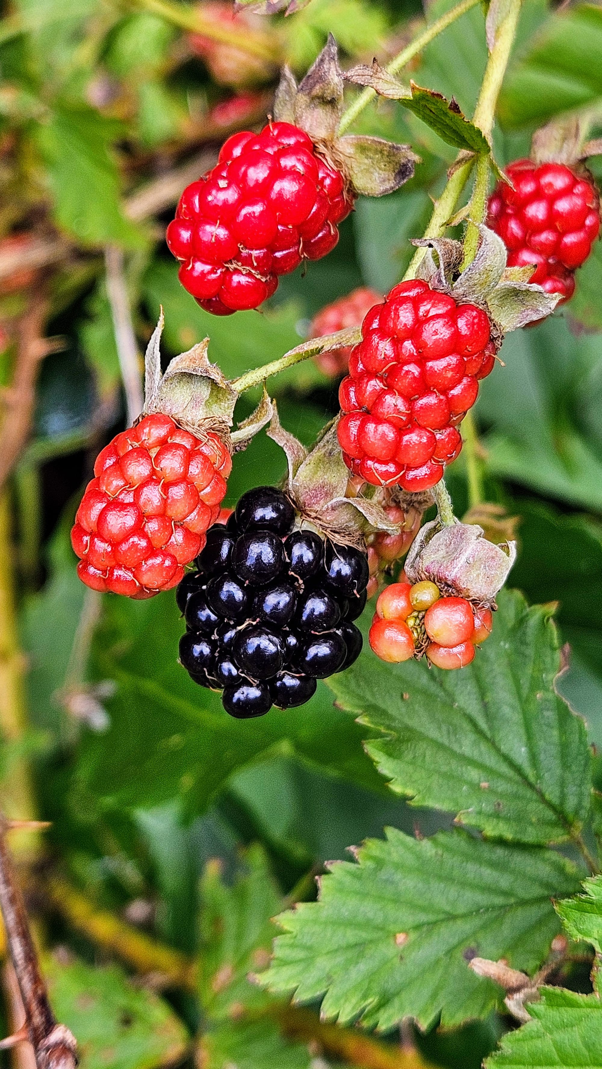
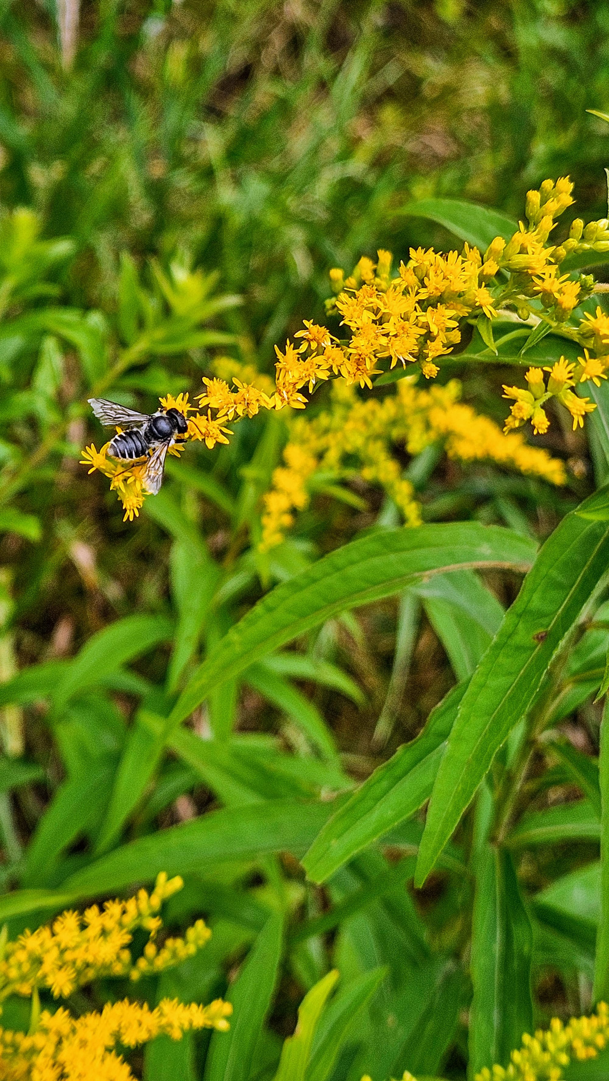
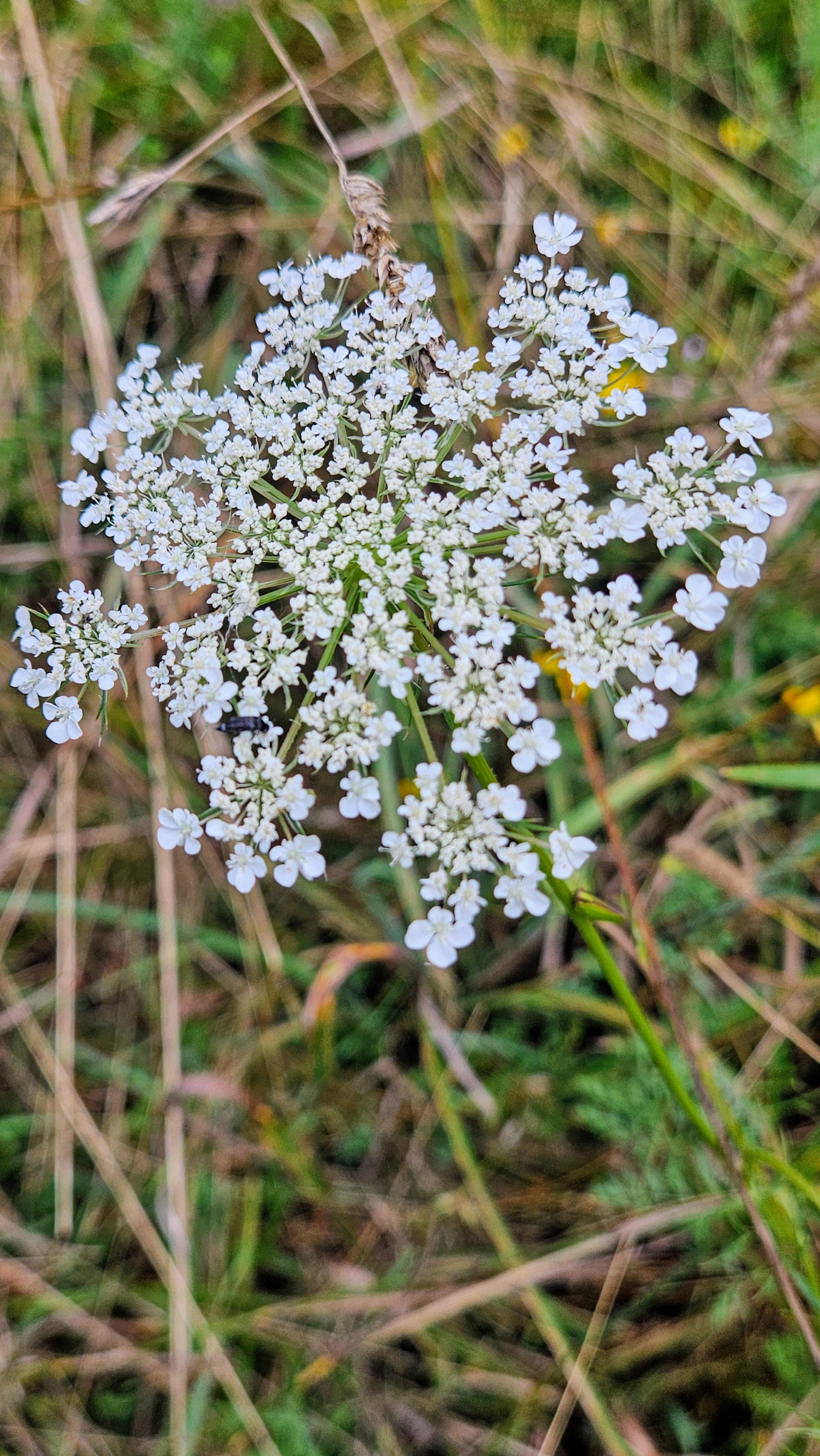
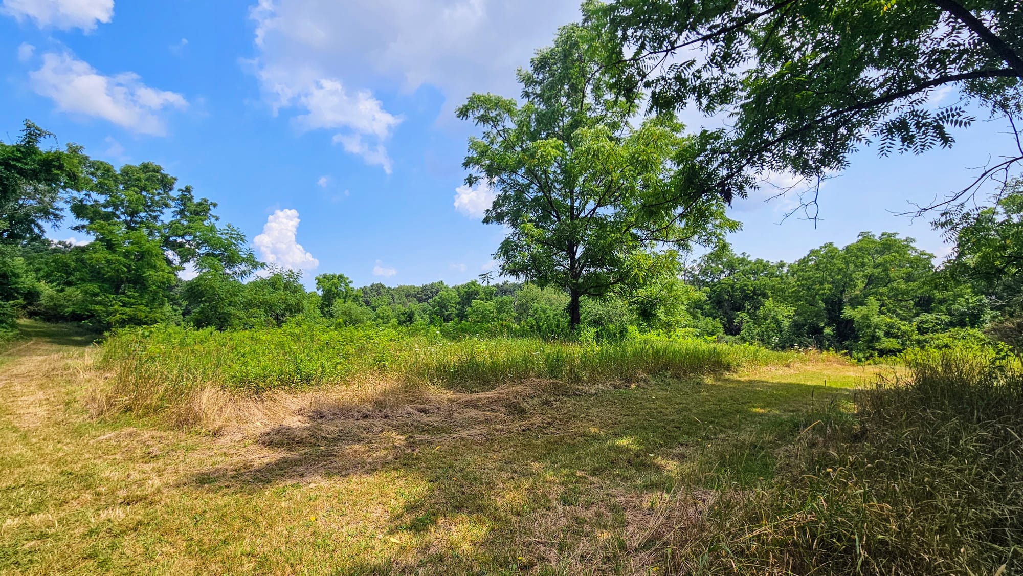
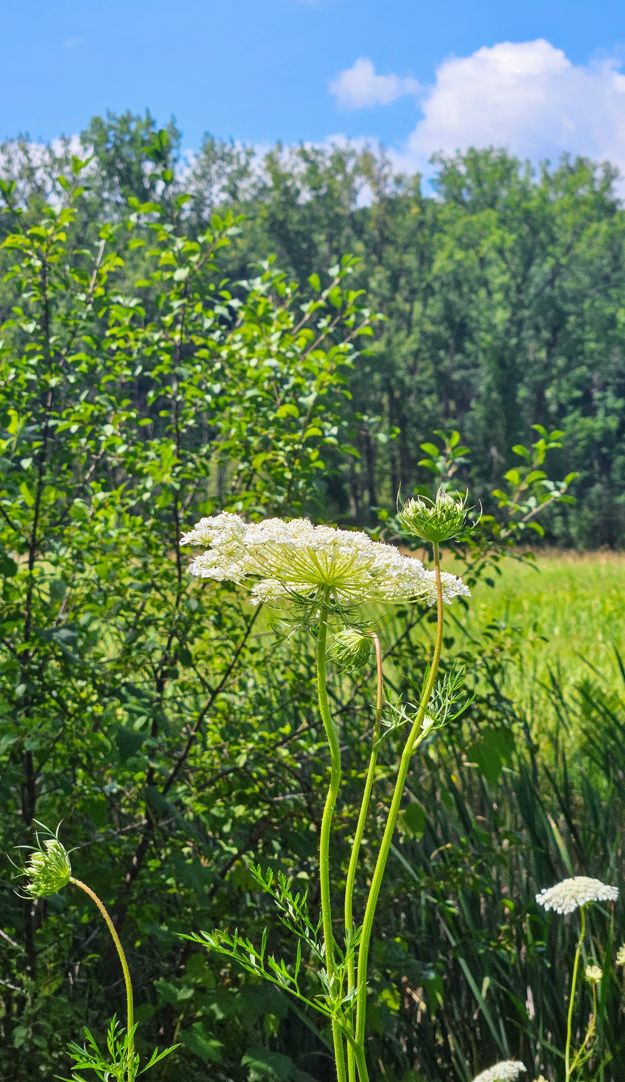
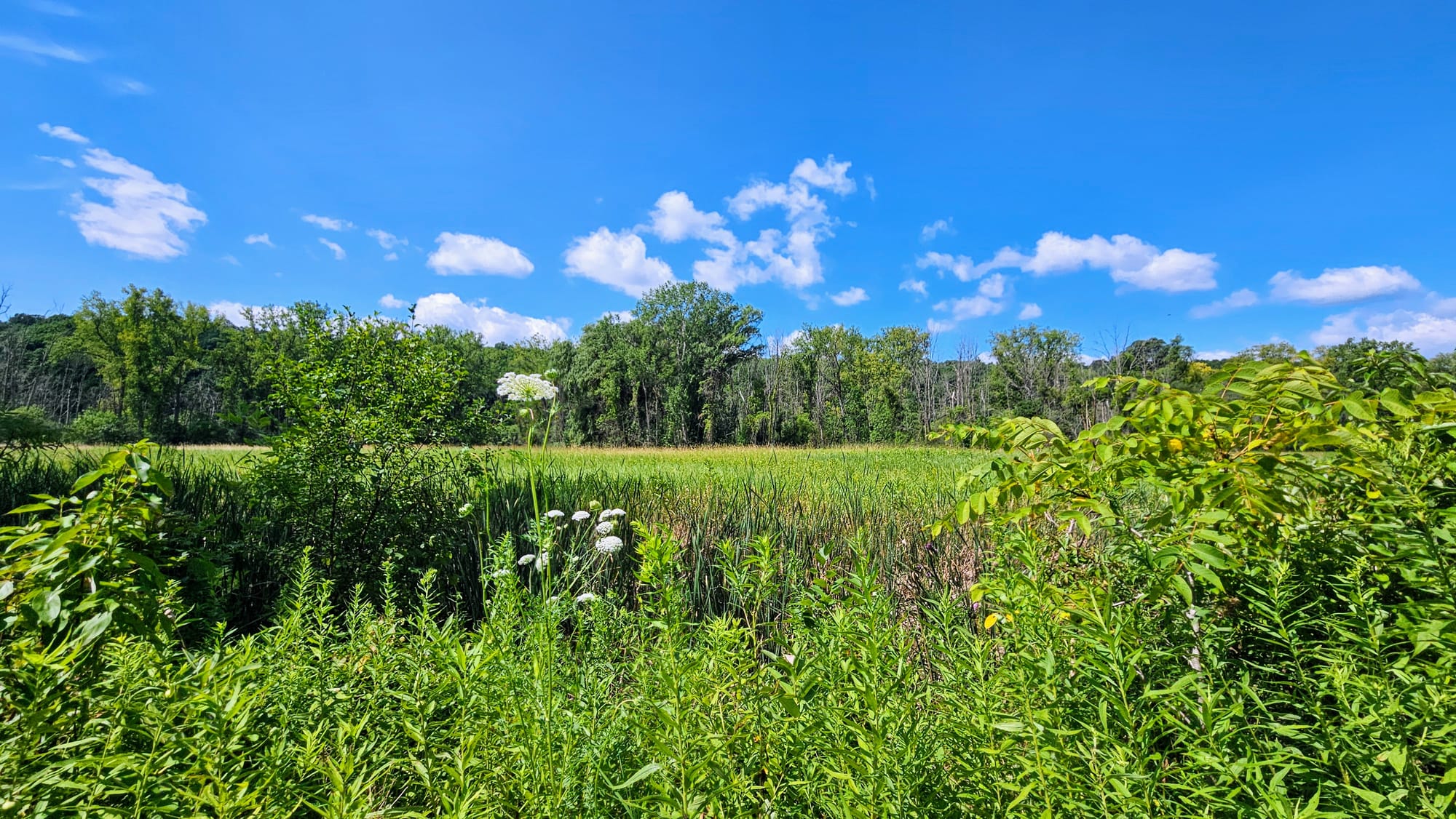
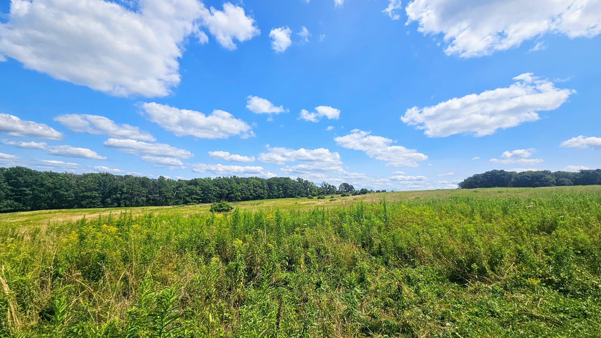
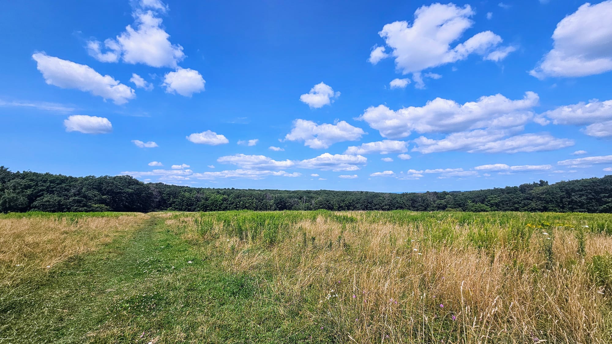
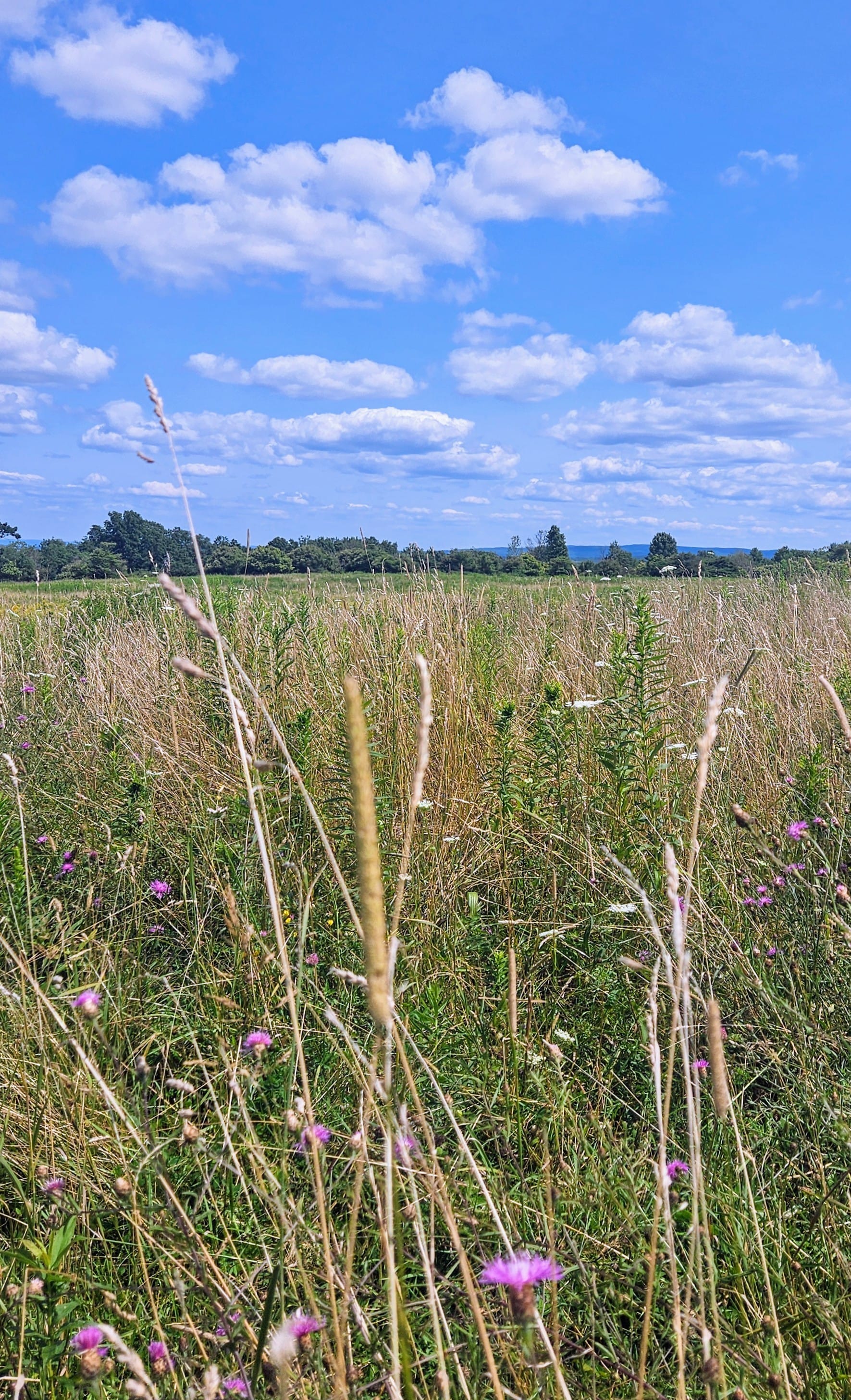
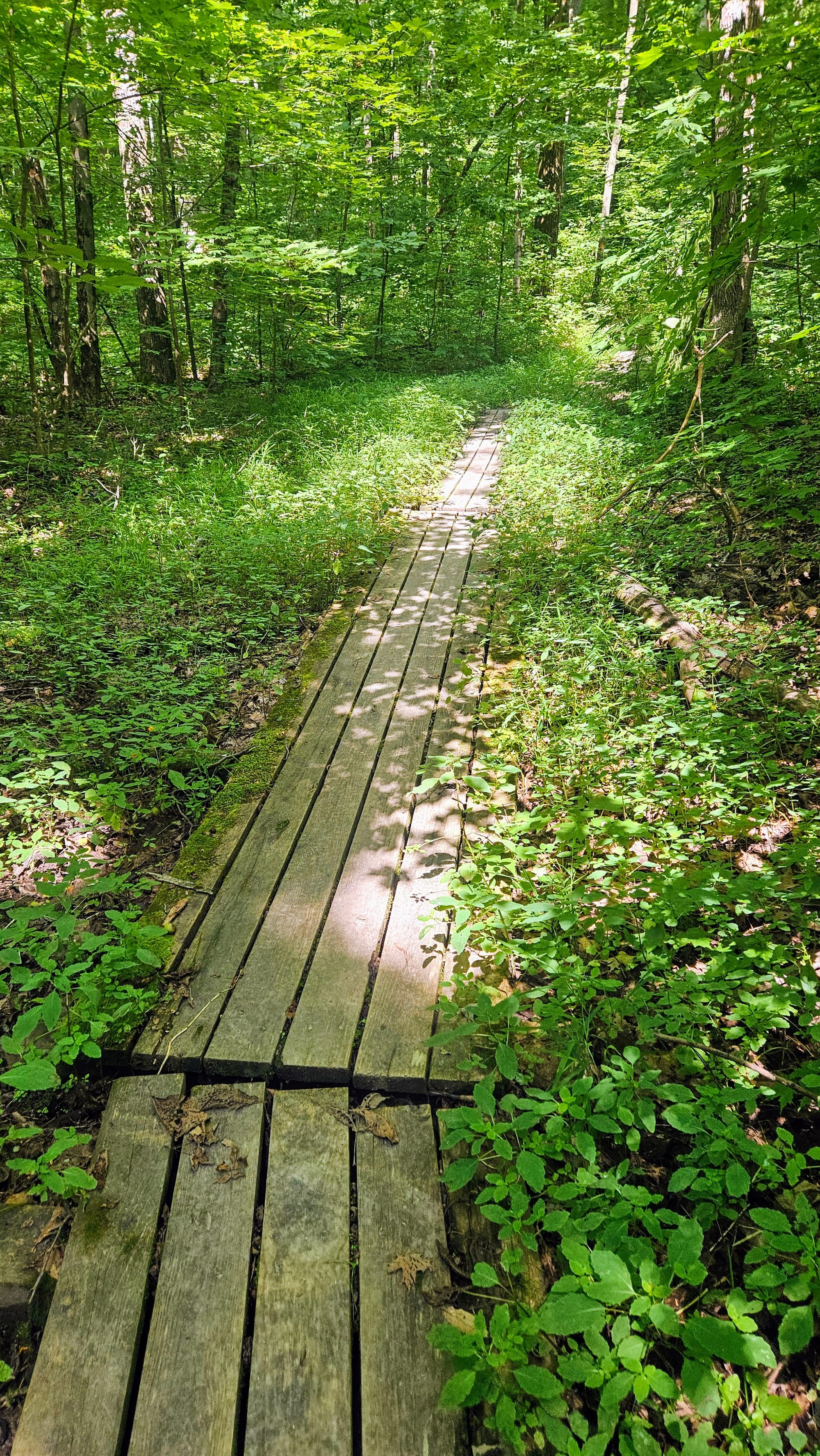
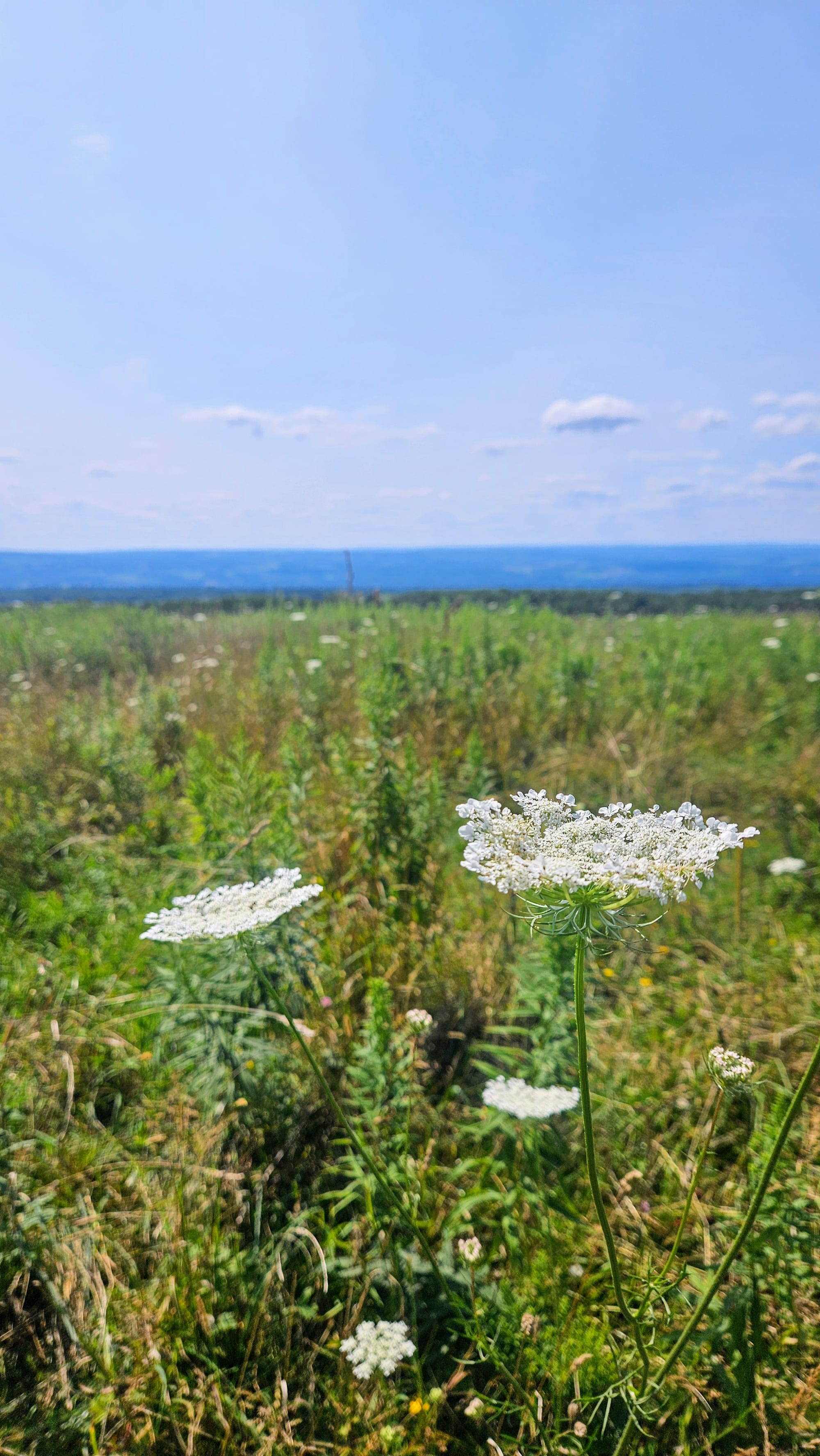
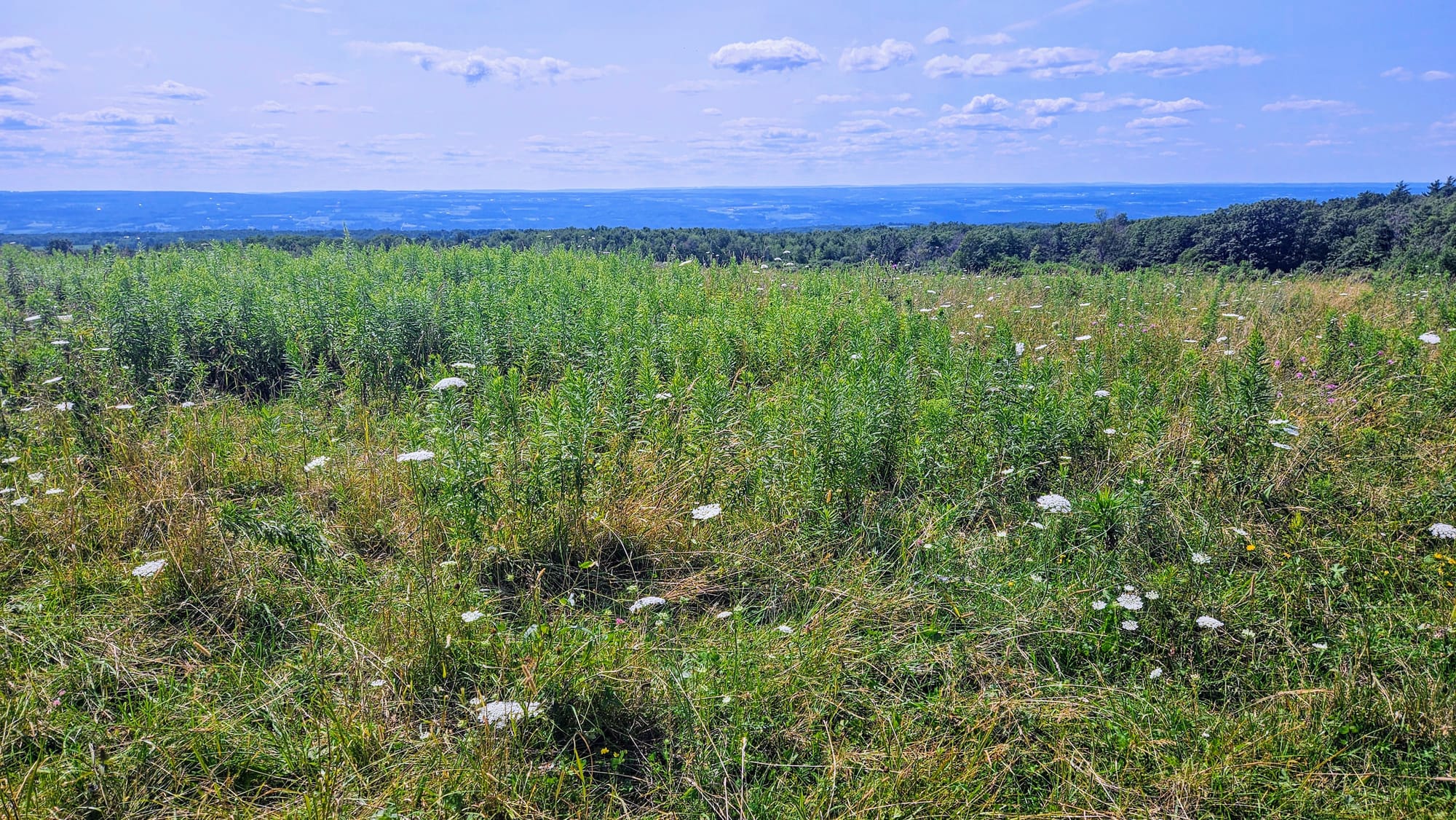
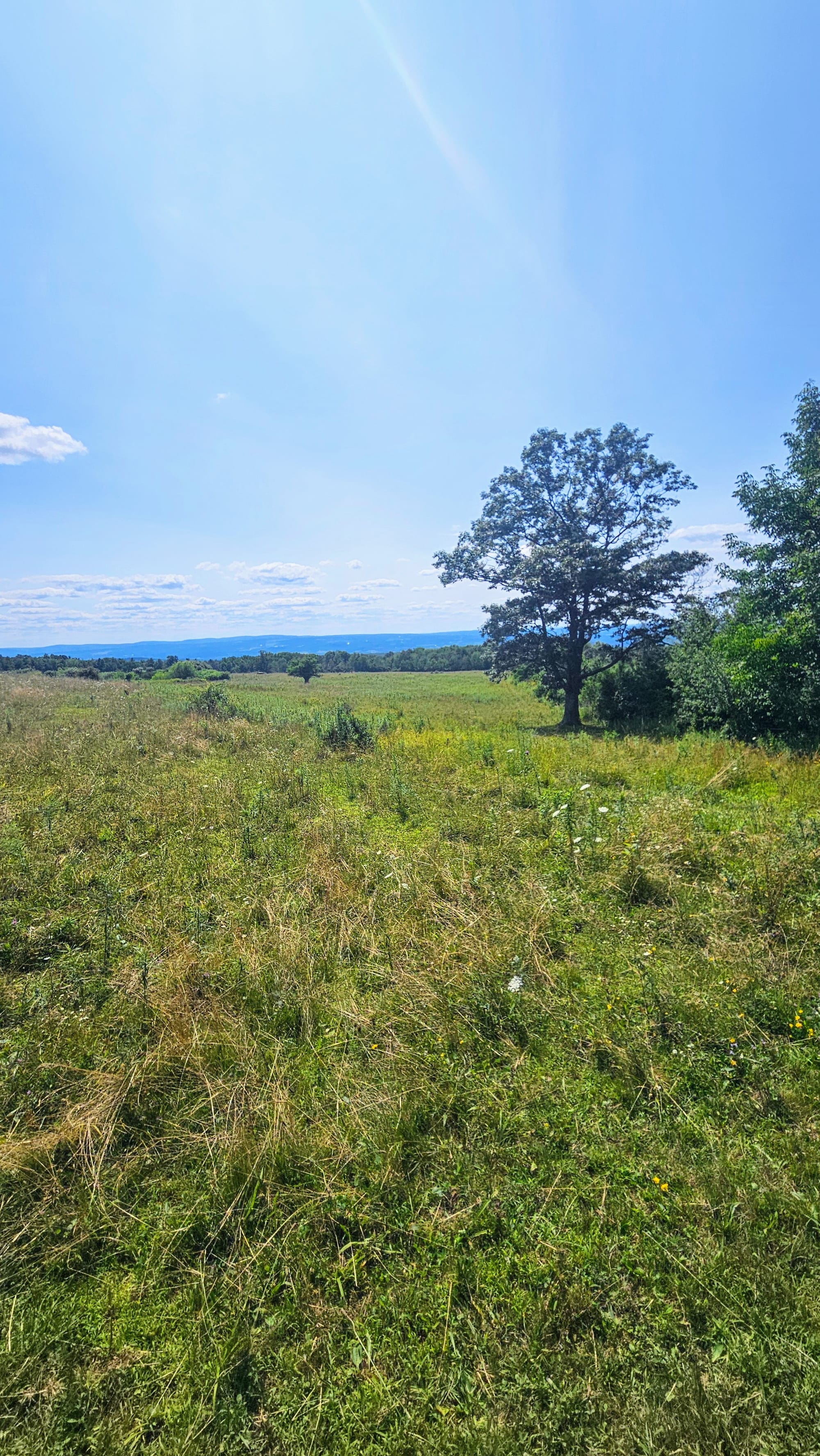
The trails were mostly mowed paths through fields, not unlike some other trails we've experienced in Upstate NY. Not much to see except a small pond, and this time of year, a whole bunch of flowers and berries. Because of the little tree cover, these trails got really hot and muggy, but we used them as our "active recovery" hikes, getting an extra mile or two in between our bigger hikes.
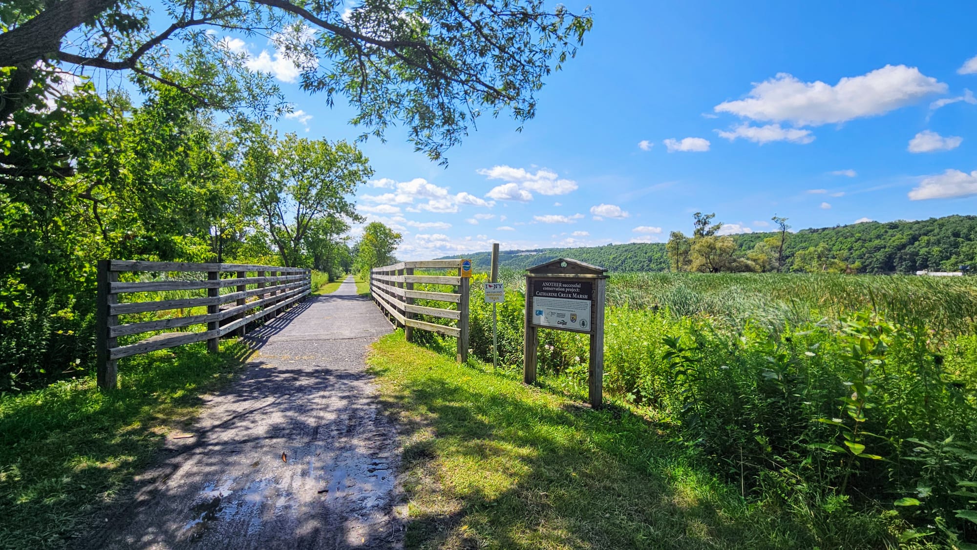
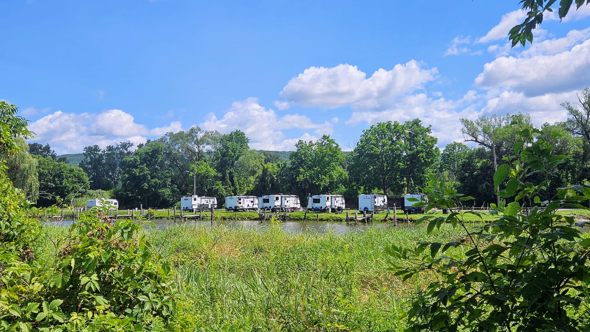
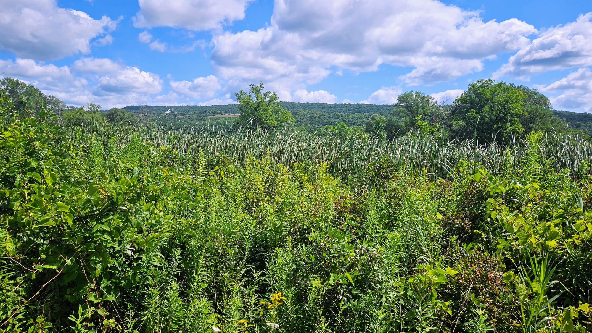
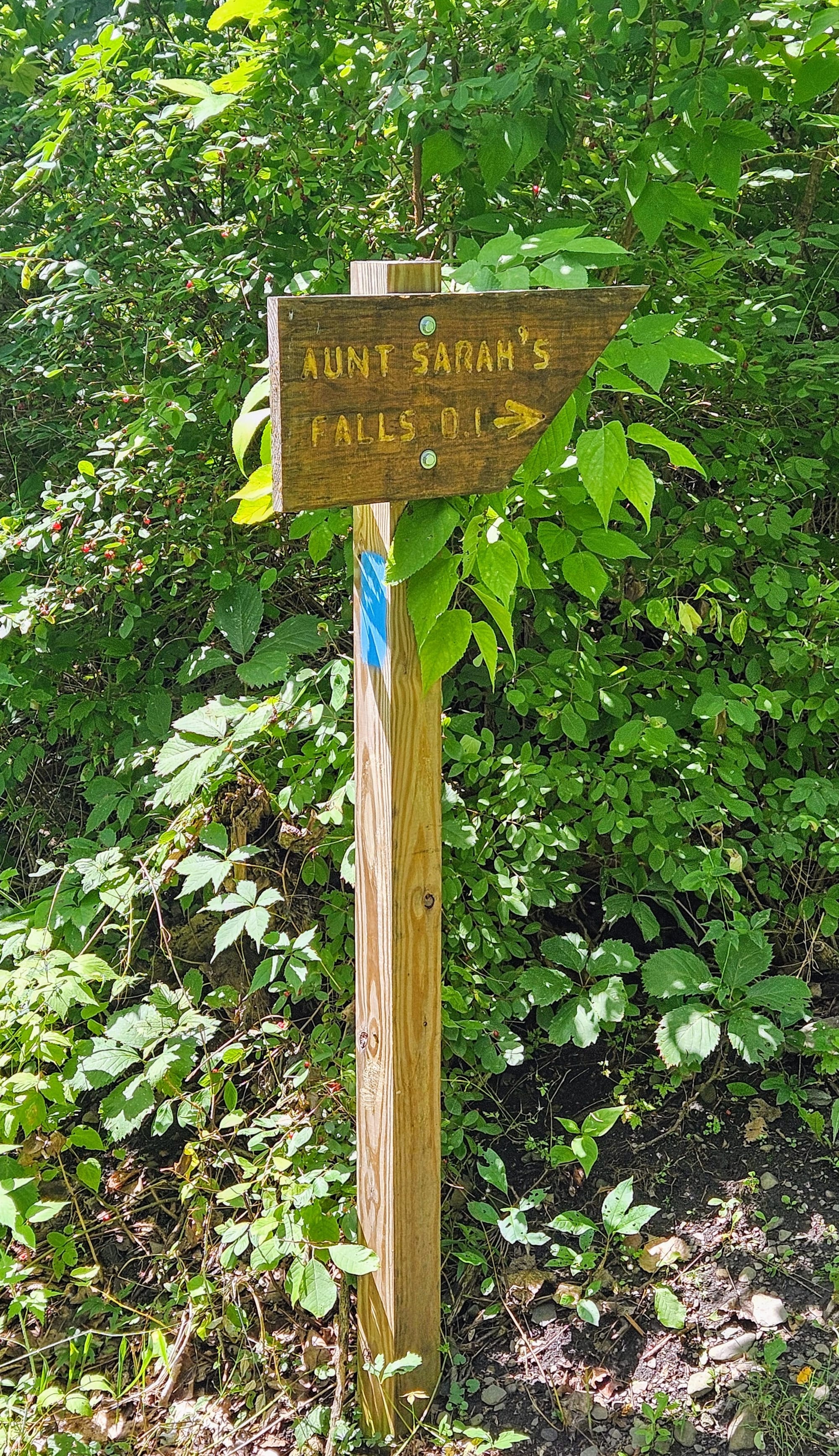
The weather was touch-and-go for a few days, but come midweek, the humidity decreased, the rain went away, and we had highs in the 70s. We were itching to explore beyond the state park. We started with the Catherine Valley Trail, which runs through a nature preserve and goes through several nearby towns. We chose to hike from Watkins Glen High School until a road crossing at Route 14 in Montour Falls, the next town over. Near the end of that section is a spur that leads to a waterfall. Besides the plants and birds of the preserve, at times we could see the canal that runs parallel to the trail. We also noticed that lots of RV campgrounds are situated along the canal. Not the most scenic trail and it was flat the whole way. We would have considered ebiking it instead, except we wanted to take the Aunt Sarah's Falls spur, which was not bike-friendly.

Aunt Sarah's Falls is visible from Route 14, and there is a small parking area. However, coming from the Catherine Valley Trail, we came out on the wrong side of the road. It's a busy road to cross so we wouldn't recommend it, but we did risk it for some pics.
The Finger Lakes Region has some incredible waterfalls, and after finishing our hike, we drove to a couple more. Deckertown Falls is a short but steep trail with views of three waterfalls. Unfortunately, the climb didn't pay off for us because the falls views were not great. The trail took us up the side of Catlin Mill Creek from high above its banks, and there was a lot of erosion. If we wanted to get a better view of the falls, we would need to go very close to the edge and lean over, and since we don't have a death wish, we opted out. Because of the erosion, lots of fallen trees obstructed the trail and our view. We'd recommend skipping this one because this area has so many more waterfalls that are more easily accessible.
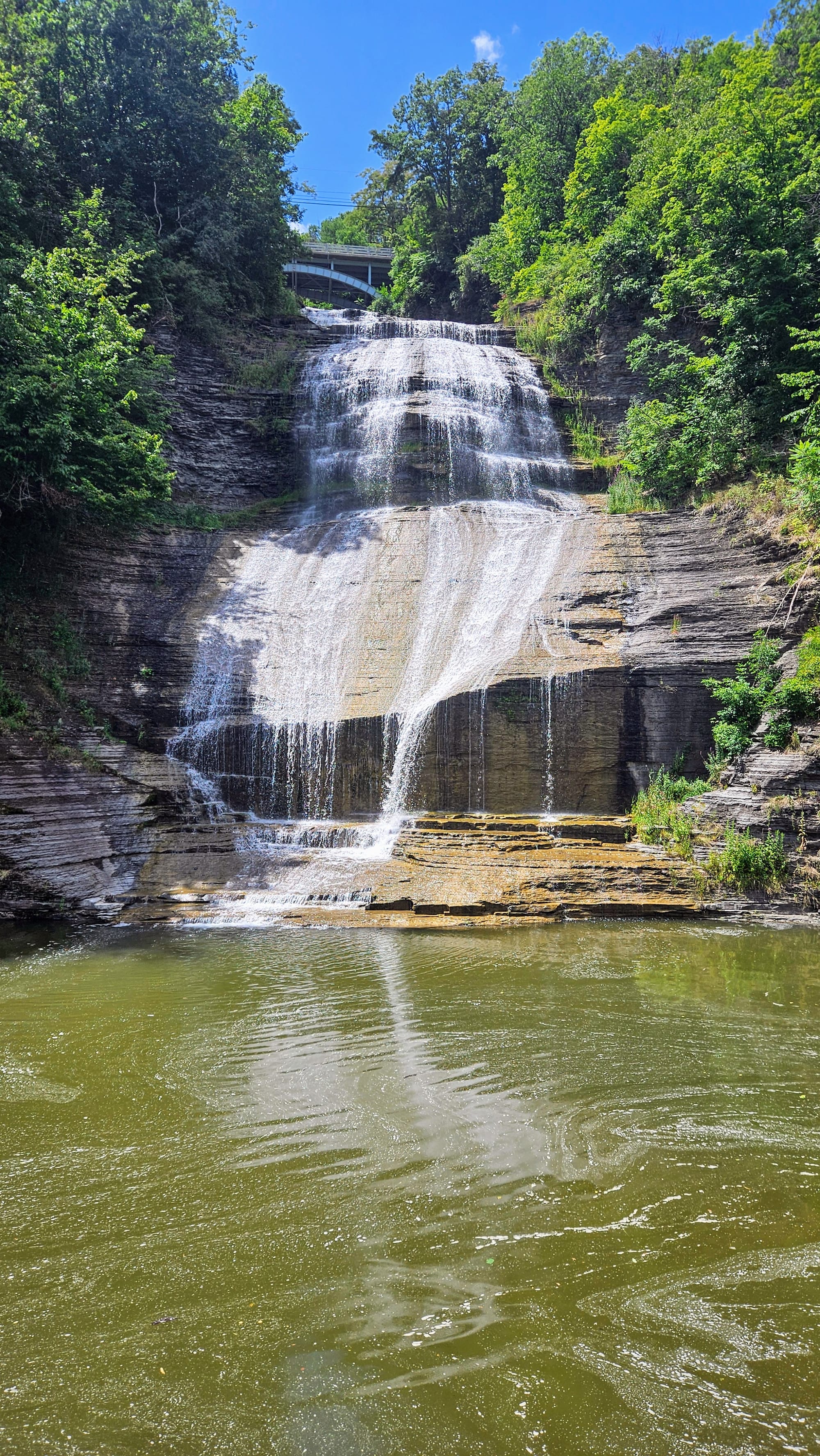
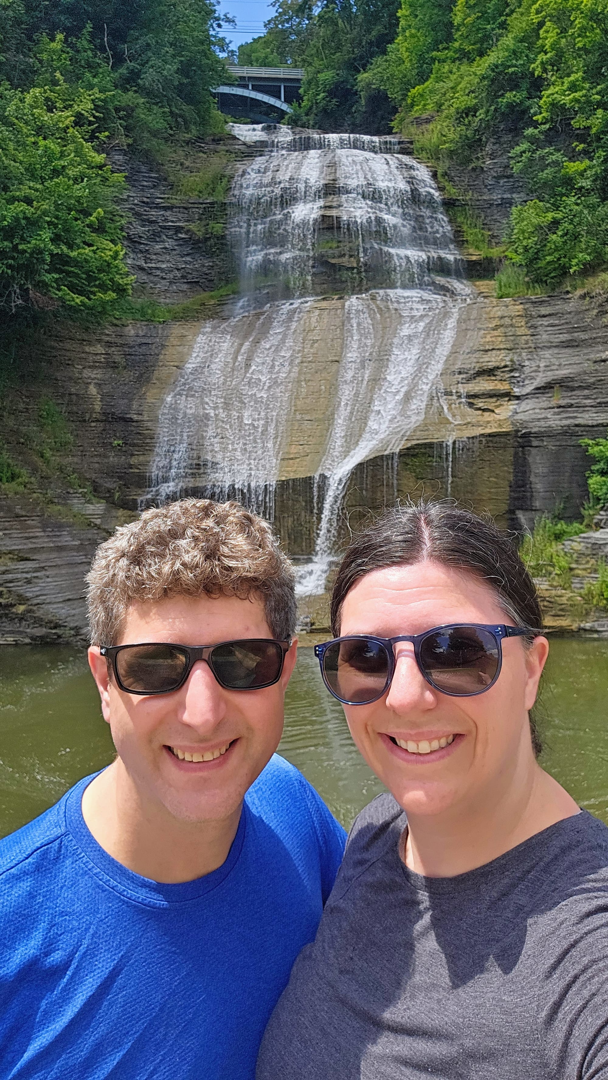
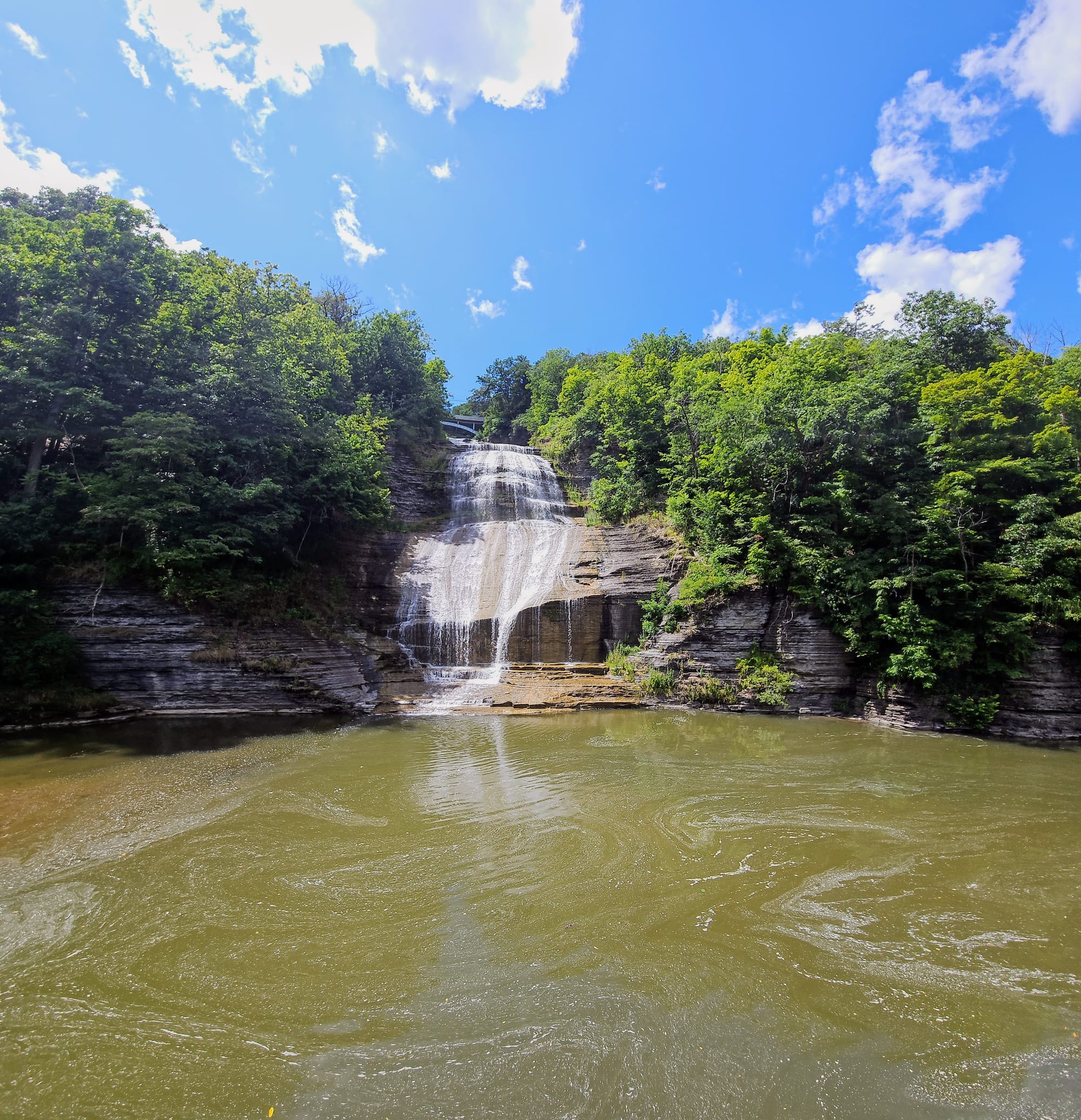
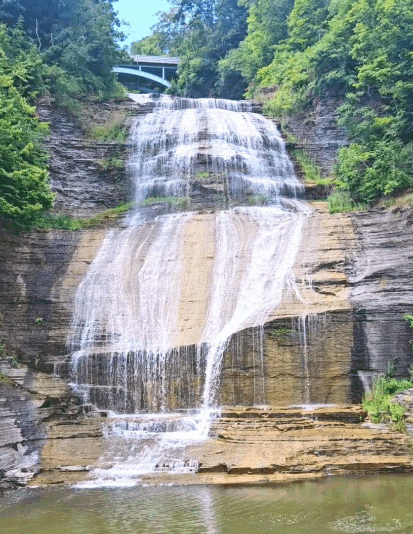
The most accessible waterfall we viewed this day was also the most exquisite: Shequaga Falls in downtown Montour Falls. Not so much a hike as a short walk across a lawn, this waterfall can be seen from the road, but is spectacular up close. We noticed an overpass that goes over the falls. This is the Mill Street Bridge, where Mills Street in Watkins Glen meets Montour Street in Montour Falls. We don't know if there is a view from up there, but driving over this huge waterfall is probably pretty cool in its own right. However, we stuck to the lower viewpoint. The falls is 156ft high and was easily our favorite of the day.
The next day, we ventured a little further, up to Finger Lakes National Forest. We had a nice drive through the parts of Watkins Glen we hadn't seen yet. Driving along Seneca Lake was beautiful! We've already made a note to spend some time in Clute Park next time we're in the area, because this is where the action was. The park has a beach, splashpad, skatepark, volleyball, an ice cream stand, and even an RV campground across the street! We also noticed a state-of-the-art building and wondered what it was, and upon looking at the map discovered that it's an ice skating rink. When we see how well other places do waterfront recreation, we always talk about how Massachusetts needs to up its game.
Heading further north into the village of Burdett, we rode on the scenic byway briefly and passed by several vineyards. Similar to the Leelanau Peninsula in Michigan, the hills between two freshwater sources tend to make good soil for the grapes.
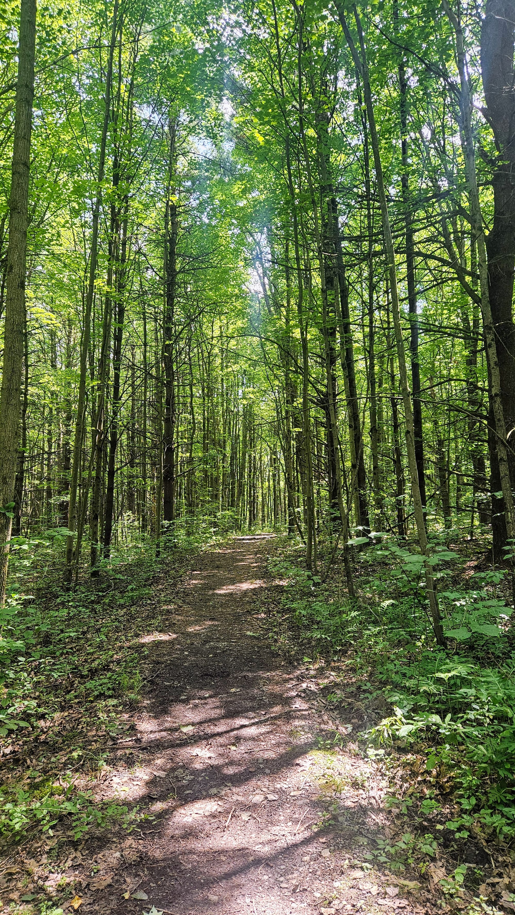
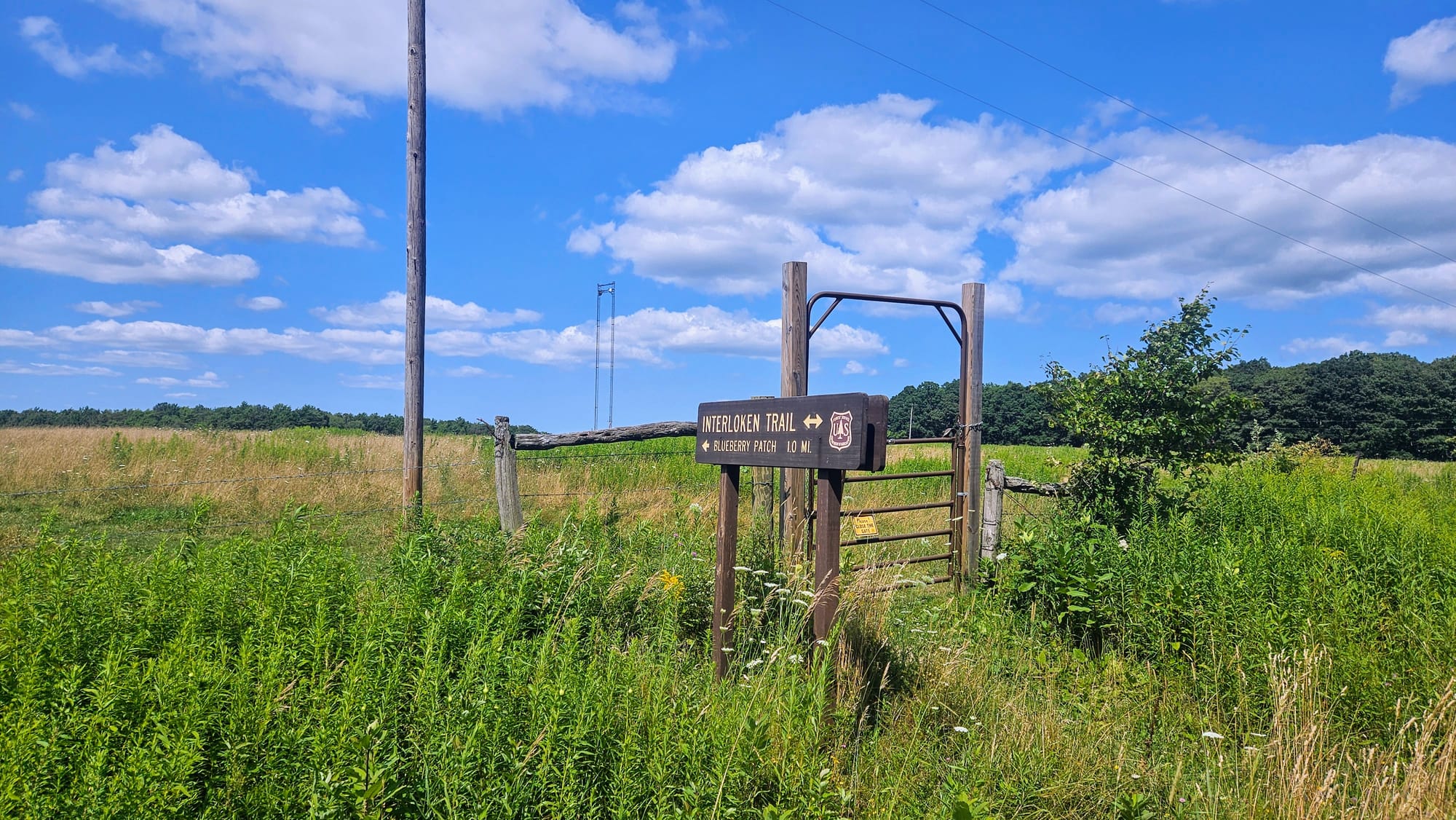
We chose to hike Burnt Hill and Interlaken Trail in the national forest, to create a loop of about 3.8 miles.
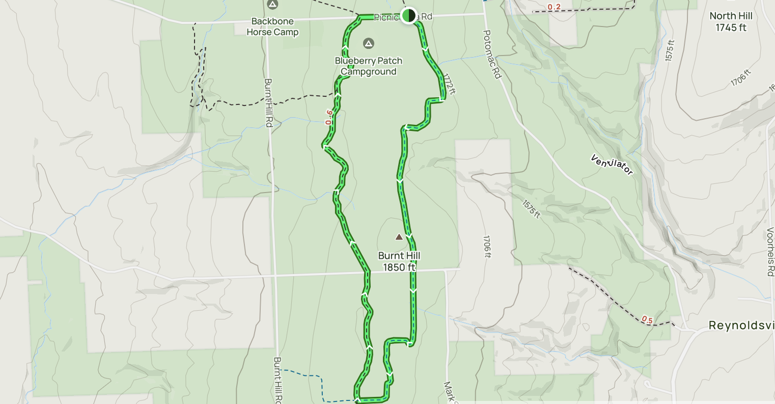
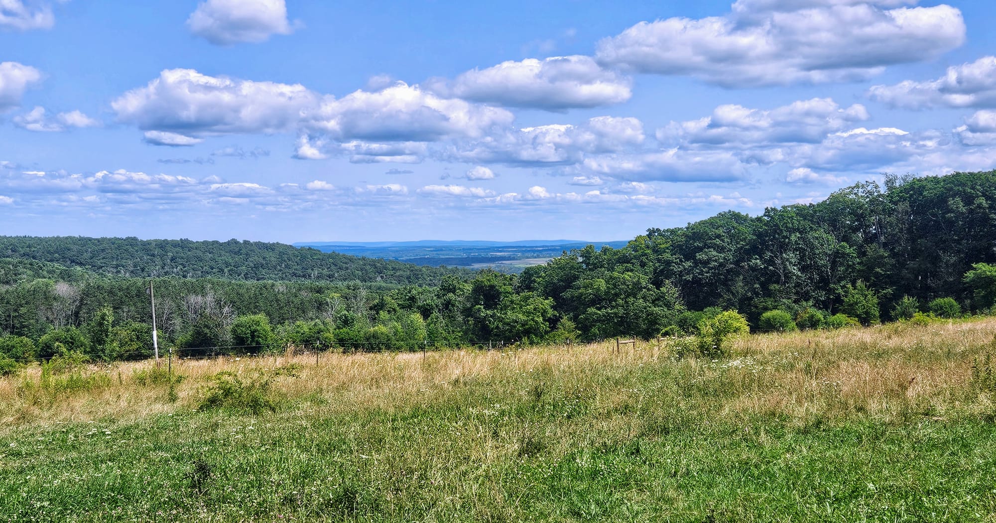
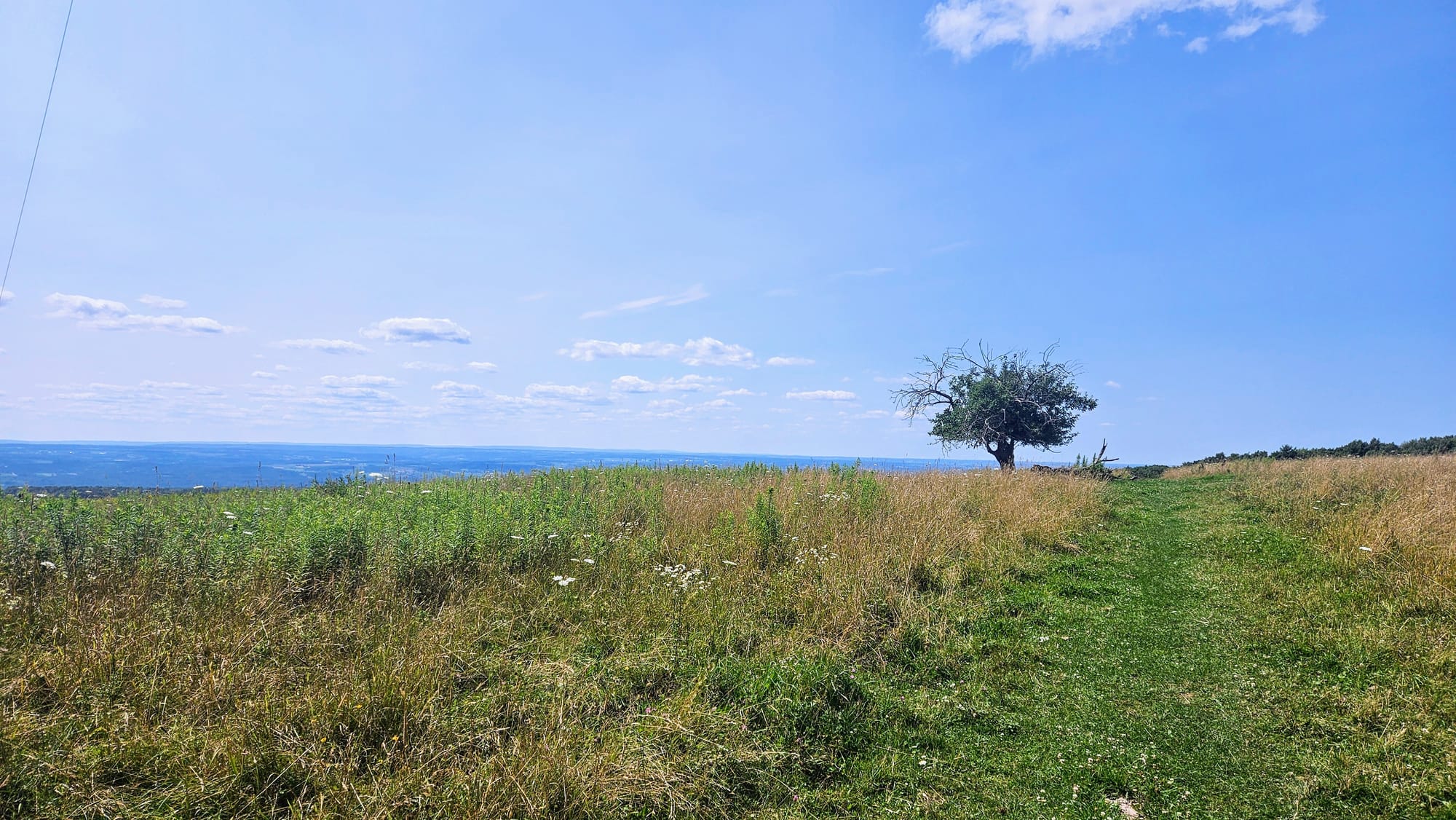
We started on top of a hill, so we got to see nice views despite the total elevation gain being only a few hundred feet. We went through a mixture of forest and pasture, first hitting the summit of Burnt Hill and then reaching the west side of the hill via the Interlaken Trail. Not only were the views from the hill beautiful, but as with so many of our hikes this week, we were greeted by the full bloom of summer wildflowers. The only downsides to this hike were lots of mud and bugs. That's the price we've been paying to hike in July. The bugs have been relentless, especially in the national forests! We had hoped that a cooler, drier day would help matters, and maybe it did, but we still got swarmed.
We got some great views right away, before making our way into the woods
The clouds complemented the landscape on top of Burnt Hill
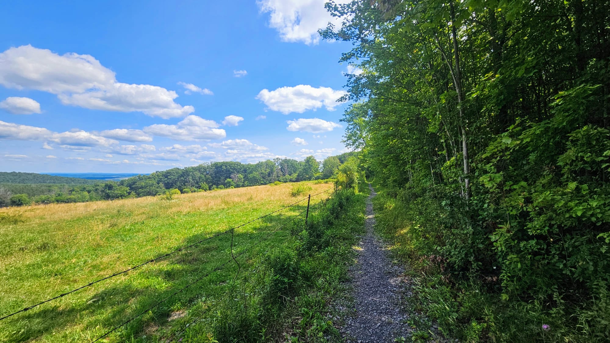
Some fun features included wooden "bog bridges" and gates where we entered and exited the pastures. They're there to keep the cows in when they're grazing, but we didn't see any during our hike. We did see some "evidence" of them, though!
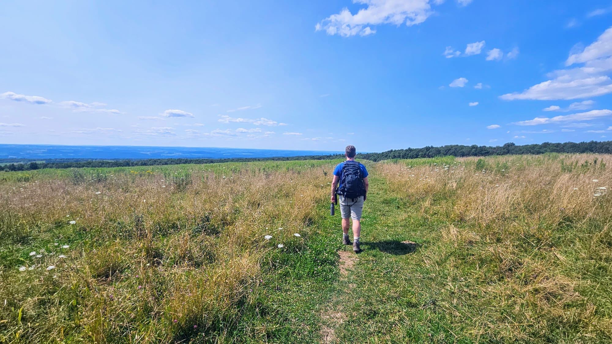
Pasture views on the Interlaken Trail
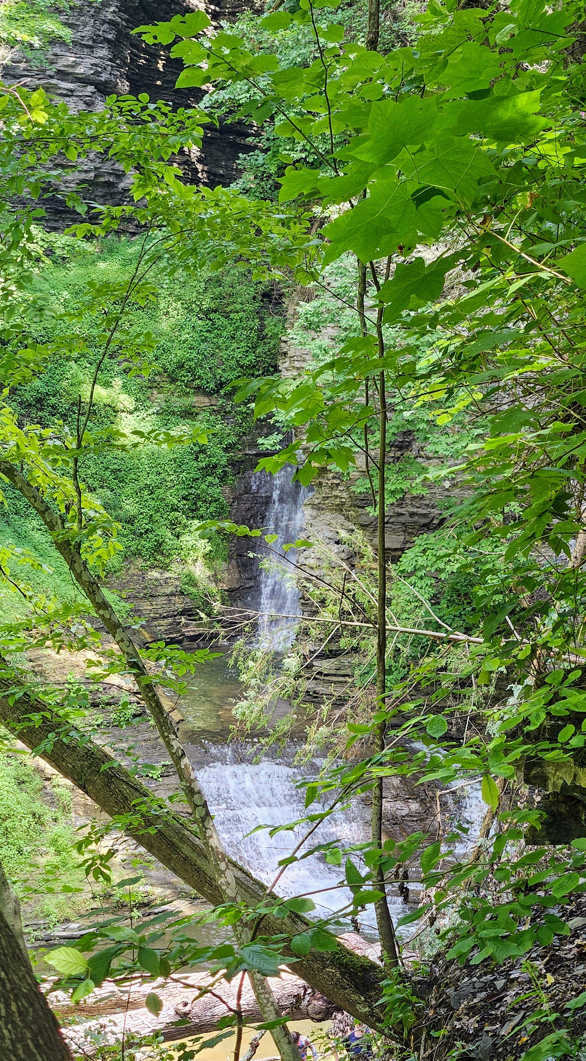
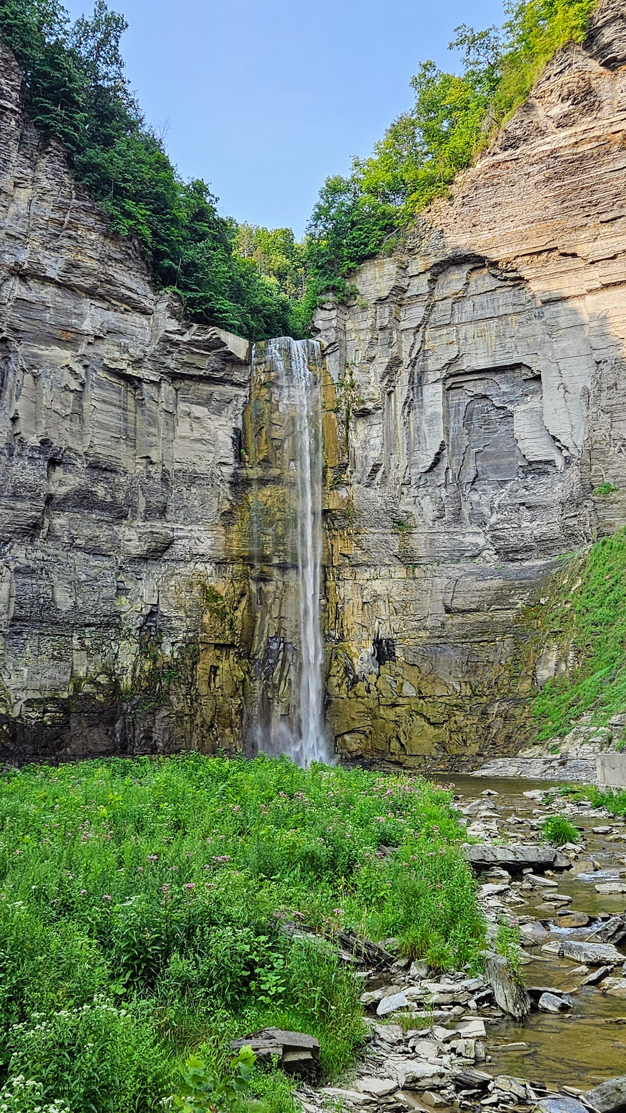
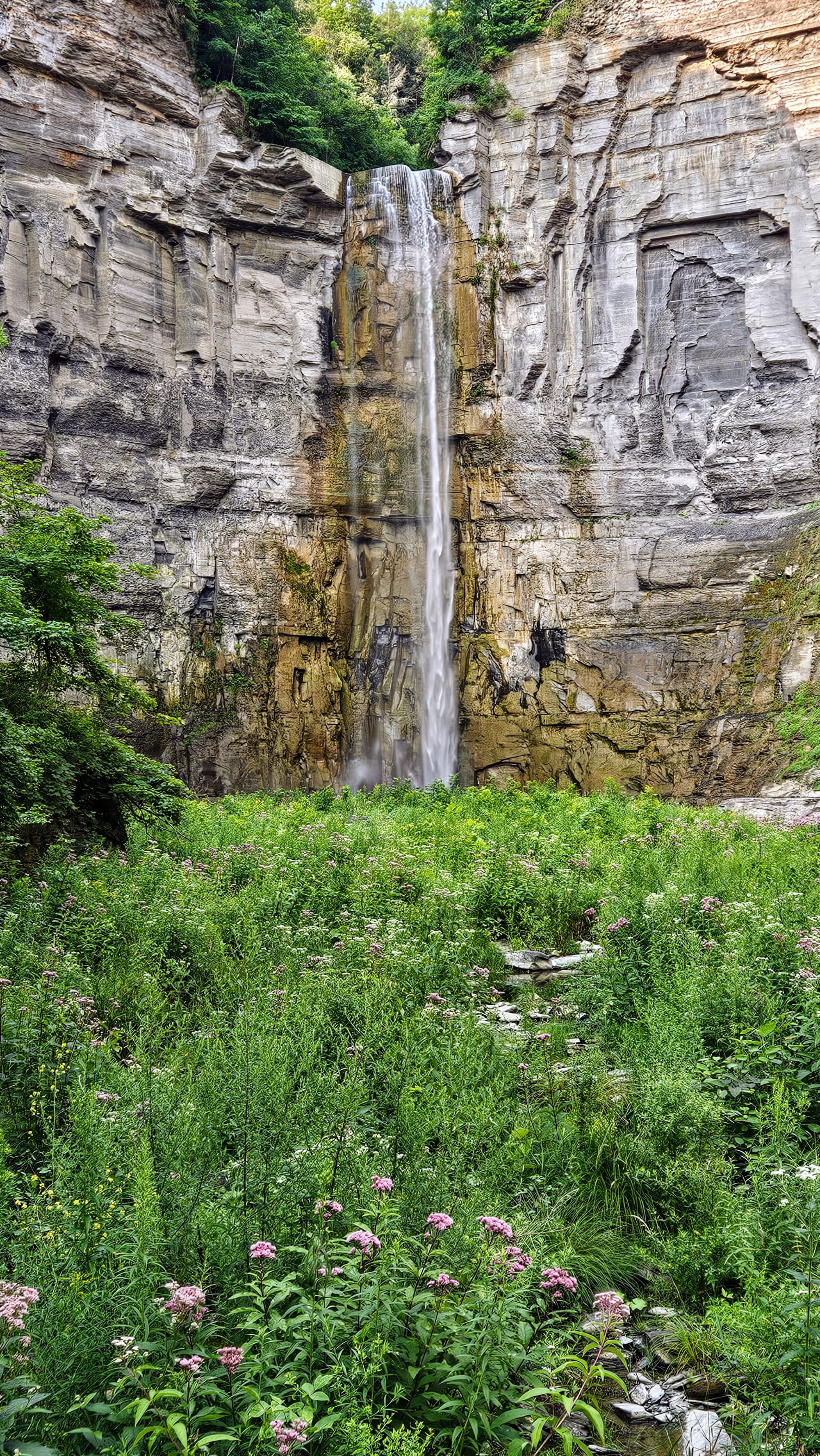
On our final day at Watkins Glen, we hiked the Gorge Trail! No, not the Watkins Glen Gorge Trail, but the Taughannock Falls Gorge Trail on Cayuga Lake. This lake lies east of Seneca Lake, and where Watkins Glen is the town at the south of Seneca Lake, Ithaca is the town south of Cayuga Lake. The Taughannock Falls Gorge Trail is not as famous as Glen Gorge, but it has its own appeal, namely this 215ft tall beauty at the end of the trail.
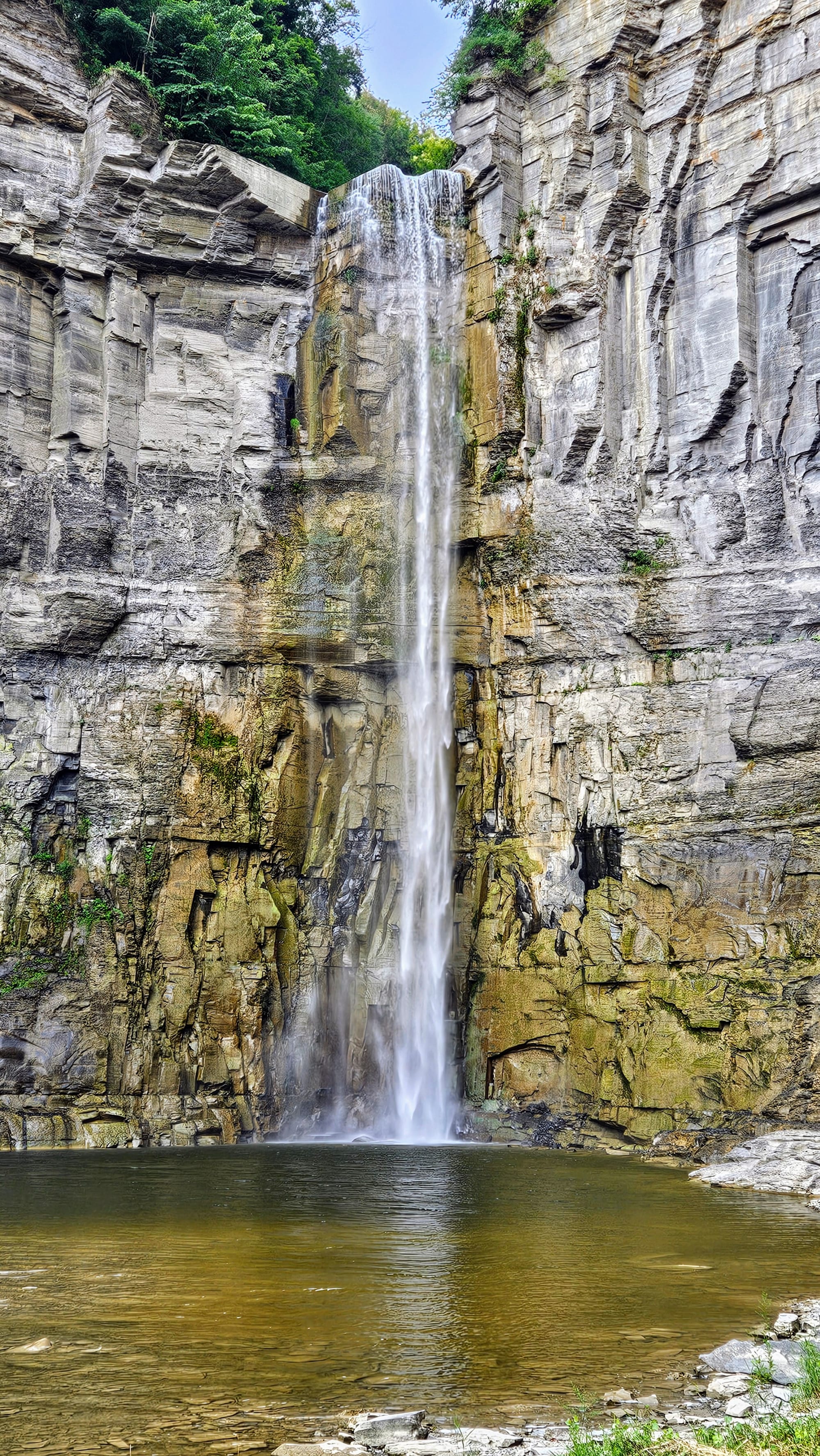
The trail is about 1.8 miles out and back. This time of year, the water level was low, but we still got to see the waterfall and some cascades. Unlike Watkins Glen, this path is more woodsy, with lots of tree cover. Still, we got many nice views of the gorge and even walked on it in one spot.
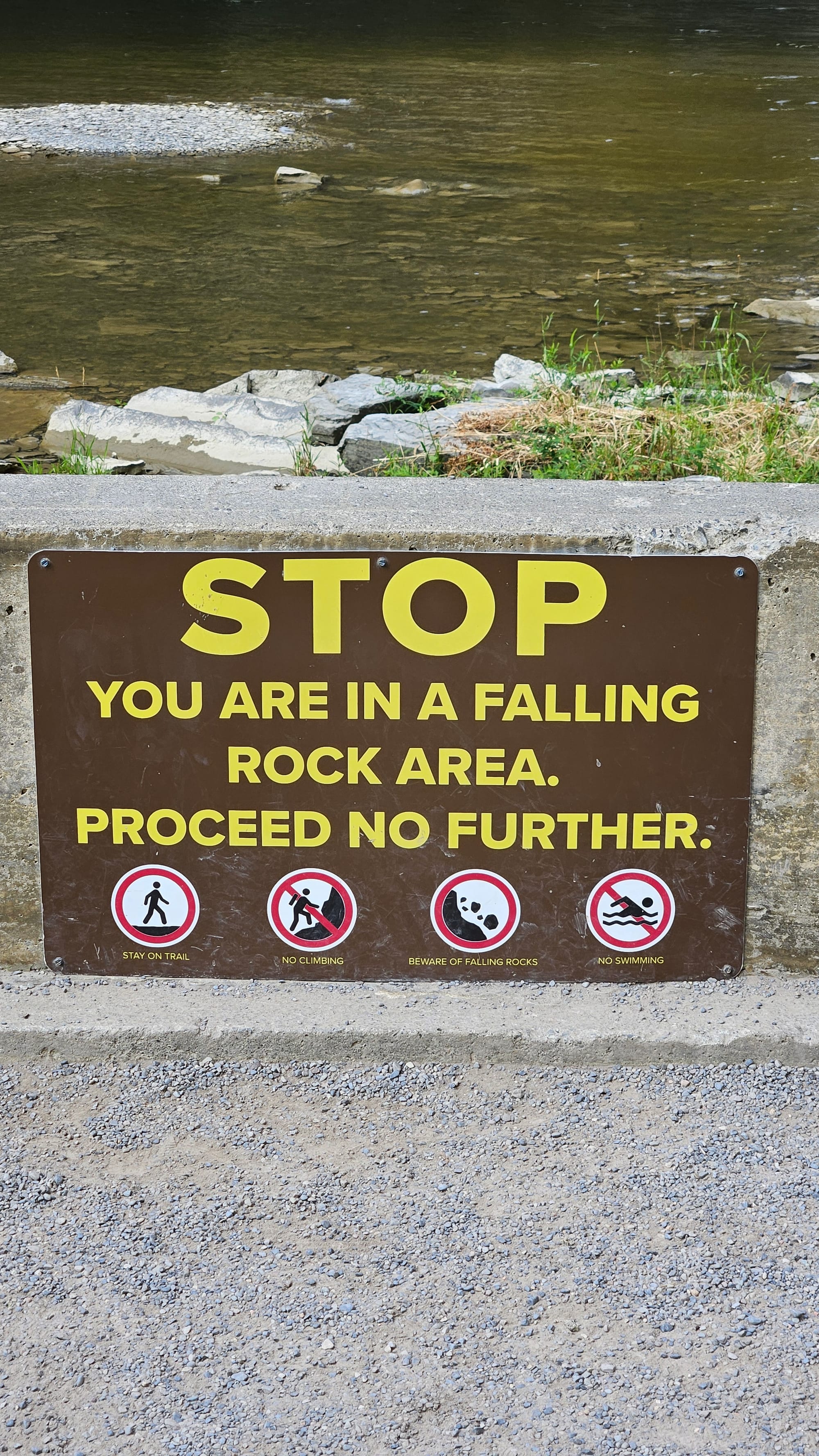
It's an easy and pleasant walk, and before we knew it, we were crossing a bridge and getting views of Taughannock Falls. Beyond the bridge is an overlook, with lots of signs posted to not go near the waterfall because it is a rockfall area. They aren't kidding. As we crossed over the bridge, suddenly we heard a huge crash, and when we looked over to the waterfall, it had started flowing more forcefully. We're pretty sure a rock had been blocking some of the flow and eventually the force of the water pushed it over the cliff.
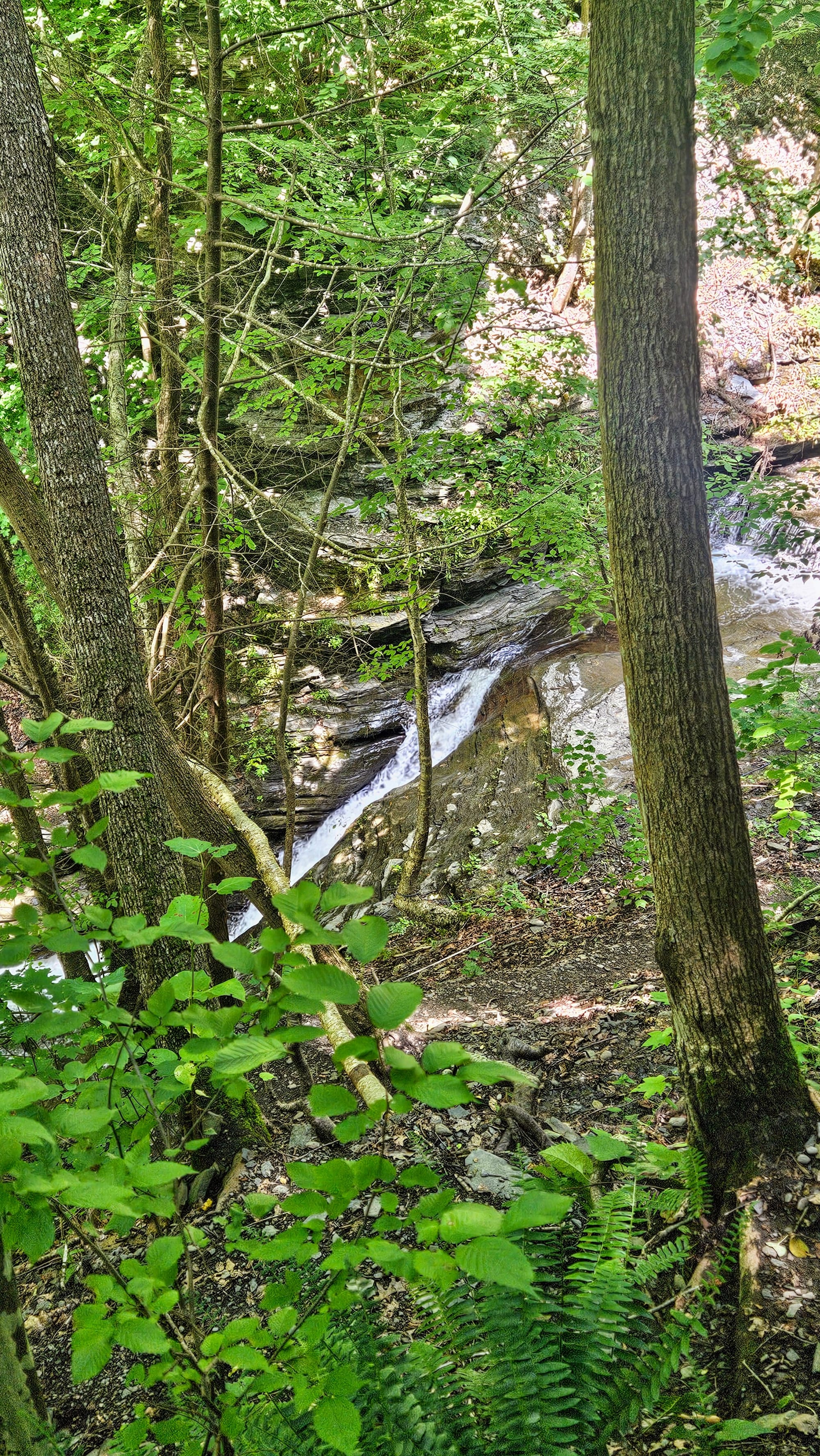
We were having a lot of fun exploring the gorge trails in the area, and so after Taughannock, we decided to head into Ithaca to Buttermilk Falls State Park. Of the three gorge trails we hiked, this one was the most challenging. We took the gorge trail up and then looped around to the rim trail on the way down. Whichever way you go, it will be steep, but the gorge trail at least has stairs. On a positive note, the views start right away. A short walk from the parking lot is Buttermilk Falls. Then, as we huffed and puffed our way up the side of the gorge, the views continued. We passed tons of waterfalls, cascades, and beautiful carved formations.
The rim trail had a few places to peek out over the gorge, but it mostly stayed in the trees.
We really enjoyed these gorge hikes, but Watkins Glen is all the rage for a reason. If you have time to only hike one, choose Glen Gorge. However, we hope you will plan an extended visit to the Finger Lakes region, because there is a lot of beauty to behold here, with its glacial-formed lakes, gorges, and over 150 waterfalls. We only caught a glimpse of this beauty, but we hope to return to the area the next time we're passing through. Perhaps 2022 Nicole and Anthony were onto something, and autumn would be a nice time to visit. The waterflow of the falls wouldn't be as heavy, but we'd probably need to deal with less bugs and humidity!
Even with those little setbacks, our week in Watkins Glen was a success. We visited a place that had been on our list for years; we gained a deeper understanding and appreciation of the spectacular features that the area boasts; and we made some great strides in our 100 hiking miles challenge. It's official: The Finger Lakes is certainly a destination worth "falling" for.
Want to learn more about the unique geology of the Finger Lakes Region? Here is an informative article. The same website also has an article on the various gorge trails.