Squeezing in 3 days at Valley of Fire State Park

We've sung the praises of Lake Mead National Recreation Area, exclaiming that it has some of the best views we've seen anywhere in the country. As such, typically when we travel around Las Vegas, this is where we end up. We're content basking in canyon and lake views, with civilization of the Vegas suburbs just a short drive away.
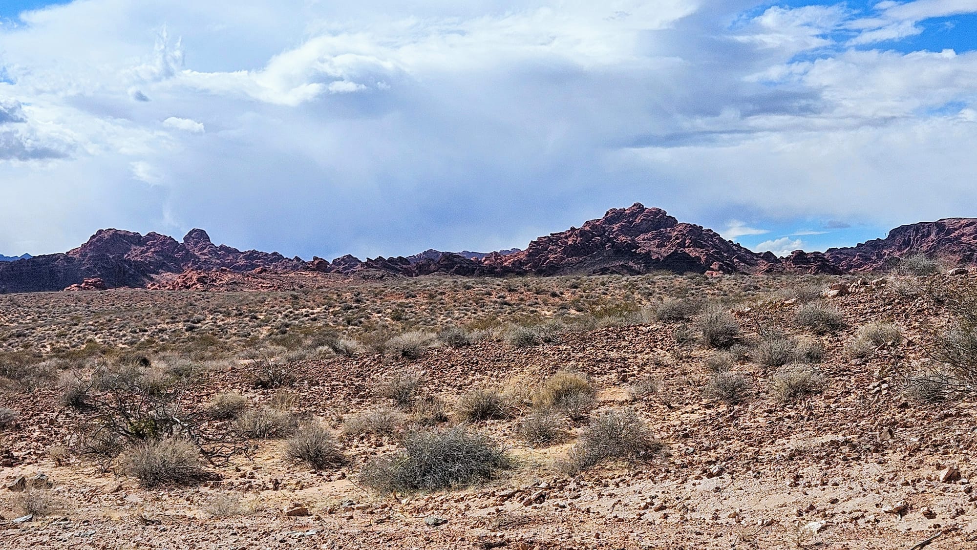
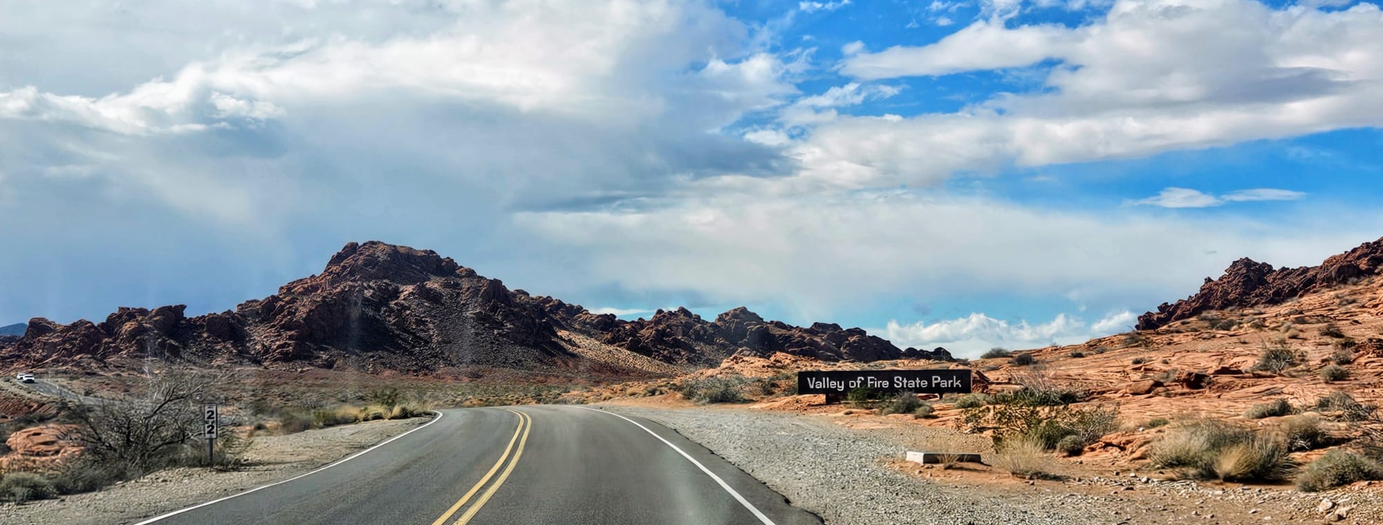
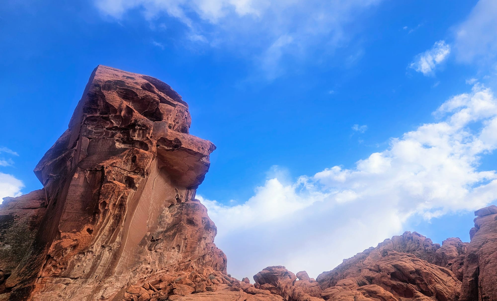
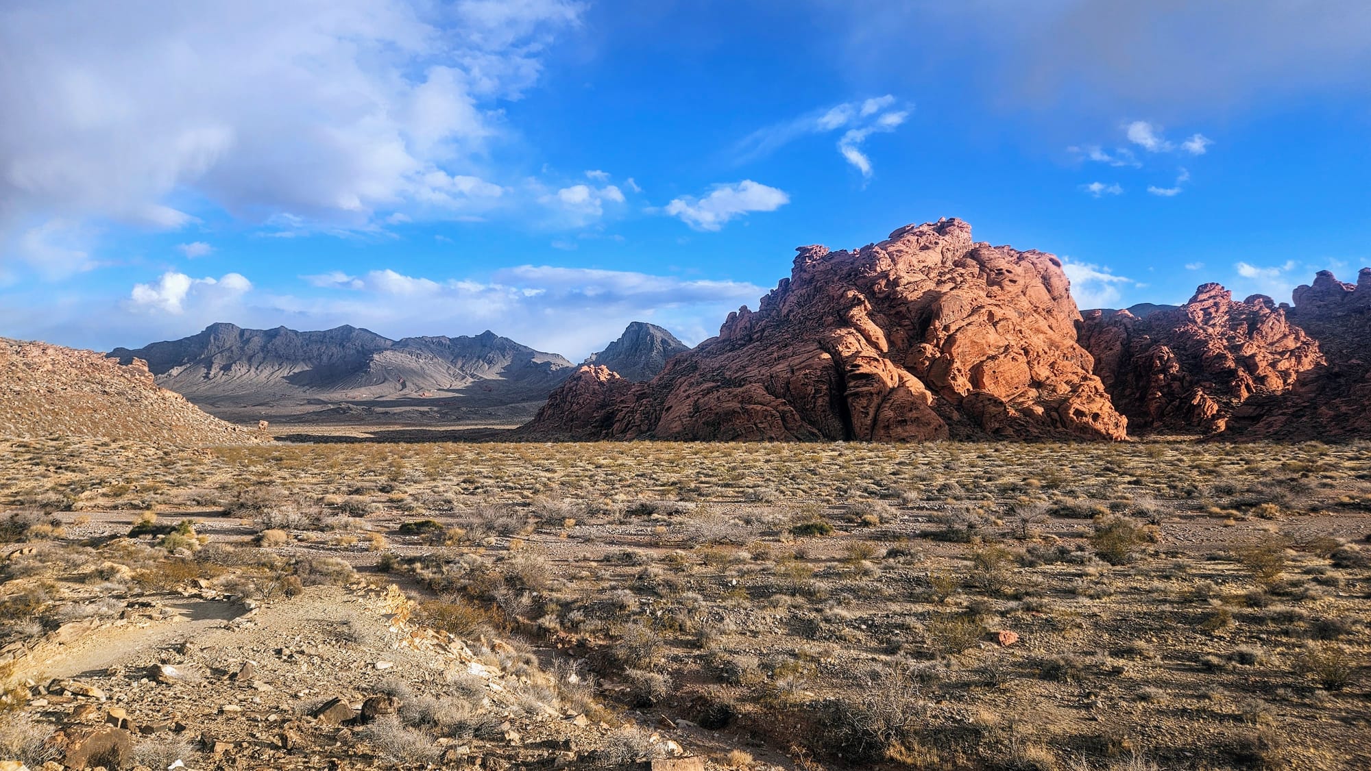
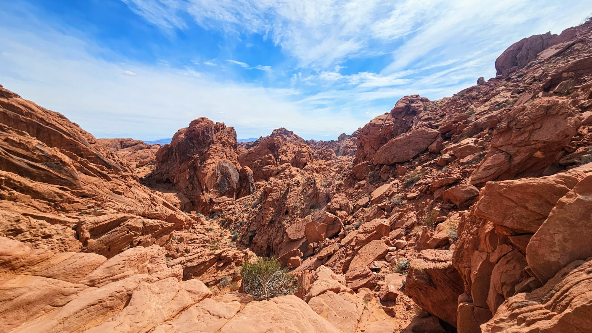
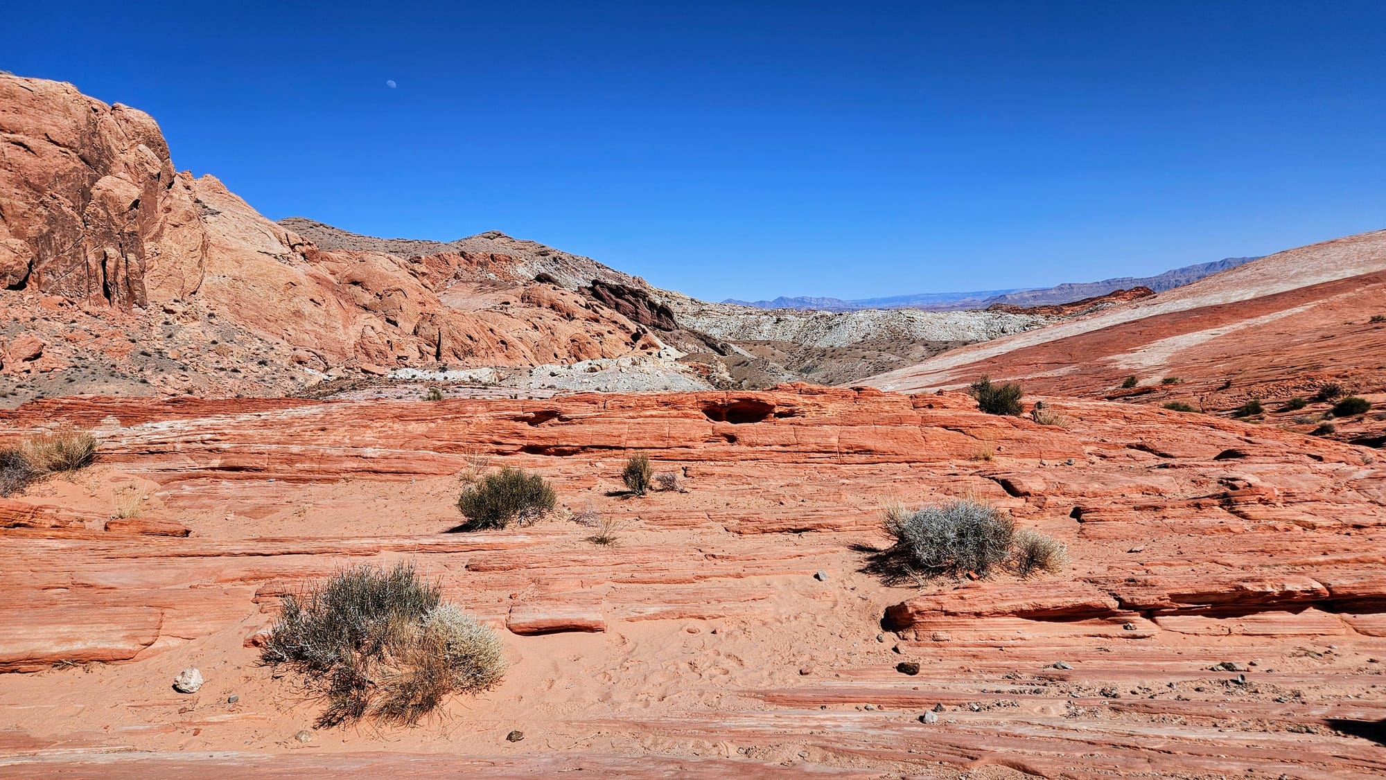
However, there was one nearby destination that had been recommended to us again and again: Valley of Fire State Park. This is Nevada's first and largest state park, and it's situated adjacent to Lake Mead's northern entrance. We were told this place was a must-visit, as it boasts its own incredible views. Red Aztec sandstone formations are in abundance, giving the state park its fiery name. Of course, in the warm season, the name has added suitability. Valley of Fire State Park reaches average temperatures of over 100˚F in the summer months, with temps often reaching 120˚F. Many hikes here are prohibited in the summer for this reason!
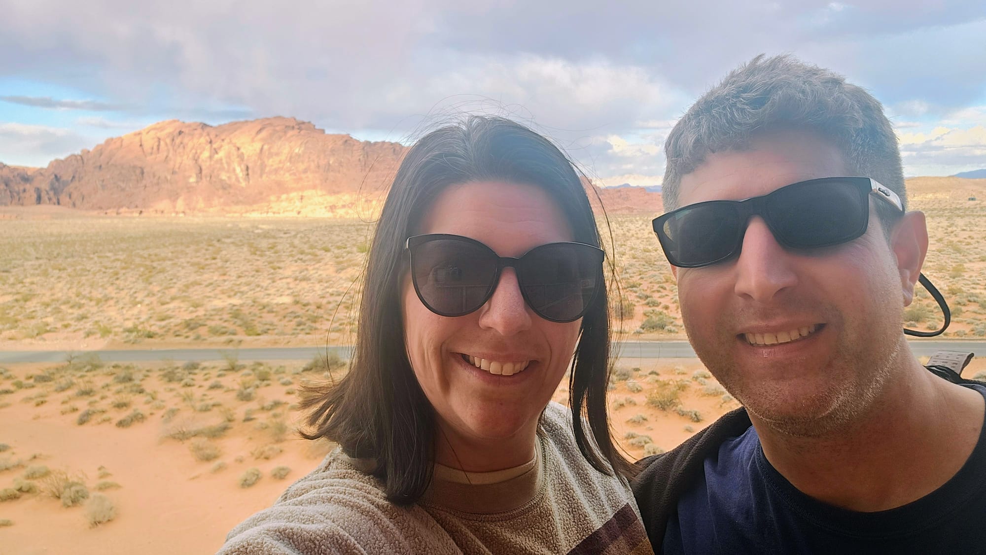
We'd be rolling through Lake Mead in March, which would give us great weather while we killed time before our axle appointment in Utah. It's strange to think that we actually booked our Valley of Fire site way back in August of last year! It's almost unbelievable that we actually kept a reservation that was so far in advance, especially given the insane life events that almost derailed our Season 4 travels. Nevertheless, March arrived, and we were exactly where we planned to be. Our Valley of Fire visit was a go!
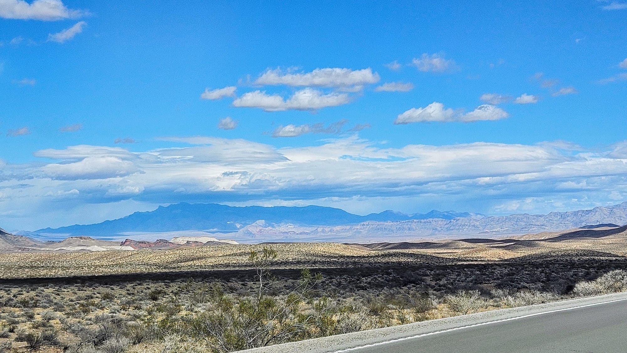
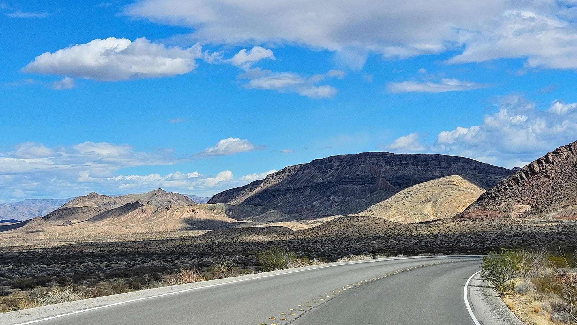
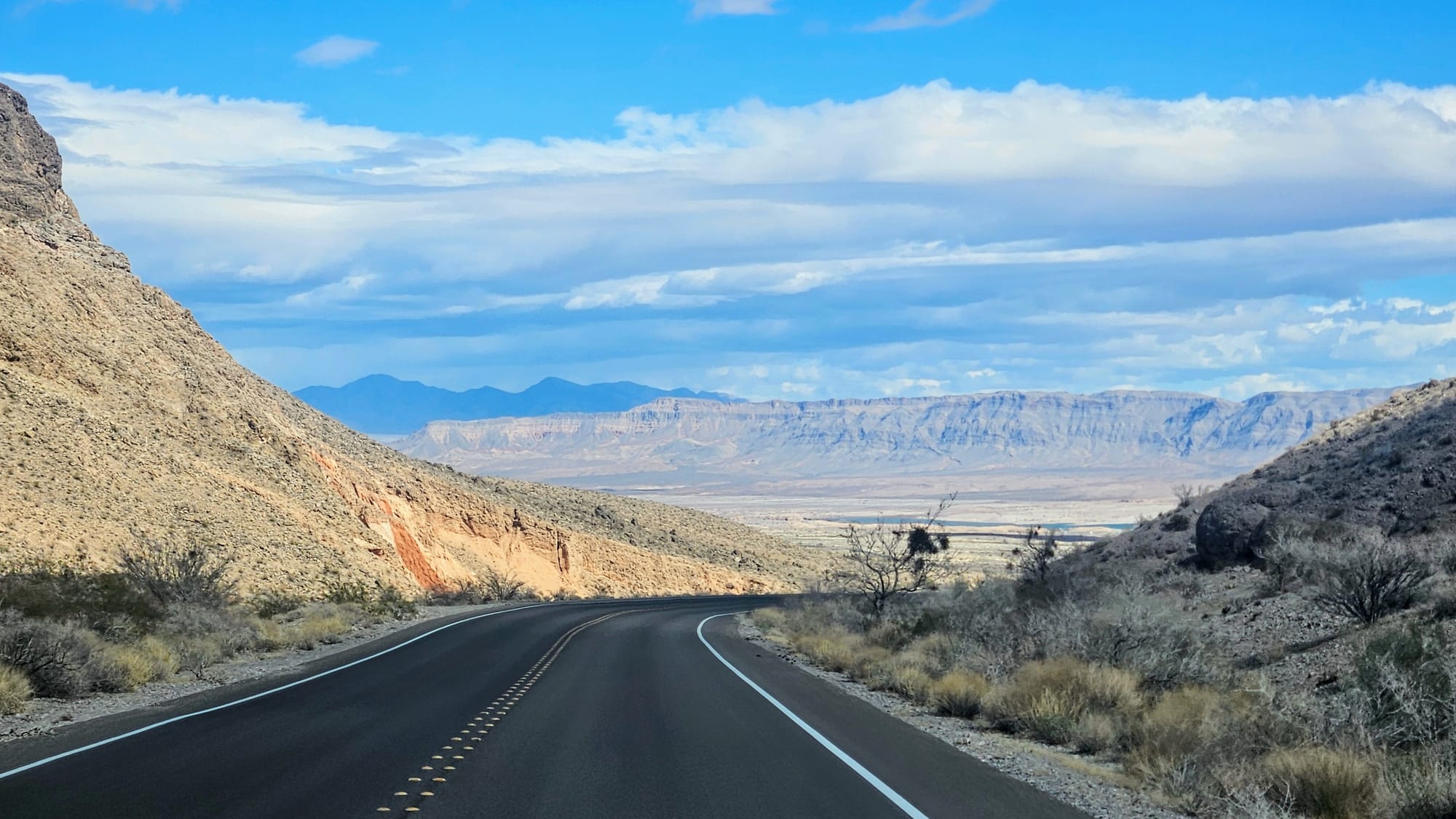
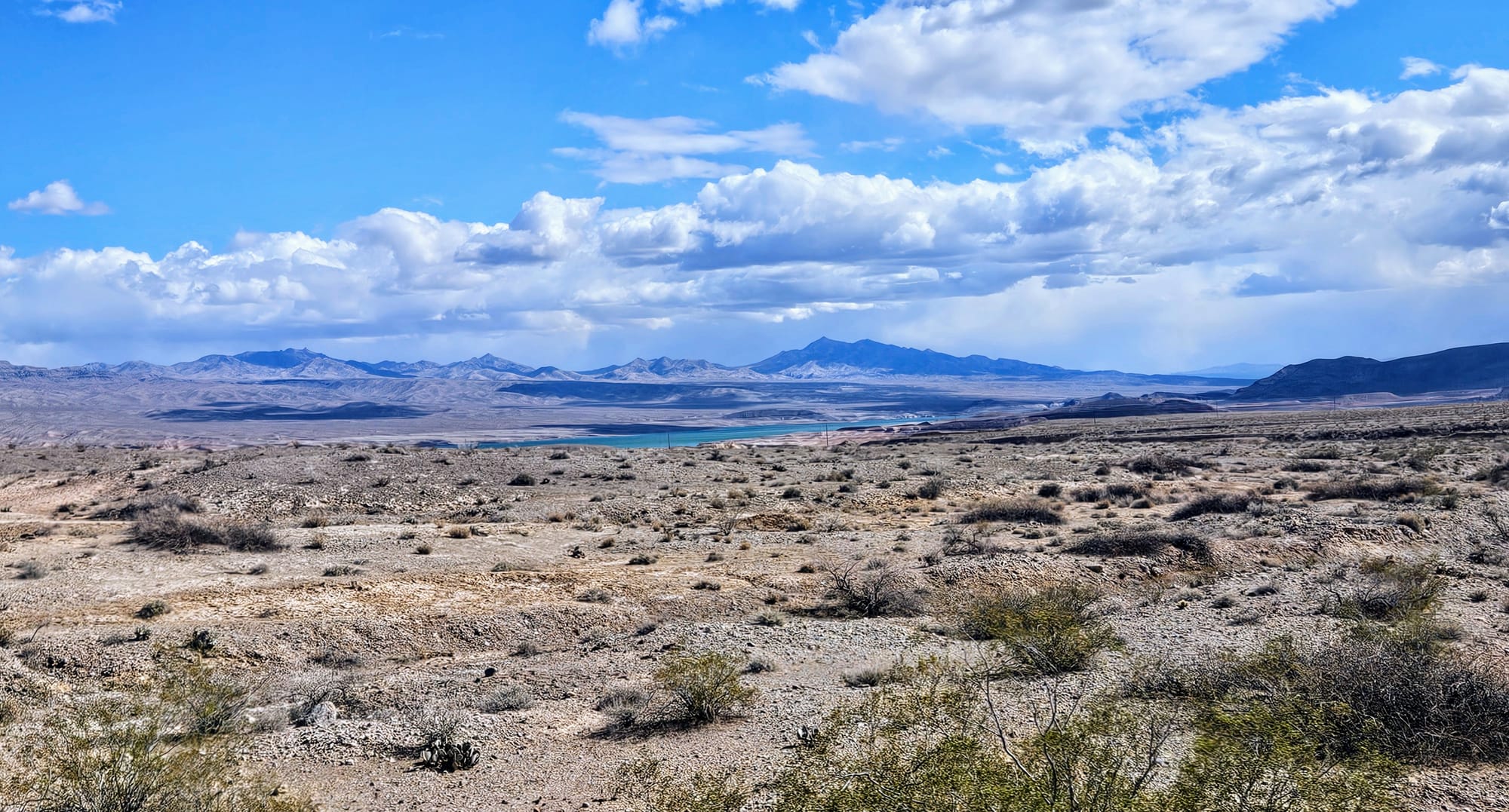
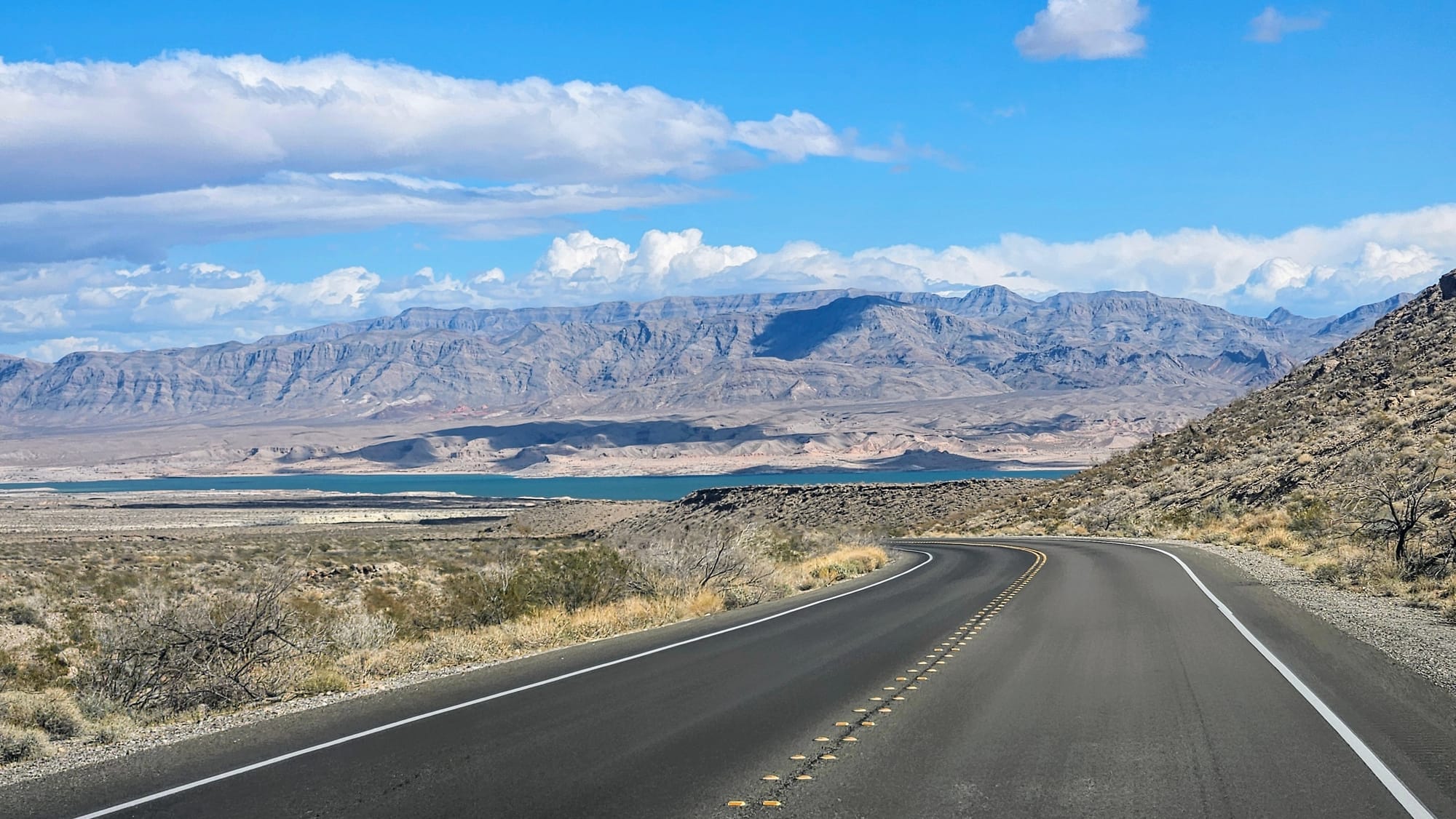
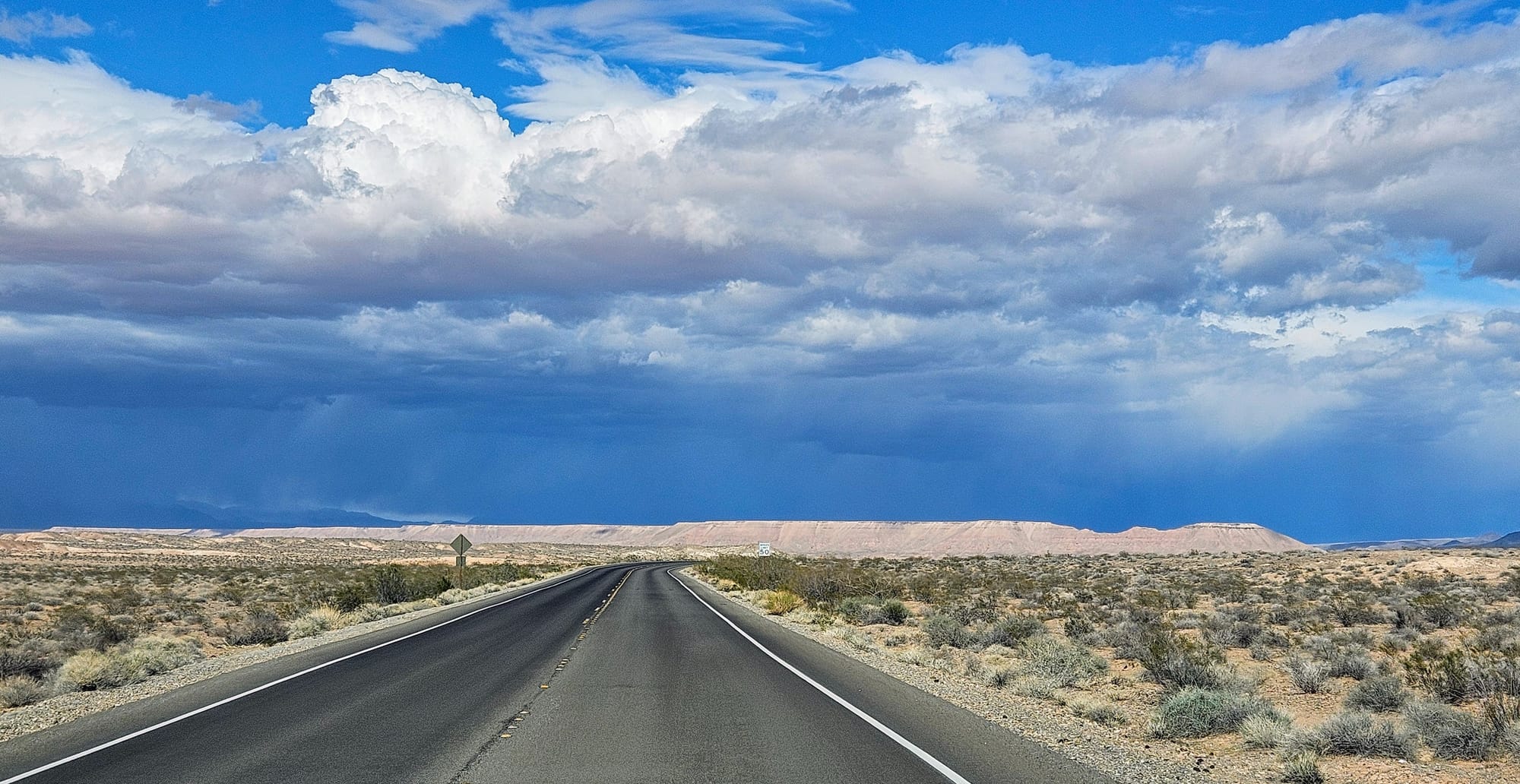
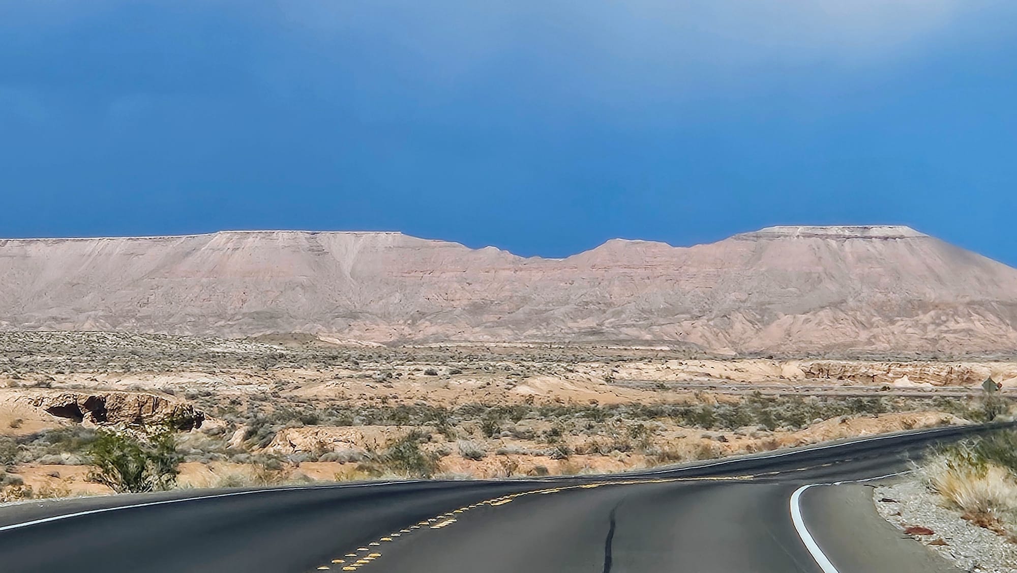
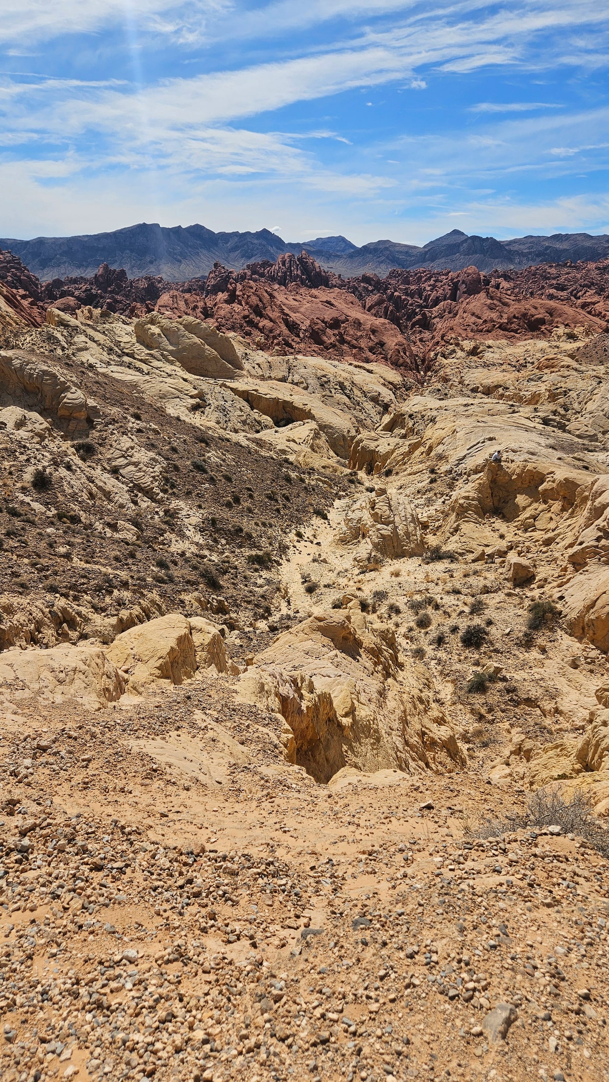
The drive from Las Vegas Bay to Valley of Fire took us about 90 minutes towing. We traveled along North Shore Road, a parkway that leads from the NRA to the state park road. The views were jaw-dropping. We love nothing more than a scenic travel day, and we might just have to put this one in the top 5. For such a short drive, the landscape was lavish. We passed by mountains, water, canyons, mesas, and finally, the sandstone formations.
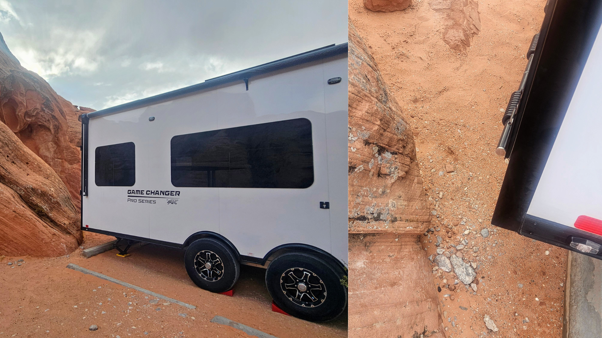
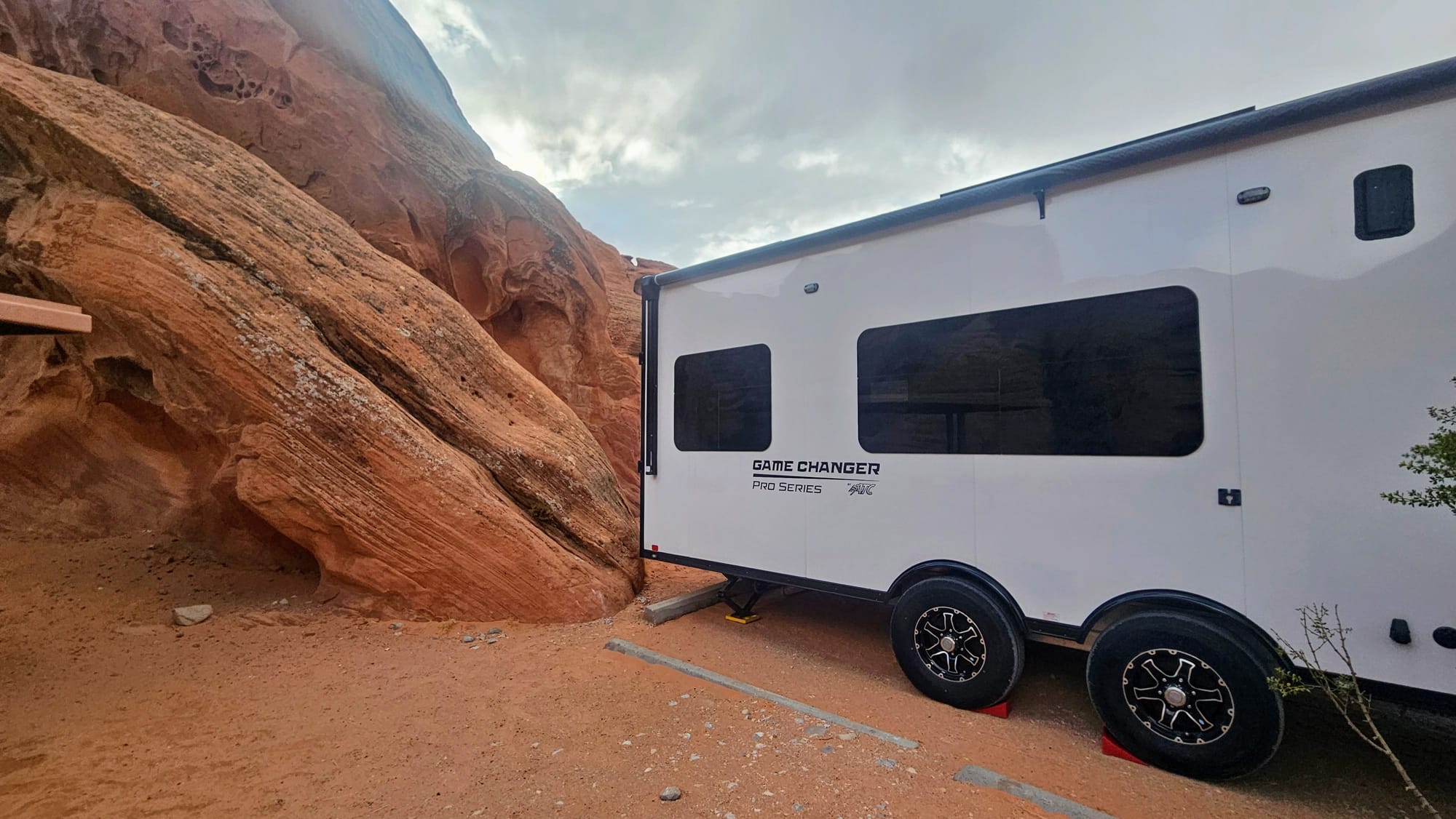
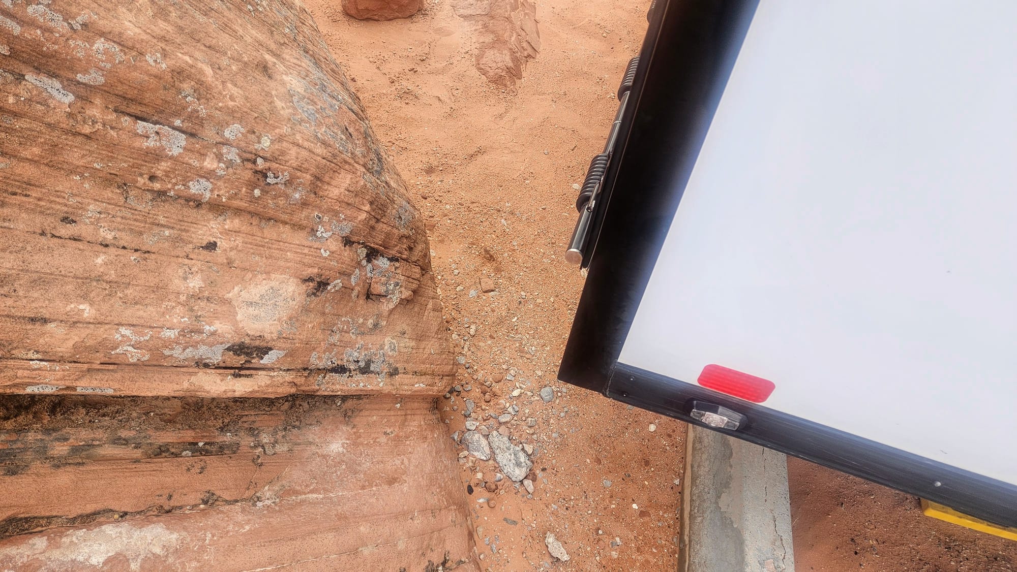
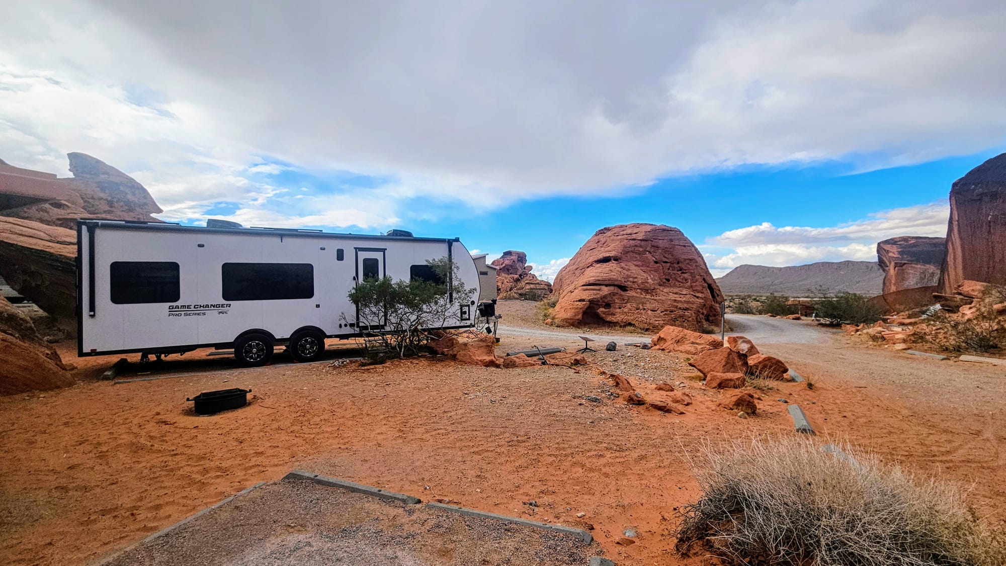
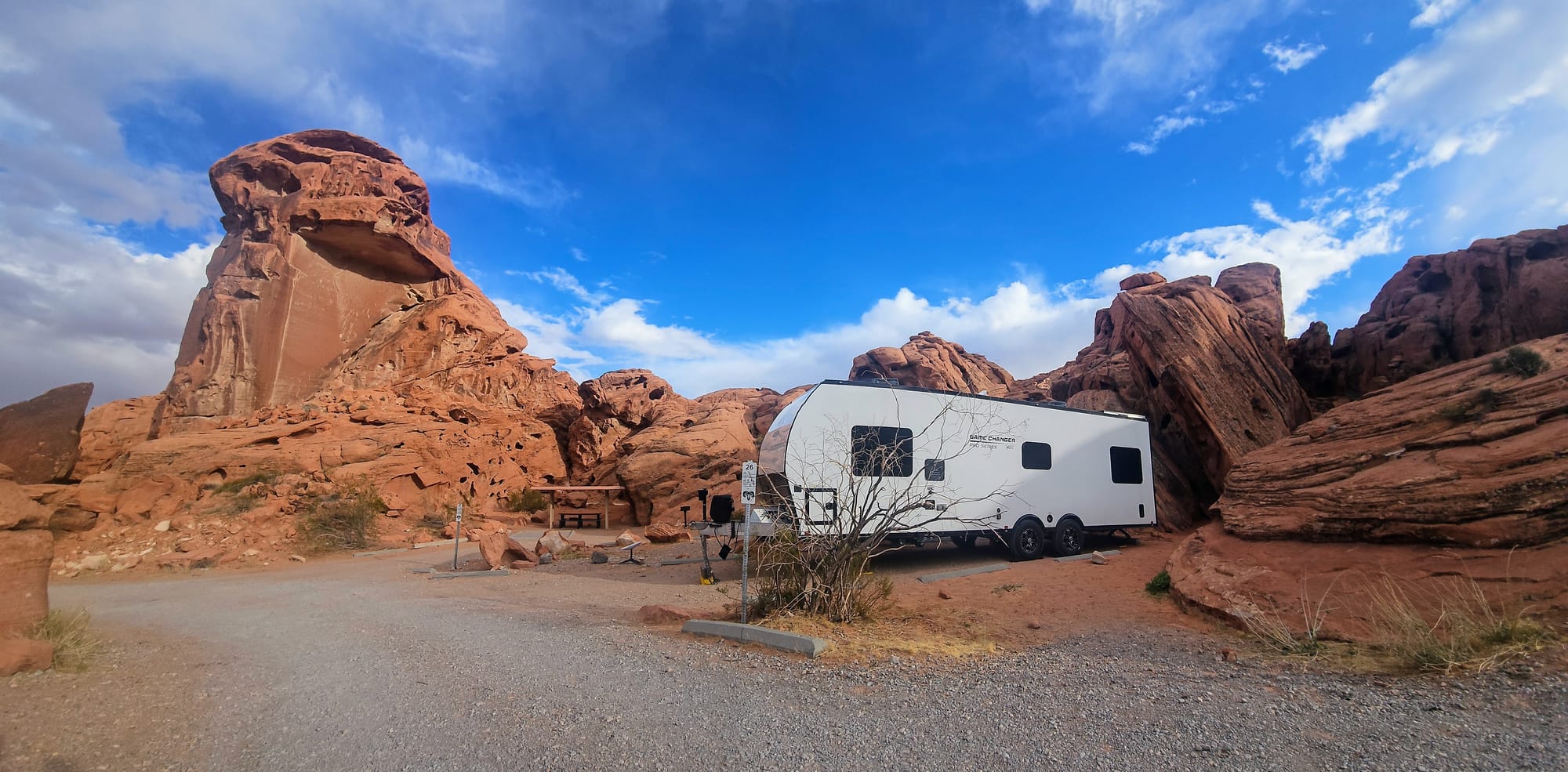
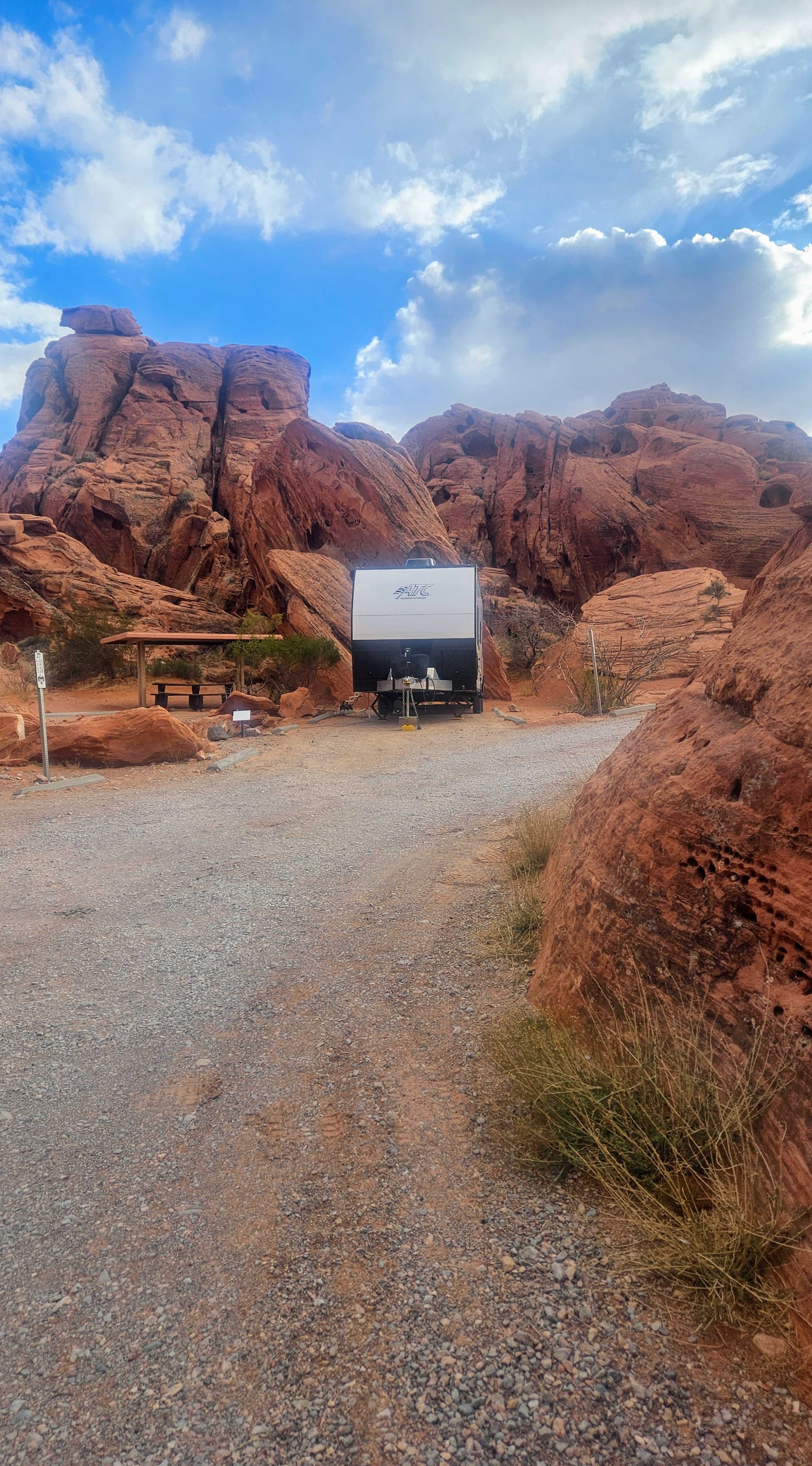
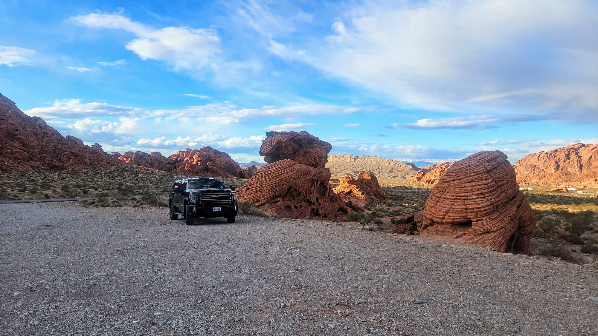
Because we booked our campsite early, we had our choice of several campsites. I did my usual due diligence, checking lengths and even looking at pictures to ensure our rig would fit. Only, when we got to our campground, we immediately knew that fitting both truck and trailer was going to be a squeeze. The length of our site seemed short, and we couldn't even overhang off the back because a big rock was in our way. We put on a good show for our neighbors, who wondered if we'd be able to back in at all. I assured them that we got this. Maneuvering wouldn't be our issue. Personally, I felt that we had already done the hard part. The road in the campground wove among the rocks, creating some tight turns. We made it through unscathed and now just needed to round one last curve before backing it in. On a slope.
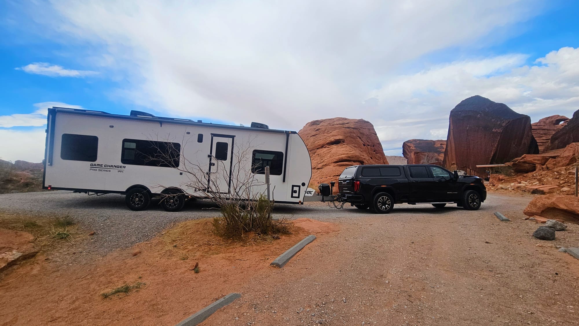
We did back the trailer in with ease, but there was no room to spare if we wanted even a chance of fitting Clyde in the site as well. I think I gave our neighbor a mini heart attack as I guided Anthony within just inches of the rock.
We quickly unhitched and got the truck out of the road so vehicles could get by, and then we made a couple of attempts to angle Clyde just so, even moving a couple of boulders so he could overhang the side of our site while straddling one of the cement barriers. We got close, but couldn't quite swing it. Sometimes campgrounds have overflow parking, but here, we just had to park near the toilets on a dirt hill and hope no one would yell at us. Thankfully, the toilets were right across from the site next to us, so we could keep an eye on the truck out our window.
Everything turned out fine, but I began wondering how I misjudged our site size. For context, this was now the 2nd time in 2 weeks that I chose a site too short for both truck and trailer. Was I losing my touch? Was I getting too cocky? The first site was at Death Valley National Park, and like many National Park campgrounds, the sites are rather small. I also had less options, so I figured I'd take the longest site available and we'd deal with the repercussions if they arose. We could have probably gotten the truck in with some intricate maneuvering, but overflow parking was available just a couple minutes' walk away, so we didn't bother trying. Also, the ranger acted like he'd take a knife to our tires if they were even slightly off the pavement, so we didn't want to cross him.
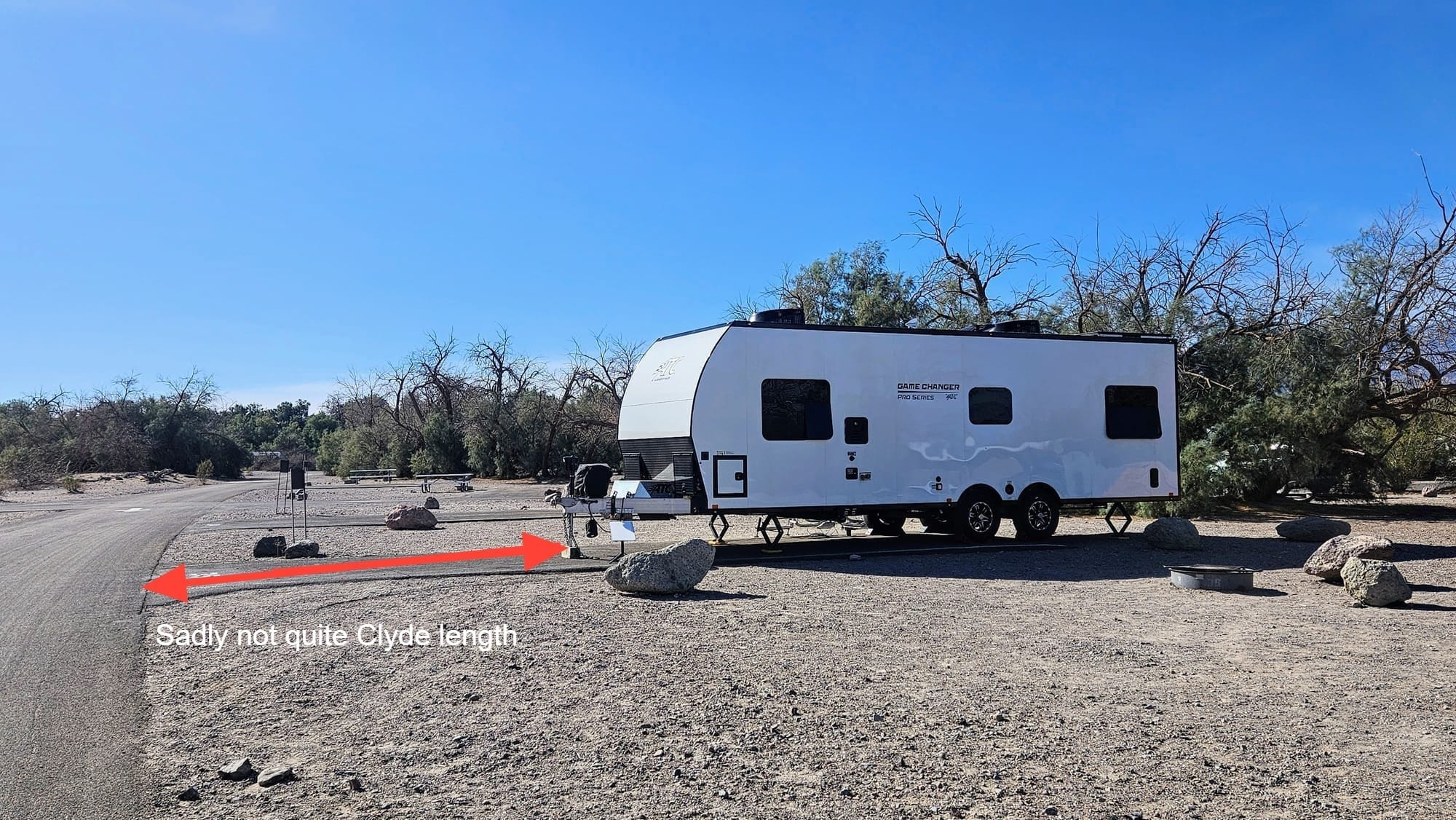
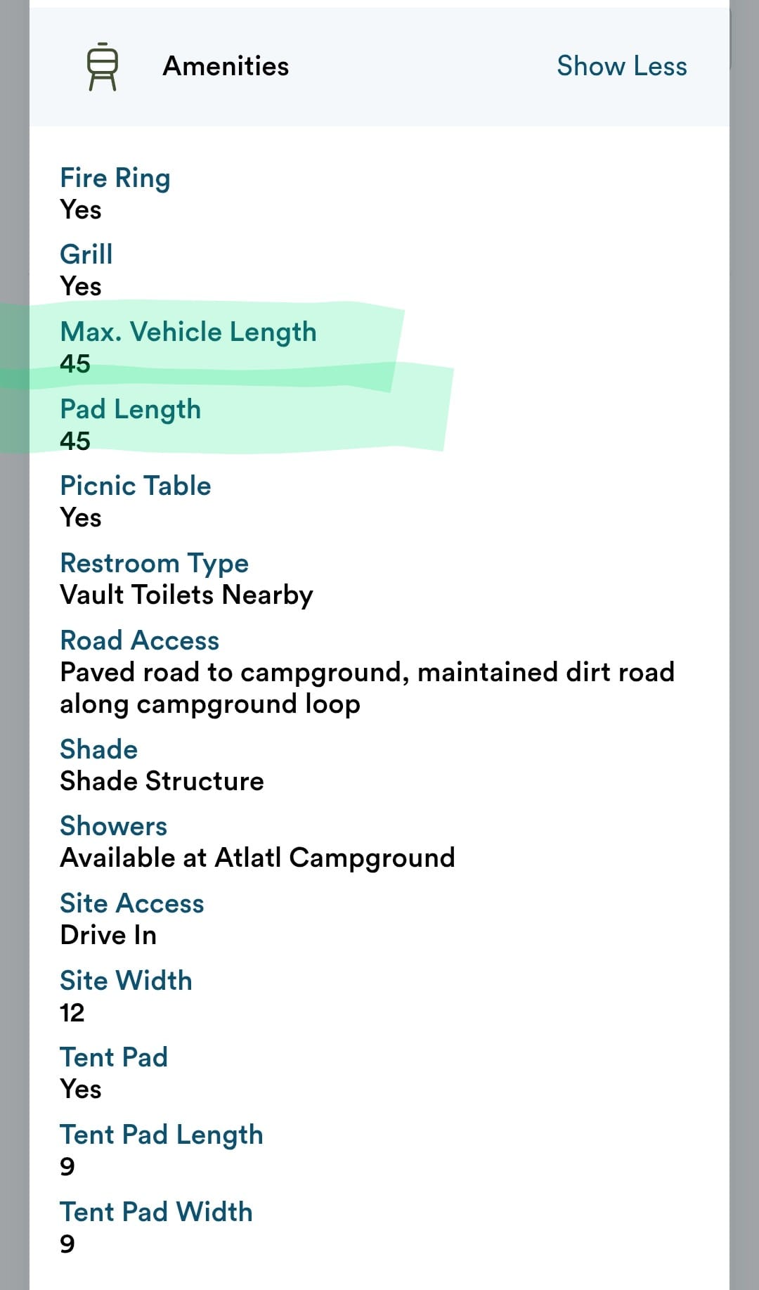
But here, what was going on? I had all of these sites to pick from, but still ended up choosing one too short. I went online and looked up our site description. "Site pad length: 45ft." Alright, that might sometimes be doable, depending on how we can angle the truck. But then I also saw "Max vehicle length: 45ft." Well, therein lies the problem! The site was on a curve, which means it's impossible to allow a 45ft vehicle into a 45ft length site. One side of the site will be shorter than the other. In saying that the pad length was 45ft, they were measuring at the longest point. This ensures that a 45ft vehicle would stick out on the shorter side. It's basic geometry! I also dove into the photos, the same ones I used to visually gauge the length of the site, and they were all out of perspective, making the site appear longer than it actually is.
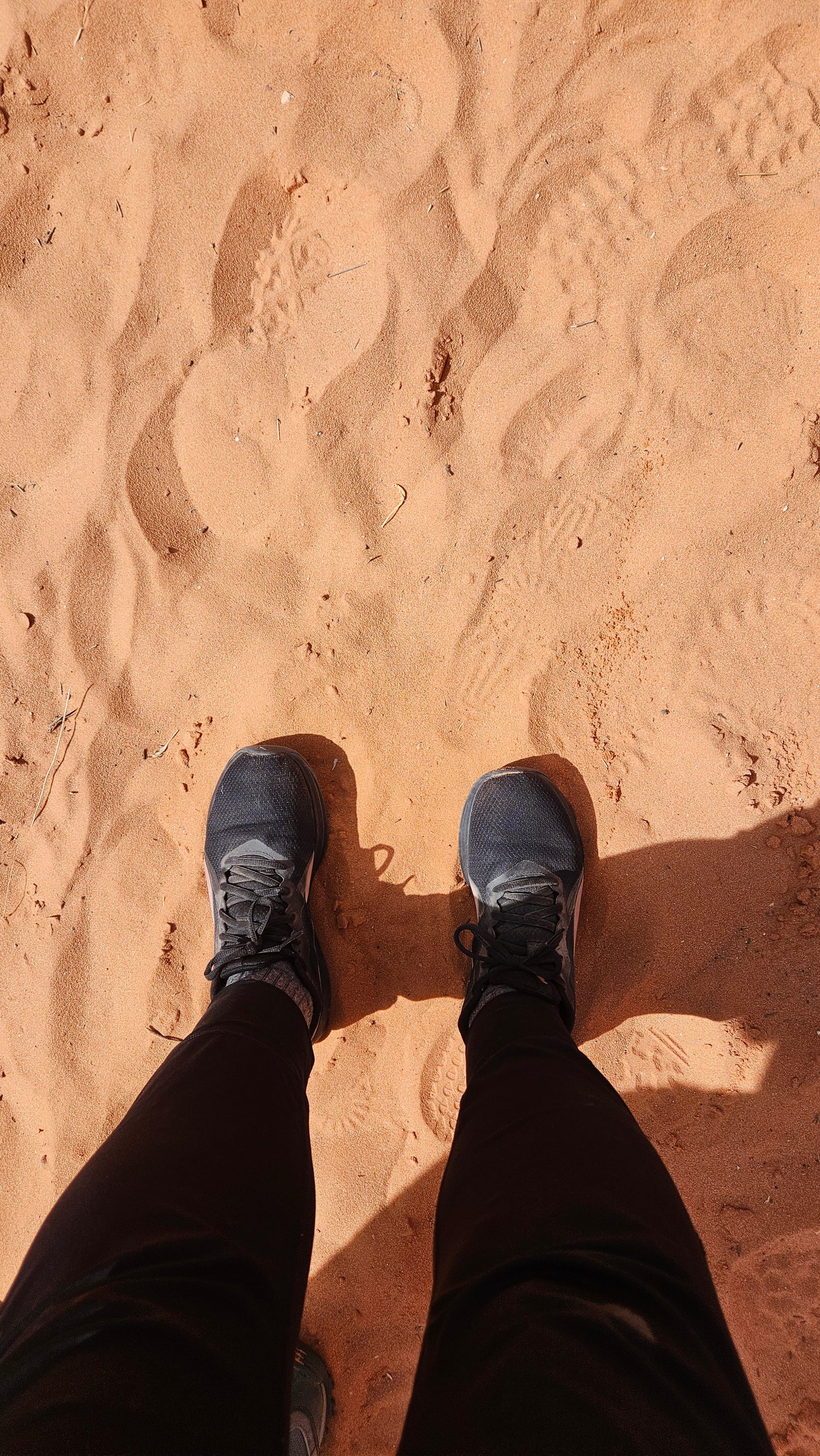
I won't lie, once we took our campground walk and saw some of the other sites, I wish I had chosen differently, but having never been here before, I did the best I could. Still, being nestled so close to the red rocks was really cozy. The rocks were so close to our windows, when the sunlight hit them, they emitted a reddish glow inside our trailer.
Site 26, back-in, no hookups
Red rock views, fire ring, grill, covered picnic table
Campground recommended? Yes
Campsite recommended? For rigs smaller than ours
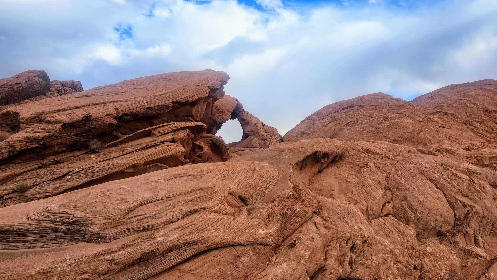
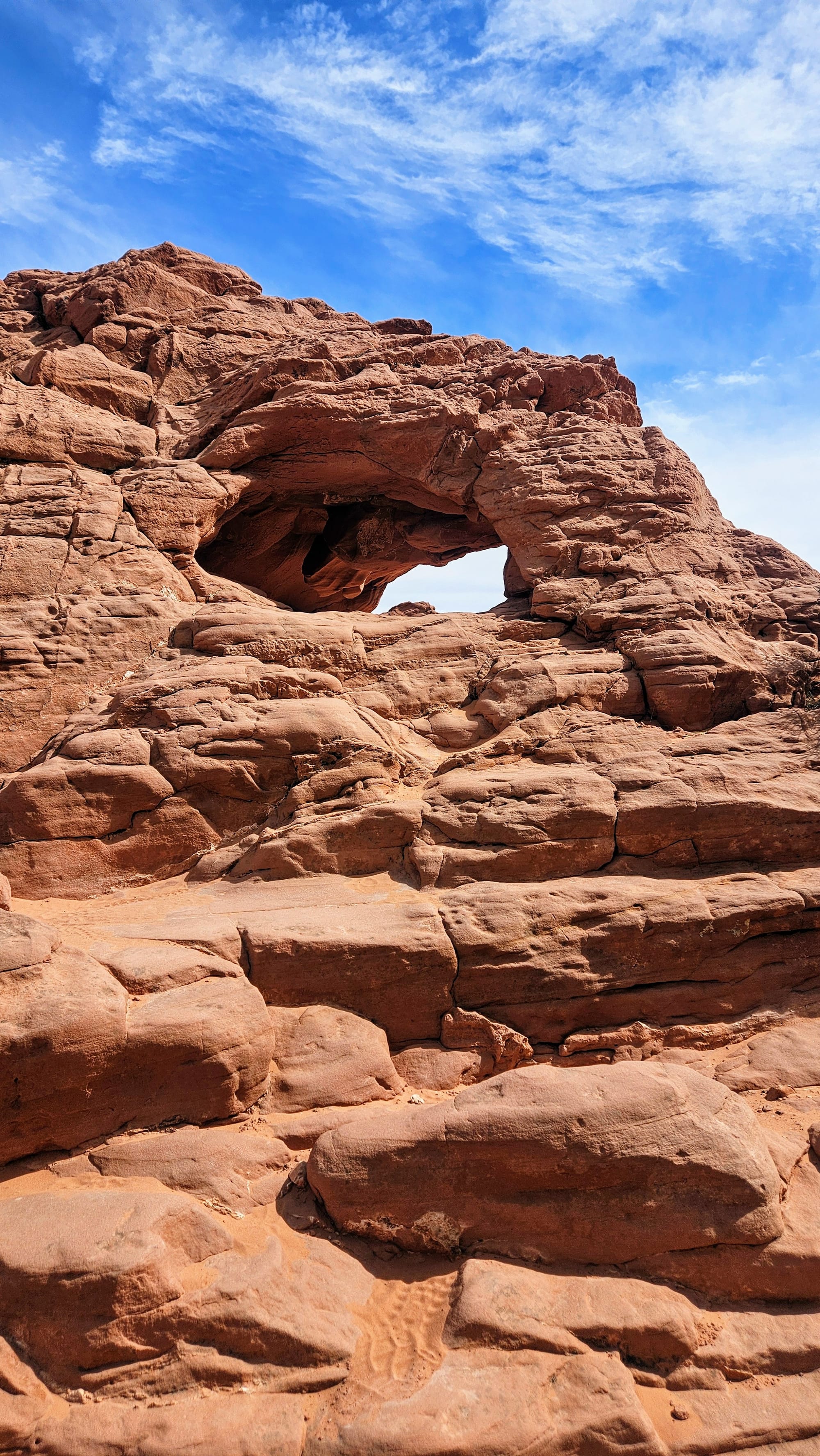
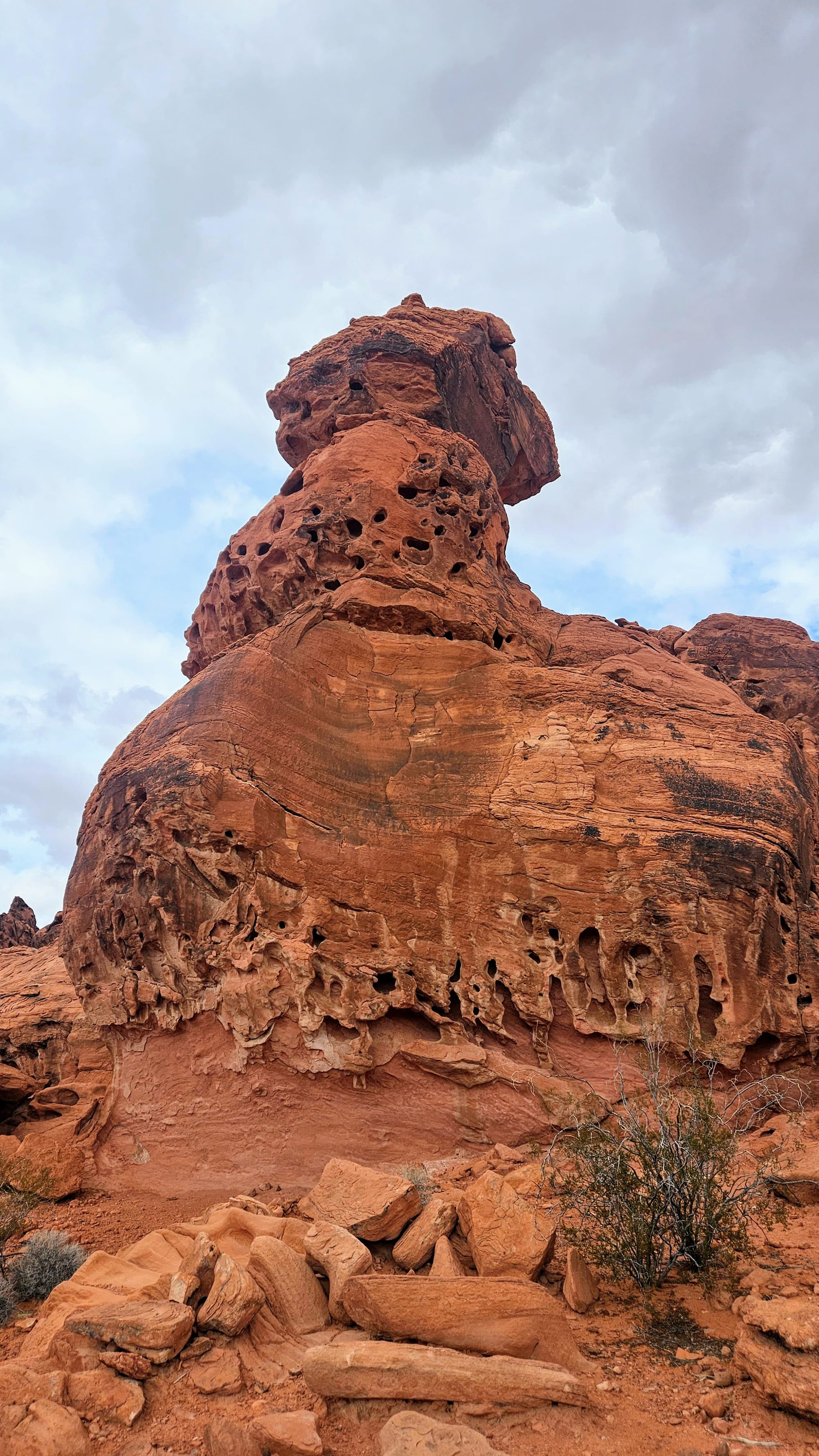
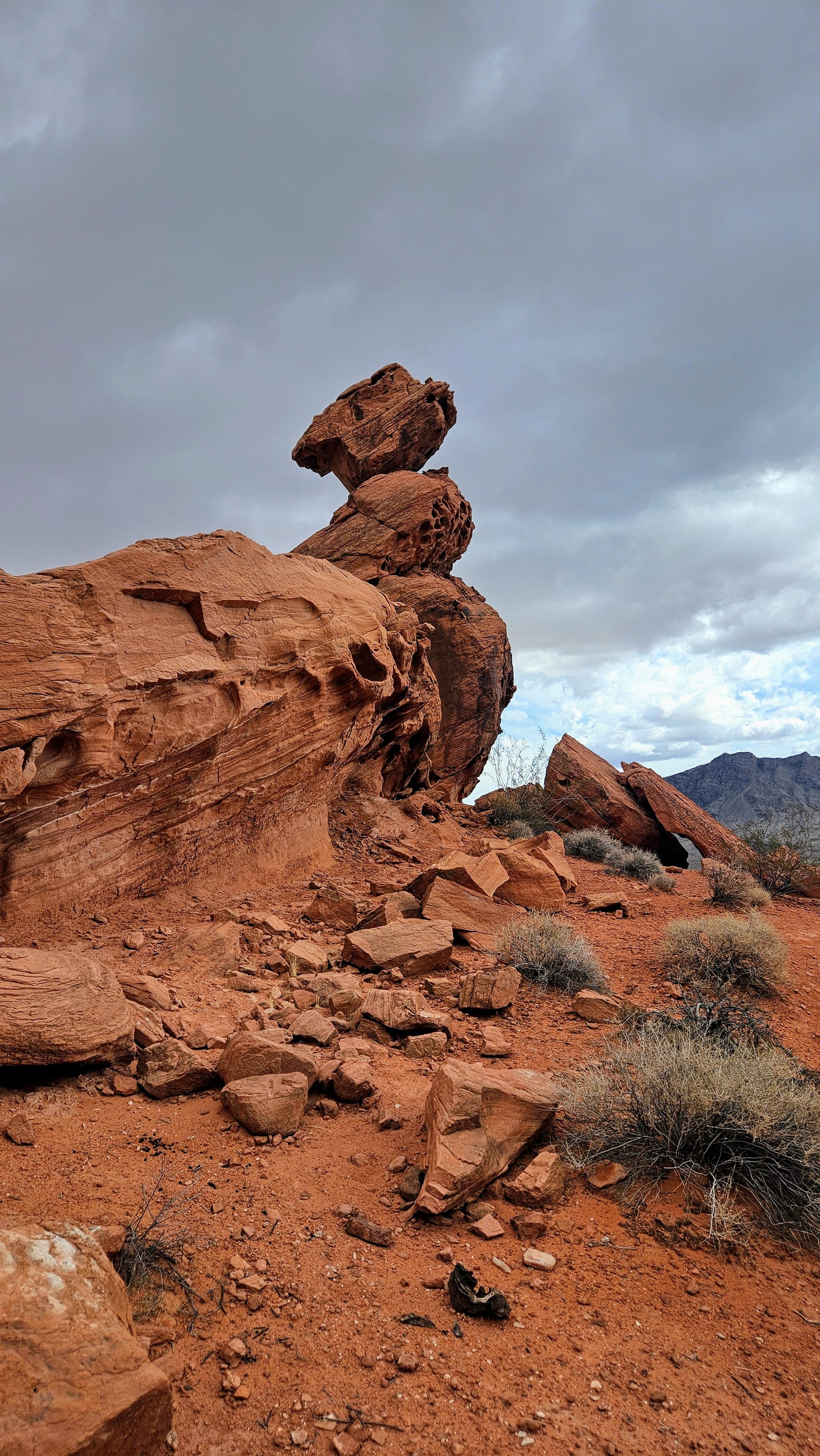
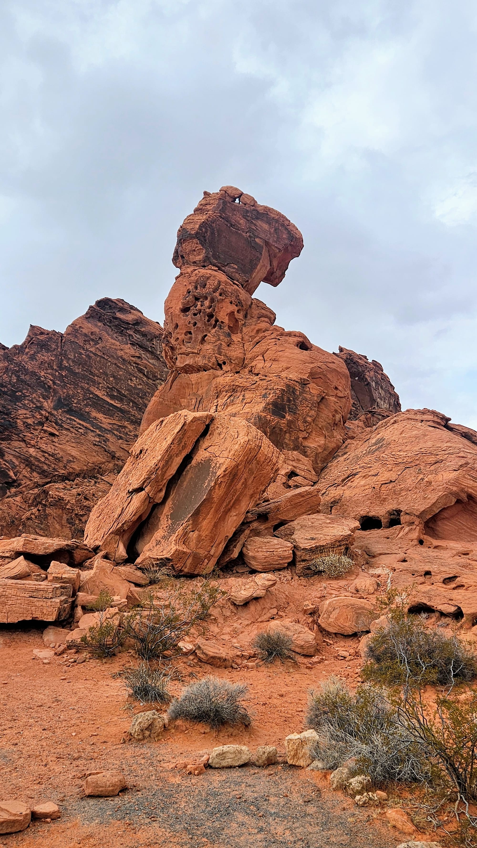
Arch Rock Campground is one of two campgrounds at the state park and is named for the nearby Arch Rock, one of many sandstone arches that can be seen in the park. We actually had a small arch visible right from our campsite, but this was not the namesake feature. After settling in, we drove to the actual Arch Rock, which can be seen from the loop road that leads to the campground. Personally, we were more dazzled by the giant rock in the middle of the campground that looks like a dog. We don't know if it has a name, but we called it Dog Rock.
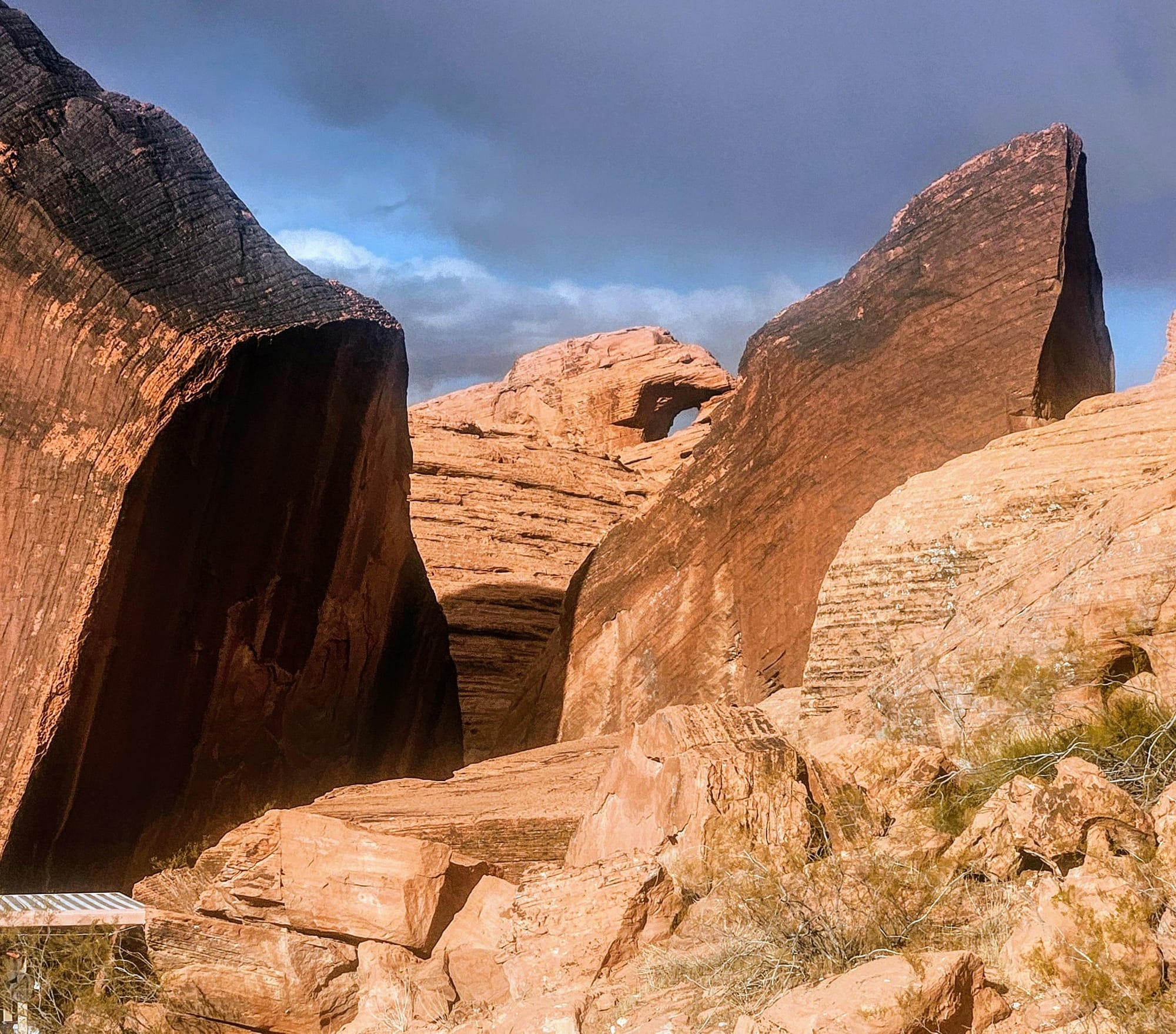
The small arch visible from our campsite
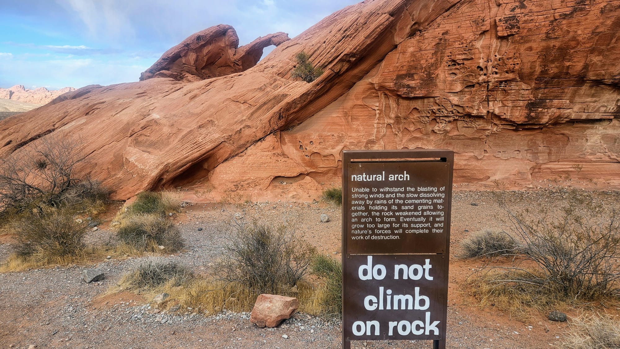
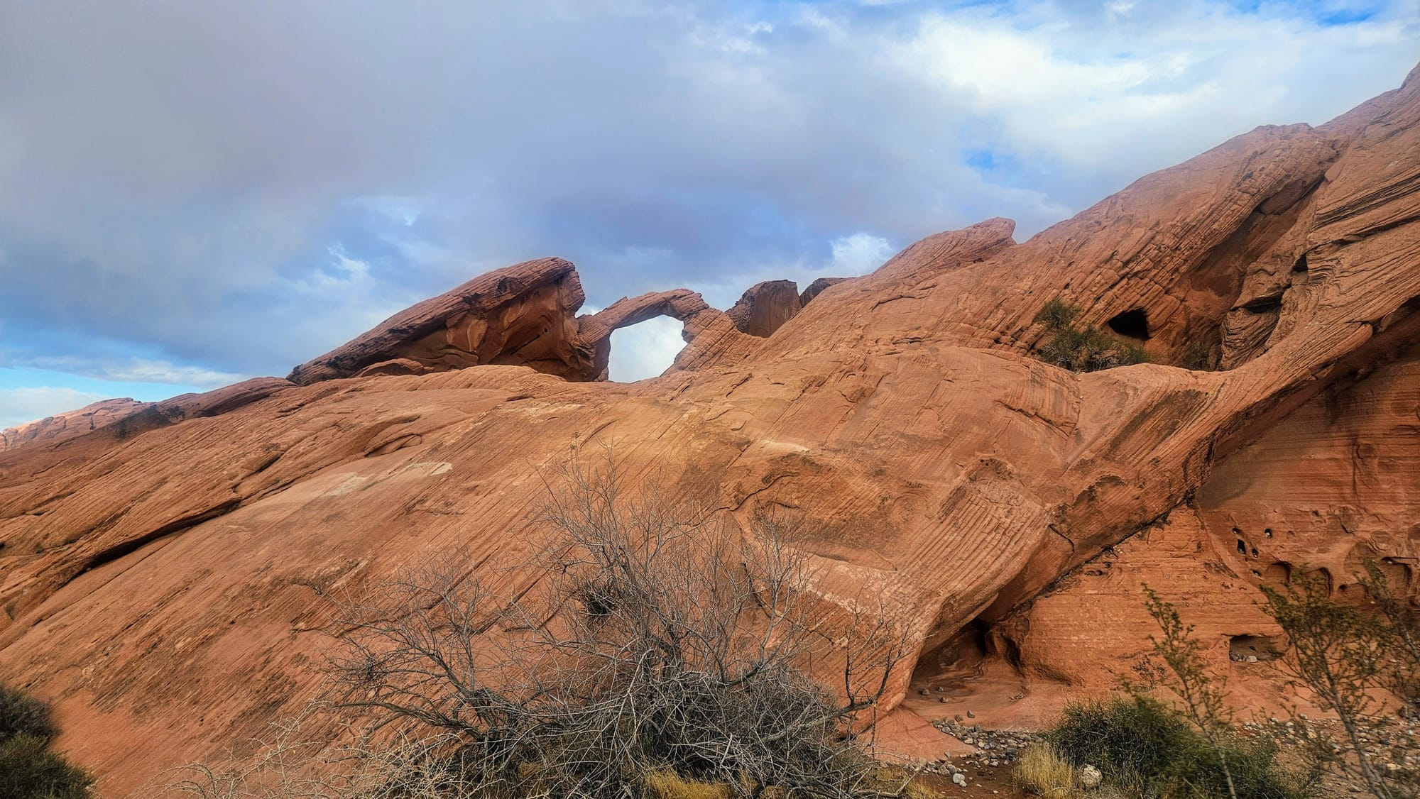
The actual Arch Rock, namesake of the campground
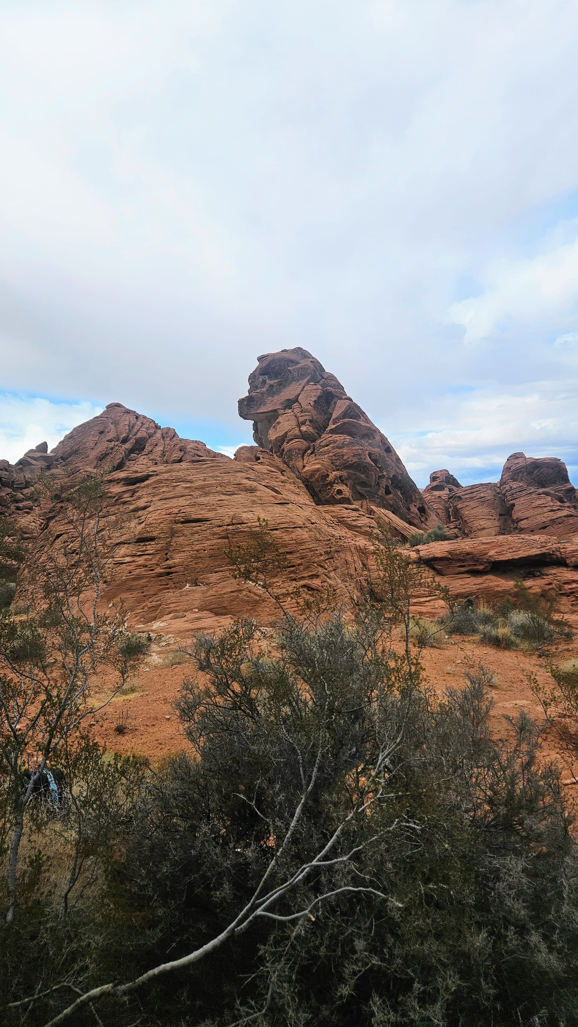
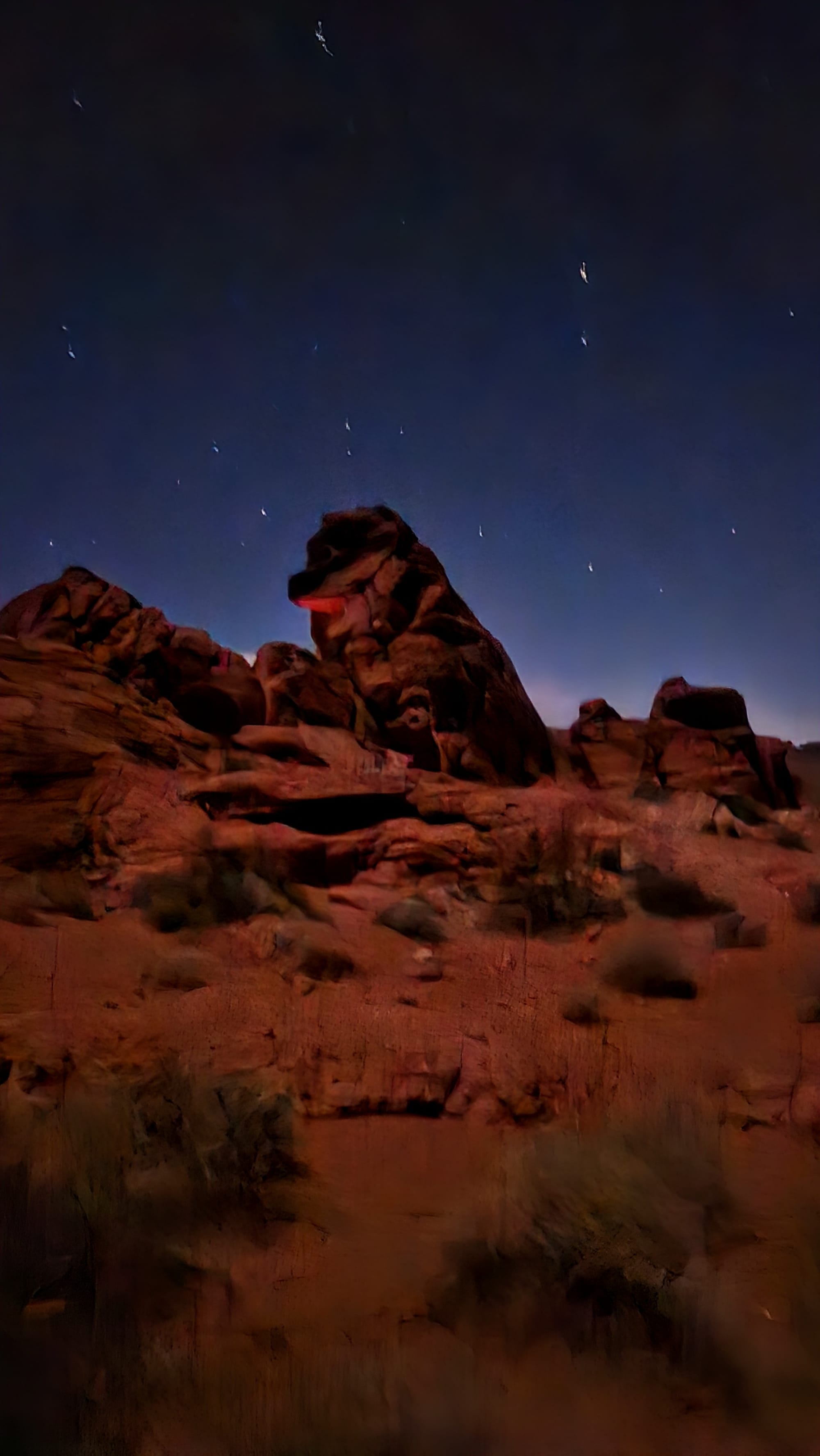
"Dog Rock"
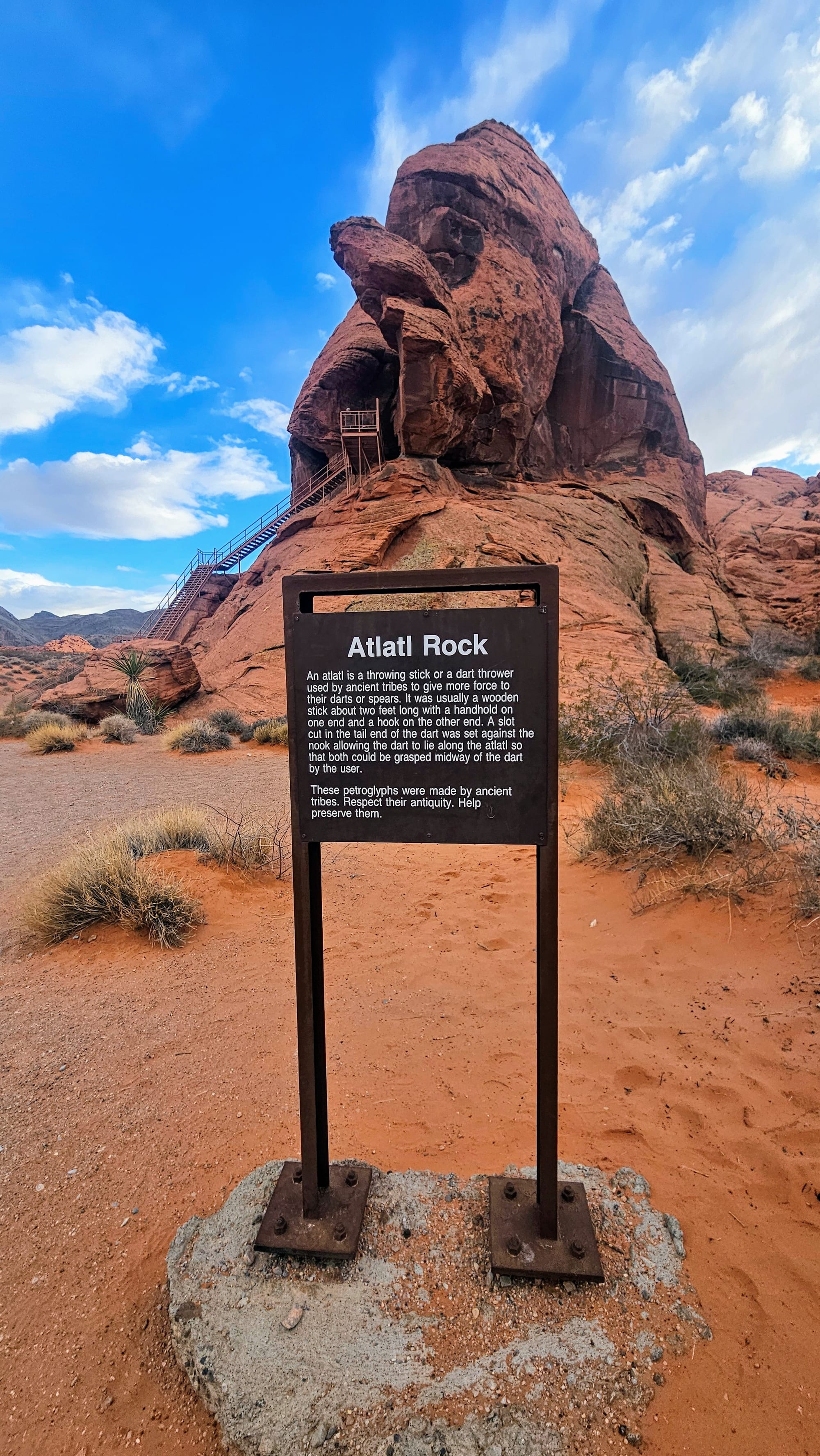
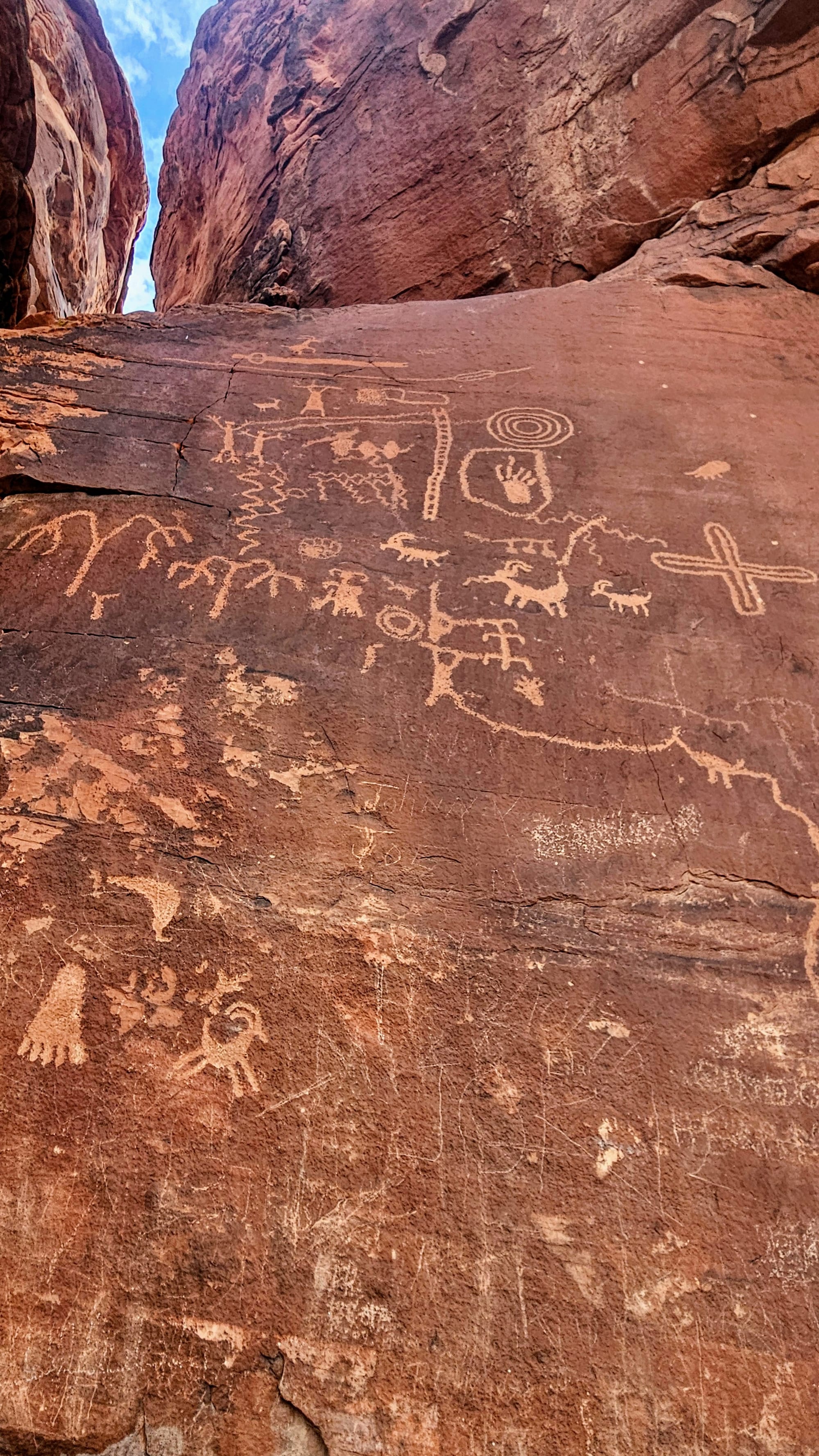
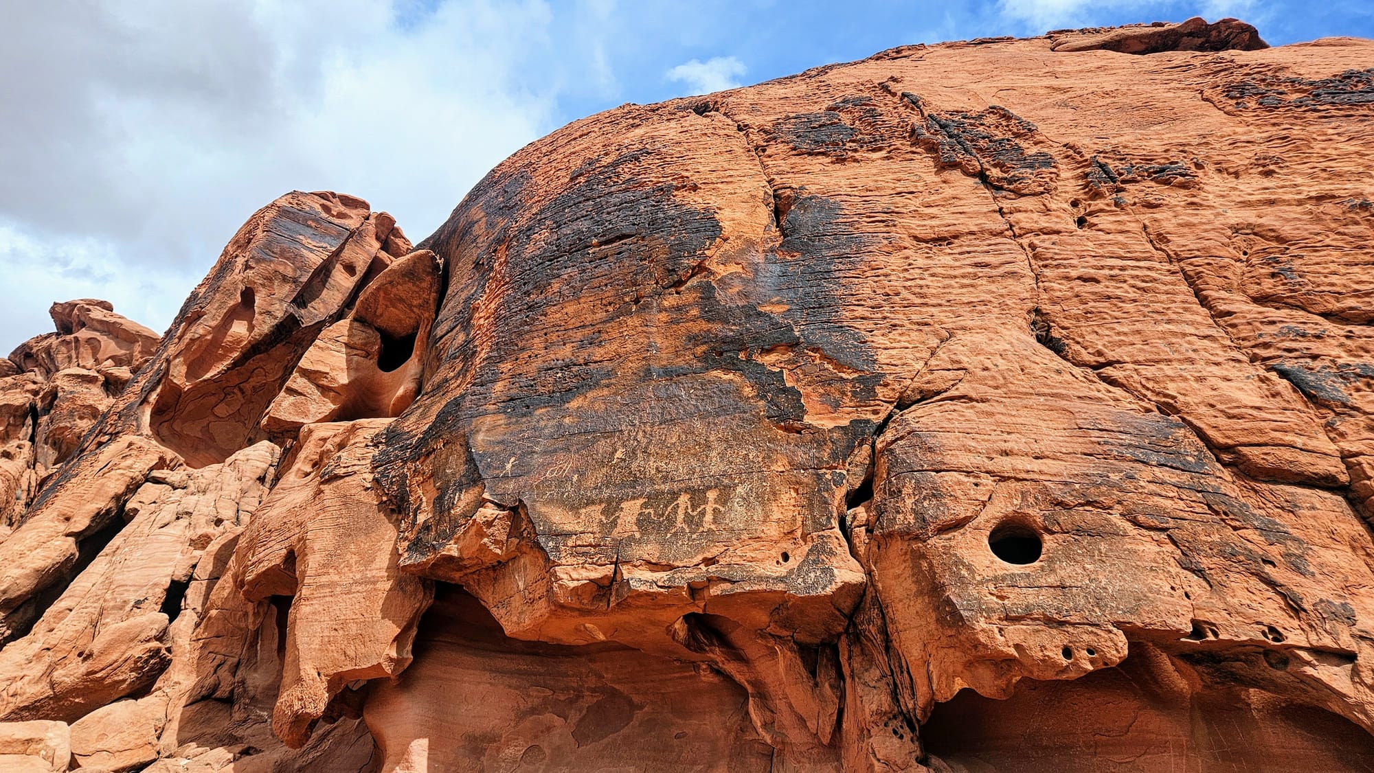
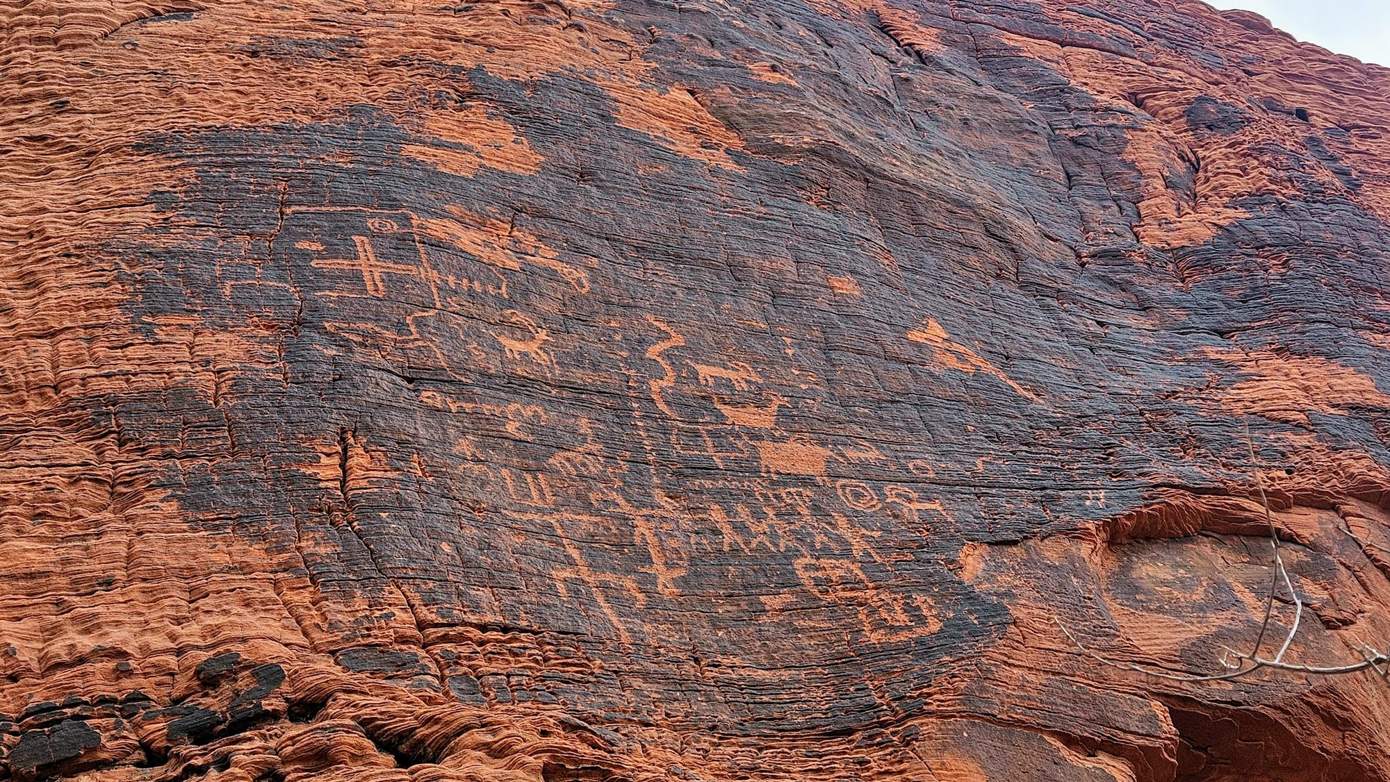
The other campground, Atlatl Campground, is named for the nearby Atlatl Rock. Atlatls are Native American spear-throwers, and the namesake rock displays several petroglyphs, one in particular that depicts a Native holding an atlatl. This rock is also on the scenic loop road by the campgrounds, and you need to climb a set of 84 stairs to see the petroglyphs. Yes, we counted them for you. Absolutely worth the climb, if not for the petroglyphs, then for the views.
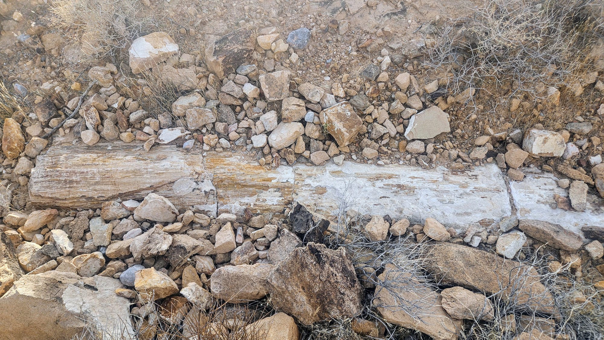
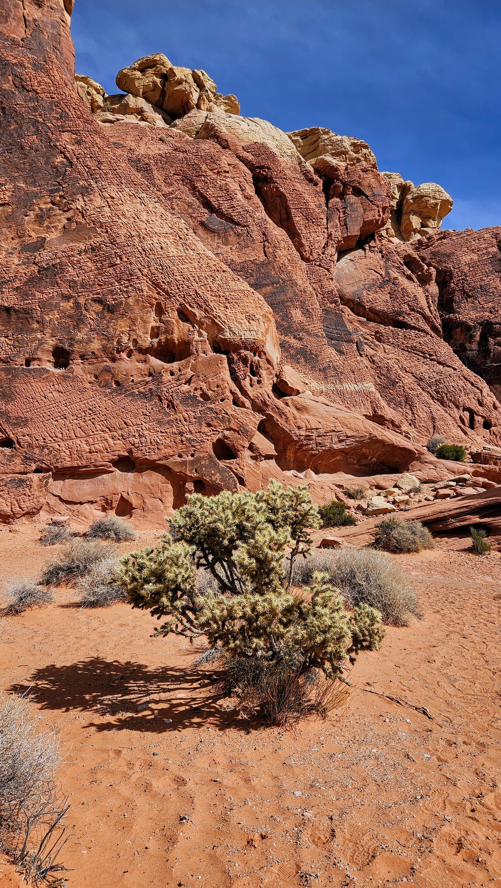
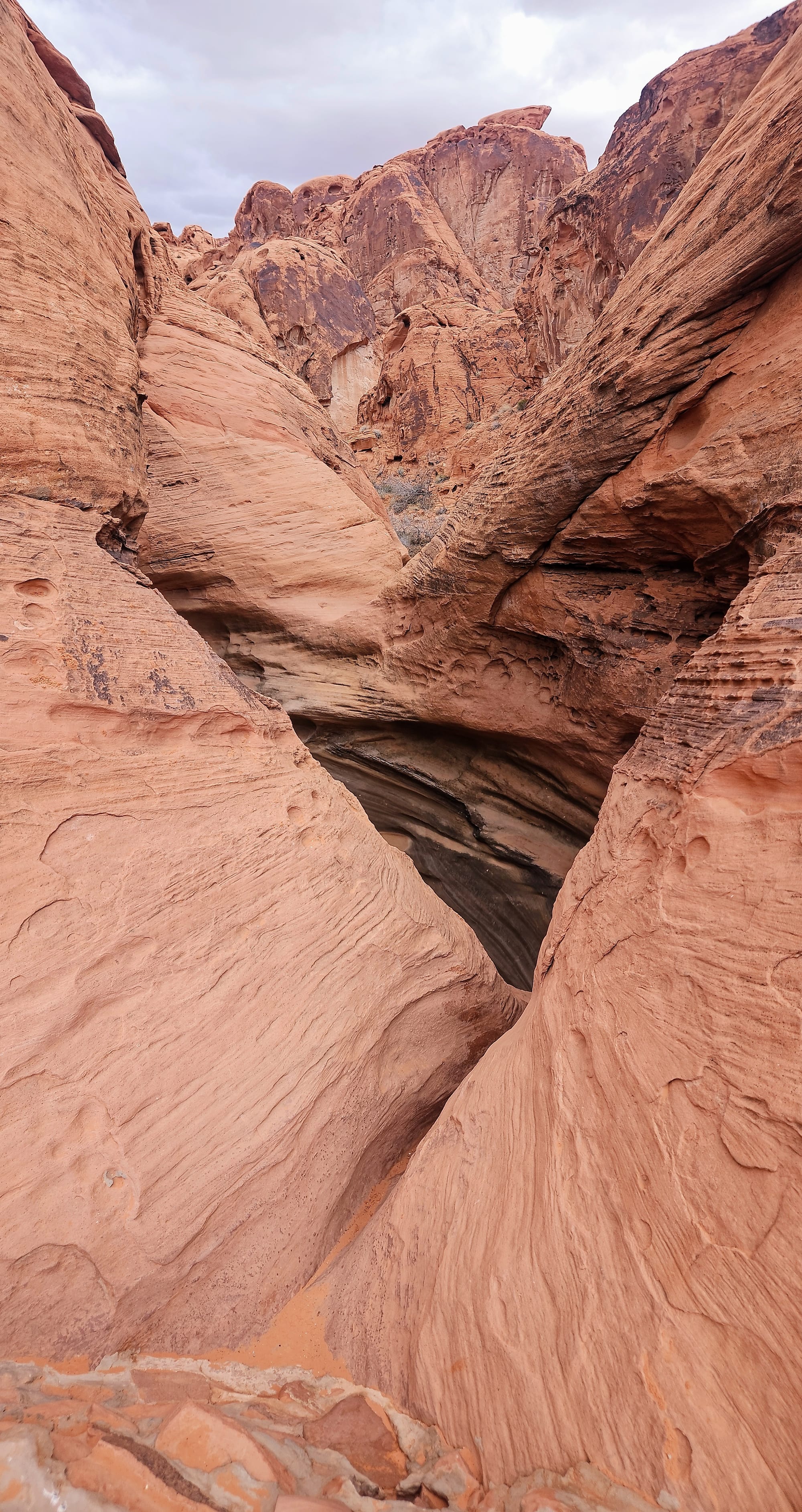
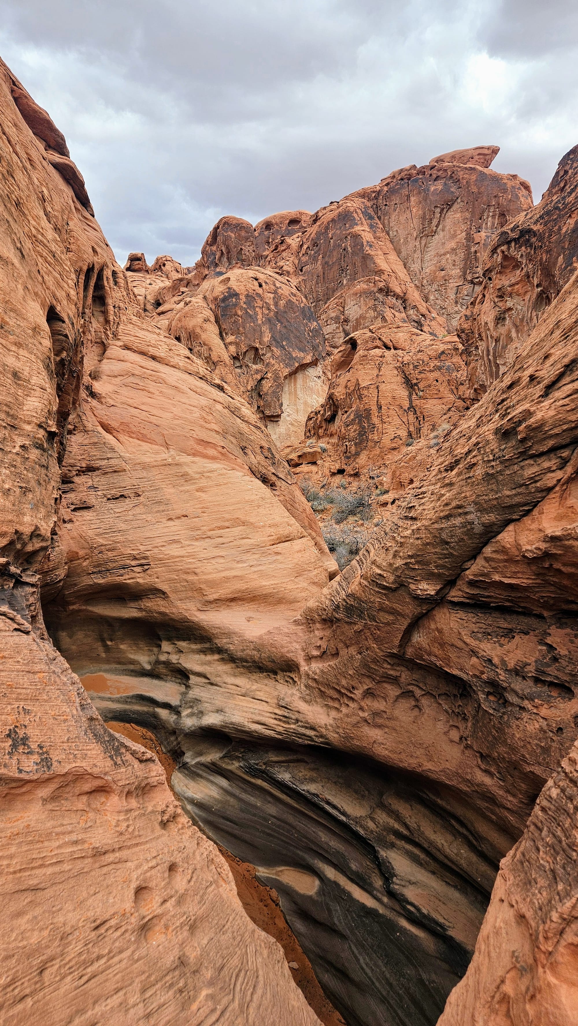
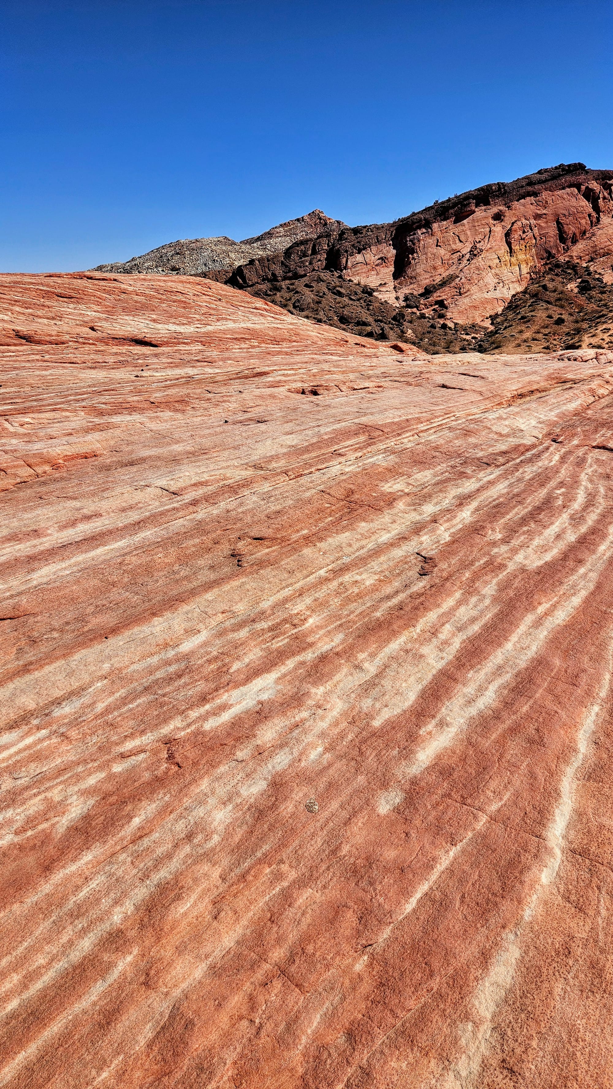
We explored Arch and Atlatl Rocks right after settling into our campsite. Time-wise it made sense to stick closer to our campsite to start, but there was actually a ton to see in the general vicinity. After seeing the rocks, we left the scenic campground loop and drove across the street to one of two places in the park where petrified logs are on display. These logs were from pine trees from 150 million years ago that were buried underground. Ground water deposited various minerals into the wood, filling microscopic cracks in the bark. The minerals oxidized, giving color to the logs. The logs are all gated off for preservation, and it is a short hike to see all of them. Be sure to not just look at the logs, though, because the views here were gorgeous.
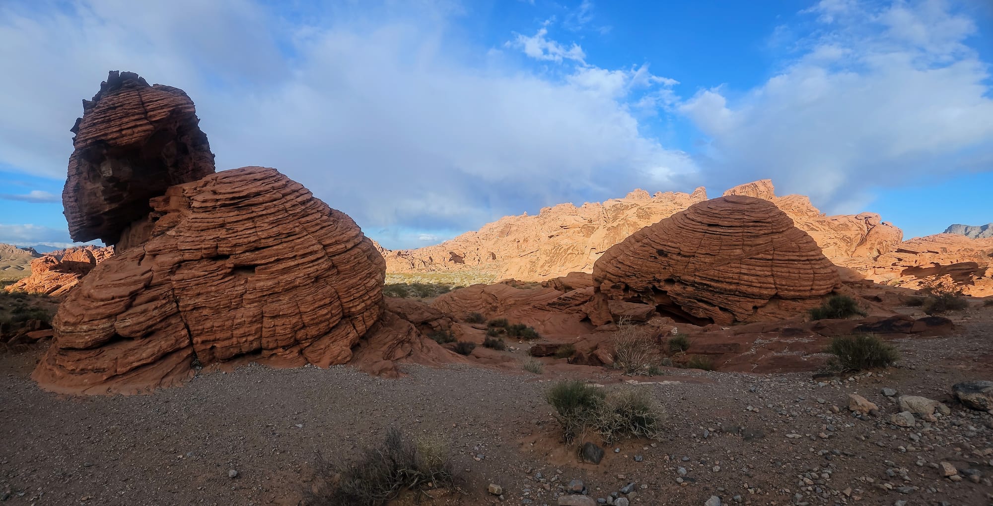
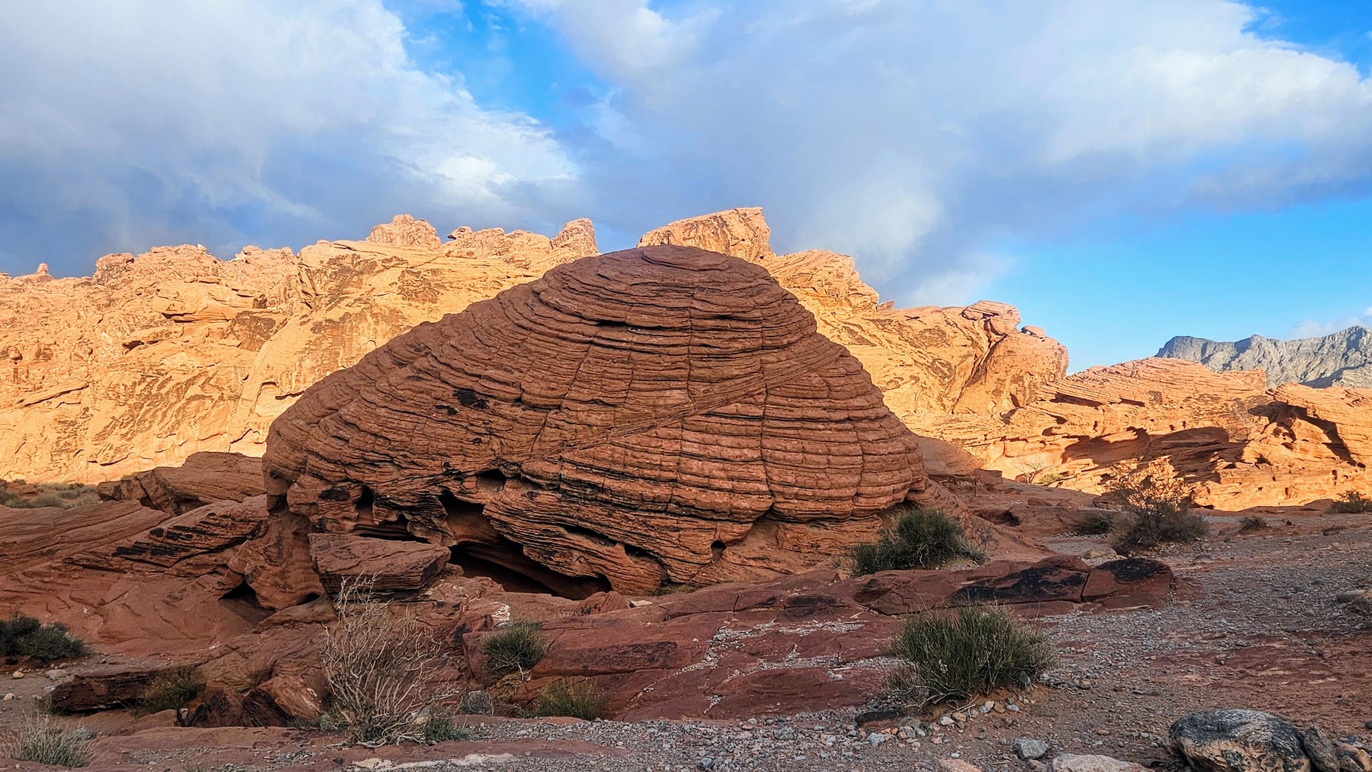
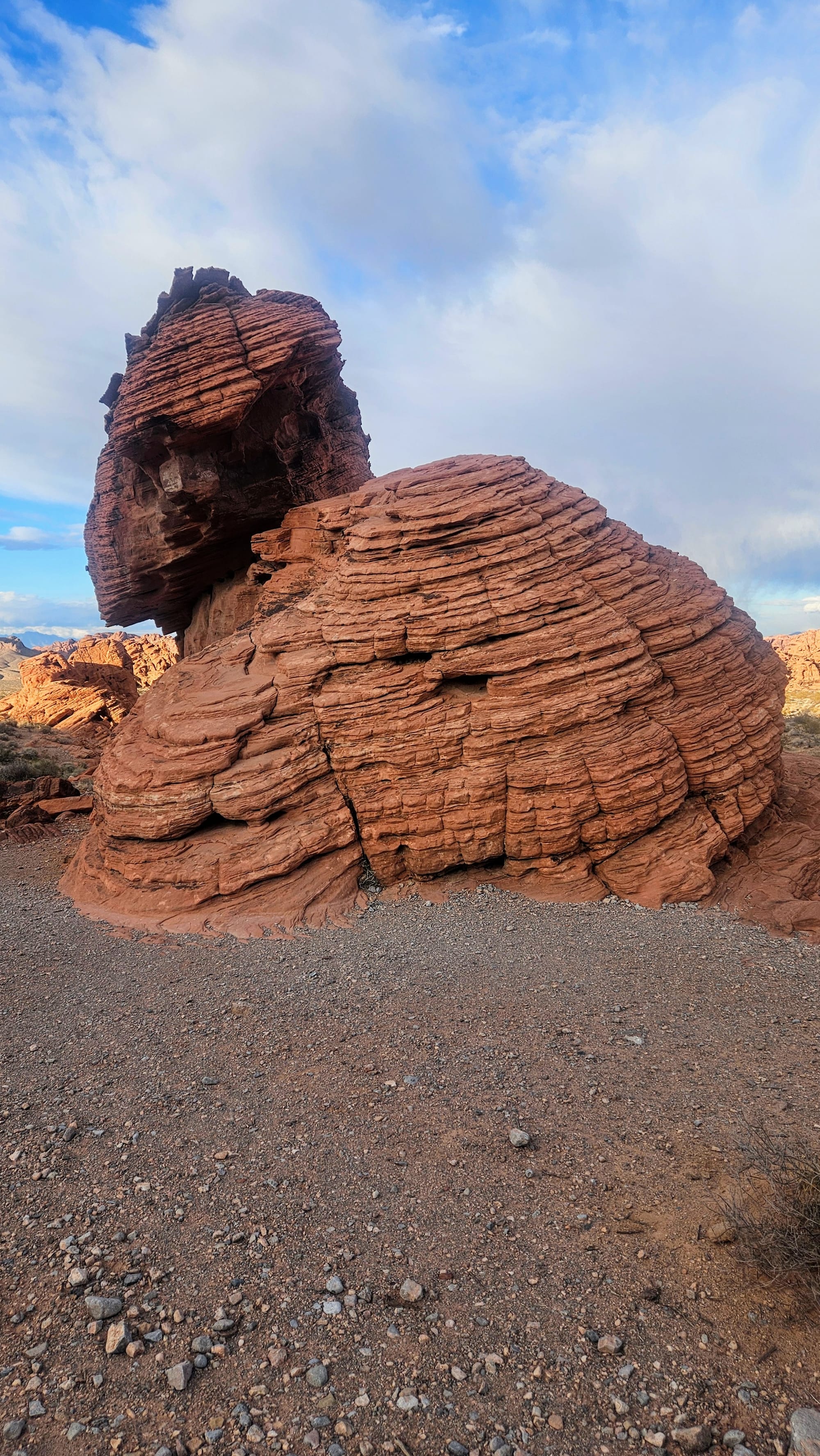
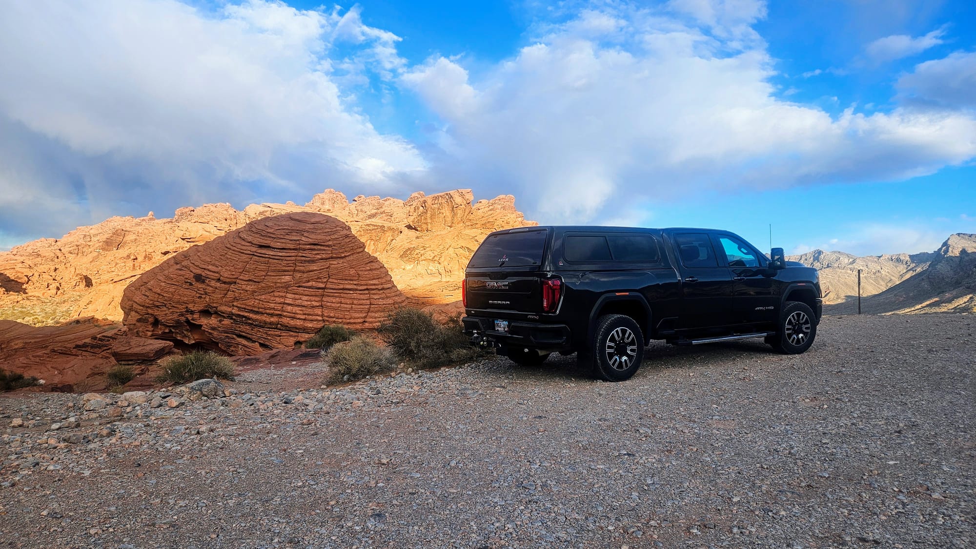
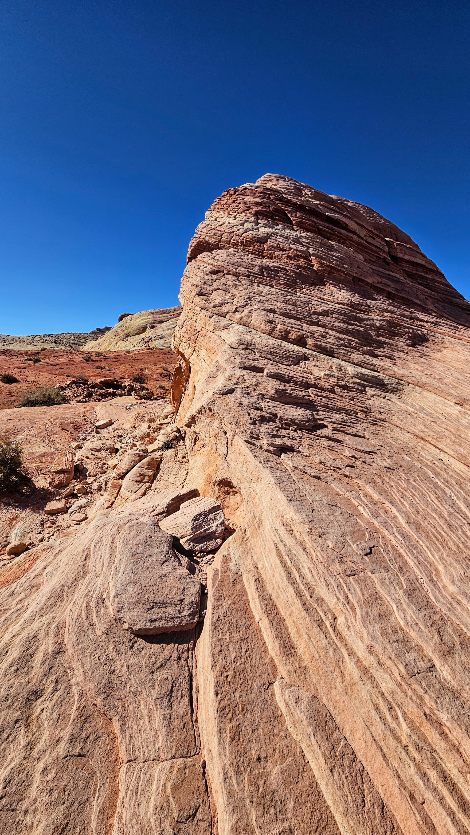
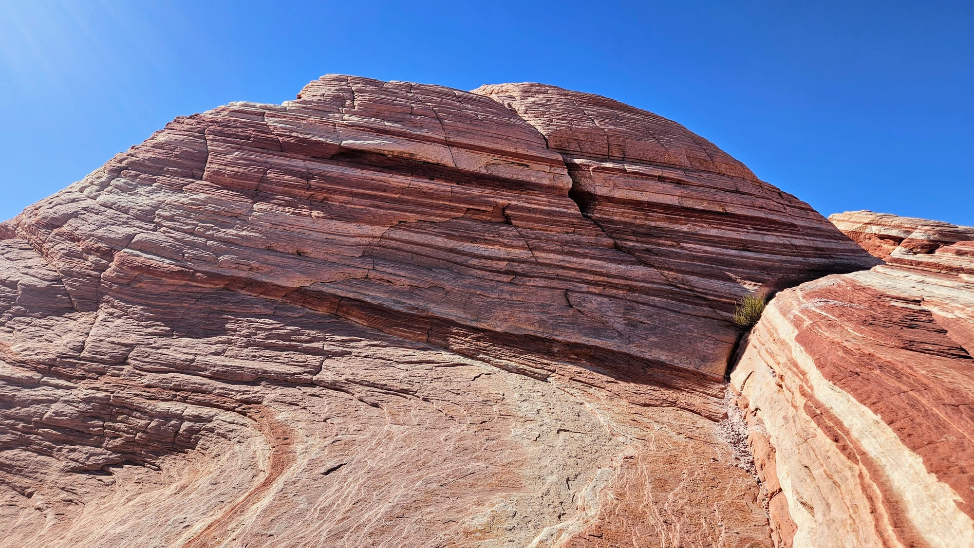
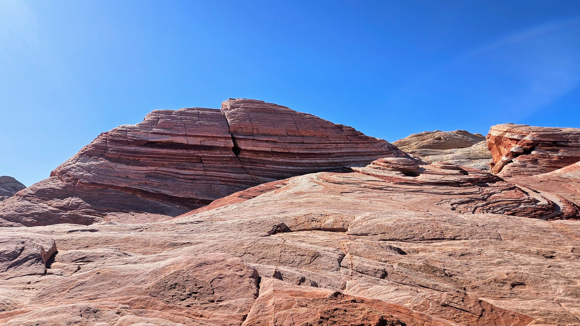
Our final exploration of the day led us up the street to the Beehives. These formations show how the environmental elements affect the soft sandstone. The beehives have grooves in varying directions, indicating the angle wind or water was moving at the time, depositing silt into the rock. This is an example of geologic cross bedding, which illustrates the different times the silt was deposited, based on the direction of the grooves.
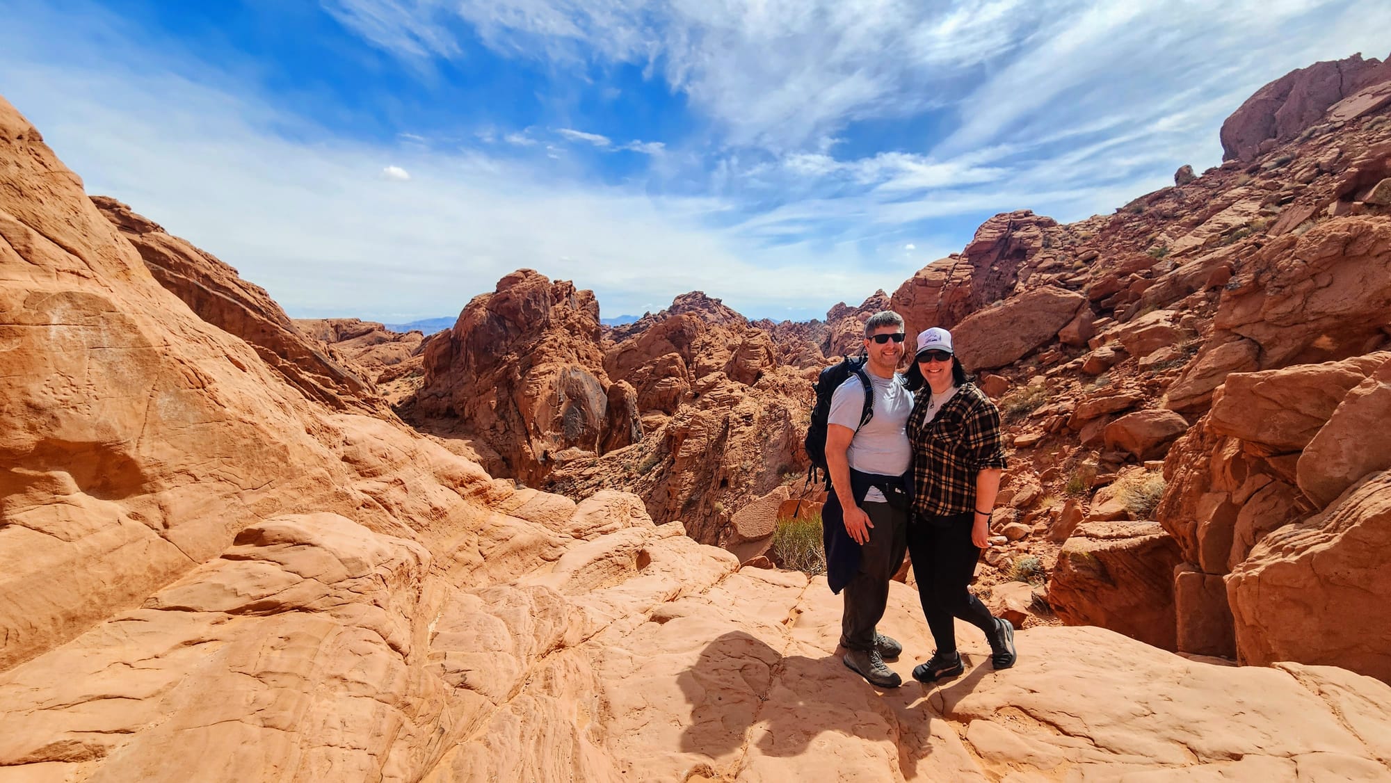
With our day of exploration complete, we made plans to spend the next two days on some of the hiking trails. When we arrived to the state park entrance gate, we were given a pamphlet that outlined several of the trails in the park. All of them are fairly short and easy, and they offer a wide array of vistas and geologic features that the park is known for. They are also all accessible from the road by the visitor's center.
On our second day at the park, we started by driving to the Fire Canyon/Silica Dome Overlook and then backtracked for hikes on the Rainbow Vista and Mouse's Tank trails.
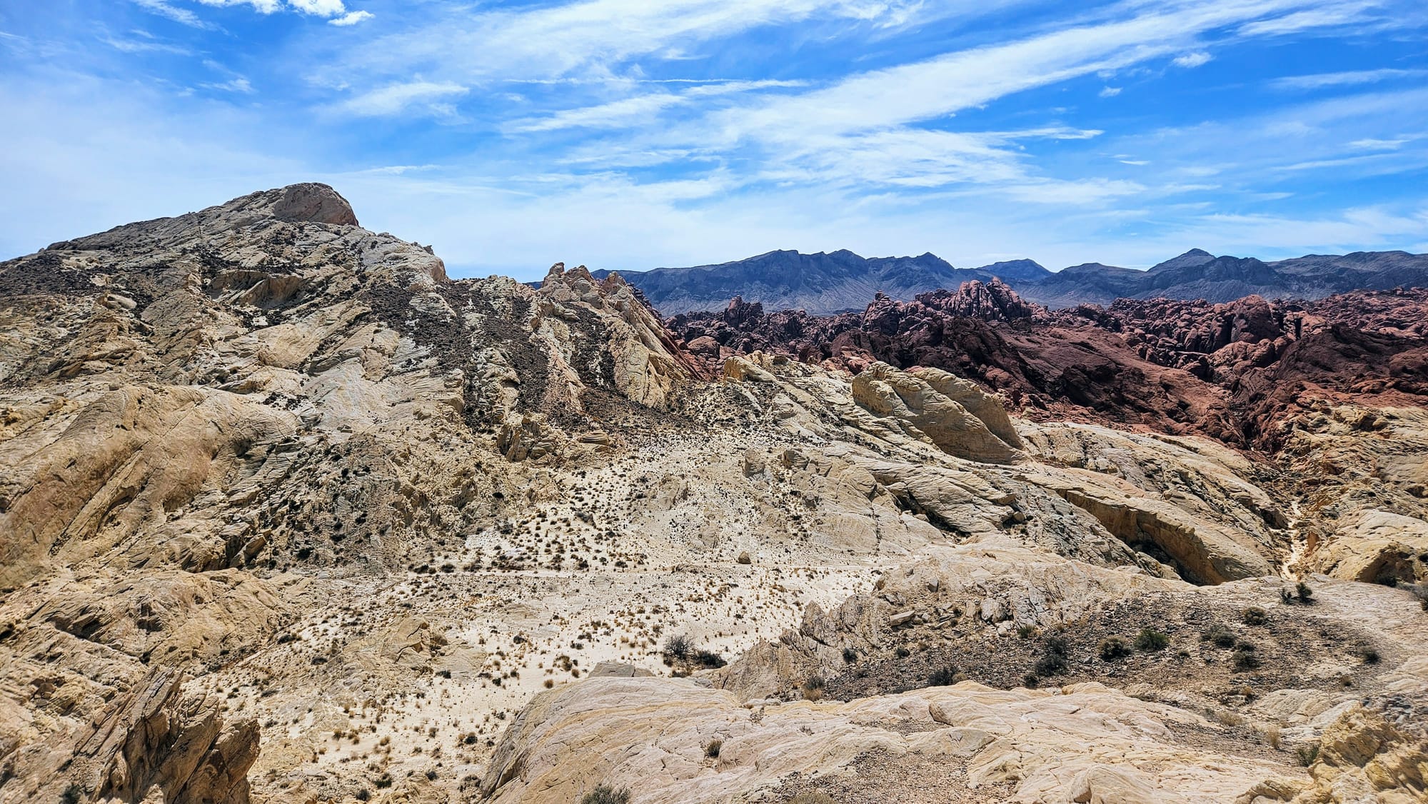
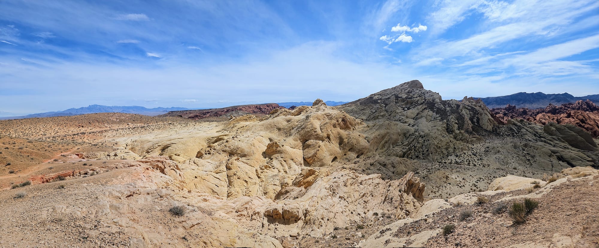
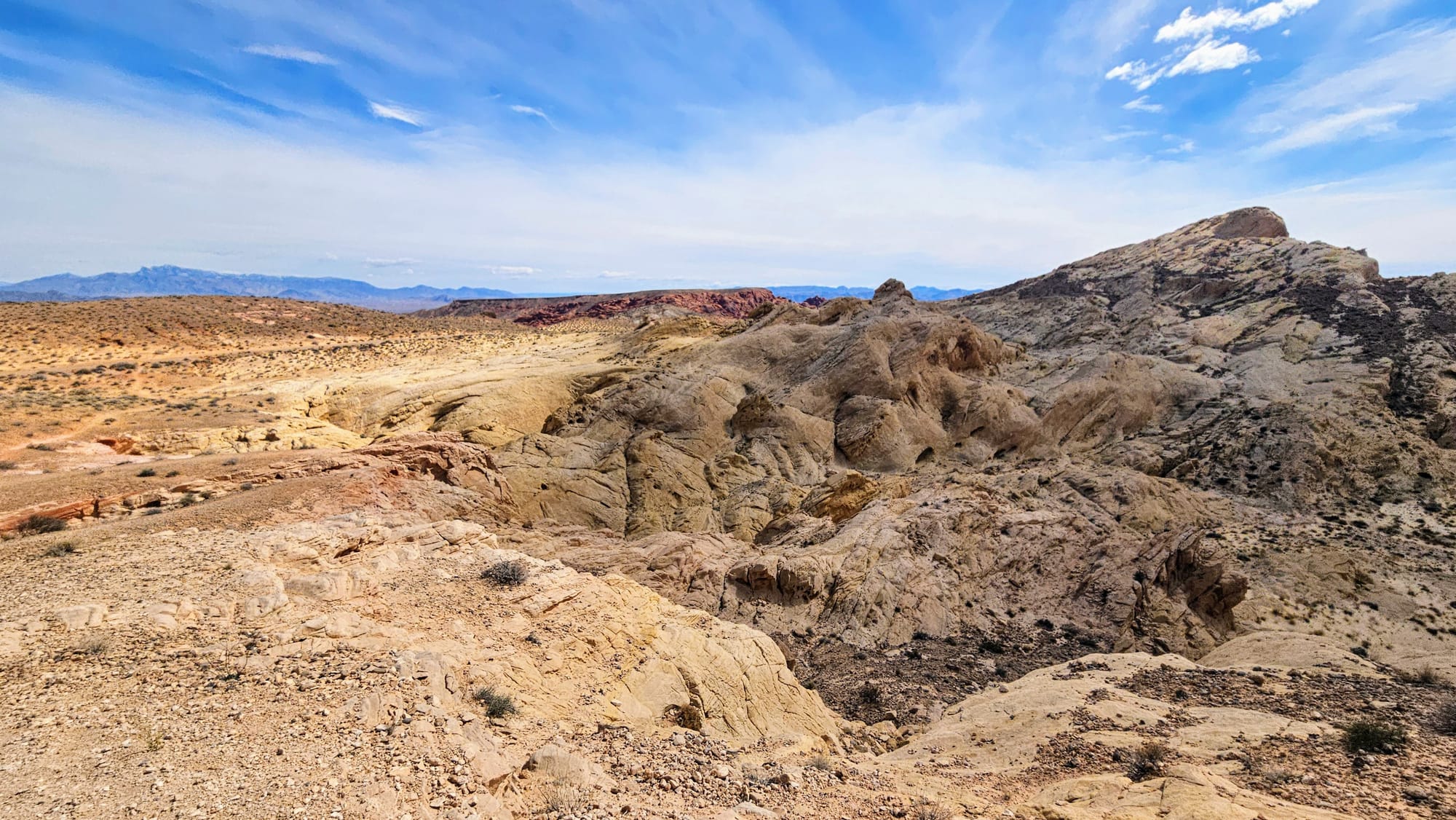
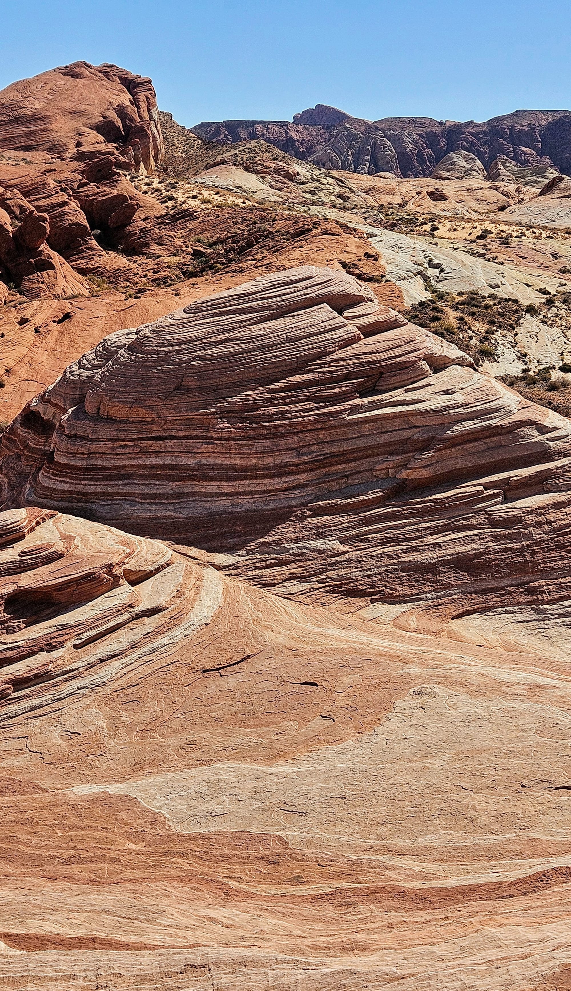
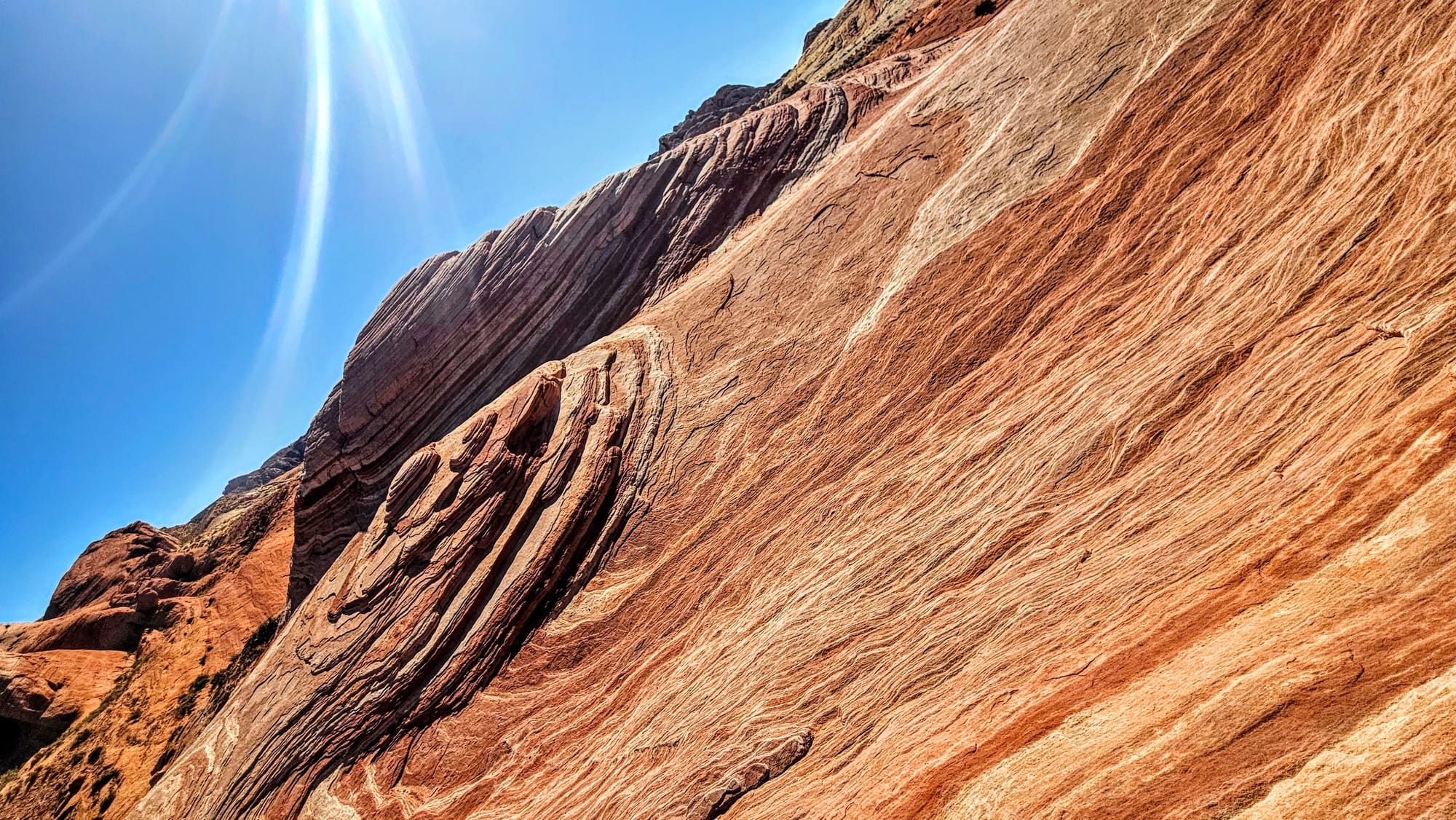
Fire Canyon/Silica Dome overlook is named for the two prominent features of the overlook. Silica Dome showcases the silica-rich sandstone found throughout the park. The silica makes the rocks white, whereas iron turns the rocks red. Look down at the overlook and you will see Fire Canyon. It's...a canyon. We'd love to say more than that, but unfortunately a group was hogging the overlook with blatant disregard for those of us waiting to see it, so we didn't get a great look. One thing was for sure, though. If these were the views we'd be in for on our hikes, we were going to have a scenic day.
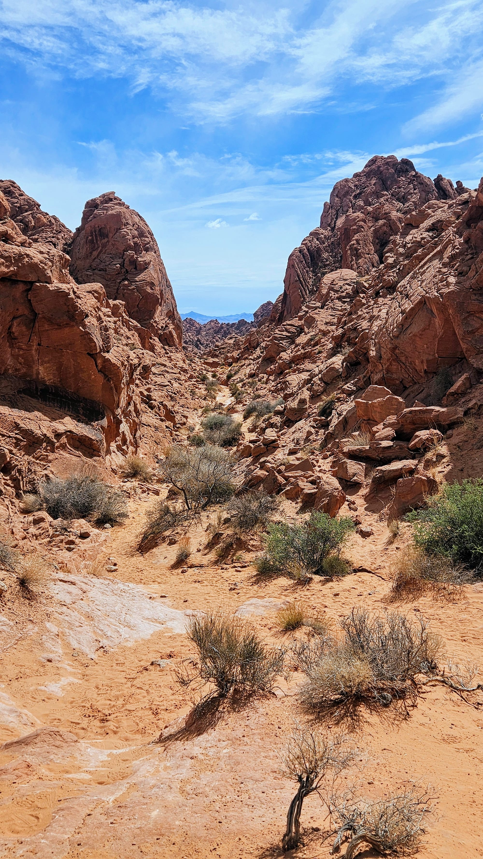
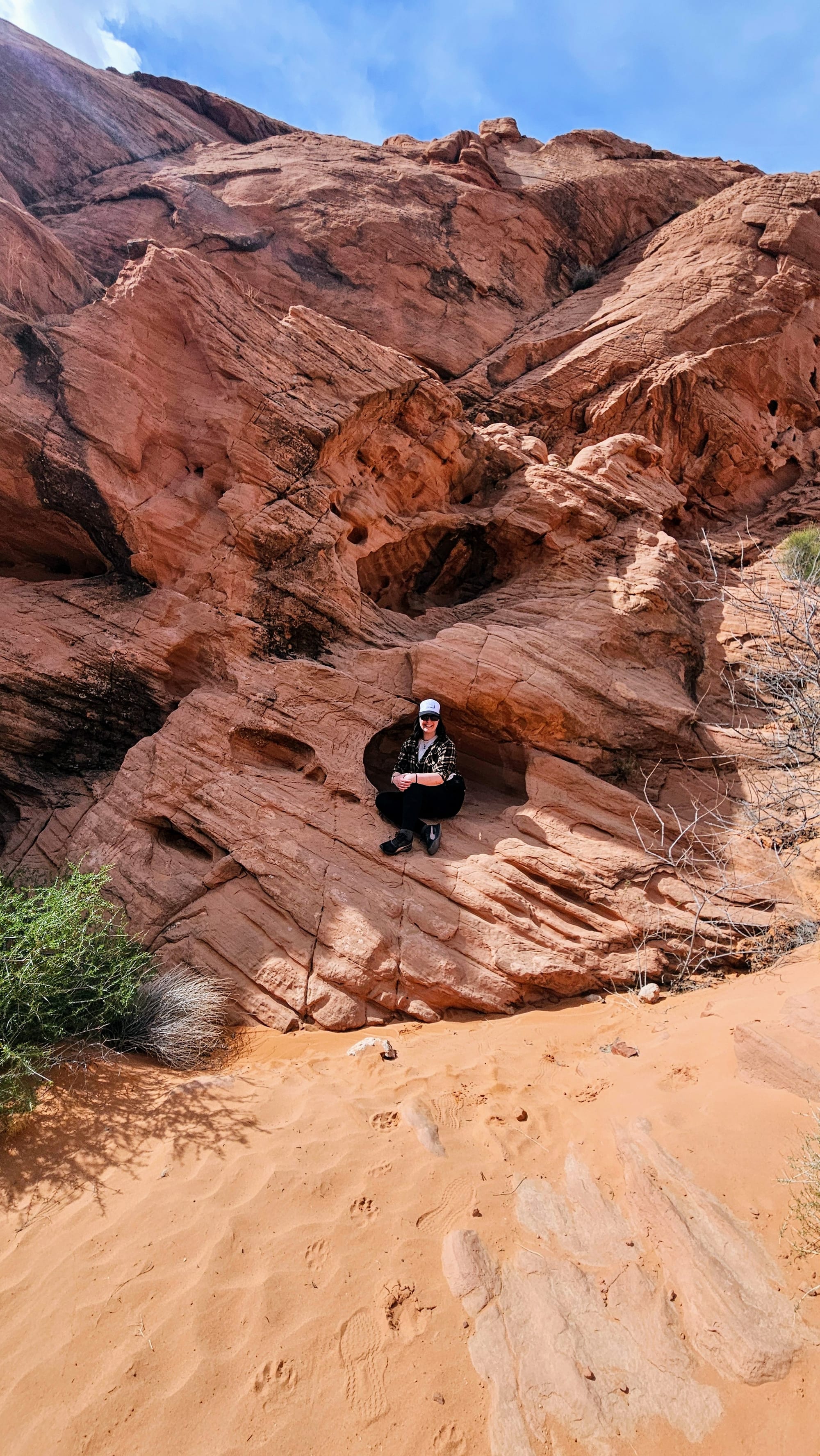
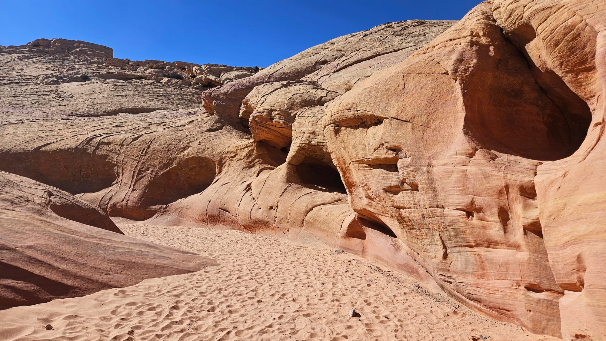
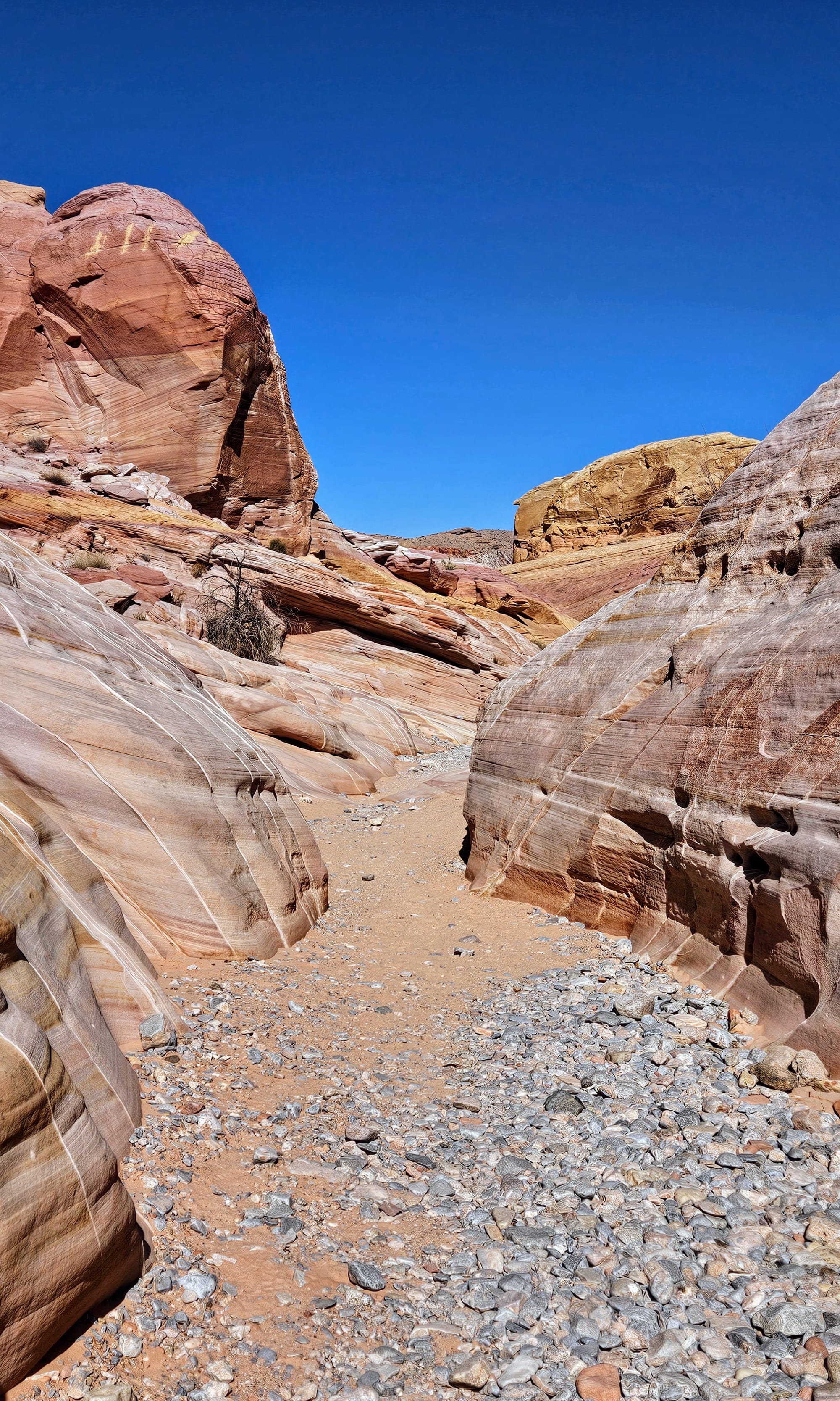
Rainbow Vista Trail is 1 mile out and back, which takes hikers to a canyon vista. While the trails are easy, the park warns that the distance might seem longer than written. We assume this is to do with the heat/sunshine and the sandy terrain. The best way to traverse these hikes is to take your time. There is so much to see with the views, rocks, and plants. It's an explorer's paradise. We especially felt this way with our next hike, Mouse's Tank. This .75-mile out-and-back trail has some of the best petroglyph displays we've seen anywhere. Then at the end, we got to marvel at a natural water tank, which is a sandstone basin that holds rainwater. We saw lots of visitors climbing the rocks along this trail, which is technically allowed as long as you follow certain etiquette. Do not touch the petroglyphs or climb on arches. If the ground is covered in a dark crust, this means that microorganisms are living there and we should not disturb this ground.
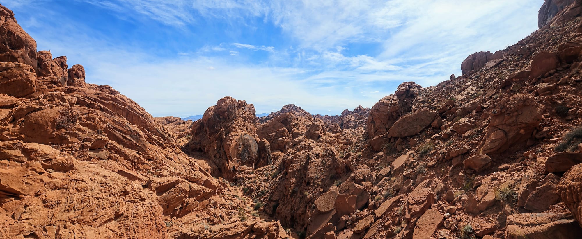
Rainbow Vista Trail
Mouse's Tank Trail
On our way back to the campground, we stopped for some extra steps at Balancing Rock Trail, which leaves from the visitor's center parking lot. There isn't much more to see that can't be viewed from the road, but we were able to see the namesake rock formation from various angles.
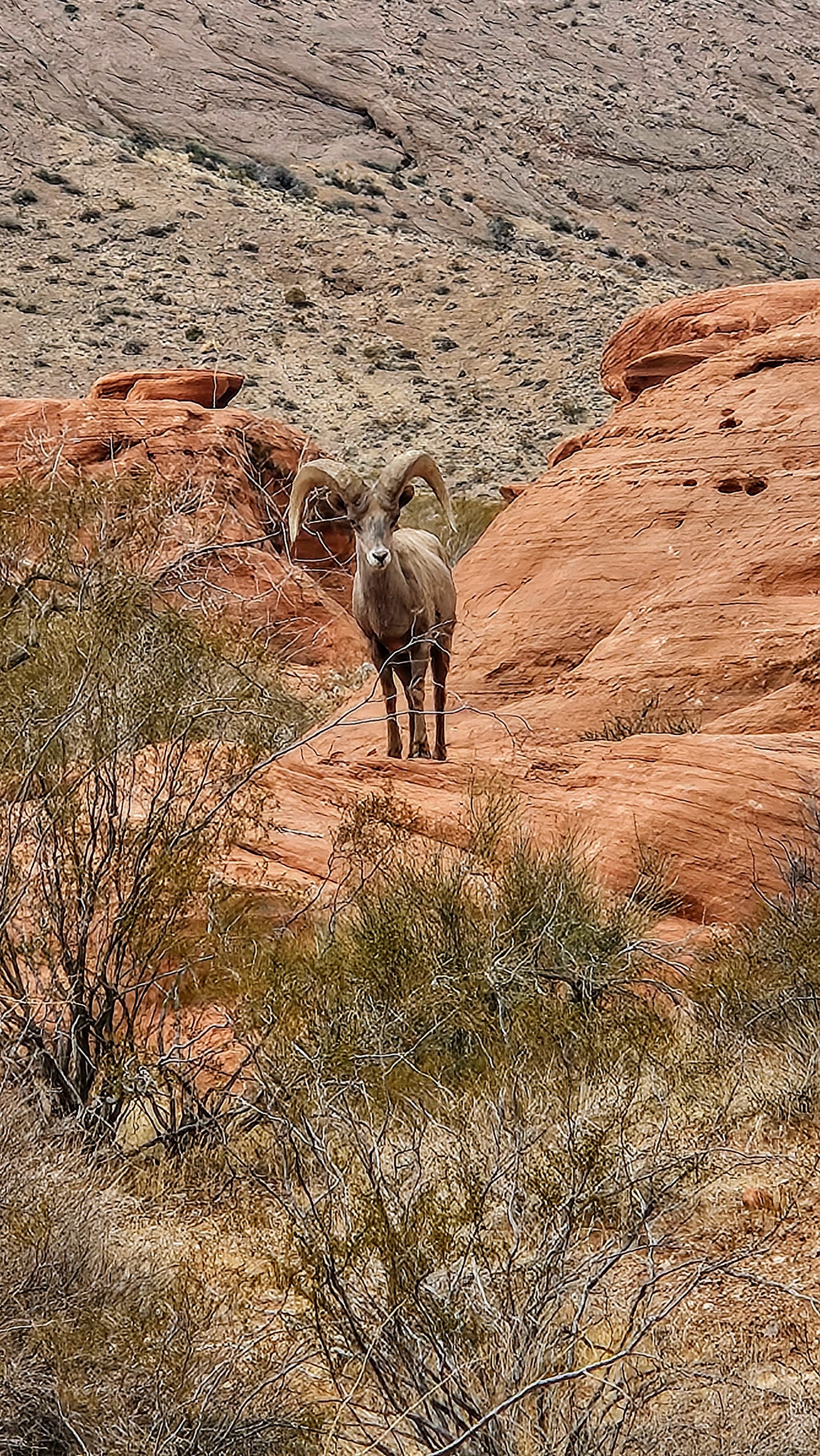
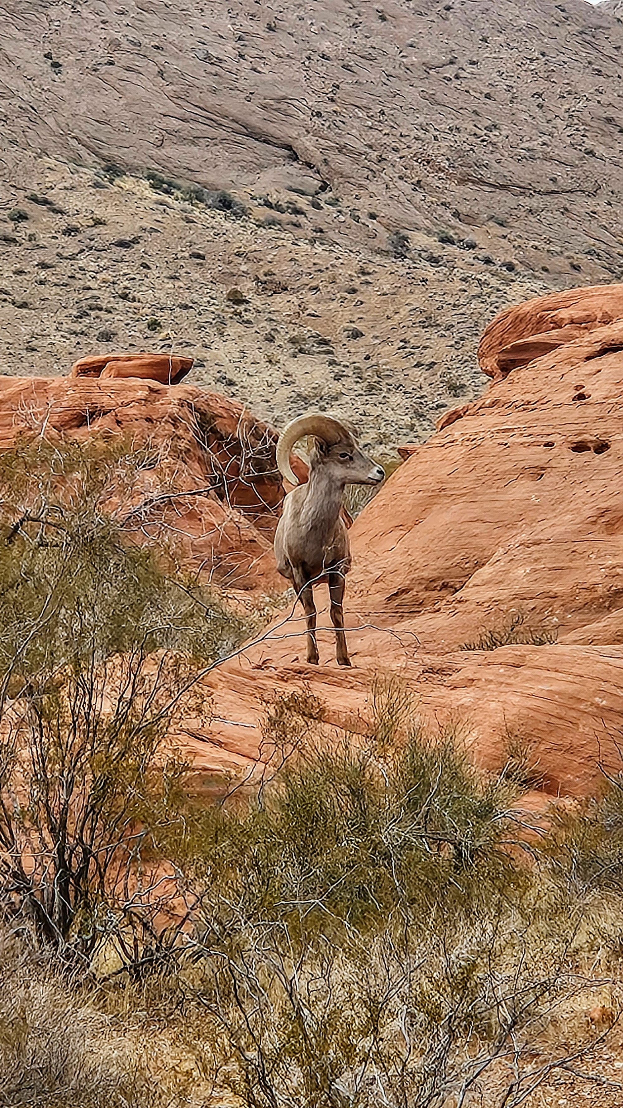
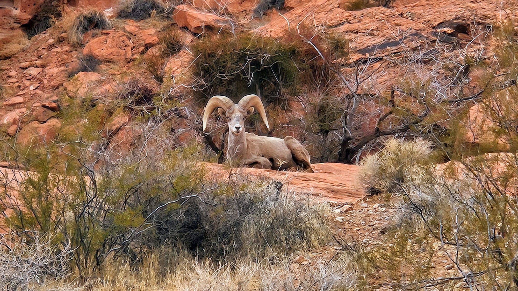
The views are great, but what made our day extra special, was getting stuck in a bighorn sheep jam! On our way back from our Mouse's Tank hike, we got stopped waiting for a family of sheep to cross the road. Given how insanely difficult it was to spot a bighorn our last time out west, we were pleasantly surprised, especially because it was a tad early in the season to expect lots of sightings. That wasn't all, though. We also had a visitor hanging out at our campground when we got back.
Our final full day at Valley of Fire was on a Saturday, so we knew we'd be facing some crowds on our hike. We chose to venture further up the road to a trail that has more space to spread out, Fire Wave. This is arguably the most photographed feature in the park, as the formation has unique red and white stripes that resemble a wave ebbing and flowing out of the rock. As we ventured north towards the trailhead, we noticed more mixing of the silica and iron, which creates these striations. The hike out-and-back to the Fire Wave is 1.5 miles, but we could choose to do a 1.8-mile loop on the Seven Wonders Trail, which would take us through some canyons, including Pink Canyon, known for its pink sandstone. This was our plan, but after hiking through Pink Canyon, we thought we had made a wrong turn. All of the trail posts stopped before the canyon, and we didn't have our map and forgot the trail crossed the road and looped around to the backside of the parking lot. Just to be safe, we turned around and went out the way we came in. We don't know what else we missed on the trail, but we think we went at the wrong time of day. The features were nowhere near as vibrant as we've seen in photos. While this could be due to photo editing, I read that Pink Canyon's colors can be washed out in the daylight. I imagine this is the same for Fire Wave. In retrospect, it would have been nice to do this hike later in the day anyway. The sun was beating down on us with a vengeance, and I started getting a headache, despite only hiking for 2 miles and wearing a hat. Even still, we're glad we saw these features, because they truly are some of the more unique in the park.
While we didn't get a chance to do everything we wanted to, we felt like we packed our days with the excursions that gave us the best sense of the geology of the park. Now that we have visited this place that came highly recommended, we absolutely will pass on the recommendation to others. Valley of Fire State Park is just as special as people say. It's rich with history and the landscapes are spectacular. Our love for the state of Nevada keeps growing, and that certainly fires us up to visit here many more times in the future.