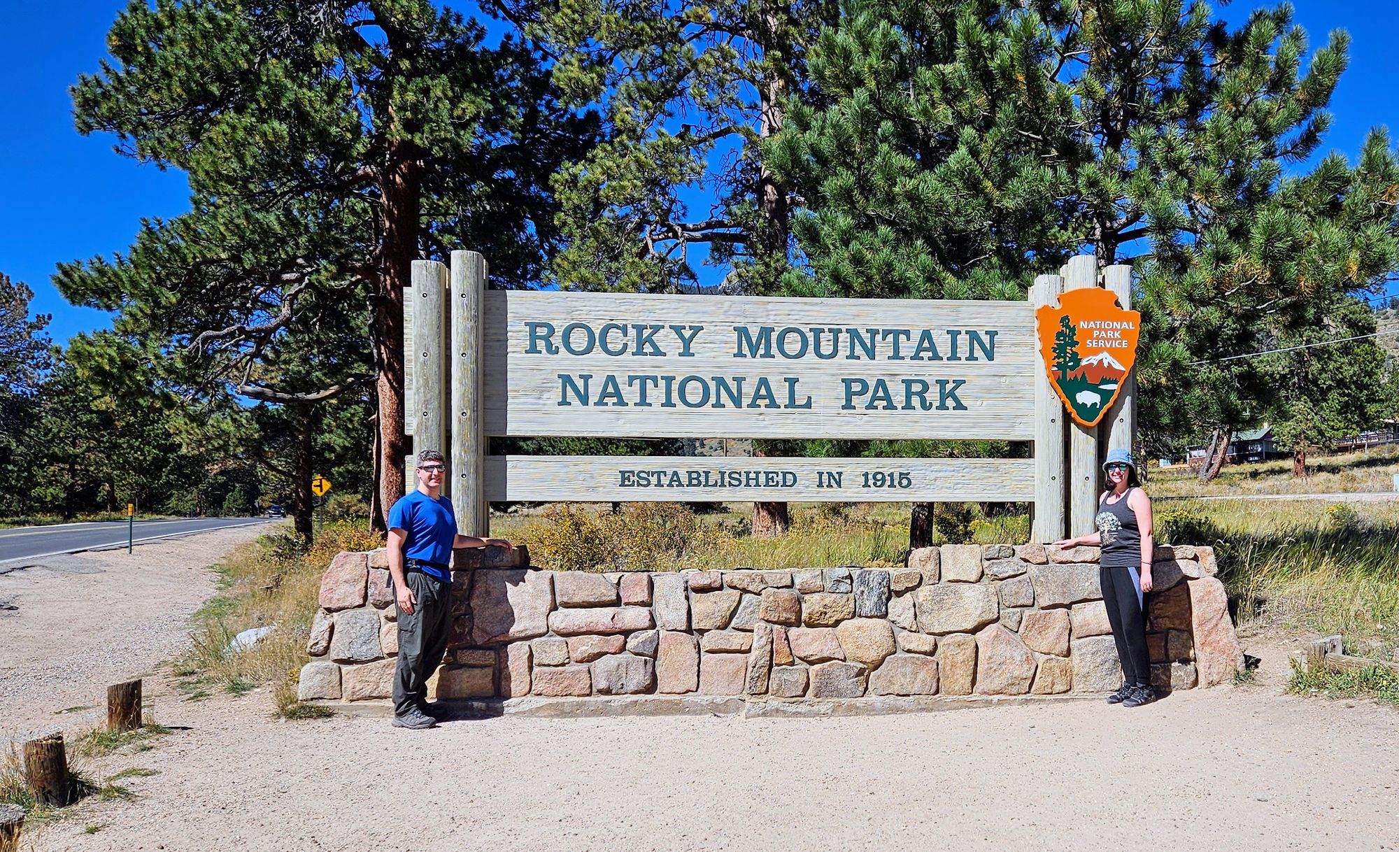
Turning dream into reality at Rocky Mountain National Park
Despite having a less-than-optimal day getting our trailer back, we were able to stick with our plan to head up to Rocky Mountain National Park, somewhere we had been looking forward to visiting for a very long time. Everything seemed extra precious there, probably because we weren't sure if we'd be able to go. When we launched out this year, we knew of some national parks we were most likely to hit: Grand Canyon, Yellowstone, Grand Teton, and Glacier, to name a few. Rocky Mountain very much remained in the "would be nice but don't get your hopes up" category. So to finally be there was really special, and to hit it during foliage season? We couldn't have timed it better if we had planned our visit!
The park was requiring a timed entry system, where visitors needed to purchase passes if they wanted to enter the park between 9AM and 2PM. Obviously, we didn't get a pass ahead of time, so we had to rely on the "day-of" releases, which became available at 5PM the evening before the entry date. With plans to go in for a Sunday morning hike, I went online right at 5PM Saturday, and to my pleasant surprise, had my pick of hundreds of passes. Turns out, they released about 40% of the passes day-of instead of months ahead of time, making procuring a pass much less of a hassle than at Glacier National park, the other park we visited that required entry reservations. We never actually got a pass at Glacier, instead opting to go in after 3PM, which was their afternoon cutoff time for passes. One day, though, I went onto rec.gov just to see how long the passes lasted after they became available. They were gone within 10 minutes.
The timed entry passes for Rocky Mountain were divided into two options: A general pass and a Bear Corridor pass, which allows visitors to drive onto Bear Lake Road during a specified 2-hour window. Many of the popular hiking trails are along Bear Lake Road, and we wanted to hike one of them as our intro to Rocky Mountain National Park. So we got ourselves a Bear Corridor pass with an entrance time between 8-10AM.
We didn't really think it through the whole way because we made plans to enter the park right at 8AM, only a long line of cars was doing the same thing. Of course! A Sunday morning, beautiful weather, and anyone could get in before 9AM, so we were part of the mad rush. Thankfully, the entrance gate had all rows open and the line moved quickly. After about 15 minutes, we were through the gate and on our way to the more exclusive Bear Lake Road.
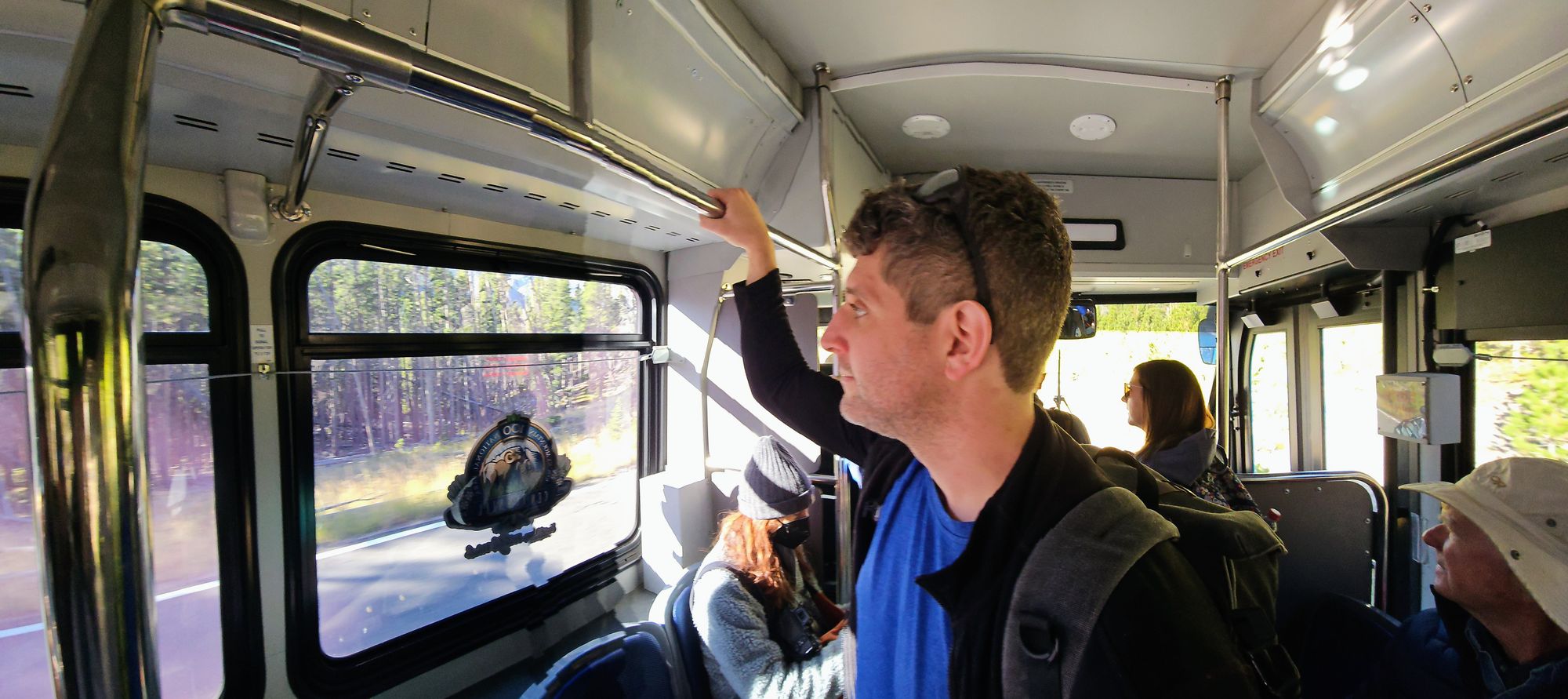
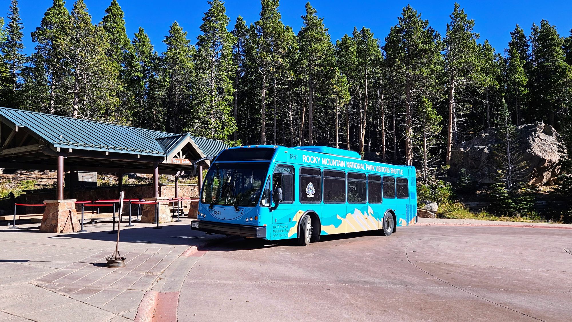
Rangers were advising visitors to take the shuttle up to the end of the road, and we obliged. It ended up being quite an adventure just to get up to the trailhead! Reserve a pass --> drive into the park --> get our reservation scanned at Bear Lake Road --> grab a shuttle at the Park 'n Ride --> Arrive at the trailhead.
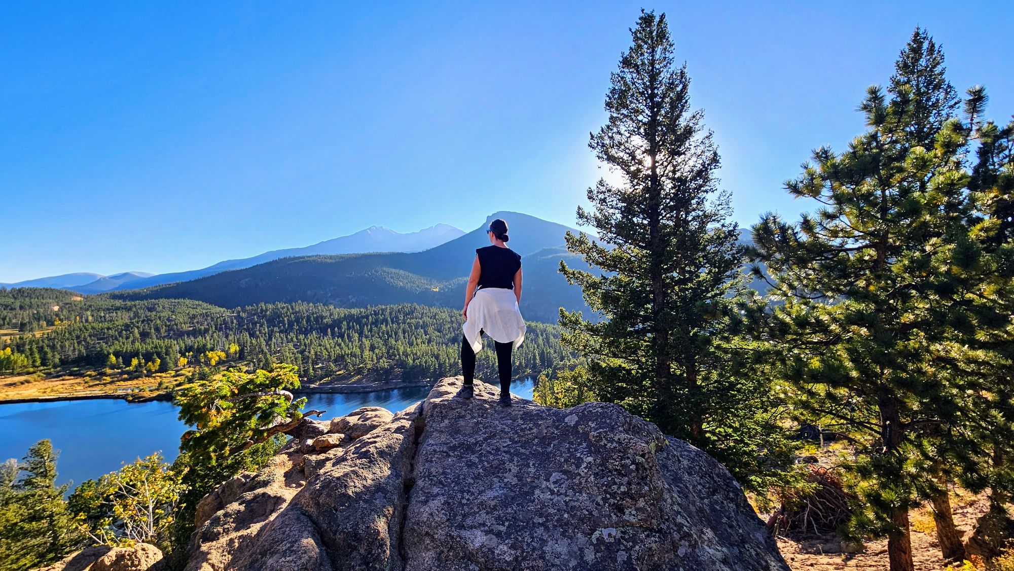
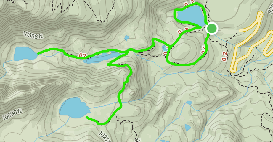
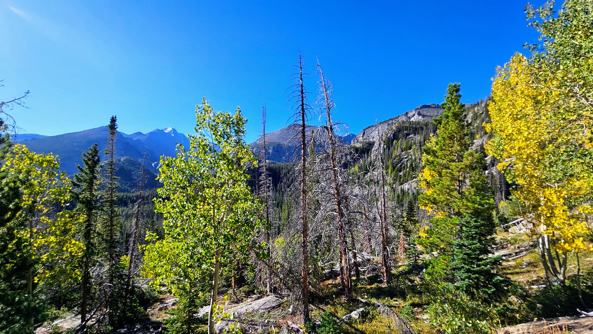
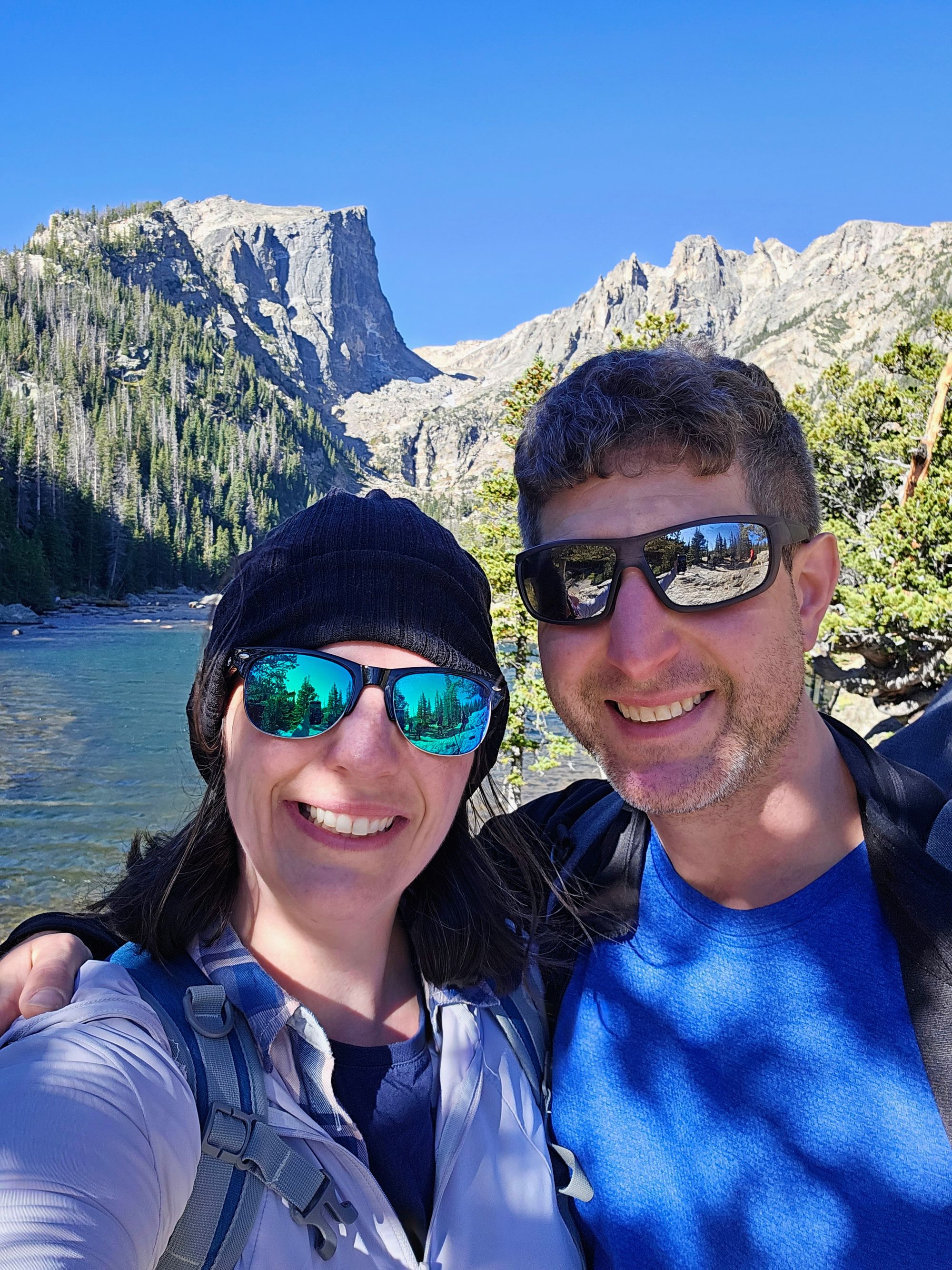
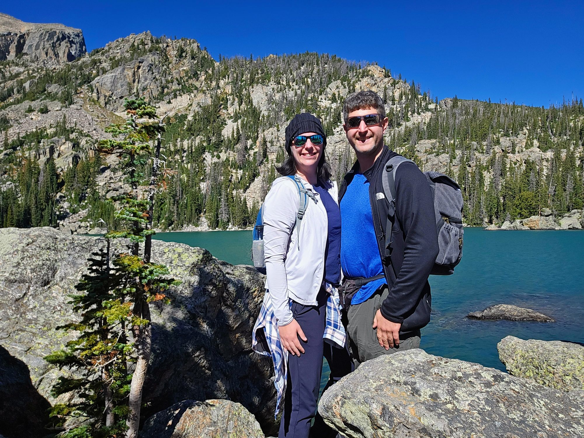
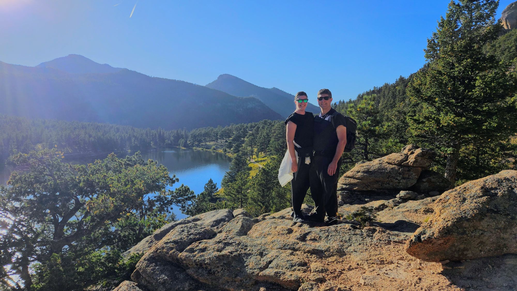
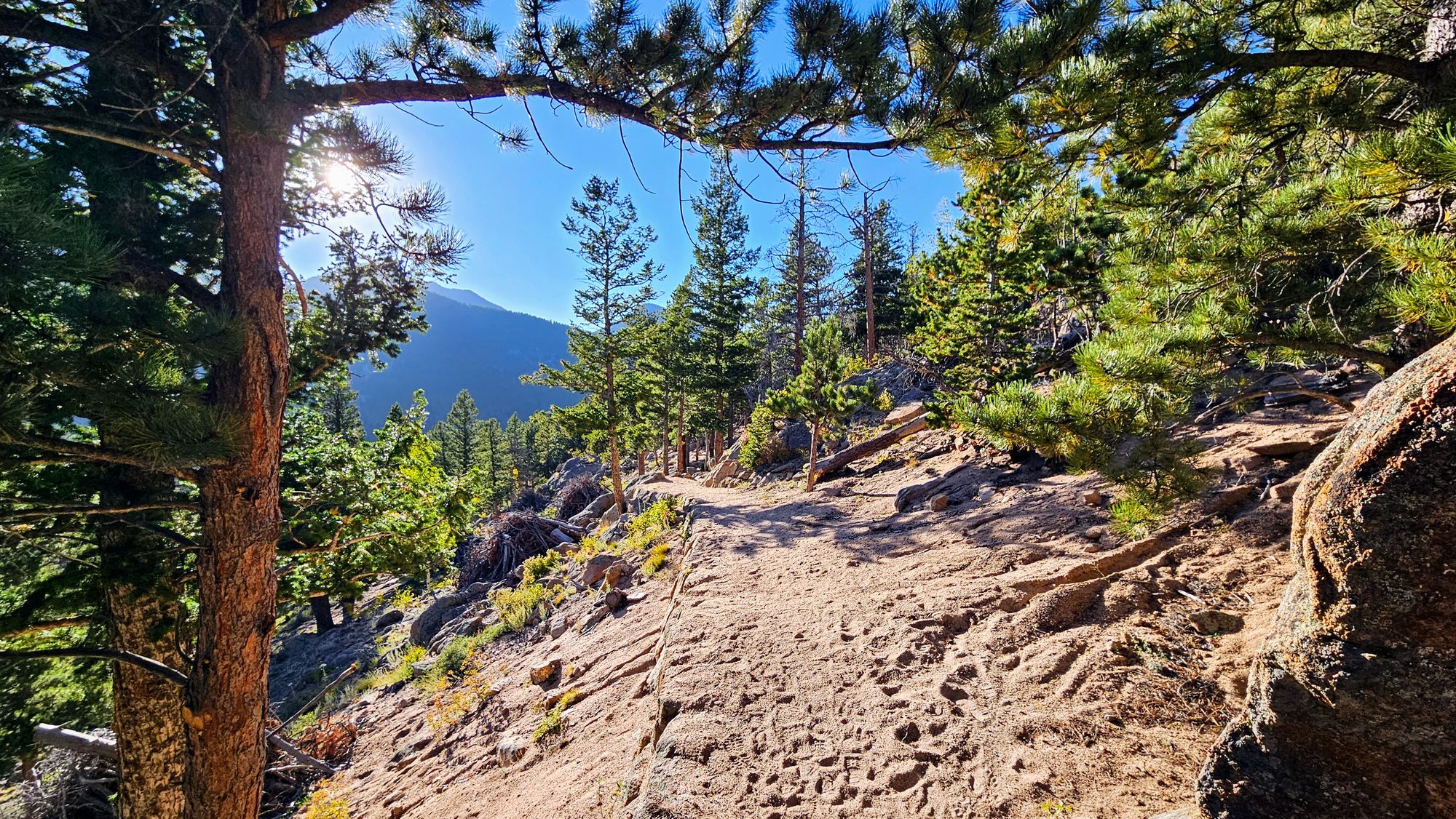
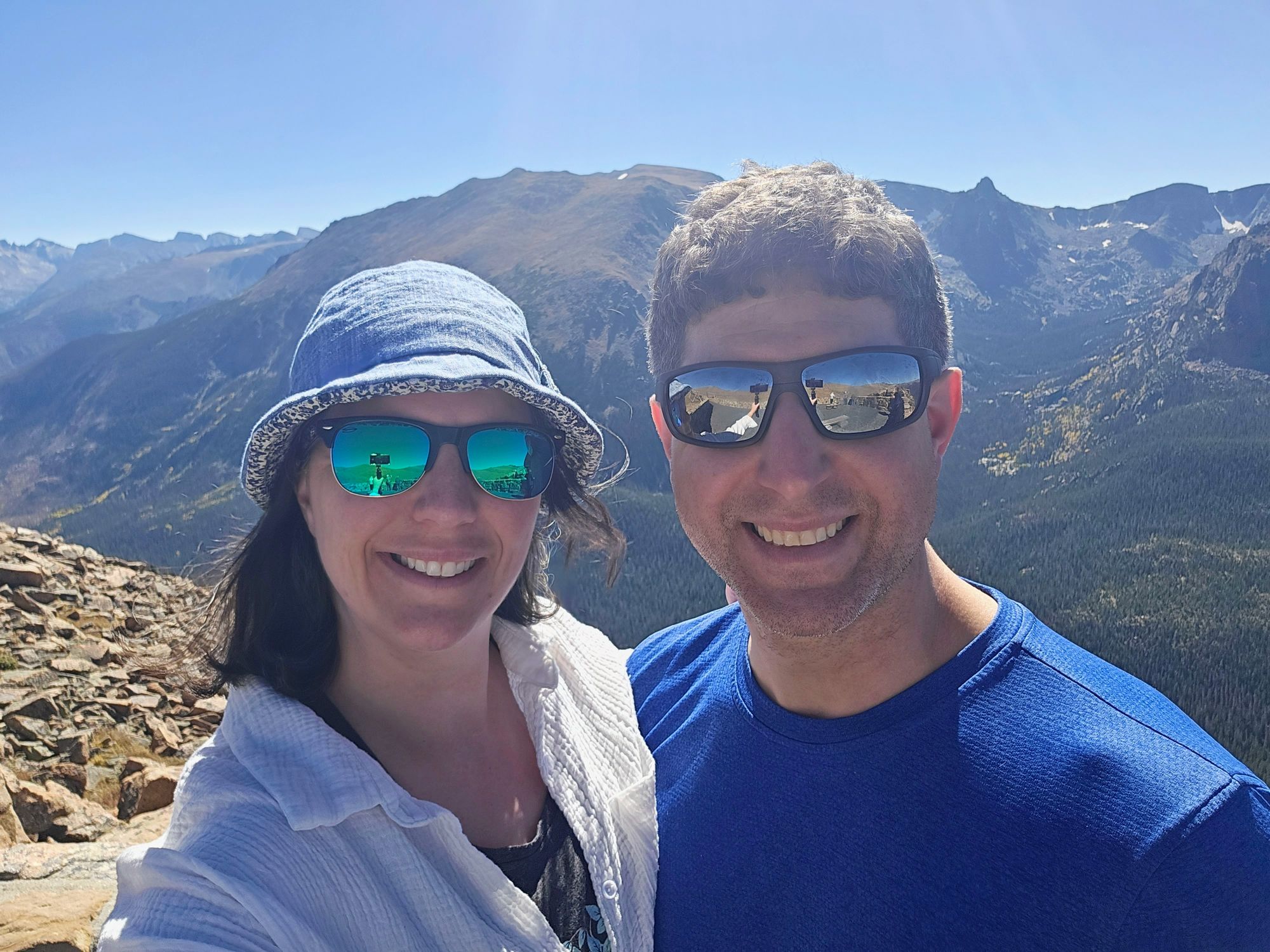
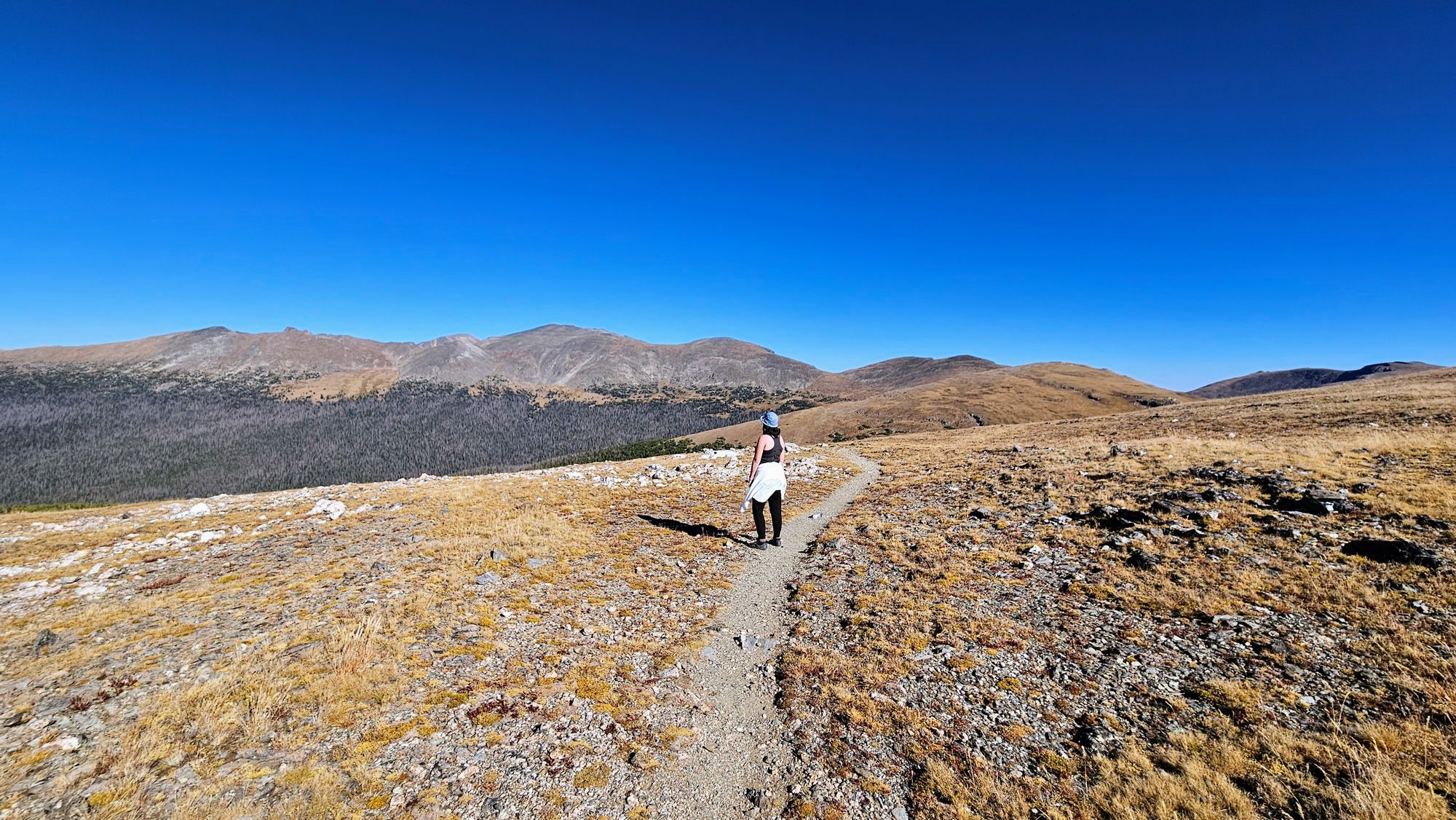
The plan was to hit 5 lakes, starting with a trail that passes by Nymph Lake and Dream Lake, ending at Emerald Lake. Then, taking the trail back, and at Dream Lake, taking a turn that leads to Haiyaha Lake. After coming back down and joining our initial branch of trail, we'd veer off and do a lap around Bear Lake to end our hike. The total miles would end up being somewhere around 6.5-7, and the total elevation about 1100ft. We'd reach close to 10,000ft at our highest point.
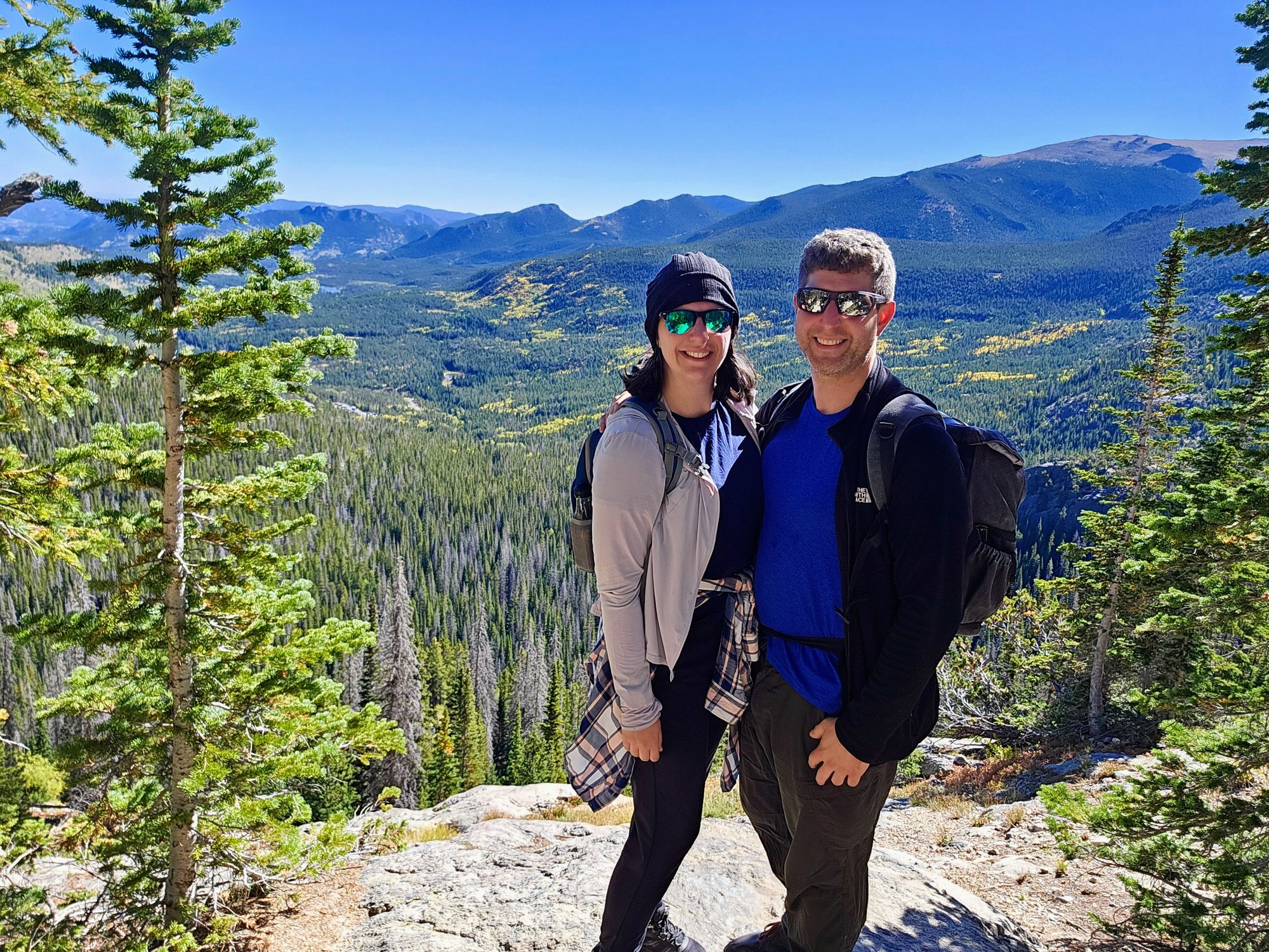
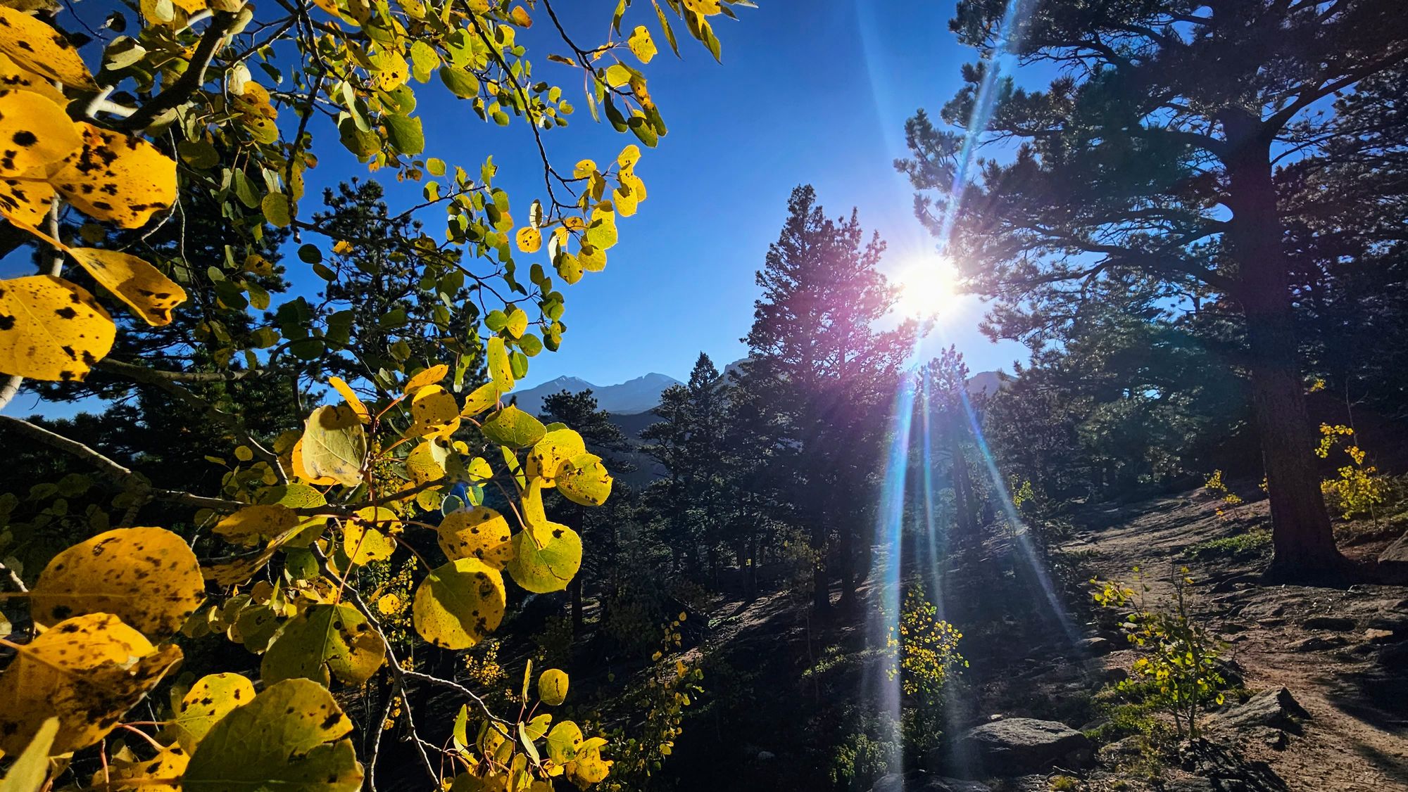
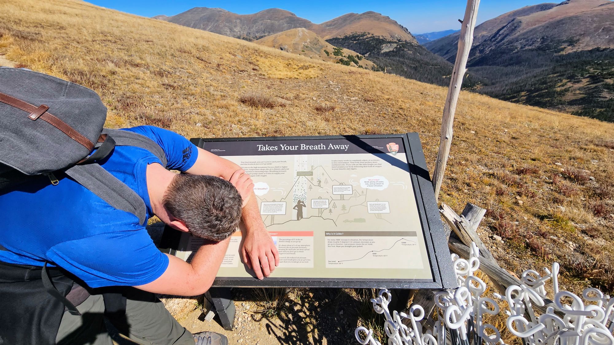
We adapted the trail from one on All Trails, which gives a rating as moderate. Even with our tweaks, the trail wasn't too difficult, though there were some spots with climbs. The biggest problem is the high elevation. We had already been at 8,000ft for the majority of the past week, but we were definitely still feeling many symptoms of the thin air. As someone who has permanent scarring on her lungs, I wasn't sure how I'd fare, but I was actually a lot better acclimated than I expected. Anthony had a hard time taking deep breaths. I seem to max out at a certain point because I always have trouble breathing during strenuous activity. I just deal with it for the love of movement, hoping that it gradually makes my lungs stronger. Fall allergies were also hitting us both hard, and so we made sure to pack lots of tissues.
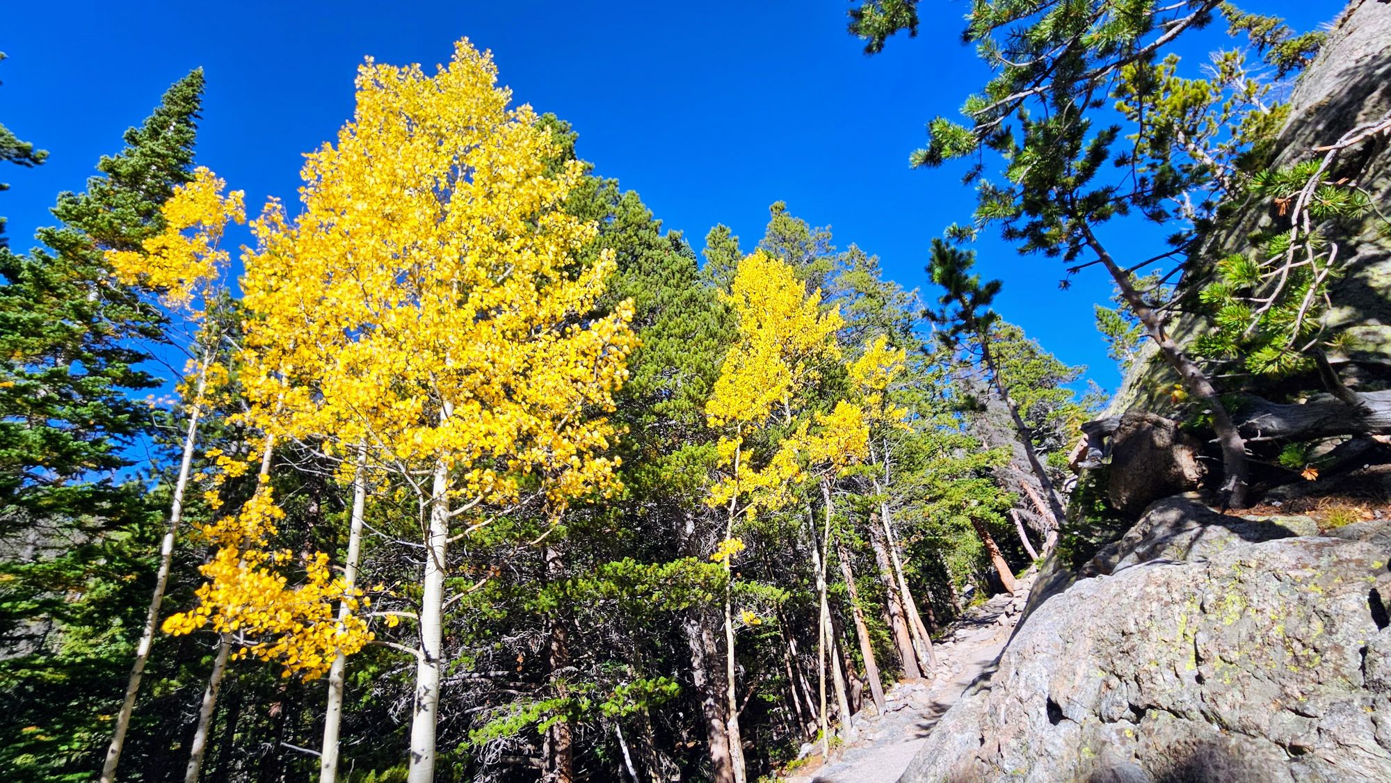
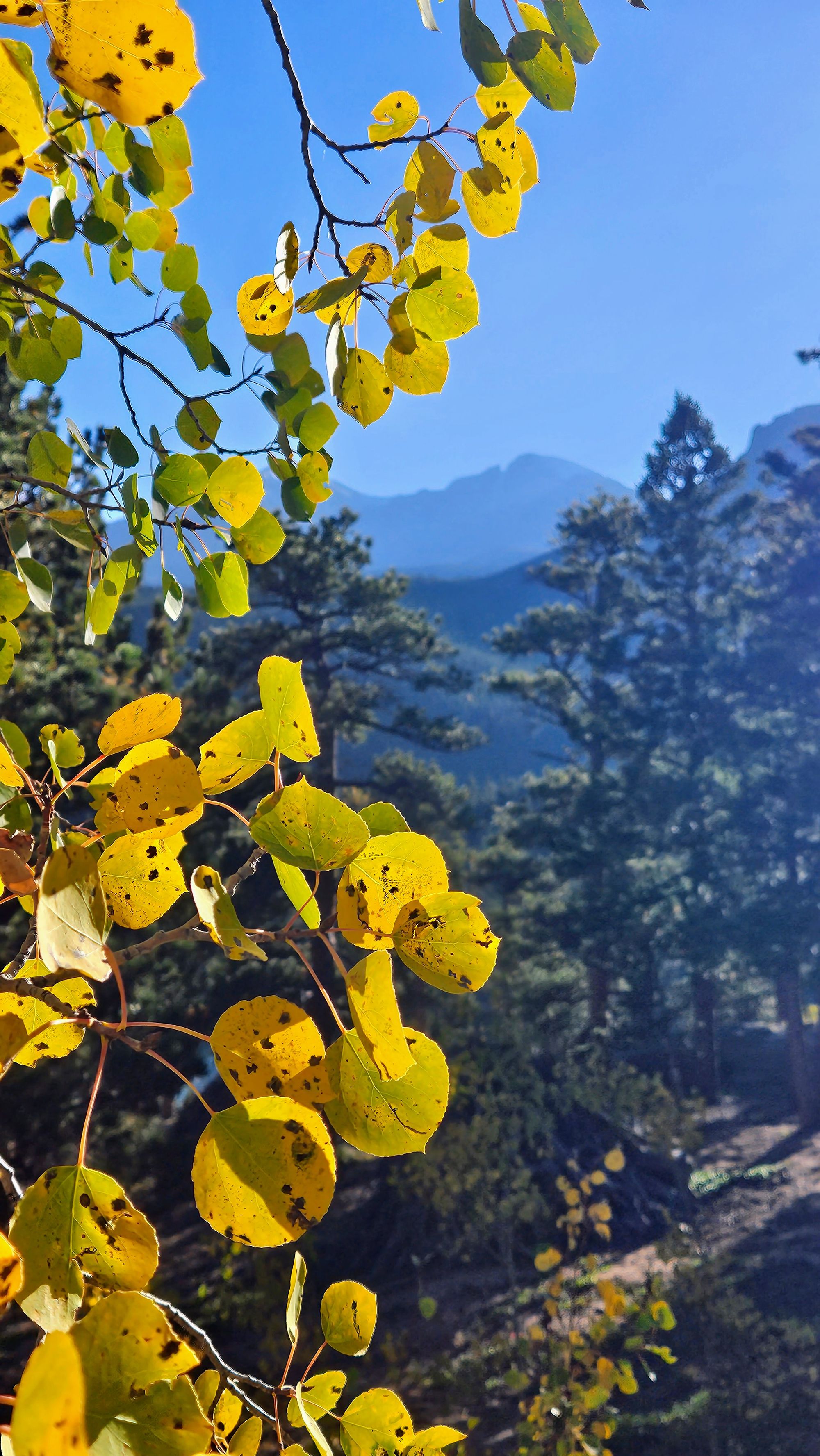
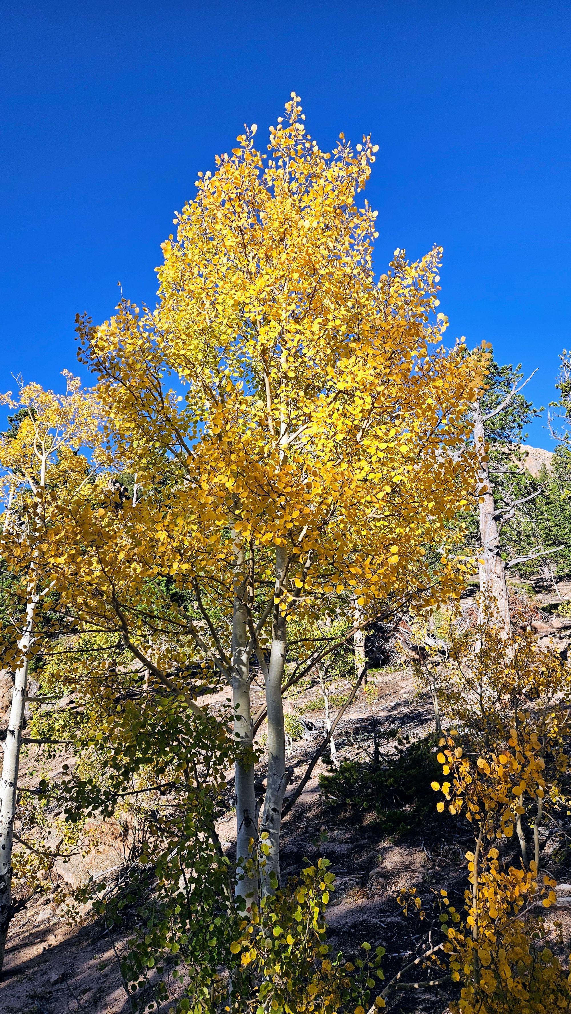
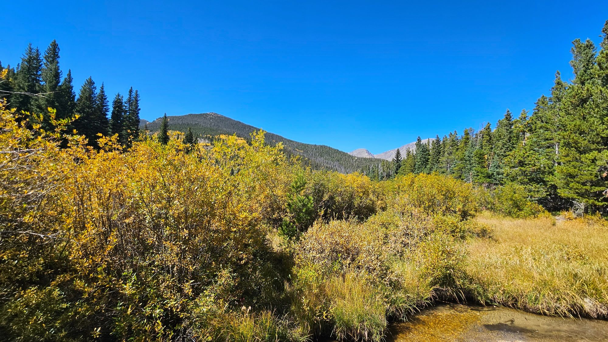
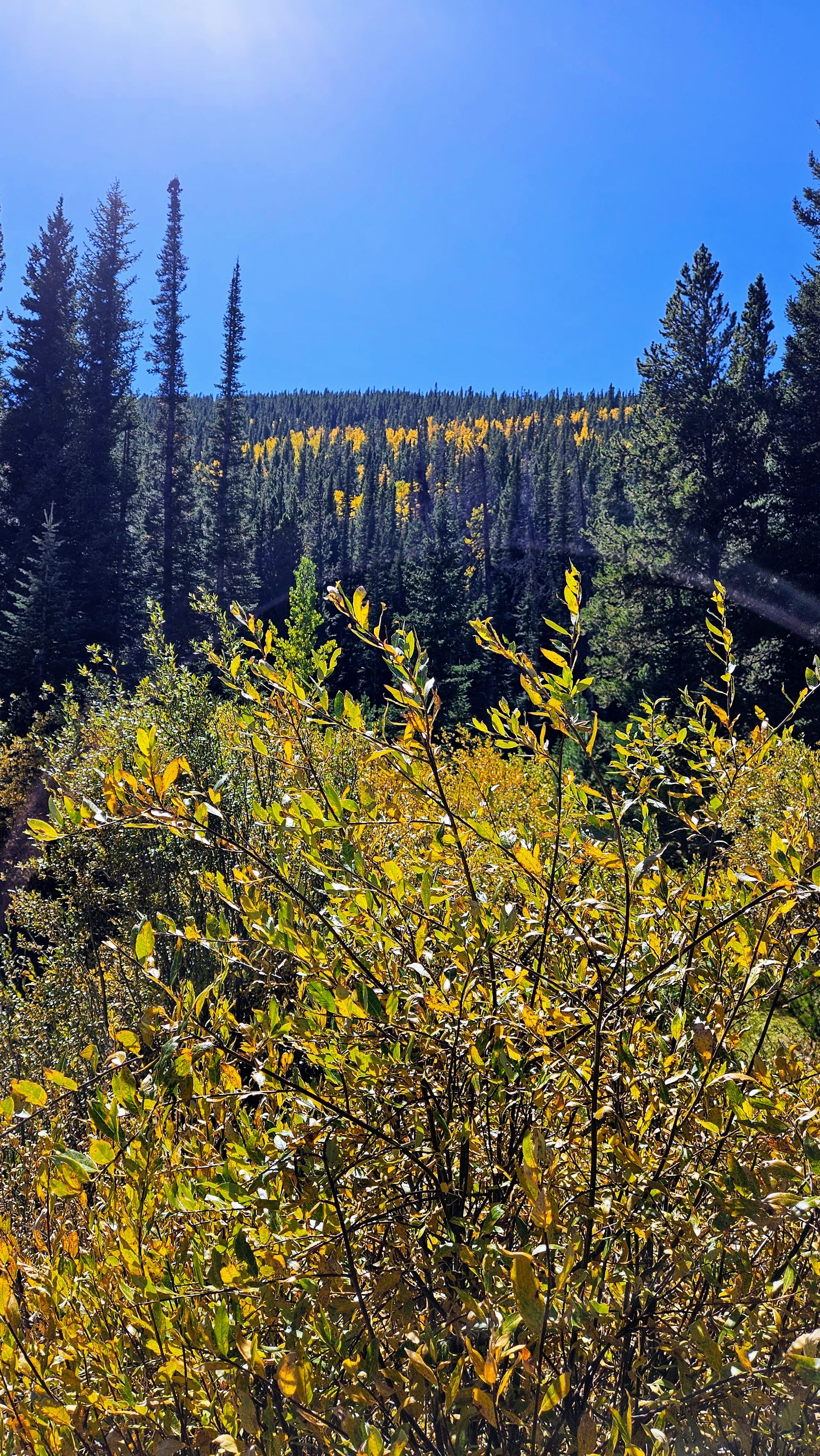
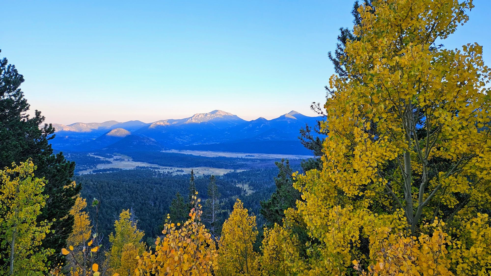
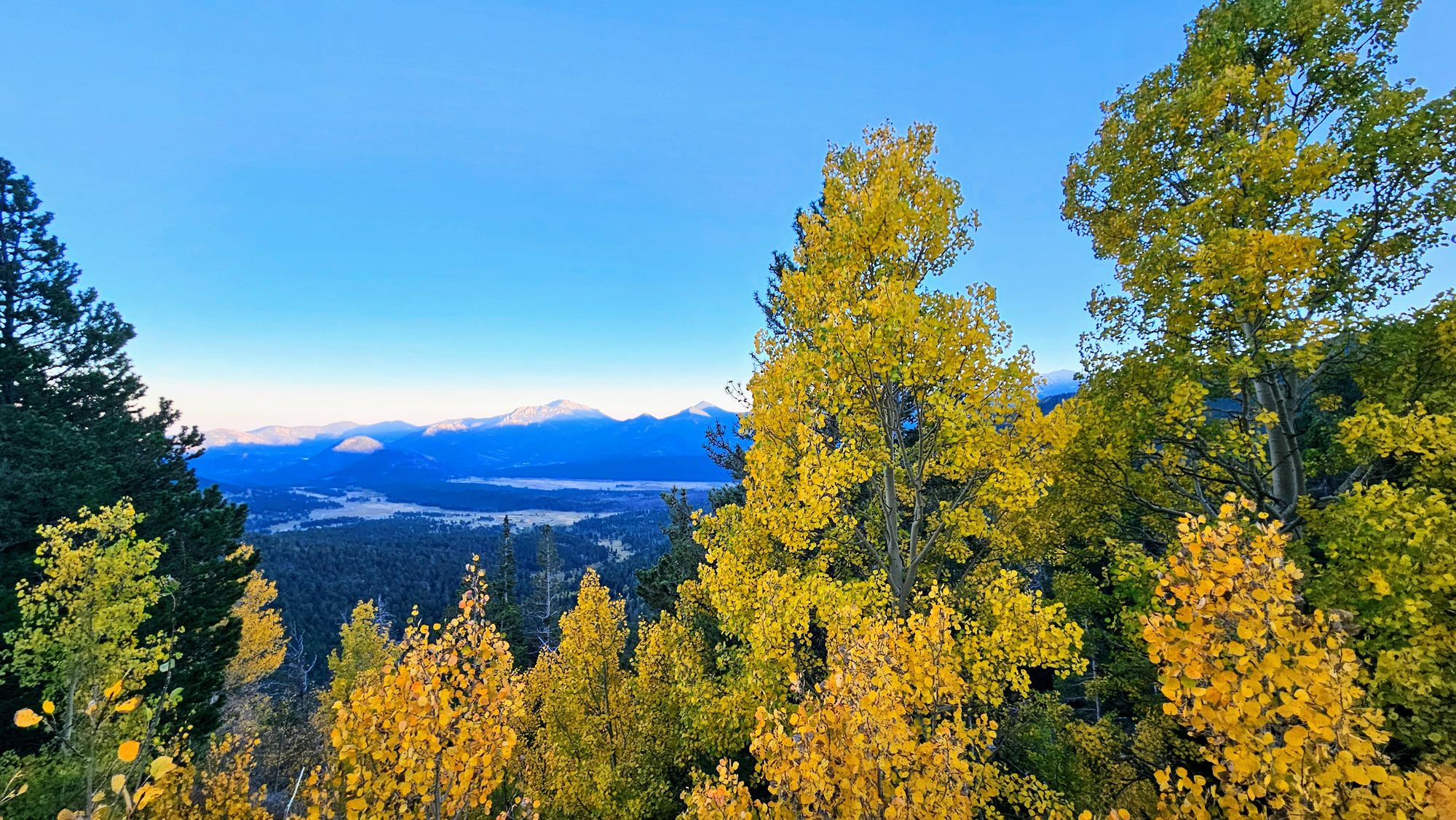
Fortunately, the hike was so enjoyable, all the endorphins helped to reduce the less pleasant aspects. We spotted some fall foliage, but we're not entirely sure if peak had hit yet. We're a little biased as New Englanders as to what "peak" looks like, and since the Rockies are mostly evergreens, we knew we wouldn't get the ubiquitous color throughout the mountains. Nevertheless, seeing any color brings so much warmth and vibrancy to the landscape, and to the photographs.
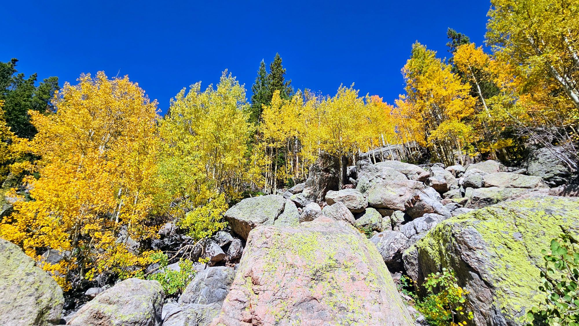
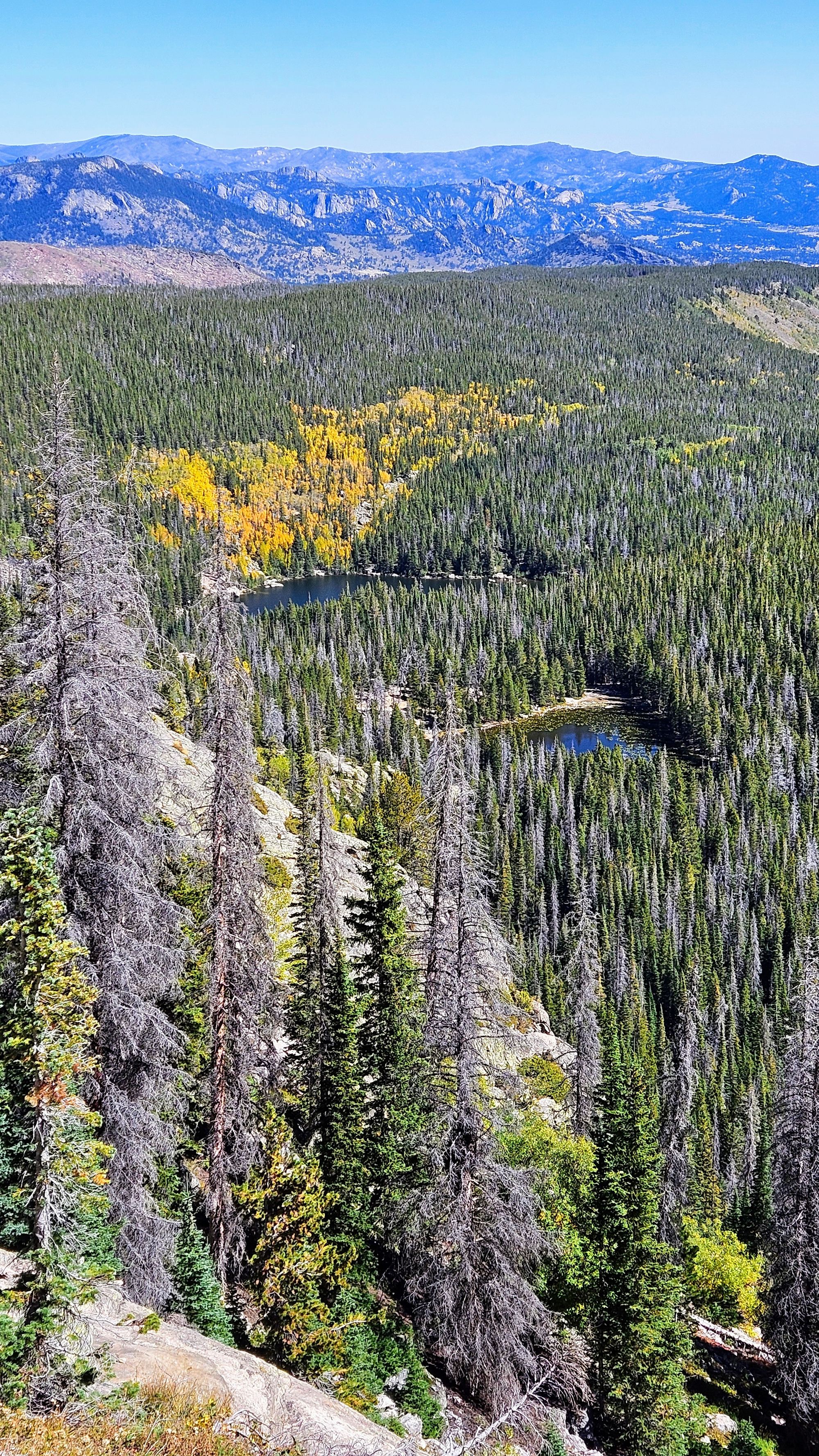
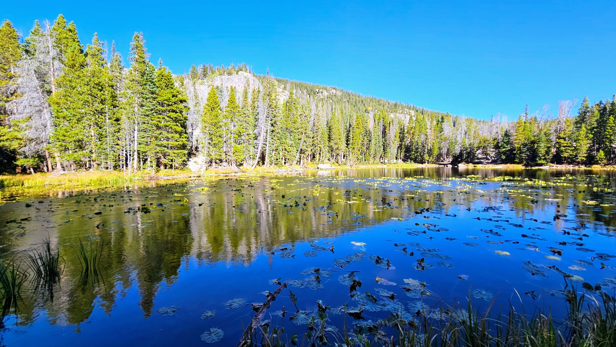
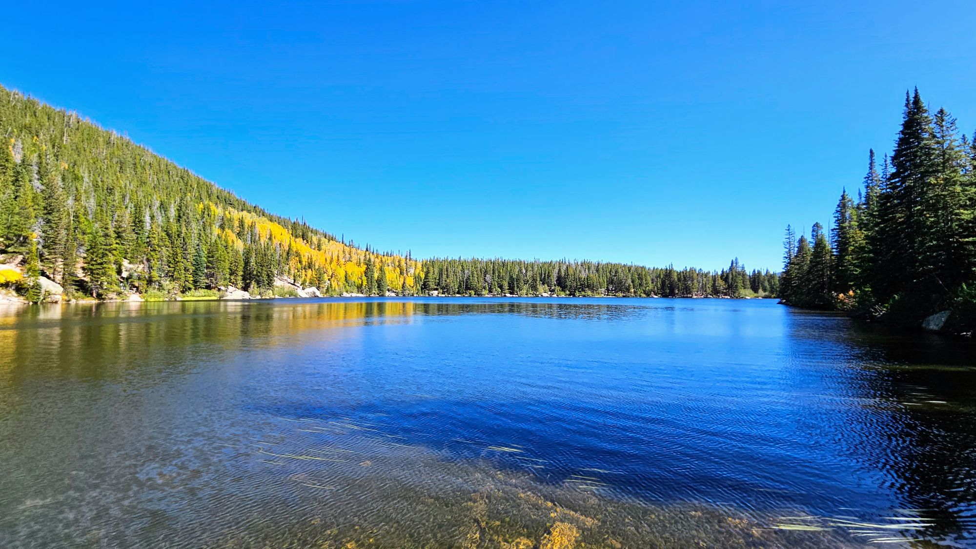
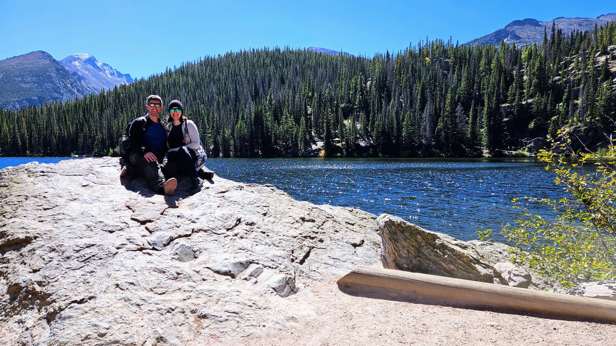
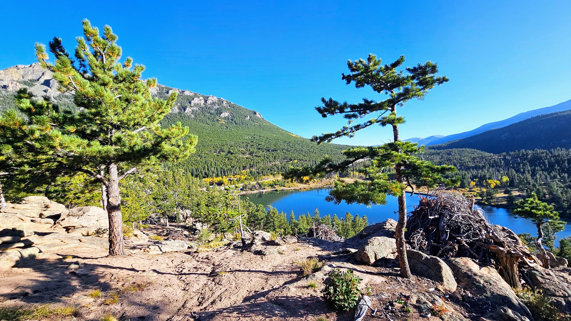
The 5 lakes all bring something different to the hike. We first hit Nymph Lake, which is more like a pond. It's small and had lots of grass and lily pads. Truthfully, not much to see and if we had only chosen to do the Nymph trail, we would have been disappointed. The lake totally looks like a place a moose would hang out, which would have made it 1000 times better, but unfortunately no moose that morning.
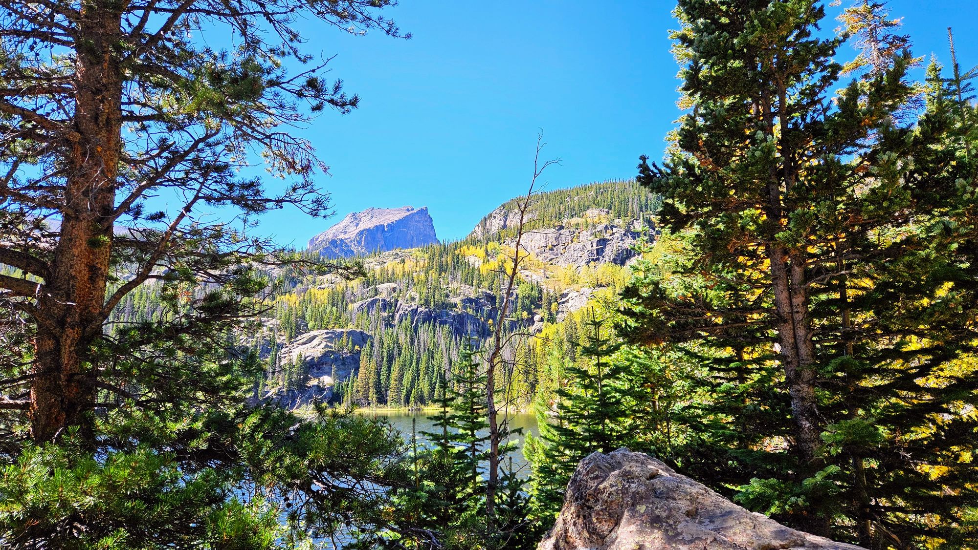
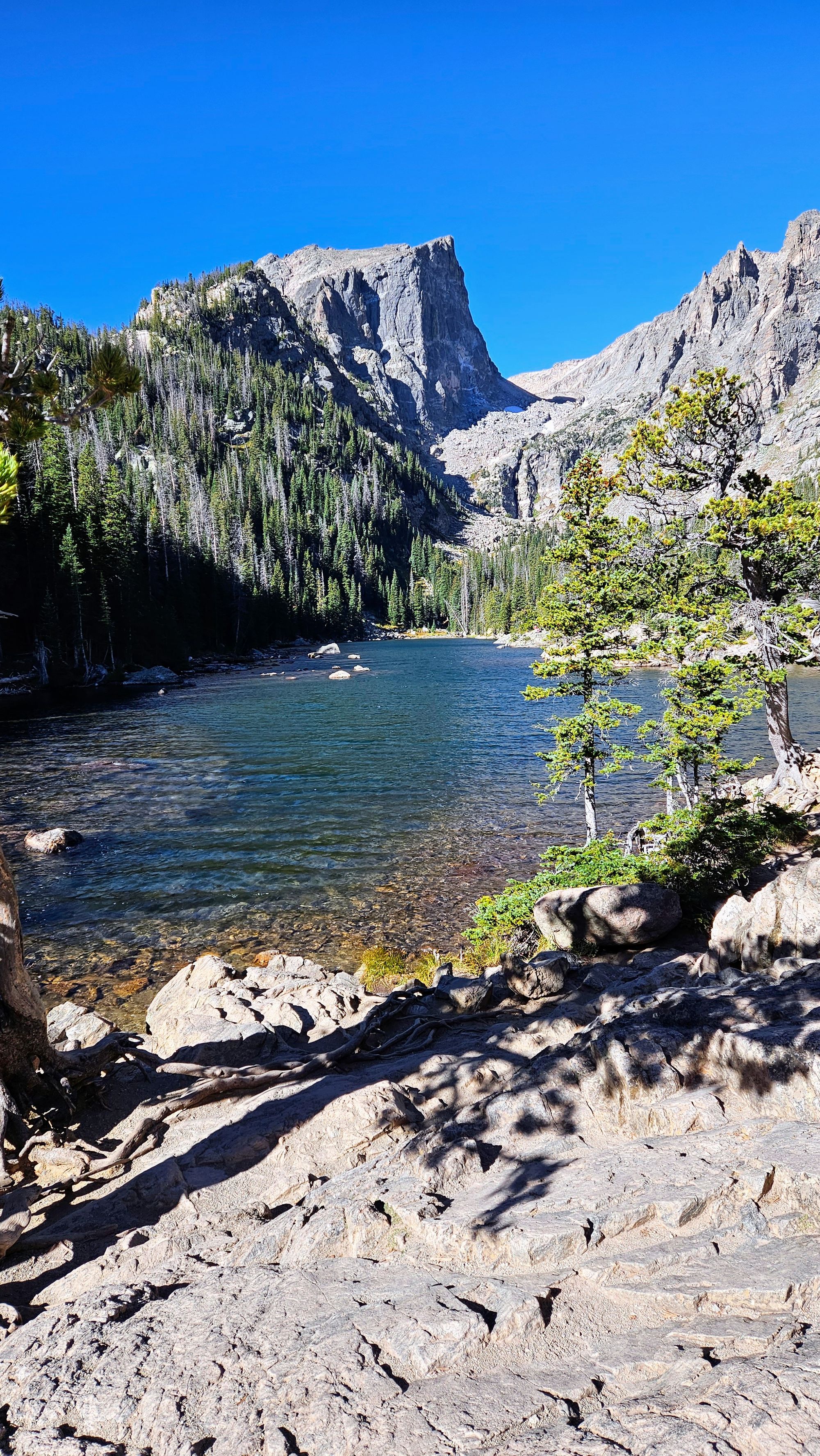
Next up was Dream Lake, a place where many people cart their fishing gear so that they can attempt to catch (and release) one of the many trout that live here. Dream Lake is long and skinny, and kind of reminded us of String Lake in the Tetons.
The end of the first branch of trail brought us to Emerald Lake. This is the lake that I've probably seen the most on my fellow travelers' Instagrams. It's surrounded by boulders, which if you're able to climb, are your ticket away from the crowds. We stopped for a snack and were quickly reminded that, ah yes, this was the home of the begging chipmunks. We assume that visitors feed them and now the chippies know no bounds.
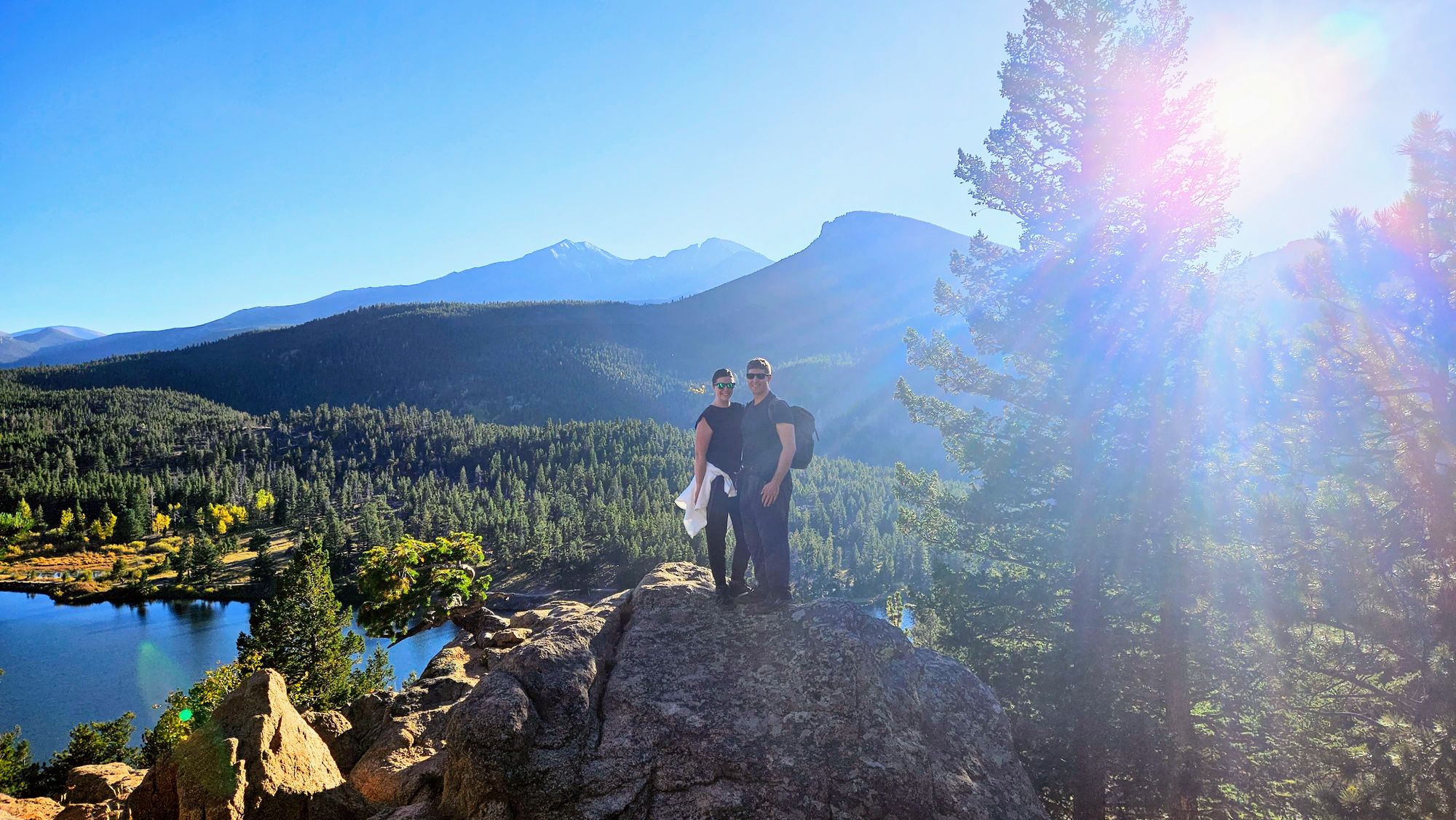
We backtracked to the juncture at Dream Lake and headed up its opposite shoreline, which is one of the steeper climbs of this hike, but we were quickly rewarded with gorgeous mountain views.
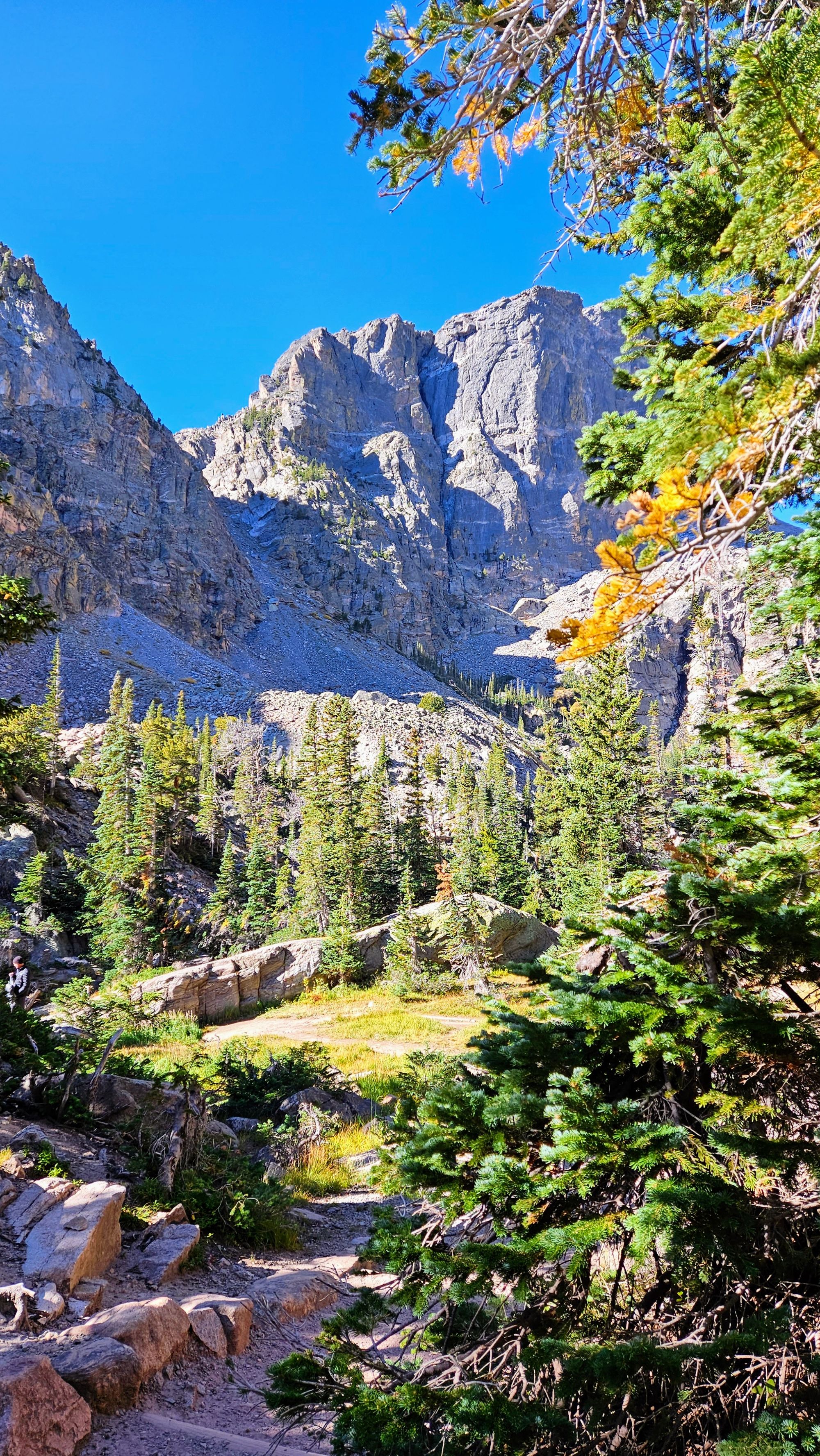
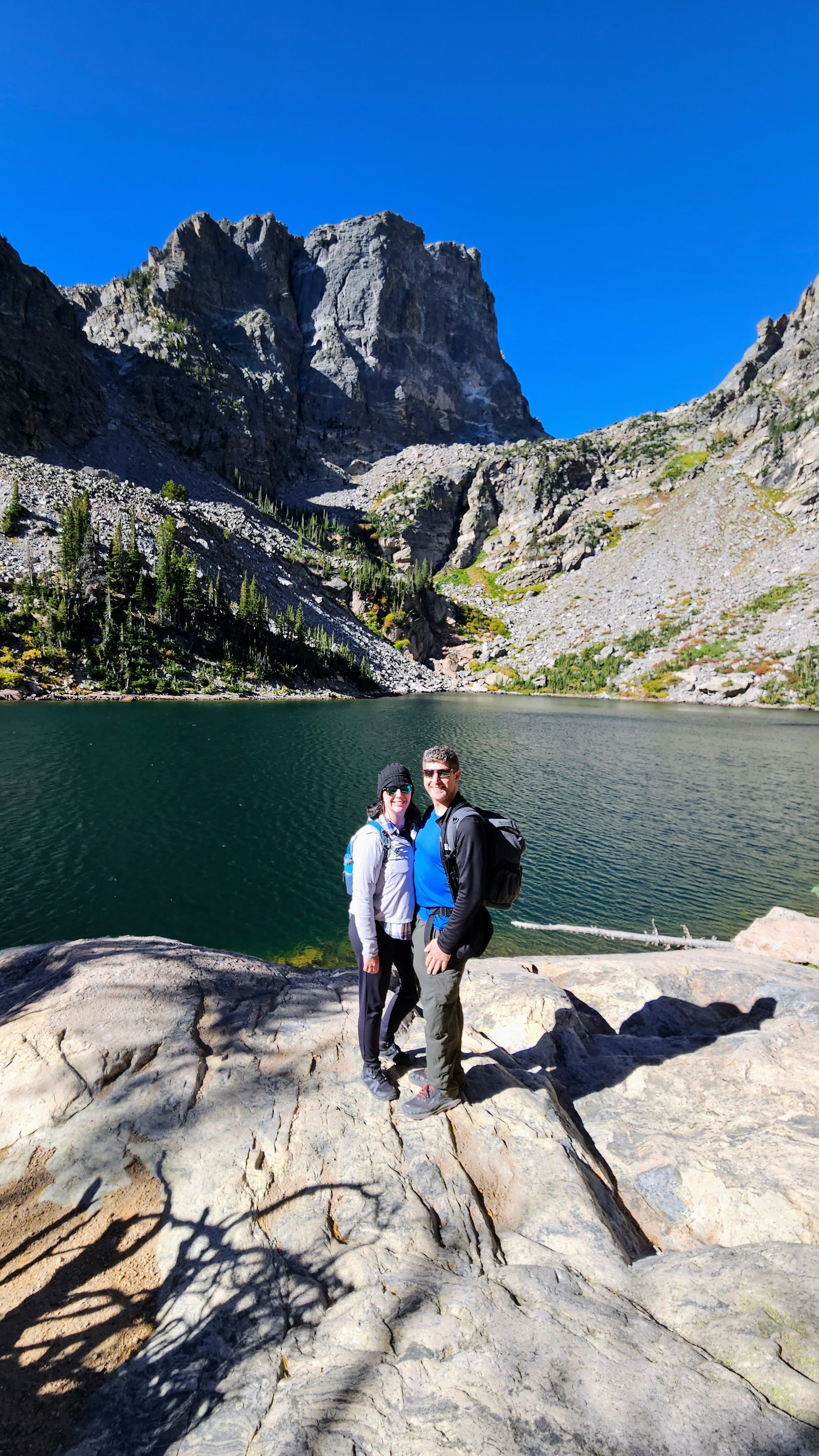
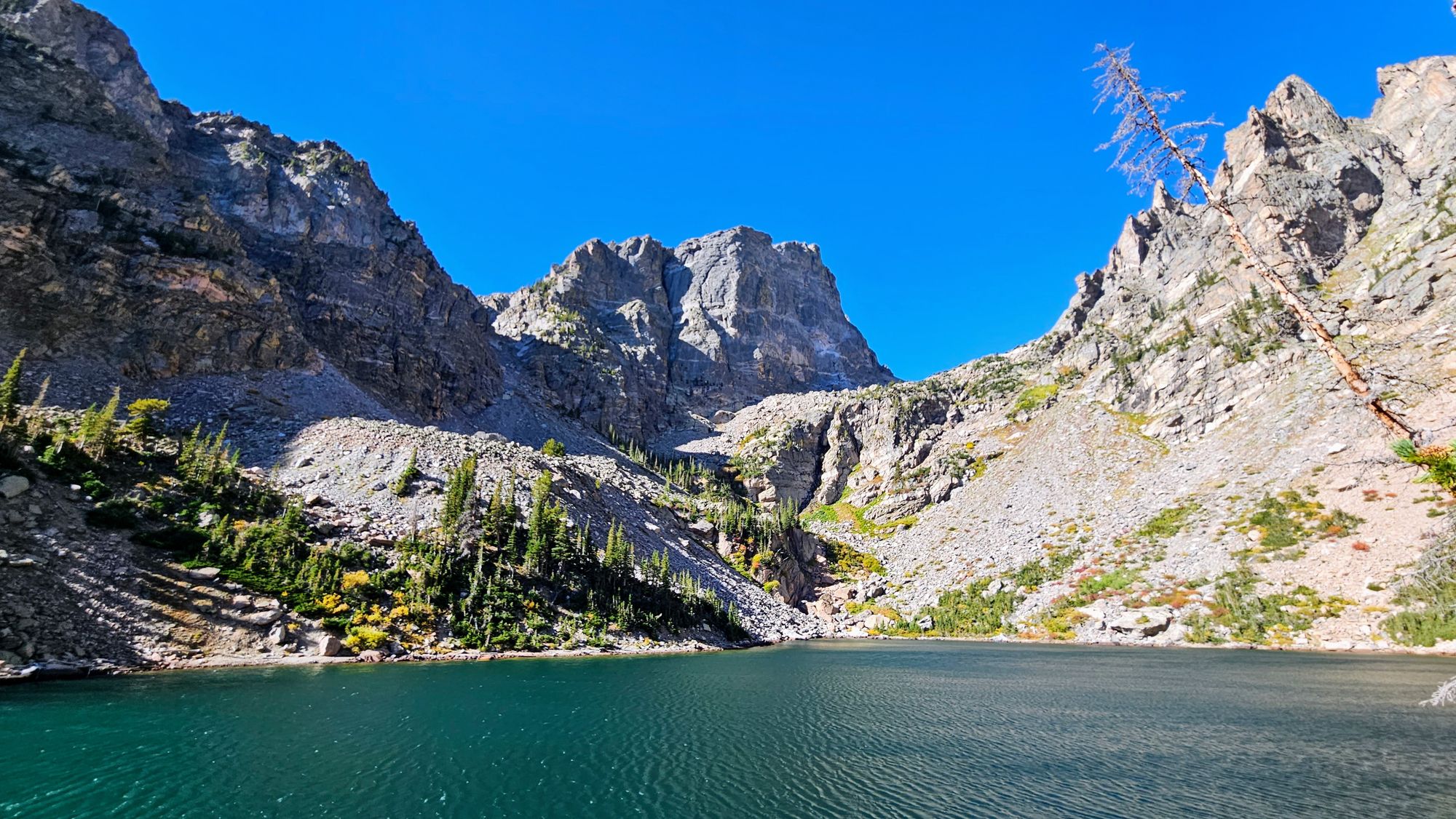
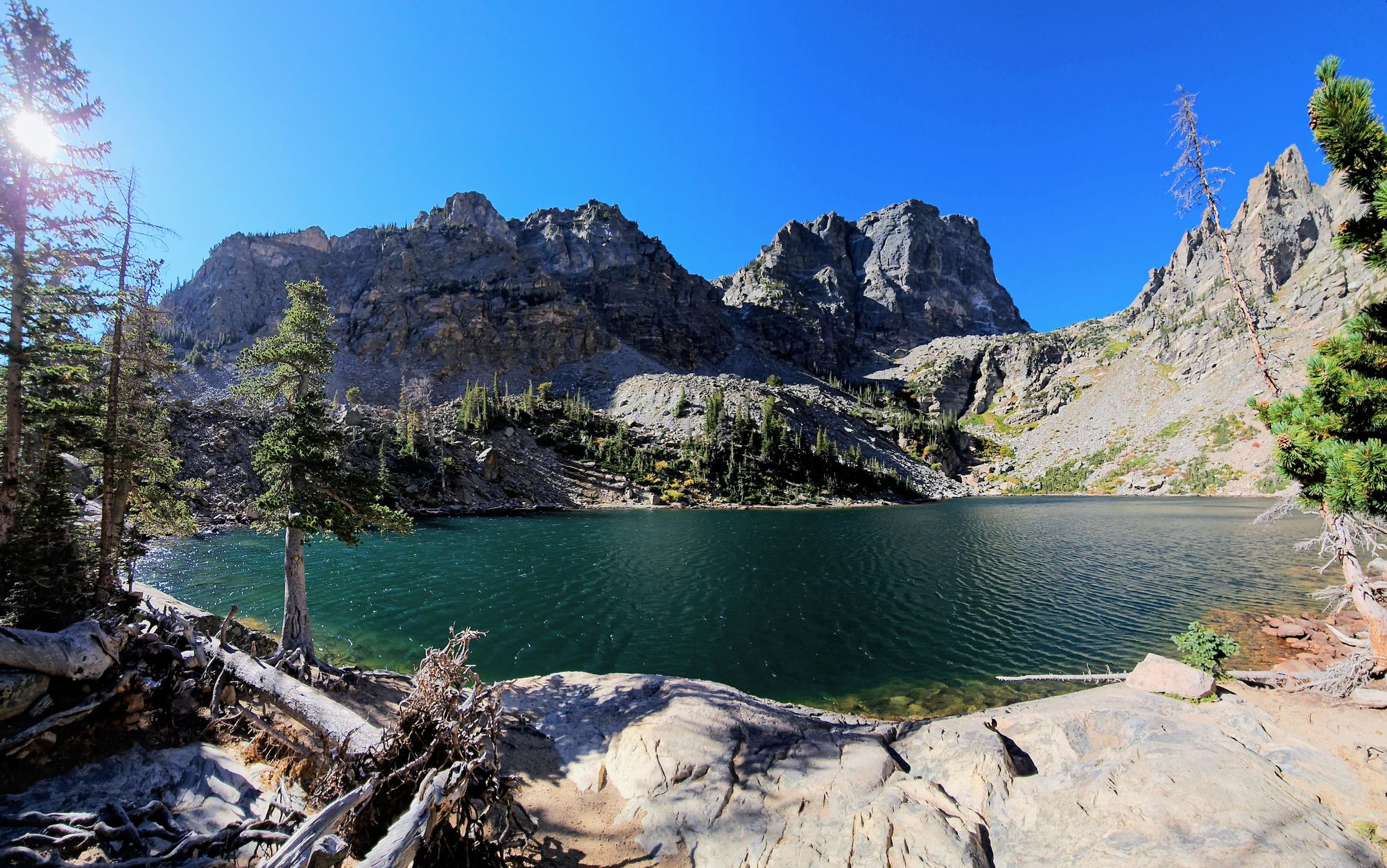
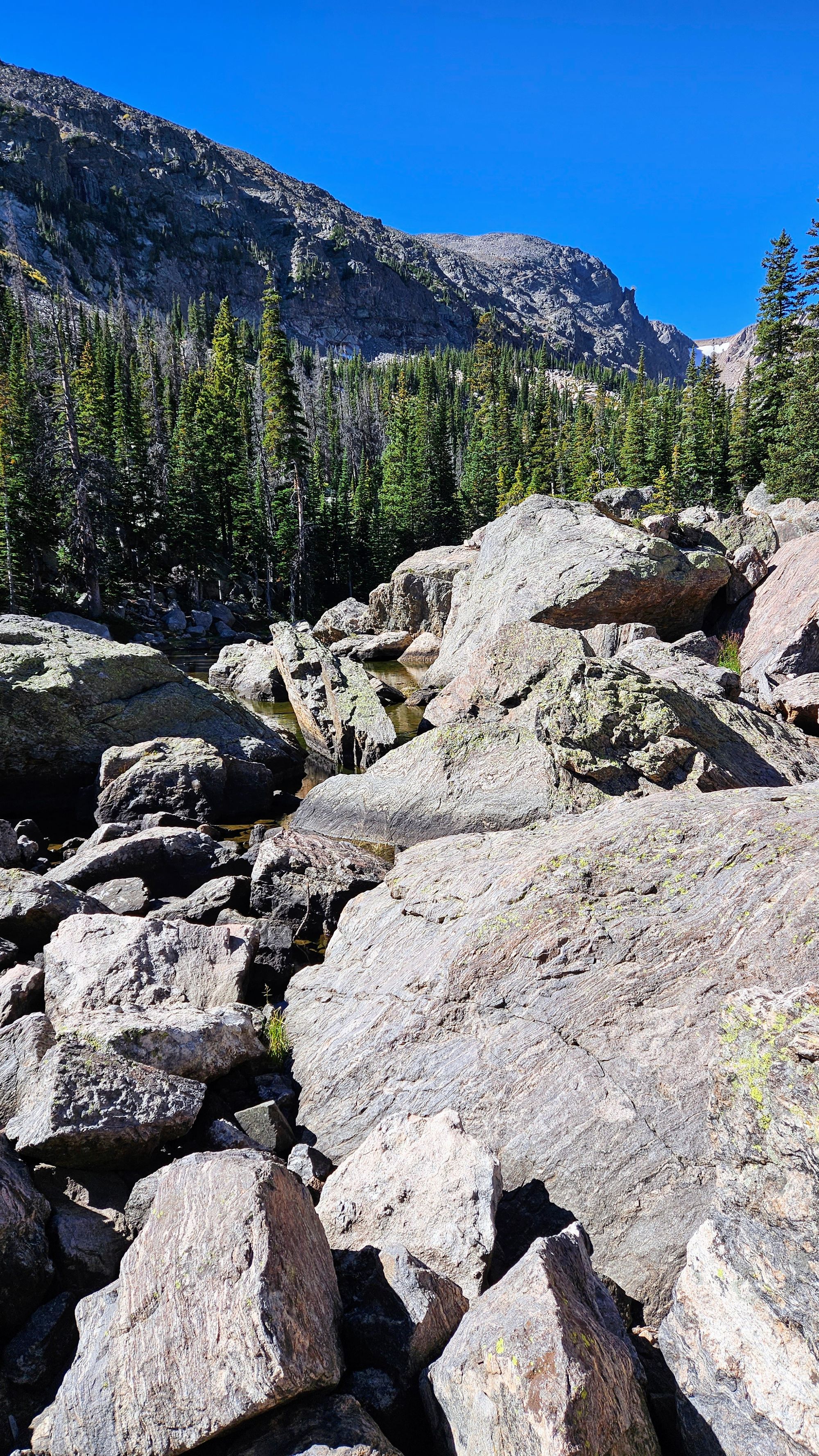
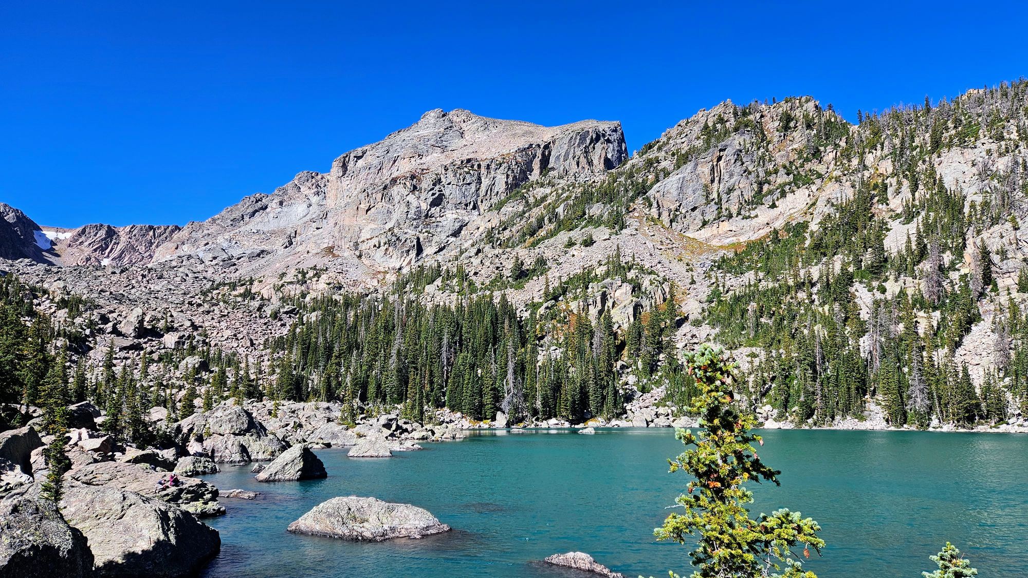
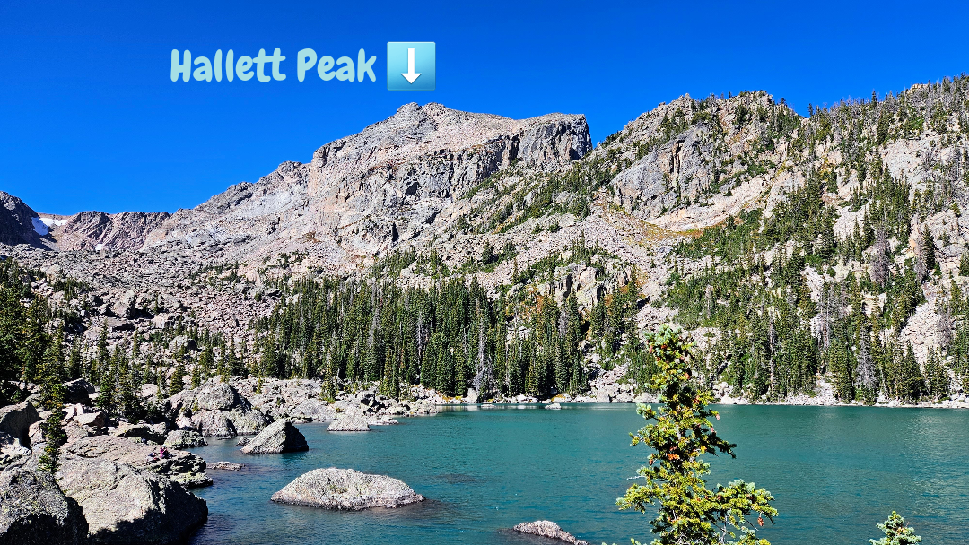
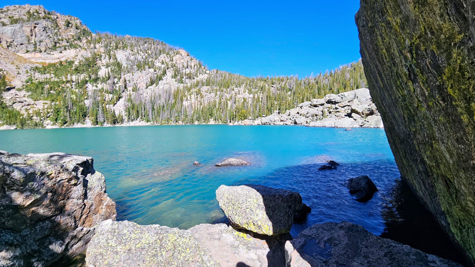
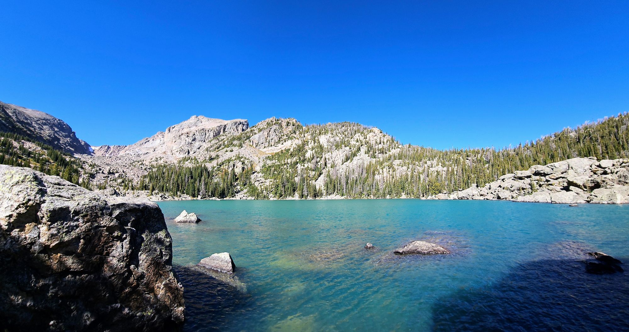
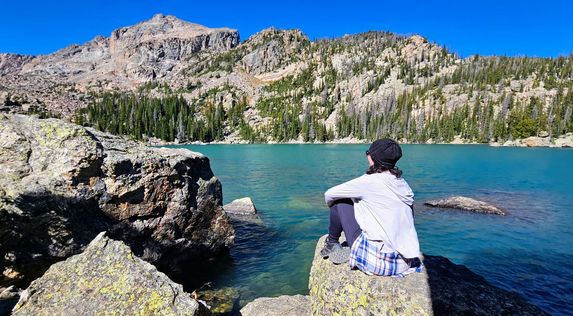
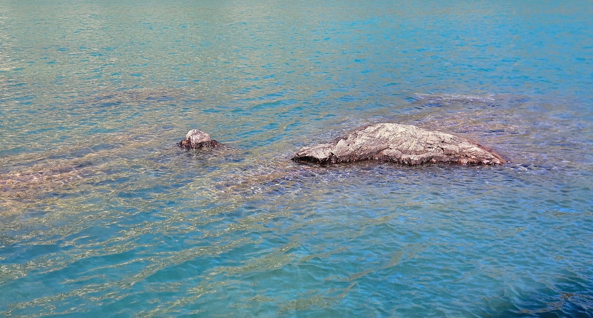
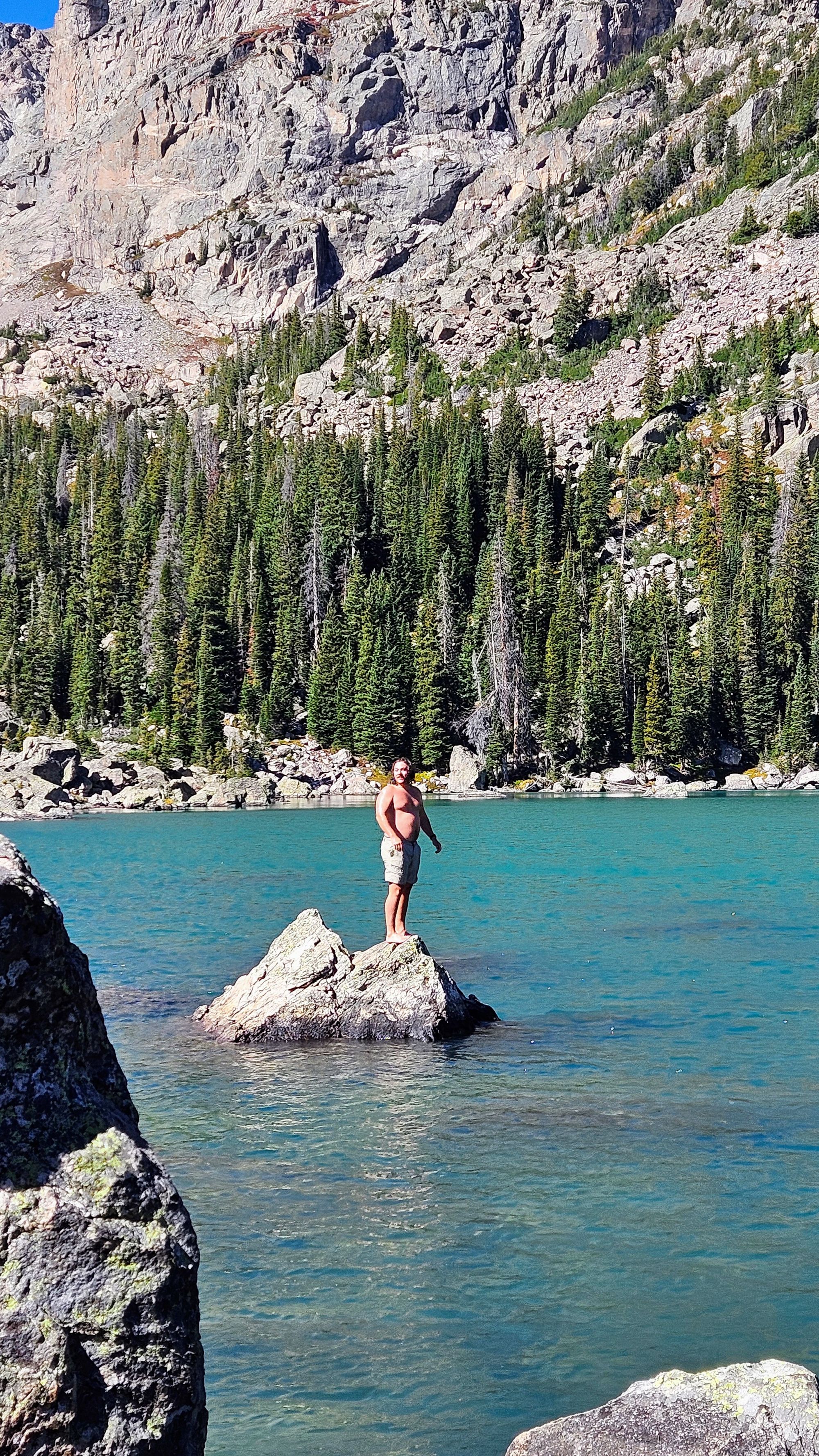
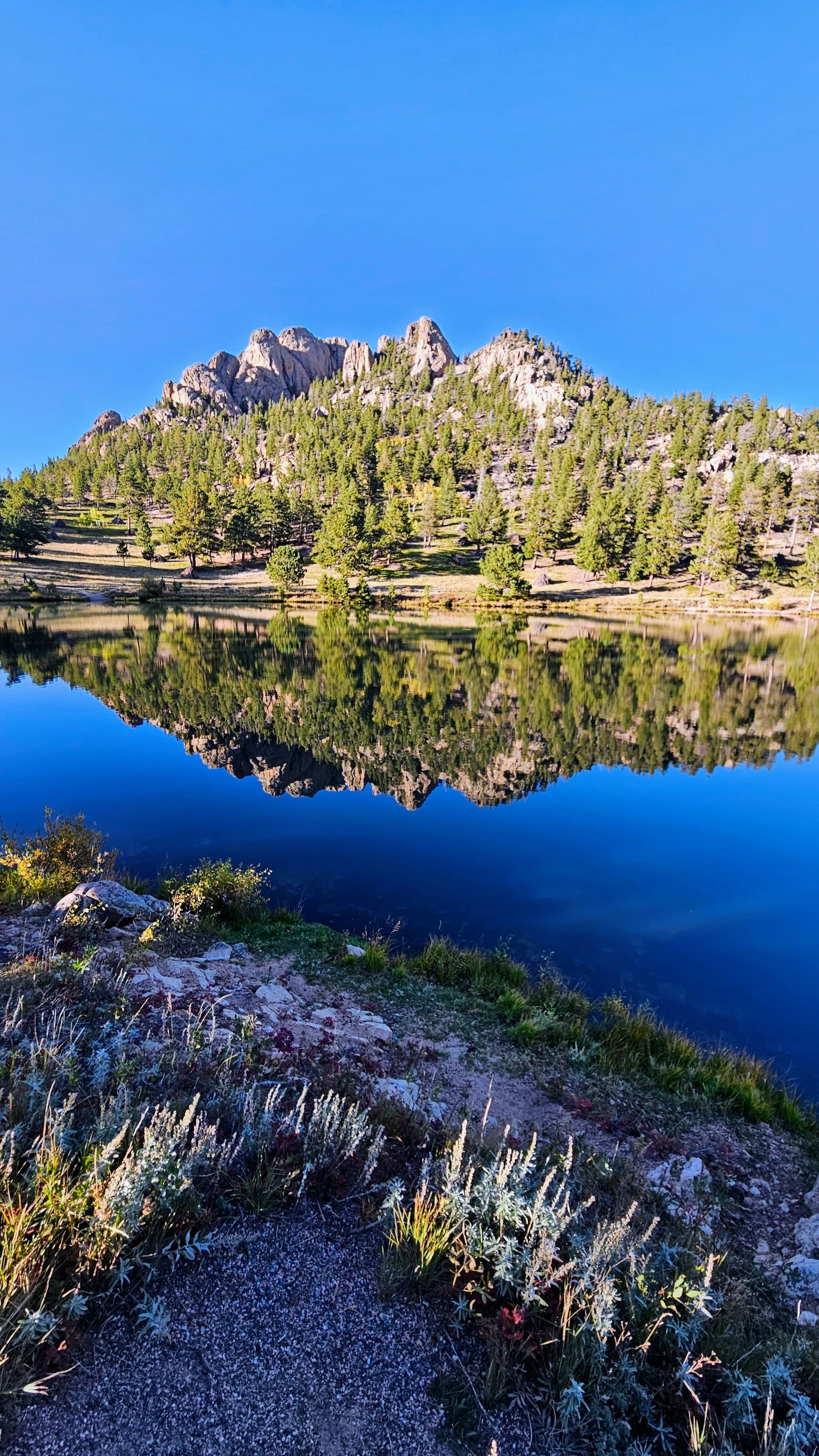
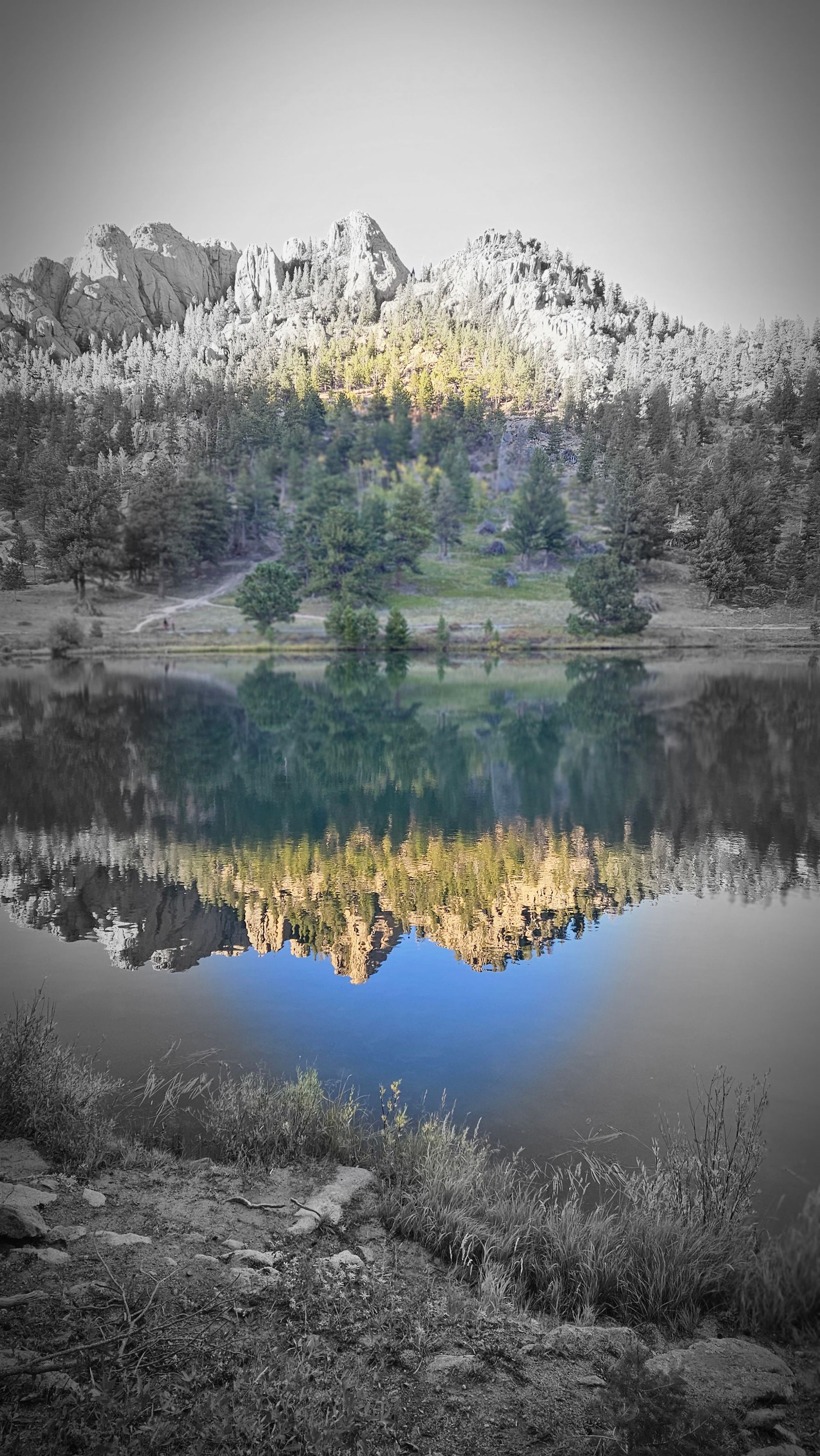
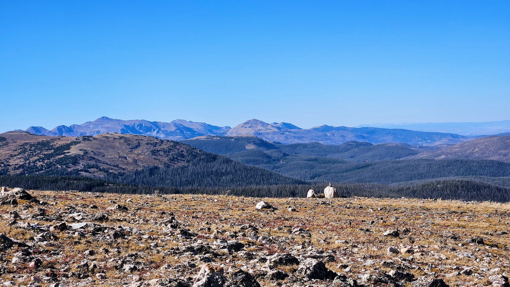
Then the trail flattened out a bit, and before long, we had arrived at the boulder climb that would serve as our entrance to Haiyaha Lake. Haiyaha is an indigenous term meaning "big rocks," and it's easy to see why the lake is named this. Not only are there tons of giant boulders surrounding the lake, but there are rocks in the middle of the lake, too. The most mesmerizing part of the lake, though, was its color. I had seen recent pictures and wondered why the lake looked so intensely blue. What minerals could possibly be deposited there but in no other nearby lake? Turns out, in June of 2022, a debris slide occurred at Hallett Peak, traveling down Chaos Canyon. The debris consisted of clay and boulders, which were pulverized on their way down toward the lake. The silt and sediment are so fine that they remain suspended in the water as they slowly sink to the bottom. When sunlight hits the water, the particles absorb the shorter wavelengths, making the lake appear turquoise blue. Over time, the lake's blue shade is shifting, and it's unknown how long it will be before the lake's color returns to a hue similar to its counterparts in the park.
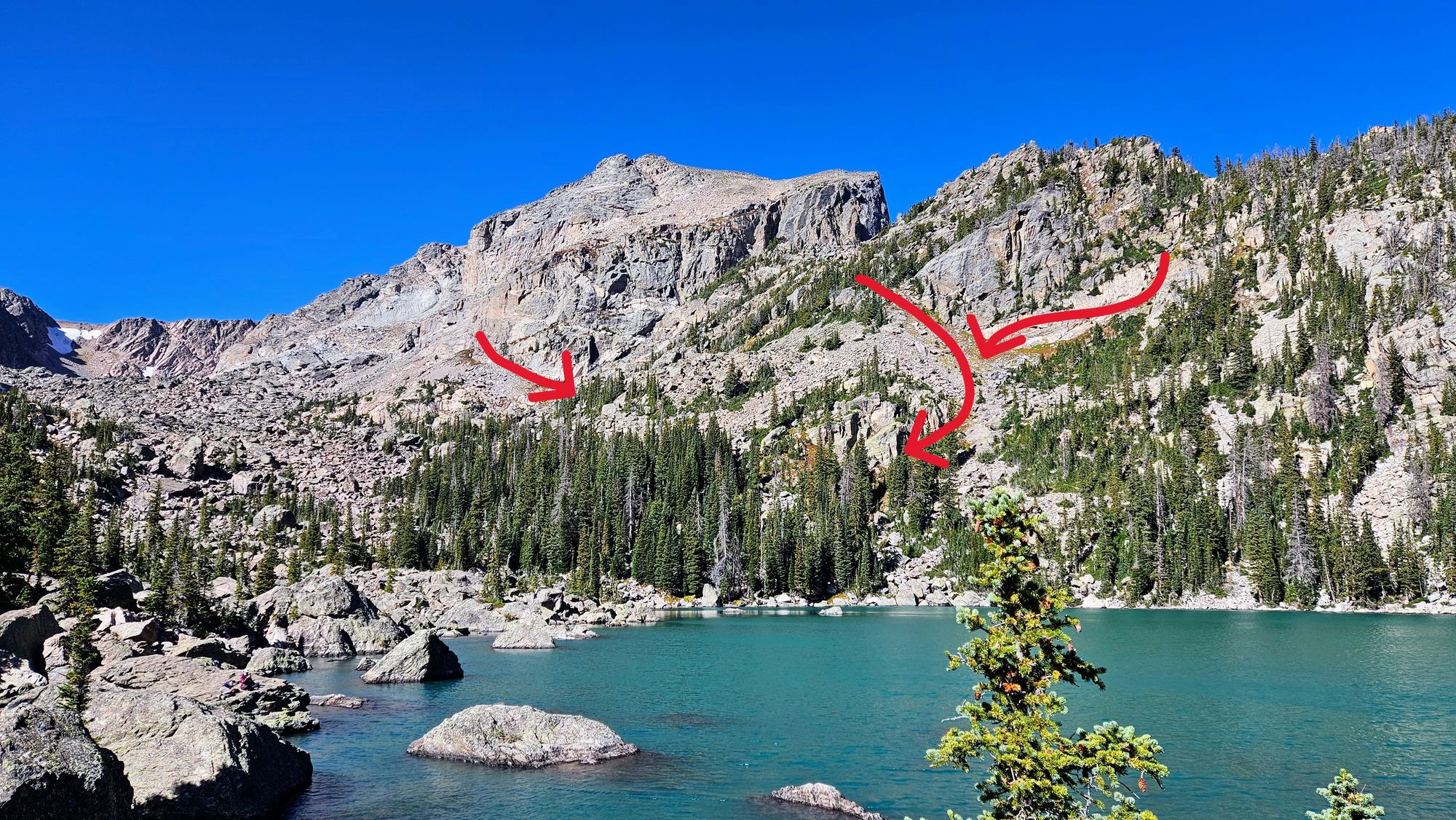
The red arrows in the right photo show evidence of debris slide
We spent a while at the lake, again climbing lots of boulders to find a quiet spot to relax.
You know who wasn't relaxing though? This dude who decided to brave the cold and take a plunge. He got a round of applause from all of us as he swam over to a rock in the middle of the lake. In case you're wondering, you are allowed to swim in the lake in summertime. Or in this guy's case, after summertime. I'm guessing temps in the 40s, maybe a tad lower? I mean, I'm all for cold plunging in my life, but this is really chilly!
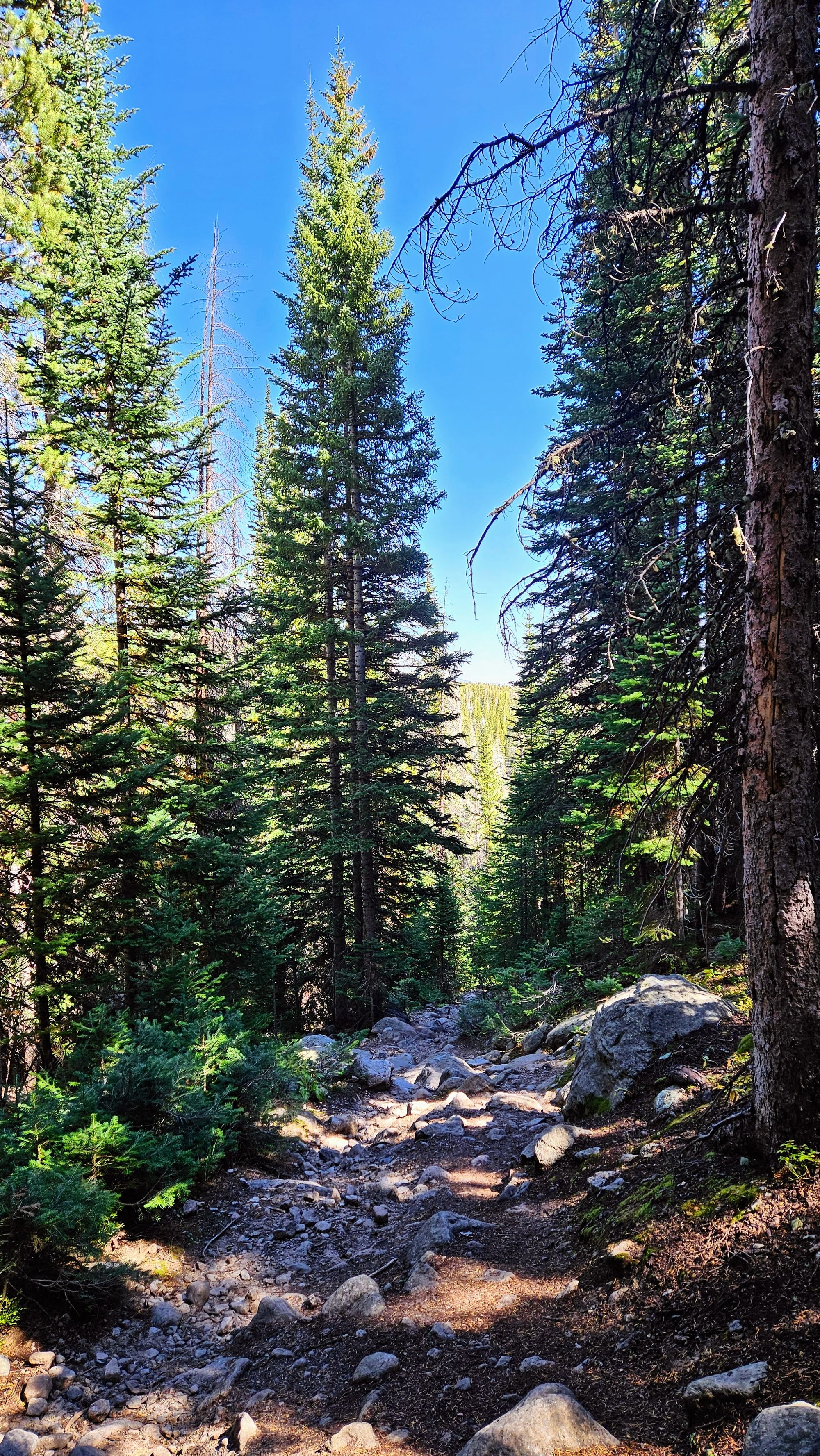
We retraced our steps back to Dream Lake, and then down to Nymph. This is where the All Trails map would tell us to continue back to the trailhead, but instead we decided to take a cut-through that we saw on the map, but weren't sure if it was still a maintained trail. We found it unmarked off the side of Nymph Lake, and while it was certainly less maintained than the rest of the trail, it existed! Lots of the sections of our hike had pavement, steps built into hills, and other visitor-friendly features that we don't often see when hiking in New England wilderness. This cut-through was just dirt and rocks on a descent. Terrain that feels like home! Even better, we were the only people on this stretch of trail.
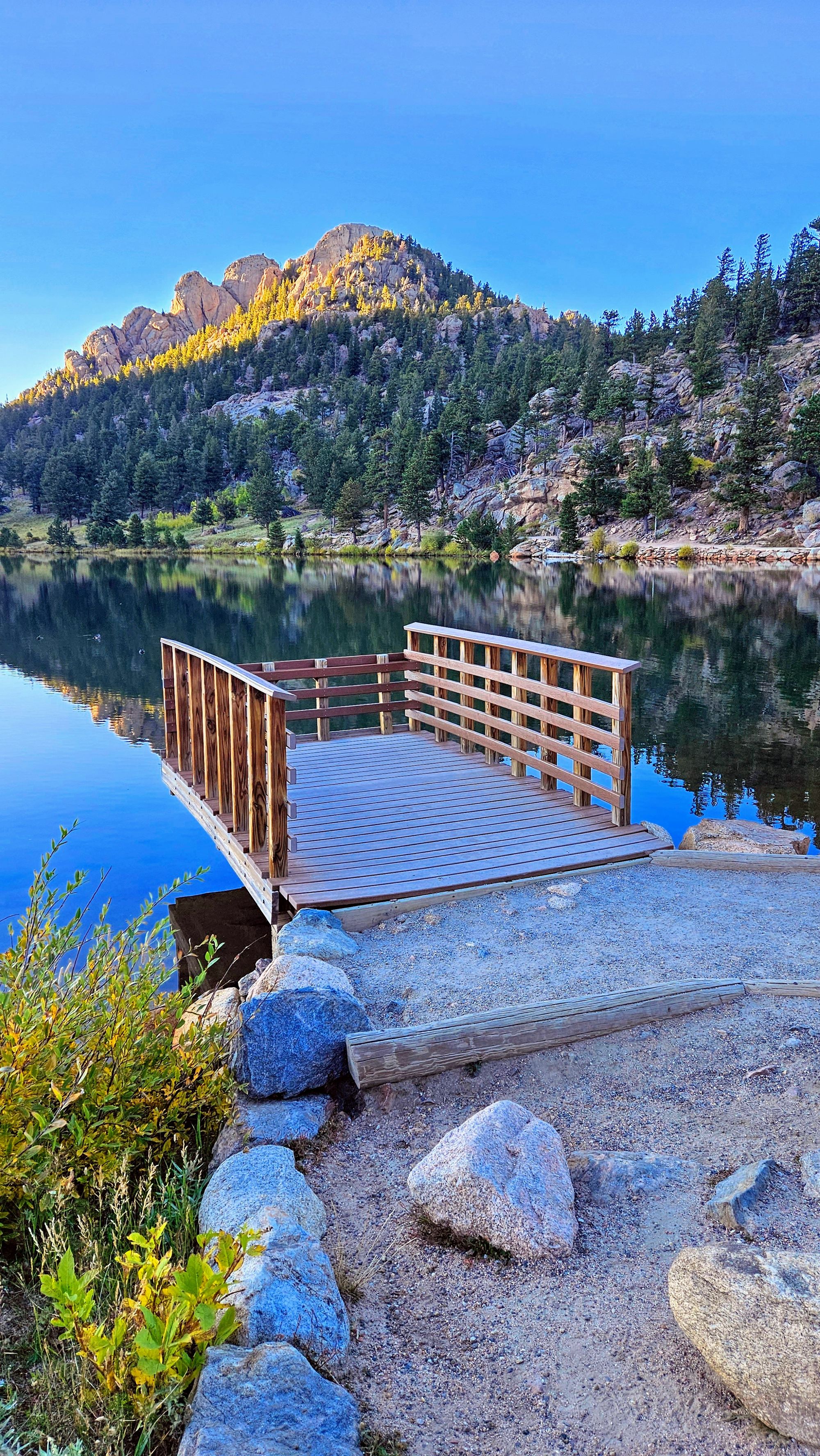
We made it out to Bear Lake, where we circumnavigated the lake clockwise. The trail was easy and is technically accessible, though we noticed some pretty steep and bumpy areas. This remaining mile was a nice cooldown for us. We saw lots of foliage and even had a Steller's jay roam along with us for a few tenths of the mile.
We have to say, we hit it out of the park with this hike. Exhausted and achy, but oh-so-satisfied, we boarded the shuttle back to the truck. On the way, we passed a herd of elk, but that wouldn't be our only sighting. As we turned out of Bear Lake Road, we got to see a bull elk on the prowl. Listen to his bugle call! Rutting season was in full swing.
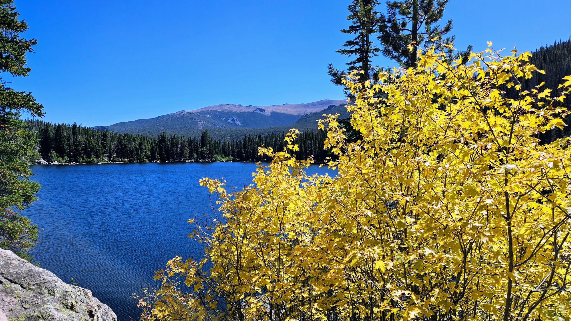
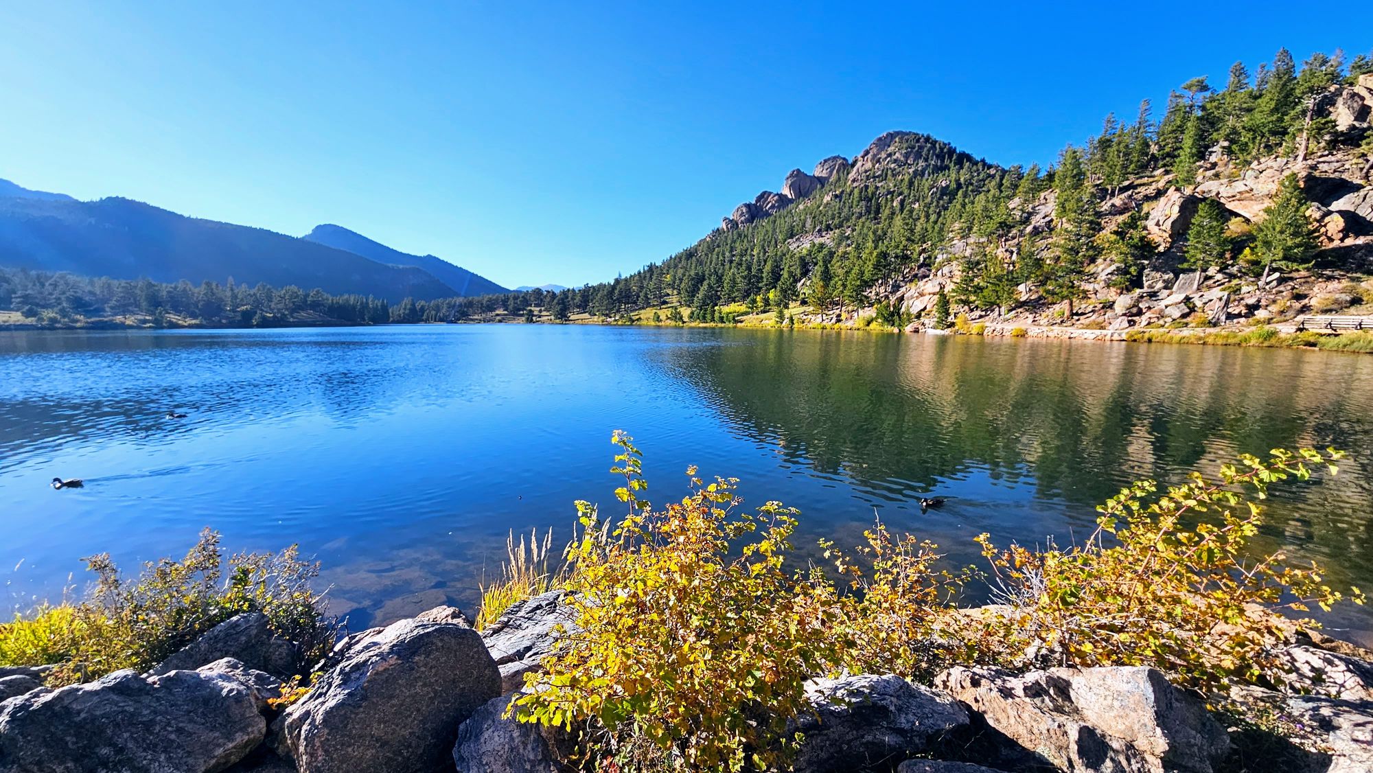
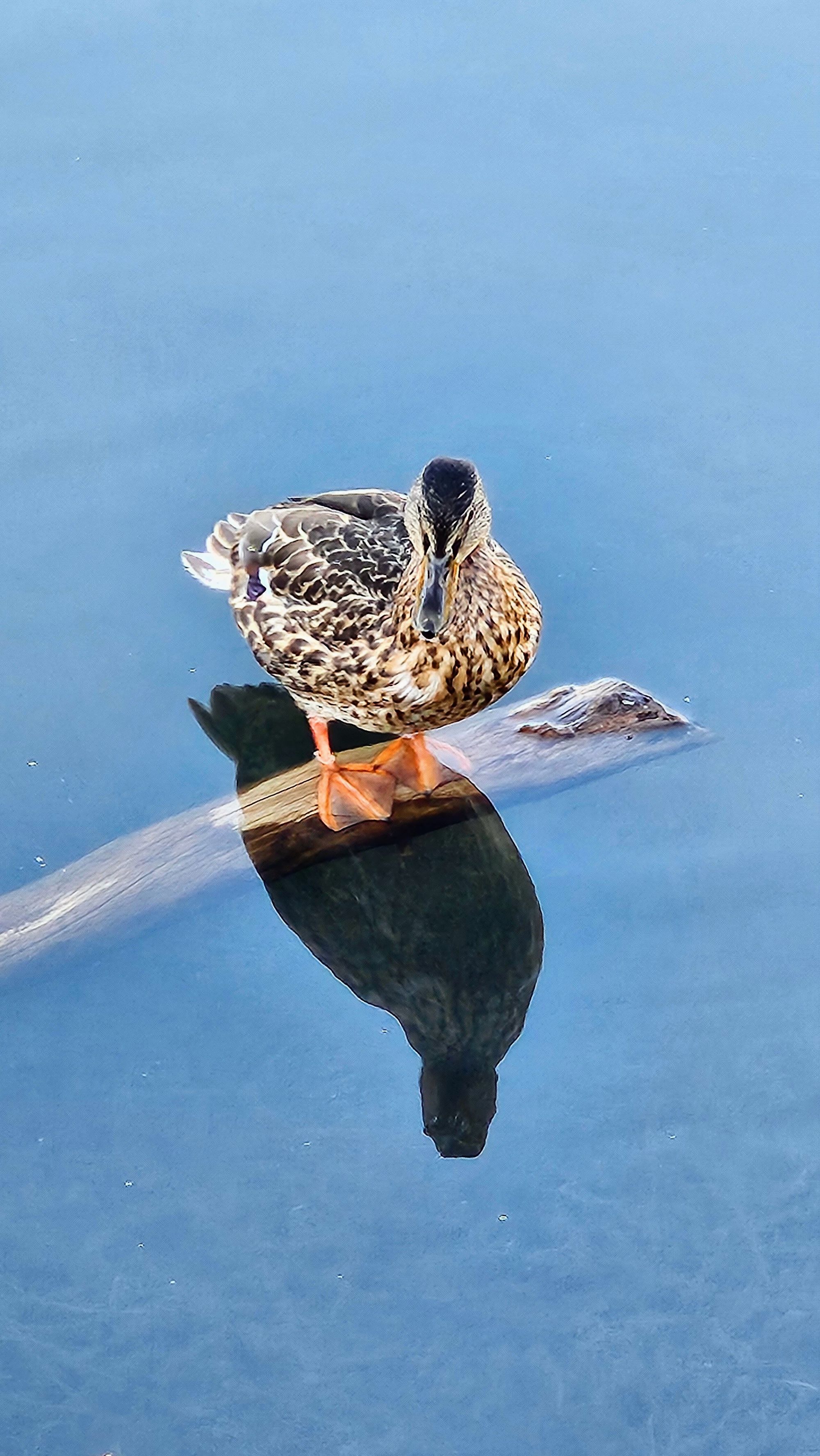
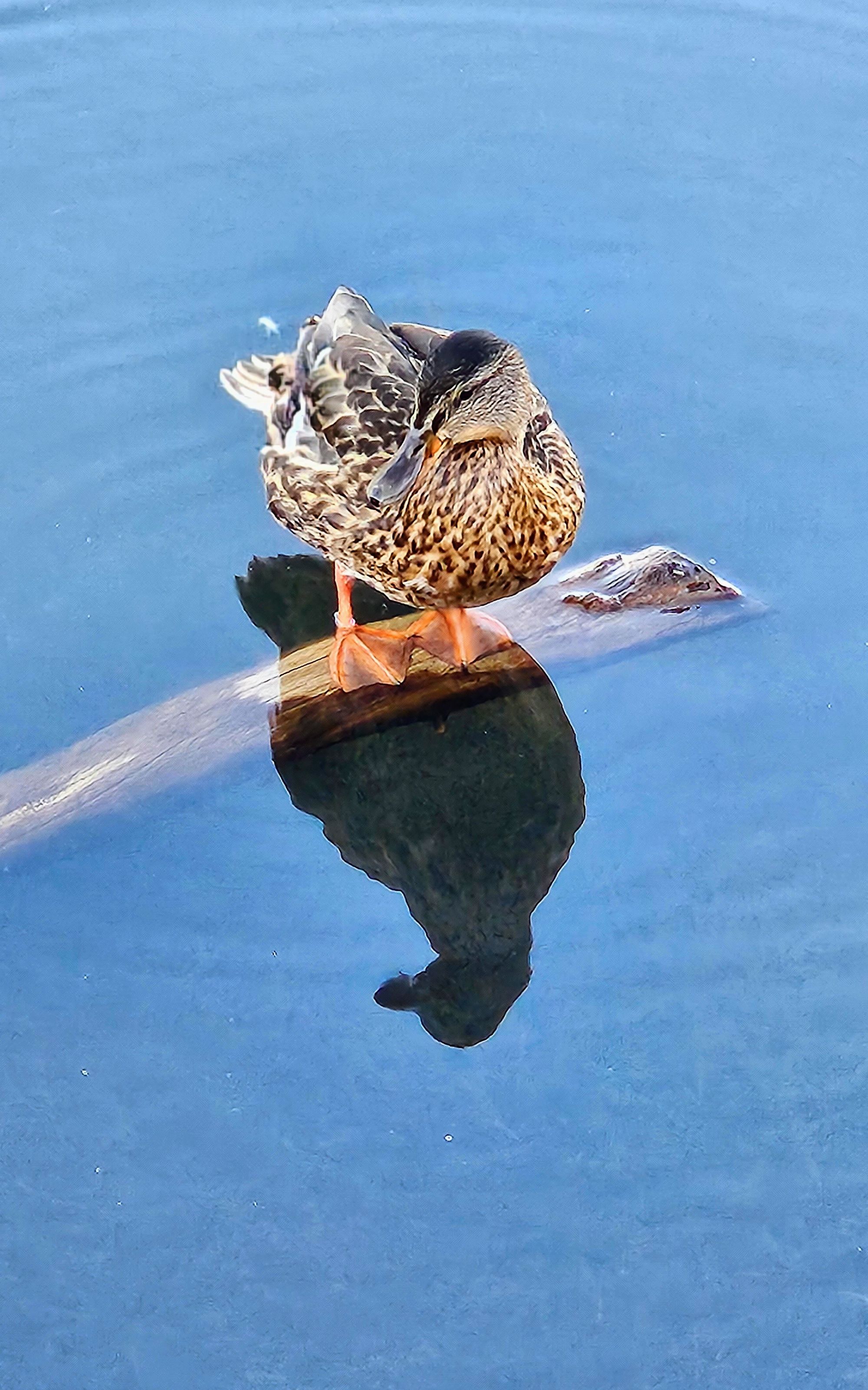
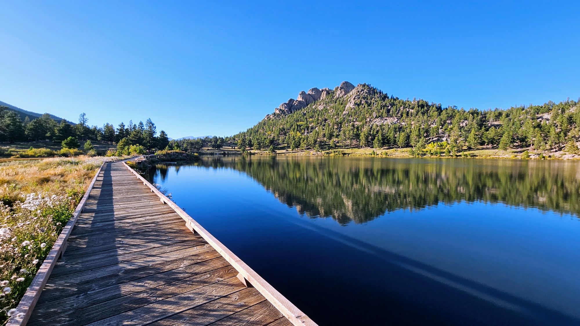
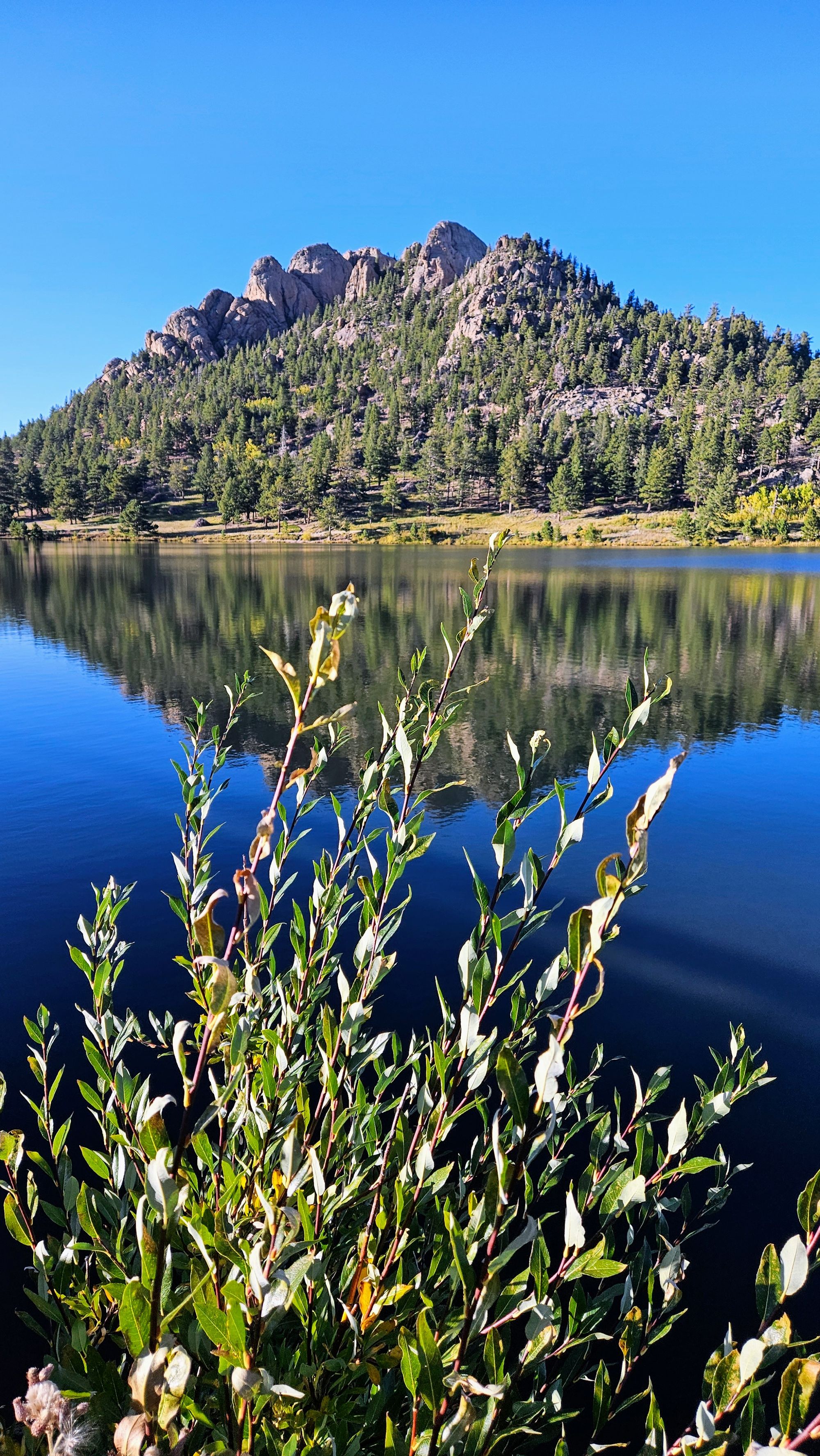
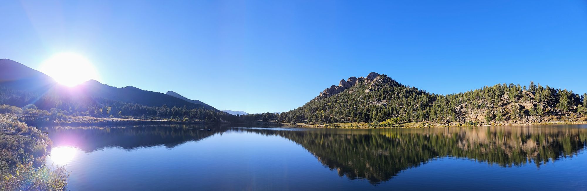
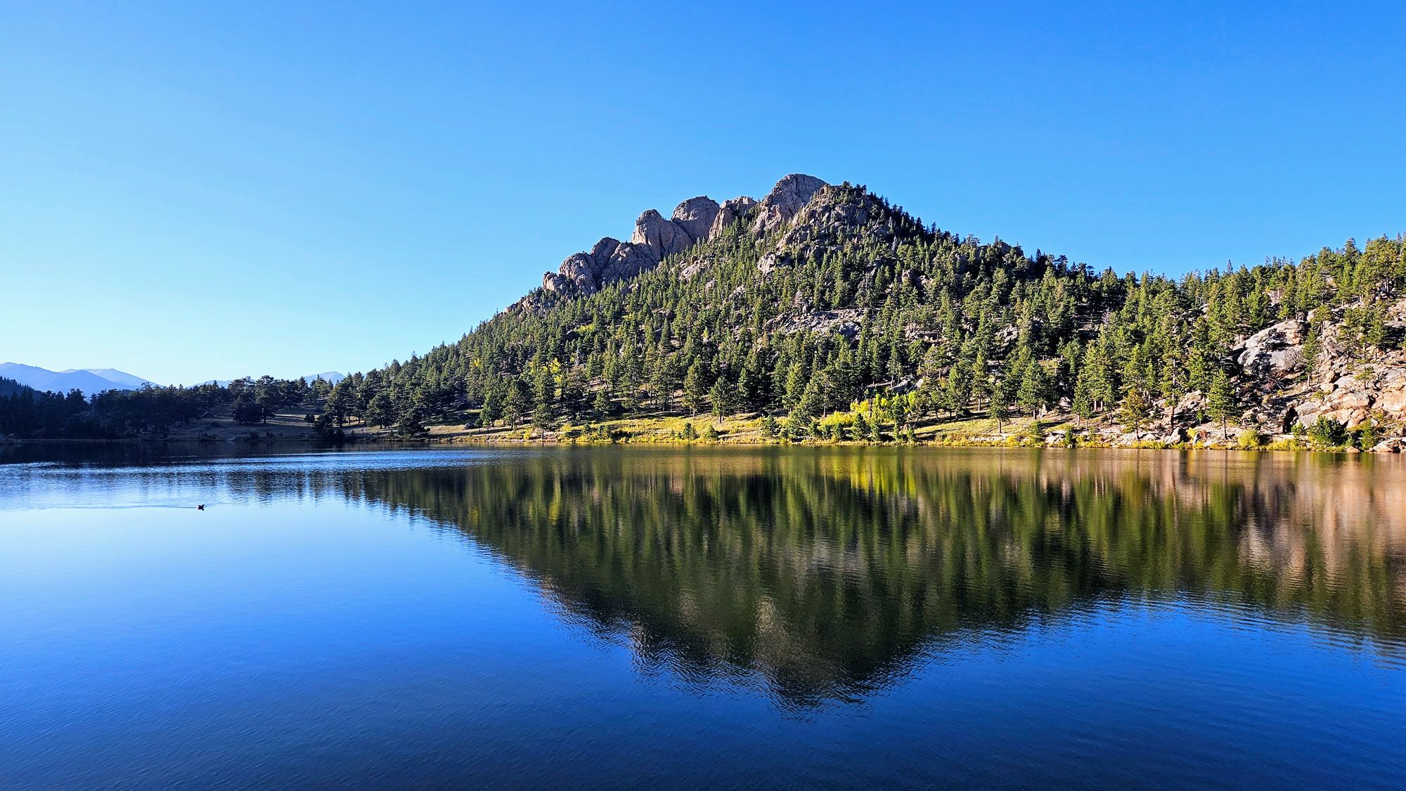
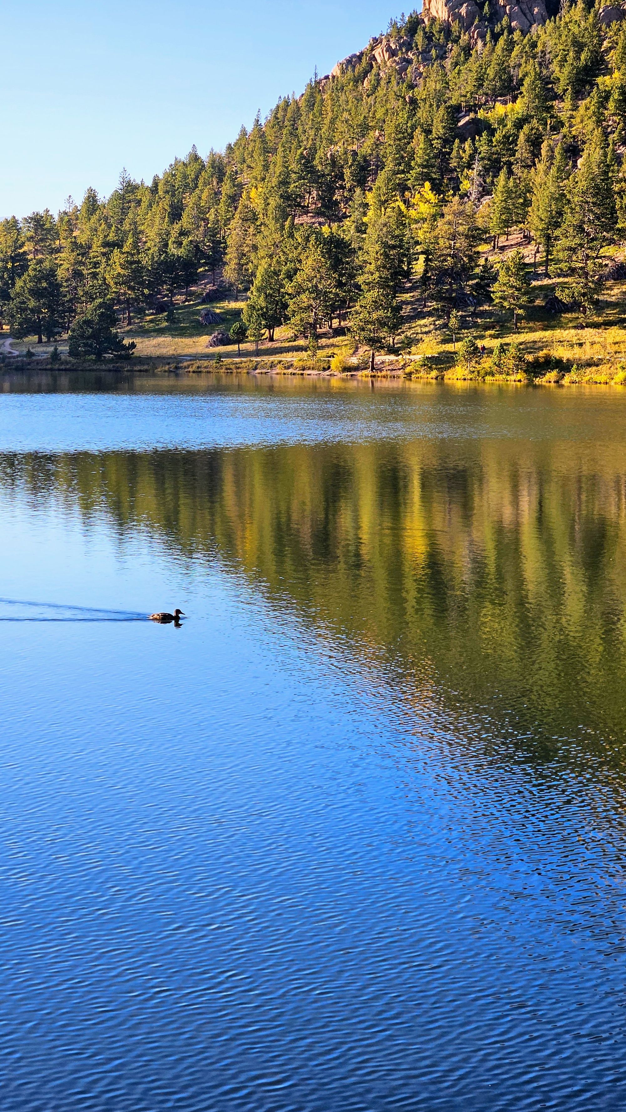
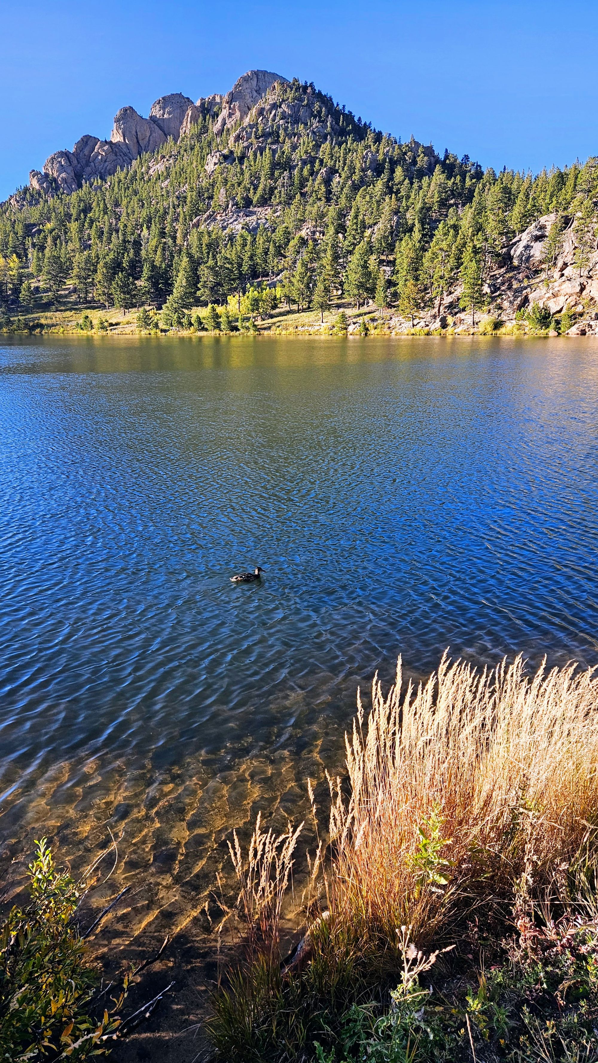
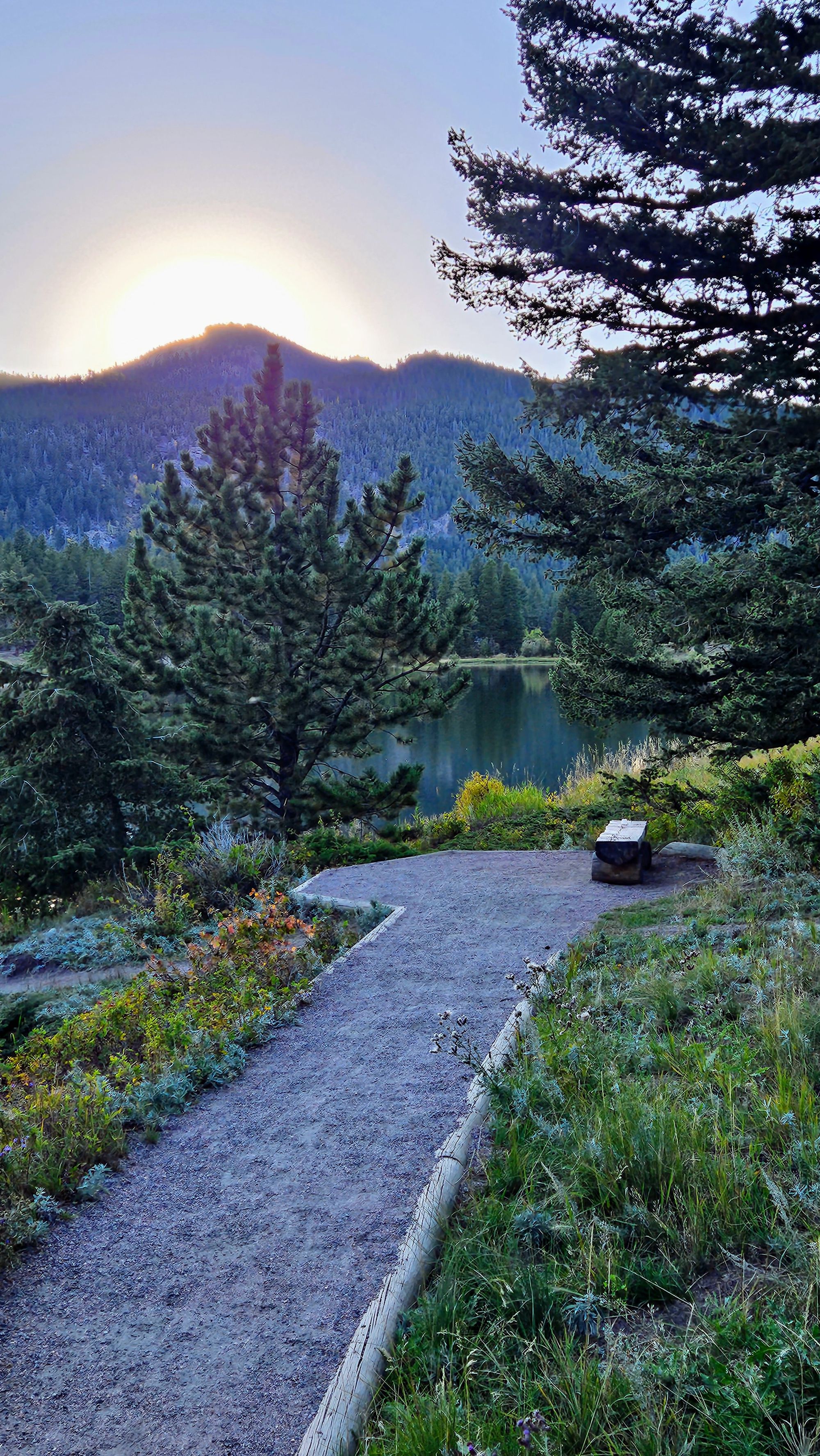
The next day after work, we headed to the outskirts of the park for some active recovery. We couldn't visit Rocky Mountain National Park without a stop at Lily Lake at the base of Lily Mountain. Whenever we see something named Tanner or Lily, we must go! We had a beautiful evening walk, first up on Lily Ridge, which is a slightly more difficult 1-mile hike, and then down along the lakeshore, an easy .9-mile walk. The ducks were feeding, preening and sleeping. The water was calm and created gorgeous reflections of Lily Mountain. If you feel like making a climb up to the ridge, it offers incredible views of the lake below and the mountains in the distance.

And, once again, a memorable elk sighting on our way back to camp.
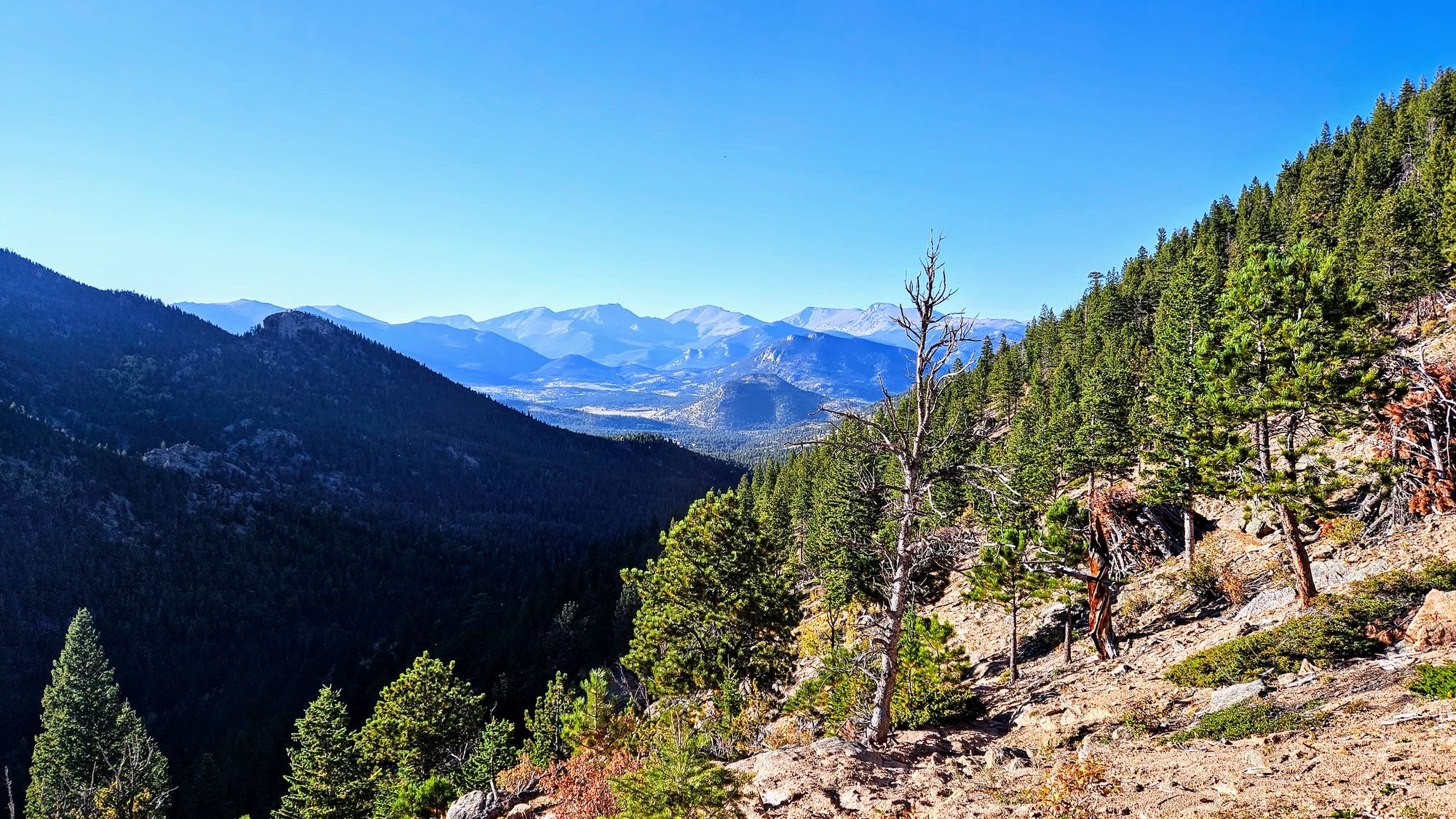
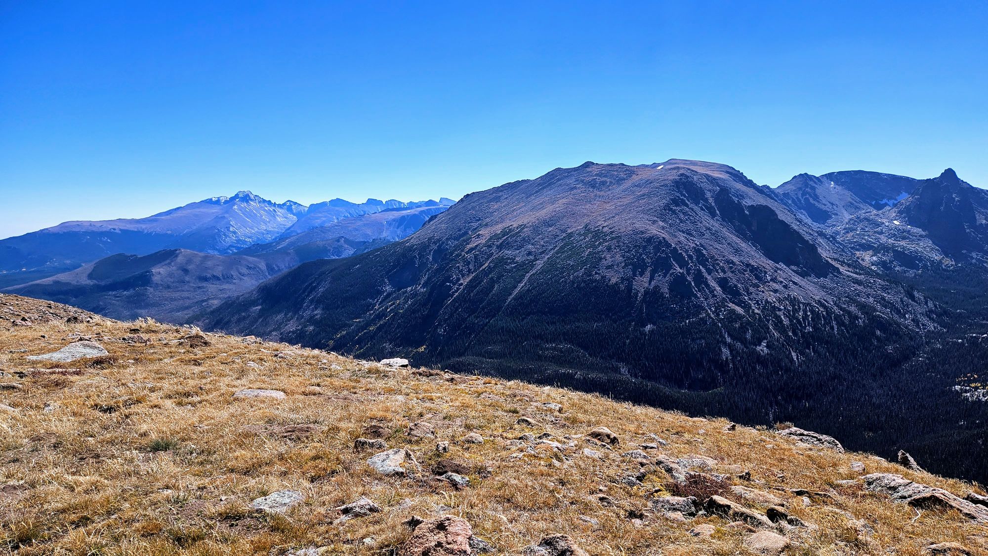
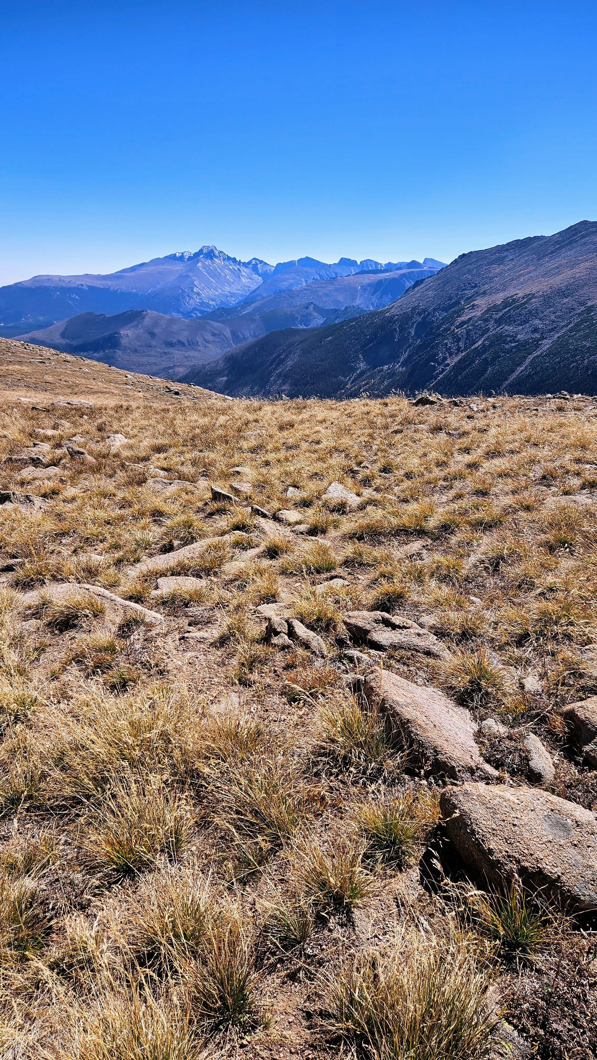
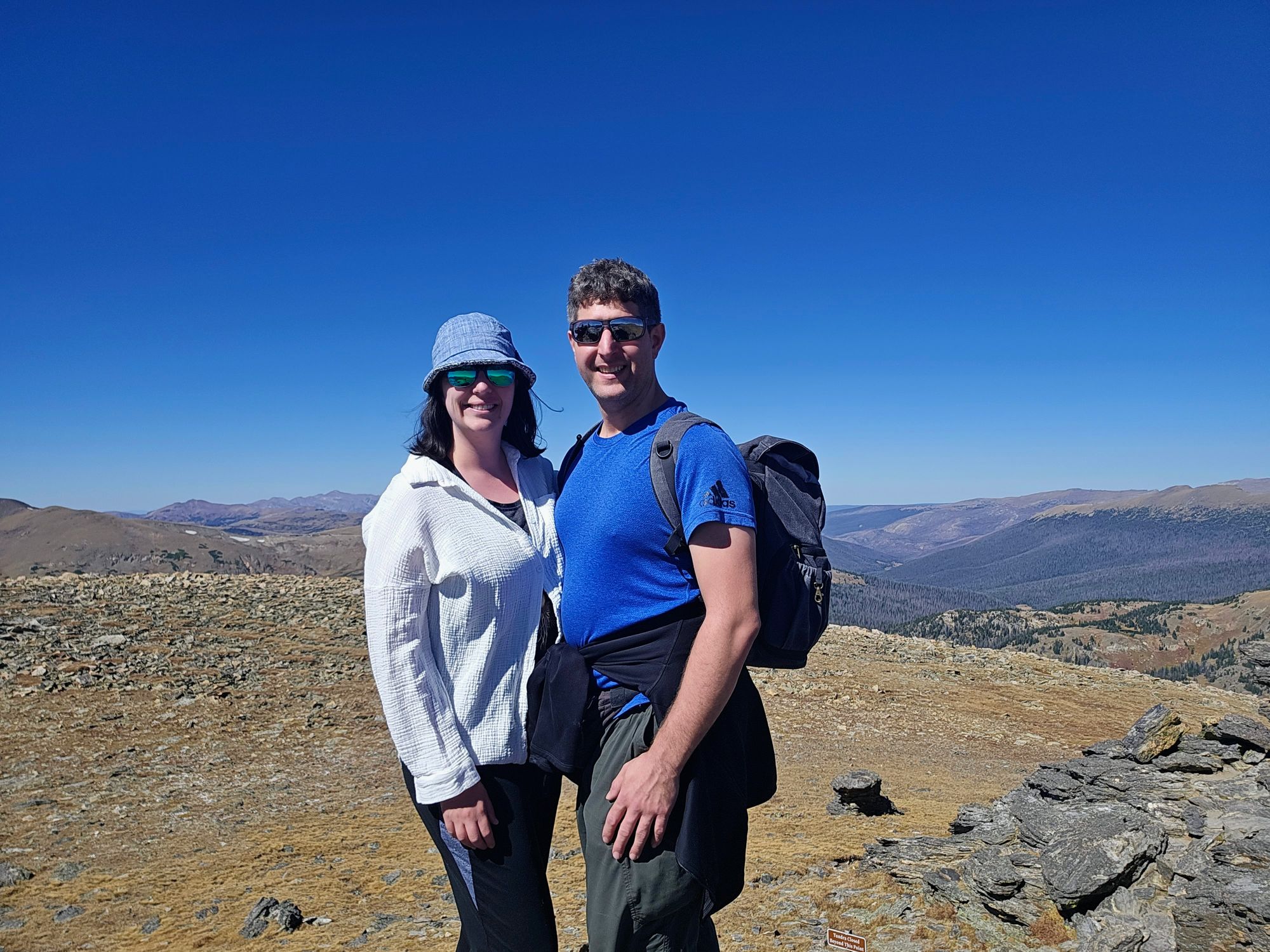
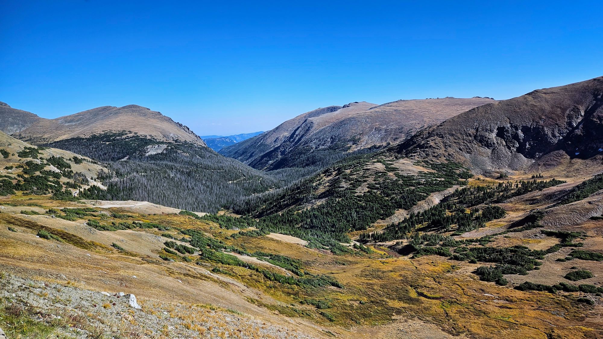
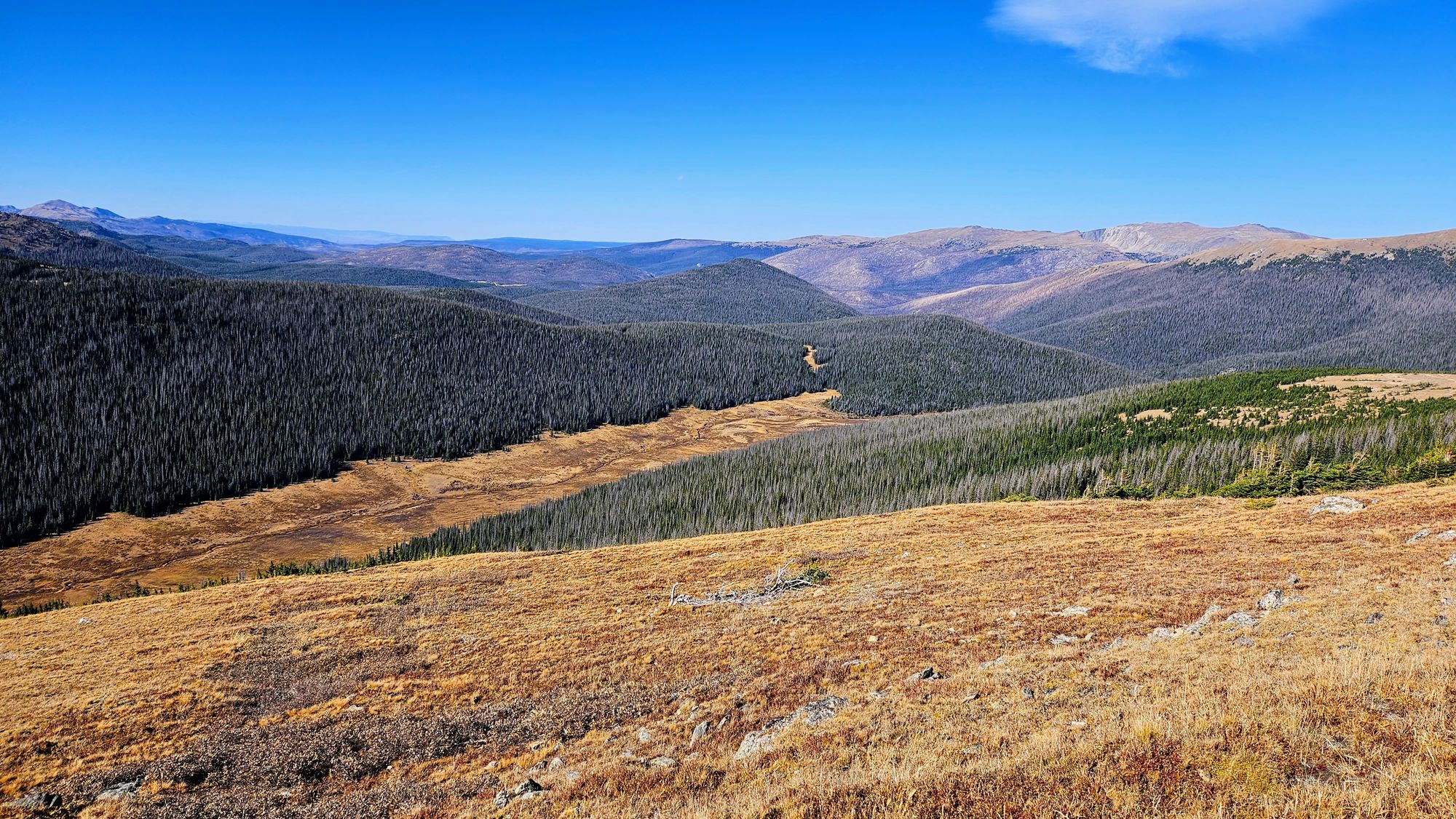
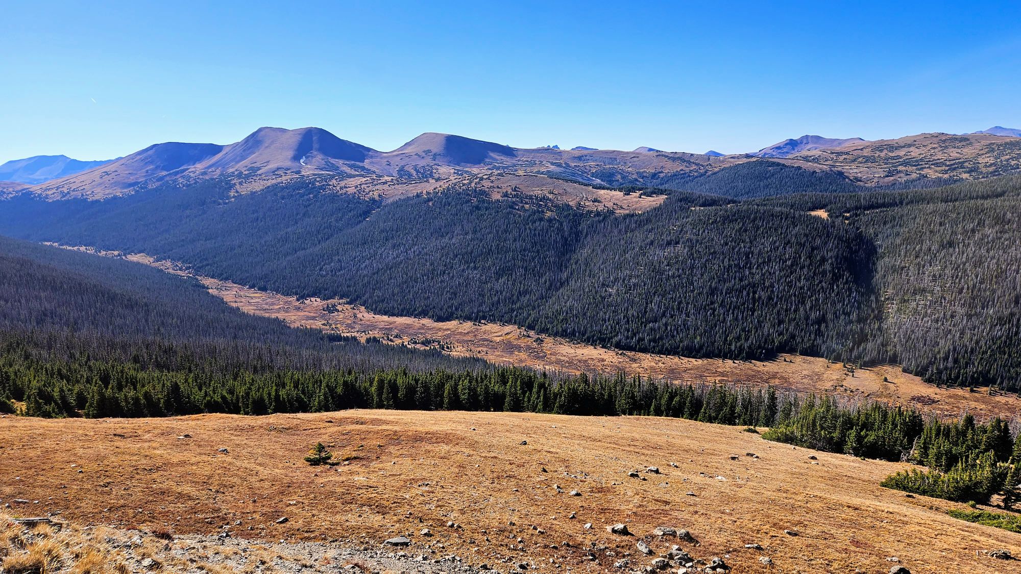
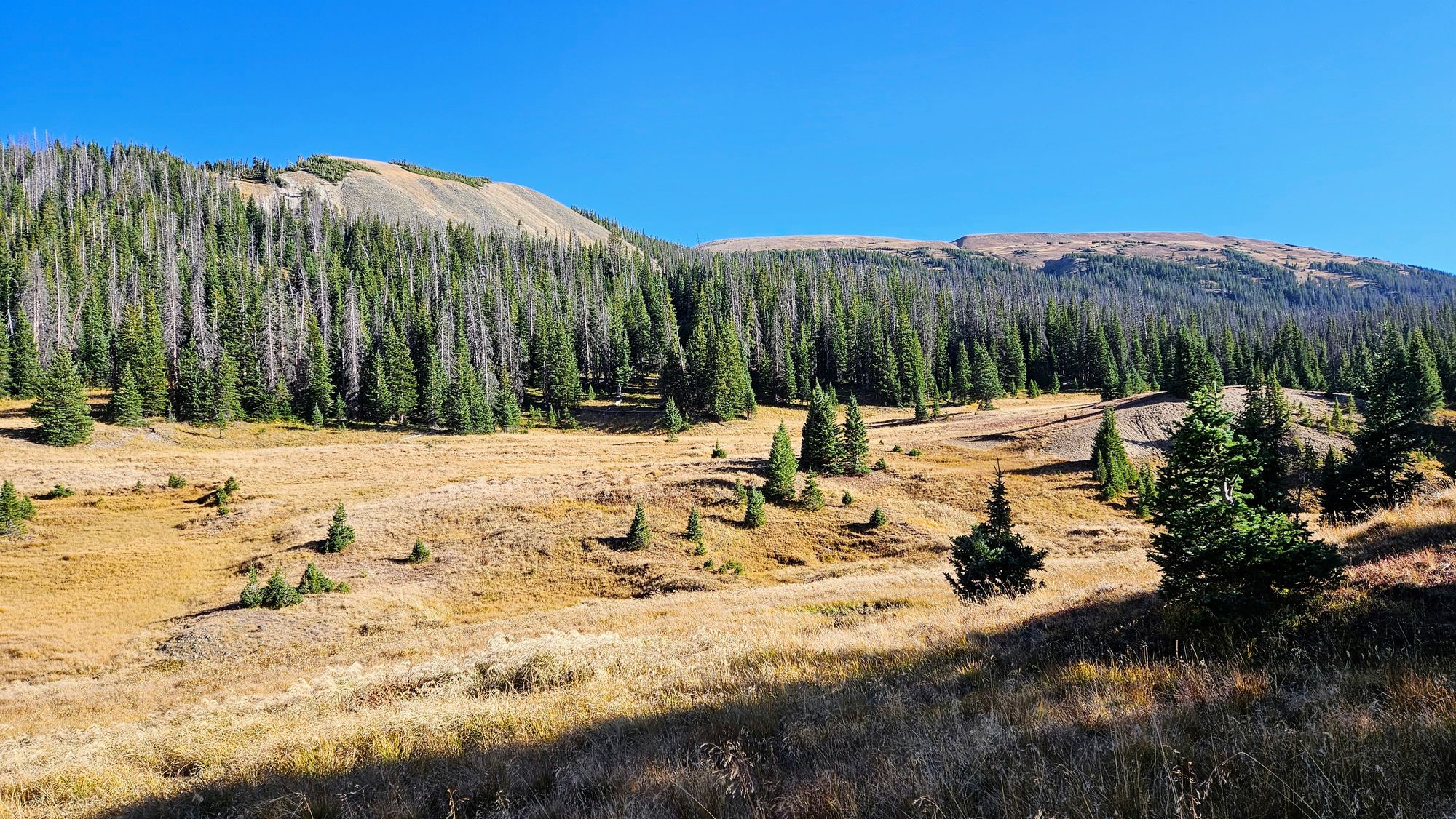
We were able to squeeze in one more afternoon inside the park, and this would be our biggest adventure yet. I planned a scenic driving and hiking itinerary on Trail Ridge Road, the road that traverses the mountain pass and connects the eastern and western sides of the park. It's also the highest elevation road in any US national park. We'd be ascending up to over 12,000ft at the highest point, stopping along the way for overlooks, short hikes, and slightly longer hikes.
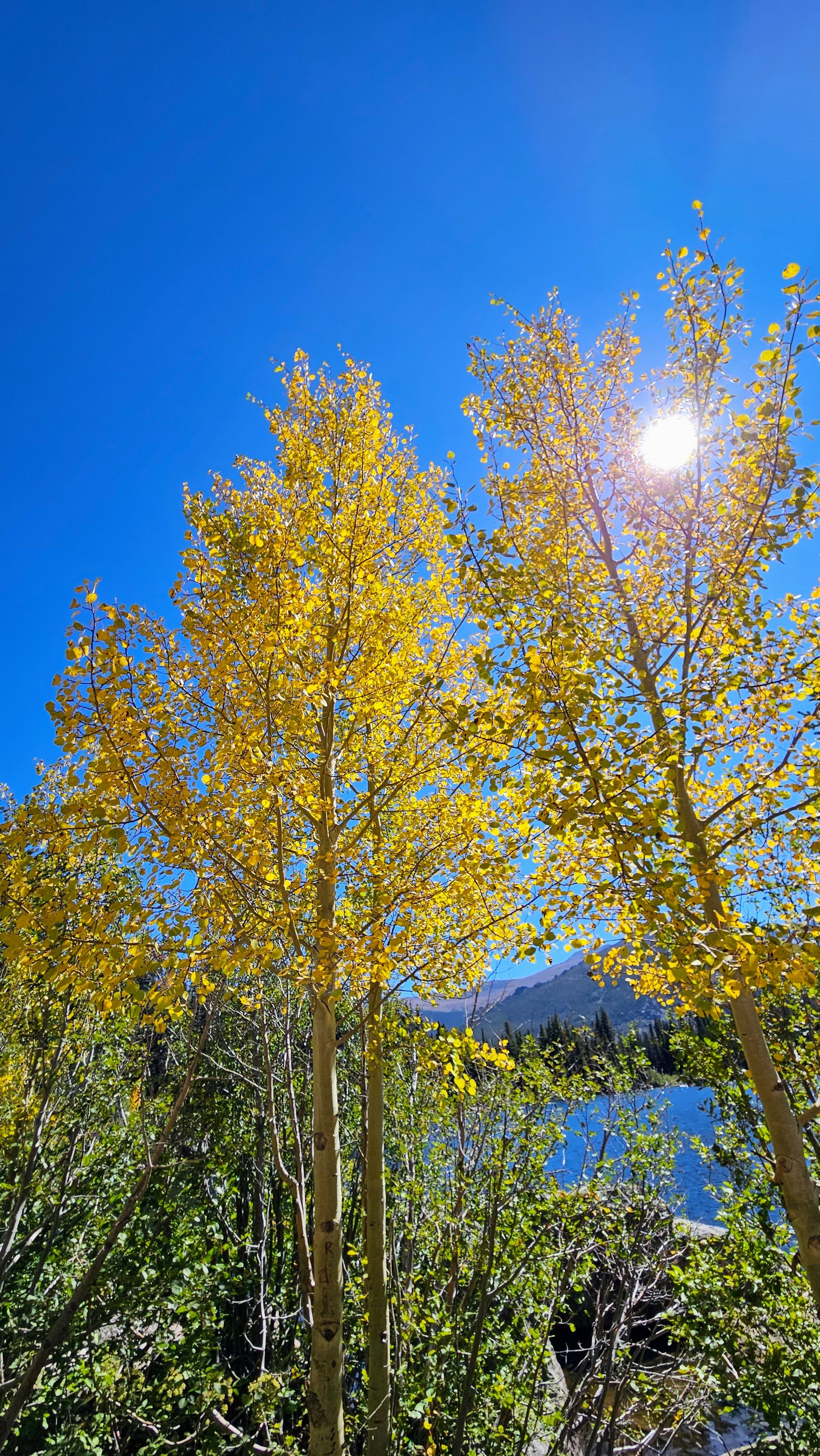
Right away, we were dazzled by mountain views and pops of color of the aspen trees.
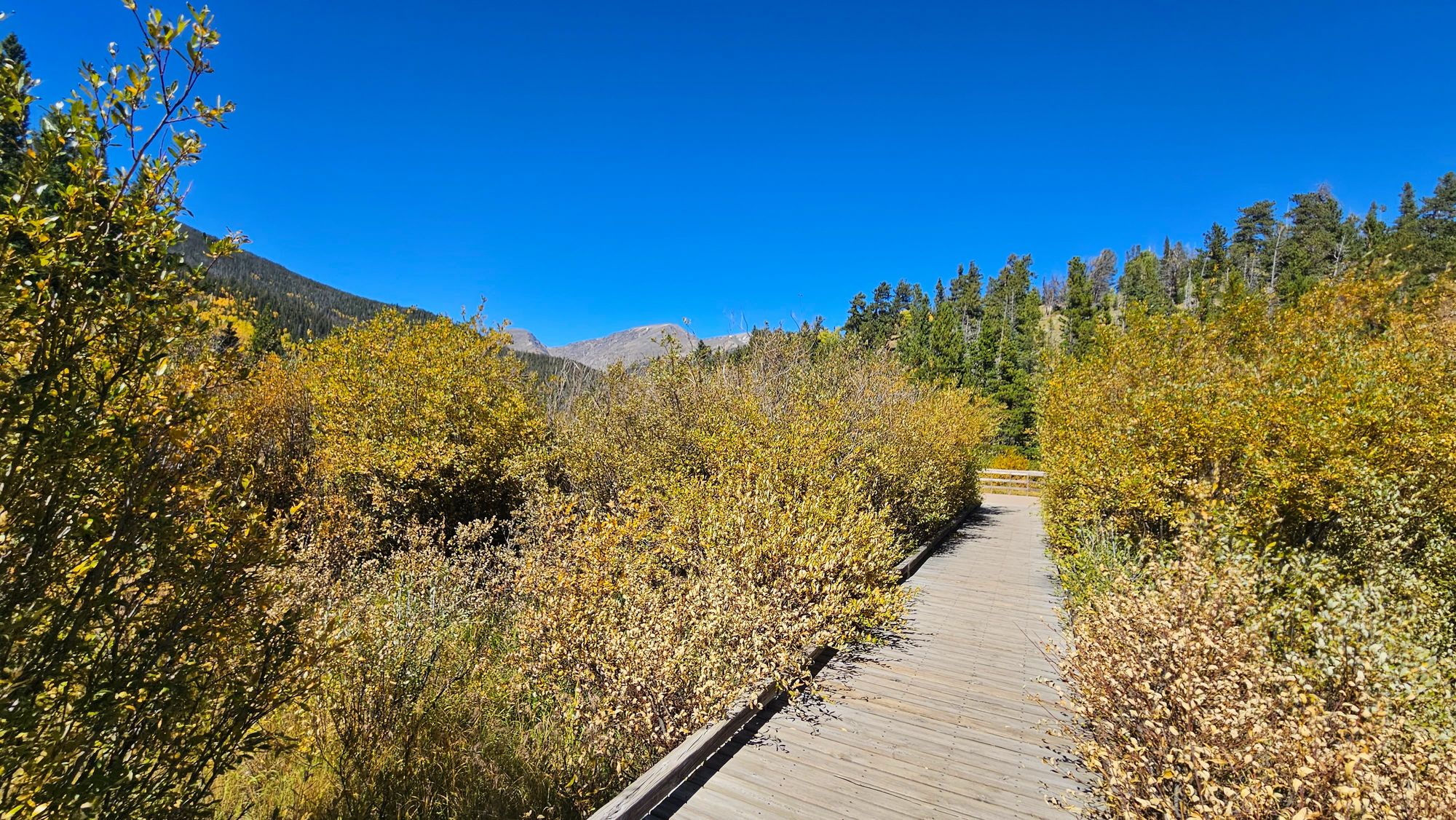
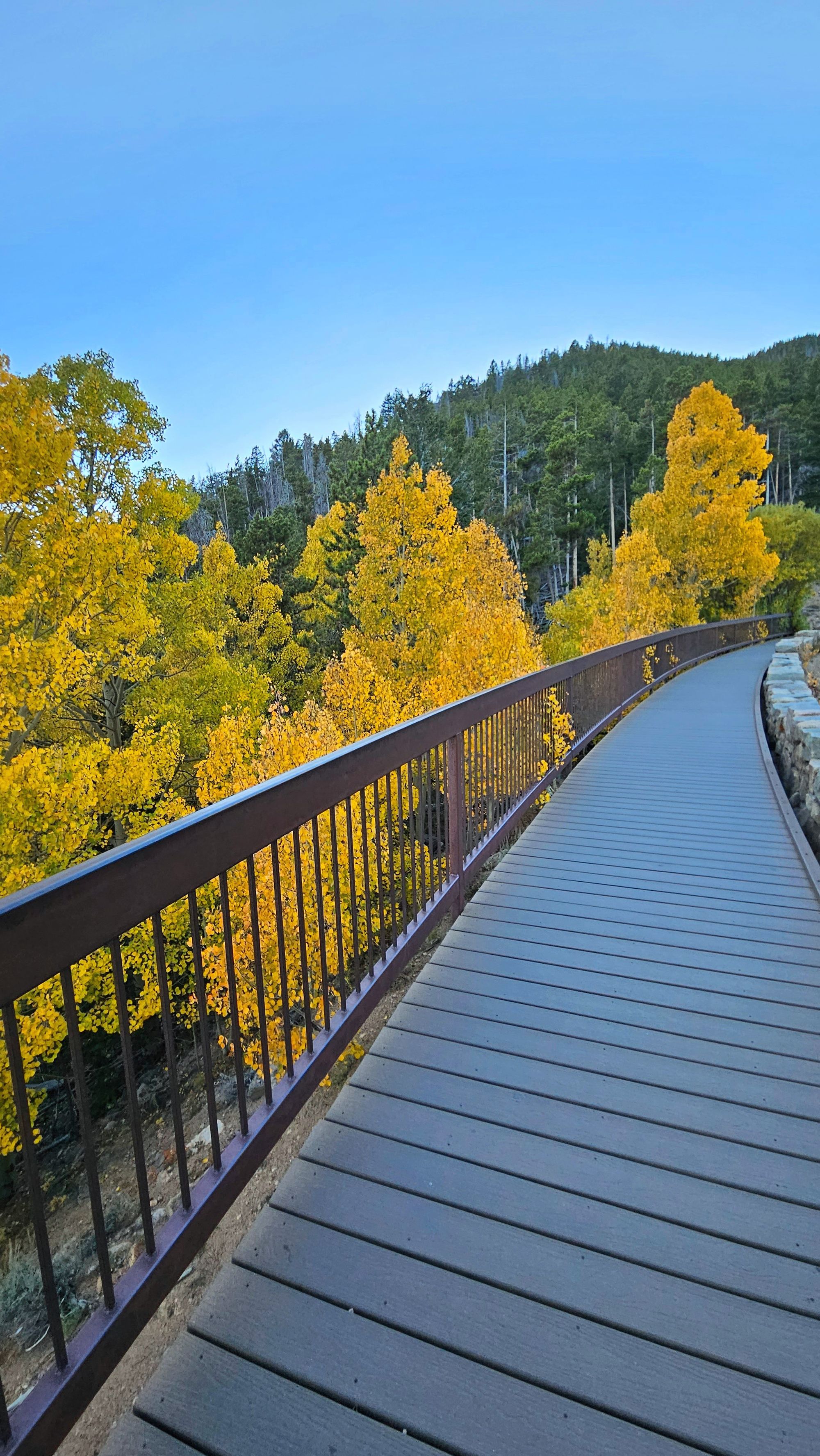
We saw more foliage at our first stop, Beaver Ponds Boardwalk. This is a short walkway that leads down to a viewing platform over the pond.
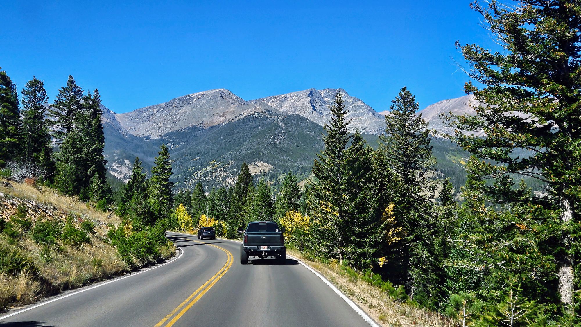
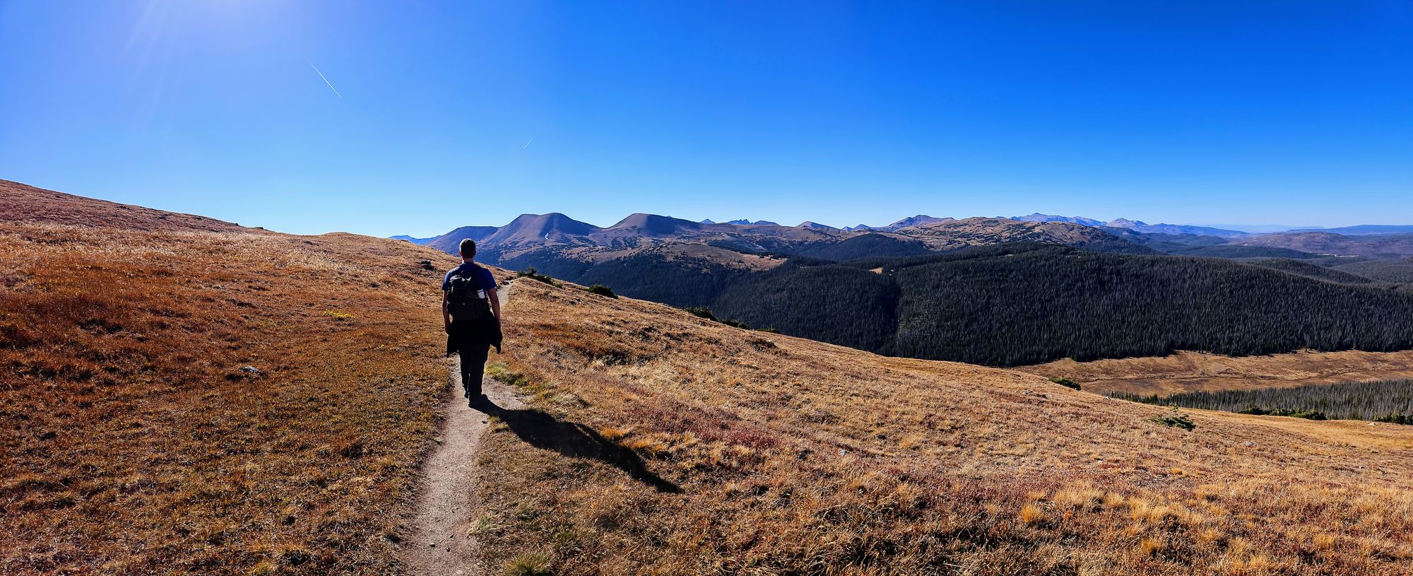
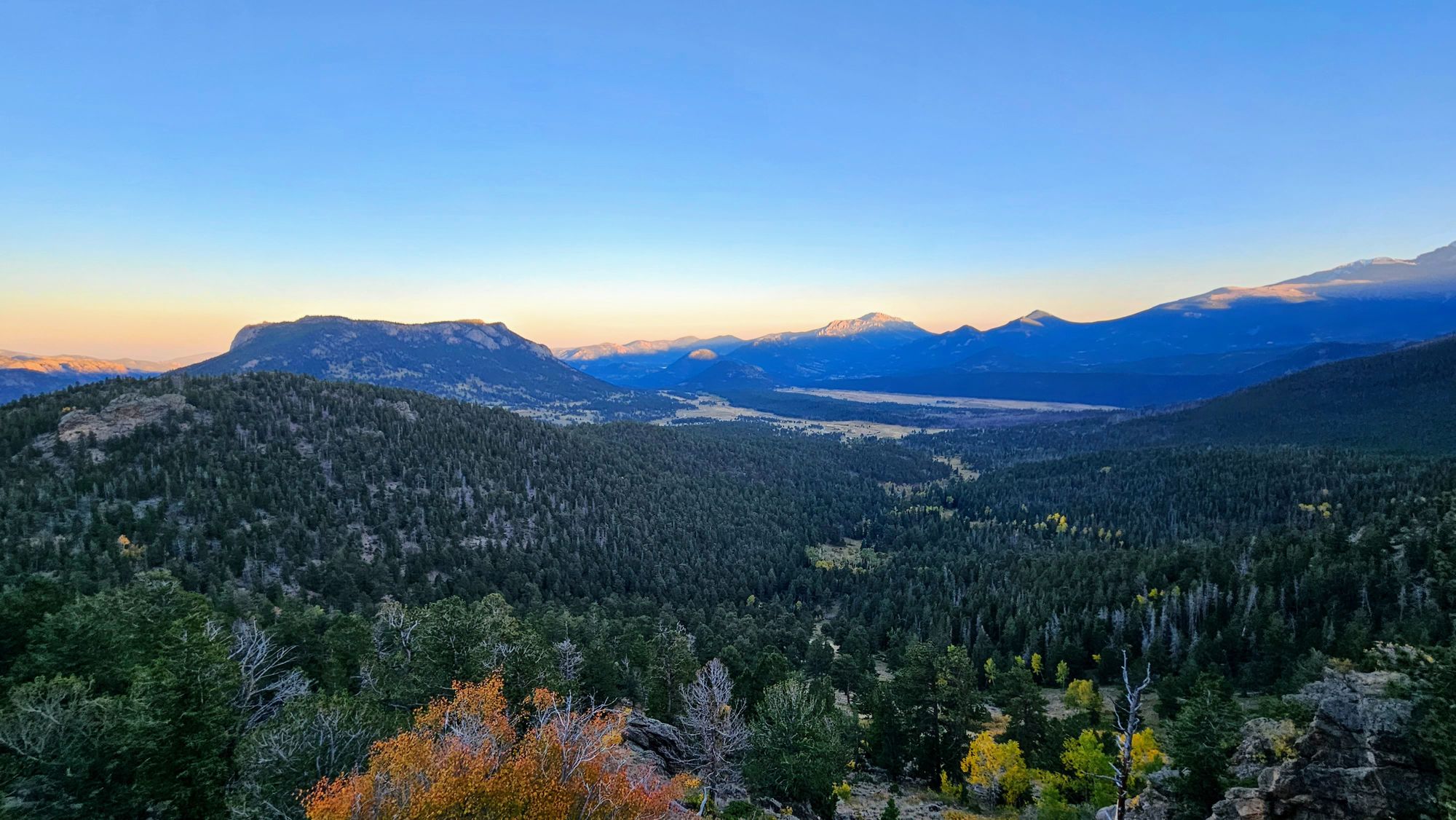
As we continued upward, more fall colors lined the sides of the road, and the road rose up to meet the mountains. Parts of the drive were definitely nerve-wracking; there were twists and turns and a lot of exposed edges, but we couldn't deny our amazement when looking at these mountains as we gradually ascended above treeline.
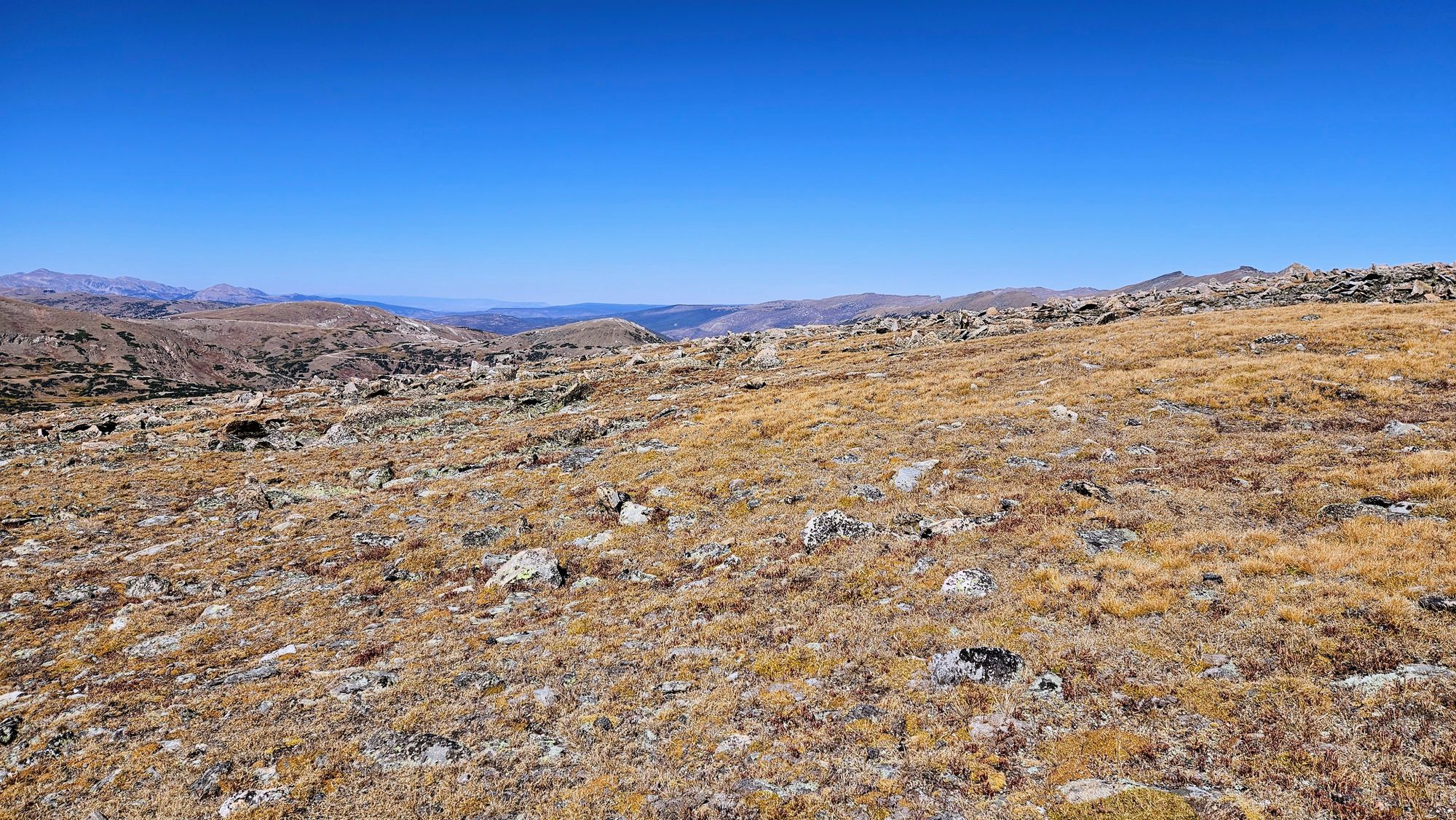
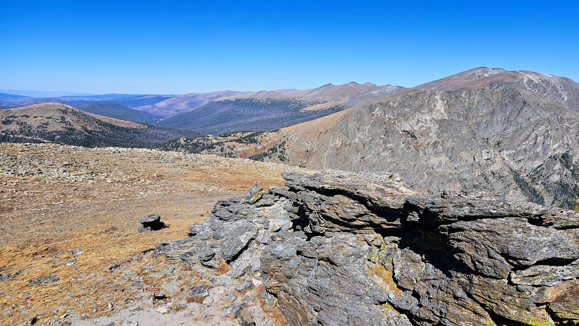
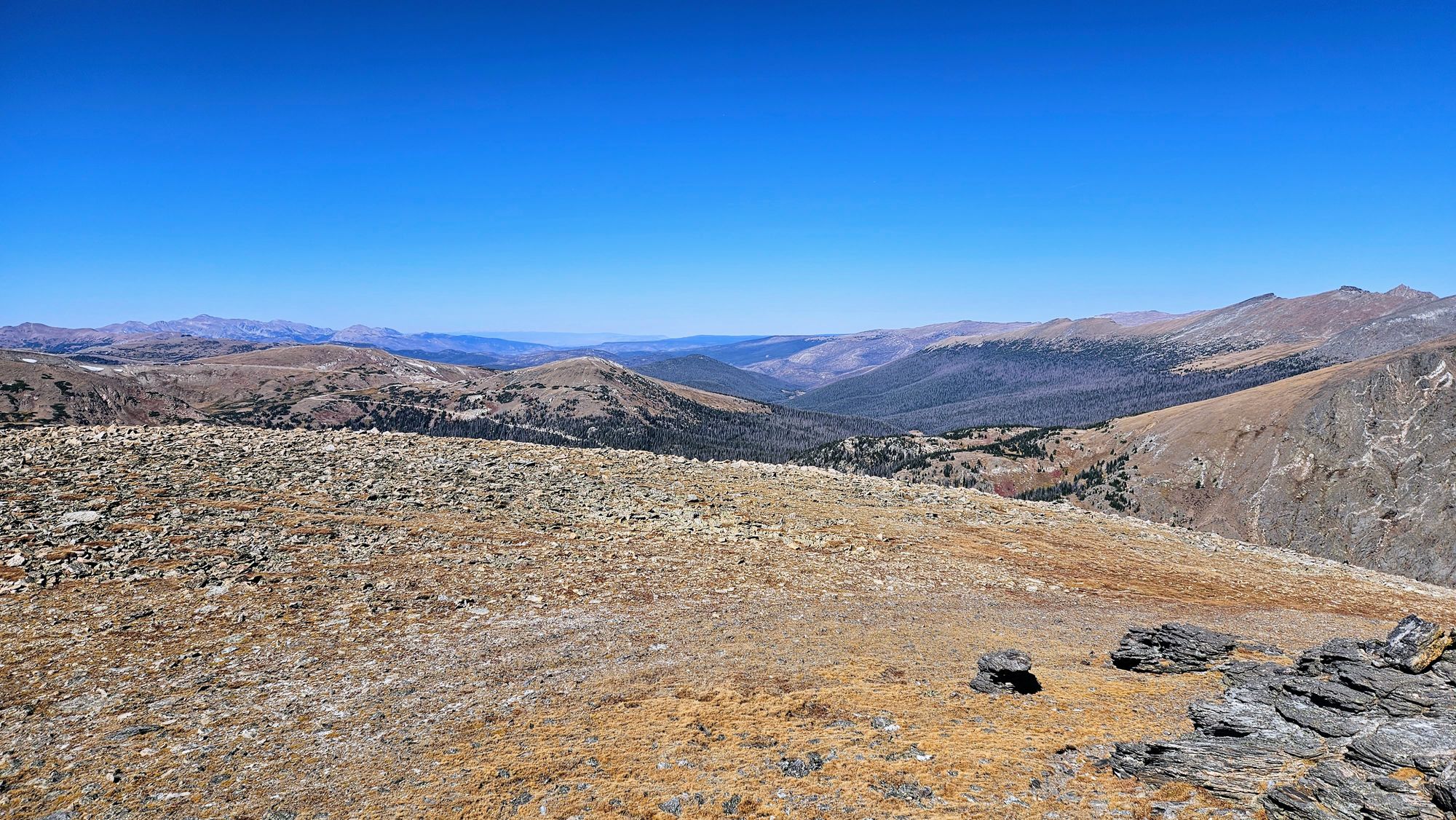
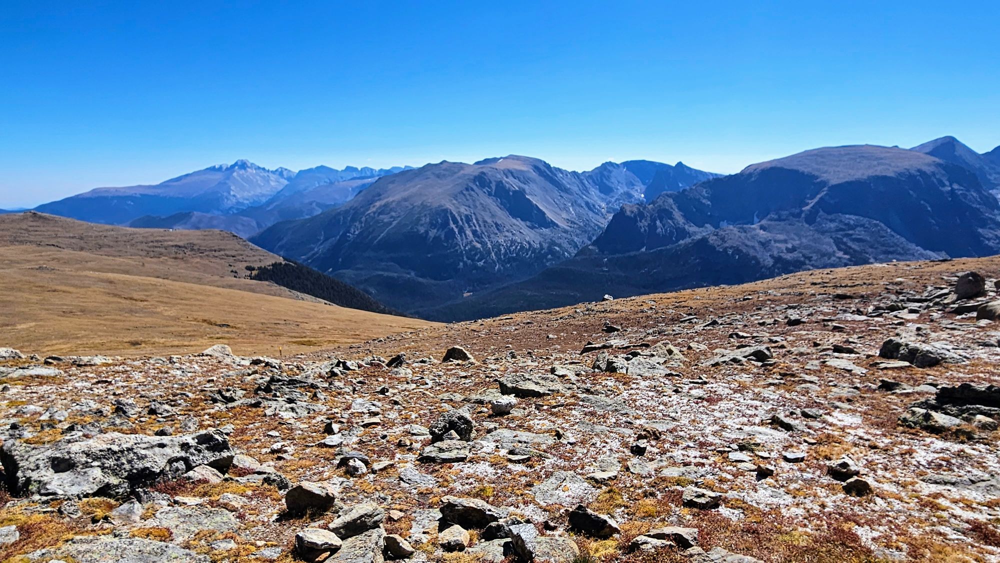
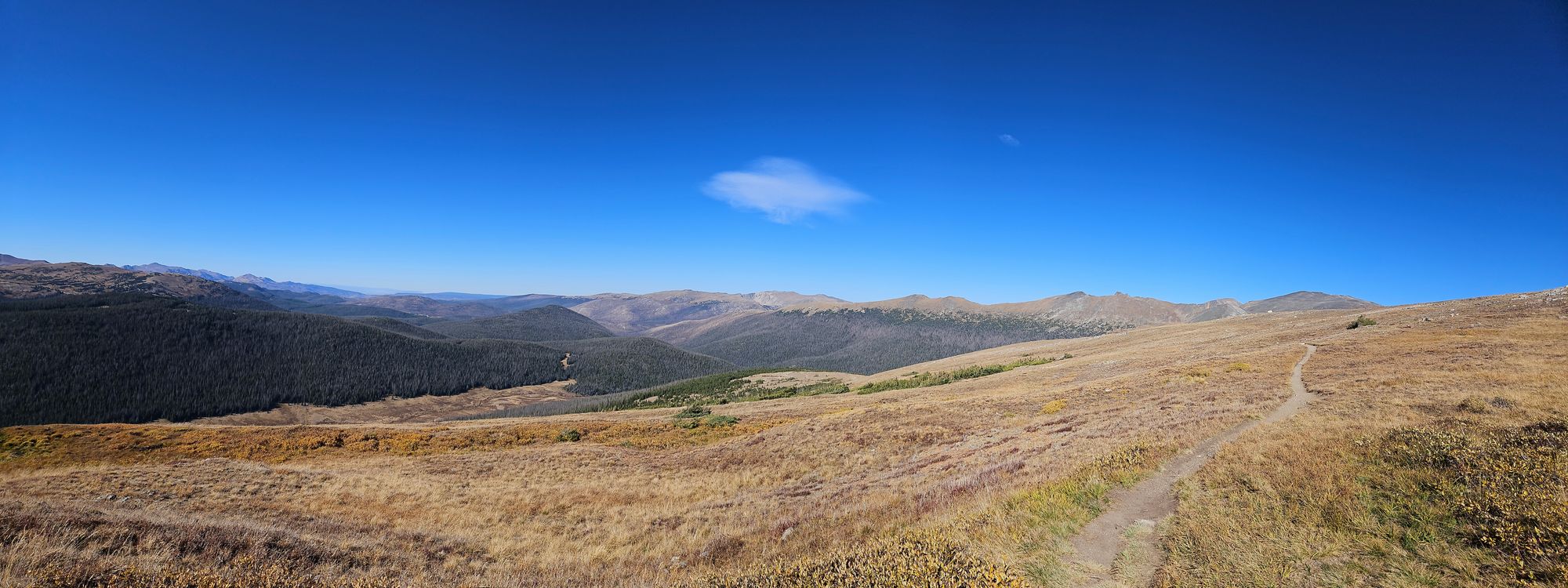
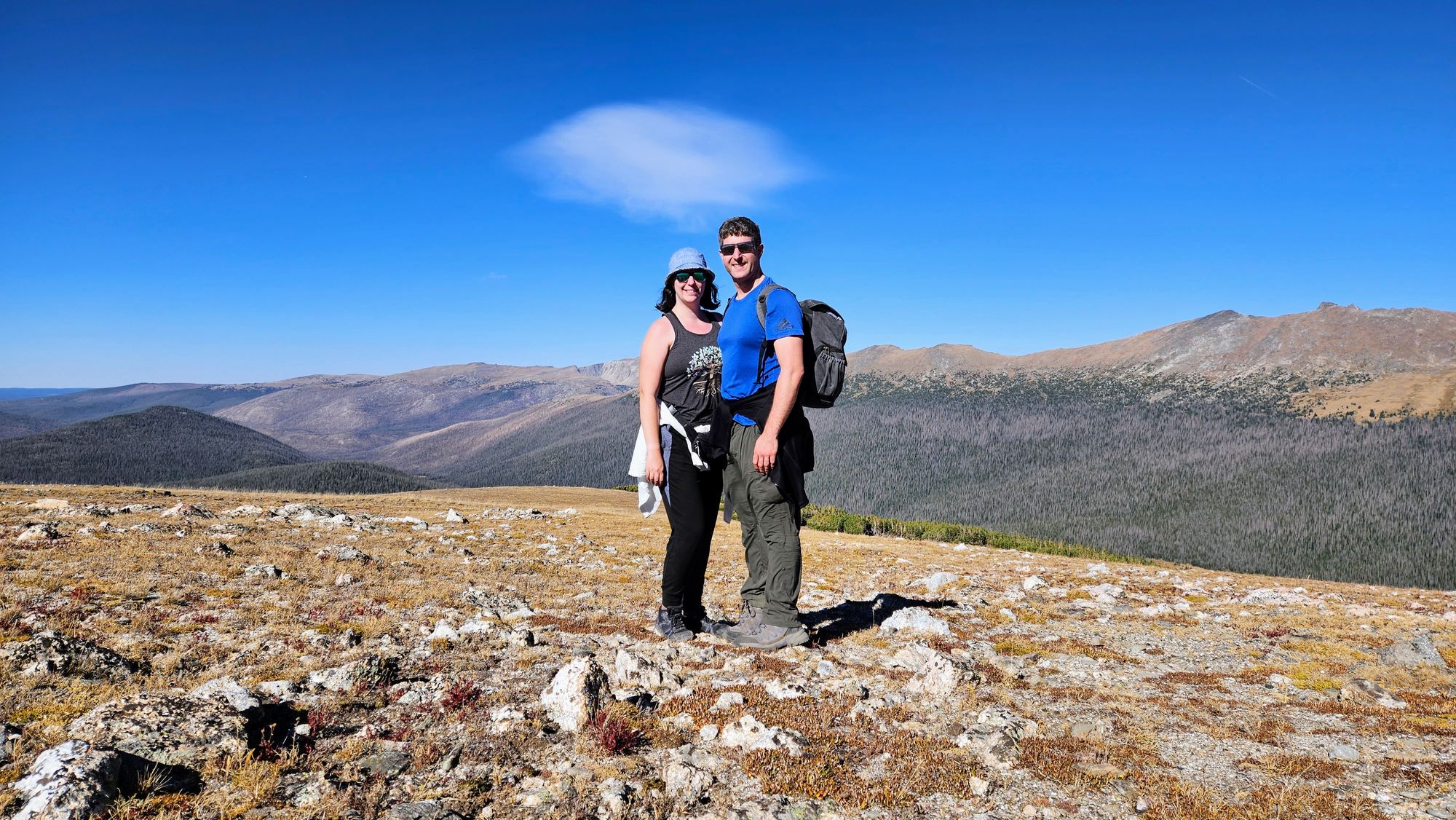
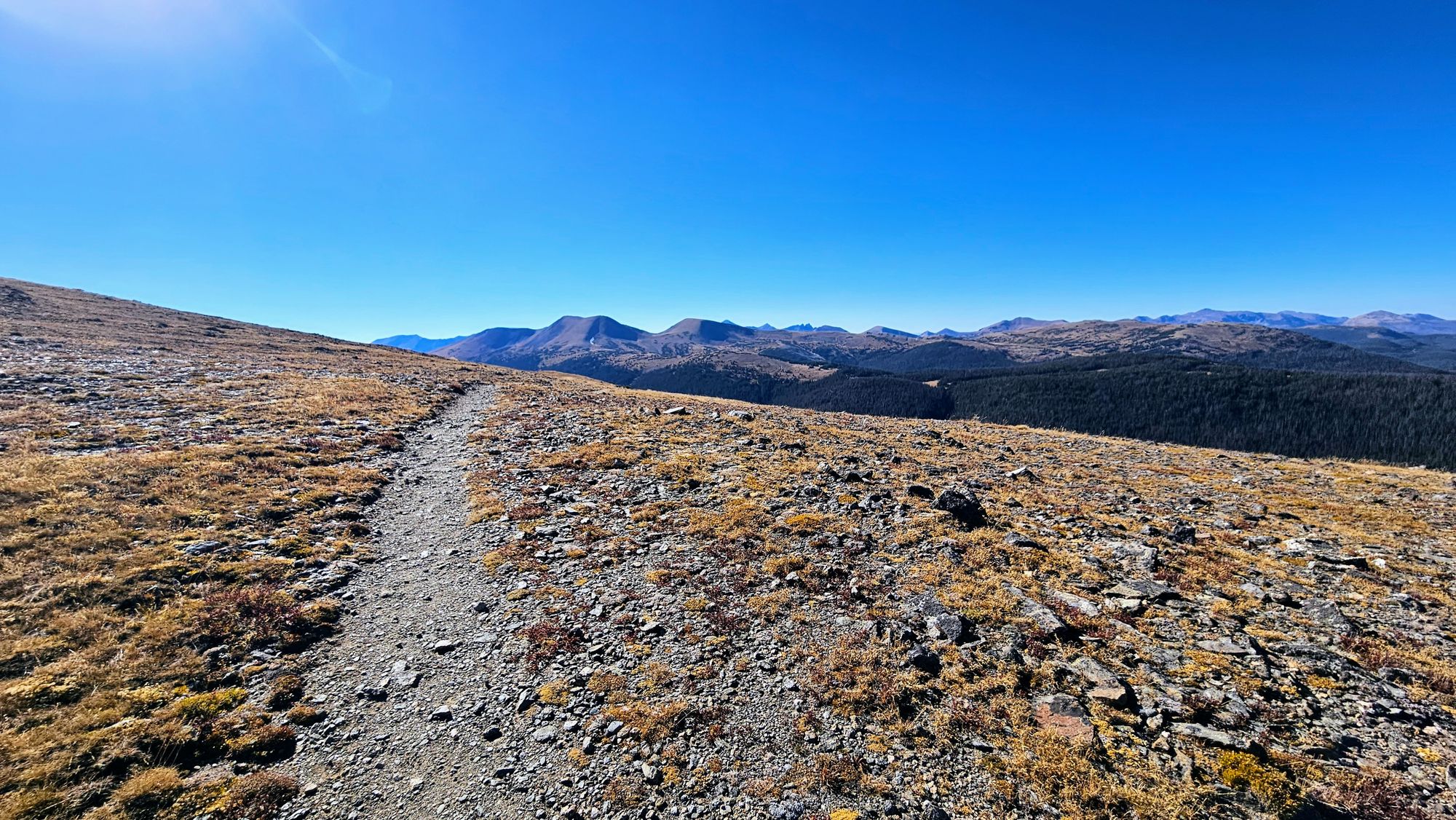
It's incredible how much the landscape changed as we drove up into the alpine zone. Signs were posted everywhere warning drivers that we were entering fragile territory and were also at risk for some rapidly changing, severe weather. Only, as you can see, severe weather wasn't actually a concern on this day. We had beautiful, sunny blue skies and temperatures in the 60s. We pulled off at the Forest Canyon Overlook and got our first real look at the tundra. After that came the fun climbs, first the Toll Memorial Trail and then the Alpine Ridge Trail. Both of these trails are short but have some good elevation gain, and that's saying a lot when we're venturing over 12,000ft. We saw some amazing lava rock formations and were surrounded by the patches of grass and brush that make up the tundra. Soon winter will roll in and dump several feet of snow on the area, but in the fall, we got to see the plant life that has adapted to survive in such an extreme climate.
Forest Canyon Overlook
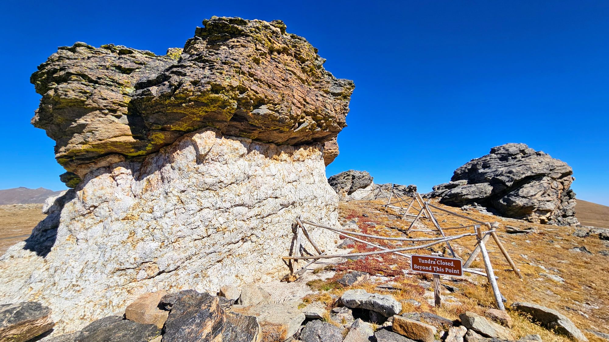
Toll Memorial Trail and the Mushroom Rocks
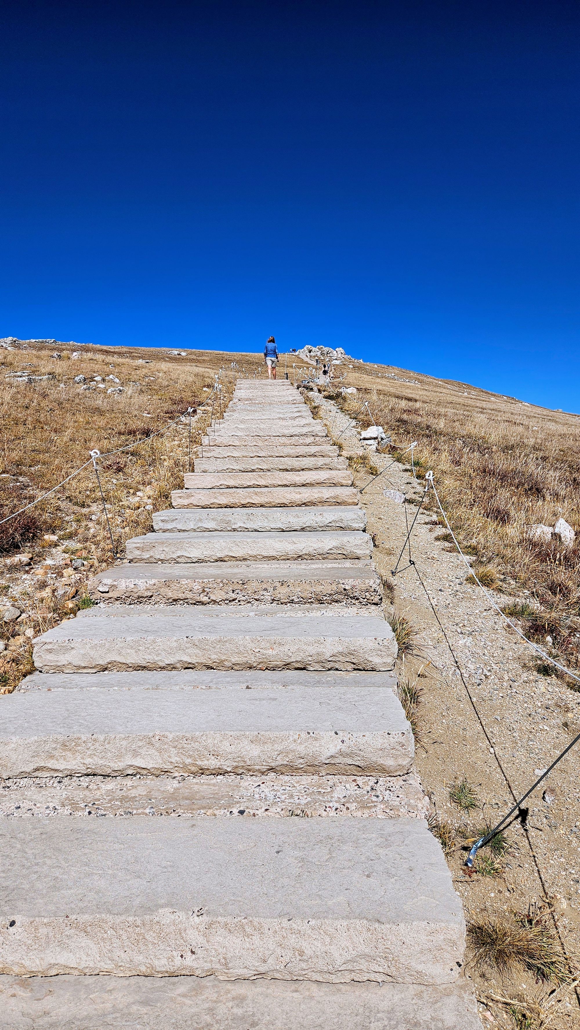
Alpine Ridge Trail. Whoo that's a lotta stairs!
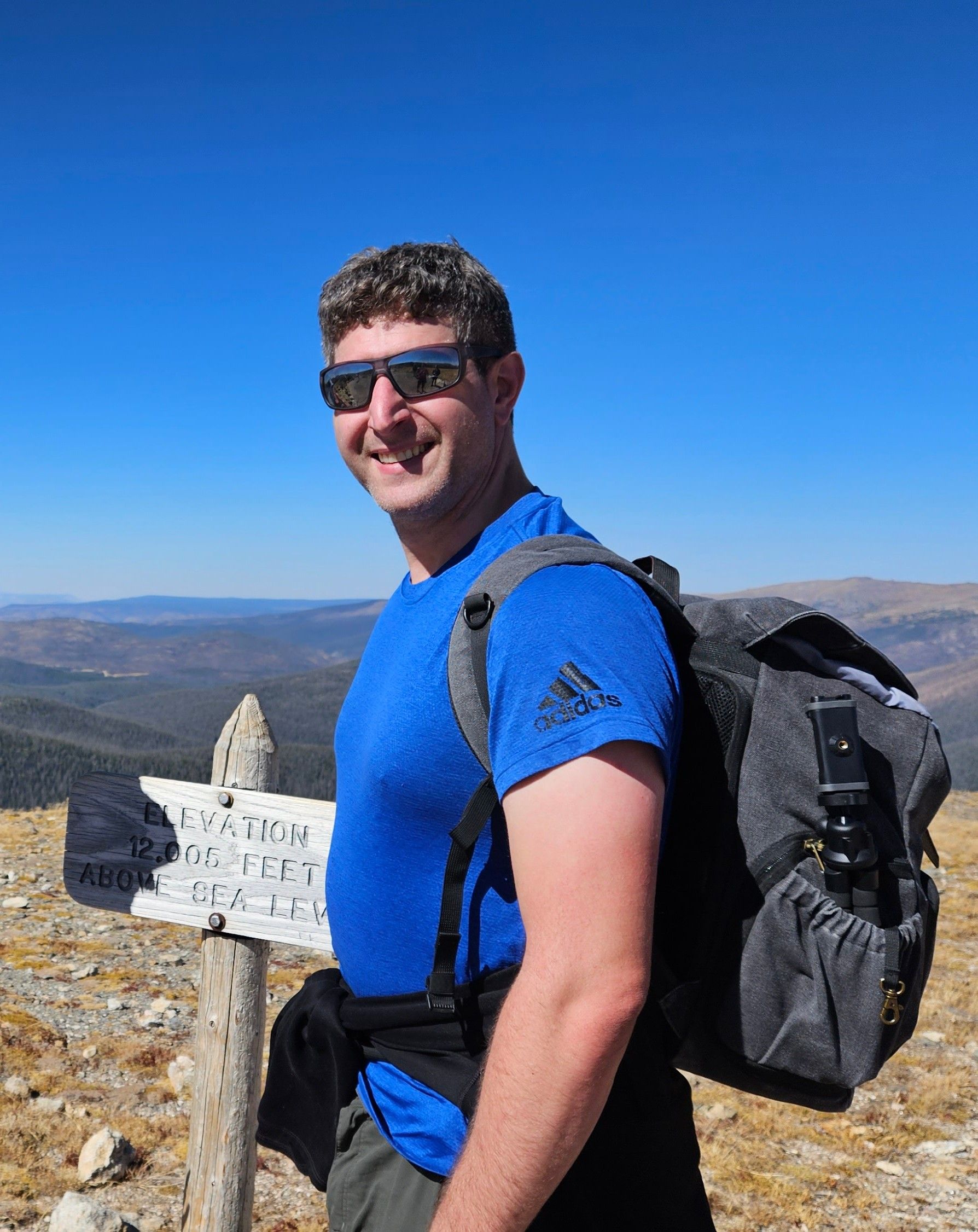
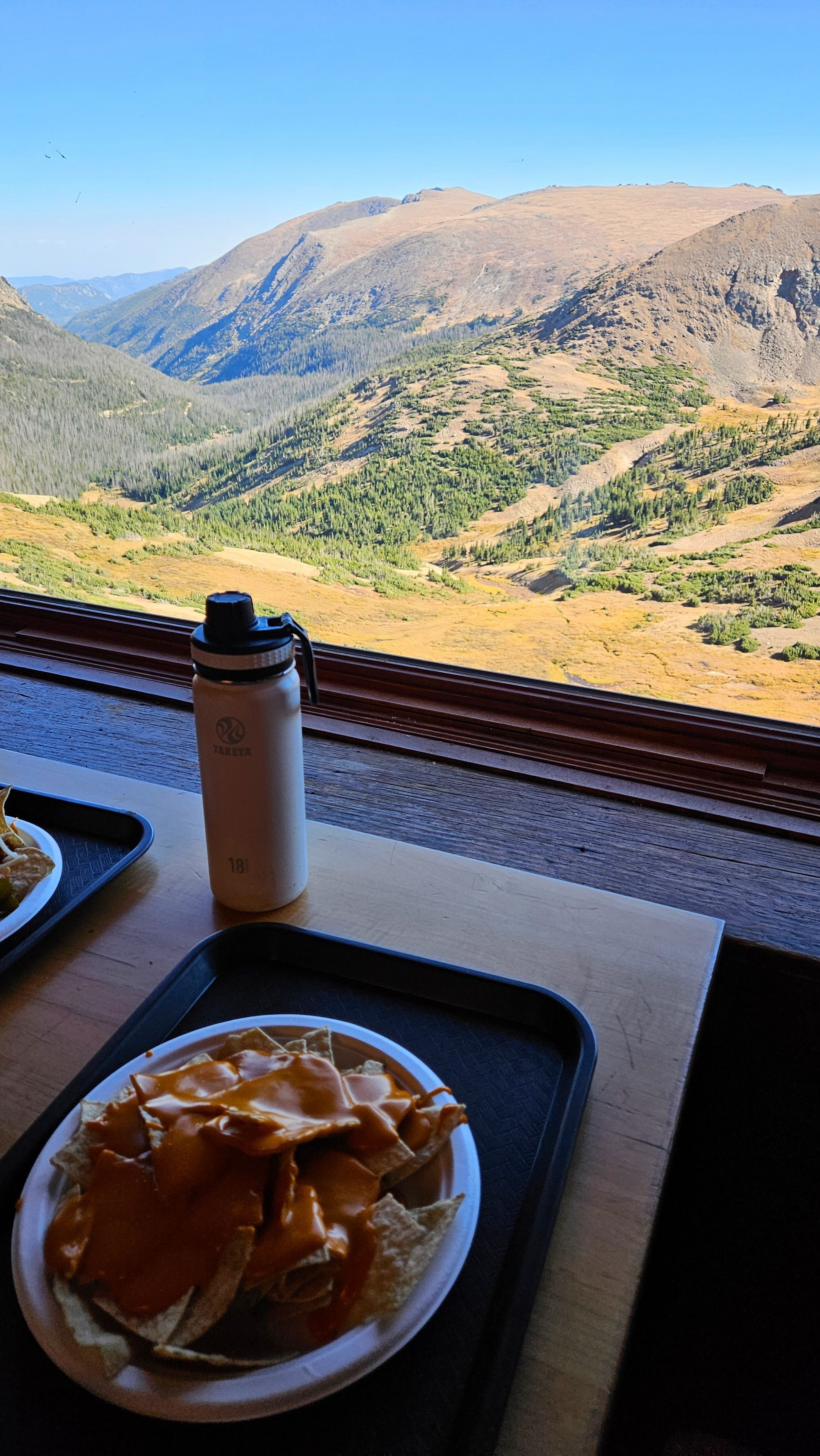
After climbing the endless stairs to 12,005ft (not the highest we climbed that day, but it's where the sign was), we decided we earned some major sustenance, and so we headed into the Trail Ridge Cafe for a late lunch. It was probably one of the best lunch views we've ever had.
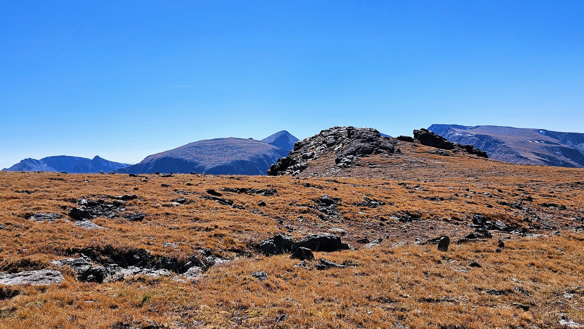
Our next stop was the famous switchback where the road goes from east-west to north-south: Medicine Bow Curve. Most people just stop to see the view, but there is a .7mi trail that extends off the back of the curve. It's also one of the only places that allows visitors to walk on the tundra.
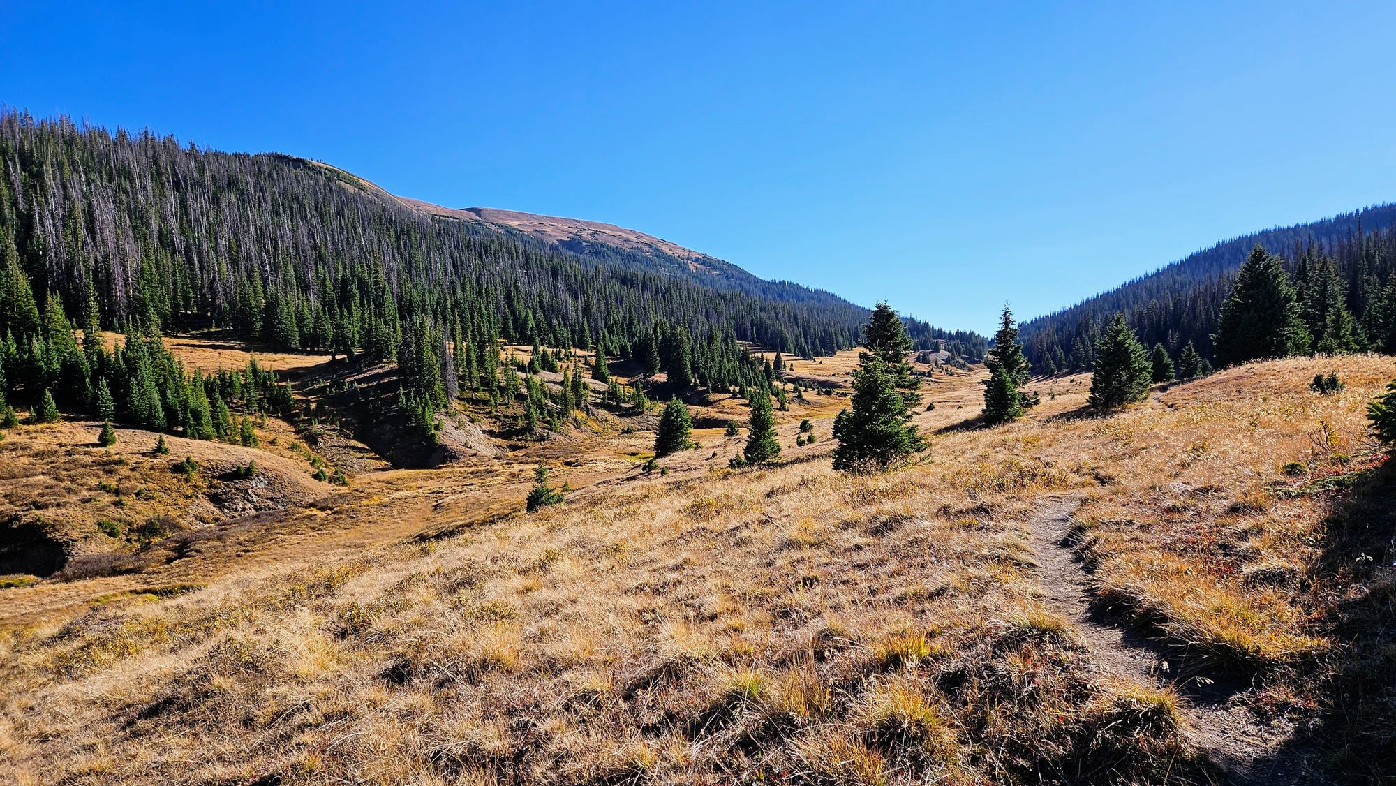
Our last hike was less for scenery and more for wildlife. We were on the search for a moose! We headed down to the Cache la Poudre River Trail, which is an easy-ish trail with some rolling hills. I had seen some photos on All Trails of people seeing moose down by the river, which is really more of a stream. We hiked the trail for about an hour but came up short. Thankfully even "less good" scenery is still good in Rocky Mountain National Park!
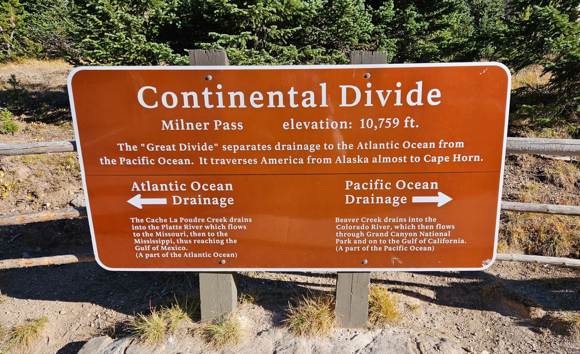
And finally, our last stop: The Continental Divide. Our travels this year took us along a good portion of the divide, and here we met up with it in Colorado.
We continued on for a little while longer but ultimately needed to turn around. We wanted to get off the pass before dark. On the way back, we stopped at a couple overlooks that we hadn't yet seen, and I was able to get some beautiful photos at dusk at the Many Parks Overlook.
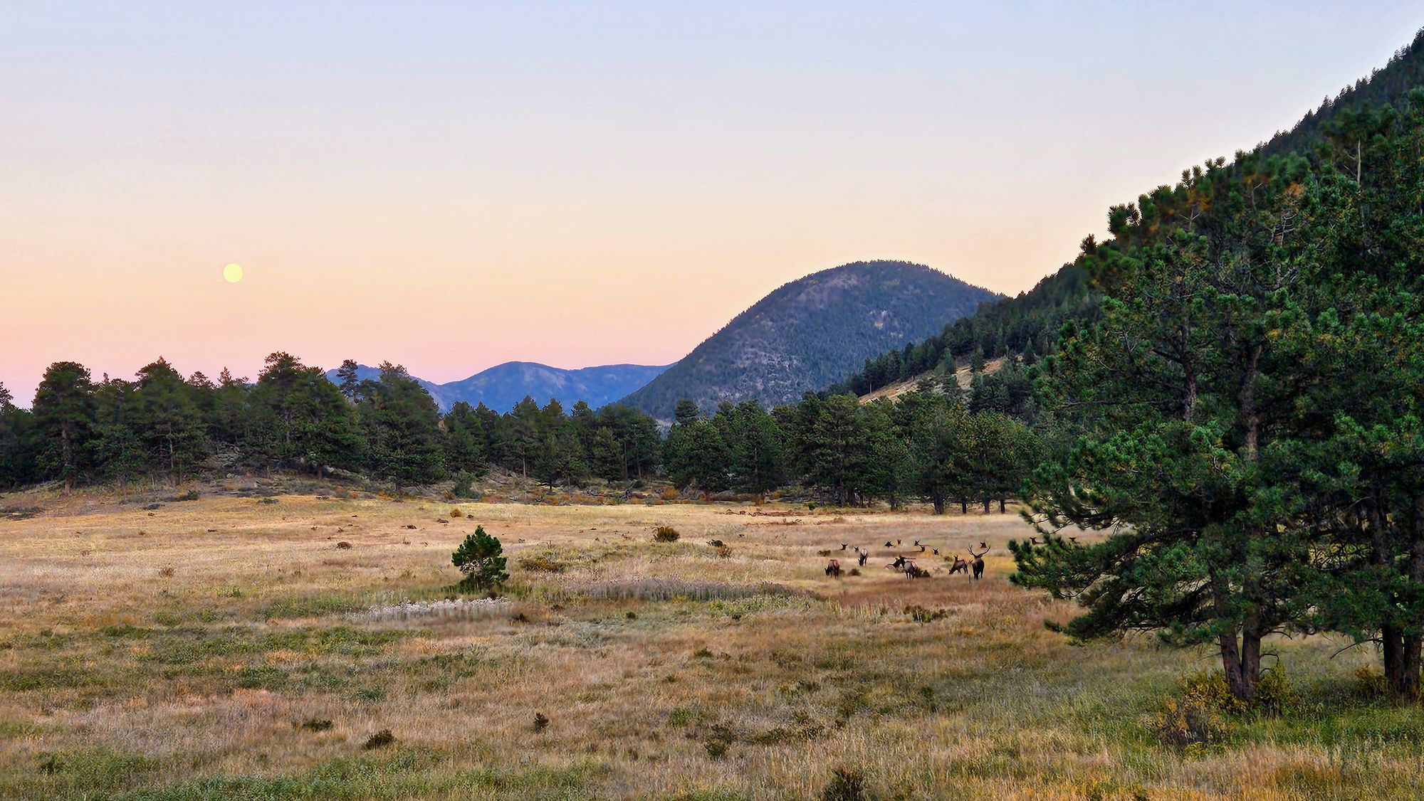
We were actually surprised that we saw no wildlife on our entire Trail Ridge Road journey, except for one marmot preparing for hibernation in the tundra. We had seen so many deer and elk every day, but apparently they were staying closer to civilization, which is rather interesting. But, true to our pattern, we ended up being 3 for 3 on memorable elk encounters as we returned from our national park excursions. We saw a couple of herds, but this one was photo-worthy, as they were grazing underneath the glow of the soon-to-be full Harvest Moon.
But the real memorable encounter happened as we got back to our campground and found an adolescent bull elk having his dinner in an empty campsite. Funny how we had so many quiet nature-centric campgrounds this year in areas bustling with wildlife, but it was at a crowded RV park in a populous area where we finally had some wild visitors. We saw some deer on and off, and then this guy. Clearly they're pretty used to people, but as long as everyone gives them their space, hopefully we can coexist.
And with that, national park #20 was in the books, and we absolutely loved our time here. We feel so fortunate that, after all our stress with the truck and trailer repairs, we were able to put our troubles behind us and enjoy one of our favorite experiences all year. That's RV life for you, and just like our journey on Trail Ridge Road, there are ups and there are downs. But boy did we leave Rocky Mountain National Park on a high!