RVing America's Loneliest Road, Part 2
Continued from Part 1.
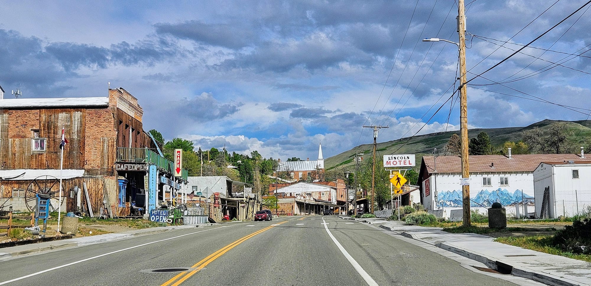
We sailed smoothly from Carson City to Austin on our first day on America's Loneliest Road. Austin, the halfway point on the road, would be our stop for the night, but two challenges awaited us. First, we were running on less than 50 towing miles to empty, and the town only has 1 gas station. Second, we needed to find a first-come, first-served campsite that would have availabilities and fit us.
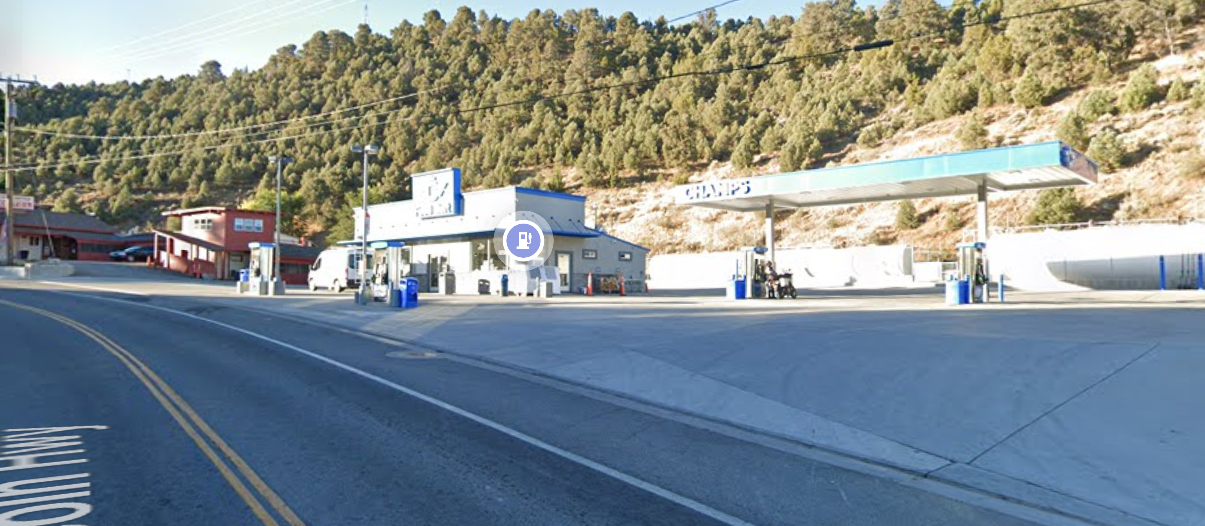
Champs gas station is located on the west side of town and is the first service that eastward travelers see for about 100 miles (trust us, the "gas station" at Middlegate Station doesn't count). Those coming from the east don't have it much better, with 70 miles between services. Because of this, we knew we might be in for a wait at the pumps. To make matters worse, Street View showed that the station was perched on a hill.
Worst case scenario, we could find somewhere to camp in town, unhitch, and backtrack to the gas station, but we were hoping to camp further outside town, 21 miles away, with a mountain pass in the middle. We learned the hard way what uphill drives can do when we're running on empty.
When we arrived to Champs, all the pumps were occupied and we were 1 of 4 trailers. There was another travel trailer that snatched the last of the more accessible pumps in front of the store, the ones that sell both gasoline and diesel. There was a vintage trailer in the pump next to the store, and a landscaping trailer in the pump furthest from the store. We hung back, waiting for someone to leave, while trying to not block anyone's exit. Luckily, the landscape trailer finished pumping quickly and pulled away.
Ideally, we would have pulled into a pump in the front so we'd have an easy exit, but we couldn't keep waiting and blocking the entrance. As Anthony pumped, I checked satellite view to see if we could go around the building and exit on the other side. It showed that we could, confirmed by the landscaping truck that, after pulling over for a couple of minutes, left behind the building.
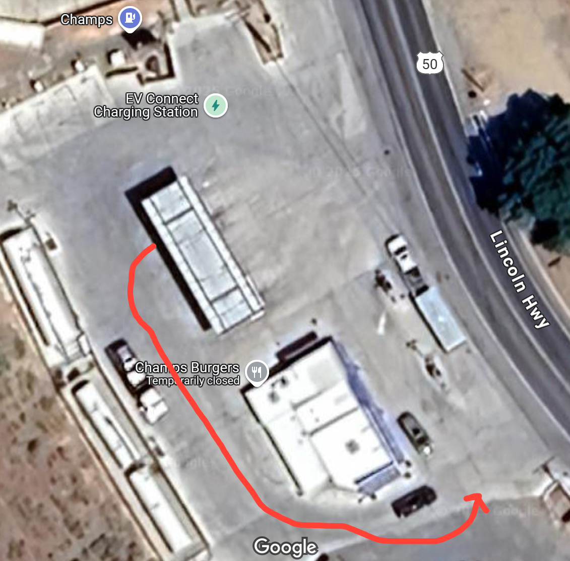
We don't know what happened in the minute between landscaping guy leaving and us finishing pumping, but by the time we went around the building to exit, 2 cars were parked between the buildings, blocking the way out.
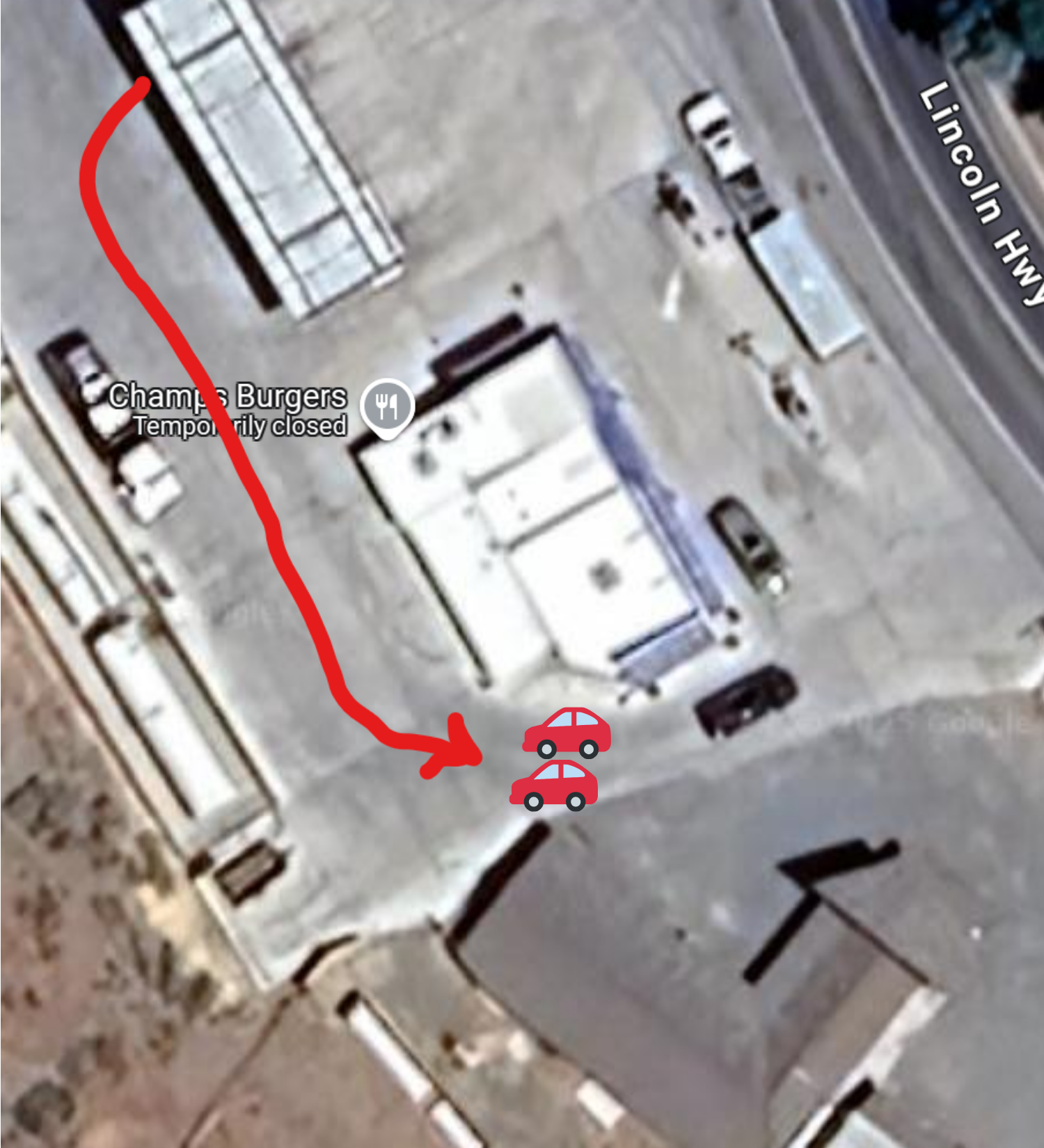
We were left no choice but to have me spot Anthony as he backed all the way up to leave the way we entered, but we were too long to leave around the pumps, so we had to wait for someone to finish so we could leave from between the pumps. Luckily, everyone saw what we were doing and stayed out of our way. We have a feeling this isn't the locals' first encounter with big RVs getting gas here.

It wasn't the smoothest stop, but we were happy to have a full tank for the remainder of our journey. After all, we didn't know how many campgrounds we would need to check out before settling somewhere.
Our top choice was the recreation area campground at Hickison Petroglyphs. We hoped to hike the petroglyph trail during our time in Austin, and camping there would be really convenient. Problem was, as it often tends to be, we had no idea if the sites would fit us. My research turned up confusing results. One website said the max length for rigs is 25ft, but then another website showed longer rigs parked in the campsites without problems. Campendium's "longest RV reported" was a 37ft motorhome! We're not normally risk takers in the finding camping game, but we were doing things different on the Loneliest Road.
If we didn't fit, we would need to drive over the mountain pass back into downtown Austin, where there are 2 RV parks. And when we say "RV park," we literally mean a place for RVs to park. Austin RV Park and Pony Express RV Stop have a row of back-ins with hookups, all first-come, first-served, and with self-serve pay. As we drove through town, we made a point to look at the parks as we passed by to see if any sites were still open. Pony Express had a couple, but we couldn't get a clear view of Austin RV park because it was up a hill. At least we knew that we'd be able to sleep somewhere, barring no one grabbed those last spots at Pony Express.
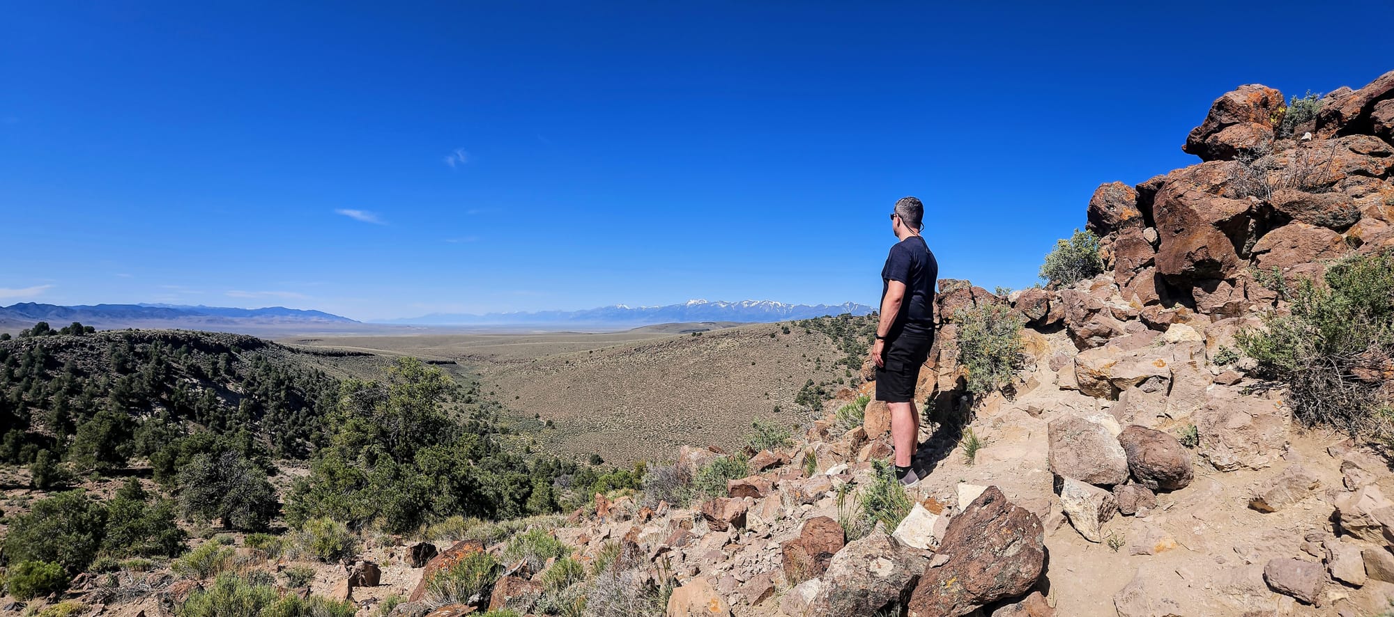
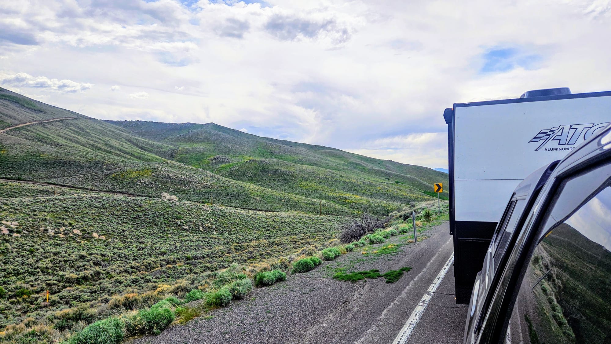
The mountain pass was beautiful, but we hoped we wouldn't need to tow back over it after a failure at Hickison Petroglyphs.
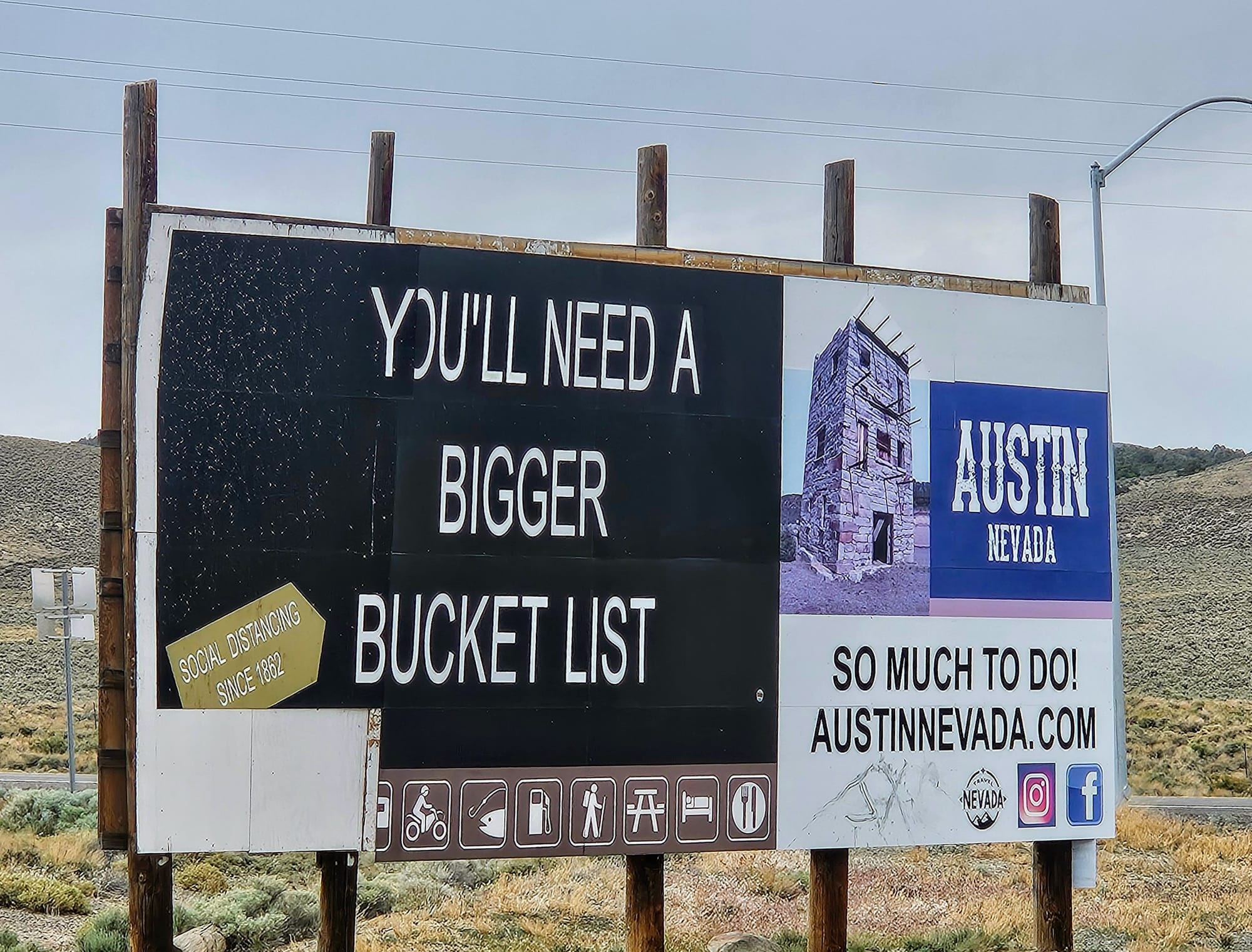
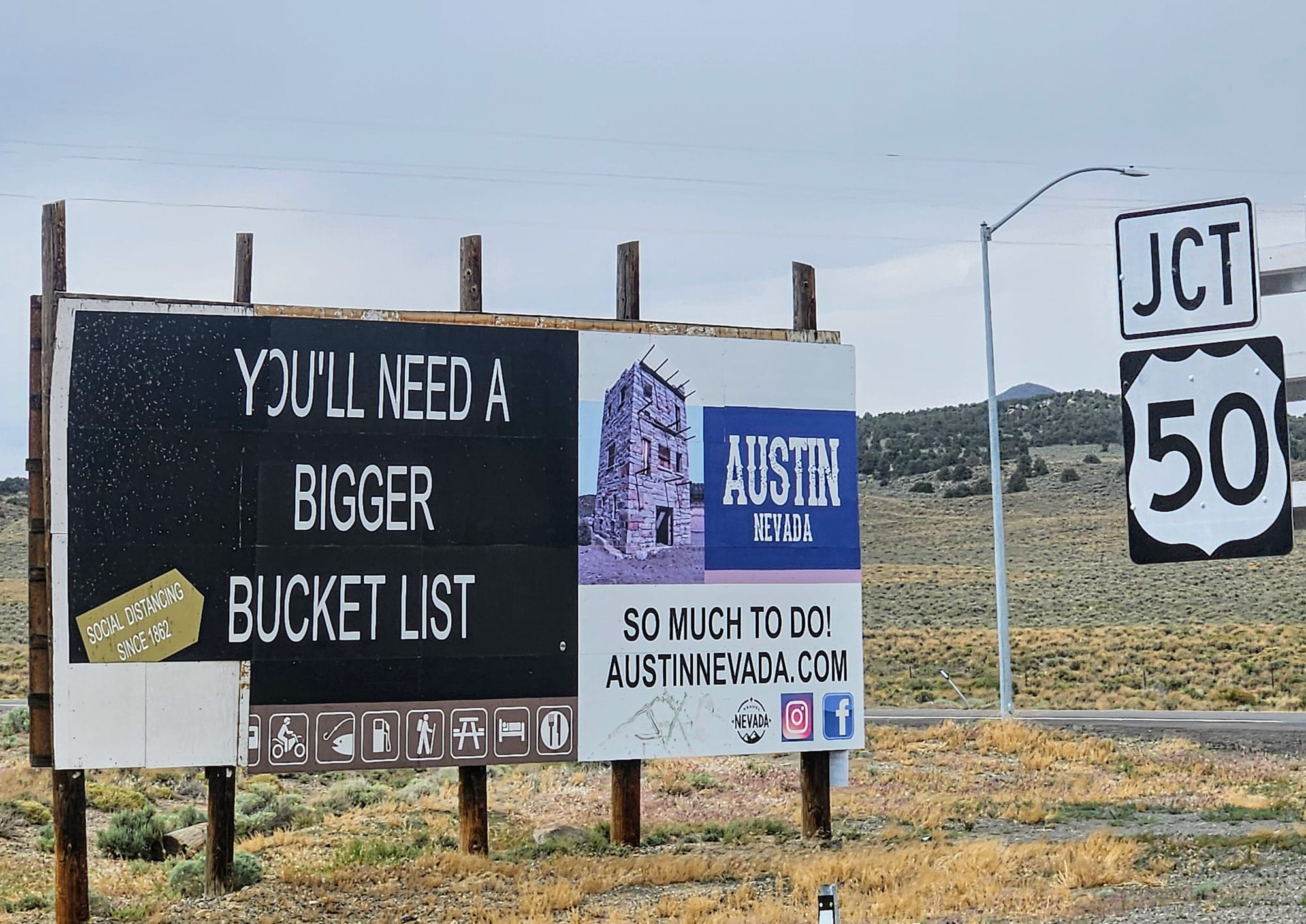
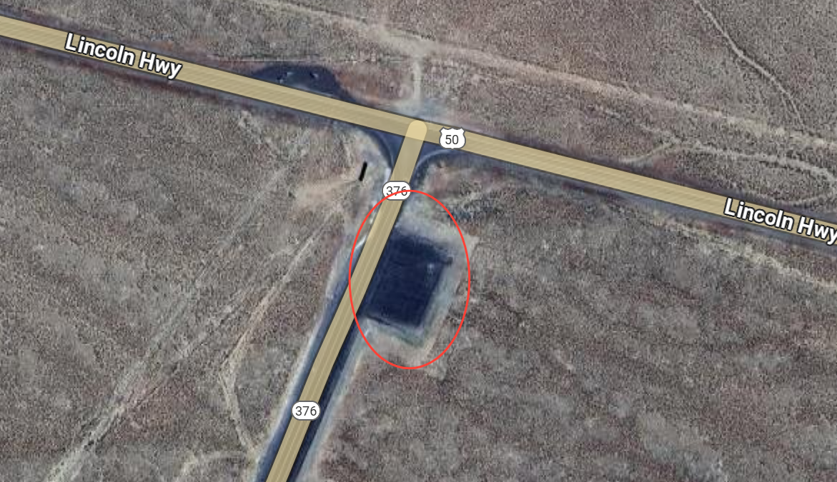
We made a quick stop at the junction of US50 and Highway 376, a location on our audio tour. The gateway sign for Austin was a vibe.
We also noticed that a fifth wheel had decided to drop trailer in the intersection's parking area, a place that was unmarked and not on our radar for an overnight spot. In Nevada, you're allowed to stay up to 18 hours at rest areas, and since this road is so desolate, we noticed that people seem to overnight in parking areas without issue. We doubt US50 is a high priority for state patrol. The views from the parking area were nice, too. Perhaps a contender for an overnight that wouldn't force us to go back downtown and cram up beside our neighbors, but ideally we'd appreciate a designated campsite.
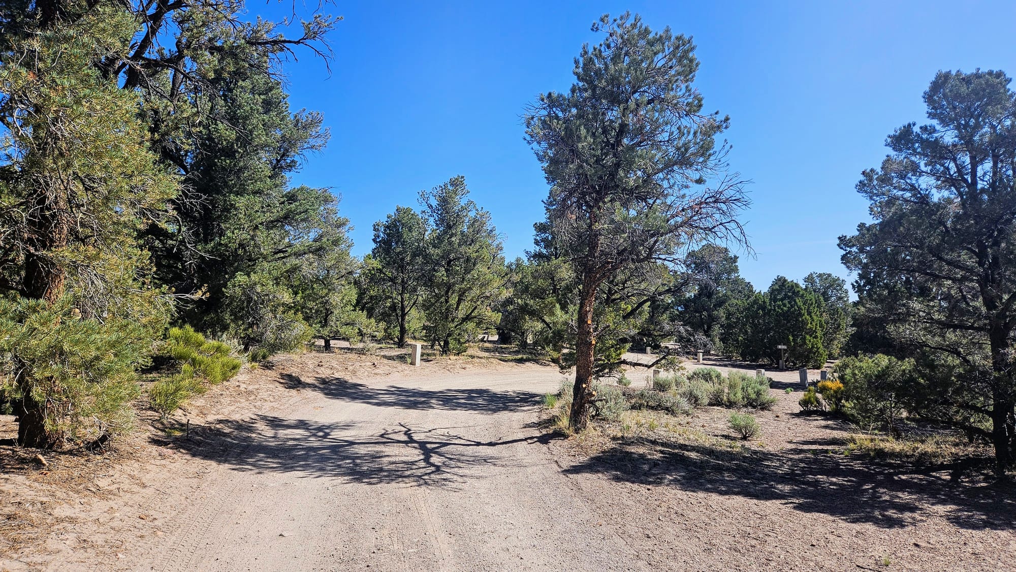
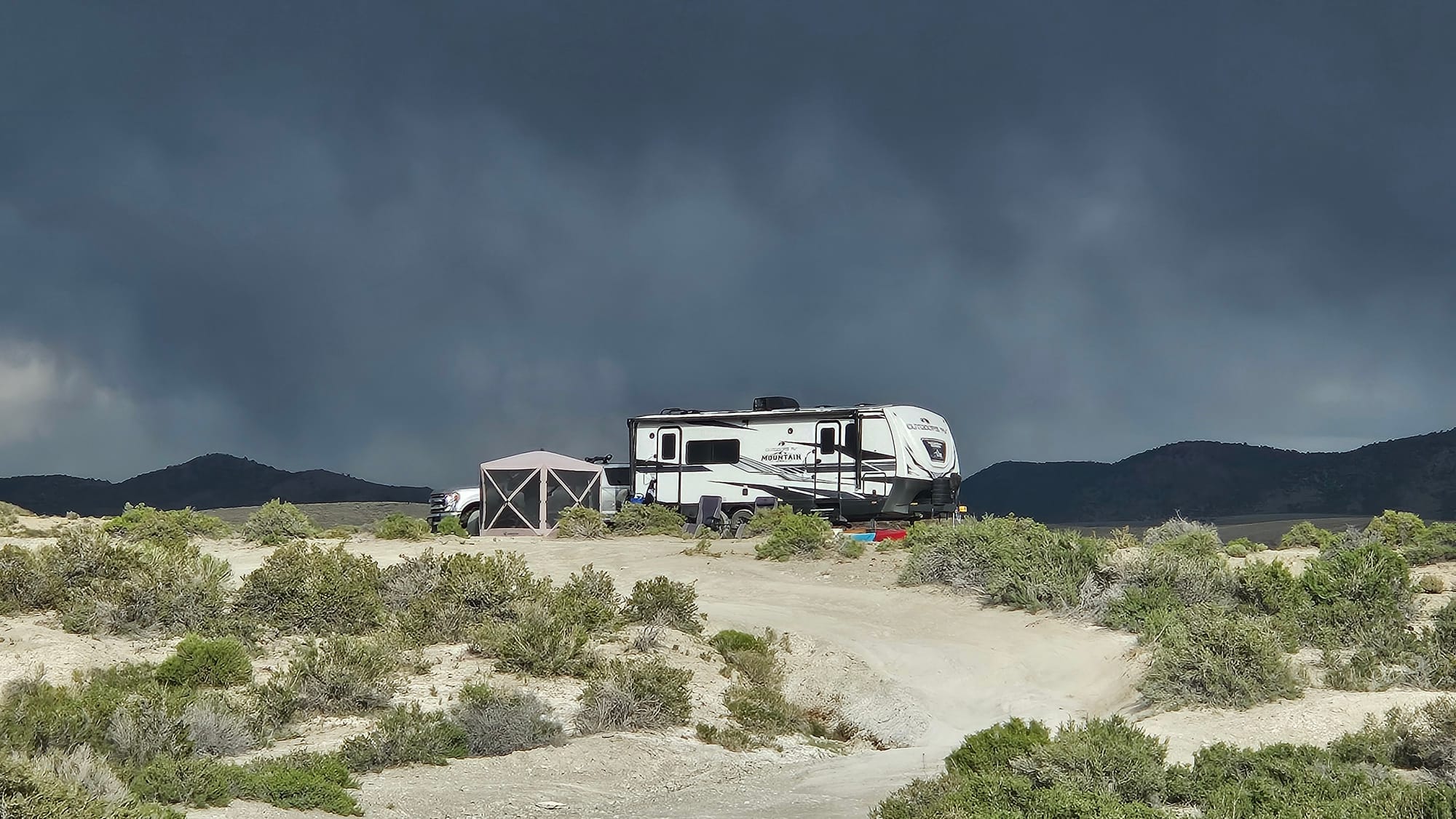
When we arrived to Hickison Petroglyphs, only a couple of the campsites were occupied. One less thing to worry about, but as soon as we got to the parking lot and took the right into the campground, we knew it would be a tight squeeze, not into a campsite, but on the road.
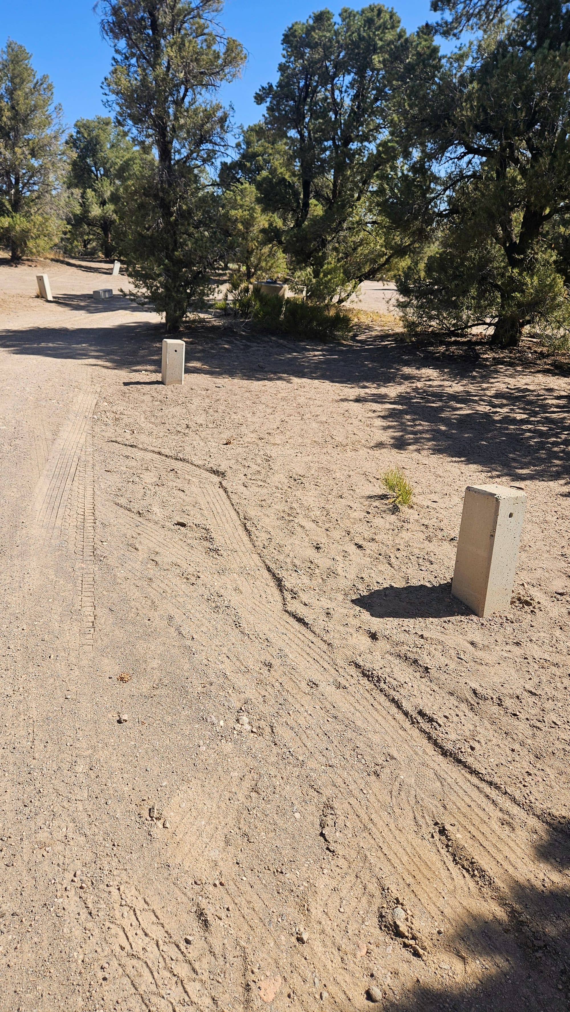
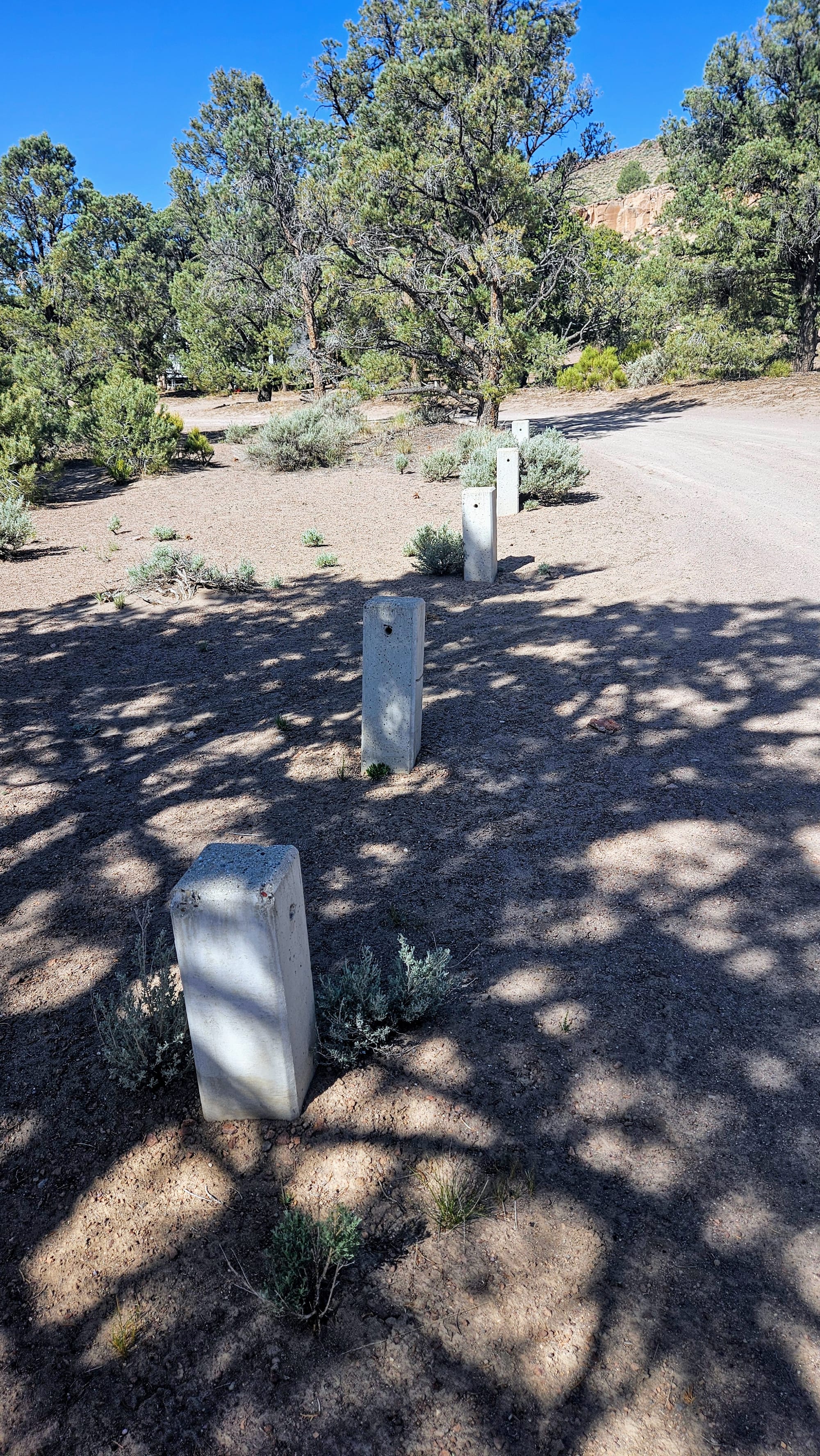
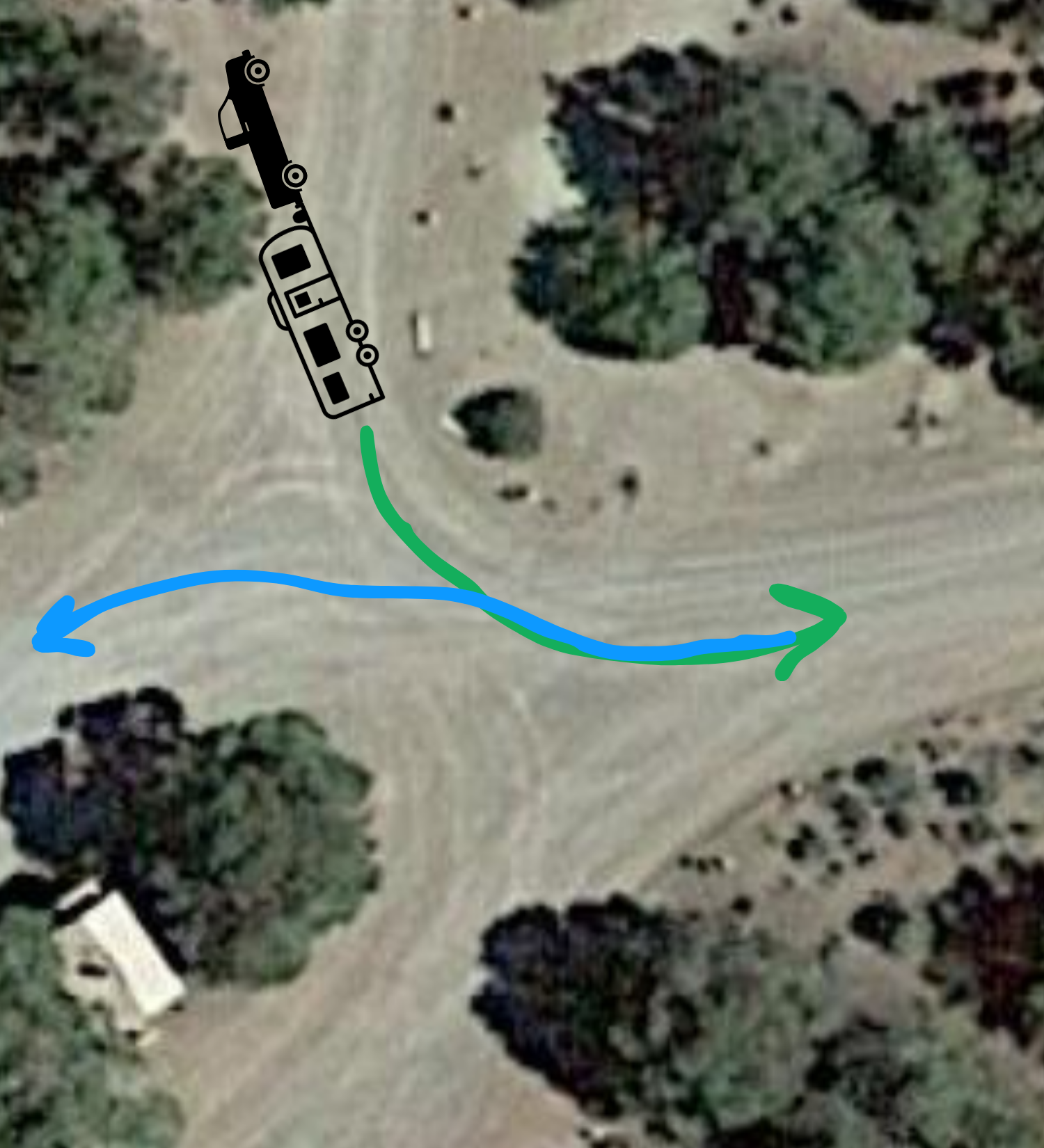
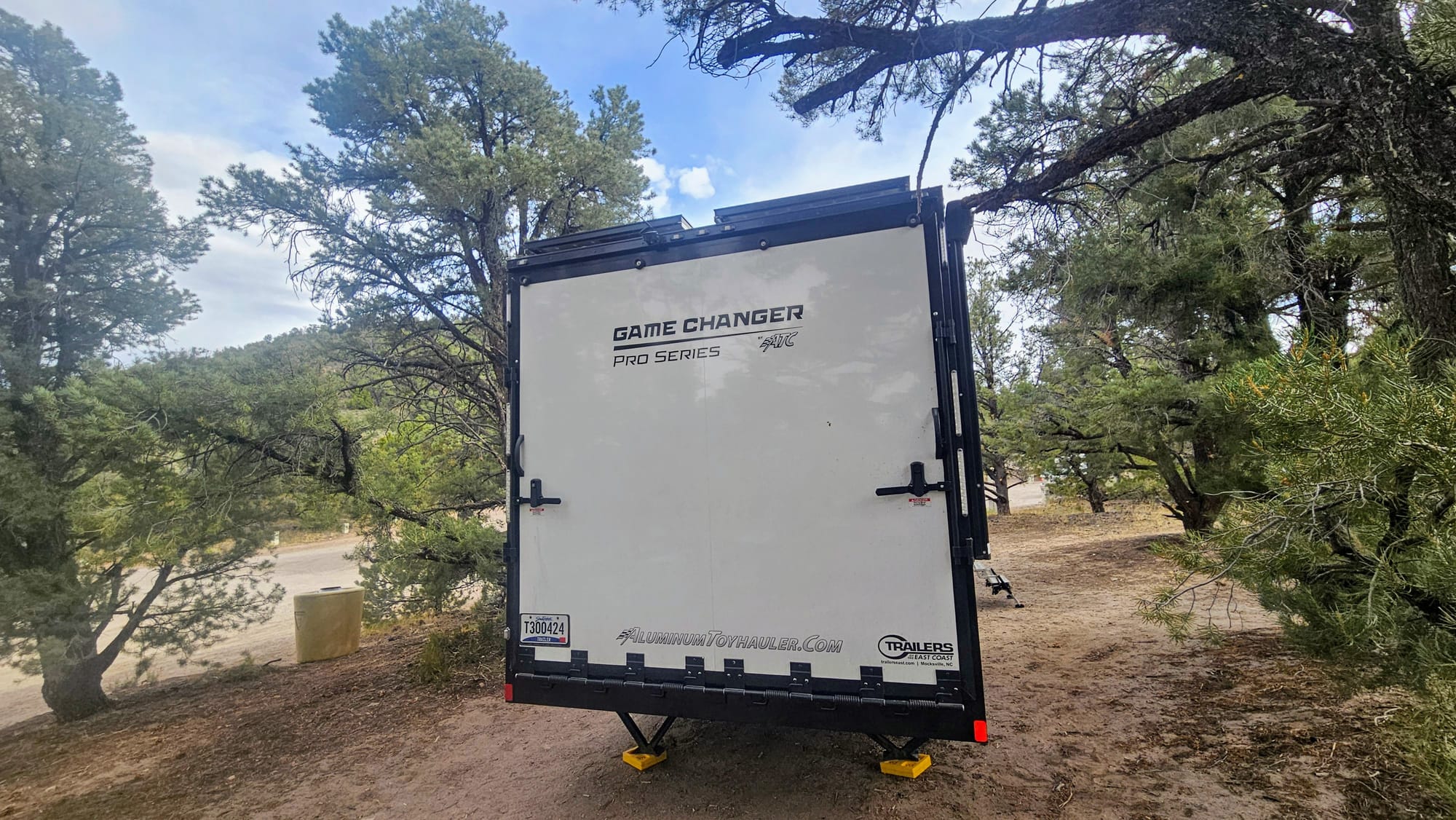
The first two turns got us dangerously close to branches, and we're now paranoid about scraping up the side of our rig. Several times, I got out and tried to hold the branches back as Anthony drove by, and I can attest that those things were scratchy. We didn't know how many more turns would be like that, and I immediately became concerned that even if we could get ourselves into a site, we might not make it out of the loop the next day. I called timeout and told Anthony I think we need to back ourselves out of the loop. He convinced me to make one last attempt to take a pull-thru spot at the beginning of the loop, but those turns were too tight as well. Not only did we have trees to contend with, but the sites are lined with cement posts, and some weren't even still standing, creating even less room to maneuver around them! We should have taken one look at those posts and thought "no way." Sometimes even we don't realize just how wide of a turning radius we have. Or we're just in deep denial when a beautiful recreational campsite is at stake.
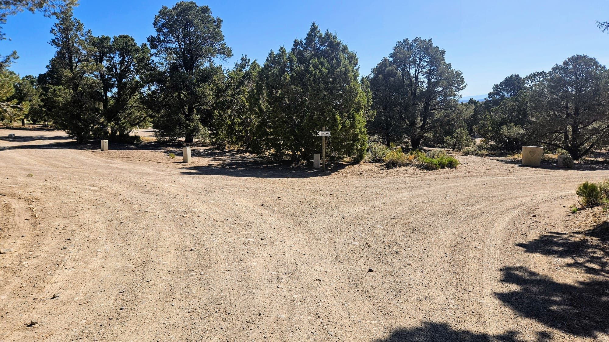
The good news was, by pulling part-way into that site, Anthony was now able to back the trailer into the other end of the loop, where rigs with normal turning radii would exit. This meant we could make a 3-point turn and exit the campground loop face first instead of butt first.
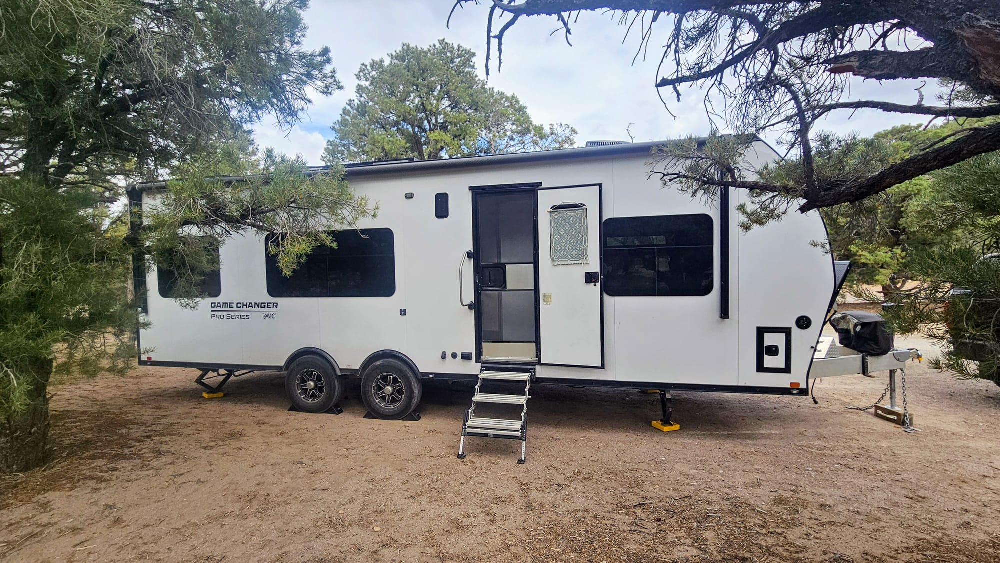
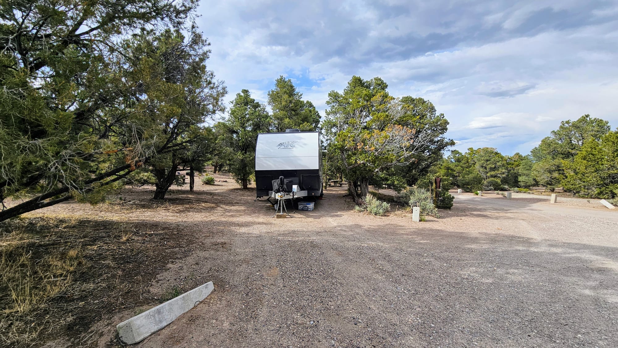
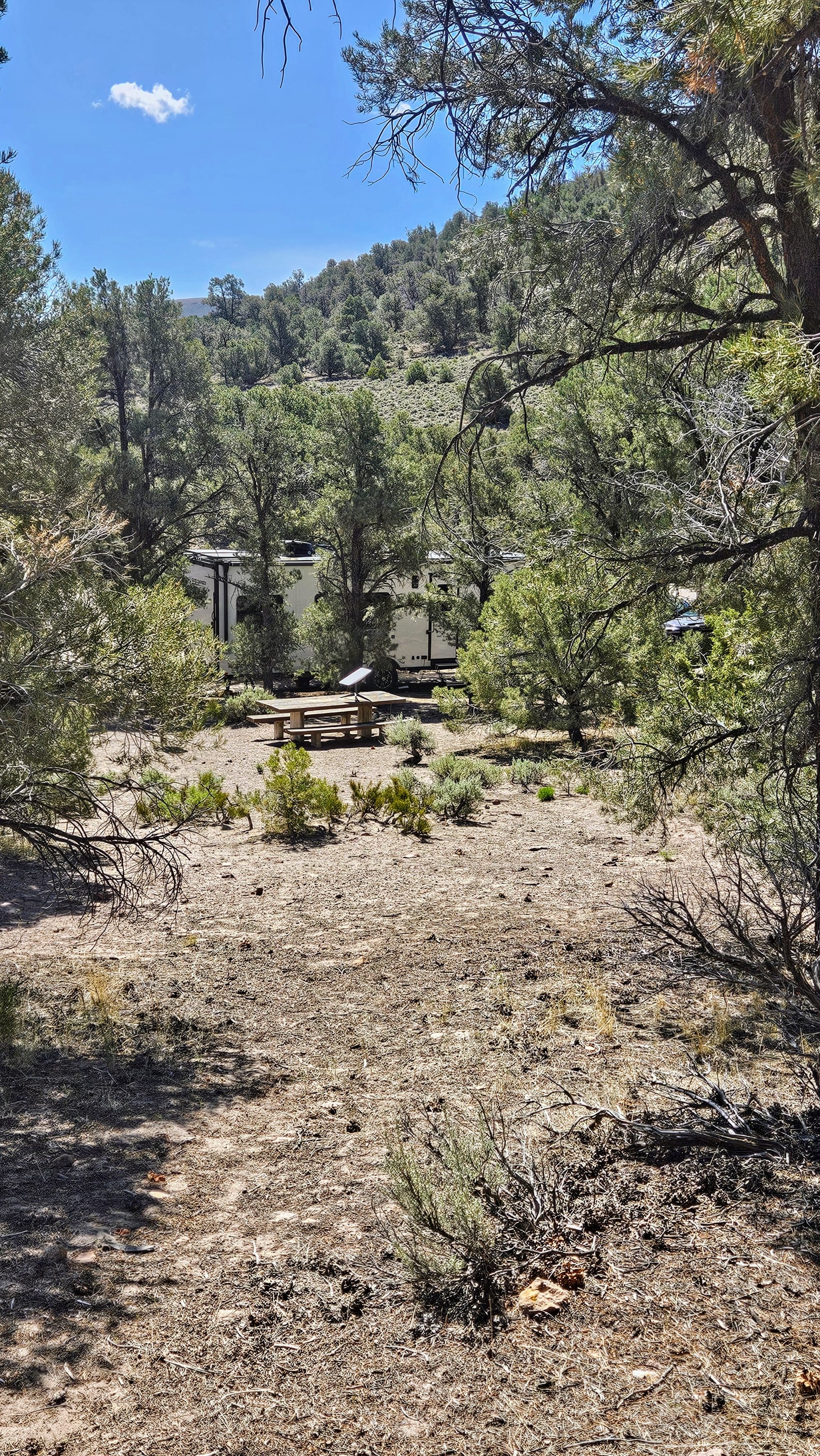
We were about to admit defeat when we noticed a couple of sites next to the parking lot. We incorrectly assumed that the lot was all day-use parking. One of the sites was too short for us, but the one next to it, closest to the day-use parking, was plenty long enough, albeit quite unlevel. We had a choice. We could either shimmy our way in and try to level us as much as possible, or we could leave and drive the half-hour back to town. We knew we'd be putting in a lot of effort just for an overnight spot, but it wouldn't be anywhere near the effort of driving back over that mountain pass! We carefully got the trailer into the site, once again successfully avoiding tree branches and cement posts. As for leveling, we went up on blocks and levelers and deemed 2 inches of lopsidedness sufficient.
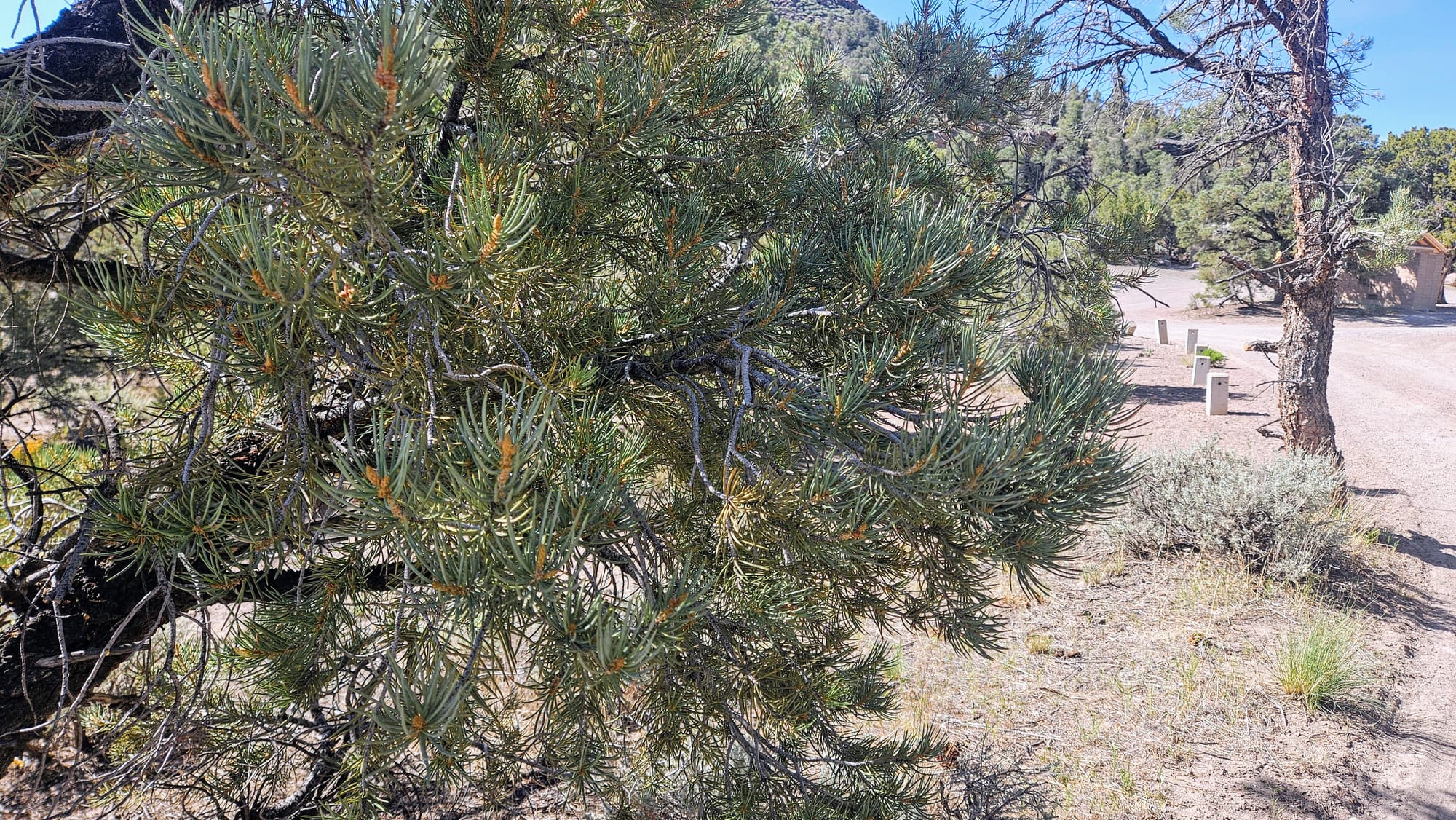
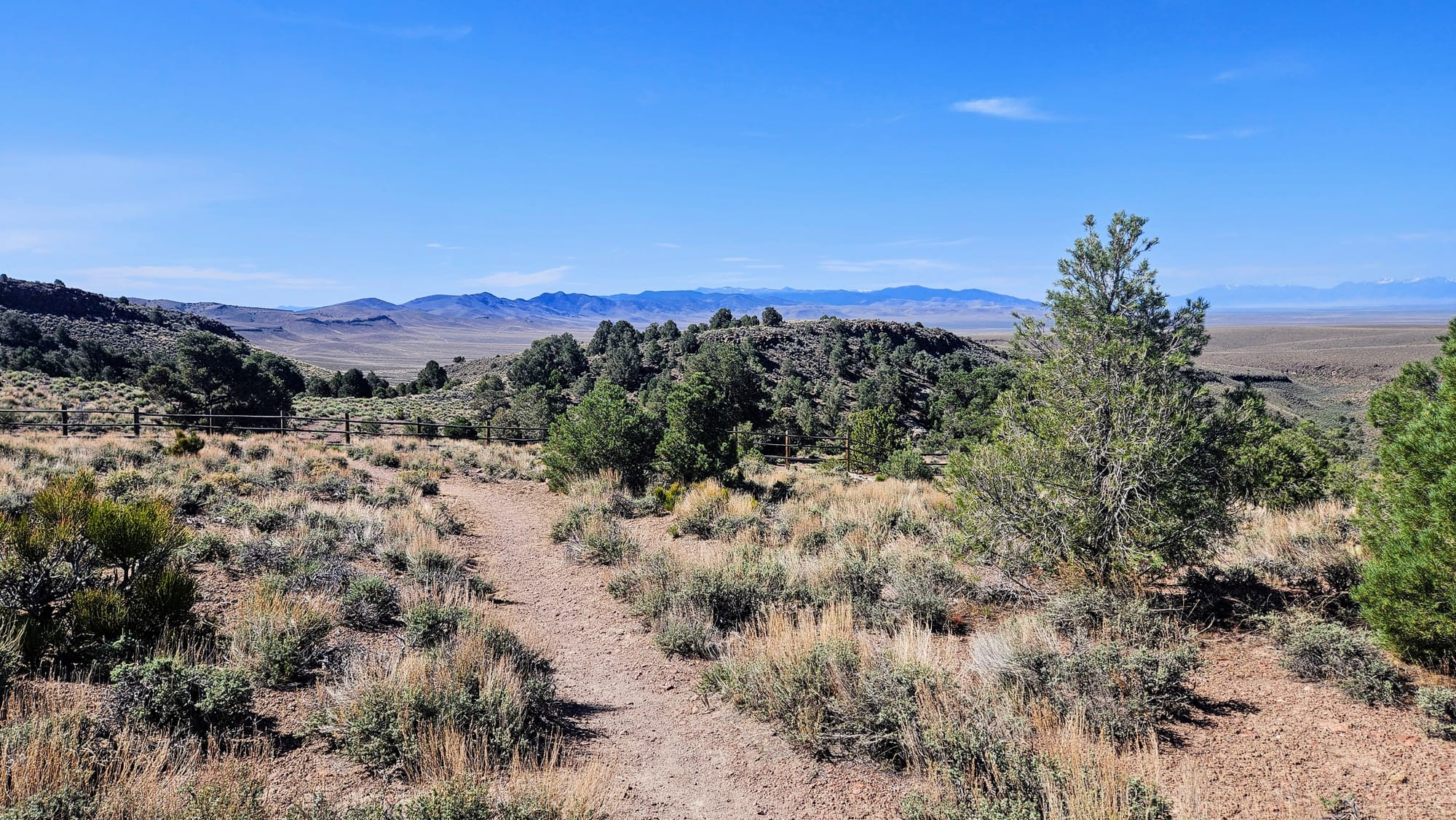
What did we get for our troubles? A site with a huge yard nestled among the most aromatic sagebrush and pine trees. Total peace and quiet. Access to the petroglyph trail right from our campsite. And the ability to tell all of you that, if you're too big for the loop, you might luck out with this one site. We think a trailer up to 34ft could fit, if you park your tow vehicle in the day-use lot. Just expect to sleep a bit unlevel.
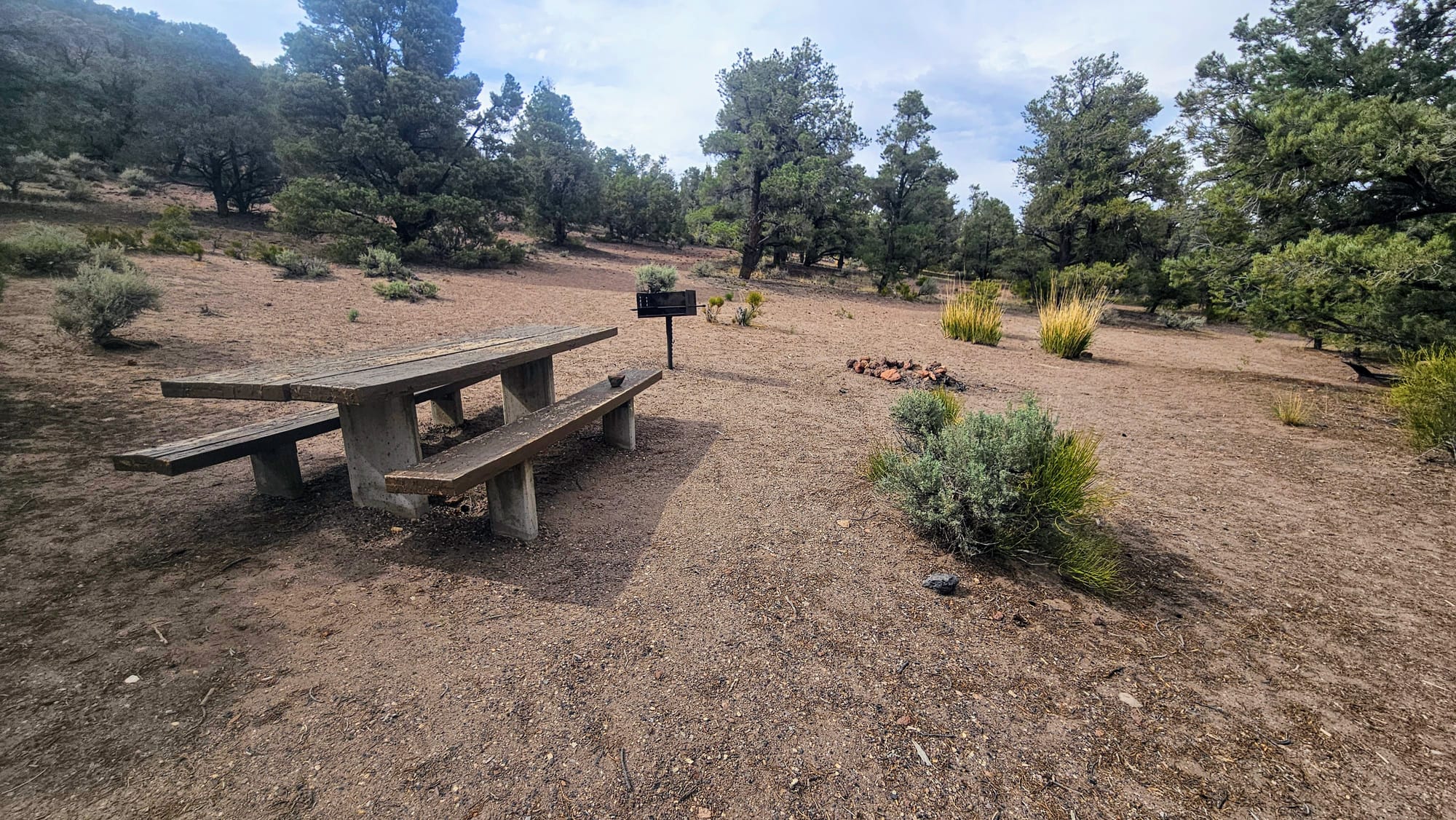
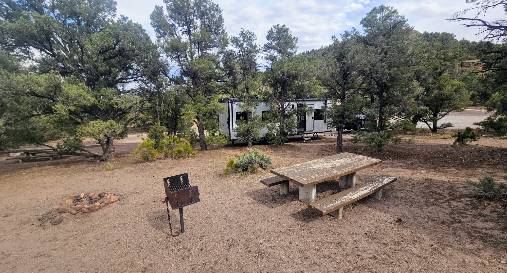
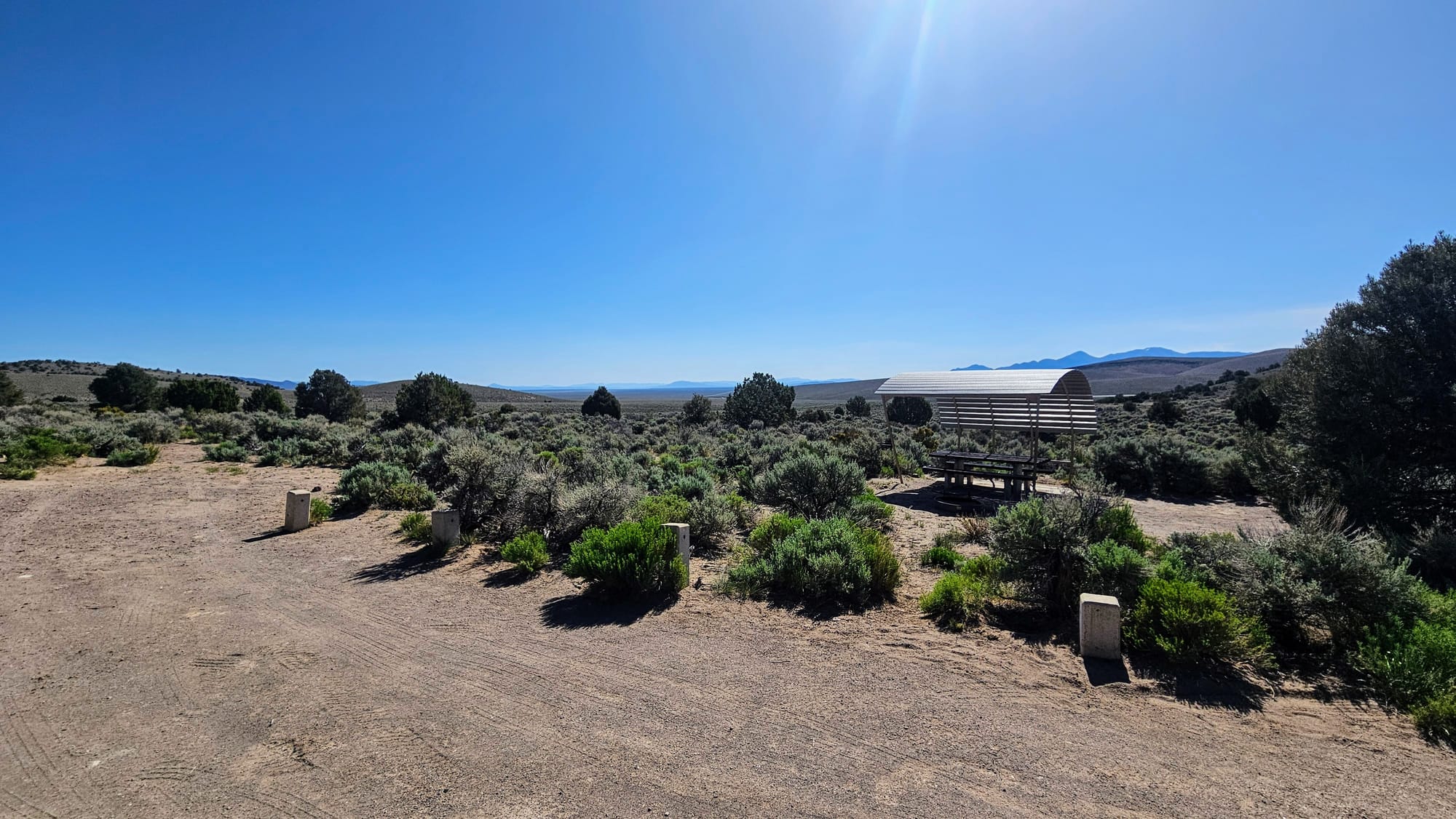
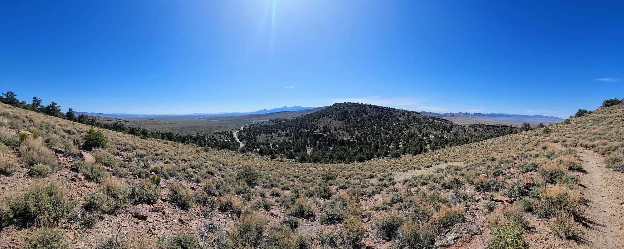
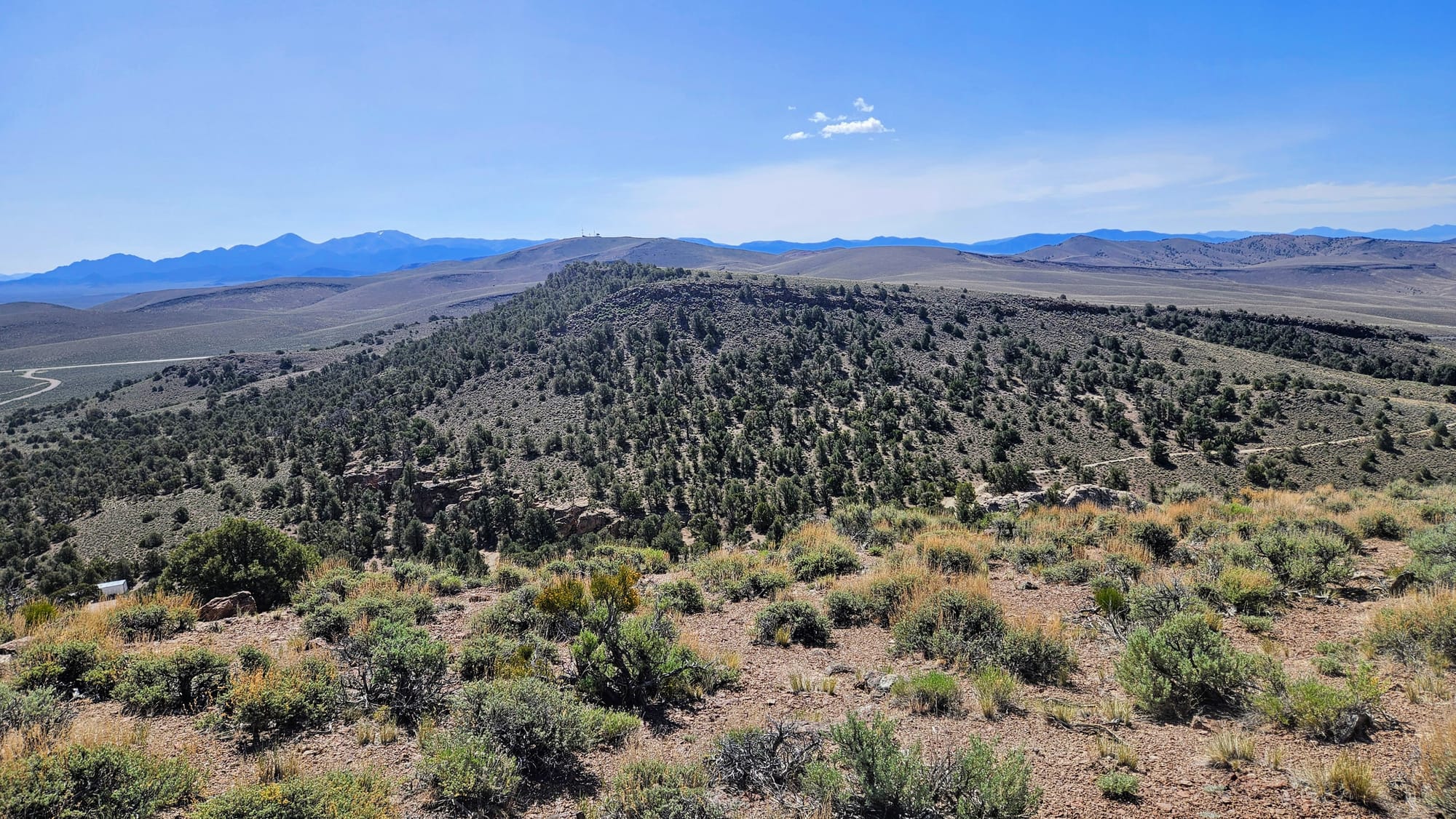
The next morning, we took a walk around the campground loop to see what other obstacles we would have faced had we kept going. Surprisingly, the two initial turns seemed to be by far the worst. If we had gotten through those, we likely could have made it the rest of the way unscathed. The sites further into the loop also had some amazing views. We were happy with our spot, though, especially knowing that we could easily make our way out.
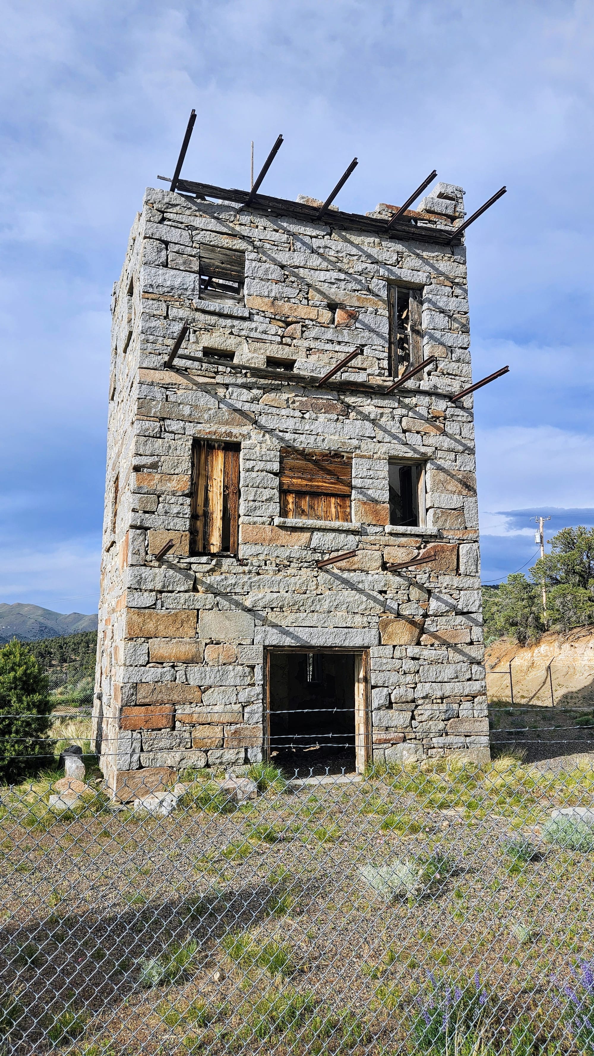
Our spot also put us in prime position to take our petroglyphs hike, and also to explore one more attraction on the east side of town. Remember Highway 376? Shortly after that intersection, there is a long unpaved road that leads to Spencer Hot Springs, one of many natural hot springs in Nevada. The water of these springs is a safe temperature to soak in. Some are natural pools, while others are cowboy and wading pools that have been placed strategically to catch the water. We donned our swimsuits and set out to see what we could find. But first, we took one more trek into town, much easier without Buggy in tow, so we could visit Stokes Castle. Some go to the castle for the history, which tells the tale of a rich miner man, Anson Stokes, who built this castle as a summer home, but his family only used it for 2 months. We, however, went for the views.
After that quick stop, it was back through town for us. We wished more was open because we had a hankering for some ice cream, but because of the Memorial Day holiday, the town was sleepy.
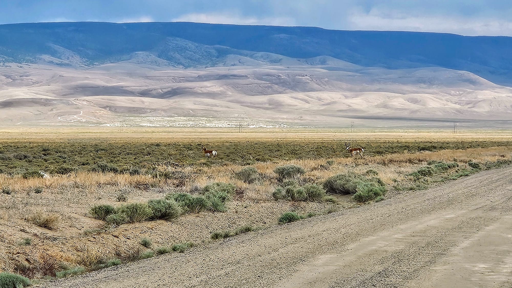
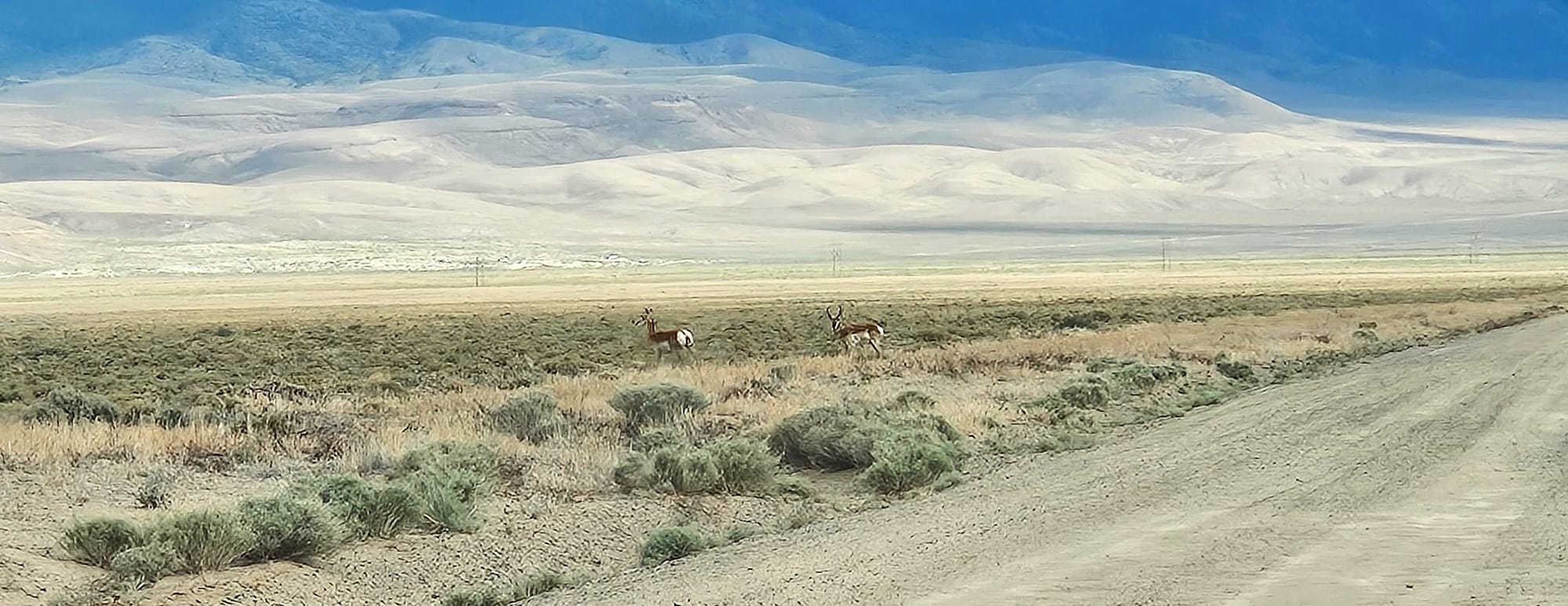
But, where humans sleep, wildlife abounds! Along the dirt road leading to the hot springs, we had our first pronghorn sighting of the year. Then at the hot springs, the famed wild burros grazed in the brush.
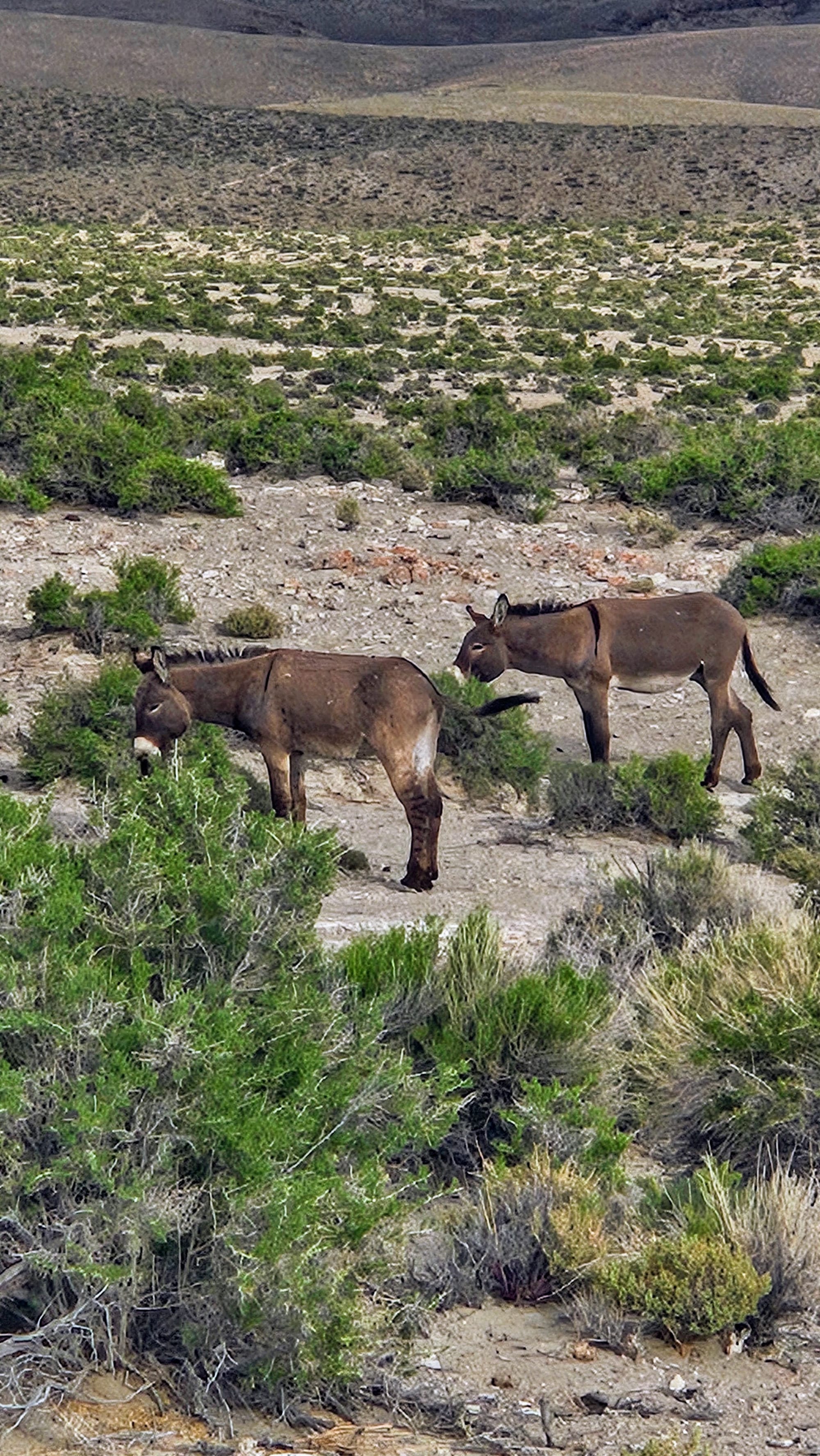
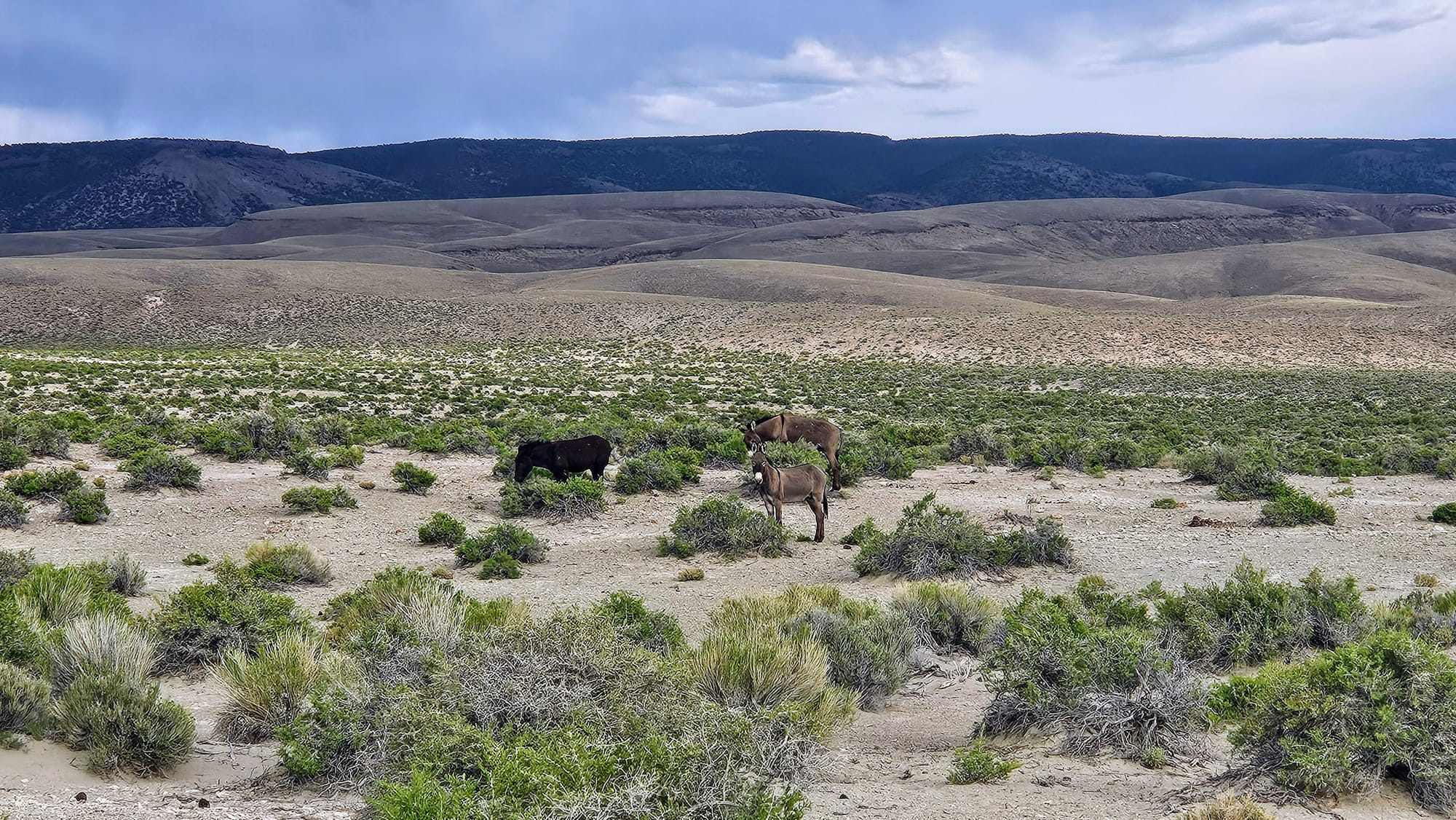
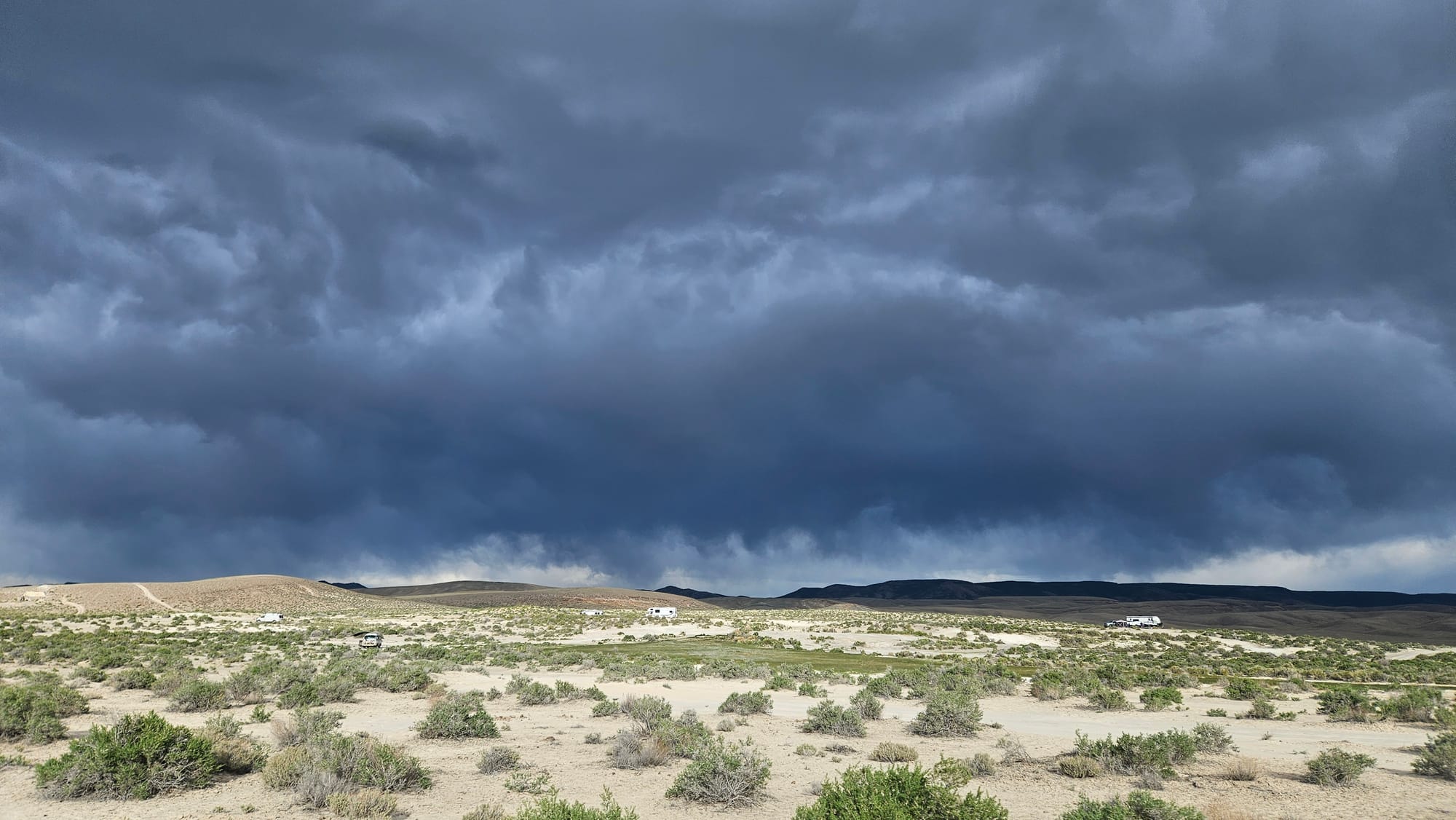
We had heard there was dispersed camping near Spencer Hot Springs, but we had no idea just how much space there was! A handful of campers had parked for the night, but we took the truck on miles of roads, some easier than others for larger RVs, of course, but if you're looking for dispersed camping near US50 but off the beaten path, this is a great option. Just be forewarned that the burros leave little gifts all over the place and we're told they also bellow into the night.
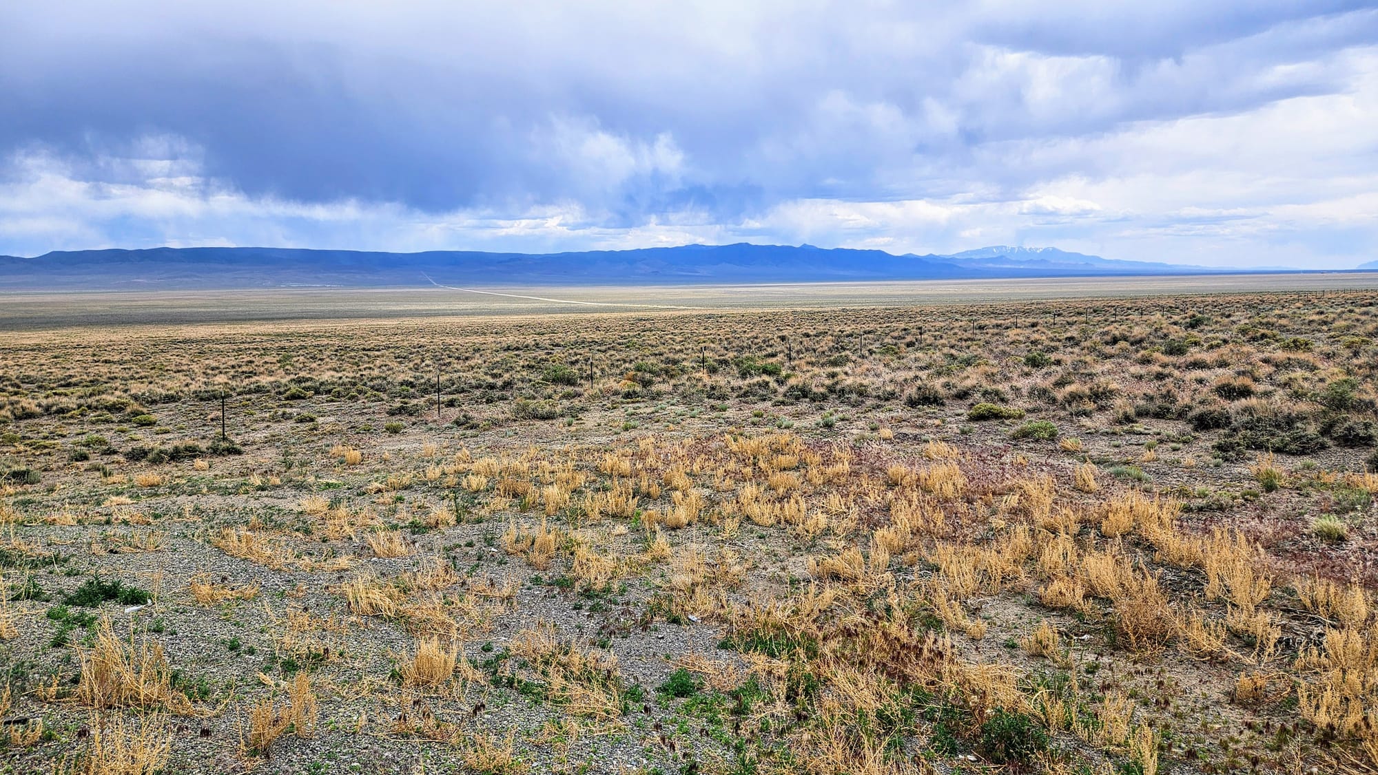
So we found the wildlife, we found the campsites, but where were the springs?! I'm a pretty big researcher, but in all the posts and articles I read about the hot springs, I never got a definitive mapping of where the pools were located. Some people say there are 3, and others say 4. We drove around for a while and eventually came across the natural pool.
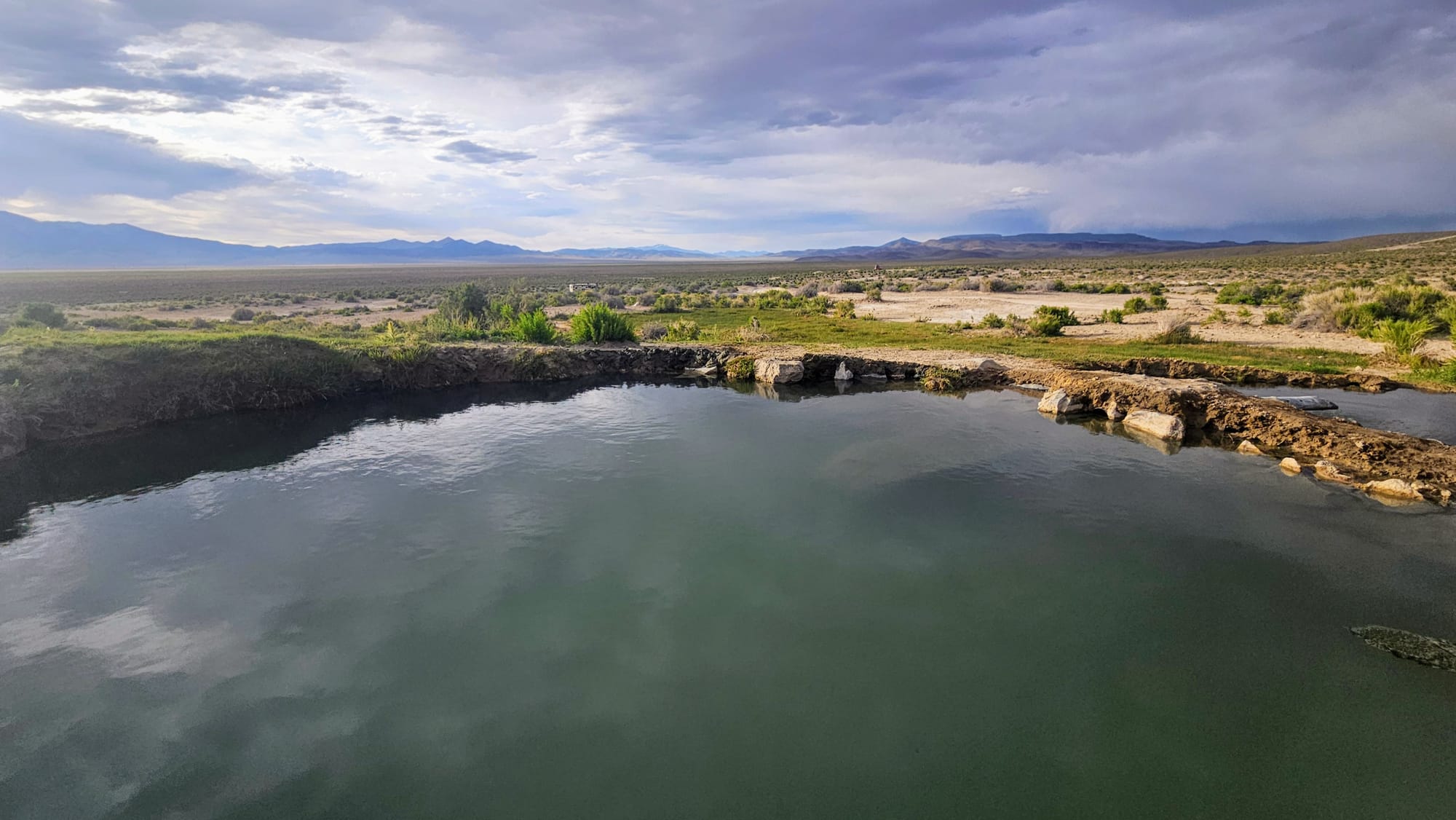
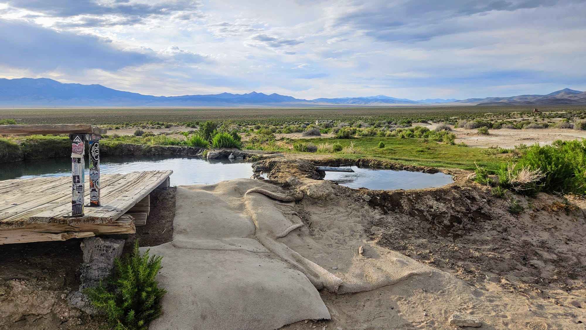
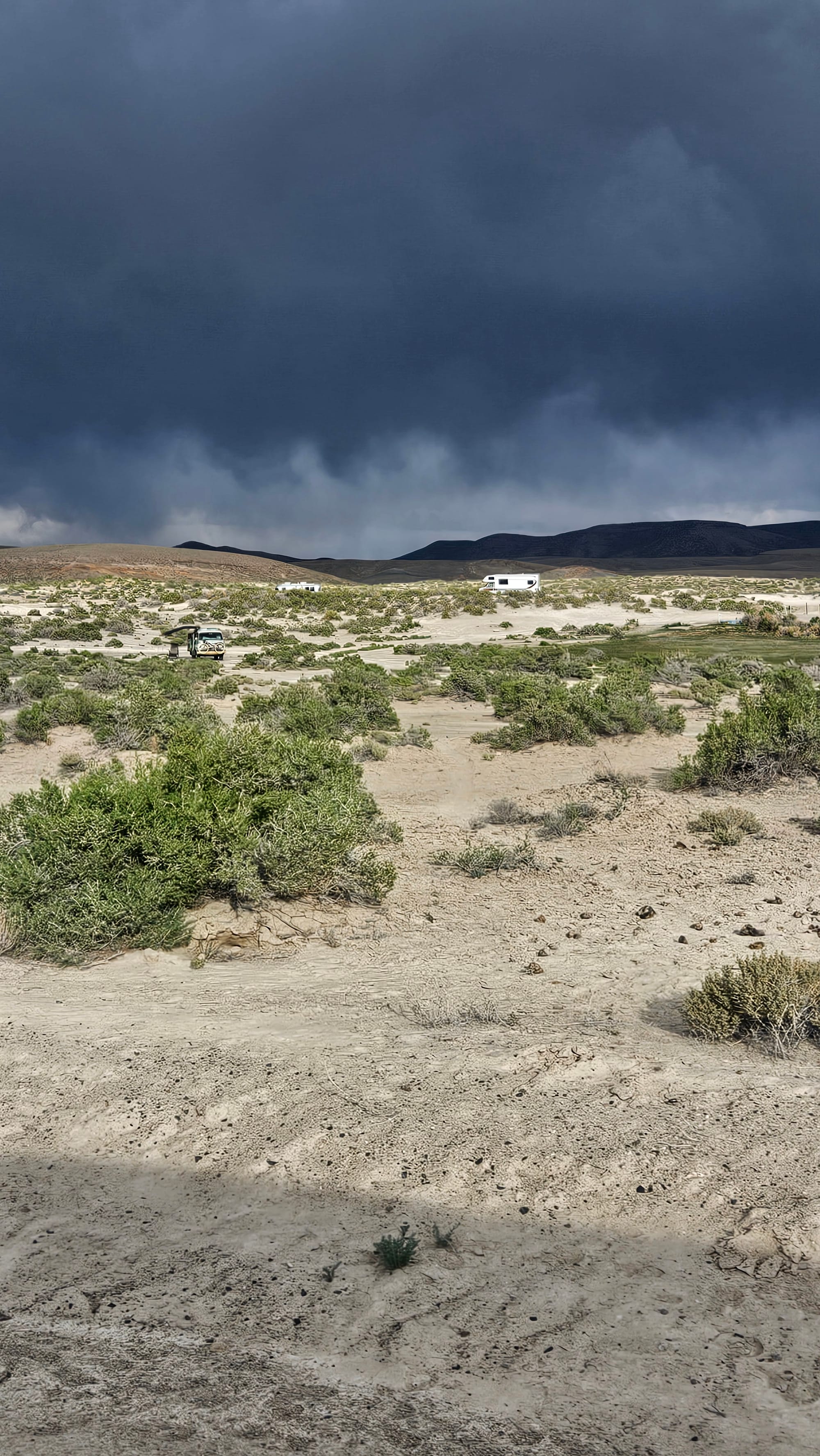
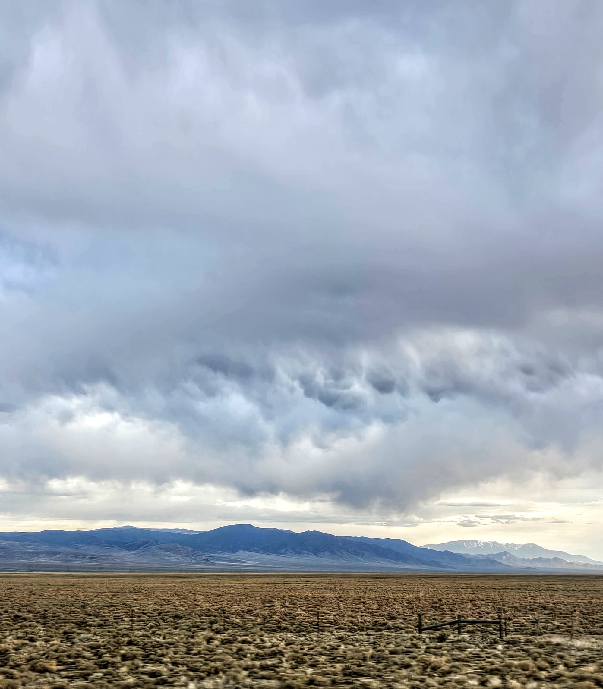
It was beautiful and had great views. We dunked our hands in the water to gauge temperature, but ultimately decided to forgo a soak. Did you see the dark clouds in the photos above? Storms were rolling in and we didn't want to get trapped in the rain on that dirt road. And so we left without seeing the other pools, but we made it out to the paved road just before the rain came.
When we got back to camp, I tried one last time to look up the precise locations of the pools. The best I could do was satellite view, which I had done before, but this time I was able to orient myself better. I'm pretty sure that we drove right by one pool and didn't see it because the grass was so high. Then another pool was likely being hogged by one of the campers we saw. There are strict rules against camping right by the pools, not just due to sharing the pools with others, but also because camping that close to hot springs is illegal because the ground is so delicate. It's possible we were wrong and the pool was further away, but when we were there, we couldn't find the road to go up that hill. It was like a maze in there! Half the campers found spots that we don't even know how they accessed them. What can we say, we're horrible at dispersed camping.
Even though we opted out of soaking, we were glad to have explored this area. We saw what magic lies beyond the edges of the Loneliest Road.
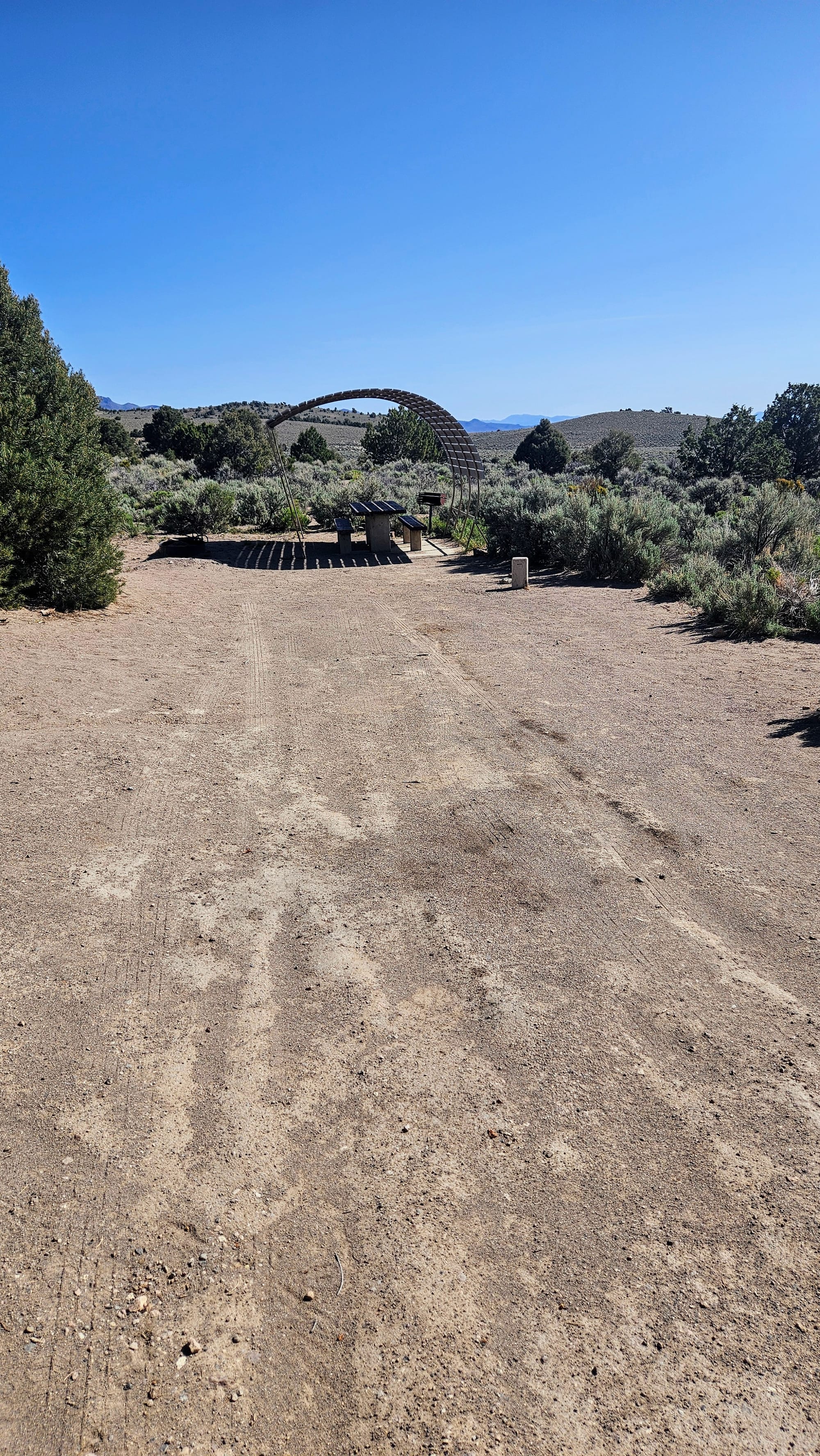
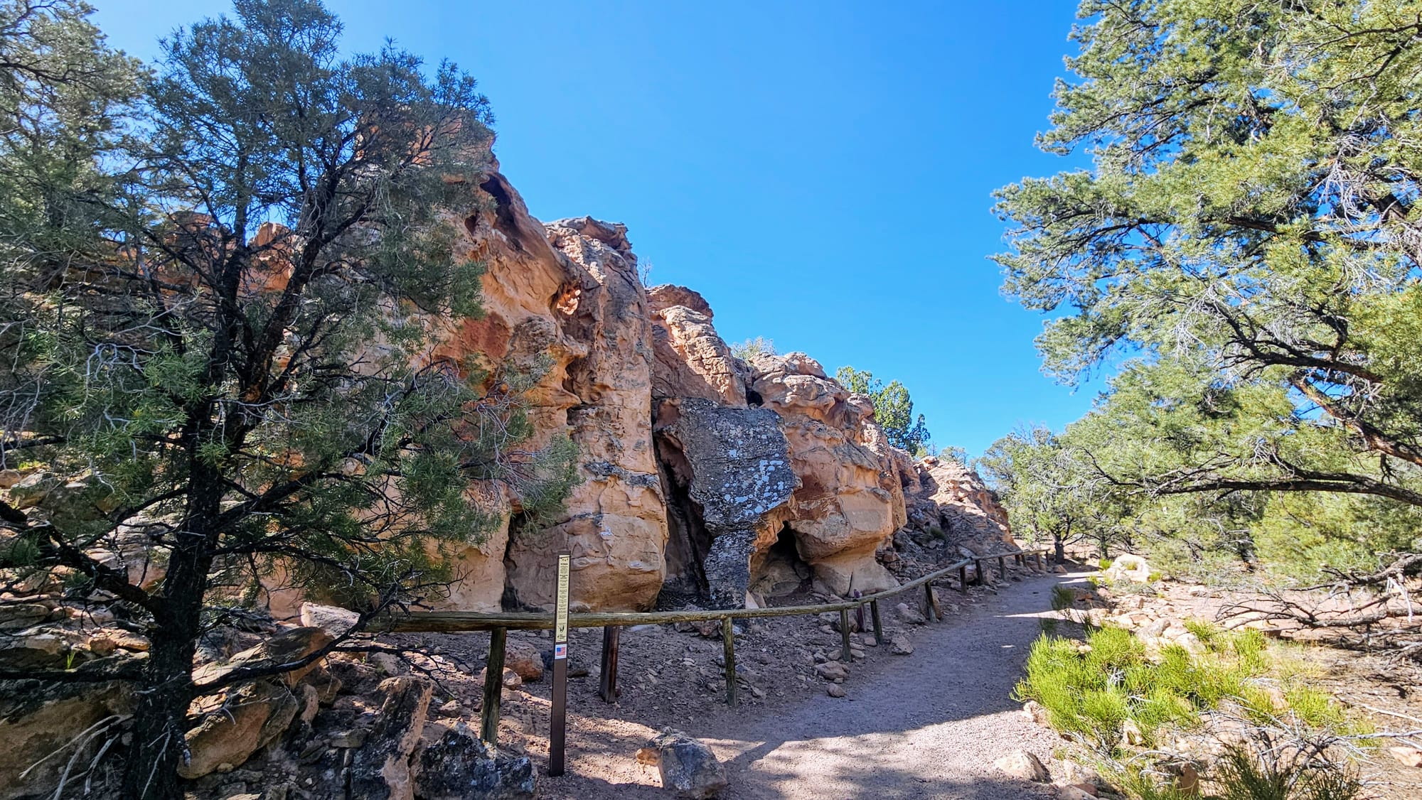
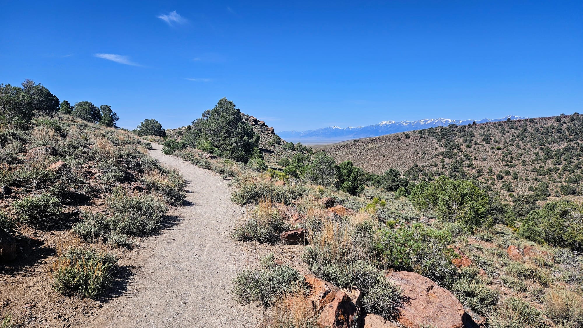
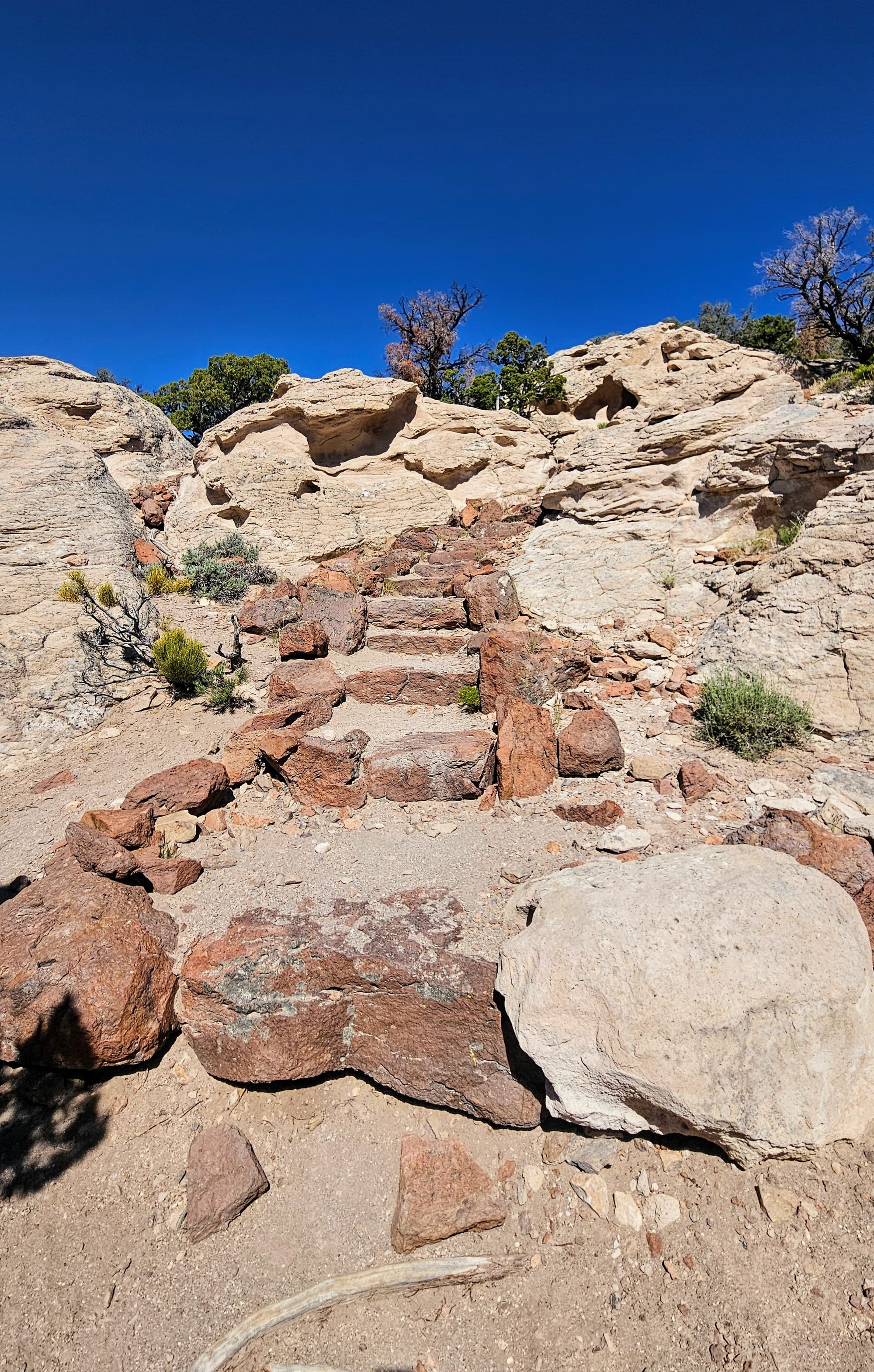
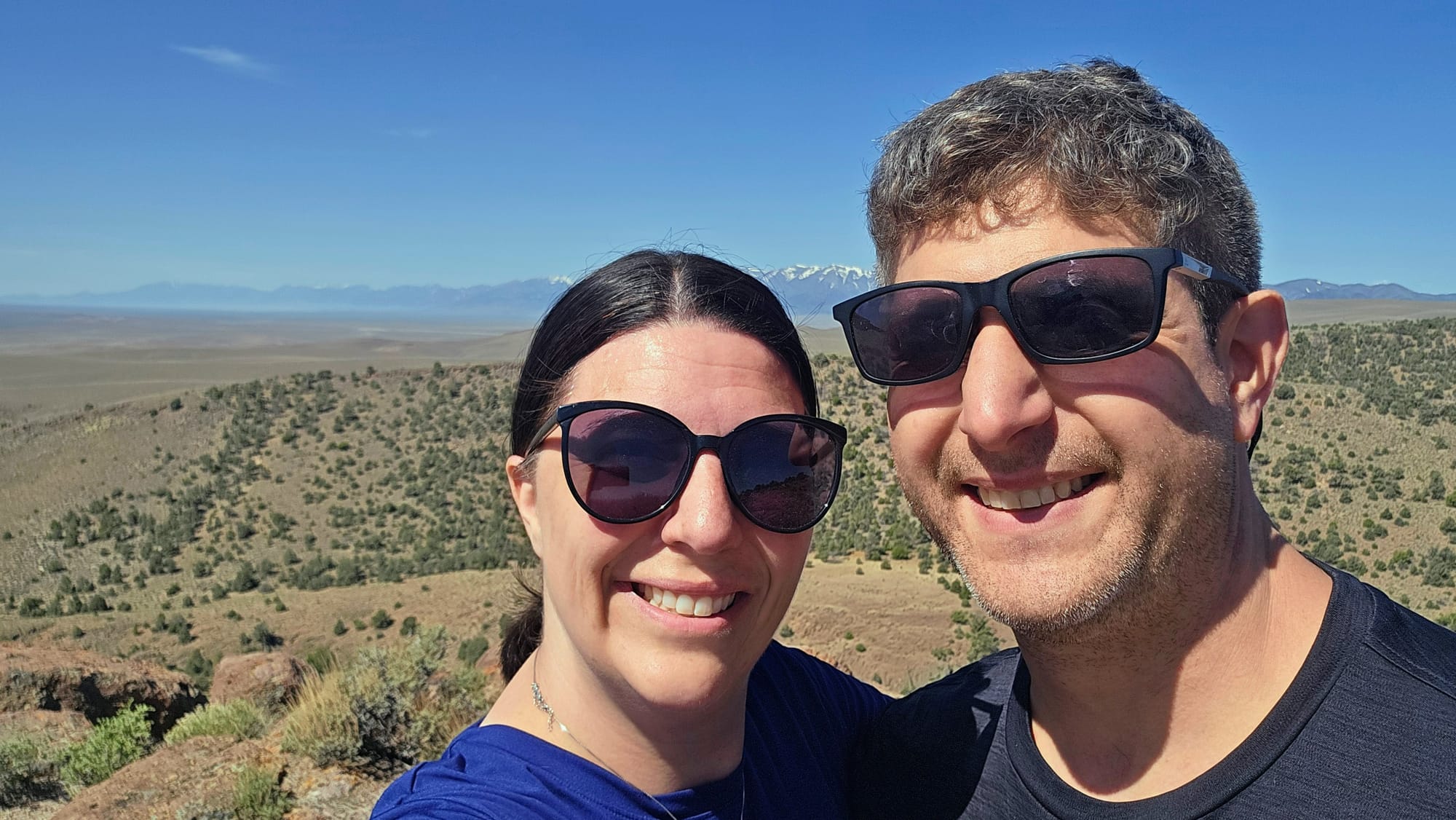
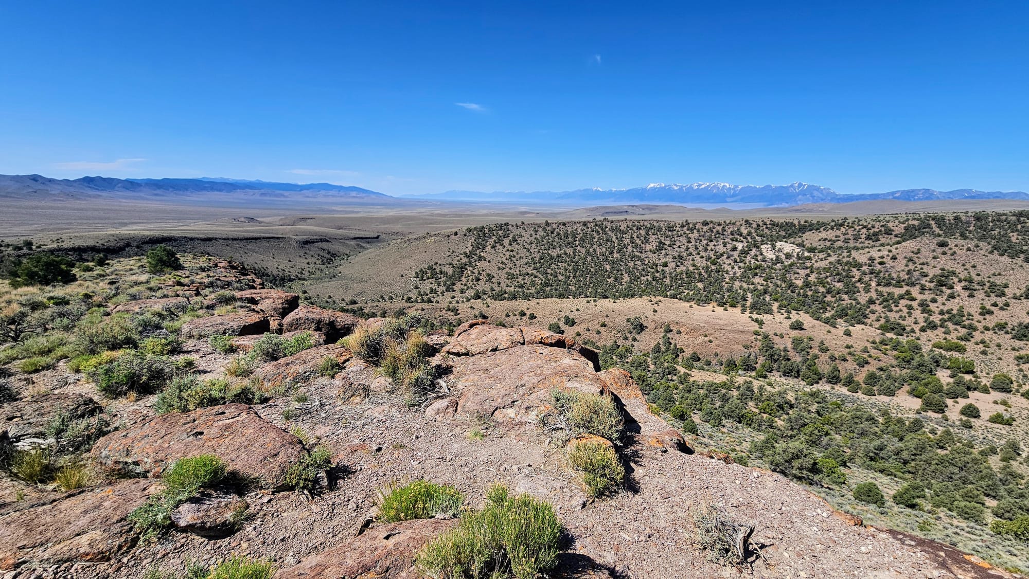
Having direct access to our morning petroglyph hike was perfect. Some reviewers complained that the petroglyphs themselves were lackluster but the hiking and camping here are great, and we agree. We've seen a ton of petroglyphs in our travels, and these ones were fewer and more faded. The trail has informational posts along the way, but there are no guides, physical or digital, that visitors can find. And so, we hiked for the exercise and the views, instead of for the history, and we were totally fine with that.

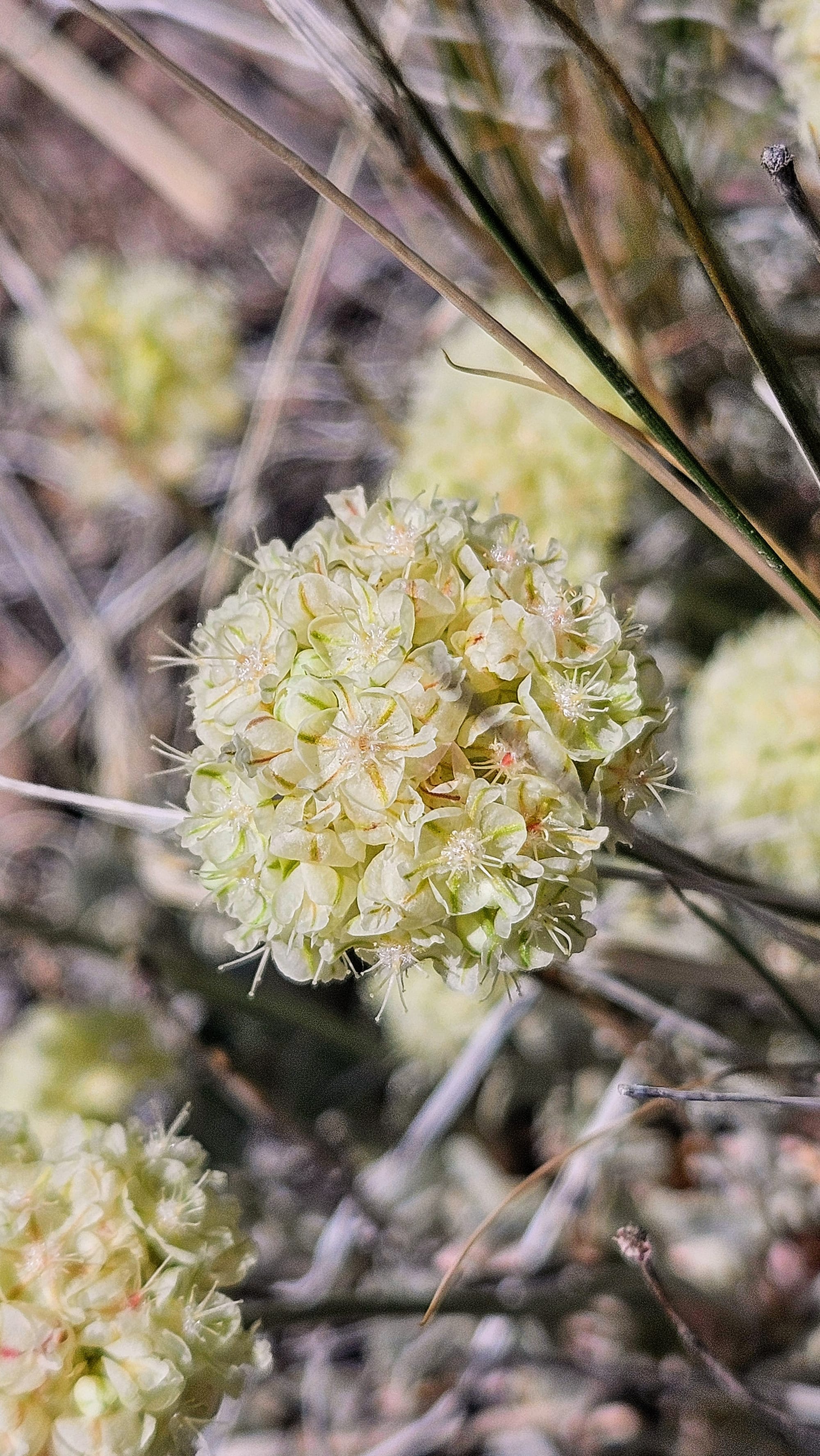
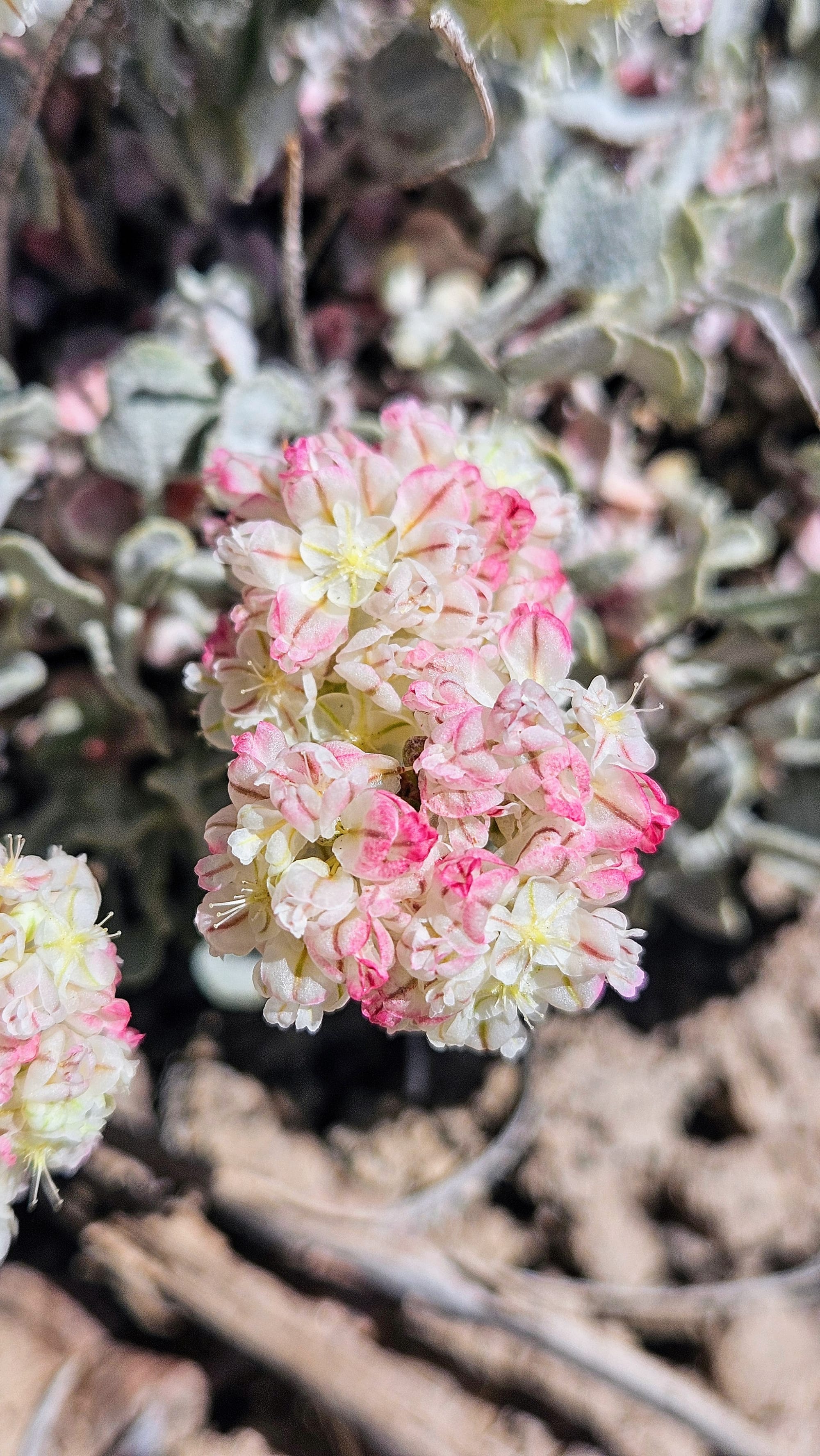
Wild buckwheat
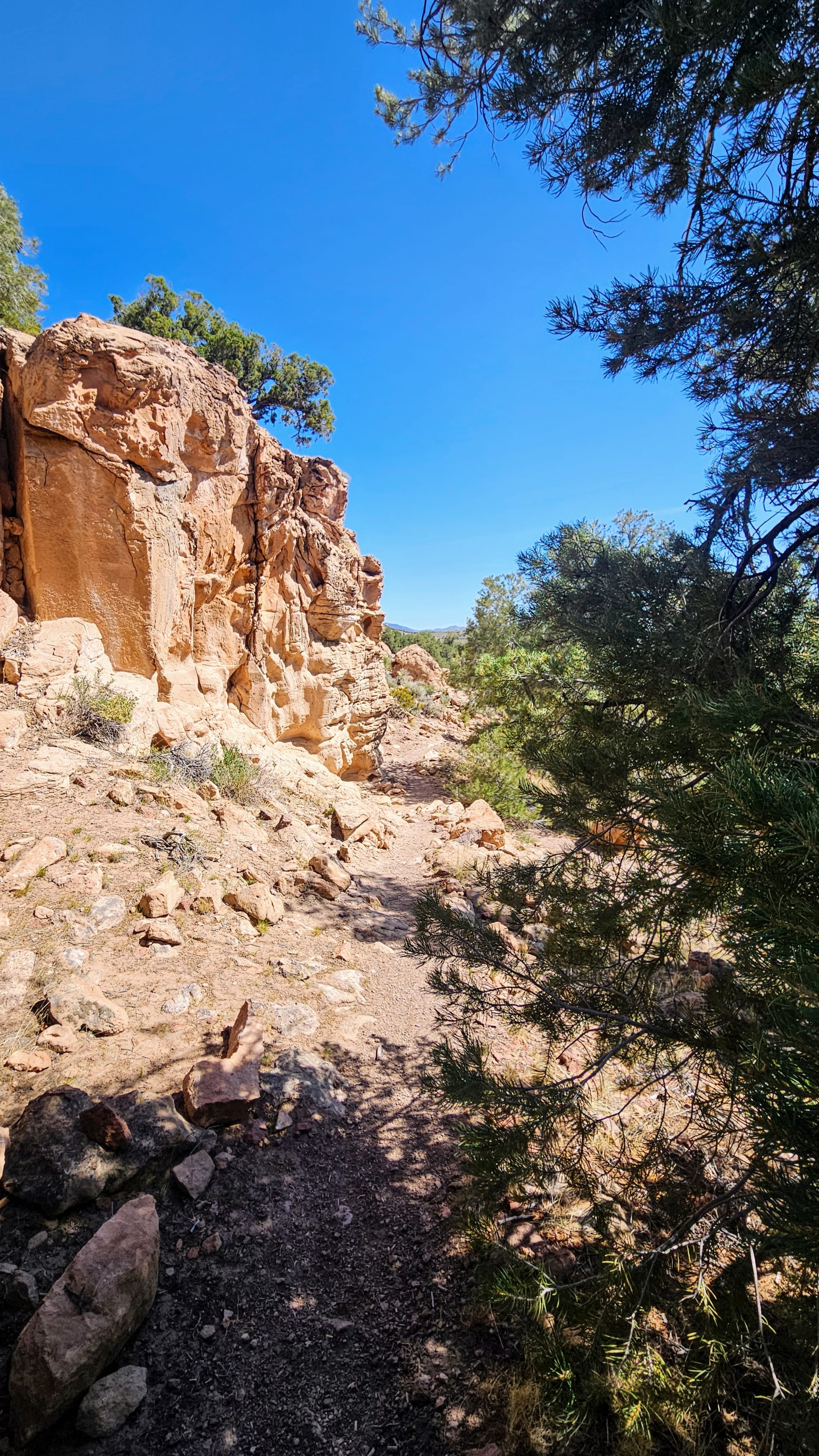
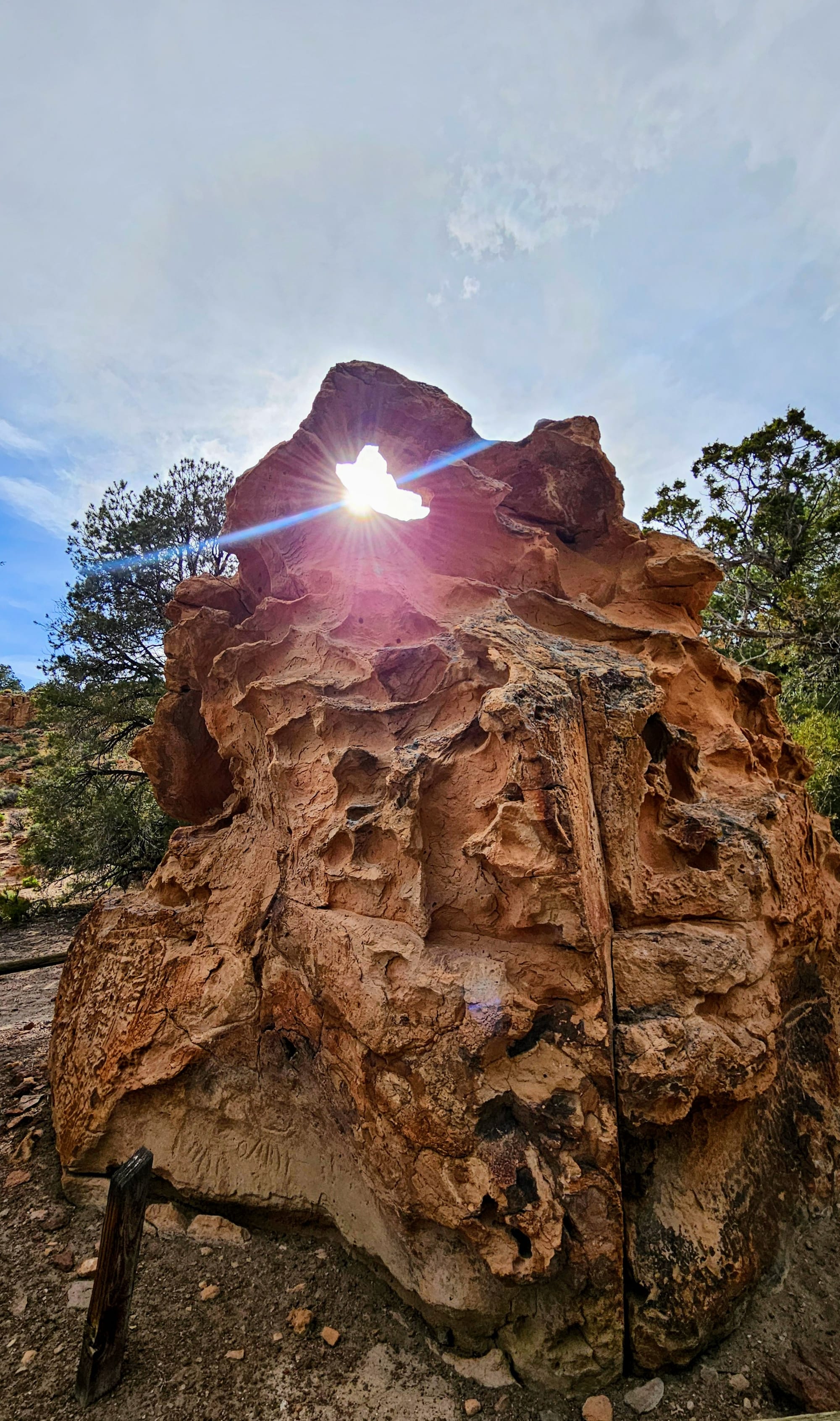
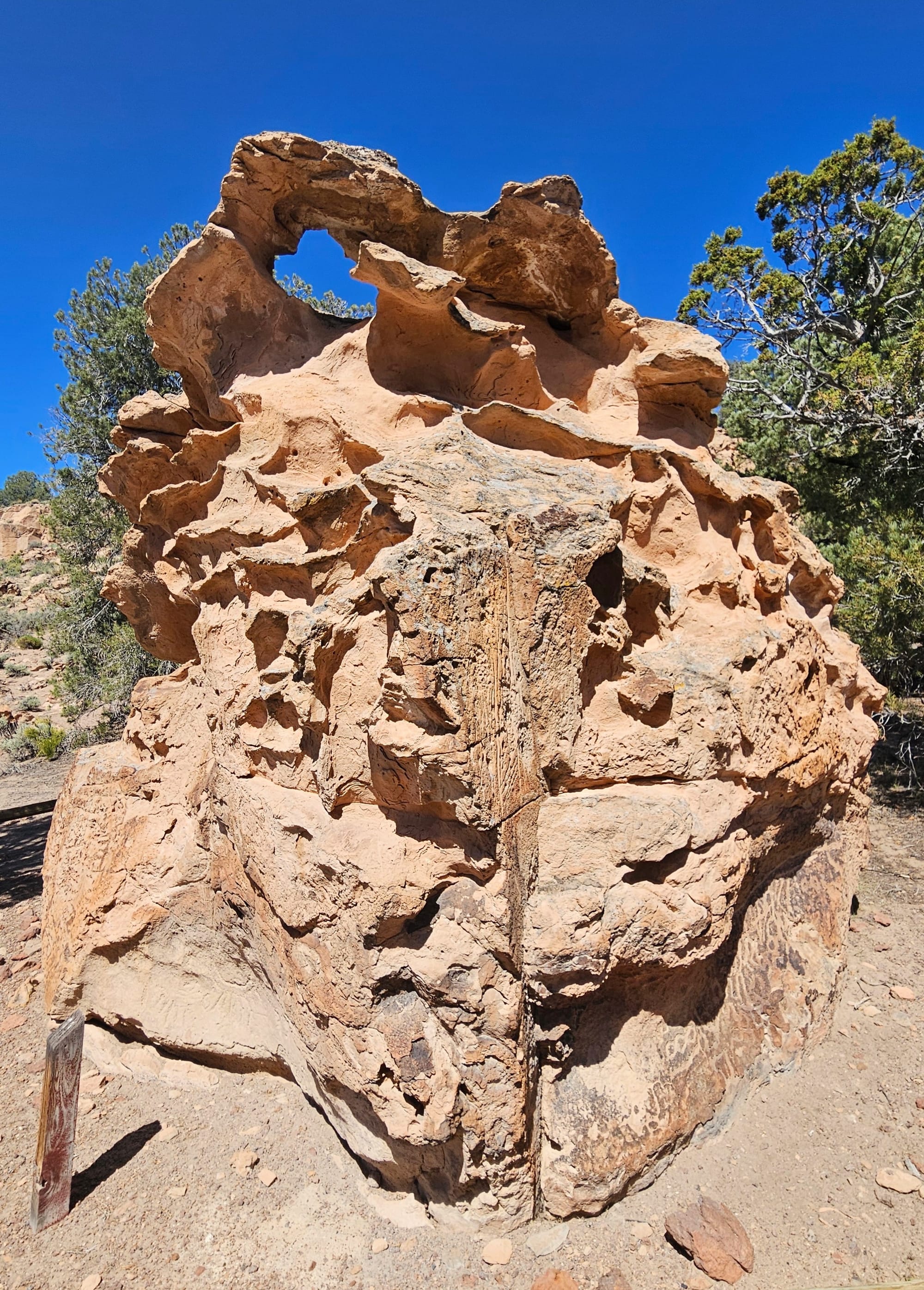
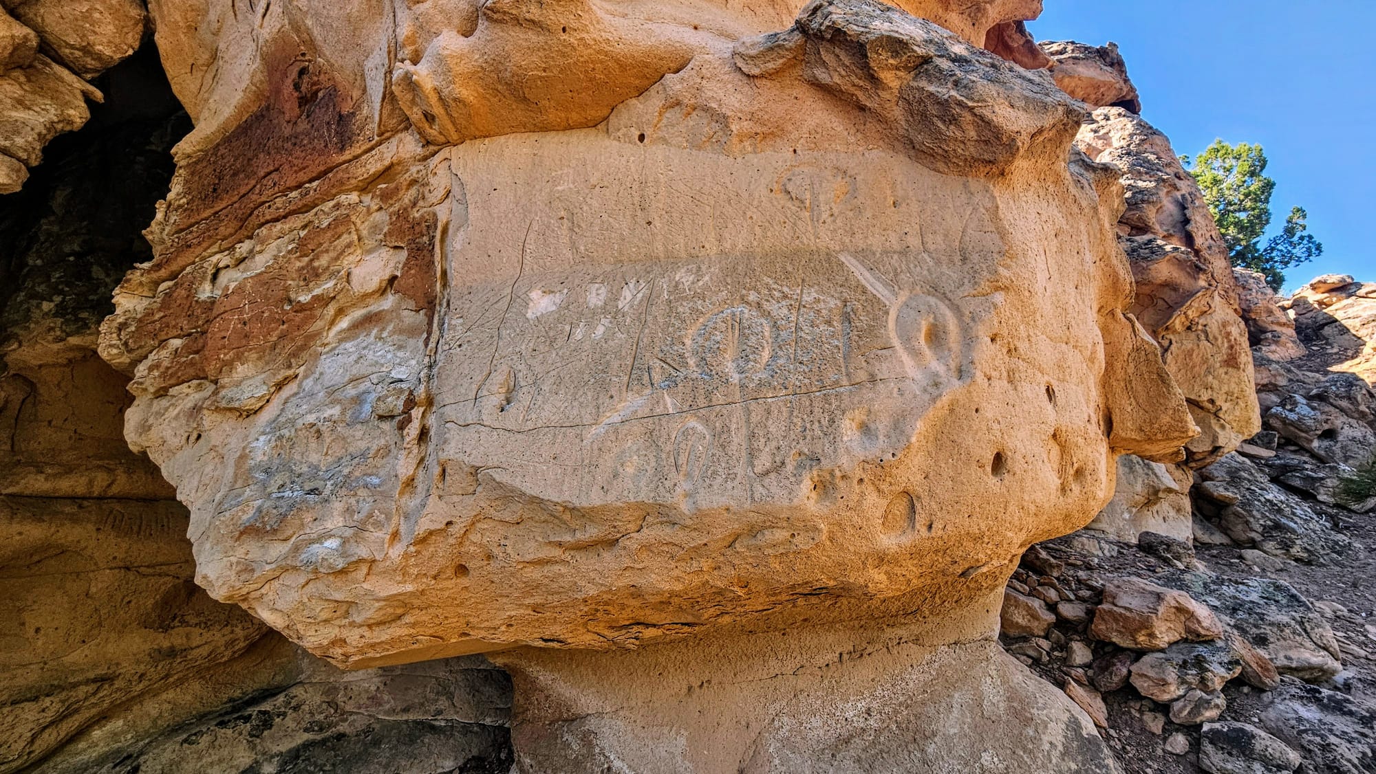
This formation was the closest to our campsite and I thought it was so cool! I took a picture of it the night of our arrival, when the sun was in the perfect position to shine through the little arch.
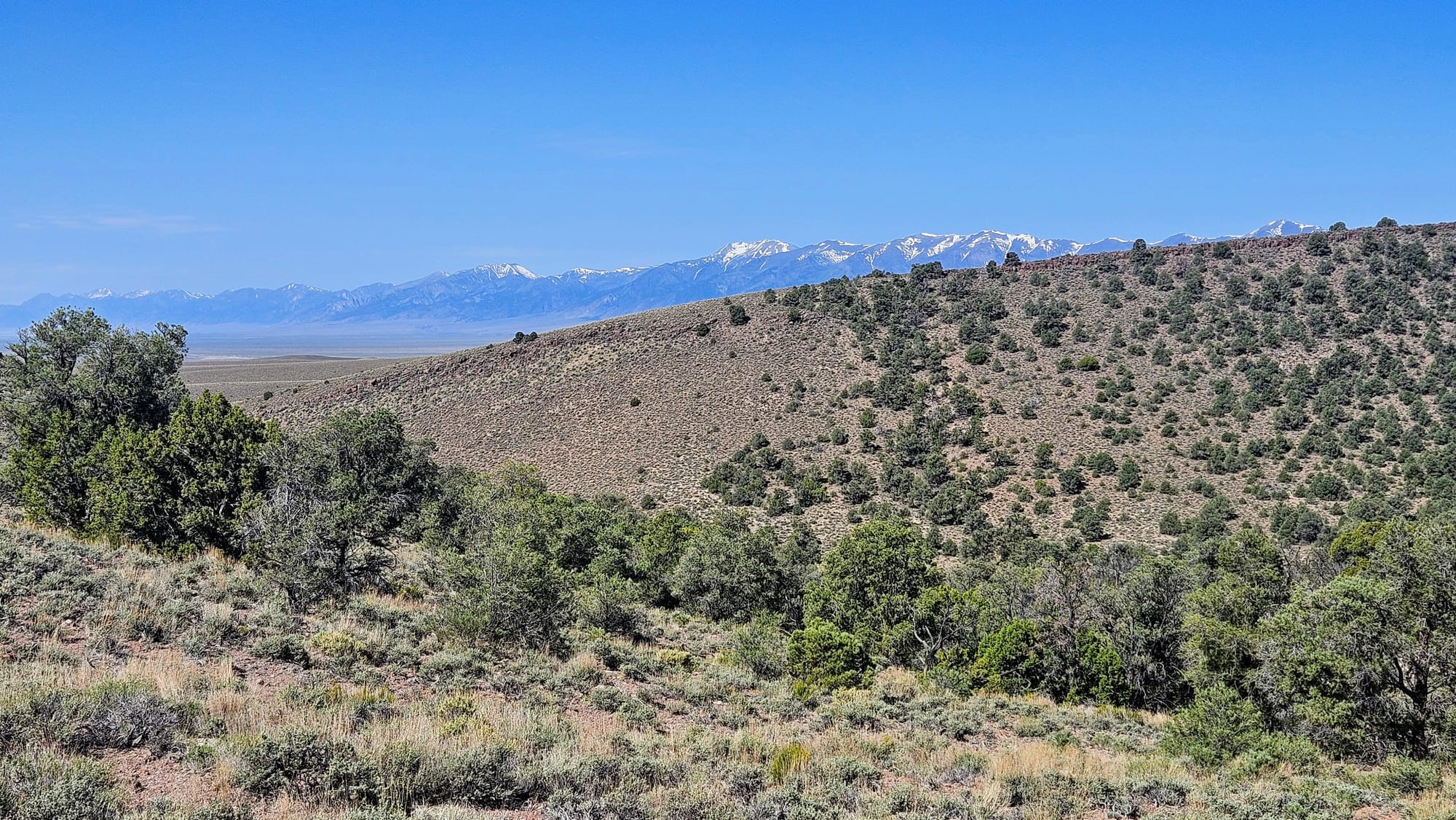
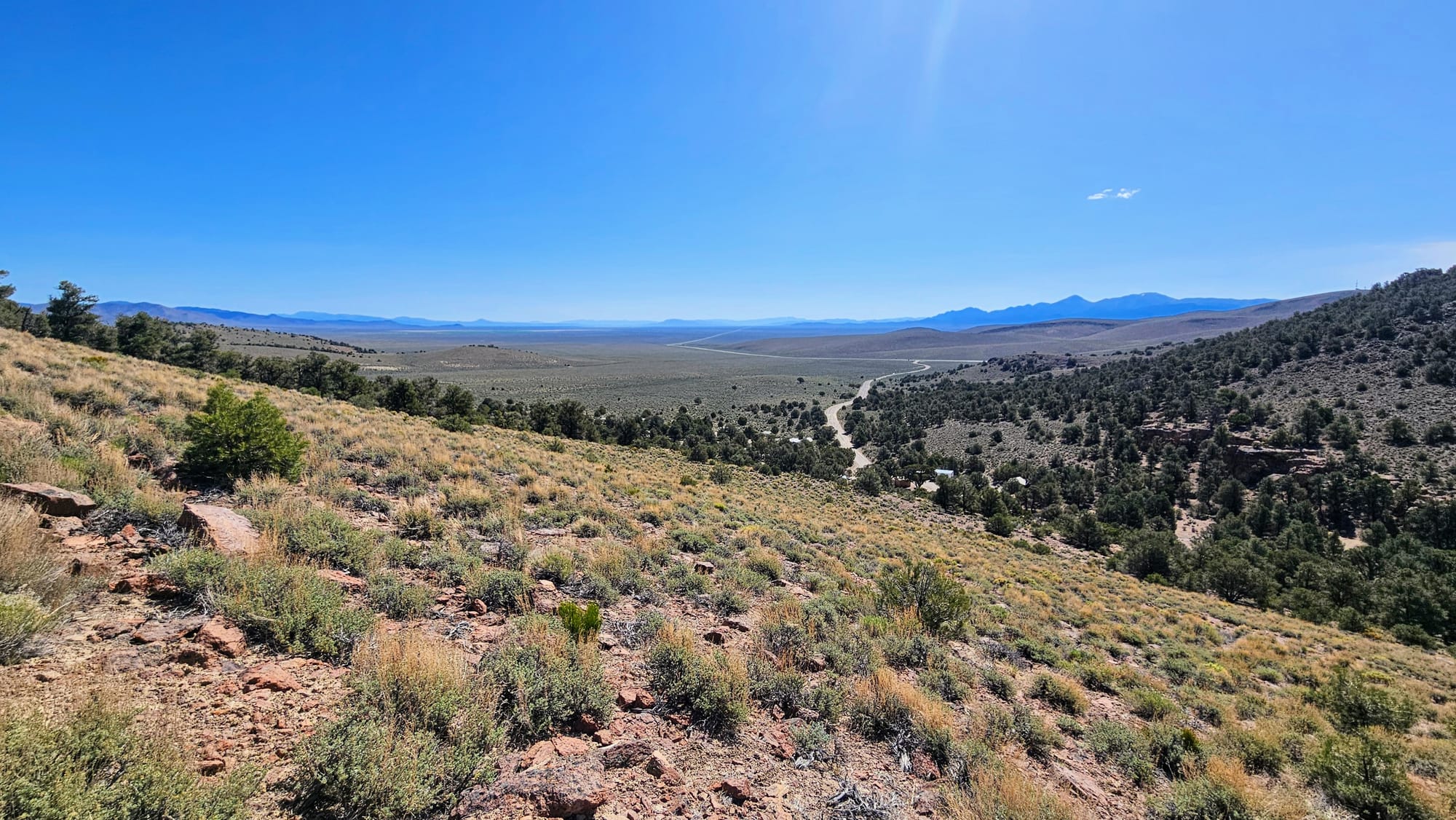
The trail totaled just over 1.5 miles and gave us just enough elevation gain that we felt we gave our muscles a good workout. We got back to our campsite just as the temperatures were rising, but we were about to head further up in elevation, and into some slightly cooler temperatures. Day 2 of travels on the Loneliest Road was about to commence! Where would the road lead us next?
To be continued.